|
| SR 4 extends west from SR 89 toward Centreville Flat, Ebbetts Pass, Hermit Valley, Pacific Grade Summit, Lake Alpine, Bear Valley and Angels Camp. The highway has significant grades and sharp curves along the initial 25 mile stretch. 07/18/09 |
|
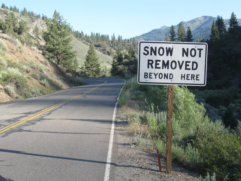
| Snow removal is not conducted along SR 4 southwest of the intersection with SR 89. A significant portion of the route is closed during winter as well. 07/18/09 |
|
| This reassurance shield and advisory sign for travel over Ebbetts Pass and Pacific Grade Summit appear at the site of Centreville Flat by the confluence of Silver Creek and the East Fork of the Carson River. A campground is located between the state route and nearby river. 07/18/09 |
|
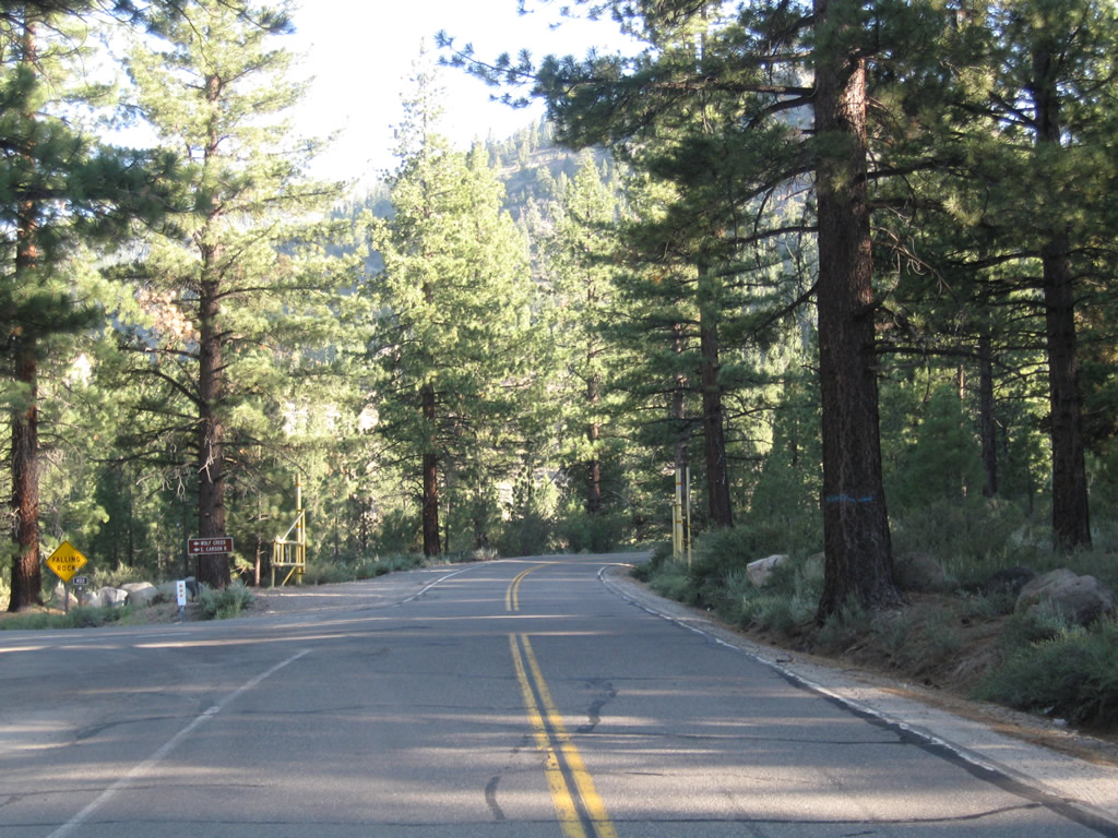
| A gate for winter closure lies just beyond the SR 4 intersection with Wolf Creek Road at Centreville Flat. The state route is closed throughout the winter months and reopens each spring depending on amount of snow that has fallen. 07/18/09 |

 West
West