| California 37 west |
|
Starting on the transition ramp from eastbound Interstate 80, the first exit on California 37 is the split with Auto Mall/Columbus Parkway. From here, California 37 will loop back toward the west. Photo taken 05/25/06. |
|
The ramp from eastbound Interstate 80 to westbound California 37 prepares to merge with the ramp from westbound Interstate 80. Most of this interchange was expanded to its present capacity in 1975. Photo taken 05/25/06. |
|
The transition ramp next merges with traffic from Columbus Parkway westbound. Photo taken 05/25/06. |
|
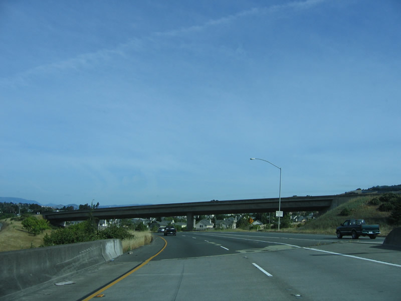
Traffic from westbound Interstate 80 merges with traffic from eastbound Interstate 80 (as seen from the lanes from eastbound Interstate 80). Photo taken 05/25/06. |
|
|
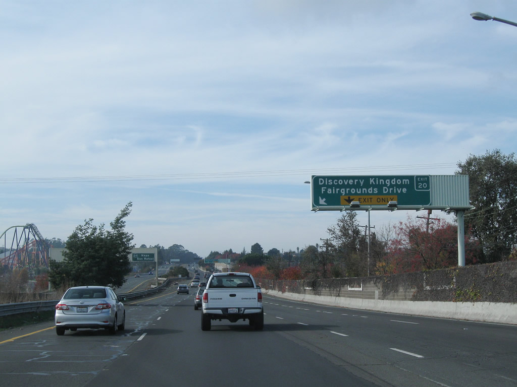
The first exit on westbound California 37 (Marine World Parkway) is Exit 20, Fairgrounds Drive to Discovery Kingdom (formerly Marine World) in Vallejo. Marine World, an amusement park, sits to the south of California 37. This sign was changed by 2011. Photos taken 11/27/11 and 05/25/06. |
|
A pull through sign for California 37 west is posted in the median prior to Exit 20, Fairgrounds Drive. Destination cities are Napa and San Rafael (Napa via California 29 north and San Rafael via U.S. 101 south). Photo taken 05/25/06. |
|
|
Westbound California 37 meets Exit 20, Fairgrounds Drive to Marine World. Some of the roller coasters can be seen to the south of the freeway. Photos taken 07/05/13 and 05/25/06. |
|
Nearing the bottom of the off-ramp from California 37 west to Fairgrounds Drive is this traffic signal. Turn left for Discovery Kingdom. Photo taken 11/27/11. |
|
Traffic from Fairgrounds Drive merges onto California 37 west. Photo taken 07/05/13. |
|
Back on the mainline, we pass through the Fairgrounds Drive interchange. Photo taken 07/05/13. |
|
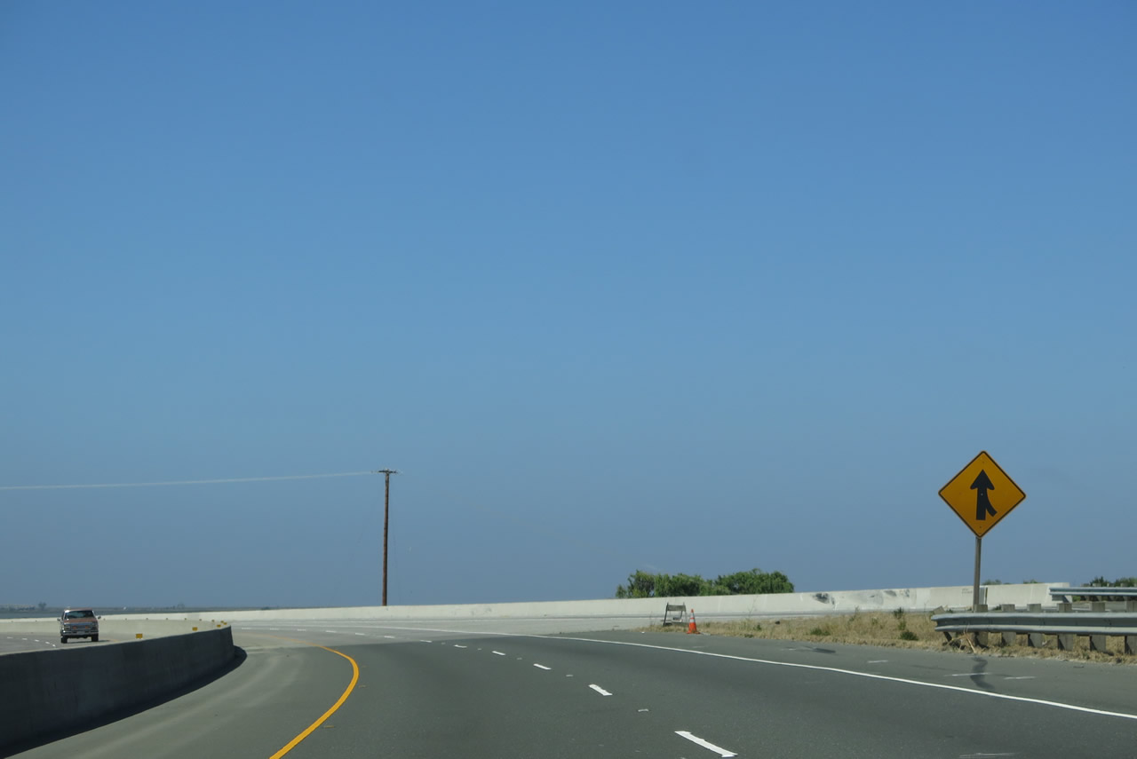
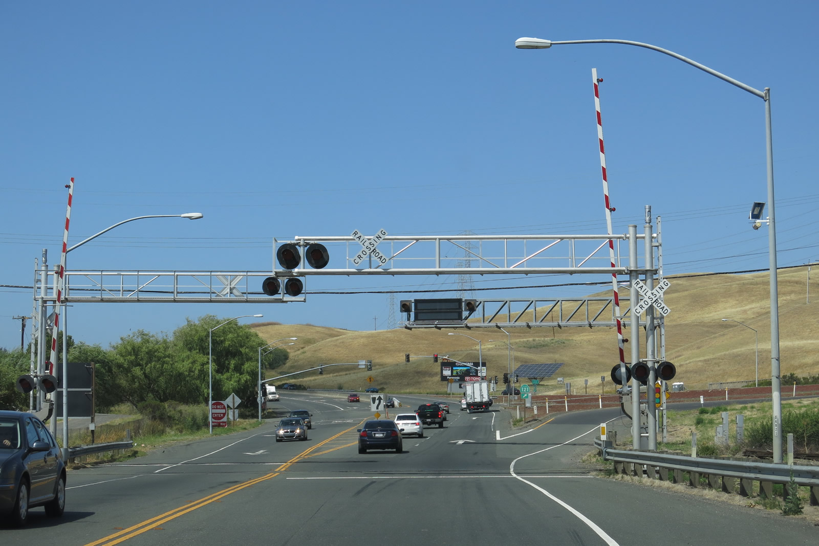
This interchange sequence sign provides the distance to the next two exits: Exit 19, California 29 (Sonoma Boulevard) and Exit 18, Wilson Avenue and Sacramento Street. This section of freeway opened to traffic in 2005. Photo taken 05/25/06. |
|
The right lane becomes exit only for Exit 19, California 29. Use California 29 north to Napa and Napa Valley; the state highway generally has four lanes and is a fairly fast route to the famed Wine Country of Napa Valley. To the south, California 29 follows Sonoma Boulevard into downtown Vallejo. Photo taken 05/25/06. |
|
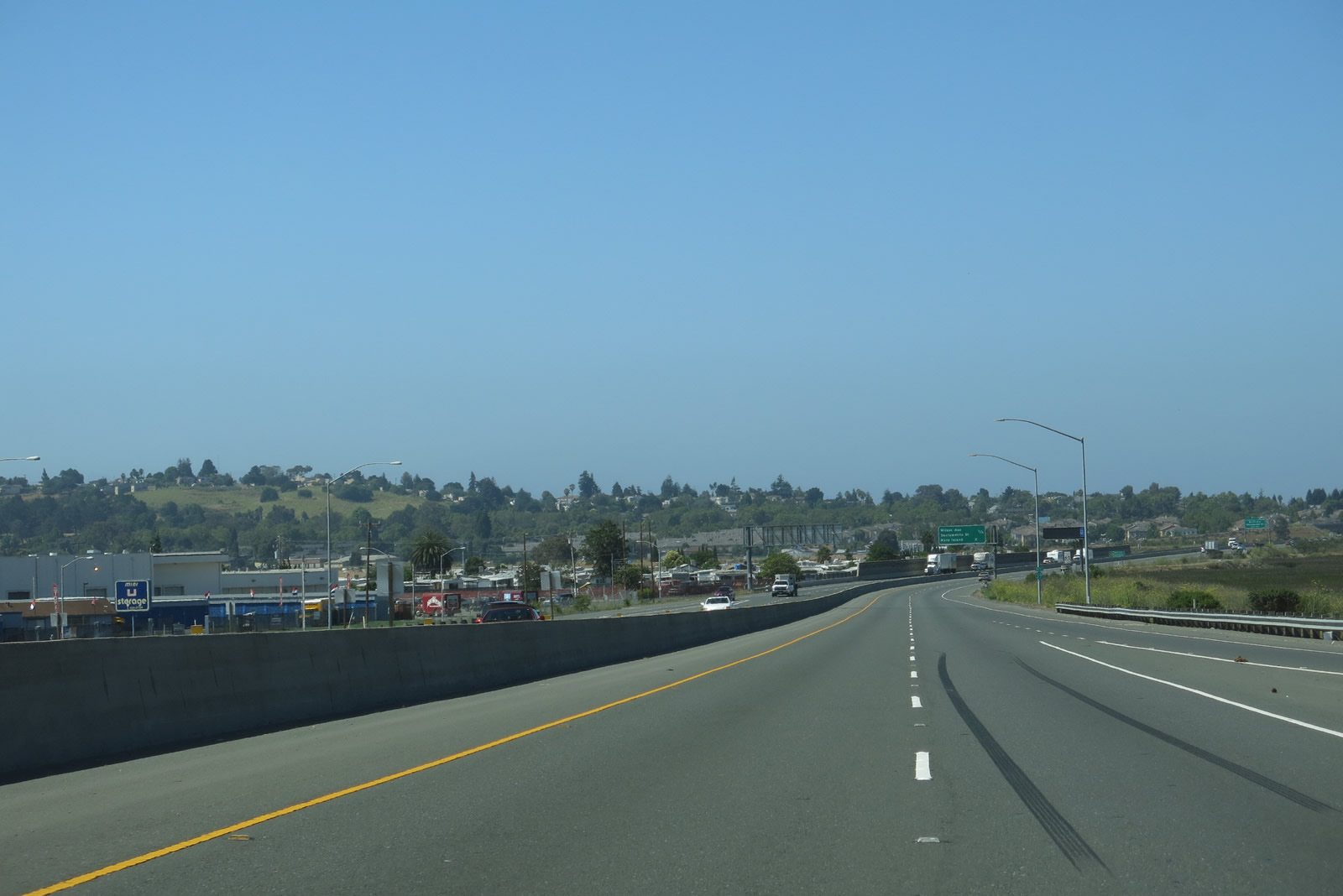
Westbound California 37 reaches Exit 19, California 29 north/south to Napa and downtown Vallejo. The city of Vallejo was incorporated in 1867. Vallejo is home to 116,760 (2000 Census) and averages about 60 feet. The next exit is Exit 18, Wilson Avenue and Sacramento Street. Photo taken 07/05/13. |
|
California 37 passes over Broadway Street. The following bridge will take the freeway over California 29 (Sonoma Boulevard). A frontage road on the south side of the freeway (Lewis Brown Drive) is the original alignment of California 37 before it was converted to freeway standards. Photo taken 07/05/13. |
|
|
|
|
|
| Passing through the California 29 interchange, California 37 will skirt the northern edge of Vallejo. The Mare Island Bridge comes into view; this bridge carries California 37 over the Napa River and was constructed in 1966. Photos taken 07/05/13. |
|
A California 37 west shield is posted after the on-ramps from California 29 (Sonoma Boulevard). Photo taken 07/05/13. |
|
The next two exits along westbound California 37 are Exit 18, Wilson Avenue and Sacramento Street and Exit 17, Mare Island. Photo taken 07/05/13. |
|
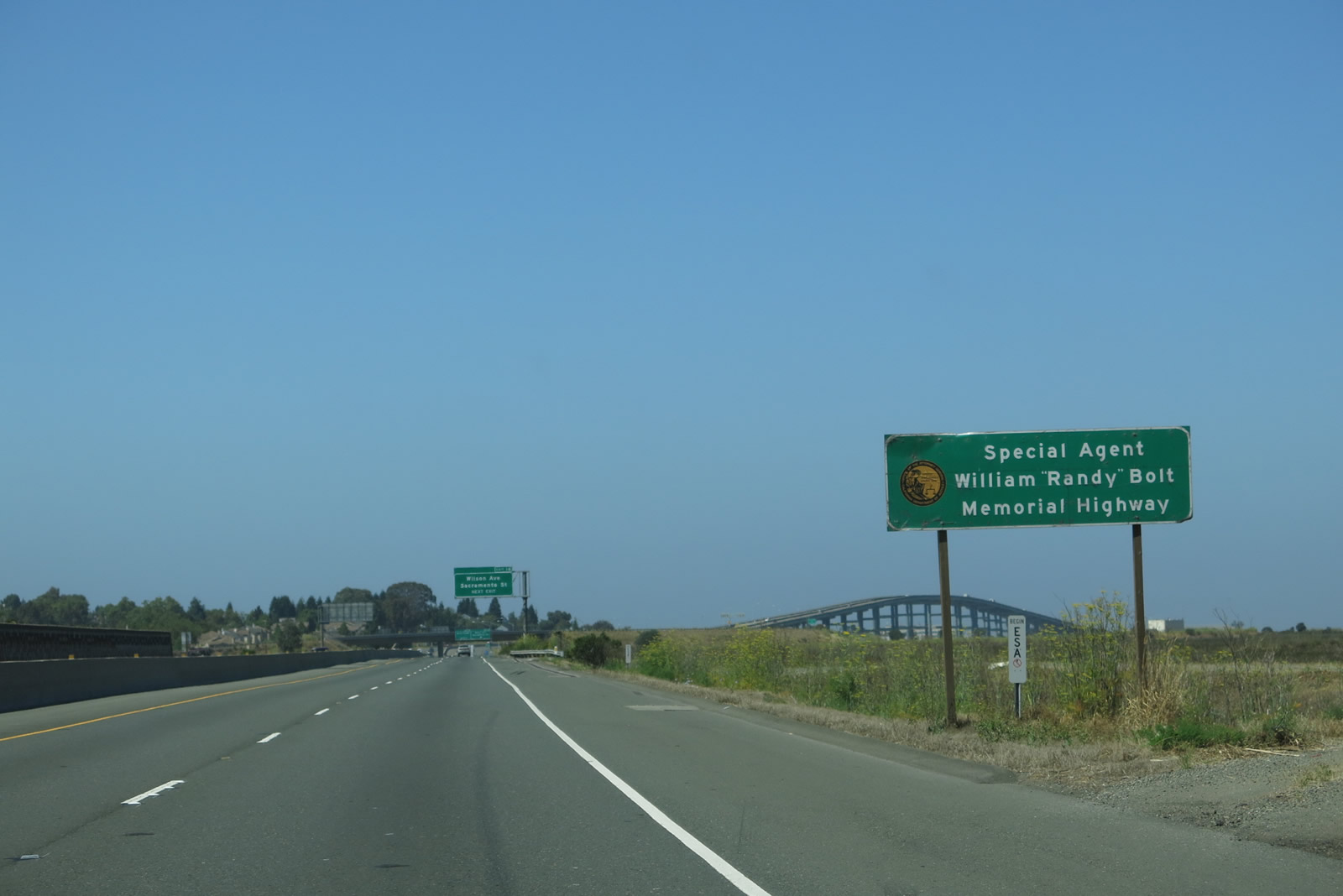
This section of California 37 is designated as the Special Agent William "Randy" Bolt Memorial Highway. Photo taken 07/05/13. |
|
Continuing west, wetlands and marsh areas dominate the view to the north and west from California 37. To the south is the White Slough, which is also an open space area. Exit 18 is just ahead. Photo taken 07/05/13. |
|
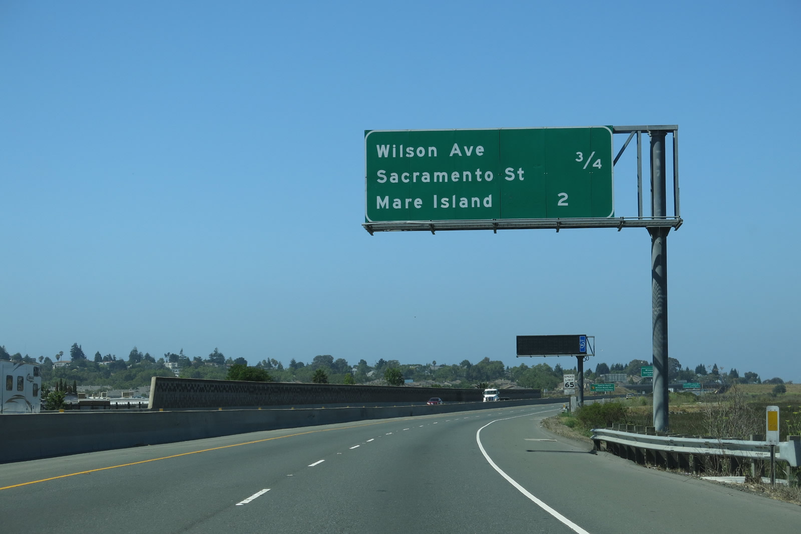
Westbound California 37 reaches Exit 18, Wilson Avenue and Sacramento Street. Both Wilson Avenue and Sacramento Street travel south from this interchange; upon exiting, turn left to Wilson Avenue south or turn right to Sacramento Street south. Both streets serve the neighborhood situated between the Napa River on the west and the White Slough on the east. Photo taken 07/05/13. |
|
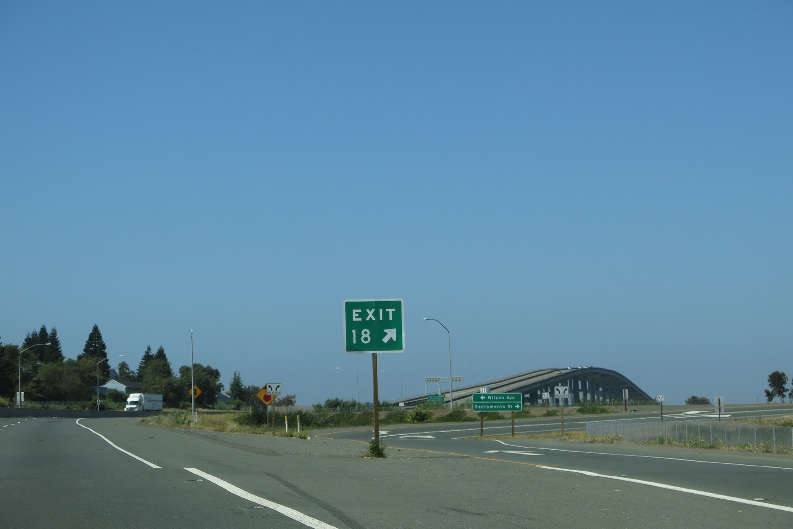
Upon exiting, turn left for Wilson Avenue south to the Mare Island Causeway and historic Vallejo or right for Sacramento Street south to downtown Vallejo. Photo taken 07/05/13. |
|
Prior to merging with traffic from Sacramento Street and Wilson Avenue is this view of the Mare Island Bridge (1966). Photo taken 05/25/06. |
|
|
A reassurance shield for California 37 west is posted after the Sacramento Street and Wilson Avenue interchange. Use Exit 17 for a Vista Point on Mare Island. Photos taken 07/05/13 and 05/25/06. |
|
|
The next exit along westbound California 37 is Exit 17, Walnut Avenue south to Mare Island. The exit is located at the base of the Mare Island Bridge. The original sign was replaced with an exit number sign between 2006 and 2013. Photos taken 07/05/13 and 05/25/06. |
|
|
|
|
|
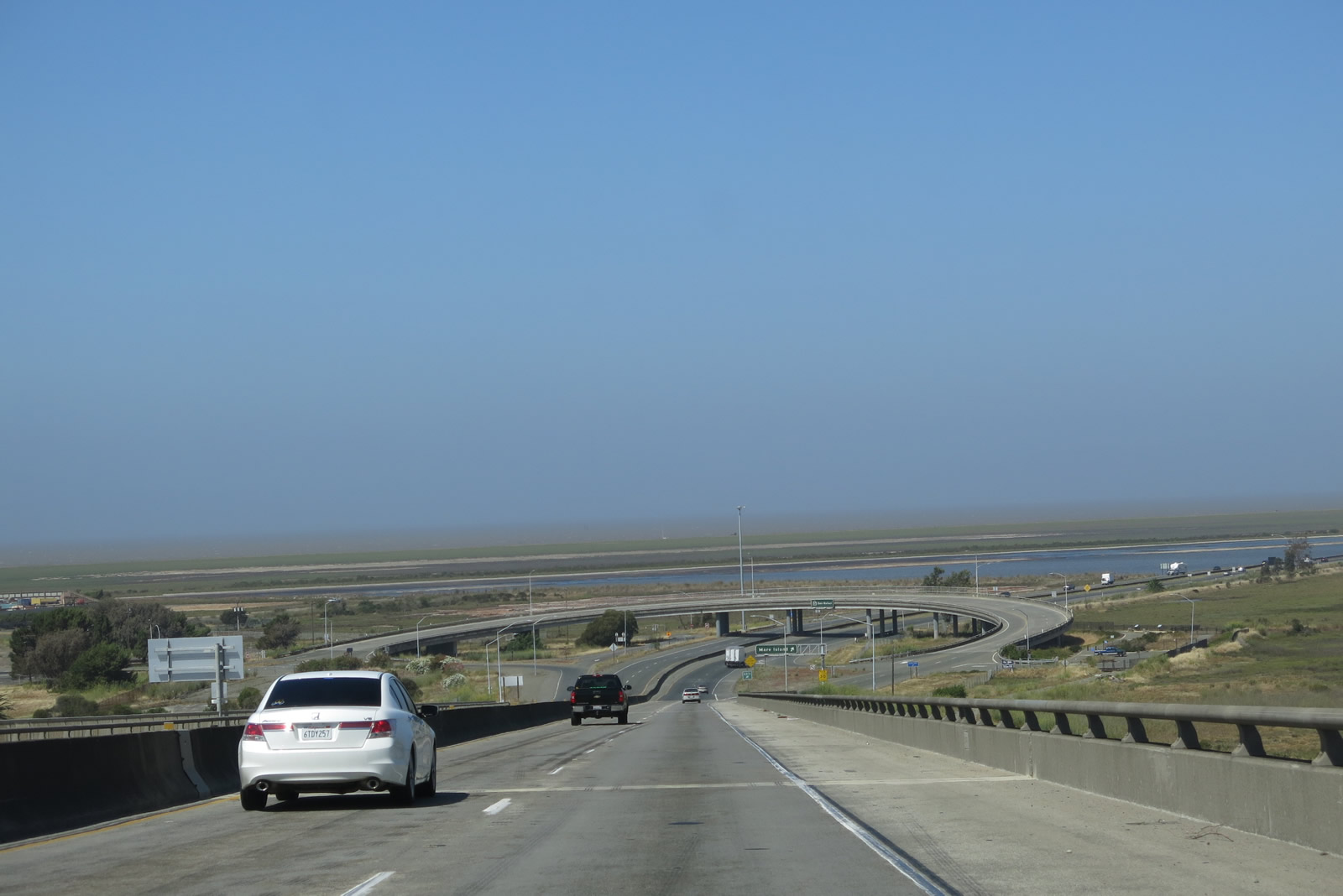
| The Mare Island Bridge, built in 1966, replaces an older lift bridge that is visible to the south. The lift bridge is still in use as part of the Mare Island Naval Reservation. The bridge is freeway standard with wide shoulders and sight distance. Photos taken 05/25/06 and 07/05/13. |
|
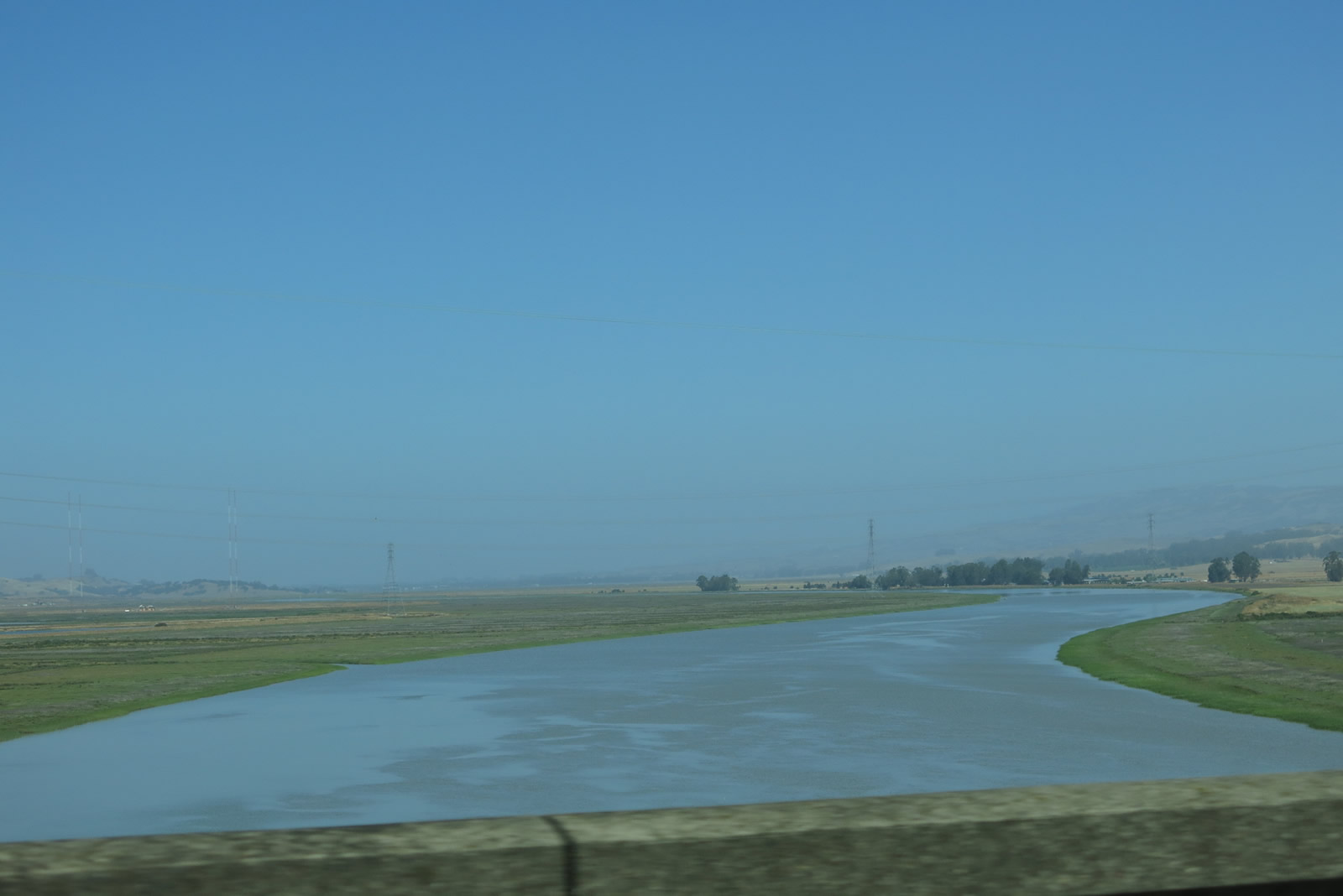
Looking north from the Mare Island Bridge, the Napa River flows from Napa Valley south into San Pablo Bay. Photo taken 07/05/13. |
|
View of the lowlands and Mare Island as seen along westbound California 37 west of Vallejo. Photo taken by Pete Sison, 05/24/03. |
|
At the western base of the Mare Island Bridge, westbound California 37 reaches Exit 17, Walnut Avenue south to Mare Island. This looping interchange is indicative of its mid-1960s construction. Photo taken 07/05/13. |
|
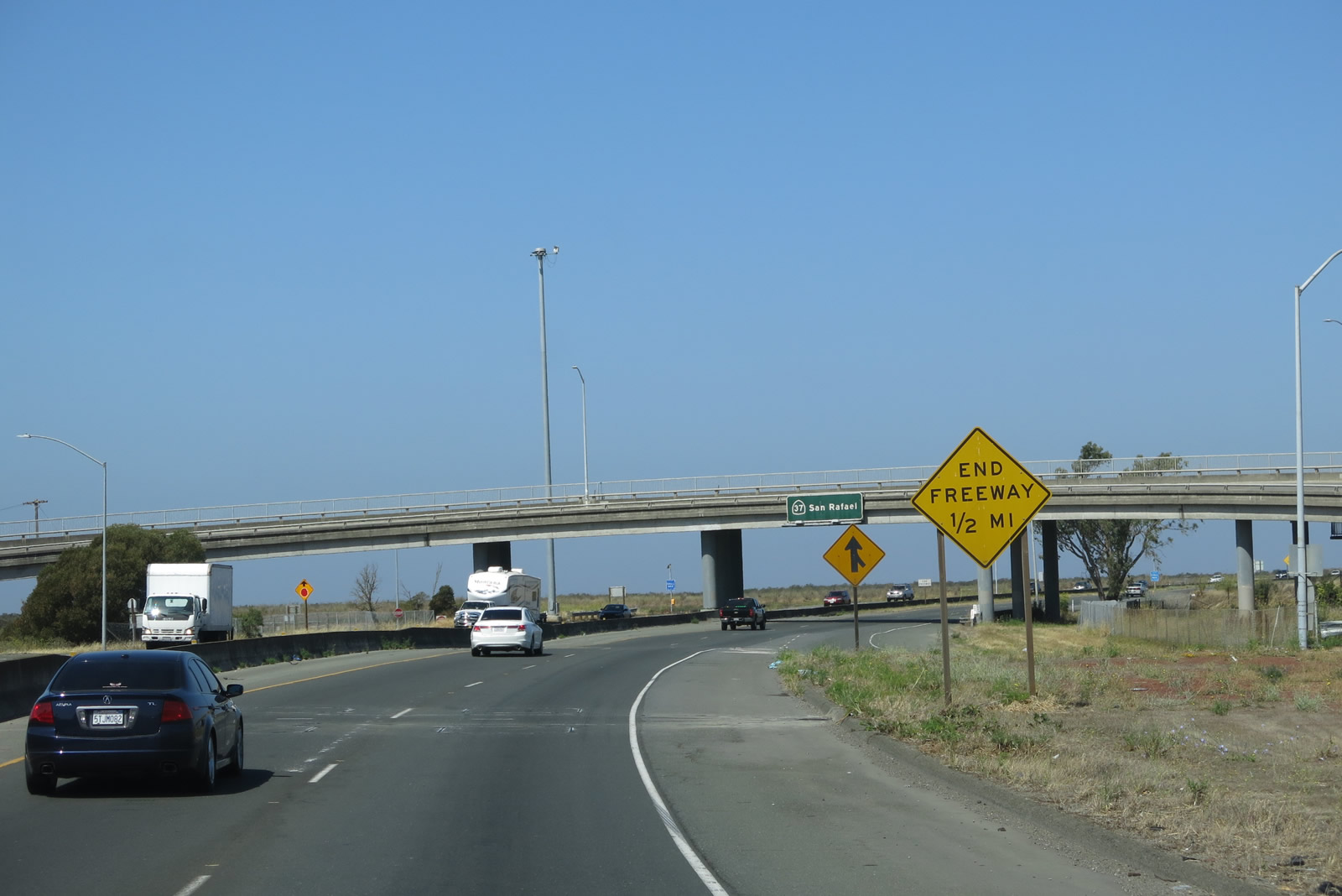
Passing through the interchange for Exit 17, the freeway ends about a half-mile ahead. At this point, California 37 becomes known as Sears Point Road, but it has a local nickname of "Blood Alley" due to the high number of accidents and injuries that have occurred along the non-freeway segments of California 37. Median barriers along the two-lane stretch of California 37 have reduced crossover accidents due to dangerous attempts to pass slower vehicles. Photo taken 07/05/13. |
|
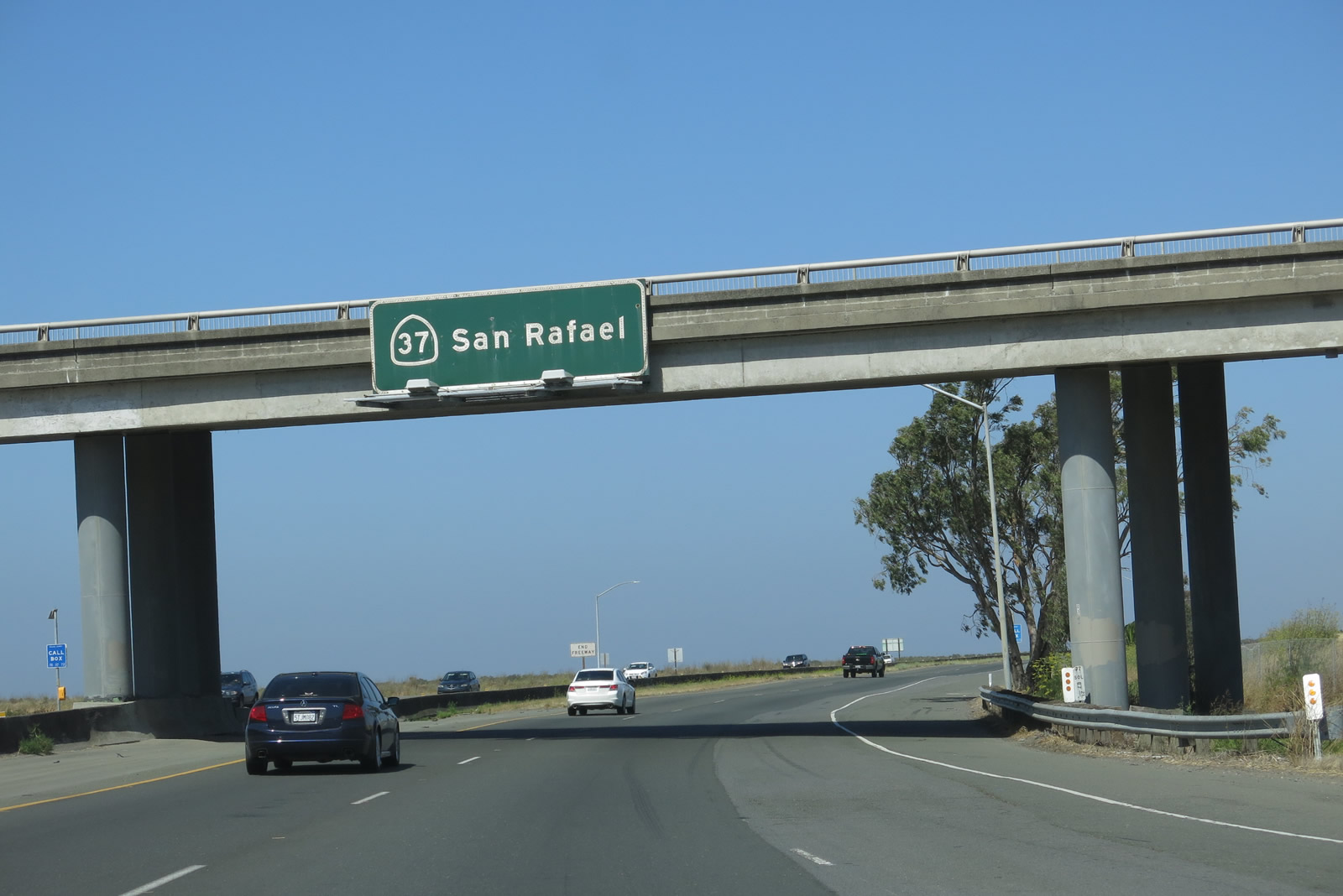
A porcelain pull through overhead sign for California 37 is posted on the connecting ramp from westbound California 37 to southbound Walnut Avenue. San Rafael remains the control city for the entire length of California 37. Photo taken 07/05/13. |
|
The right lane ends at the same time the freeway ends. Plans call for California 37 to be expanded to four-lane freeway, but this will cost a substantial sum while requiring mitigation of wetlands. Marshes, shoreline, and wetlands are on both sides of California 37 as the freeway passes along the north side of San Pablo Bay and enters San Pablo Bay National Wildlife Refuge. An end freeway sign is posted. Photo taken 07/05/13. |
|
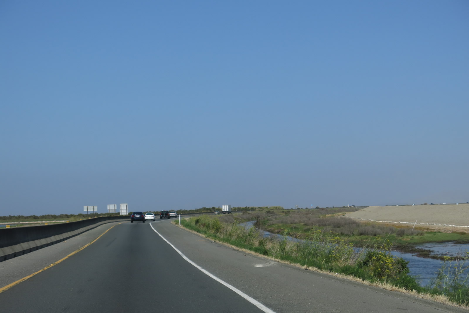
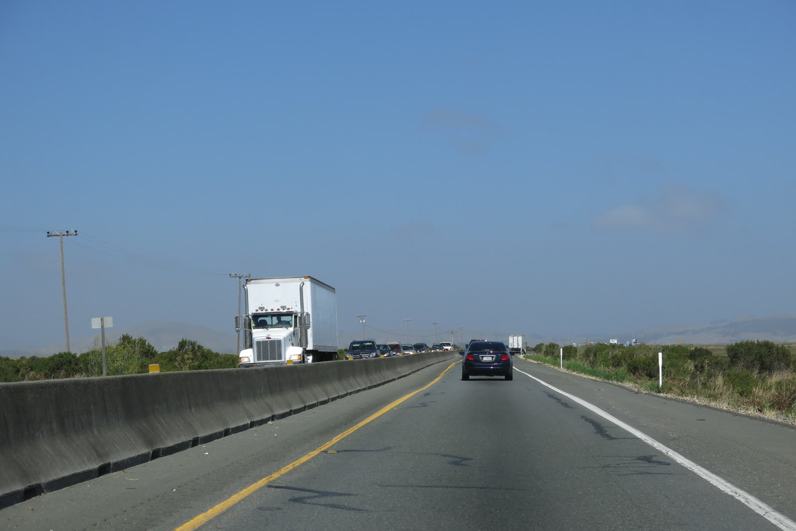
A jersey barrier separates the two directions of traffic as California 37 continues its journey west. The addition of a barrier became necessary due to the number of injuries, accidents, and deaths along this section of highway. Very little development exists along California 37 from here west to U.S. 101. However, as a critical transportation link in the North Bay region between Vallejo and Novato, California 37 is often very busy despite its narrow footprint. Photo taken 07/05/13. |
|
|
|
|
|
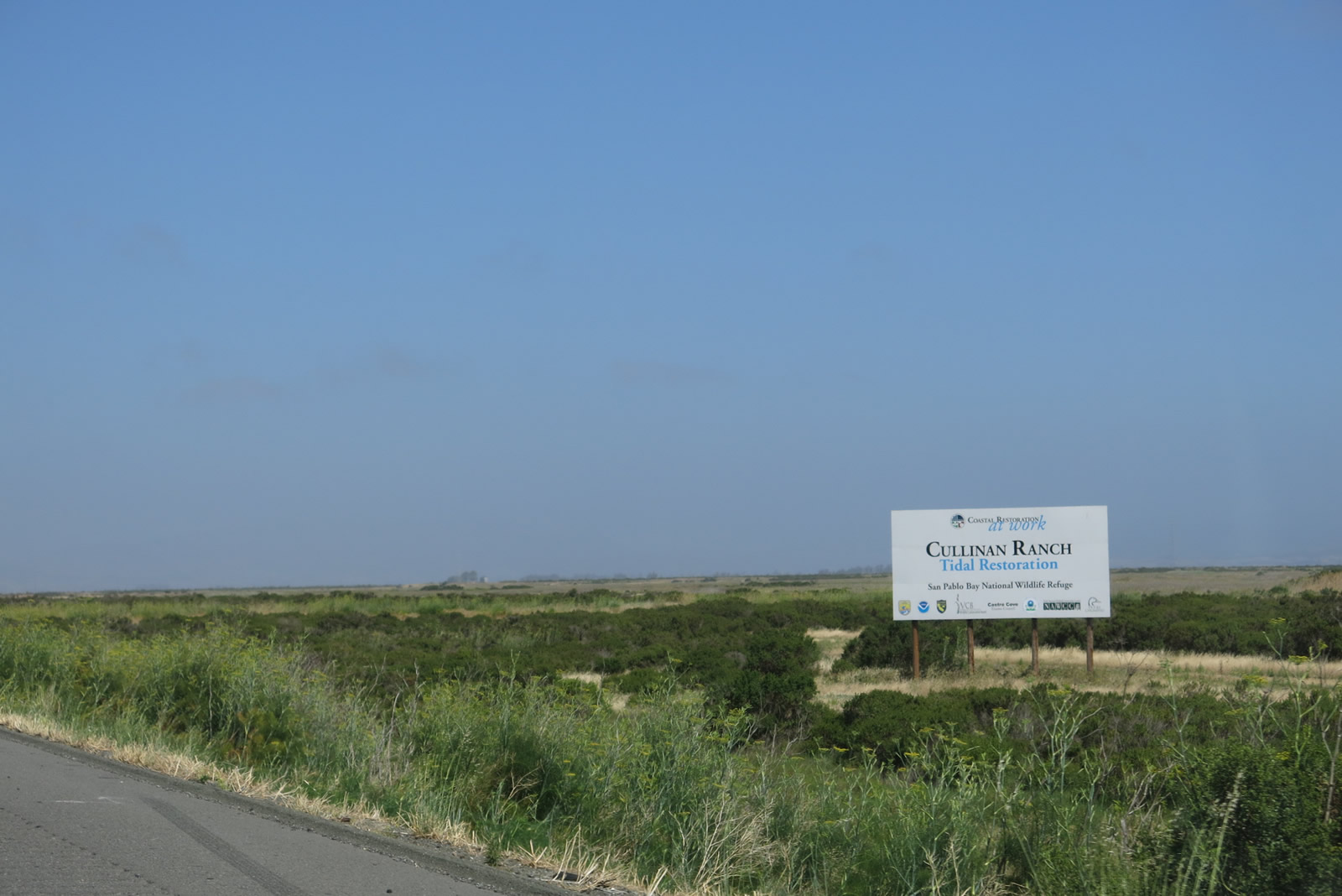
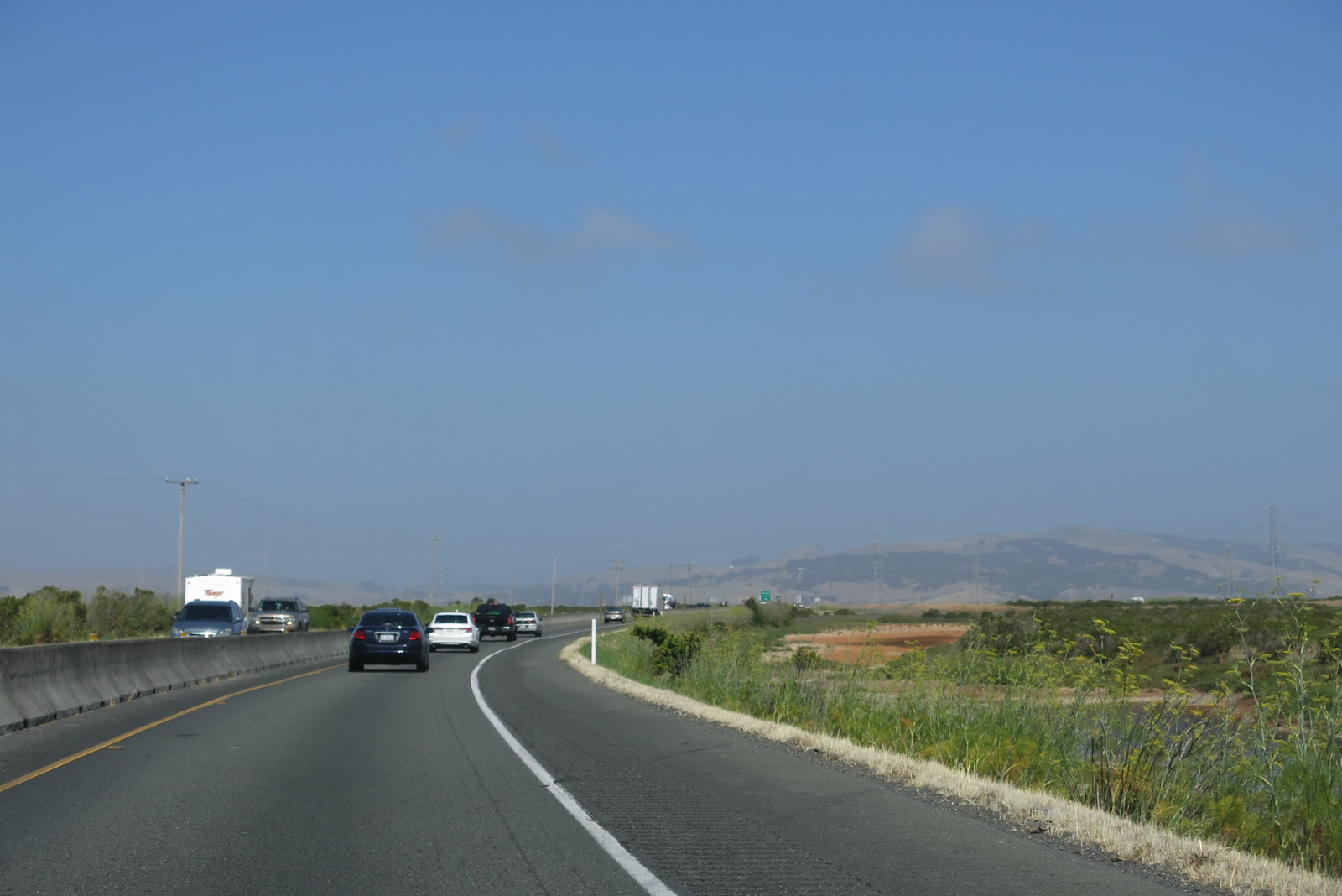
| Standing water can be seen on both sides of the highway, making any improvements to add lanes that much more costly. California 37 remains close to sea level for its route across the northern edge of San Pablo Bay. California 37 enters San Pablo Bay National Wildlife Refuge as it passes through wetlands and crosses several sloughs and channels at the northern edge of San Pablo Bay. Much of the original wetlands and marshes were destroyed by human development, but the refuge features several areas still preserved and others being restored. Photos taken 07/05/13 and 05/25/06. |
|
|
|
|
|
|
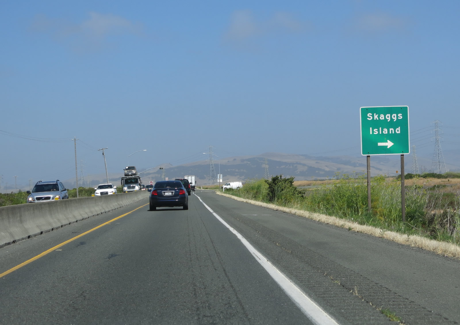
The next turnoff is for Skaggs Island Road north to Ramal and Merazo. A distance of about five miles elapses between Exit 17 (Mare Island) and the Skaggs Island Road turn off. Photo taken 07/05/13. |
|
Westbound California 37 meets Skaggs Island Road at this intersection. There are no traffic signals controlling access to Skaggs Island Road. Photo taken 07/05/13. |
|
Two Pacific Gas and Electric power line towers follow California 37 west from Skaggs Island Road west to near U.S. 101. This view looks north toward Skaggs Island Road and the nearby power lines. Photo taken 07/05/13. |
|
|
|
|
| This series of pictures of pictures follows California 37 west as it proceeds from Skaggs Island Road toward a Vista Point. The highway remains two lanes with a jersey barrier between the two directions. Pacific Gas and electric power lines continue to follow California 37 through this scenic area. Photos taken 07/05/13. |
|
|
|
|
|
| The next exit along westbound California 37 is a Vista Point of the north end of San Pablo Bay and the unique wetlands that pervade this marshy yet treeless area at the north end of San Pablo Bay. Open water and marshlands dominate the view as California 37 continues west. At the end of this series, westbound California 37 meets the off-ramp to Exit 11, Vista Point. Power lines pass overhead as California 37 continues west. Photos taken 07/05/13. |
|
|
|
|
|
| The Richard "Fresh Air" Jensen Bridge carries California 37 over Sonoma Creek (built 1969, widened 2002 as part of the jersey barrier project). Midway through the span, California 37 leaves Solano County and enters Sonoma County. Sonoma County, like Napa County, is well known for its wineries and grape growing regions. Sonoma Creek drains the Sonoma Valley, which is another famous wine-growing regions in the area. Photos taken 07/05/13 and 05/25/06. |
|
|
|
|
|
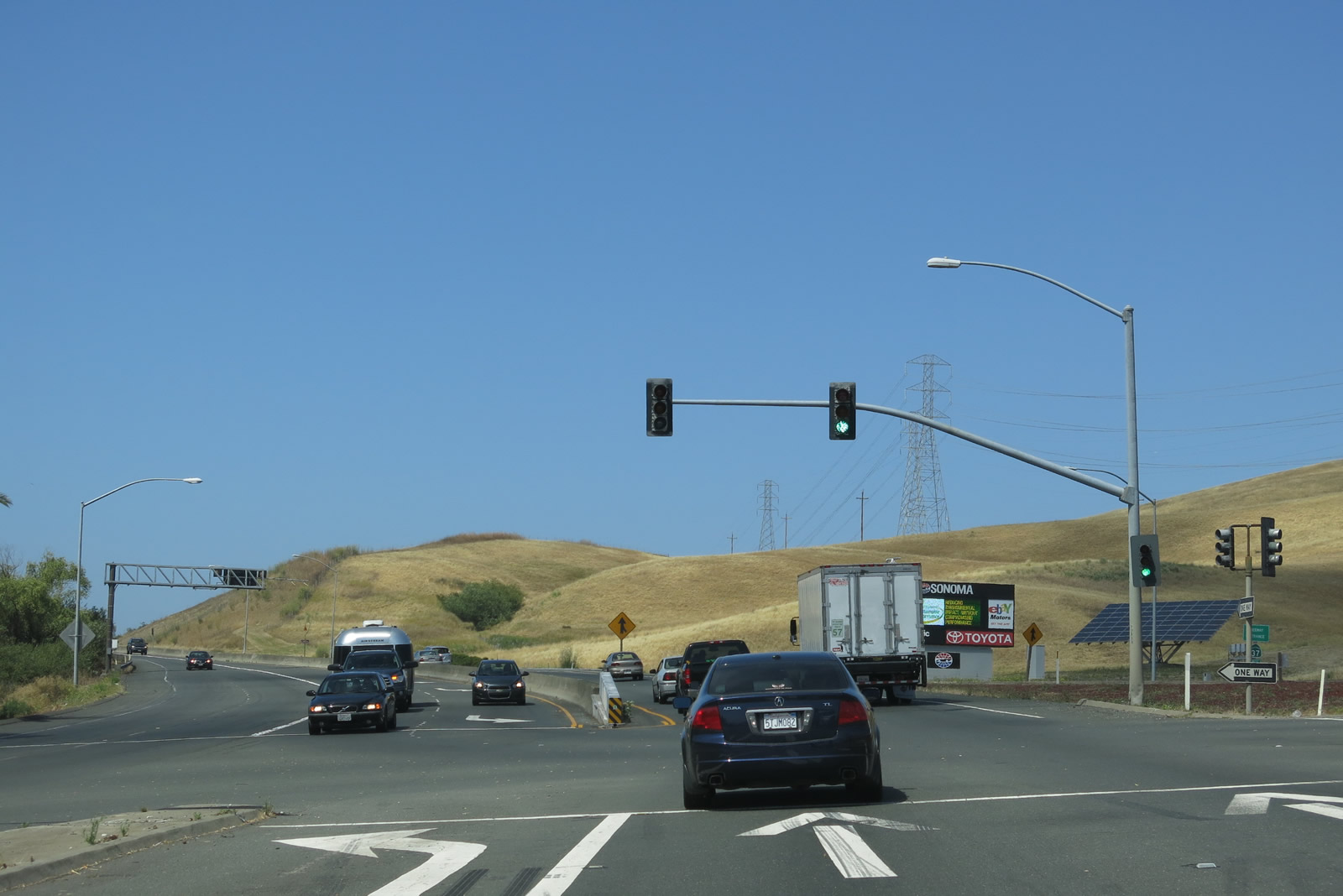
| Two-lane California 37 approaches California 121, a state route that travels north into the Sonoma Valley via the Carneros Highway, then turns east to the city of Napa. A connecting route, California 12, travels northwest into the city of Sonoma and the Valley of the Moon before meeting U.S. 101 in Santa Rosa. North of Napa, California 121 ultimately connects to and ends at California 128 near Lake Berryessa east of Napa Valley. Photos taken 07/05/13 and 05/25/06. |
|
|
|
|
|
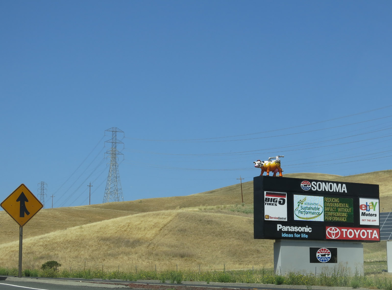
| Nearing the California 121 intersection, a trailblazer for California 121 north is posted at the gore point as California 37 continues west toward Novato and San Rafael. Use California 121 north to the Sears Point (Infineon) Racetrack; a large sign advertising the raceway it posted at the northeastern corner of the intersection. Photos taken 07/05/13 and 05/25/06. |
|
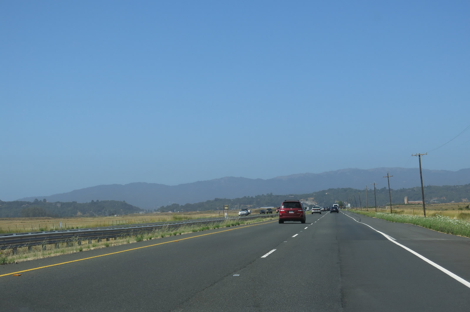
After the California 121 (Carneros Highway) interchange, westbound California 37 makes a brief elevation gain over the southern end of the Sonoma Mountains, then descends into the Petaluma River valley. Photo taken 07/05/13. |
|
A weigh station is one-quarter mile ahead on westbound California 37, which assumes a four-lane expressway configuration for the rest of its route to U.S. 101 in Novato. Photo taken 07/05/13. |
|
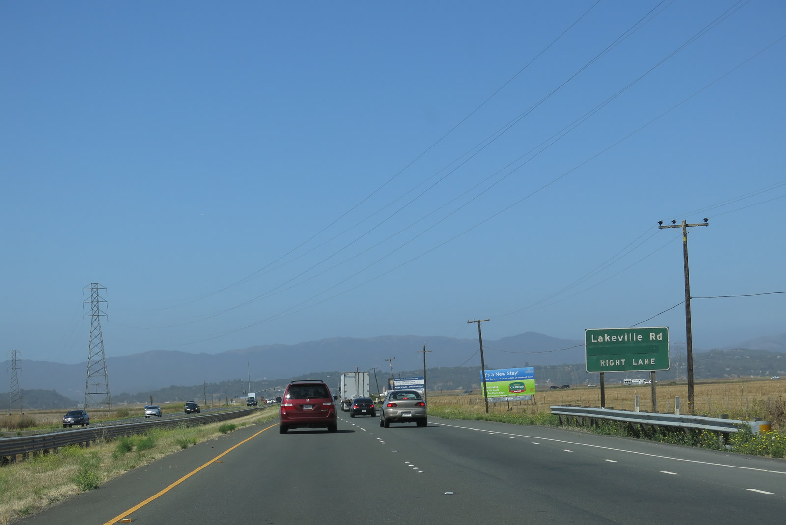
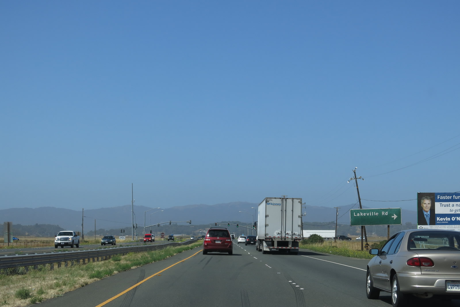
The next intersection is with Lakeville Road. Use Lakeville Road north to California 116 en route to Petaluma and U.S. 101 north. Use Lakeville Road to U.S. 101 north, including the fastest route to Santa Rosa and all points north. Photo taken 07/05/13. |
|
The next right is for Lakeville Road. Full-size freeway signs are used along this expressway segment of California 37. Photo taken 07/05/13. |
|
Westbound California 37 meets Lakeville Road at this traffic signal. Photo taken 07/05/13. |
|
The next major bridge on California 37 is over the Petaluma River, which comes into view as the expressway continues west. The U.S. 101 interchange and Novato lie in the next valley. Photo taken 07/05/13. |
|
Turn left at the next intersection (Railroad Avenue) to a marina located near the mouth of the Petaluma River. Photo taken 07/05/13. |
|
Near Railroad Avenue, two sets of Pacific Gas and Electric power lines converge at one tower. Photo taken 07/05/13. |
|
|
|
|
|
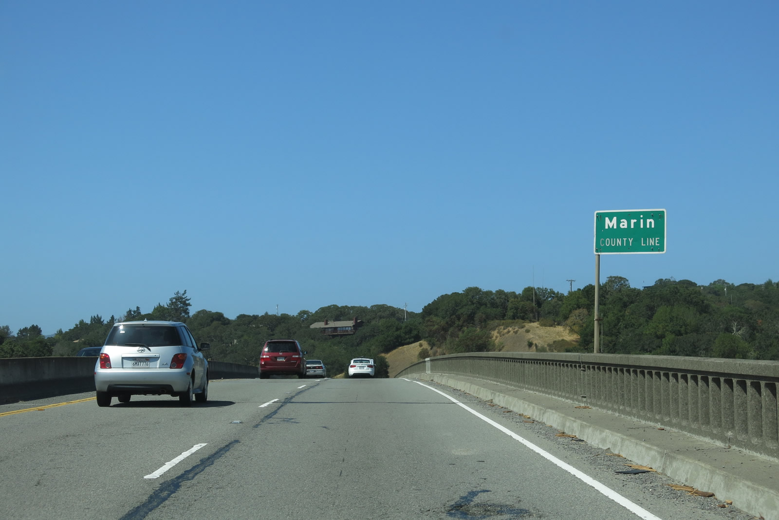
| The Petaluma River bridge was constructed in 1958 and features old-style concrete guardrail. The California 37 expressway proceeds east, leaving Sonoma County at the midpoint of the bridge and entering Marin County. Photos taken 07/05/13 and 05/25/06. |
|
Along with the bridge, this section of California 37 expressway was built in 1958-1959. The next right turn is for Harbor Drive. Photo taken 07/05/13. |
|
The next right turn is for Harbor Drive. Photo taken 07/05/13. |
|
The next off-ramp from California 37 west is Exit 3, Atherton Avenue and Black Point. Photo taken 05/25/06. |
|
Westbound California 37 reaches Exit 3, Atherton Avenue. To the south of the freeway is Stonetree Golf Club. Use Atherton Avenue northwest to northern Novato and to U.S. 101 north. California 37 continues to slide southwest from here toward its ultimate junction with U.S. 101. Photo taken 07/05/13. |
|
At this off-ramp, California 37 enters the city of Novato, which had a population of 47,630 people as of the 2000 Census. Located on the U.S. 101 corridor, Novato is situated near the Marin-Sonoma County Line. While the downtown elevation is 18 feet, Mt. Burdell within the city limits rises to 1,558 feet. The city was incorporated on January 20, 1960, as a general law city. The fact that Novato was incorporated so late is possibly why the overhead signs on westbound California 37 use San Rafael instead of Novato as the control city. Photo taken 07/05/13. |
|
A California 37 west reassurance shield is posted shortly after the on-ramp from Exit 3. Photo taken 07/05/13. |
|
California 37 continues west as an expressway with four lanes. Photo taken 05/25/06. |
|
A Pacific Gas and Electric 230kV monopole power line crosses over the freeway and turns west to follow California 37 from here west to near the U.S. 101 interchange. Photo taken 07/05/13. |
|
These bridges over the Novato Creek were built in 1959. Again, note the older style concrete guardrail. Photo taken 05/25/06. |
|
The final interchange -- which features ramps to Exit 1C, Hanna Ranch Road; Exit 1B, U.S. 101 (Redwood Highway) north; Exit 1A, U.S. 101 south; and Exit 0, South Novato Boulevard -- is just ahead. No trucks over five tons are permitted on South Novato Boulevard. Photo taken 05/25/06. |
|
|
Westbound California 37 reaches Exit 1C, Hanna Ranch Road. This exit provides local access to properties on the east side of the U.S. 101 interchange and allows for a U-turn to eastbound California 37 via Marsh Road. Photos taken 07/05/13 and 05/25/06. |
|
A begin freeway sign is posted at the Hanna Ranch Road interchange. Photo taken 07/05/13. |
|
|
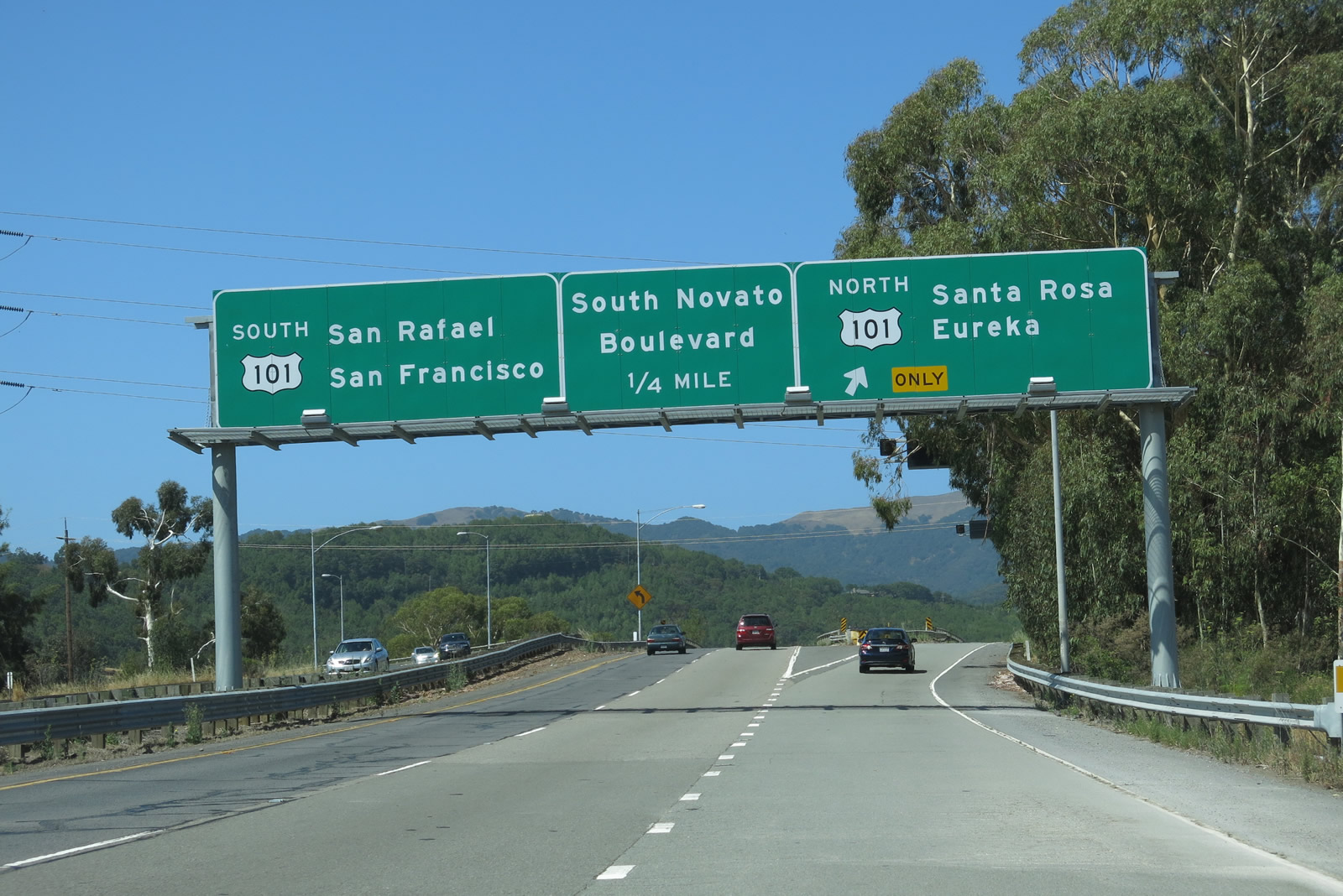
The next exit along westbound California 37 is Exit 1B, U.S. 101 (Redwood Highway) north to Santa Rosa and Eureka. The left two lanes become exit only for Exit 1A, U.S. 101 (Redwood Highway) south to San Rafael and San Francisco, while the middle lane will connect to South Novato Boulevard. Photos taken 07/05/13 and 05/25/06. |
|
|
A single lane transitions from California 37 west to U.S. 101 north. Photos taken 07/05/13. |
|
Back on the mainline, an additional lane is formed for incoming traffic from northbound U.S. 101 to westbound South Novato Boulevard. The left two lanes remain exit only for U.S. 101 south. Photo taken 05/25/06. |
|
California 37 comes to an end as the left two lanes depart toward U.S. 101 south while the right lane exits onto South Novato Boulevard. There is no end shield for California 37. Photo taken 05/25/06. |
Page Updated August 31, 2013.