
California 58 East - Tehachapi to Boron
| California 58 east | |
|---|---|
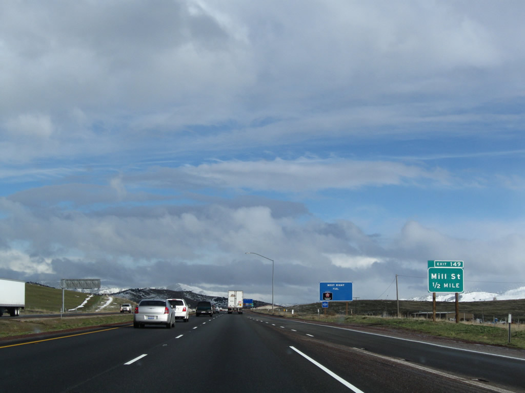 |
On the Tehachapi Bypass, the next exit along eastbound California 58 is Exit 149, Mill Street. Photo taken 02/13/09. |
 |
A California 58 east reassurance shield is posted shortly thereafter. Photo taken 02/13/09. |
 |
Eastbound California 58 meets Exit 149, Mill Street. The city limits of Tehachapi are located at this interchange. Photo taken 02/13/09. |
 |
This mileage sign provides the distance to Mojave (20 miles) and Barstow (90 miles) via California 58 east. Photo taken 02/13/09. |
 |
The next exit along California 58 east is Exit 151, California 58 Business and Historic U.S. 466 (Tehachapi Boulevard). Photo taken 02/13/09. |
 |
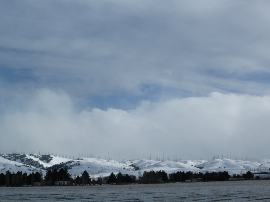
Snow showers blanketed the hills south of the freeway. Photo taken 02/13/09. |
 |
Prior to the off-ramp for Exit 151, California 58 reaches Tehachapi Summit at 4,064 feet. All water on the west side of this pass flows into the San Joaquin (Central) Valley; waters east of the pass flow into the Mojave Desert. Photo taken 02/13/09. |
 |
Eastbounnd California 58 reaches Exit 151, California 58 Business and Historic U.S. 466 (Tehachapi Boulevard) east to Monolith and west to Tehachapi. Photo taken 02/13/09. |
 |
 |
 |
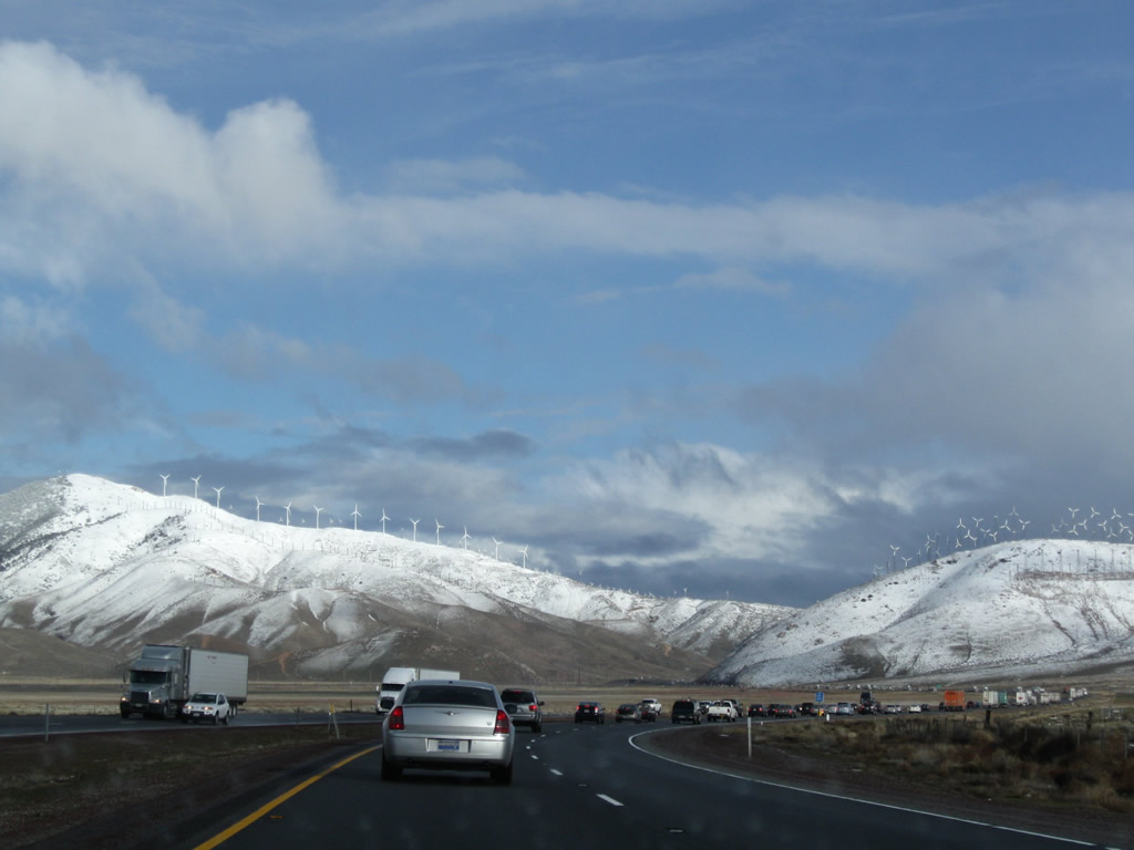
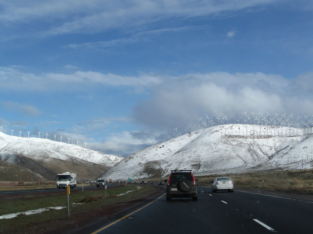
California 58 travels due east between Exits 151 and 156. The snow-covered hills are lined with wind turbines to generate electricity. Photos taken 02/13/09 and 02/15/04. |
 |
 |
 |
|
 |
 |
 |
 |
The next exit along California 58 east is Exit 156, U.S. 466/Sand Canyon Road west to Monolith. Photo taken 02/13/09. |
 |
Even more wind turbines line this snow-covered ridge visible from California 58. Photo taken 02/13/09. |
 |
Eastbound California 58 reaches Exit 156, Sand Canyon Road (old U.S. 466) west to Monolith. Photo taken 02/13/09. |
 |
California 58 continues east through the mountains. Photo taken 02/13/09. |
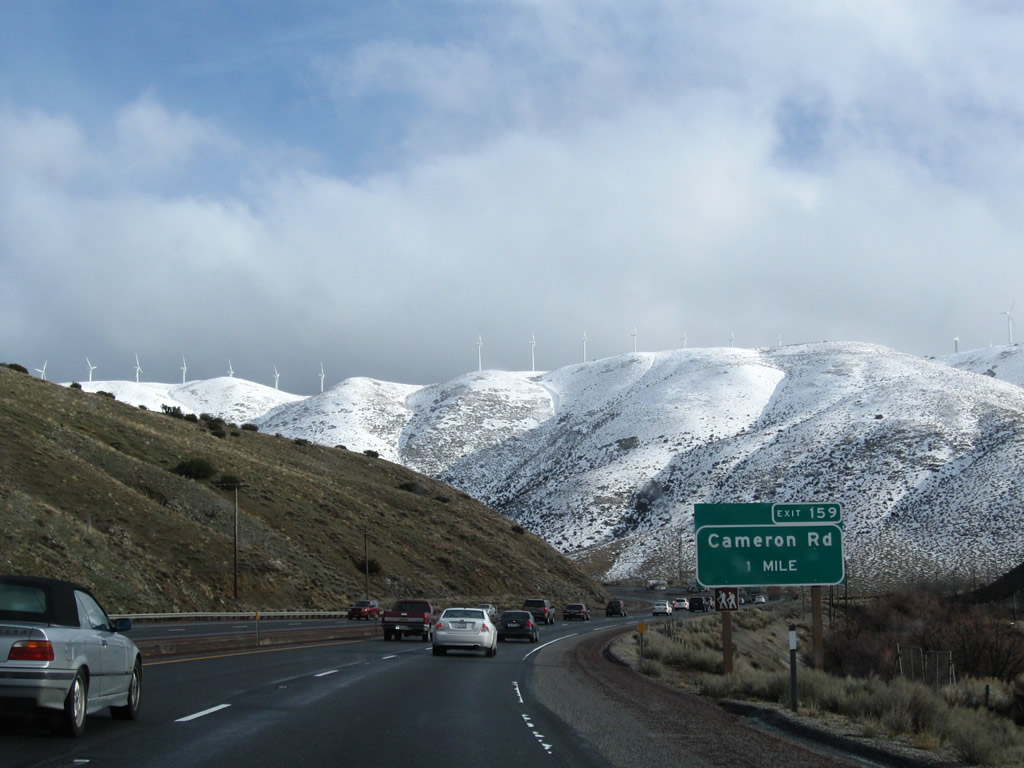 |
The next exit along California 58 east is Exit 159, Cameron Road. Photo taken 02/13/09. |
 |
Bending through another turn, California 58 will soon leave the Tehachapi Mountains and enter the Mojave Desert. Photo taken 02/13/09. |
 |
Eastbound California 58 reaches Exit 159, Cameron Road. Photo taken 02/13/09. |
 |
An exit number is posted for the gore point at Exit 159, Cameron Road. Photo taken 02/13/09. |
 |
After passing through the Cameron Road interchange, the median again becomes a Jersey barrier (K-rail). Photo taken 02/13/09. |
 |
This narrow pass frequently has strong gusts of wind, making travel hazardous for high-profile vehicles. Photo taken 02/13/09. |
 |
Coming into the desert, the freeway again widens out with a sweeping curve. Photo taken 02/13/09. |
 |
Leaving the Tehachapi Mountains, eastbound California 58 approaches the unincorporated community of Mojave. The Mojave Bypass freeway, which opened in September 2003, provides a bypass around Mojave. Because California 14 and California 58 used to meet in downtown Mojave, the area became known as a major bottleneck for both routes due to high traffic volume, a series of traffic signals, and commercial development. The bypass allows travelers on California 58 to continue around the town without having to pass through the urban center. A similar bypass for California 14 might be contemplated but is not likely to be built anytime soon. Photo taken 02/13/09. |
 |
This mileage provides the distance to Exit 165, California 58 Business east to Mojave (one mile) and Exit 167, California 14 (Grand Army of the Republic Highway) (four miles). Photo taken 02/13/09. |
 |
The next exit along California 58 east is Exit 165, California 58 Business east to Mojave. Photo taken 02/13/09. |
 |
Eastbound California 58 reaches Exit 165, California 58 Business east to Mojave. This is also where Old U.S. 466 departs the freeway and heads into Mojave. Photo taken 02/13/09. |
 |
Passing overhead is a major power line corridor (Path 65, Pacific Direct Current Intertie, +/-500kV) that brings electricity south from near The Dalles, Oregon, through western Nevada and the Owens Valley in the Eastern Sierra to Los Angeles. Accompanying it is a line bringing hydroelectricity from the Owens Valley. Photo taken 02/13/09. |
 |
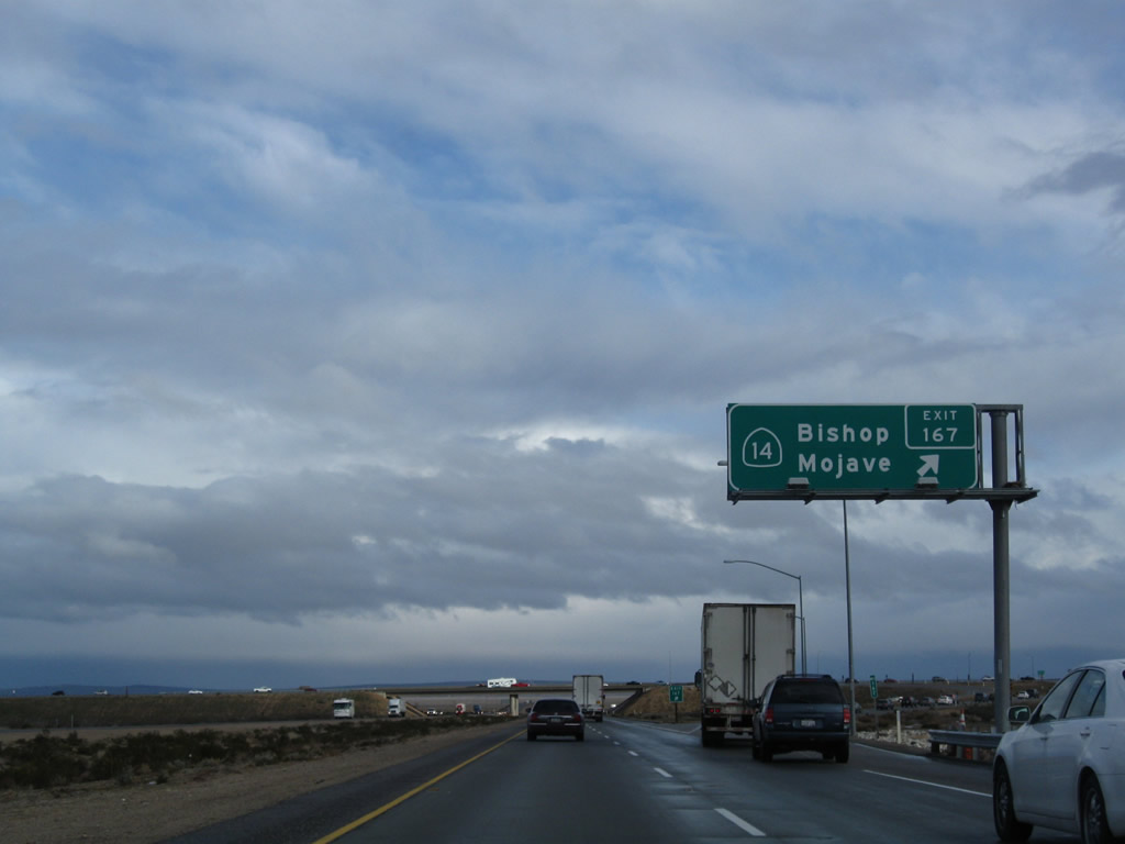
The next exit on California 58 east is Exit 167, California 14 (Sierra Highway). California 14 north (old U.S. 6 east and former California 7) travels northeast to U.S. 395 near Ridgecrest, where it is subsumed by the U.S. route. U.S. 395 in turn serves the Eastern Sierra, passing through the Owens Valley and communities of Olancha, Lone Pine, Independence, and Big Pine before reaching Bishop, where U.S. 395 and U.S. 6 split. U.S. 395 continues north to Mammoth and Reno, while U.S. 6 angles northeast toward Tonopah and Ely, Nevada. Photo taken 02/13/09. |
 |
Like California 58, California 14 / Sierra Highway (Grand Army of the Republic [GAR] Highway) is also a freeway outside of Mojave and is also a former U.S. route. California 58 used to be U.S. 466, and California 14 used to be U.S. 6. Both routes carry a decent amount of traffic, and both are freeways as they approach Mojave from all directions. Upon entering Kern County and reaching the urban limits of Mojave, California 14 becomes a conventional four-lane highway with traffic signals and commercial development. Unlike California 58, California 14 currently does not bypass downtown Mojave; instead it follows the railroad right through downtown Mojave. Nevertheless, plans call for California 14 to bypass Mojave ultimately, and at that time, California 14 would maintain freeway standards from Los Angeles County around Mojave and then north toward U.S. 395 near Ridgecrest. Photo taken 02/13/09. |
 |
Eastbound California 58 (Mojave Bypass) reaches Exit 167, California 14 (Sierra Highway) north to Bishop and south to Mojave and Los Angeles. Photo taken 02/13/09. |
 |
Passing under the California 14 interchange in Mojave, eastbound California 58 (Mojave Bypass) continues as a freeway east toward Boron and Barstow. Between Exits 167 and 172, California 58 turns southeast. Photo taken 09/07/09. |
 |
A California 58 east reassurance shield is posted after the California 14 interchange. Photo taken 09/07/09. |
 |
 |
The next exit along California 58 east is Exit 172, California 58 Business west to Mojave. Photos taken 02/13/09 and 09/07/09. |
 |
At this interchange, the old alignment of U.S. 466 returns to the freeway. The Mojave Bypass, as constructed in 2003, comes to an end just east of this interchange. Photo taken 02/13/09. |
 |
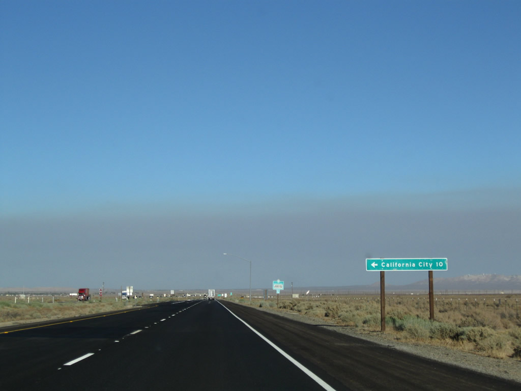
Eastbound California 58 reaches Exit 172, California 58 Business (Mojave-Barstow Highway) west into Mojave. The business loop follows the original alignment of California 58 (and therefore U.S. 466) into Mojave. Photo taken 09/07/09. |
 |
This sign is posted on the off-ramp from California 58 to California 58 Business at the eastern Mojave interchange (Exit 172). Photo taken 02/13/09. |
 |
A California 58 Business trailblazer is posted at the top of the ramp. Turn right here for California 58 Business west to Mojave and all motorist services. Photo taken 02/13/09. |
 |
Eastbound California 58 passes under California 58 Business and turns east again. Photo taken 09/07/09. |
 |
A California 58 east reassurance shield is posted after the California 58 Business east interchange. Photo taken 09/07/09. |
 |
Green mileposts, unusual for California freeways, line the California 58 freeway as it proceeds east through the Mojave Desert. For the next several miles, California 58 is technically an expressway with a few at-grade intersections. The next major intersection is after Milepost 178 in California City. Photo taken 09/07/09. |
 |
Not much has changed in the course of a mile along eastbound California 58. Photo taken 09/07/09. |
 |
California 58 passes through the southern reaches of California City. Home to 8,385 people as of the 2000 Census, California City consists of 203.7 square miles of area and was incorporated in 1965. This huge city was planned by Nat Mendelsohn as a large, master-developed community that would have a park as its centerpiece. Despite its proximity to the Air Force Base and a prison, the planned development never attracted enough people to become what area pioneers intended in the 1950s and 1960s. Remnants of the road grid for this huge, sprawling city remain intact, with some of these numbered streets intersecting California 58. Redevelopment activities are planned for California City to allow for future growth. Photo taken 09/07/09. |
 |
Joshua trees fill out the median and desert along the desolate freeway. Photo taken 09/07/09. |
 |
An at-grade intersection -- which would be Exit 177 if upgraded to a freeway interchange -- serves local traffic and is located within California City. Photo taken 09/07/09. |
 |
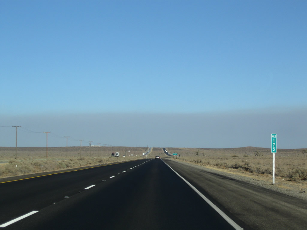
A Mile 178 post is found shortly thereafter. The mileposts will continue to increase. Photo taken 09/07/09. |
 |
This mileage sign provides the distance to Boron (20 miles), Barstow (58 miles), and Needles (211 miles via Interstate 40 east). The distance to Needles attests to the size and scope of the Mojave Desert. Needles sits close to the Colorado River near the California-Arizona state line, and the desert extends all the way to the river and into Arizona. Photo taken 09/07/09. |
 |
Driving a few miles further east, the next major intersection along California 58 east is Exit 184, California City Boulevard to California City. Photo taken 09/07/09. |
 |
Turn left on California City Boulevard to California City. Photo taken 09/07/09. |
 |
The city center is about ten miles north of this intersection. Photo taken 09/07/09. |
 |
A California 58 east reassurance shield is posted shortly thereafter. Photo taken 09/07/09. |
 |
Resuming a freeway alignment, the next exit along California 58 east is Exit 186, Muroc Road (Rosamond Boulevard) to Edwards Air Force Base. This base was popularly known as the alternate landing location for the NASA space shuttle; it is the Air Force Flight Test Center. Photo taken 09/07/09. |
 |
Eastbound California 58 reaches Exit 186, Muroc Road (Rosamond Boulevard) to Edwards Air Force Base. Photo taken 09/07/09. |
 |
The next exit along California 58 east is Exit 188, Clay Mine Road (one mile) to North Edwards. Photo taken 09/07/09. |
 |
North Edwards, an unincorporated community in eastern Kern County, had a population of 1,227 people at the 2000 Census and sits at an elevation of 2,293 feet. The community is located close to the main entrance of Edwards Air Force Base, and some who work on base choose to live in North Edwards. Photo taken 09/07/09. |
 |
Eastbound California 58 meets Exit 188, Clay Mine Road to North Edwards. Photo taken 09/07/09. |
 |
This mileage sign provides the distance to Boron (nine miles), Barstow (49 miles), and Las Vegas (204 miles via Interstate 15 north). Photo taken 09/07/09. |
 |
The next exit along California 58 west is Exit 193, Twenty Mule Team Road (Historic U.S. 466 east to Boron). Use this exit to the old alignment of U.S. 466, which follows California 58 on the south side of the freeway from here east to Boron. Photo taken 09/07/09. |
 |
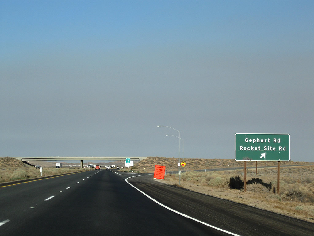
The next exit along California 58 east is Exit 194, Gephart Road (one mile). This sign is posted on the Twenty Mule Team Road overpass. Photo taken 09/07/09. |
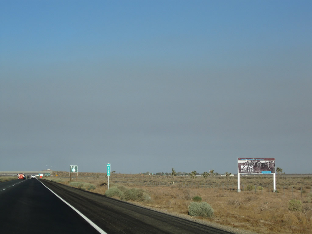 |
Boron is home to the Borax Visitors Center. Photo taken 09/07/09. |
 |
A green guide sign serves as the reassurance shield for California 58 east. Photo taken 09/07/09. |
 |
Eastbound California 58 reaches Exit 194, Gephart Road. Photo taken 09/07/09. |
 |
A California 58 east reassurance shield is posted between Exit 194, Gephart Road and Exit 195, Rest Area. Photo taken 09/07/09. |
 |
The next exit along California 58 east is Exit 195, Rest Area. The rest area was closed temporarily at the time this photo was taken. Photo taken 09/07/09. |
 |
The next exit along California 58 east is Exit 195, Rest Area, followed by Exit 196, Borax Road. Use this exit for the Borax Visitors Center, which is located north of the freeway. Photo taken 09/07/09. |
 |
Eastbound California 58 reaches Exit 195, Rest Area. Photo taken 09/07/09. |
 |
The next exit along California 58 east is Exit 196, California 58 Business (Borax Road) east to Boron. Photo taken 09/07/09. |
 |
Eastbound California 58 reaches Exit 196, California 58 Business (Borax Road) east to Boron. Photo taken 09/07/09. |
 |
California 58 prepares to pass under Borax Road. Photo taken 09/07/09. |
 |
This mileage sign provides the distance along California 58 east to Boron (three miles), Barstow (42 miles), and Needles (195 miles via Interstate 40 east). Photo taken 09/07/09. |
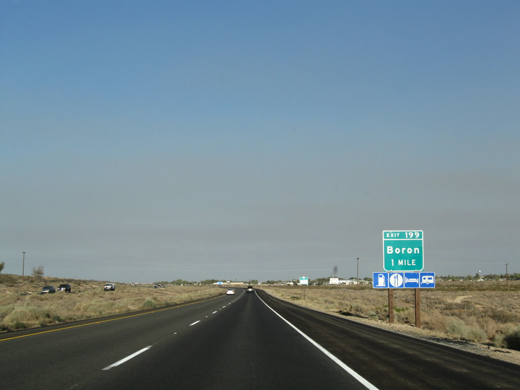 |
The next exit along California 58 east is Exit 199, Boron Road south to Boron. Photo taken 09/07/09. |
 |
Eastbound California 58 reaches Exit 199, Boron Road. California 58 enters the unincorporated community of Boron (population 2,025 people as of the 2000 Census). Boron is perhaps best known for having the largest open pit mine in California; this pit is also the largest borax mine in North America. Borax was first discovered in 1926 and is part of the industry of Boron, and borax is the focus of the Twenty Mule Team Museum in downtown Boron. Photo taken 09/07/09. |
 |
This mileage sign provides the distance along California 58 east to U.S. 395 at Kramers Junction (five miles), Barstow (39 miles), and Las Vegas (194 miles via Interstate 15 north). Photo taken 09/07/09. |
 |
As we approach the Kern-San Bernardino County Line, California 58 sees the temporary end of the four-lane freeway. Although plans call for eventual conversion of the segment of California 58 from Boron to Barstow to become freeway, only a few segments in San Bernardino County meet that standard as of 2010. Photo taken 09/07/09. |
 |
California 58 leaves Kern County and enters San Bernardino County. Photo taken 09/07/09. |

Page Updated August 20, 2010.
|
About Contact Glossary |
In The News Testimonials Interstate Guide |
Social Media:
 |
|
© 2000-23 AARoads.com | All Rights Reserved | Privacy Policy / Terms of Use
|
||