| California 58 east |
|
California 58 leaves Kern County and enters San Bernardino County. Photo taken 09/07/09. |
|
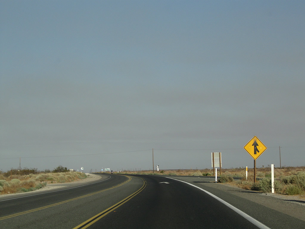
Immediately thereafter, eastbound California 58 reduces from two lanes to one lane. The highway bends a bit to the southeast to realign itself to the original U.S. 466 alignment. Photo taken 09/07/09. |
|
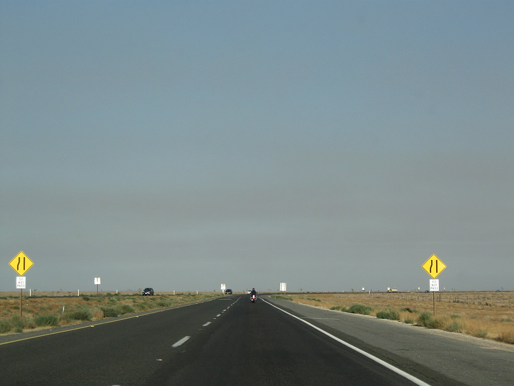
Passing is prohibited between the county line and Kramers Junction. Photo taken 09/07/09. |
|
Significant traffic uses the California 58 corridor between Barstow and Bakersfield. This is most evident on the two-lane stretches of undivided highway such as this one. Photo taken 09/07/09. |
|
Eastbound California 58 approaches the turnoff for California 58 Business (U.S. 466)/Twenty Mule Team Road west to Boron. Photo taken 09/07/09. |
|
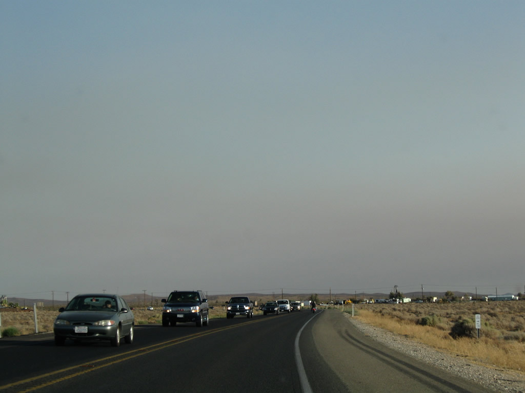
Traffic from Old U.S. 466 and business route 58 merges onto eastbound California 58 east of Boron. Photo taken 09/07/09. |
|
This mileage sign provides the distance along California 58 east to U.S. 395 at Kramers Junction (three miles), Barstow (38 miles), and Las Vegas (193 miles via Interstate 15 north). Photo taken 09/07/09. |
|
|
|
California 58 crosses to the south side of the railroad tracks. Upgrading of California 58 will include elimination of this at-grade railroad crossing. Photos taken 09/07/09. |
|
A BNSF trail barrels westward on a section of track parallel to SR 58. Photo taken 09/07/09. |
|
|
|
A large power substation is located in Kramers Junction. The substation becomes visible to the southeast of the main highway. Kramers Junction lies just ahead. Photos taken 09/07/09. |
|
California 58 enters the unincorporated community of Kramers Junction. Ahead, eastbound California 58 will intersect with U.S. 395 at a traffic signal. U.S. 395 travels north to Bishop and Reno and south to Hesperia and San Bernardino. Photo taken 09/07/09. |
|
Passing under a bevy of power lines, motorist services (gas and food) line both sides of the highway. Photo taken 09/07/09. |
|
Traffic slows down for the pending junction between California 58 and U.S. 395. Photo taken 09/07/09. |
|
|
Eastbound California 58 meets U.S. 395 at this traffic signal. Turn left to follow U.S. 395 north to Bishop and Reno or turn right to follow U.S. 395 south to Hesperia and San Bernardino. Photos taken 11/10/08 and 09/07/09. |
|
Wait times at the traffic signal between California 58 and U.S. 395 can be long during times of heavy traffic on either road. Photo taken 09/07/09. |
|
Skipping ahead to the vicinity of Barstow, this is the last reassurance shield along eastbound California 58 as it approaches its eastern terminus at Interstate 15 (Exit 233B). Photo taken 06/27/09. |
|
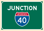
The left three lanes angle toward northbound Interstate 15 (and eastbound Interstate 40), while the right lane exits to southbound Interstate 15 toward the Inland Empire. Photo taken 06/27/09. |
|
To connect with eastbound Interstate 40, follow Interstate 15 north for a couple miles, then turn off at the Interstate 40 east transition ramp. Interstate 40 continues the eastern trajectory of this route, heading toward Needles, Flagstaff, Albuquerque, and Amarillo. The Interstate culminates its journey in Wilmington, North Carolina. Photo taken 06/27/09. |
|
Three westbound lanes carry California 58 toward the junction with Interstate 15 on this early summer's evening. Photo taken 06/27/09. |
|
California 58 ends at it meets its junction with Interstate 15 south to San Bernardino, Riverside, Corona, and San Diego. The left two lanes connect to Interstate 15 north to Barstow, Interstate 40, Baker, Primm, and Las Vegas. Heading south, Interstate 15 leads to the Inland Empire (San Bernardino, Riverside, Corona, Lake Elsinore) and ultimately San Diego. No end shield is present for California 58 east. Photo taken 06/27/09. |
|
|
|
|
|
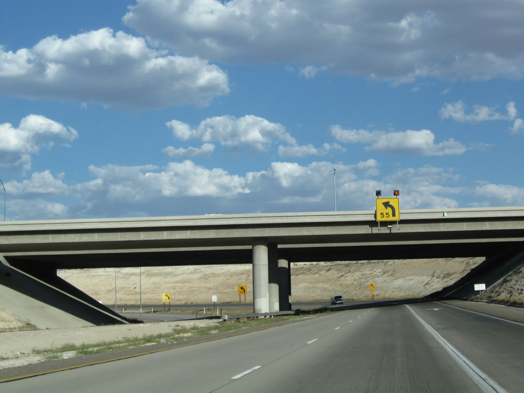
| The interchange between California 58 and Interstate 15 is a trumpet, with a wide, three-lane ramp leading from eastbound California 58 to northbound Interstate 15. The ramp is wide and sweeping enough to accommodate a 55-mile-per-hour advisory speed. The right lane of the ramp is striped as if it were a truck lane, and the overhead sign placement implies that the right lane is presumed to be the best lane for the Interstate 40 connection. However, the right lane ends during the sweeping turn. Photos taken 06/27/09. |
|
Upon joining Interstate 15 north, the next exit will be Exit 181, Business Loop I-15/L Street north to Main Street (Historic U.S. 66-91). The business route serves downtown Barstow. Photo taken 06/27/09. |
|
Nearing the merge point with Interstate 15, the two-lane ramp narrows to one lane. Photo taken 06/27/09. |
|
Traffic from California 58 east merges onto Interstate 15 north. The two-lane ramp narrows to one lane, and that one lane will become exit-only for Exit 181, Business Loop I-15/L Street. Photo taken 06/27/09. |
Page Updated January 12, 2013.