| California 60 - Moreno Valley Freeway east |
|
|
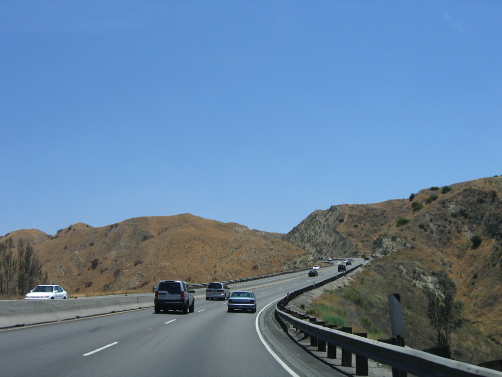
Interstate 215 south and California 60 east split in eastern Riverside and western Moreno Valley. Photos taken 07/15/07 and 06/17/06. |
|
The main lanes and truck lanes unify after the split from Interstate 215. A California 60 east reassurance shield is posted between the split and the off-ramp for Exit 59, Day Street. Photo taken 07/15/07. |
|
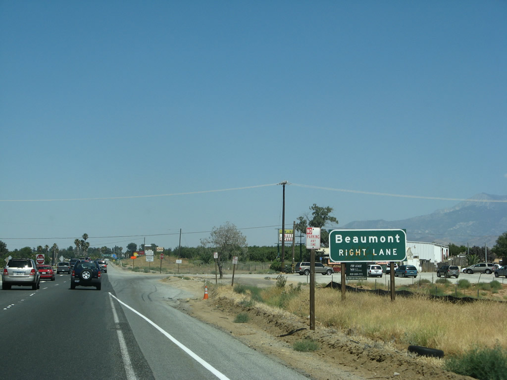
East of Interstate 215, California 60 is known as the Moreno Valley Freeway. Leaving Riverside, serves the sprawling city of Moreno Valley, then passes through the Badlands en route to Beaumont and points east via Interstate 10. Photo taken 07/15/07. |
|
The right two lanes of California 60 (Moreno Valley Freeway) will connect to Exit 59, Day Street. Photo taken 07/15/07. |
|
|
After the split, eastbound California 60 reaches Exit 59, Day Street. For the next several miles, California 60 serves the city of Moreno Valley. Photos taken 07/15/07 and 06/17/06. |
|
|
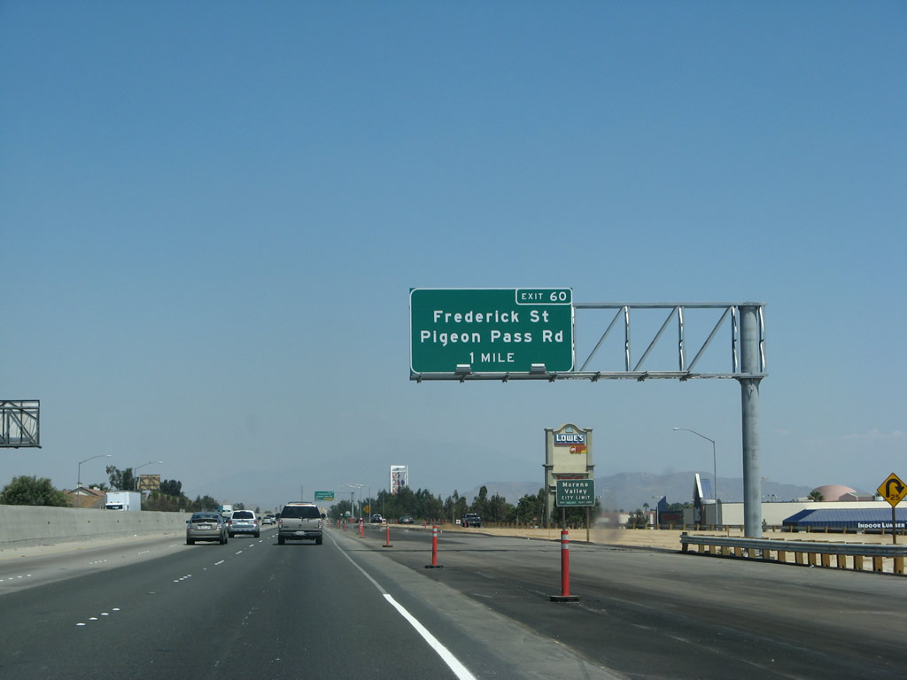
The next exit along California 60 east is Exit 60, California 60 Business/Sunnymead Boulevard, Pigeon Pass Road, and Frederick Street. Construction added new auxiliary lanes. Photos taken 07/15/07 and 06/17/06. |
|
|
The next eight exits all serve the city of Moreno Valley (population 142,381 as of the 2000 Census). The eastern half of the city is known as Rancho Belago (which generally spans from east of Gilman Springs Road to Lasselle Street). Sitting at an elevation of 1,650 feet, Moreno Valley incorporated on December 3, 1984, as a general law city. Photos taken 07/15/07 and 06/17/06. |
|
|
The right two lanes of California 60 east become exit only for Exit 60, California 60 Business/Sunnymead Boulevard, Pigeon Pass Road, and Frederick Street. Moreno Valley is dominated by Box Springs Mountain (with an "M" for "Moreno" on the mountain), and the mountain is located north of the Interstate 215 and California 60 merge. March Air Reserve Base (ARB) is located in this city as well (south via Interstate 215 (Escondido Freeway)); a museum is located on the base, and some cargo flight operations are conducted at this location. Photos taken 07/15/07 and 06/17/06. |
|
Eastbound California 60 (Moreno Valley Freeway) reaches Exit 60, California 60 Business/Sunnymead Boulevard, Pigeon Pass Road, and Frederick Street. Photo taken 07/15/07. |
|
The off-ramp to California 60 Business/Sunnymead Boulevard has three lanes. At the base of the ramp is the intersection with Pigeon Pass Road north and Frederick Street south. Photo taken 07/15/07. |
|
The first California 60 Business route marker is posted on the off-ramp to Exit 60. Proceed straight ahead for California 60 Business/Sunnymead Boulevard east. Photo taken 07/15/07. |
|
This is the only sign indicating that Sunnymead Boulevard begins east after this intersection. Photo taken 07/15/07. |
|
At the end of the long off-ramp, eastbound California 60 Business meets Pigeon Pass Road north and Frederick Street south in Moreno Valley. The business route follows a fairly short old alignment of U.S. 60. Photo taken 07/15/07. |
|
Back on the mainline, the next exit along California 60 east is Exit 61, Heacock Street (0.75 mile). Photo taken 06/17/06. |
|
A roadside exit number sign is posted for Exit 61, Heacock Street. Photo taken 06/17/06. |
|
Eastbound California 60 reaches Exit 61, Heacock Street. Photo taken 06/17/06. |
|
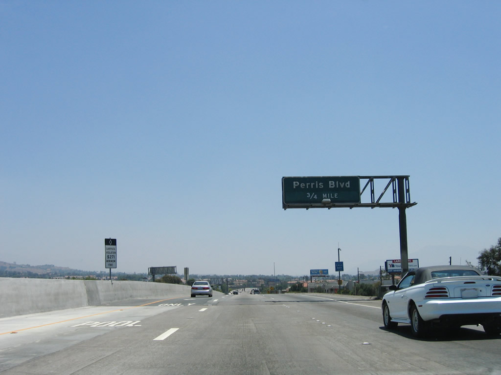
The next exit along California 60 east is Exit 62, Perris Boulevard (0.75 mile). Photo taken 06/17/06. |
|
An overhead guide sign includes the exit number Exit 62, Perris Boulevard. Photo taken 06/17/06. |
|
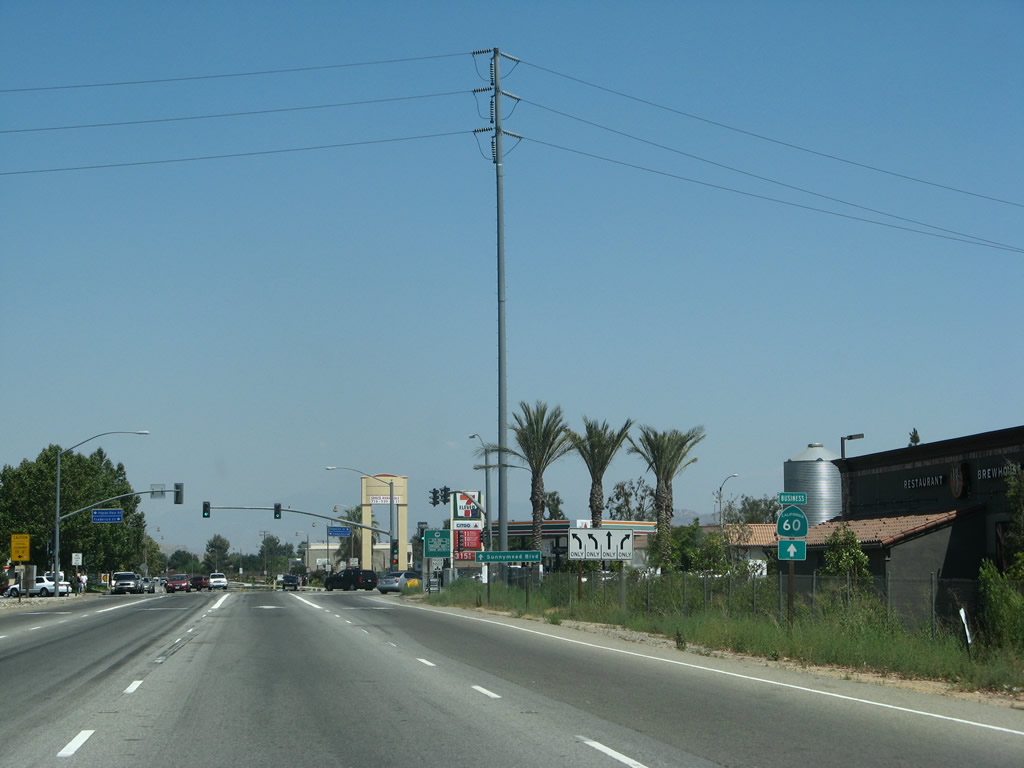
Eastbound California 60 reaches Exit 62, Perris Boulevard. The off-ramp will connect to Sunnymead Boulevard, which is California 60 Business. Upon exiting, turn left on Sunnymead Boulevard to connect to north-south Perris Boulevard. Photo taken 06/17/06. |
|
At the end of the off-ramp to Exit 62 is this California 60 Business trailblazer. The business route travels east for a short distance before Sunnymead Boulevard merges back onto the freeway. Photo taken 07/15/07. |
|
The next exit along California 60 east is Exit 64, Nason Street (1.75 miles). Photo taken 06/17/06. |
|
A roadside guide sign is posted for Exit 64, Nason Street (one mile). Photo taken 07/15/07. |
|
Use the Nason Street exit to Riverside County Medical Center. Photo taken 07/15/07. |
|
Eastbound California 60 reaches Exit 64, Nason Street. Photo taken 07/15/07. |
|
The next exit along California 60 east is Exit 65, Moreno Beach Drive (0.75 mile). Photo taken 06/17/06. |
|
Use Exit 65 (Moreno Beach Drive) to Lake Perris State Recreation Area. Photo taken 06/17/06. |
|
This roadside sign was retrofitted to include an exit tab for Exit 65 (Moreno Beach Drive). Photo taken 06/17/06. |
|
Eastbound California 60 reaches Exit 65, Moreno Beach Drive. Photo taken 07/15/07. |
|
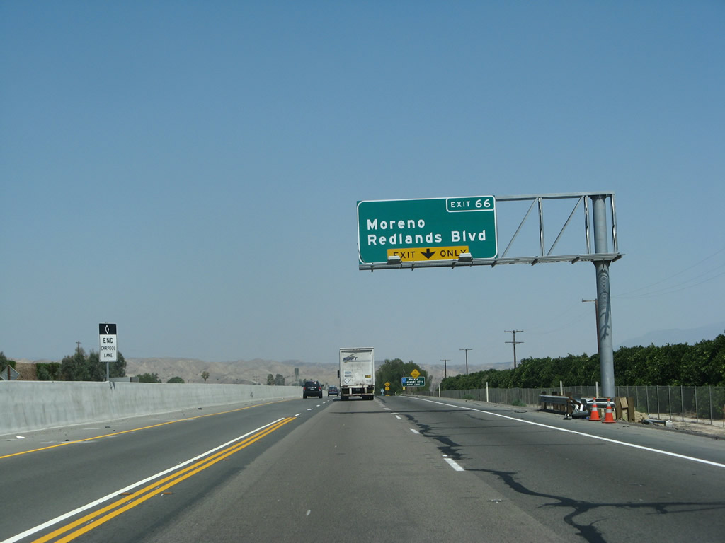
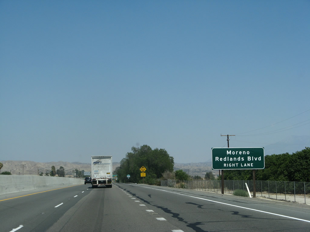
The next exit along California 60 east is Exit 66, Redlands Boulevard (one mile). Photo taken 06/17/06. |
|
The right lane becomes exit only for Exit 66, Redlands Boulevard, while the carpool lane restriction comes to an end. Photo taken 07/15/07. |
|
This roadside sign is posted for Exit 66, Redlands Boulevard. Photo taken 07/15/07. |
|
Eastbound California 60 reaches Exit 66, Redlands Boulevard. Photo taken 06/17/06. |
|
The next exit along California 60 east is Exit 67, Theodore Street (one mile). Photo taken 06/17/06. |
|
Eastbound California 60 (Moreno Valley Freeway) approaches Exit 67, Theodore Street (0.50 mile). Photo taken 07/15/07. |
|
A roadside guide sign includes the exit number for Exit 67, Theodore Street. Photo taken 07/15/07. |
|
Eastbound California 60 reaches Exit 67, Theodore Street. Photo taken 07/15/07. |
|
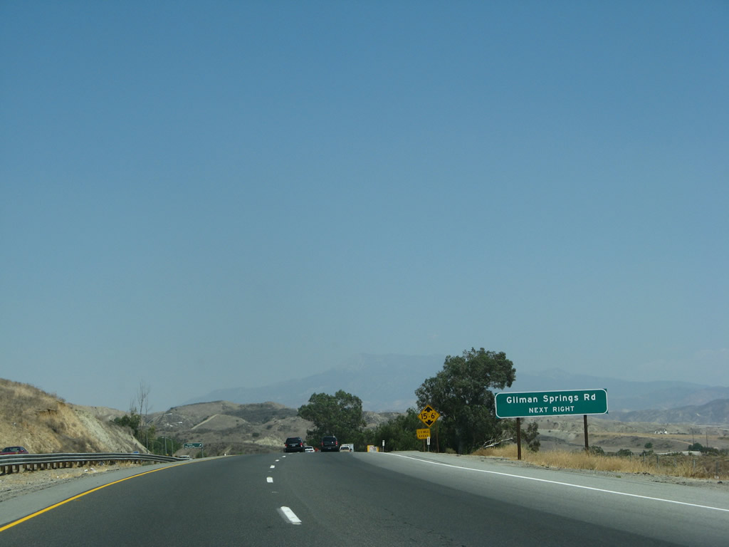
The next exit along California 60 east is Exit 68, Gilman Springs Road (0.75 mile). Photo taken 07/15/07. |
|
Gilman Springs Road travels southeast to meet up with California 79 north of Hemet. Photo taken 07/15/07. |
|
A truck restriction is in place for the section of California 60 expressway between Gilman Springs Road and Interstate 10 in Beaumont. Photo taken 06/17/06. |
|
Eastbound California 60 reaches Exit 68, Gilman Springs Road. Photo taken 07/15/07. |
|
This California 60 east reassurance shield is posted after the on-ramp from Gilman Springs Road. Ahead, California 60 enters the Badlands, which separate Moreno Valley from Beaumont and San Gorgonio Pass. Photo taken 06/17/06. |
|
This mileage sign along California 60 east provides the distance to Beaumont (Interstate 10, eight miles), Banning (14 miles via Interstate 10), and Indio (58 miles via Interstate 10). Photo taken 07/15/07. |
|
|
|
|
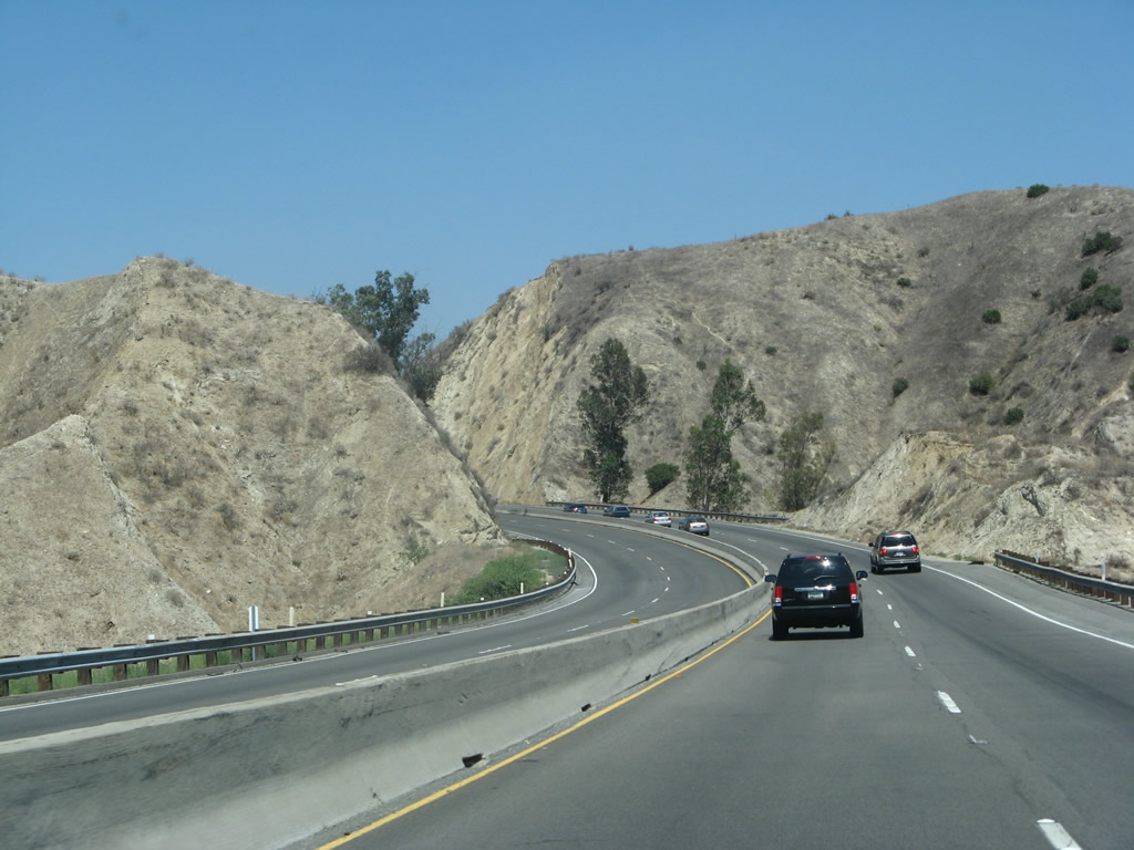
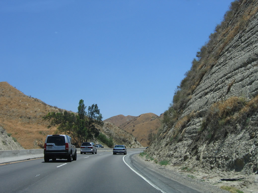
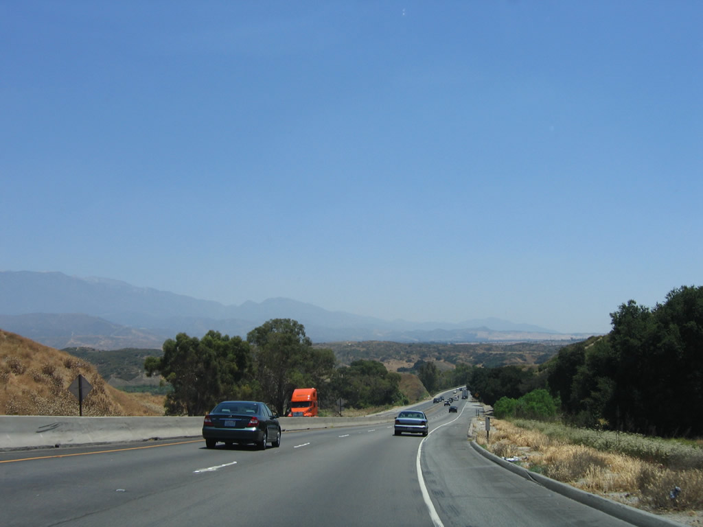
California 60 passes through the Badlands. This series of photos follows the narrow expressway through this sparsely populated area between Moreno Valley and Beaumont. At certain intervals, the median only consists of a jersey barrier (k-rail). Photos taken 06/17/06 and 07/15/07. |
|
|
|
|
|
|
|
|
|
|
|
|
|
|
|
Eastbound California 60 reaches Exit 74, Jackrabbit Trail. No advance guide signs indicate the name or exit number for Exit 74; in fact, this is really an at-grade intersection with a long off-ramp to allow for deceleration before turning. Photos taken 07/15/07. |
|
|
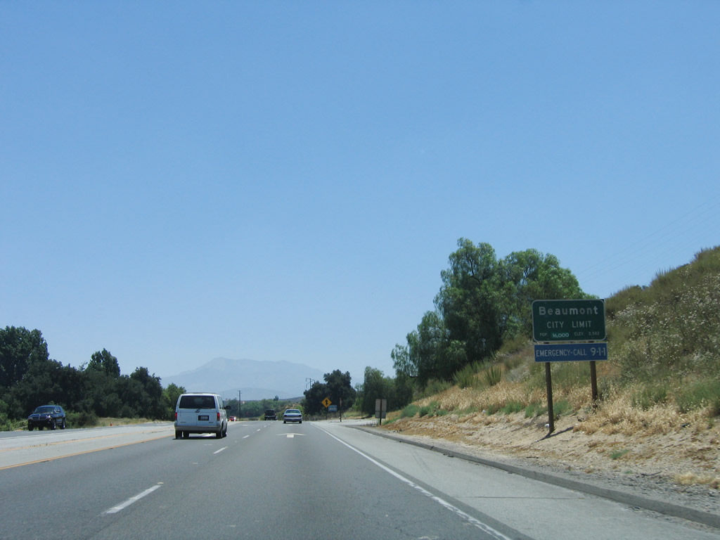
California 60 enters the city of Beaumont (population 11,384 as of 2000 Census; incorporated on November 18, 1912). At Beaumont, California 60 will meet Interstate 10; this is the historic junction point for U.S. 60 to join U.S. 70-99 for the journey southeast toward Indio and the Coachella Valley. Photos taken 07/15/07 and 06/17/06. |
|
The final two miles of California 60 (after Exit 74, Jackrabbit Trail) is an expressway with cross traffic at Jackrabbit Trail and Western Knolls Avenue (two intersections). Photo taken 07/15/07. |
|
Truck lane restrictions (needed for the journey through the Badlands) come to an end. Photo taken 07/15/07. |
|
An at-grade intersection with Western Knolls Avenue introduces cross traffic to a highway that has been a freeway since leaving East Los Angeles. Photo taken 07/15/07. |
|
|
The final exits from California 60 are Exit 76A, Sixth Street (old U.S. 60-70-99) east into downtown Beaumont and Exit 76B, Interstate 10 east to Indio and Phoenix. There is no access to Interstate 10 west. Photos taken 07/15/07 and 06/17/06. |
|
Eastbound California 60 approaches the main intersection with Western Knolls Avenue. Photo taken 07/15/07. |
|
Traffic for Exit 76A to Sixth Street should stay right. Sixth Street is the old alignment of U.S. 60-70-99; the three routes joined at the west end of Beaumont and proceeded east through town toward Banning and points east. U.S. 99 diverged from U.S. 60-70 in Indio for its final run south to the Imperial Valley, Brawley, El Centro, and the international border at Calexico. U.S. 60-70 generally paralleled Interstate 10 east into Arizona. Photo taken 07/15/07. |
|
The freeway again resumes after the Western Knolls Avenue intersection. Photo taken 07/15/07. |
|
Stay left for the connection from California 60 (Former U.S. 60) to Interstate 10 east. Stay right for the old alignment of U.S. 60-70-99 east. Photo taken 07/15/07. |
|
Eastbound California 60 reaches Exit 76A, Sixth Street (old U.S. 60-70-99) east into downtown Beaumont. Photo taken 07/15/07. |
|
|
The main lanes of California 60 east will directly merge onto Interstate 10 east. The next exit is Exit 94, California 79 (Beaumont Avenue) south and Beaumont Avenue north. Photos taken 06/17/06 and 07/15/07. |
|
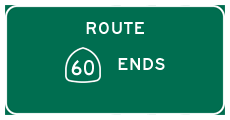
Traffic from Interstate 10 east merges with California 60 east from the left. There is no end shield posted for the eastern terminus of California 60. Interstate 10 continues east toward Palm Springs, Indio, and Phoenix. Photo taken 06/17/06. |
Page Updated April 17, 2011.