| California 70 west |
|
California 70 begins at the diamond interchange (Exit 8) with U.S. 395 at Hallelujah Junction. Pictured here is California 70 westbound at the southbound on-ramp to U.S. 395 for Reno, Nevada. A local road (Larder Way) ties into the interchange from the east. Photo taken 09/09/05. |
|
The first California 70 westbound reassurance marker, posted as the highway departs U.S. 395 on the six-mile drive to Chilcoot and California 284. Photo taken 09/09/05. |
|
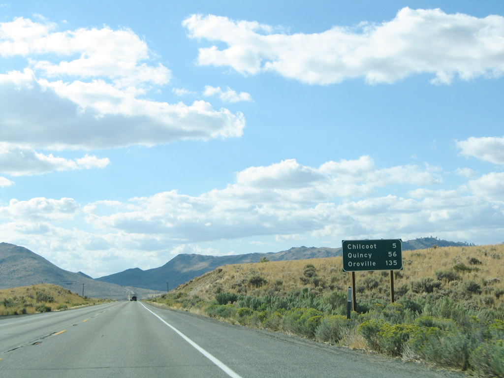
A California 70 mileage sign listing the distances to Chilcoot, Quincy, and Oroville. The state route meets the northern terminus of California 49 seven miles to the west at Vinton. California 49 travels southwest to Loyalton and Sierraville. Photo taken 09/09/05. |
|
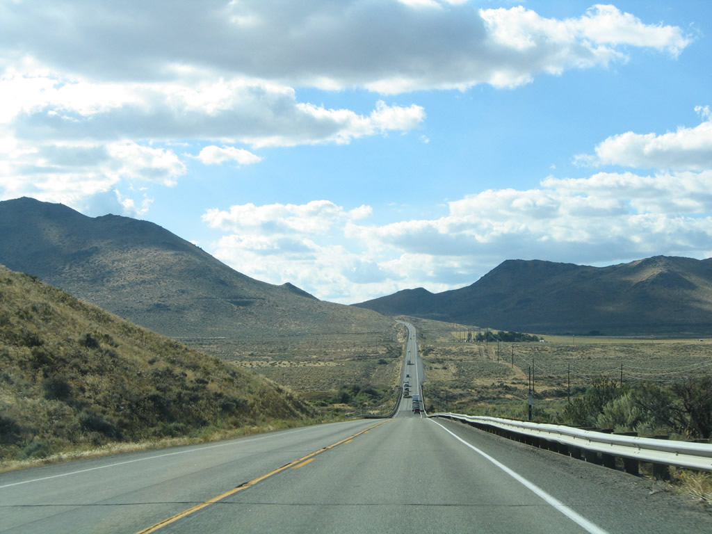
California 70 rises to 5,212 feet over Beckwourth Pass between Hallelujah Junction and Reno Junction. A railroad line passes underneath the highway on the incline. Photo taken 09/09/05. |
|
The state route enters Plumas County at Beckwourth Pass. California 70 reaches the southern terminus of California 284 1.5 miles west of the county line at Chilcoot. Photo taken 09/09/05. |
| California 70 west & 89 north |
|---|
|
California 70 west and California 89 north make a curve near the Keddie Wye, a unique railroad feature visible to the east of the state route. Photo taken 09/04/10. |
|
|
|
|
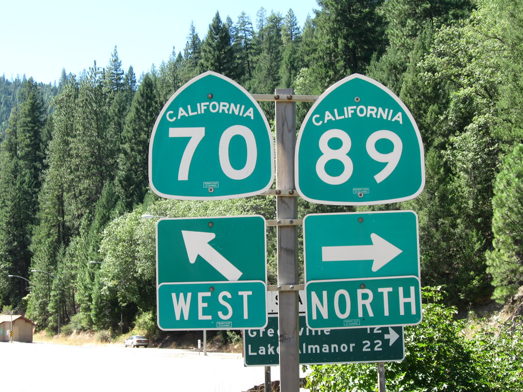
| California 70 and California 89 prepare to split. California 70 will proceed west through the Feather River Canyon toward Oroville. California 89 will turn northwest toward Greenville and Lake Almanor. A rather unique, button-copy arrow sign for California 89 north is posted here; we've not found many others like this in the Golden State. After crossing Indian Creek, the two routes divide. Photos taken 09/04/10. |
|
|
|
|
| Turn right for California 89 north or continue straight ahead for California 70 west. A major north-south state route serving the northern Sierra Nevada, California 89 travels north to Greenville, Lake Almanor, Chester, Lassen Volcanic National Park, and Mt. Shasta City, where it meets Interstate 5 (its northern terminus). Photos taken 09/04/10. |
| California 70 west |
|---|
|
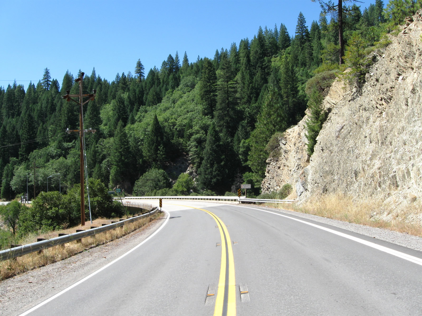
After the California 89 intersection, a California 70 west reassurance shield is posted near the inspection station. Ahead, California 70 plunges into the scenic Feather River Canyon. Photo taken 09/04/10. |
|
|
|
|
|
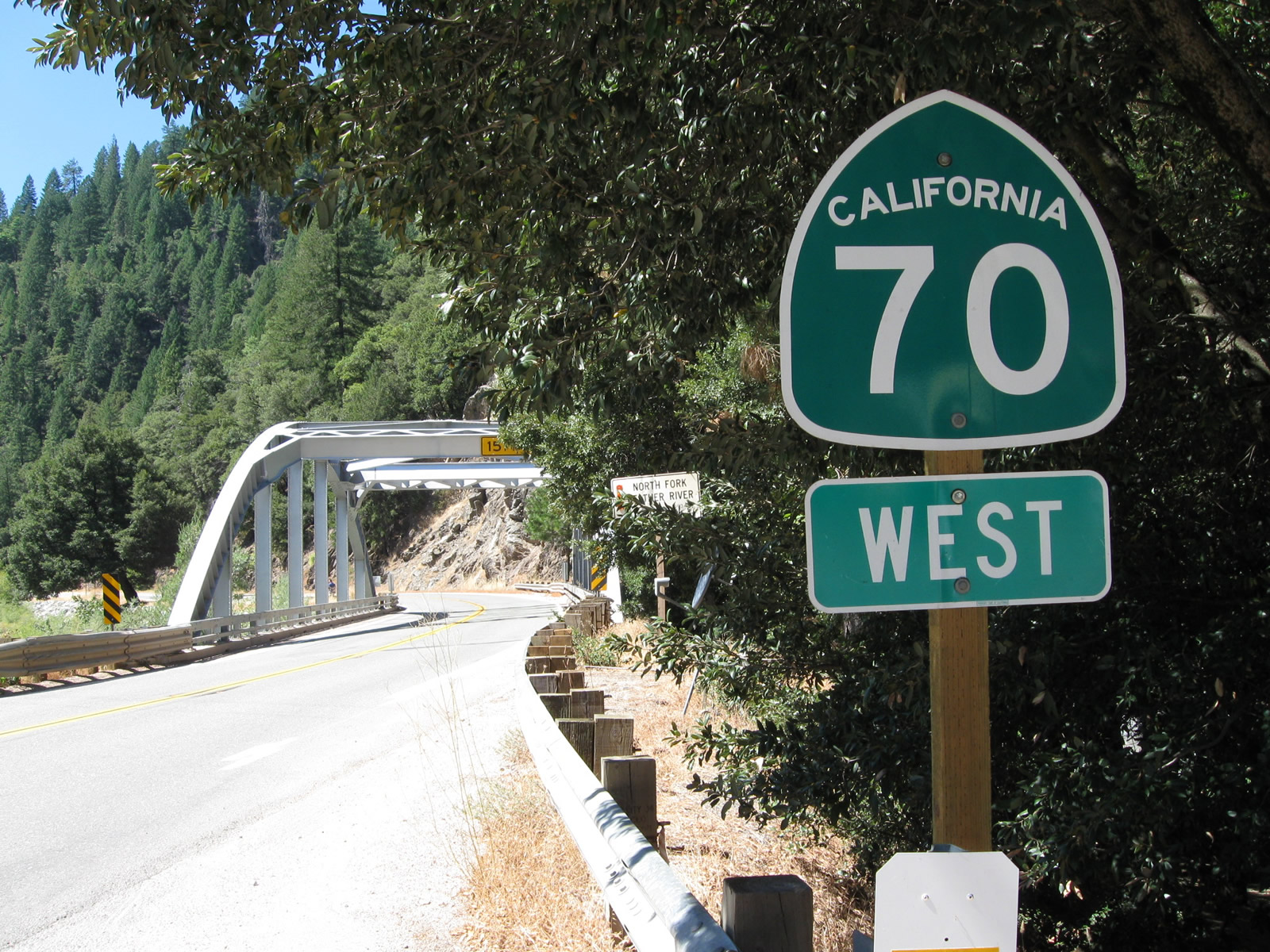
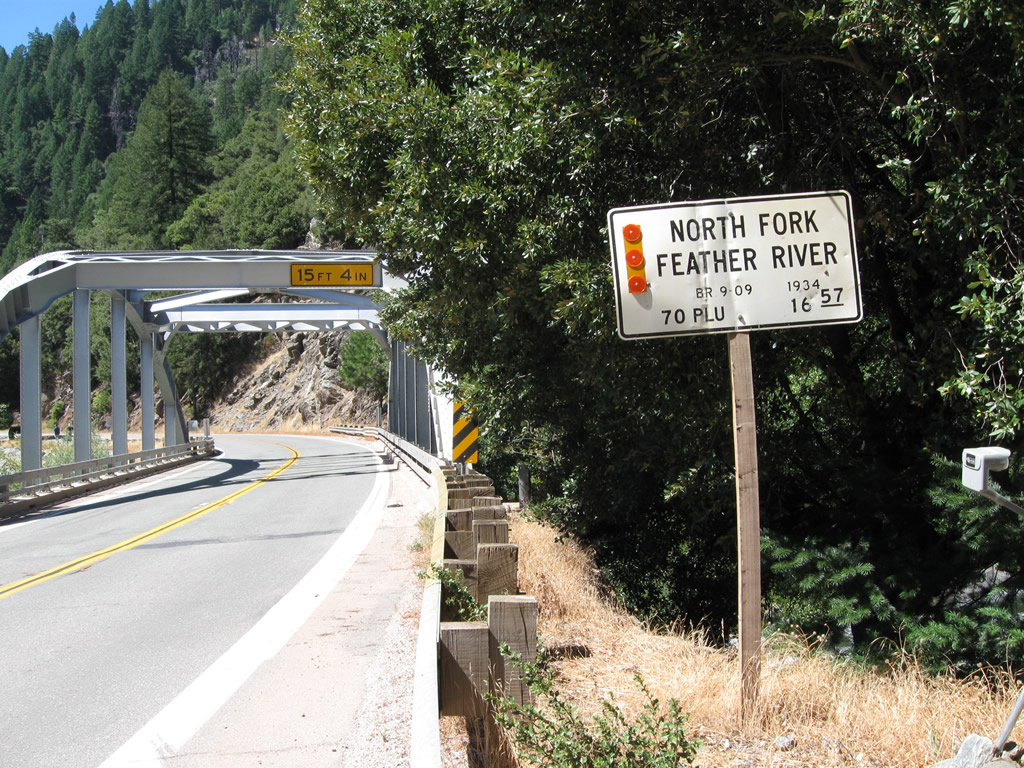
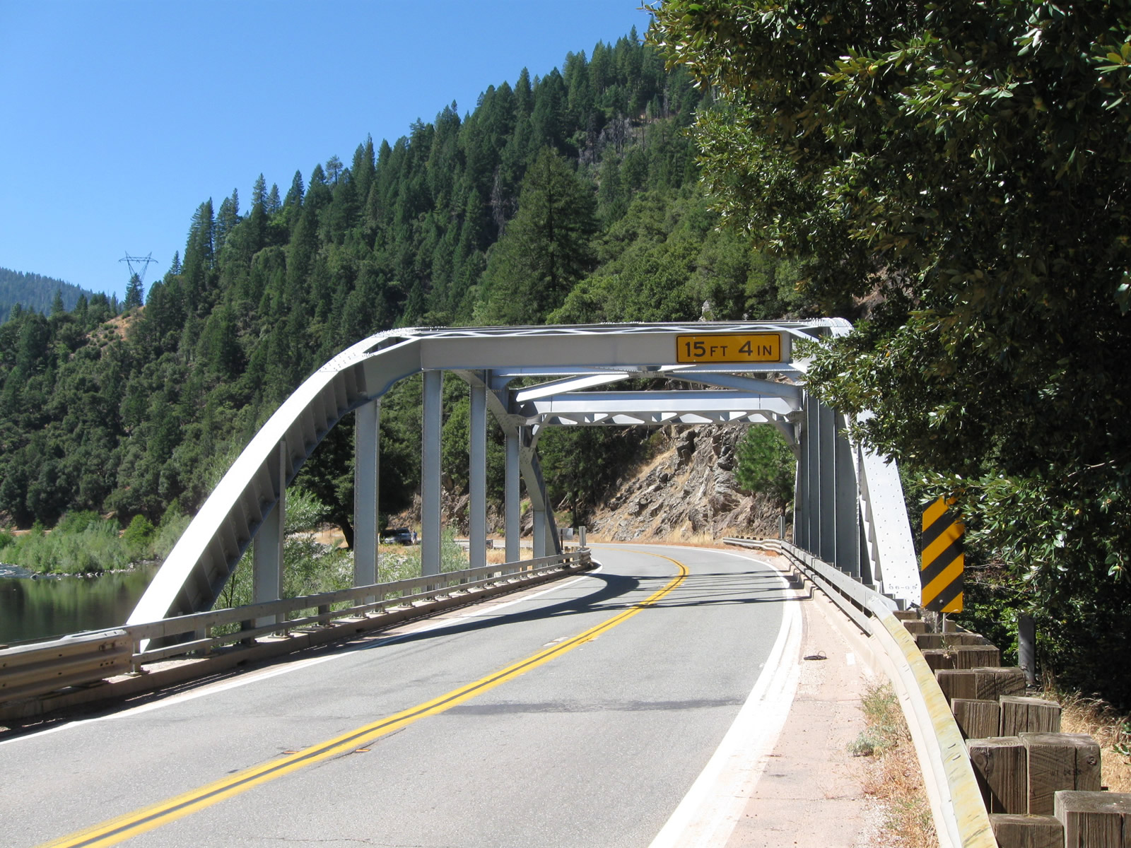
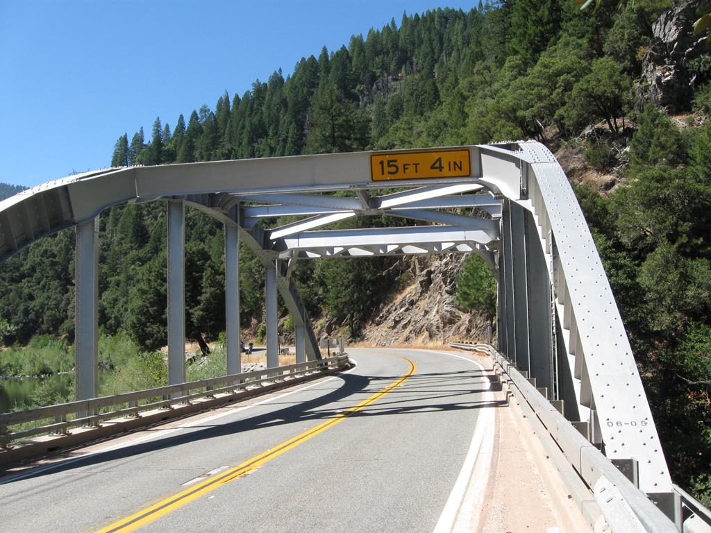
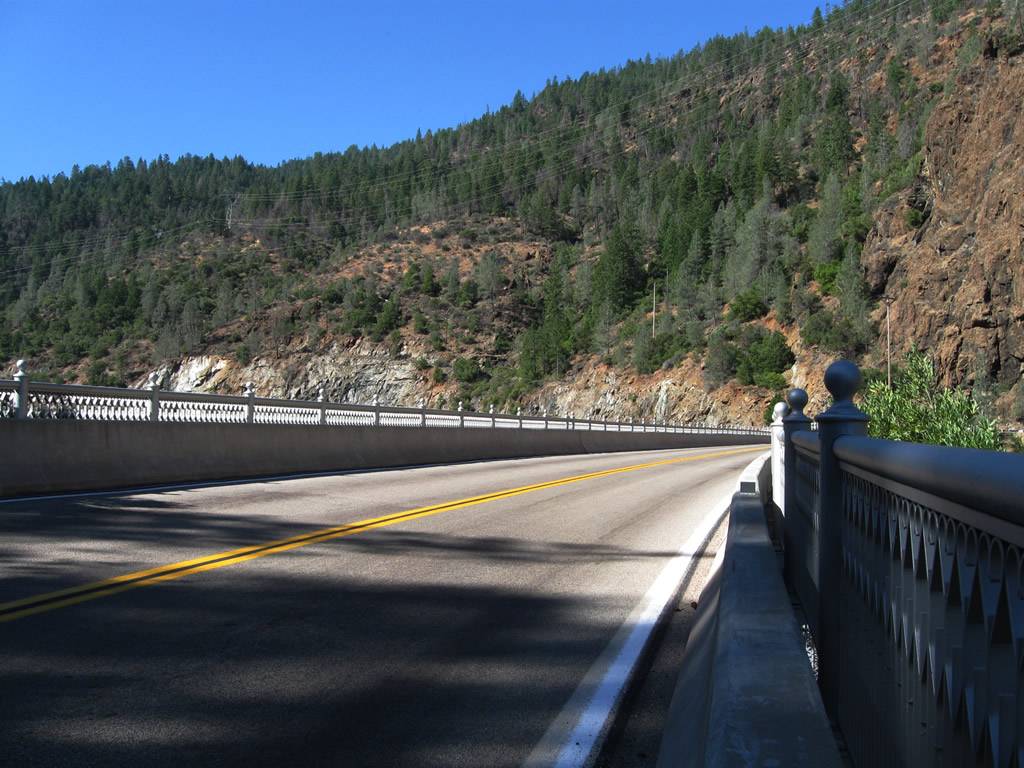
| Continuing a bit further west, this California 70 reassurance shield is posted along westbound after the Caribou Road intersection and prior to crossing Howell's Bridge, which was built in 1934. This bridge carries California 70 over the North Fork of the Feather River; from here, California 70 will follow the North Fork west and then southwest toward Oroville. Photos taken 09/04/10. |
|
|
|
|
|
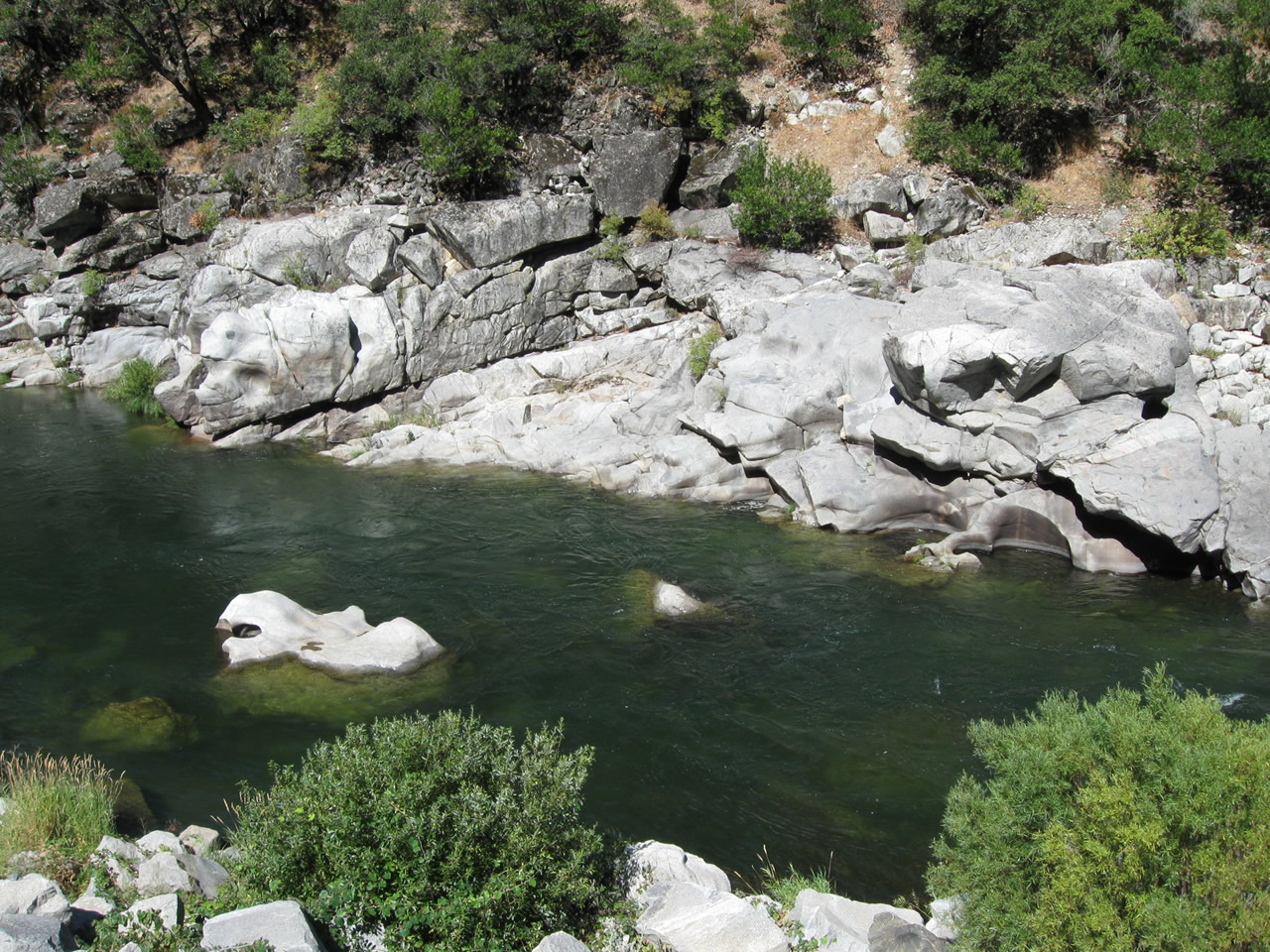
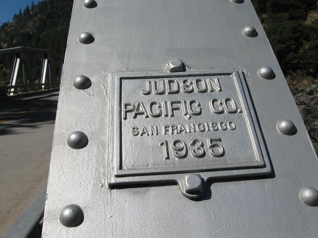
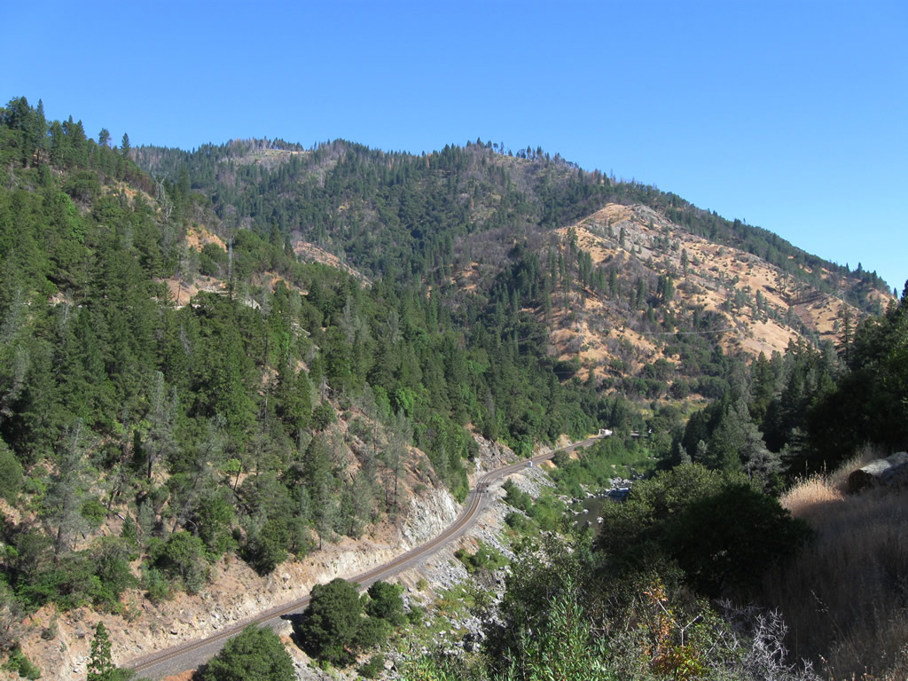
| Skipping ahead a bit, this series of pictures follows California 70 west as it crosses the Storrie Bridge. This pony truss bridge, which was built as part of the larger Feather River Highway project, finished construction in 1936 and was fully opened as part of the overall highway route on August 14, 1937. The truss structure was fabricated a year earlier, in 1935, per a date stamp imprinted on the structure. Photos taken 09/04/10. |
|
|
|
|
|
|
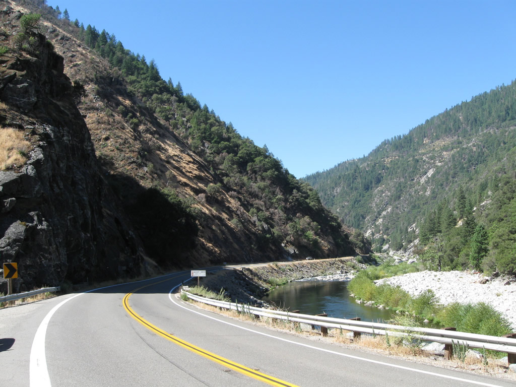
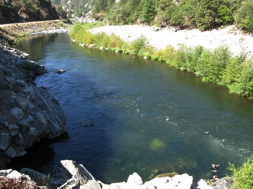
This view is afforded along westbound California 70 after leaving the Grizzly Dome Tunnel in Feather River Canyon. The highway stays on the south bank of the river. Photo taken 09/04/10. |
|
|
|
|
|
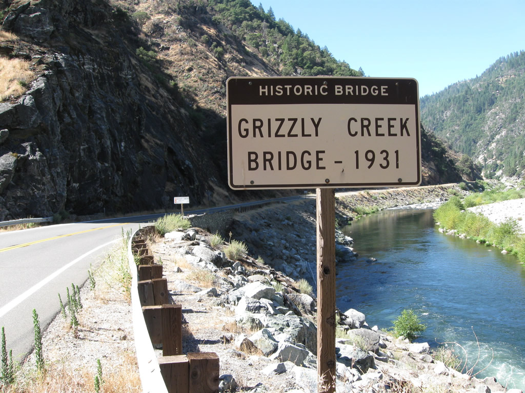
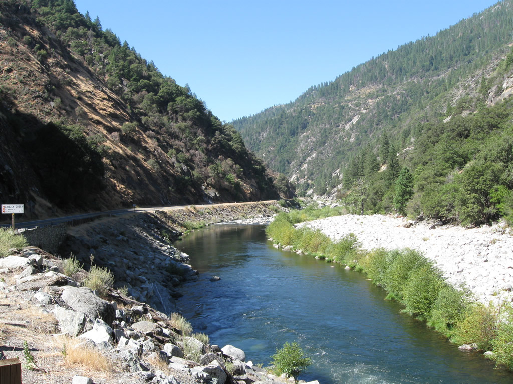
| Immediately after exiting the tunnel, California 70 crosses over the Grizzly Creek Bridge, which was built in 1931 (five years before the adjacent tunnel was completed in 1936). Photos taken 09/04/10. |
|
|
|
|
|
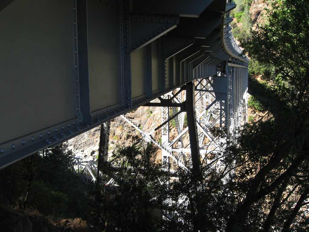
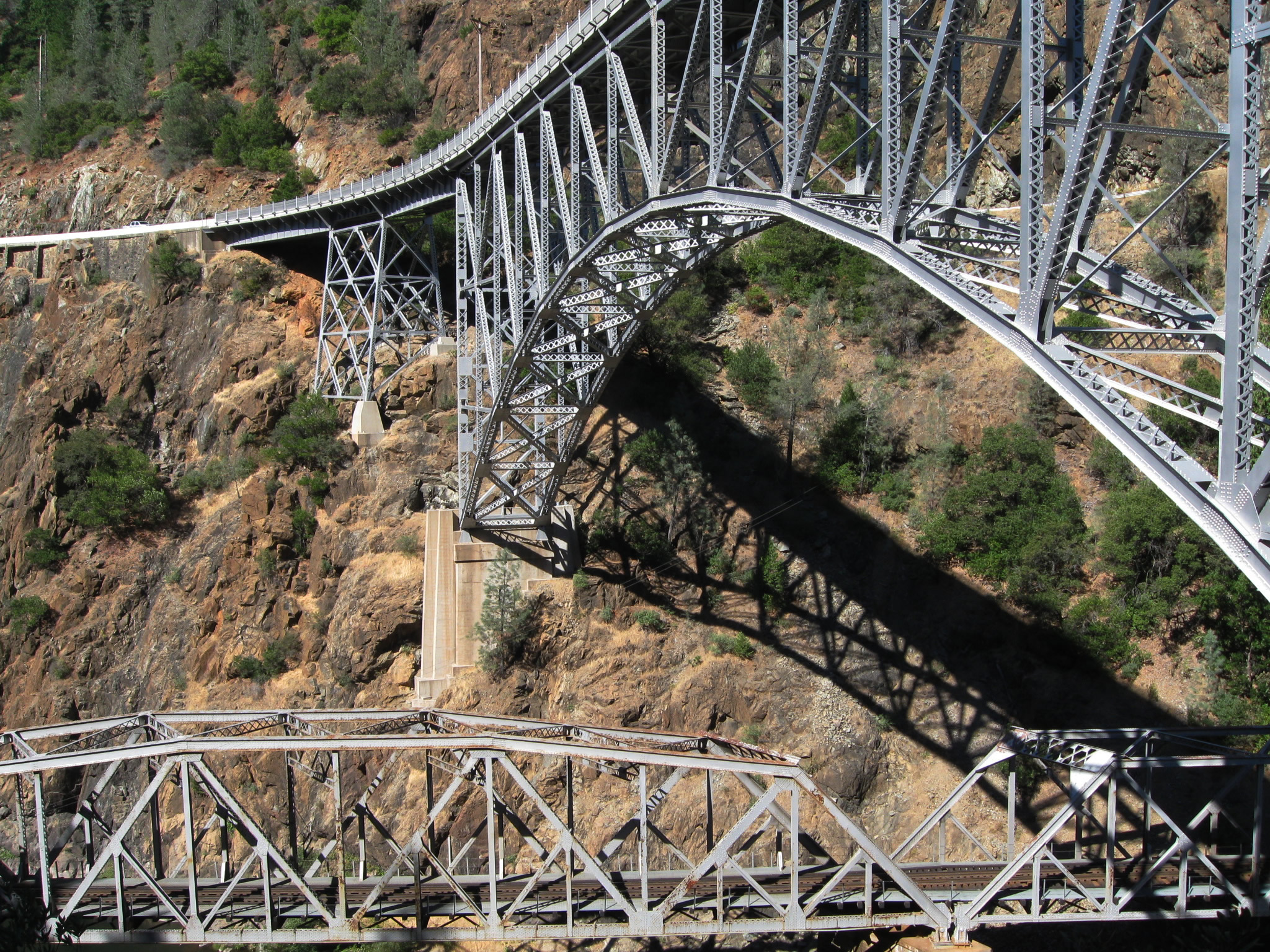
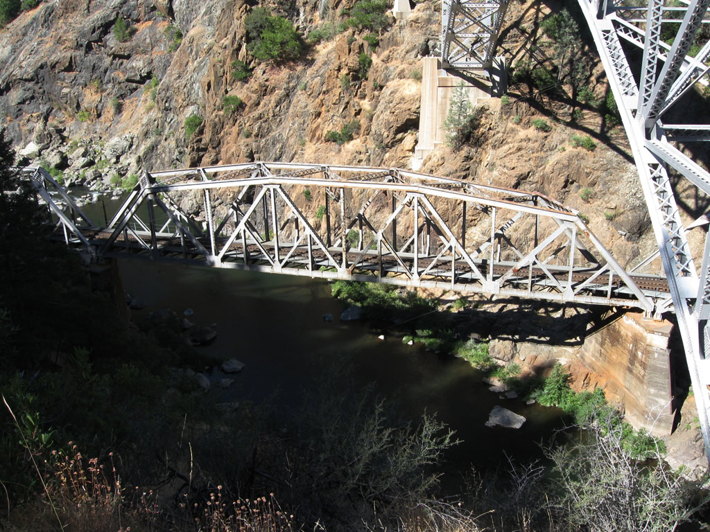
| Skipping ahead, westbound California 70 crosses the West Fork of the Feather River on the Pulga Bridge, which was built in 1932. This deck arch bridge crosses high above not only the river but also a through truss bridge that carries the railroad over the same river. Photos taken 09/04/10. |
|
|
|
|
|
|
|
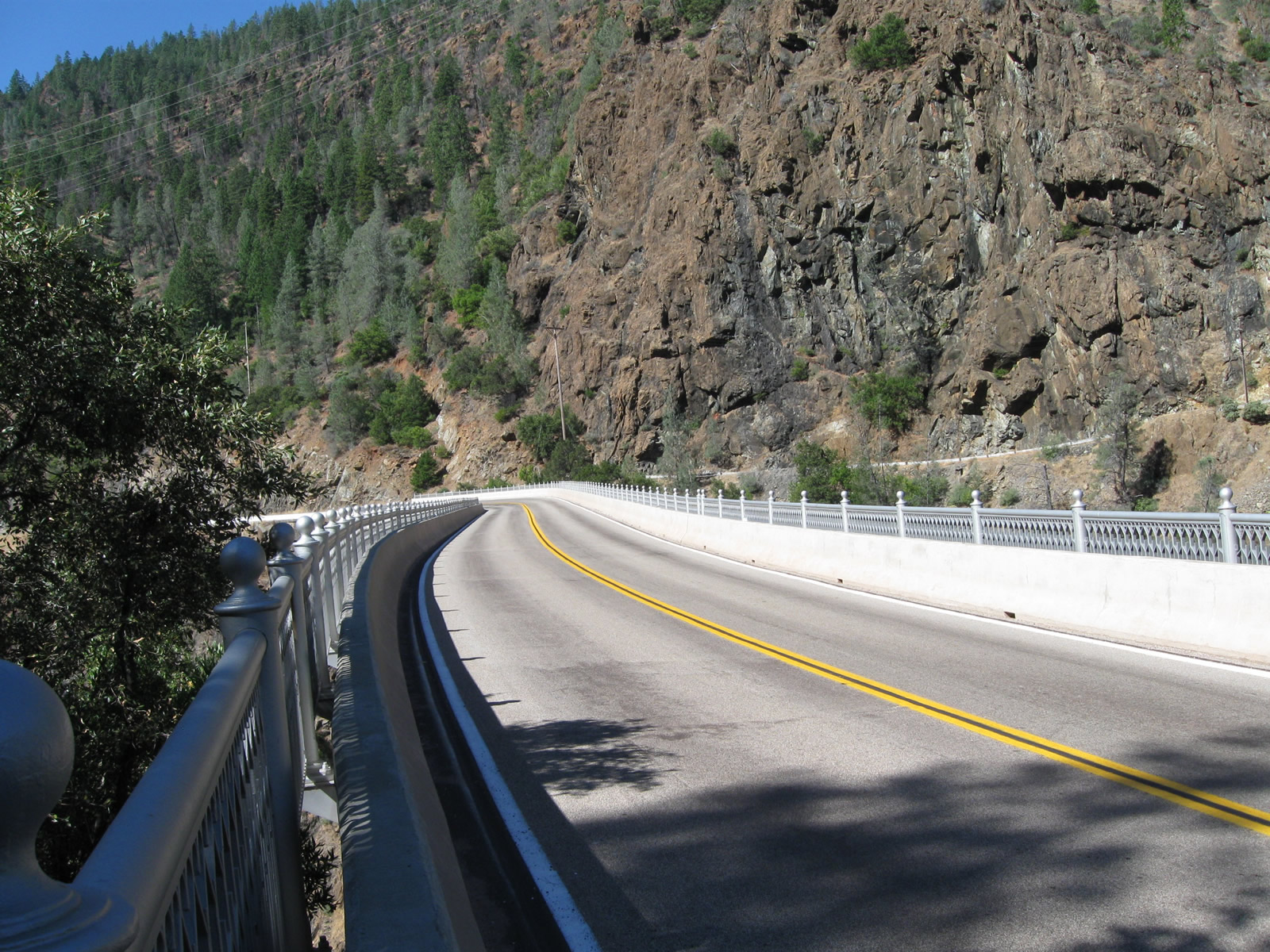
The Pulga Bridge span carries only two lanes for vehicle travel with no pedestrian sidewalk along the bridge. California 70 will next approach the right turnoff to Pulga, then proceed toward Yankee Hill. Photos taken 09/04/10. |
|
|
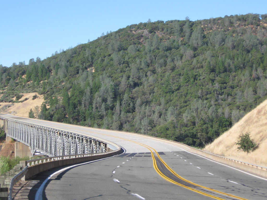
Descending from Yankee Hill, westbound California 70 crosses the West Branch Bridge, which carries the highway and railroad over the West Branch of the Feather River. The bridge opened to traffic in August 1962. Photos taken 09/04/10. |
|
Now on the other side of the Feather River Canyon, this California 70 west reassurance shield used to be posted after the California 191 intersection on what is now southbound Table Mountain Boulevard. Since the Wicks Corner Interchange project was completed, California 70 was shifted onto a new freeway alignment through the California 149 junction. Photo taken 05/24/08. |
|
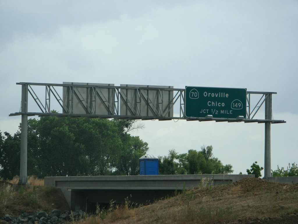
Looking from Table Mountain Boulevard, this view looks at the overhead signage for Exit 54, California 149 north to California 99 north en route to Chico. California 70 will shift from westbound to southbound en route to Oroville and Marysville. Photo taken 05/24/08. |
|
Westbound California 70 reaches Exit 54, California 149 north to Chico and Red Bluff. California 70 curves south toward Oroville and Marysville. Photo taken 05/24/08. |
Page Updated March 26, 2012.