| California 84 north - Rio Vista to West Sacramento |
|
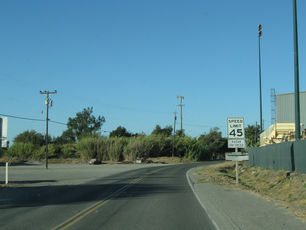
Leaving westbound California 12 in Rio Vista, this view shows the off-ramp connecting to California 84 north. While not well-signed on the approaches to the state highway, there are occasional California 84 shields near Rio Vista. Turn right for Front Street or continue straight on California 84 (River Road) north. Photo taken 09/05/10. |
|
Soon thereafter, this mileage sign is posted on California 84 (River Road) north as we leave Rio Vista and proceed toward Ryer Island. The state route will closely follow the west bank of the Sacramento River. Photo taken 09/05/10. |
|
Curving alongside the Sacramento River, drivers along California 84 north are afforded a stellar view of the Helen Madere Bridge, which carries California 12 east of Rio Vista. Photo taken 09/05/10. |
|
|
|
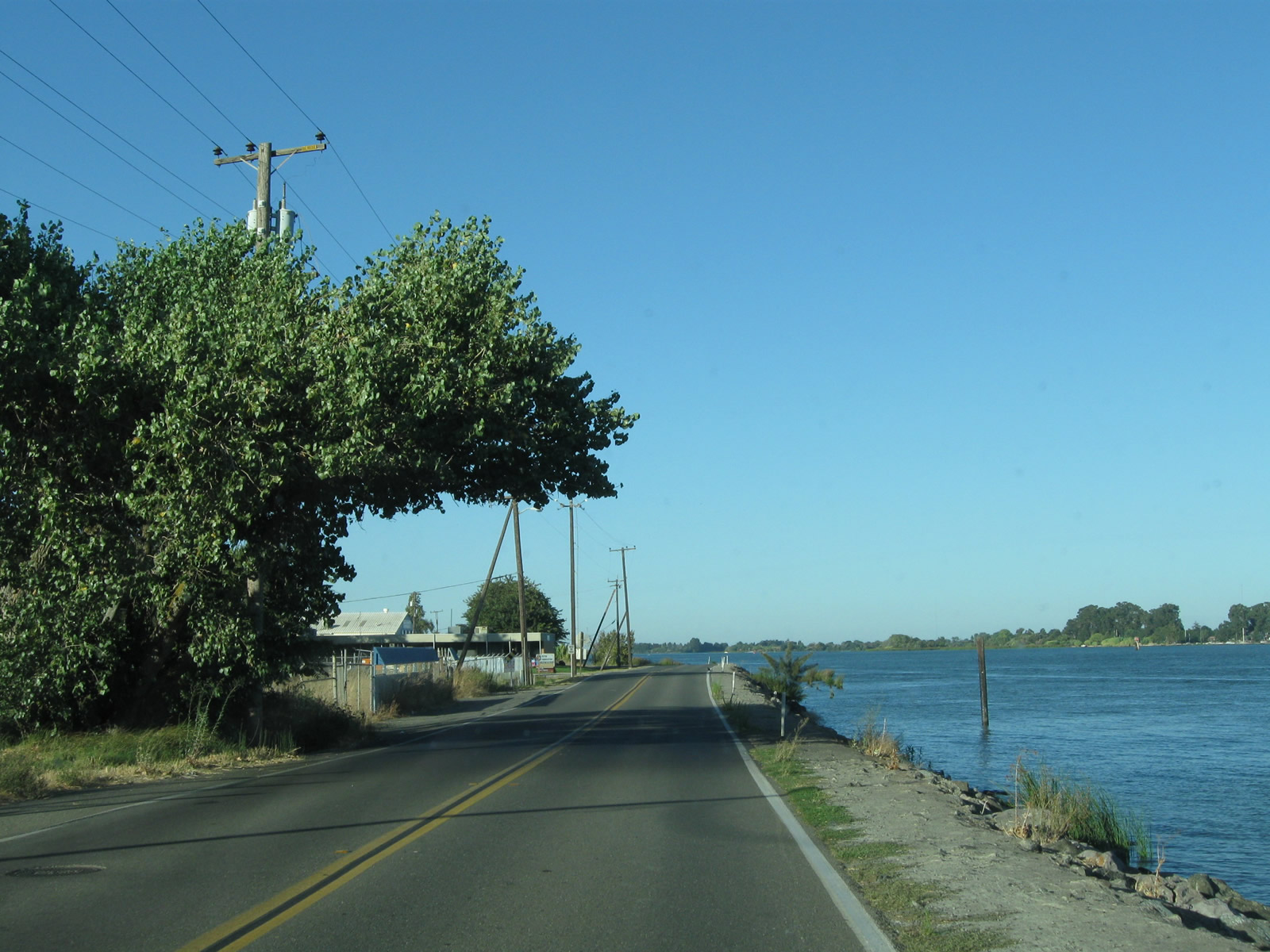
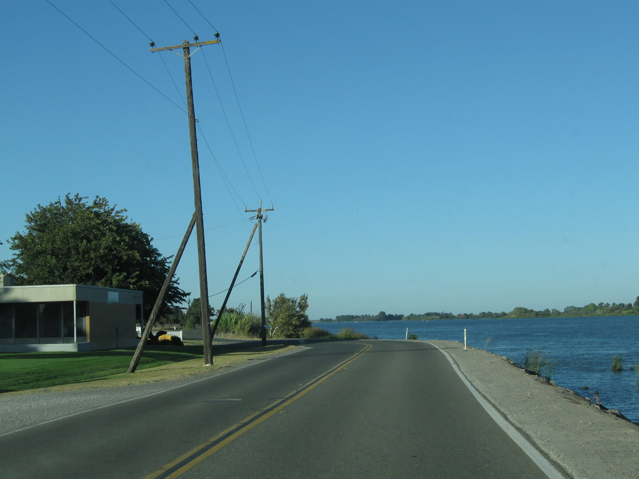
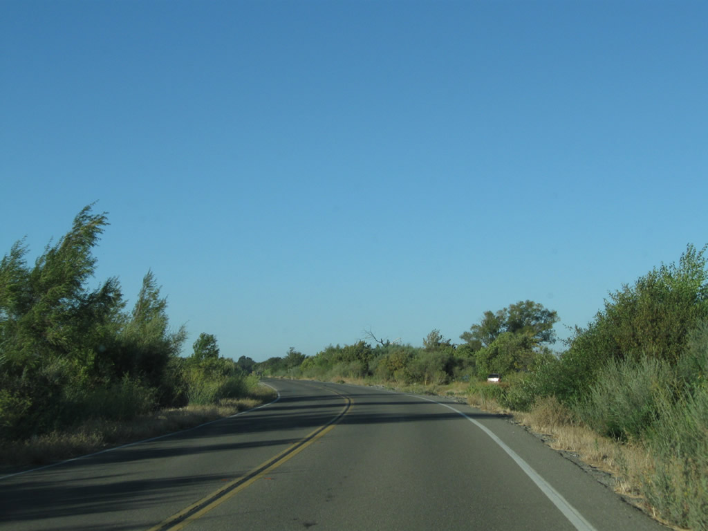
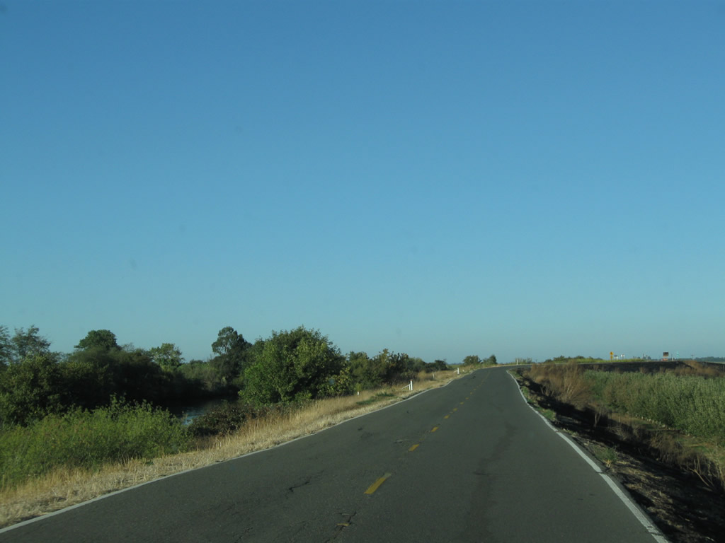
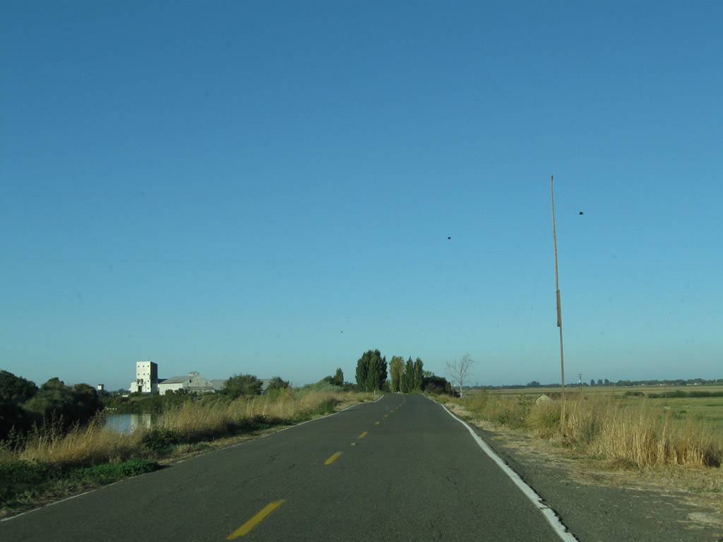
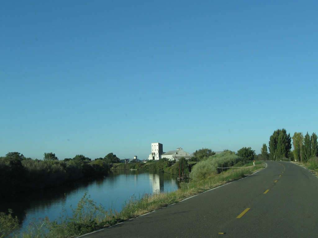
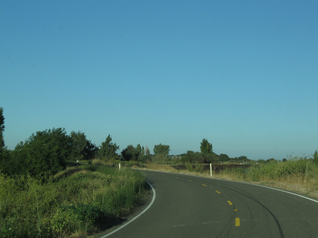
California 84 (River Road) continues closely alongside the Sacramento River. Photos taken 09/05/10. |
|
|
|
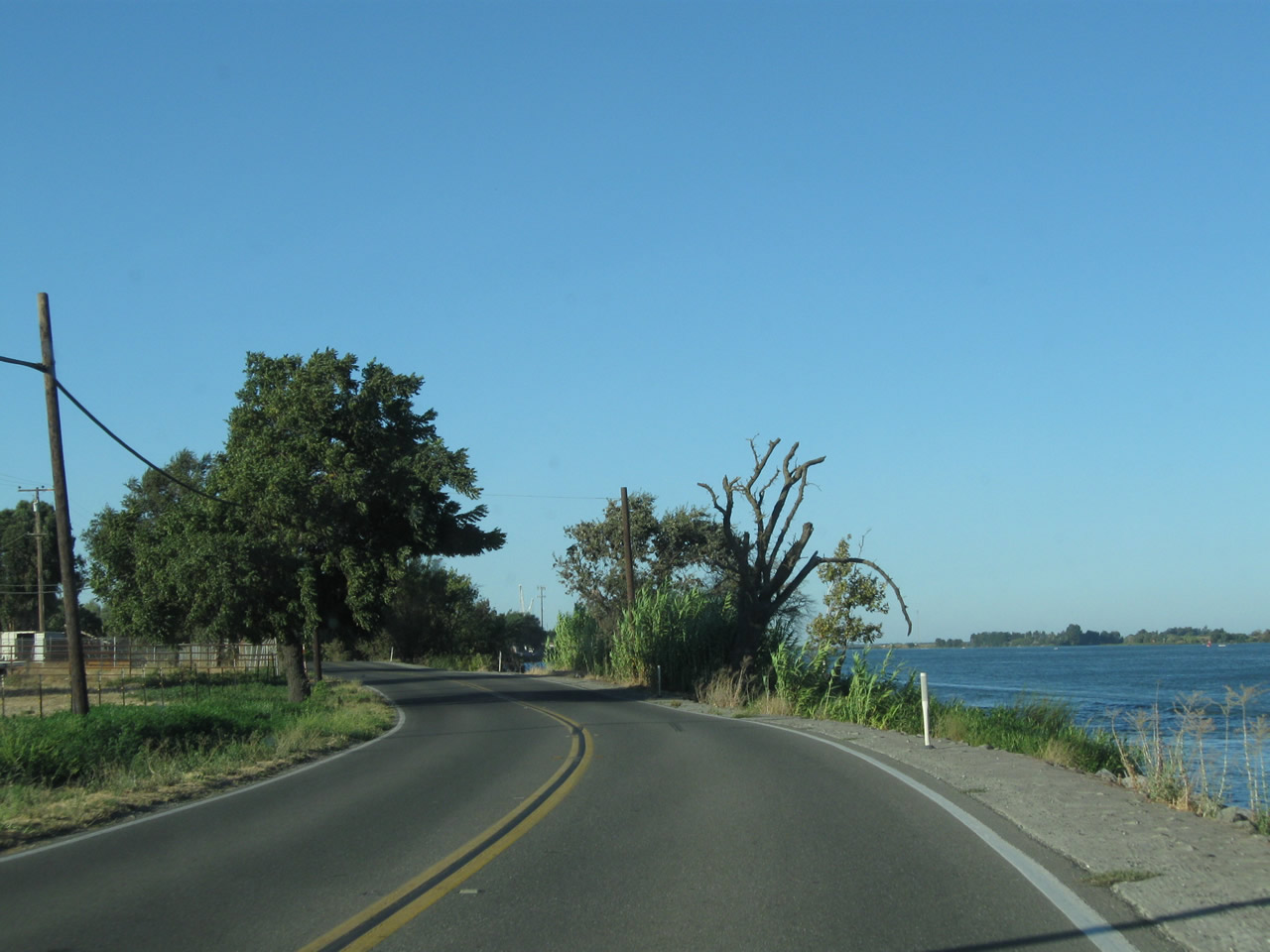
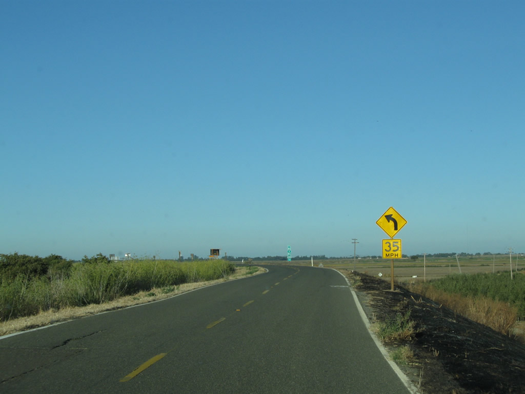
Curving away from the west bank of the Sacramento River, California 84 (River Road) enters a small residential area. Look for the first northbound postmile. Photos taken 09/05/10. |
|
|
|
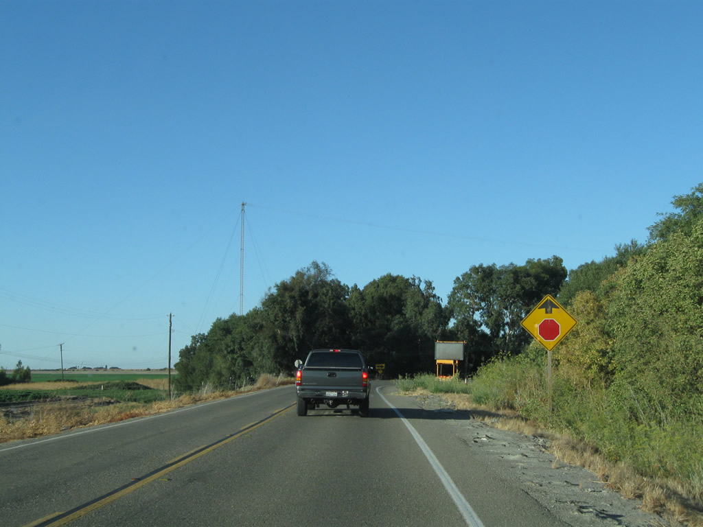
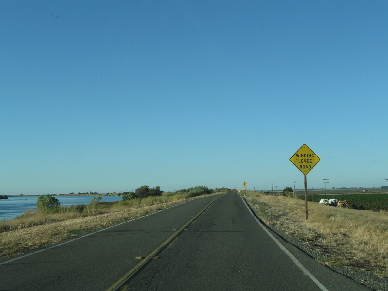
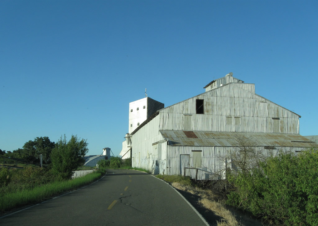
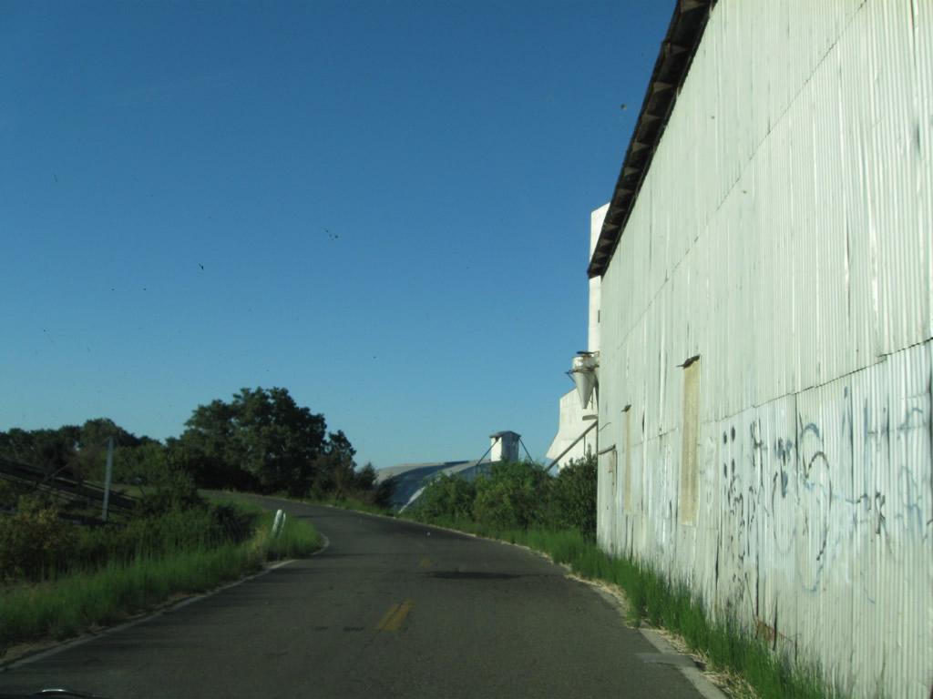
Continuing north, California 84 (River Road) will pass through more rural land as it approaches a state-operated ferry that will carry California 84 to Ryer Island. Watch for parked cars alongside the road (for those accessing the river near here). Photos taken 09/05/10. |
|
|
|
|
|
|
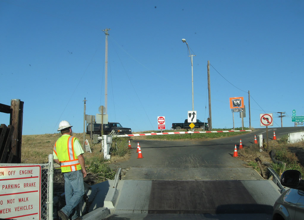
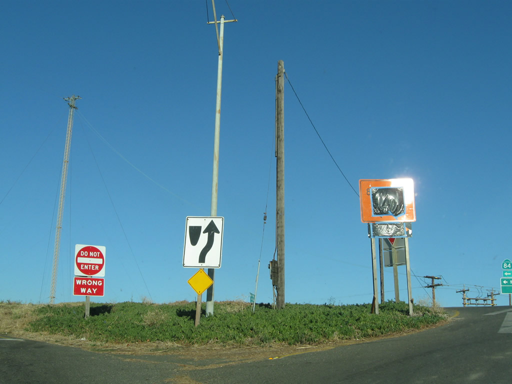
Farmland comes into view as northbound California 84 approaches the Ryer Island/Hearn Ferry. All vehicles must stop and wait to board the ferry, which is operated by the state of California and is free to motoring public. A second state-operated ferry is located along nearby California 220. Photos taken 09/05/10. |
|
|
|
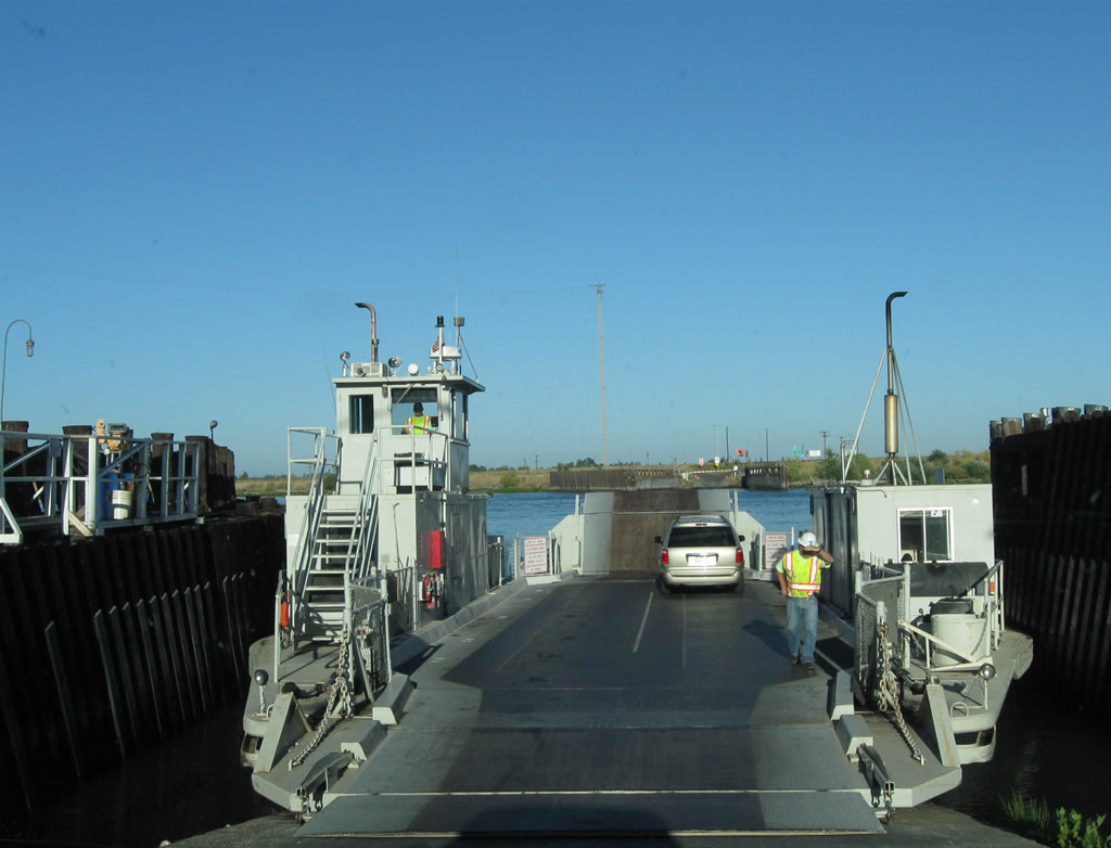
The Real McCoy Ferry takes California 84 north to Ryer Island. Photos taken 09/05/10. |
|
|
|
|
|
| The Real McCoy Ferry used to carry California 84 across Cache Slough, which is approximately 800 feet wide and separates Rio Vista and Ryer Island; it started service in 1945 and had completed about 200 trips per day, or 460,000 safe crossings between 1945 and 2008.1,2 A small white sign indicates both the name of the ferry and the fact that it is considered part of California 84 by posting a small, green California 84 route marker. In February 2011, the ferry boat shown in these pictures was replaced with a newer piece of equipment ("Real McCoy II"), replacing the original Real McCoy.3 Photos taken 09/05/10. |
|
Leaving the Real McCoy Ferry and now on Ryer Island, northbound California 84 approaches the boat ramp, which will connect the state ferry to the continuation of California 84 onto Ryer Island. Photo taken 09/05/10. |
|
This warning sign is posted on the Real McCoy Ferry; people are encouraged to remain in their vehicles and not walk about the deck of the ferry. Photo taken 09/05/10. |
|
Leaving the ferry, motorists drive back onto dry land and proceed uphill. Stay right to continue north on California 84. Photo taken 09/05/10. |
|
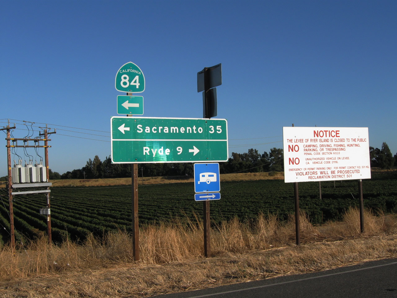
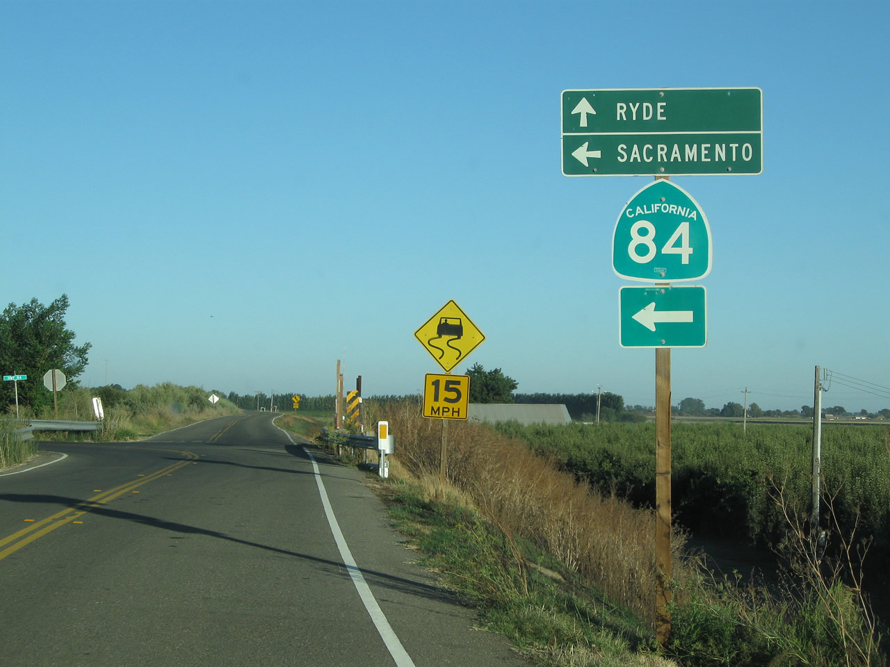
This mileage sign is posted at the top of the off-ramp from the ferry. Turn left to follow California 84 north along the western edge of Ryer Island to West Sacramento (35 miles). Turn right on Ryer Road east to Ryde (nine miles). Photo taken 09/05/10. |
|
A closer look is warranted for the red-on-white regulatory sign that advises of local regulations for the Ryer Island Levee system. Many areas are closed to the public and may not be used for camping, hiking, or trespassing. Photo taken 09/05/10. |
|
|
|
|
|
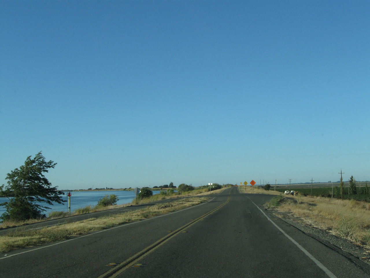
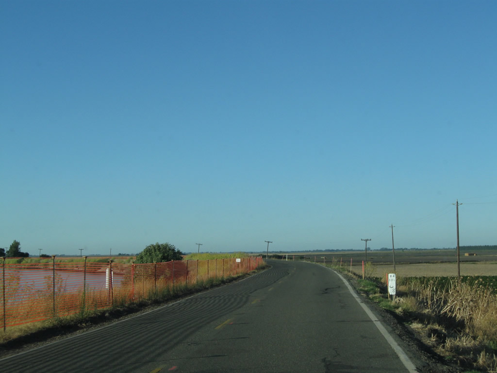
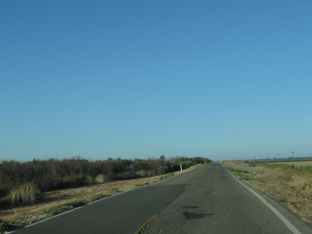
| Now traveling north, California 84 stays on the east bank of the river and proceeds north along the west side of Ryer Island, staying on top of the western levee that separates the water from the land. The road narrows and sees more twists and turns than we experienced closer to Rio Vista. Photos taken 09/05/10. |
|
|
|
|
|
|
|
|
|
|
|
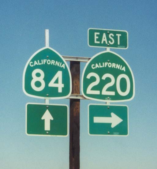
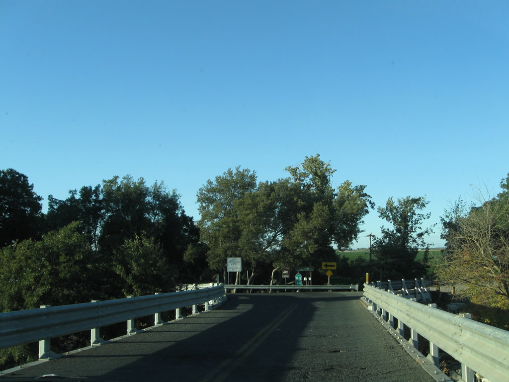
Continuing along the levee, northbound California 84 approaches California 220 east to Walnut Grove and Locke. Photo taken 09/05/10. |
|
|
Soon thereafter, northbound California 84 approaches and meets California 220, an east-west state route that travels from California 84 east to California 160, with a crossing over Steamboat Slough via the J-Mack Ferry. Note the changes to signage for this state route. Photos taken 09/05/10 and 06/19/01 by Joel Windmiller. |
|
Northbound California 84 leaves the intersection with California 220 and continues north along the western edge of Ryer Island. Photo taken 09/05/10. |
|
|
|
|
|
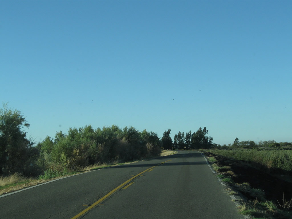
| California 84 continues north along the levee, with views of water and farmland alternating as the highway makes its way north. At the northern end of Ryer Island, California 84 uses a draw bridge to return to the mainland. Photos taken 09/05/10. |
|
|
|
|
|
|
|
|
|
|
|
|
|
|
|
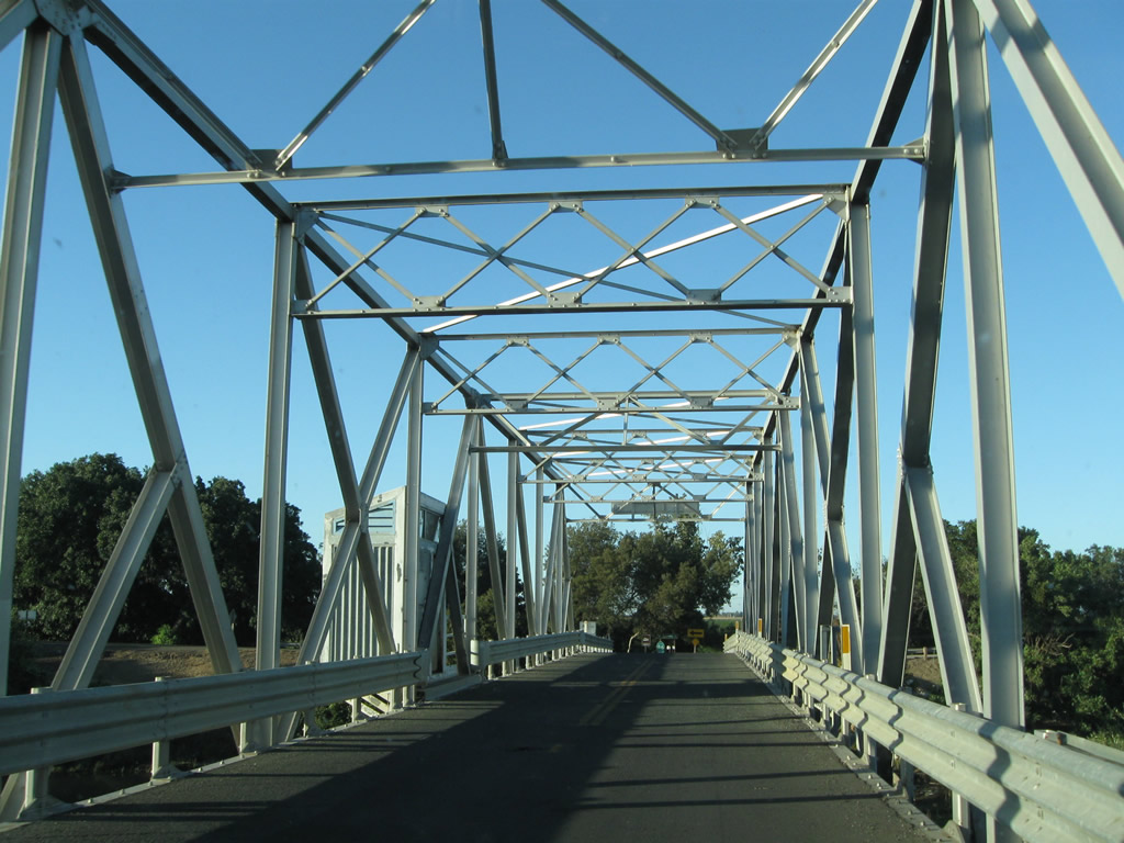
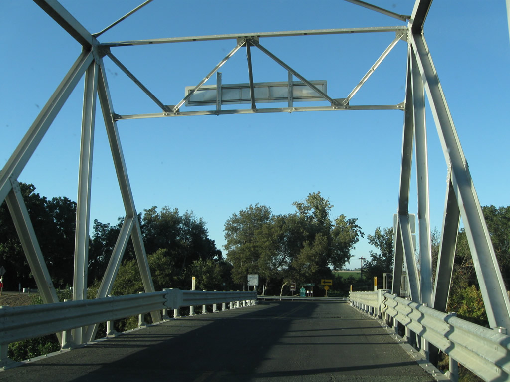
| Reaching the north end of Ryer Island, northbound California 84 will turn sharply left to follow a draw bridge to return to the mainland. Photos taken 09/05/10. |
|
|
|
|
|
|
California 84 leaves Solano County and enters Yolo County. Note the California 84 south route marker posted in the other direction. Photo taken 09/05/10. |
|
California 84 is no longer signed but remains in state control. Call boxes are introduced along this section of the route, and the blue signs reaffirm the route number. Photo taken 09/05/10. |
|
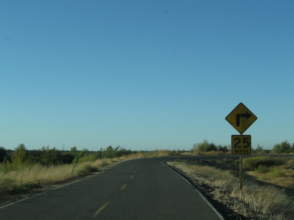
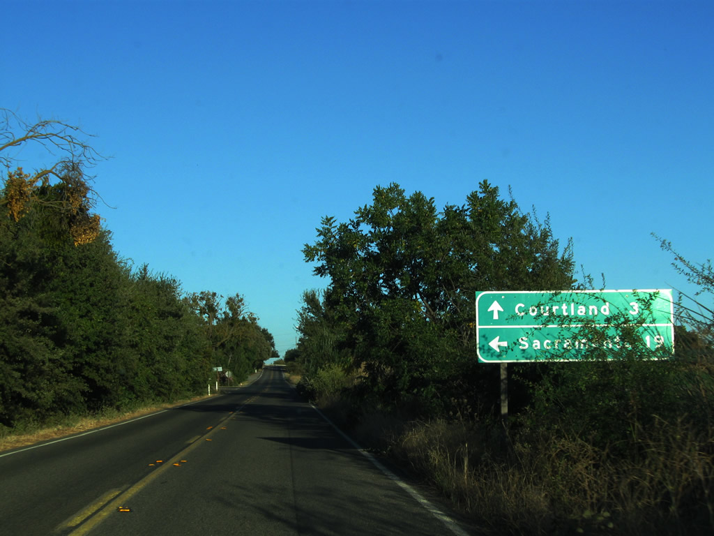
Northbound California 84 sees a long, straight stretch as it proceeds through rural Yolo County, passing by farms and ranches along the way. A right-angle curve shifts California 84 from Ryer Avenue onto Courtland Road. Photo taken 09/05/10. |
|
At this intersection, turn left to follow now-unsigned California 84 north to West Sacramento (via Jefferson Boulevard) or continue straight ahead on Courtland Road (Road 158) to California 160 en route to Courtland. Photo taken 09/05/10. |
| California 84 (Jefferson Boulevard) north |
|
California 84 will follow Jefferson Boulevard north from here north to West Sacramento. Photo taken 09/05/10. |
|
Jefferson Boulevard rolls through rural farms, orchards, and other agricultural areas as it approaches the vicinity of the state capital. Photo taken 09/05/10. |
|
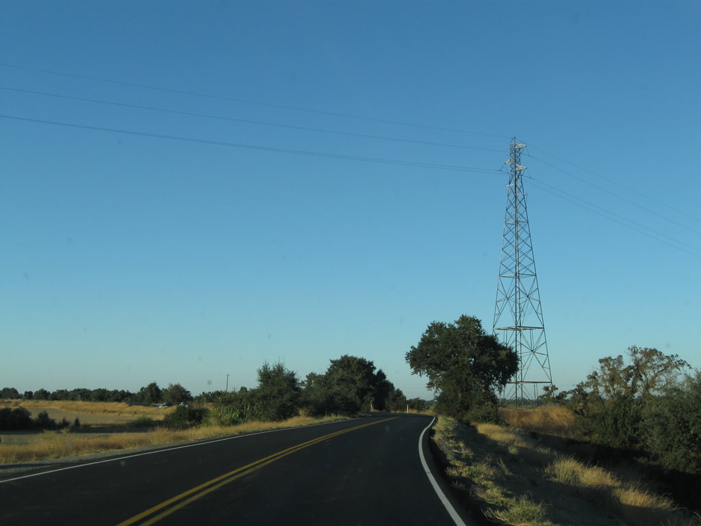
Proceeding north along Jefferson Boulevard, unsigned northbound California 84 approaches some tall towers that carry power lines over the Sacramento River. Photo taken 09/05/10. |
|
Even as we get closer to Sacramento, the landscape is deceptively rural, with most development along the Interstate 5, Interstate 80, U.S. 50, and California 99 corridors coming into town. California 84 (Jefferson Boulevard) passes under the aforementioned power line tower. Photo taken 09/05/10. |
|
The downtown skyscrapers for Sacramento come into view above the seemingly endless farmland. Photo taken 09/05/10. |
|
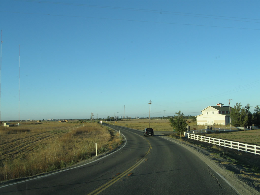
Jefferson Boulevard continues north through farmland, but the abrupt change from farmland to suburbia is not far ahead. The state relinquished maintenance of Jefferson Boulevard once the highway enters the city limits of West Sacramento. Photo taken 09/05/10. |
|
Northbound California 84 (Jefferson Boulevard) meets its first traffic signal (at least as of 2010) at Marshall Road. Farmland shifts into suburbia. Photo taken 09/05/10. |
| Former California 84 - Jefferson Boulevard north |
|
After the shift from rural farms to suburban development, Jefferson Boulevard enters the city of West Sacramento. Here, northbound Jefferson Boulevard (former California 84) approaches the interchange with Business Loop I-80 and U.S. 50 (Capital City Freeway). To Interstate 5, follow Business 80 east (next right). Business 80 east also connects to Interstate 80 en route to Auburn, Truckee, and Reno, and U.S. 50 proceeds east to Placerville and South Lake Tahoe. The next left will connect to Business 80 west to Interstate 80 west to Davis, Fairfield, Vallejo, Oakland, and San Francisco. Photo taken 09/05/10. |
|
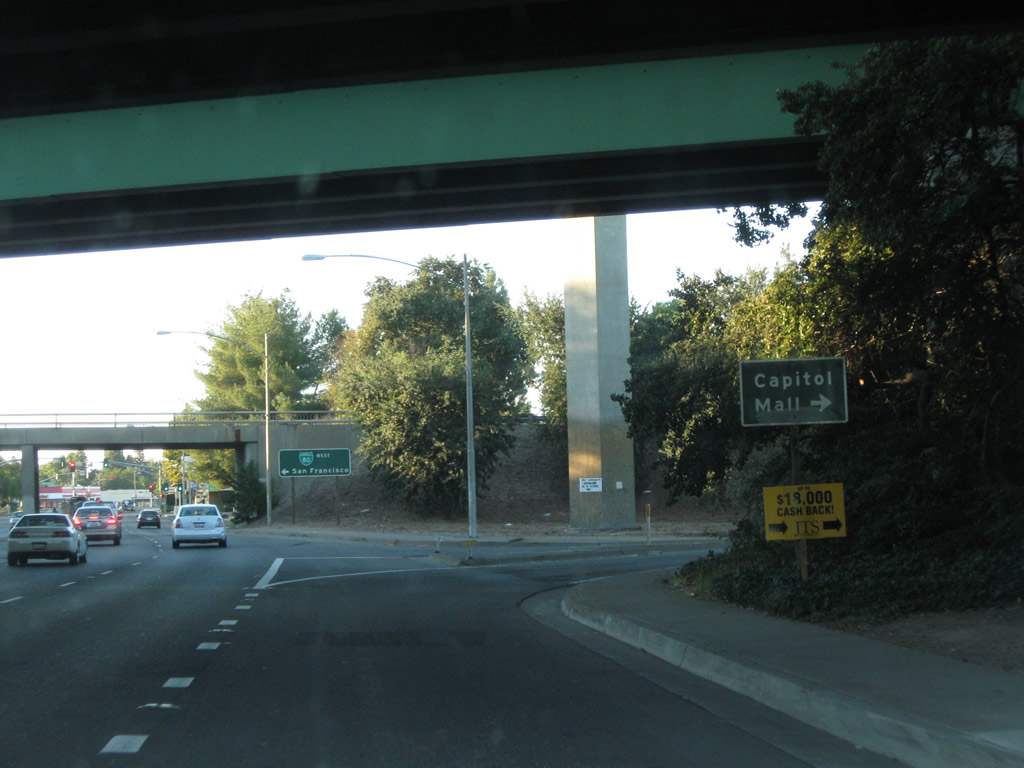
A second right from northbound Jefferson Boulevard connects to Tower Bridge Gateway east (Former California 275 east). The next left connects to Business 80 west. Photo taken 09/05/10. |
|
Northbound Jefferson Boulevard (now decommissioned from the state highway system) next approaches the left turn to Business 80 west to Interstate 80 west. Underneath a series of ramps, former California 84 approaches Business Loop I-80 (which is also signed as U.S. 50 and designated by the FHWA as Interstate 305) west to San Francisco. Note that the word "loop" is omitted from the business loop shield shown on this guide sign. U.S. 50 is not signed here, even though it passes overhead. Photo taken 01/16/06. |
|
A freeway entrance shield for Business Loop I-80 west is posted at the on-ramp to westbound Business 80 and U.S. 50 (Capital City Freeway). Photo taken 01/16/06. |
Page Updated July 24, 2012.