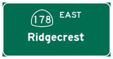
| California 178 east |
|---|
|
|
|
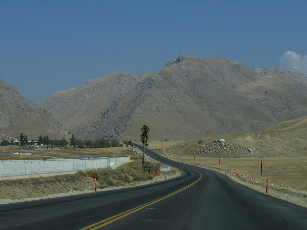
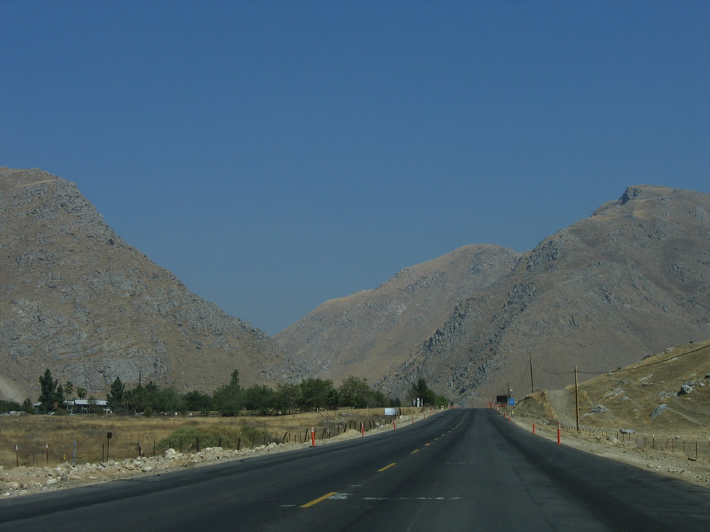
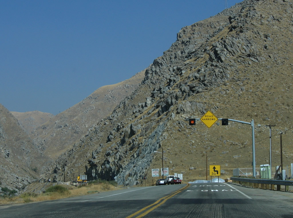
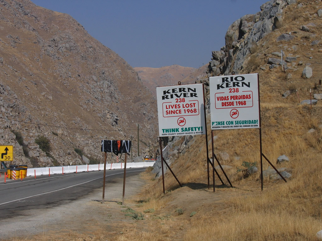
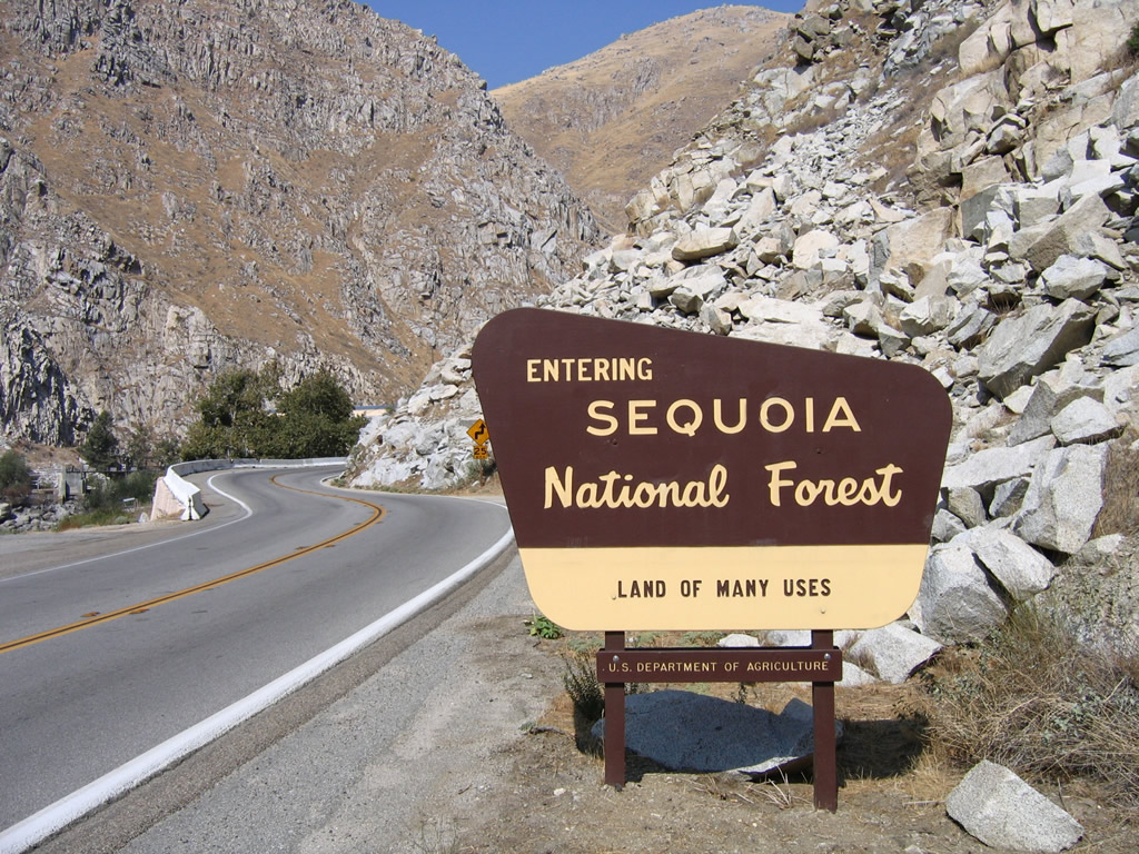
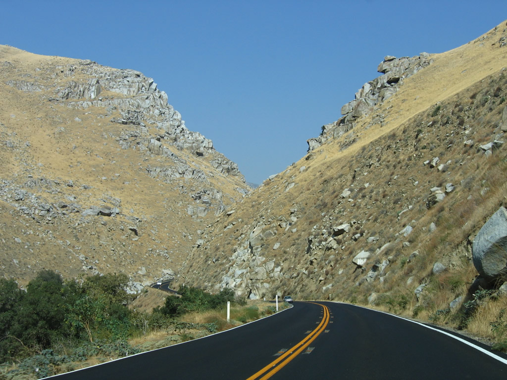
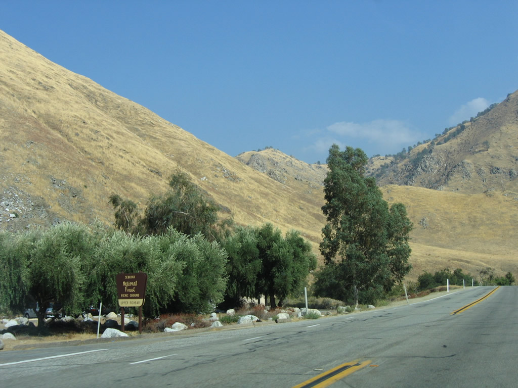
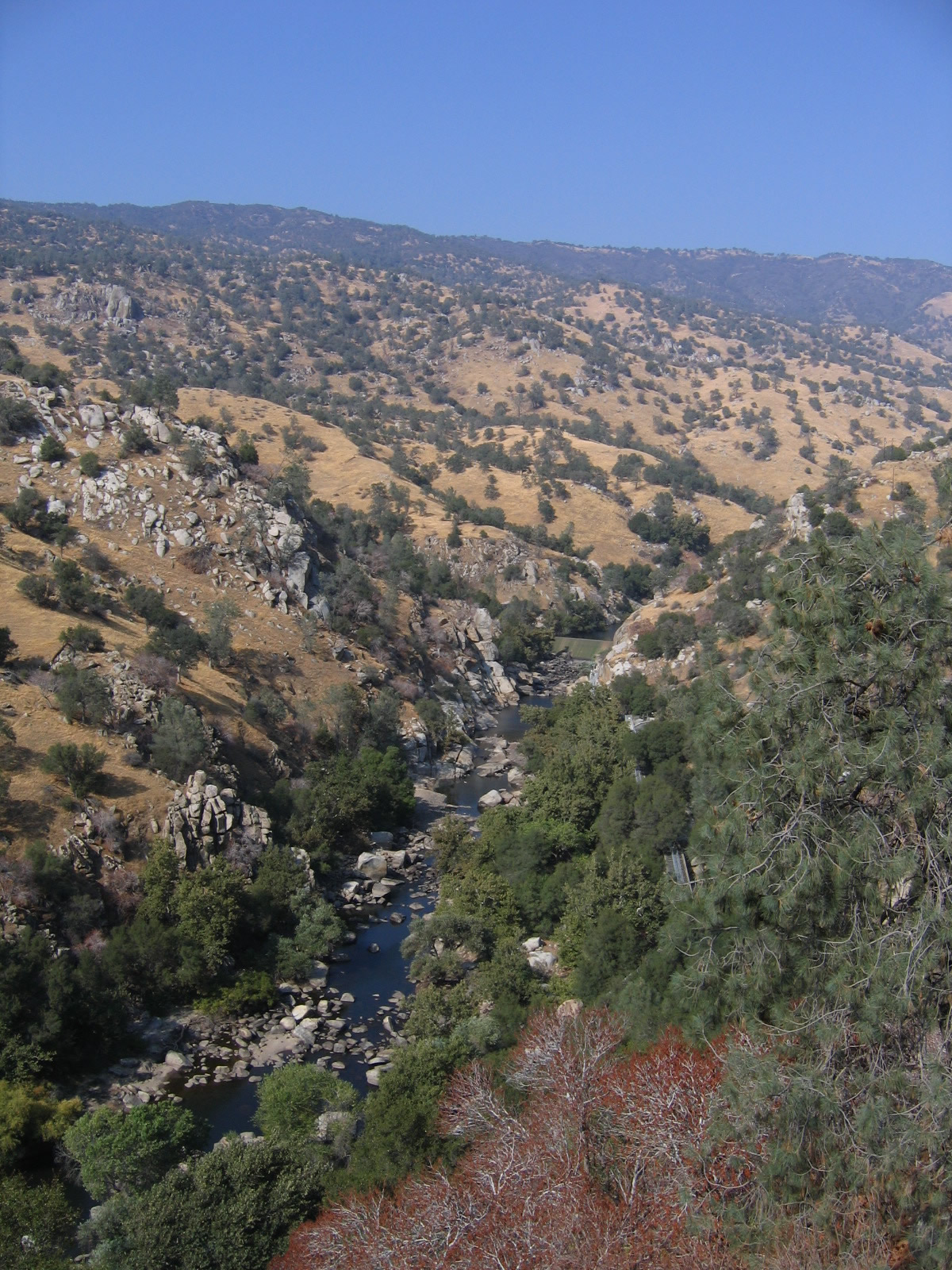
Continuing east, California 178 passes through the foothills of the Sierra Nevada as the highway prepares to enter the Kern River Canyon. California 178 soon enters Sequoia National Forest and will closely parallel the Kern River all the way to Lake Isabella. Due to the treacherous nature of the road, California 178 has seen an above average number of traffic accidents and fatalities through the Kern River Canyon. All traffic should stay alert while passing through the canyon. At this point, California 178 also leaves Bakersfield. Photos taken 10/07/06. |
|
|
|
|
|
|
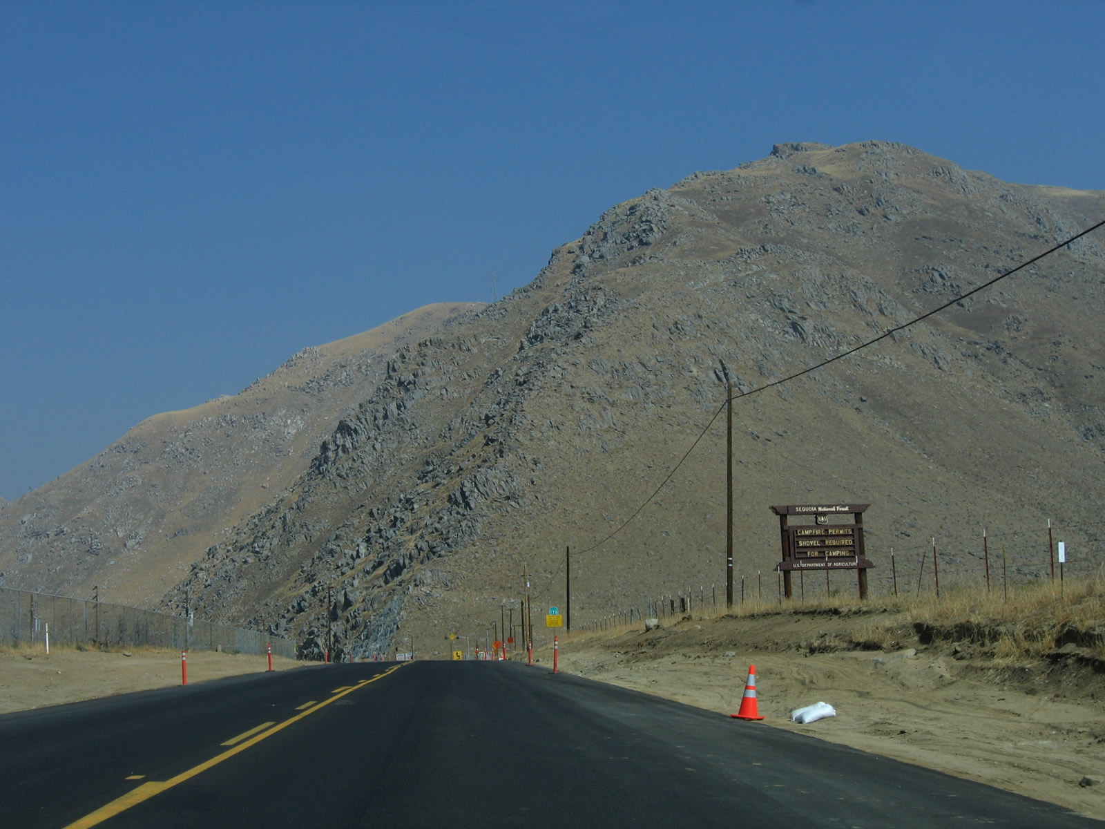
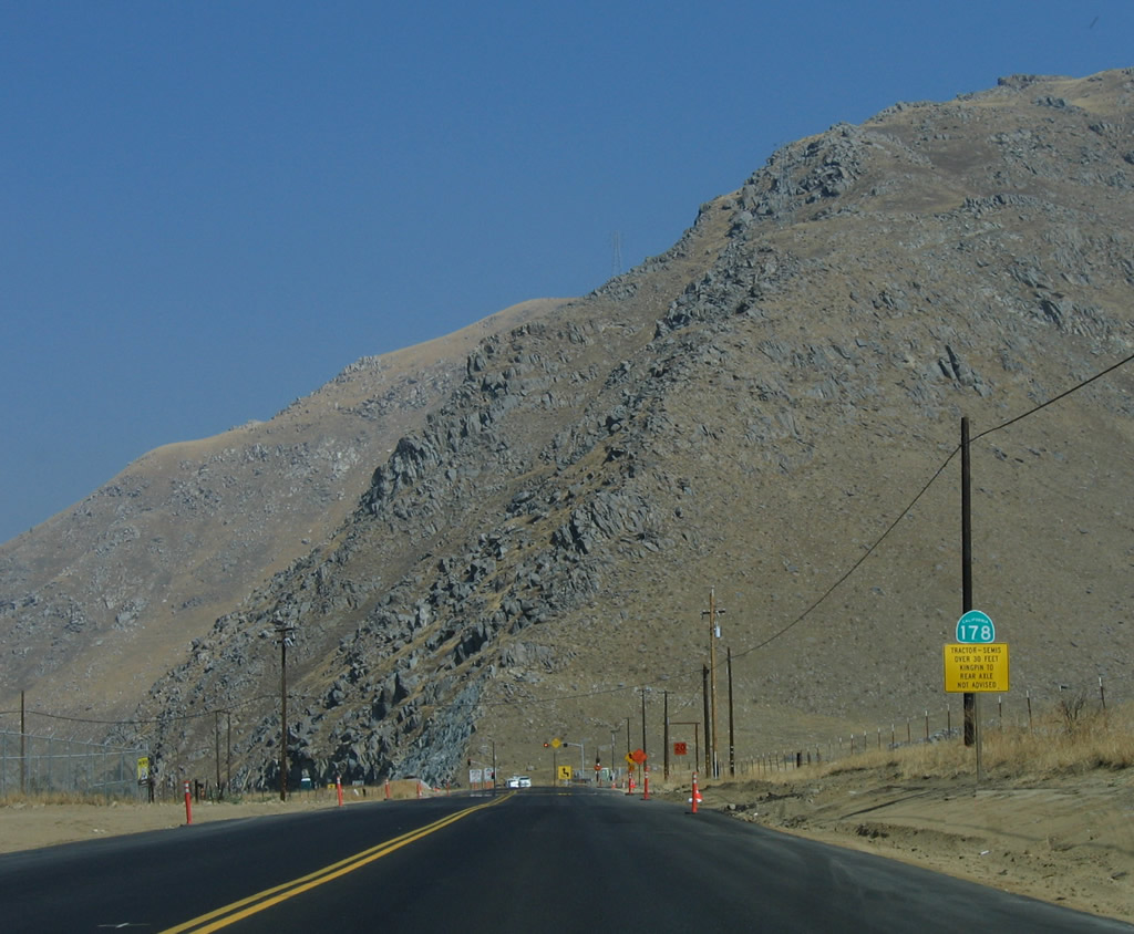
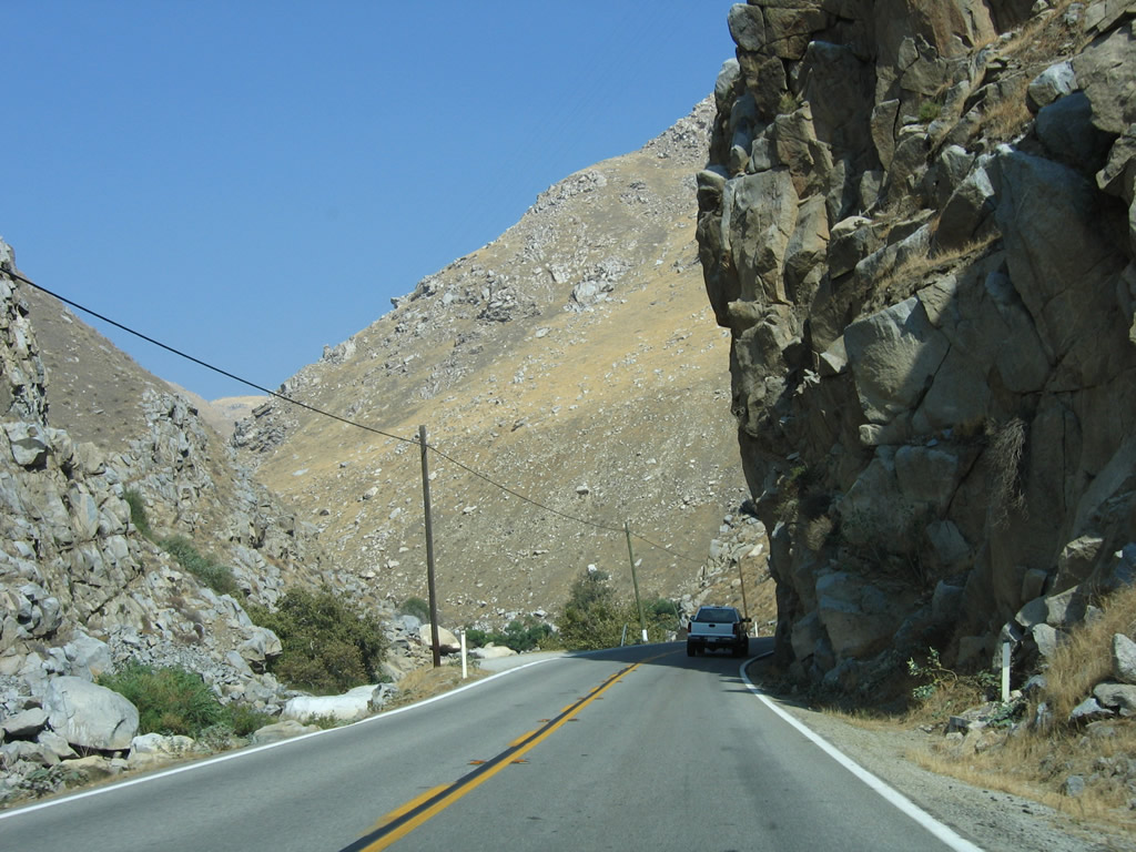
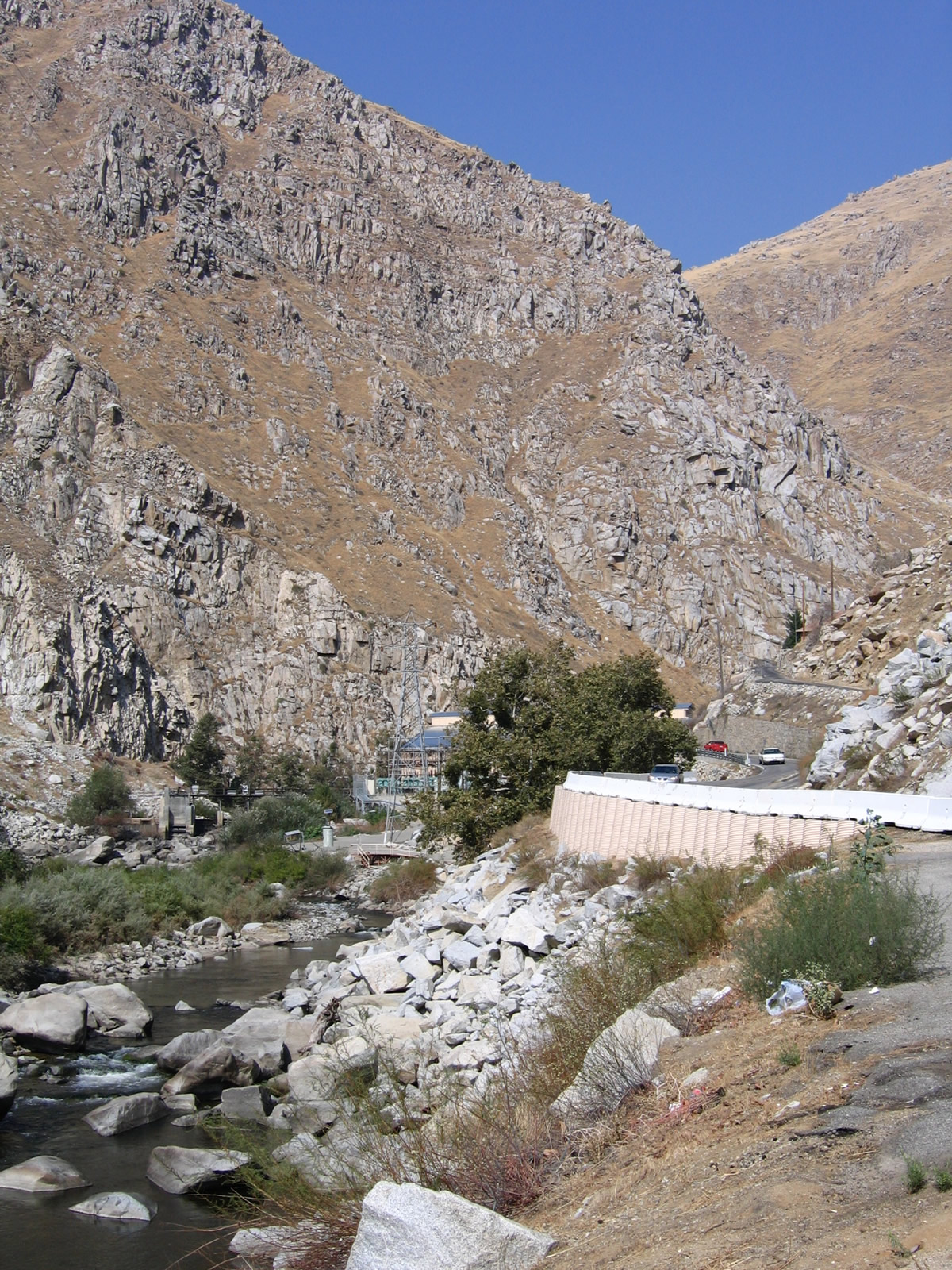
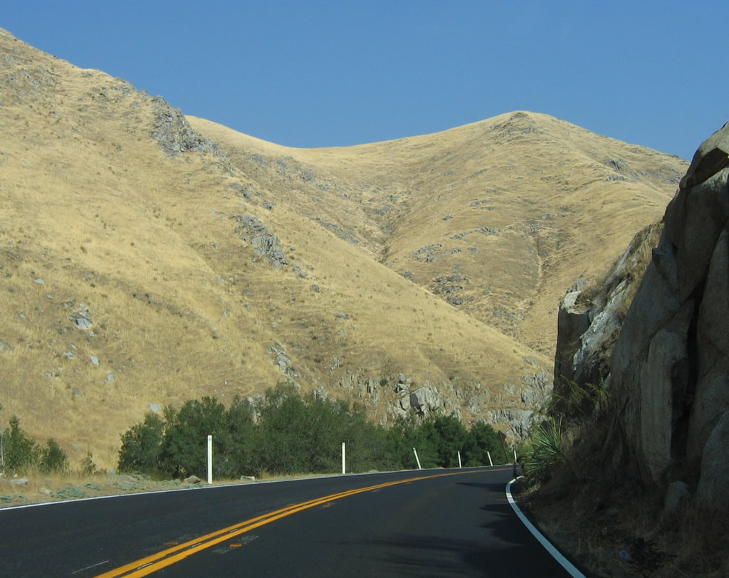
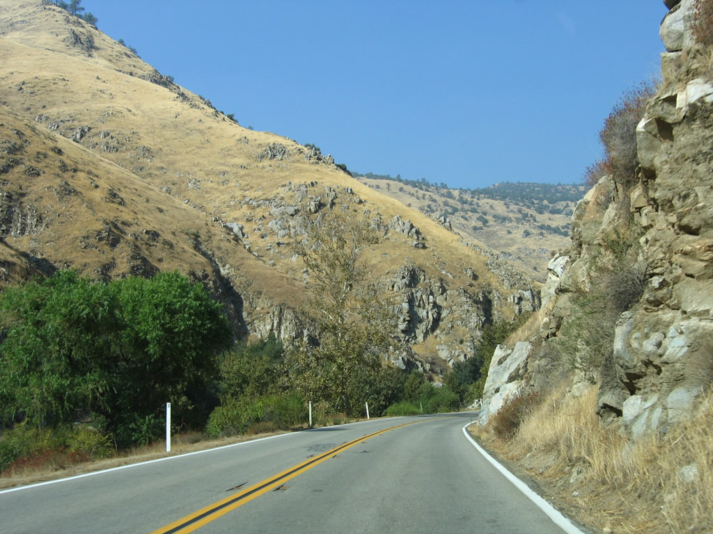
California 178 enters narrow Kern River Canyon and soon enters Sequoia National Forest. A series of hydroelectric projects along the Kern River generate electricity that is transmitted south toward greater Los Angeles; one of these power generating turbine facilities is seen along the river ahead. Photos taken 10/07/06. |
|
|
|
|
|
|
|
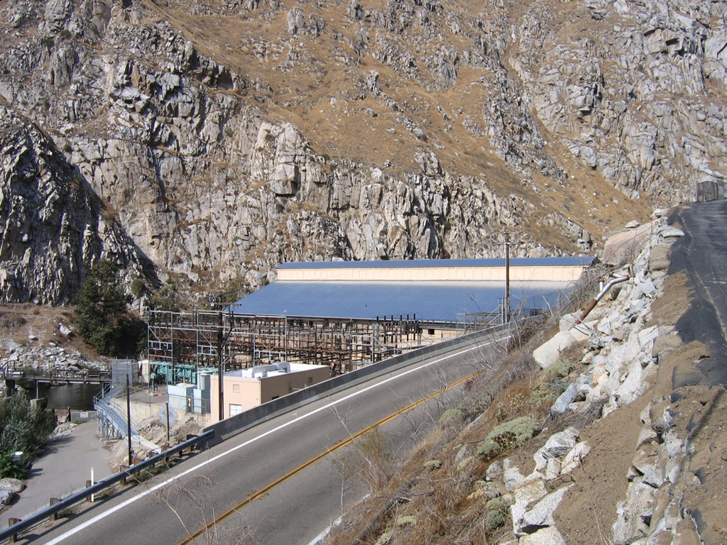
This view looks east along the Kern River and California 178/Kern Canyon Road. The aforementioned Southern California Edison hydroelectric power plant can be seen upstream from here. Photo taken 10/07/06. |
|
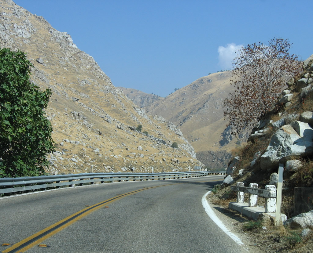
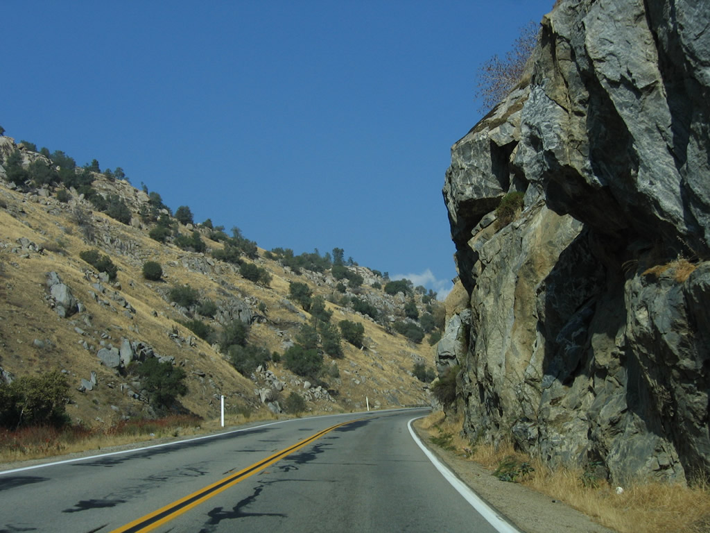
Due to the constraints of a narrow canyon, California 178 has to stay very close to the Kern River. This results in occasional retaining walls and sidehill viaducts to support the highway. Photo taken 10/07/06. |
|
|
|
|
Eastbound California 178 continues east past the hydroelectric power plant. A nearby side road offers views both east and west along California 178. Photos taken 10/07/06. |
|
Continuing east after the Southern California Edison hydroelectric power generating plant, California 178 crosses a small culvert that features old-style white railing. Photo taken 10/07/06. |
|
With a wall of rocks like this, it's amazing the original road got through here in the first place. Photo taken 10/07/06. |
|
|
|
|
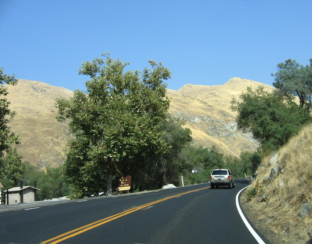
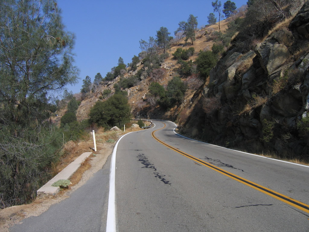
Eastbound California 178 continues to gain elevation as it follows the Kern River en route to Lake Isabella. Photos taken 10/07/06. |
|
|
|
|
|
|
|
|
|
Along the river's edge are several picnic and day-use areas, some of which have toilets. (This turnoff is for Lower Richbar.) Additionally, some hot springs line the Kern River through the canyon en route to Lake Isabella; locals know the best route to the springs. Photo taken 10/07/06. |
|
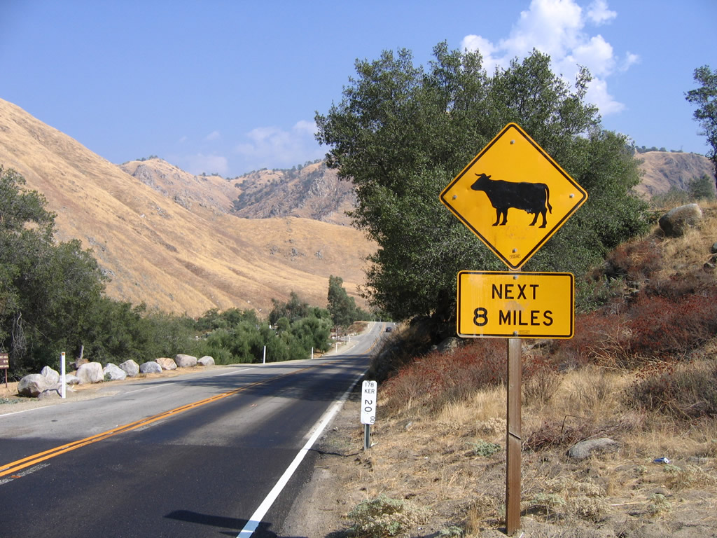
Around postmile marker 20 is a sign advising of cattle and loose stock for the next eight miles as California 178 enters open rangeland. Photo taken 10/07/06. |
|
The post miles measure distance from Bakersfield traveling east toward Lake Isabella and Ridgecrest. This one measures 20 miles from its western terminus at California 58-99 in Bakersfield. Photo taken 10/07/06. |
|
Another roadside parking area with minimal facilities is found along California 178 in the Kern River Canyon. This view looks down at Upper Richbar. Photo taken 10/07/06. |
|
Eastbound California 178/Kern Canyon Road meets the turnoff to Upper Richbar. Photo taken 10/07/06. |
|
|
|
|
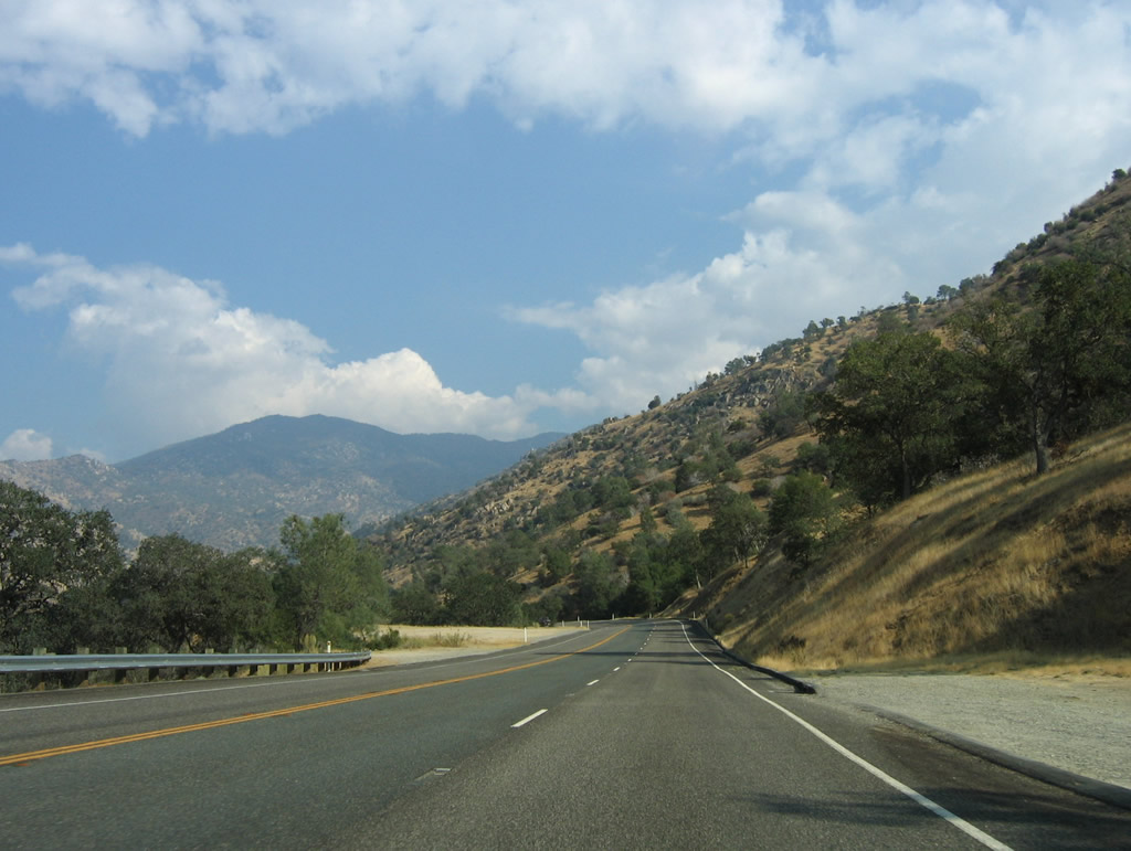
The highway continues east as it follows the Kern River and continues to gain elevation. Eventually the highway gains enough elevation to be well above the level of the Kern River. Photos taken 10/07/06. |
|
|
|
|
|
|
|
|
|
|
|
|
|
|
|
|
|
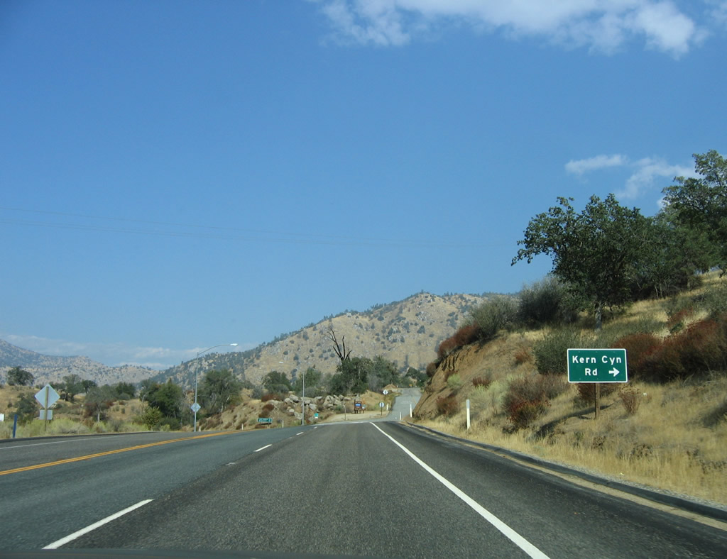
Near the turnoff for the Democrat day-use area at the junction with Forest Service Road 28S09, eastbound California 178/Kern Canyon Road passes by this old porcelain enamel FAP (federal aid primary) marker from the early days of the state highway system. Photo taken 10/07/06. |
|
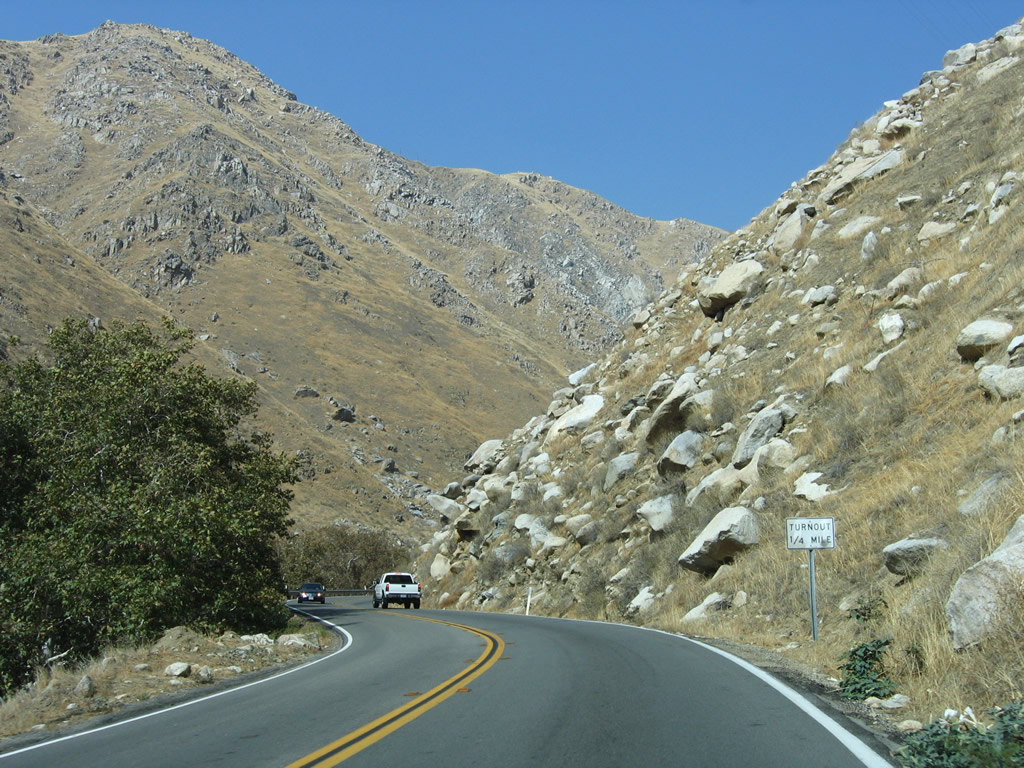
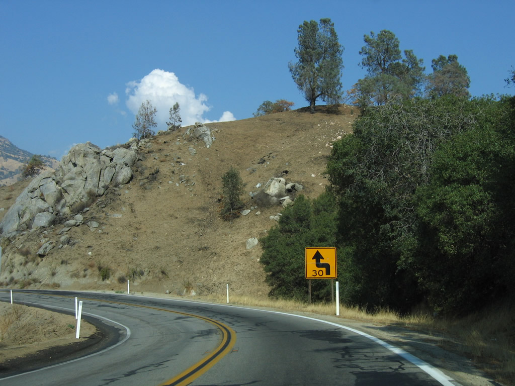
The two lane segment of California 178 will soon widen out, even though it doesn't feel like it. Long-range plans call for an eventual bypass of California 178 by avoiding the Kern River Canyon to the north, but such a bypass is many years away pending funding identification for such a major project. Photo taken 10/07/06. |
|
A climbing lane begins, which aids eastbound/uphill traffic. Photo taken 10/07/06. |
|
Nearing the top of the canyon, eastbound California 178 approaches Kern Canyon Road, which is the original alignment of California 178. After this intersection, California 178 becomes a four-lane expressway for the rest of the way into Lake Isabella. Photo taken 10/07/06. |
|
Turn right here to follow Kern Canyon Road east along the old alignment to Lake Isabella. Continue straight to follow the California 178 expressway to Lake Isabella. Photo taken 10/07/06. |
|
A reassurance shield for California 178 east is posted at the intersection with Kern Canyon Road. Photo taken 10/07/06. |
|
This mileage sign along California 178 east provides the distance to Lake Isabella (13 miles) and Ridgecrest (74 miles). Photo taken 10/07/06. |
|
The Kernvale - Lake Isabella bypass begins as a three-lane expressway. Photo taken 10/07/06. |
|
Eastbound California 178 proceeds east toward Lake Isabella. This is faster route than the original alignment on Kern Canyon Road. Photo taken 10/07/06. |
Page Updated October 23, 2009.