

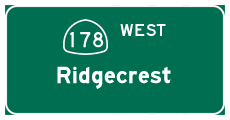
California 178 West - Death Valley
| California 178 west | |
|---|---|
 |
This Welcome to California sign greets motorists along westbound California 178 at the California-Nevada state line between Shoshone and Pahrump. Photo taken 01/21/02. |
 |
California 178 west begins at the California-Nevada state line between Shoshone and Pahrump. Photo taken 01/21/02. |
 |
This mileage sign is found along westbound California 178 at the California-Nevada state line between Shoshone and Pahrump. Photo taken 01/21/02. |
 |
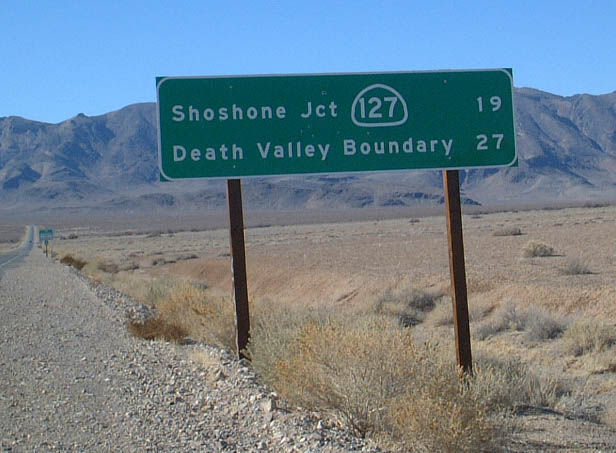
Westbound California 178 approaches the intersection with California 127 near Shoshone. Photo taken 11/11/08. |
 |
 |
California 178 meets California 127 in Shoshone. From here, California 178 turns north along California 127 to enter the town of Shoshone, one of the few gateway towns to Death Valley National Park. Photos taken 01/21/02. |
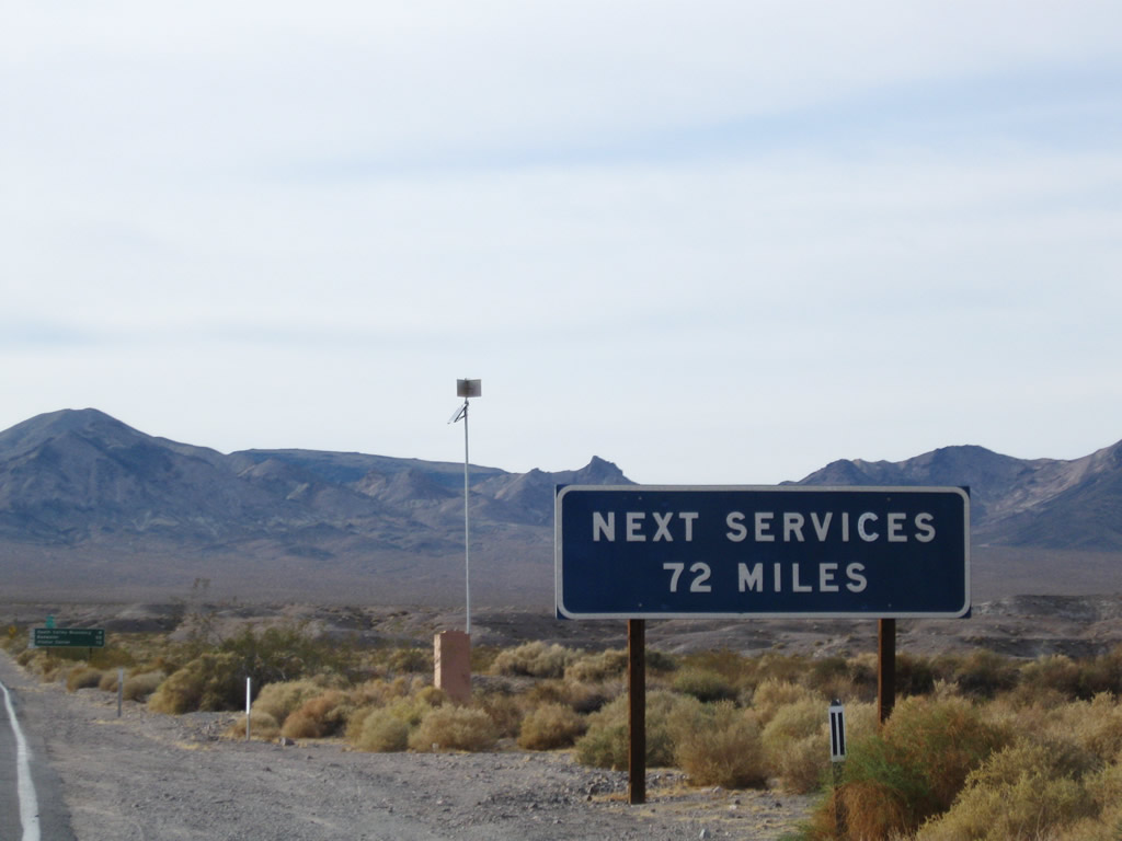 |
A "no services" sign is posted after splitting from California 127. Not only are there no services for 72 miles, the services within Death Valley National Park can be very expensive. Photo taken 11/11/08. |
 |
 |
A mileage sign is posted along California 178 west after the intersection with California 127. The state route does not make it all the way to Badwater or the Death Valley Visitors Center; it ends at the old Death Valley National Monument boundary line. Photos taken 11/11/08 and 01/19/02. |
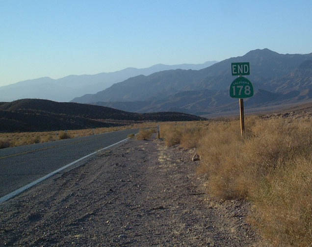 |
California 178 ends at the former Death Valley National Monument boundary. Other than the fact that this used to be the national monument boundary, this point seems like an arbitrary end to a state route. The paved road continues into the park as Badwater Road, and it ultimately connects to California 190 to the northeast of here. Photo taken 01/19/02. |

Page Updated March 19, 2010.
|
About Contact Glossary |
In The News Testimonials Interstate Guide |
Social Media:
 |
|
© 2000-23 AARoads.com | All Rights Reserved | Privacy Policy / Terms of Use
|
||