| U.S. 50 east |
|
This U.S. 50 east reassurance shield is posted after the on-ramp from Ridgeway Drive and Pony Express Trail in Pollock Pines. Photo taken 07/08/07. |
|
|
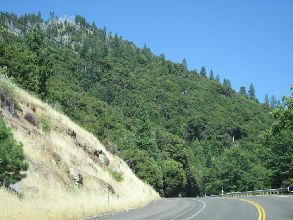
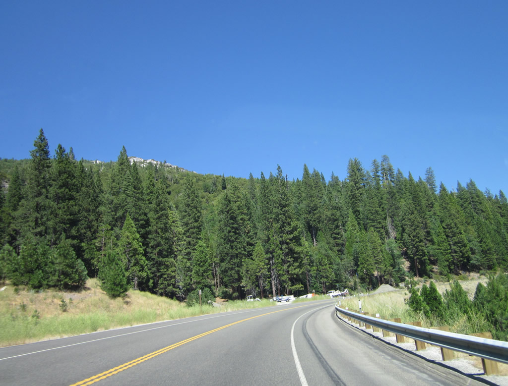
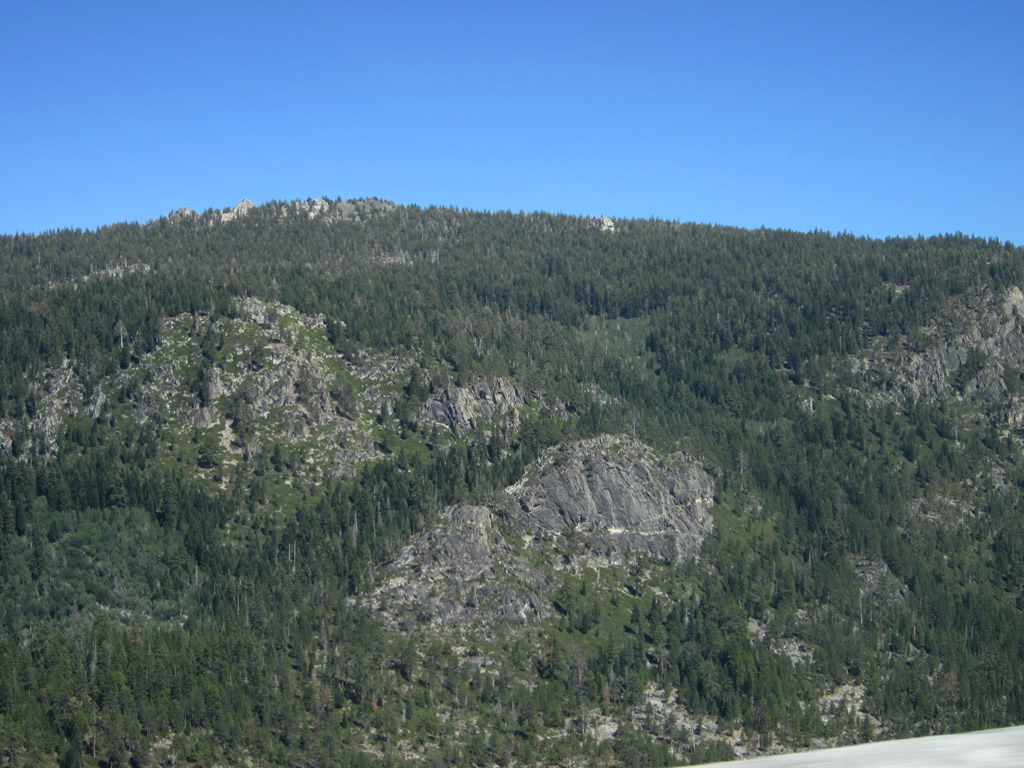
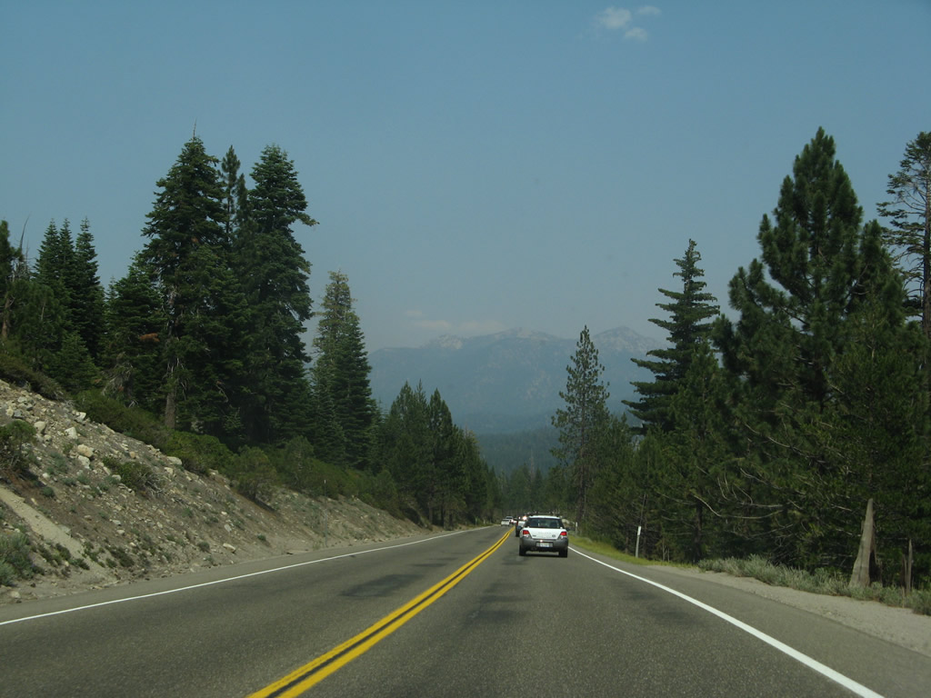
When reaching this elevation, U.S. 50 sees more tall pine and fir trees and less rolling grasslands as was common near El Dorado Hills. Photos taken 07/28/12. |
|
|
The eastbound lanes were repaved between 2007 and 2012. Photos taken 07/28/12 and 07/08/07. |
|
|
The next exit along U.S. 50 (El Dorado Freeway) east is Exit 60, El Dorado County E-16 (Sly Park Road) and U.S. 50 Alternate/Mormon Emigrant Trail (one mile) in Pollock Pines. Photos taken 07/28/12 and 07/08/07. |
|
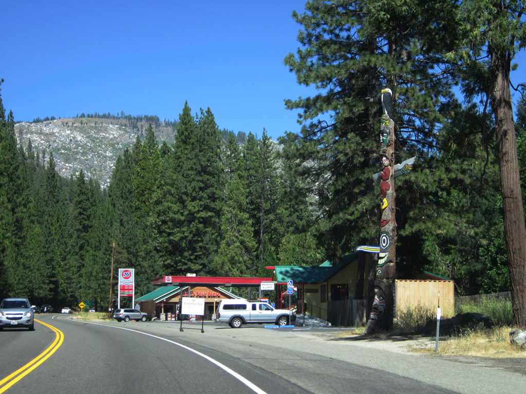
A blue motorist services sign contains the exit number and offers a selection of fuel and food in Pollock Pines. Photo taken 07/08/07. |
|
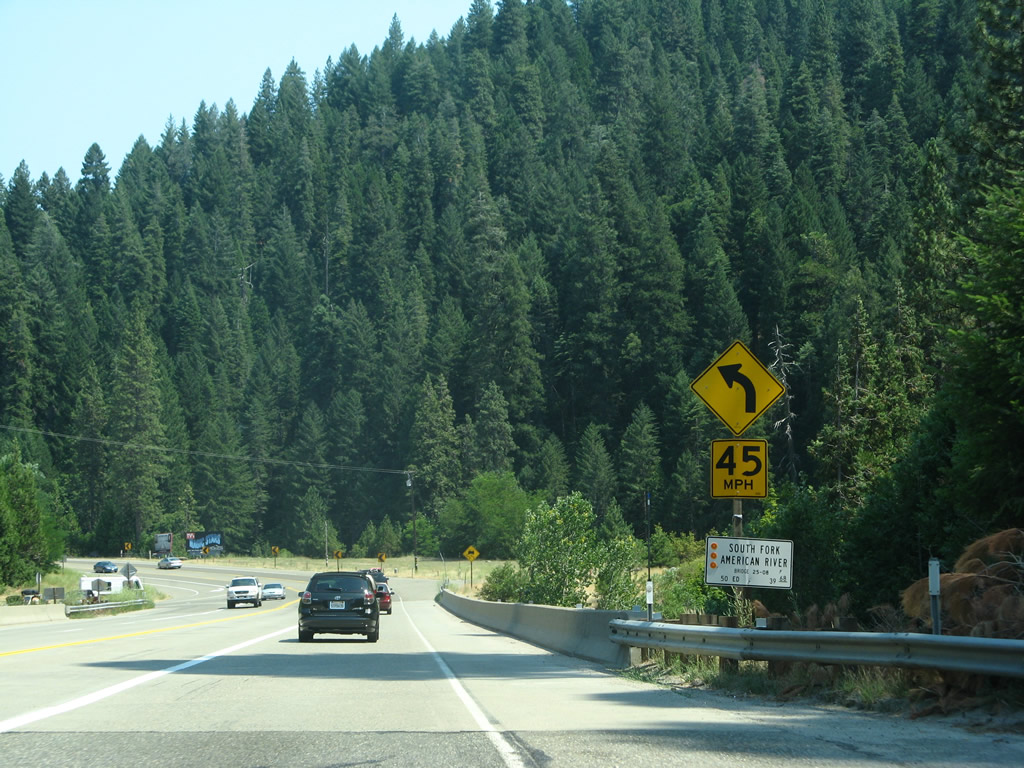
El Dorado County E-16 (Sly Park Road) travels southwest from this interchange in Pollock Pines to Plymouth, where the county route meets California 49. This interchange also serves as the western terminus of emergency U.S. 50 Alternate. This alternate route is signed during times when U.S. 50 in American River Canyon is closed. U.S. 50 Alternate travels south on Sly Park Road, then turns east on Mormon Emigrant Trail from Jenkinson Lake to California 88 near Carson Pass. From there, the alternate route travels east on California 88 and north on California 89 to return to U.S. 50 at Meyers. When U.S. 50 is operating under normal conditions, the alternate route is largely unsigned, with permanent signs covered and temporary signs erected along the route. Mormon Emigrant Trail specifically is a fairly narrow road with some curves and is not recommended for large, oversize vehicles. Photo taken 07/08/07. |
|
At Pollock Pines, we reach the truck terminal for eastbound U.S. 50. Trucks are not recommended over Echo Summit. Photo taken 07/08/07. |
|
Eastbound U.S. 50 (El Dorado Freeway) reaches Exit 60, El Dorado County E-16 (Sly Park Road) and former U.S. 50 Alternate. Photo taken 07/08/07. |
|
This pair of pictures shows the off-ramp from U.S. 50 east to El Dorado County E-16. Turn left for Sly Park Road north to Historic U.S. 50/Pony Express Trail in Pollock Pines. Most motorist services can be found there. Turn right for E-16/Sly Park Road south (U.S. 50 Alternate east). Photo taken 07/08/07. |
|
After Exit 60, the freeway ends for a final time. The rest of the route leading east through Strawberry to Echo Summit and down to Lake Tahoe is a conventional highway with two to four lanes. Photo taken 07/28/12. |
|
|
|
U.S. 50 narrows to two lanes for the first time. The ensuing stretch becomes more mountainous. First and second photo taken 07/28/12, third photo taken 07/08/07. |
|
Drivers along U.S. 50 east navigate through a switchbank. Speed limits will reduce through the mountainous, forested terrain ahead. Photo taken 07/28/12. |
|
U.S. 50 enters the unincorporated community of Fresh Pond. For the next several miles, U.S. 50 passes through beautiful mountain scenery. Only limited motorist services are available along U.S. 50 between Pollock Pines and Meyers via Echo Summit. Photo taken 07/08/07. |
|
The next major intersection along U.S. 50 east is with Old Carson Road west to Fresh Pond (el. 3,600 feet). Photo taken 07/08/07. |
|
The next left turn from U.S. 50 east is with Forest Road north to Mill Run. A National Forest Service Ranger Station is located here. Photo taken 07/08/07. |
|
Eastbound U.S. 50 approaches the turnoff to Peavine Ridge Road to Pacific House. Photo taken 07/08/07. |
|
The next intersection connects U.S. 50 with Peavine Ridge Road and Hazel Valley Road to the unincorporated community of Pacific. Photo taken 07/08/07. |
|
Eastbound U.S. 50 enters El Dorado National Forest. Photo taken 07/08/07. |
|
This mileage sign provides the distance to Kyburz (13 miles), Lake Tahoe (43 miles), and Carson City, Nevada (71 miles). This is the first sign to indicate the new control city of Carson City, which is the capital of the state of Nevada and is located at the junction of U.S. 50, U.S. 395, and Interstate 580. Photo taken 07/08/07. |
|
|
|
|
|
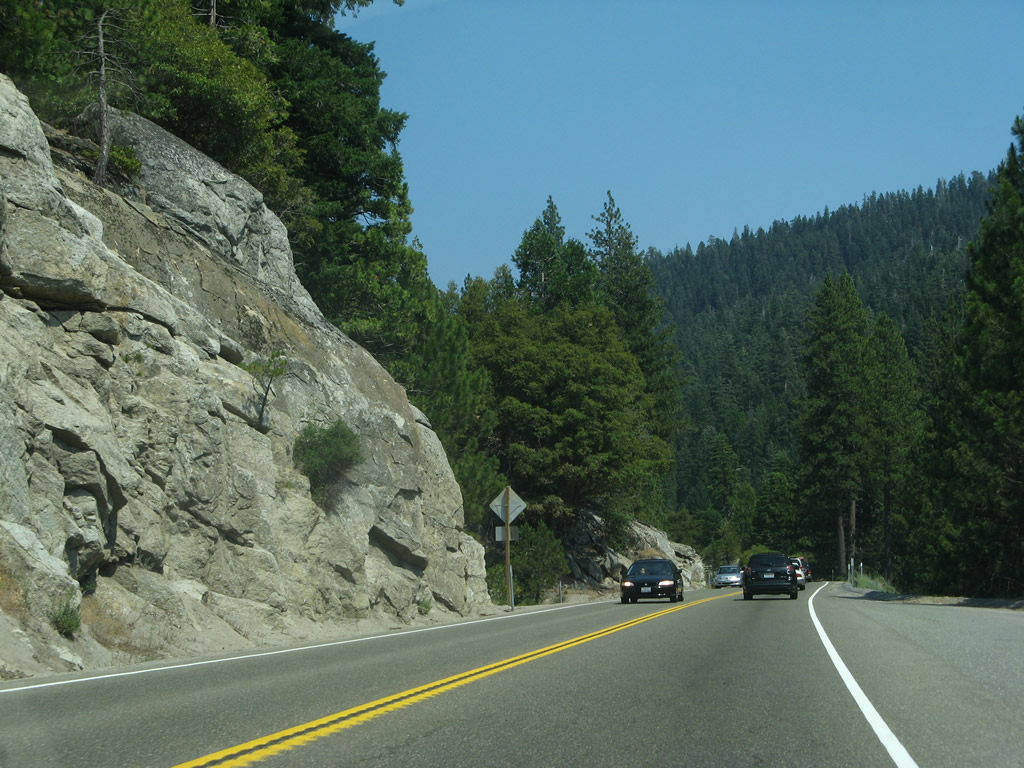
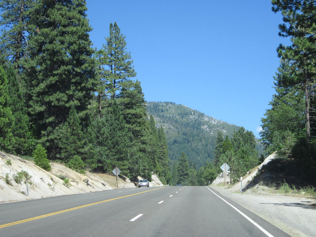
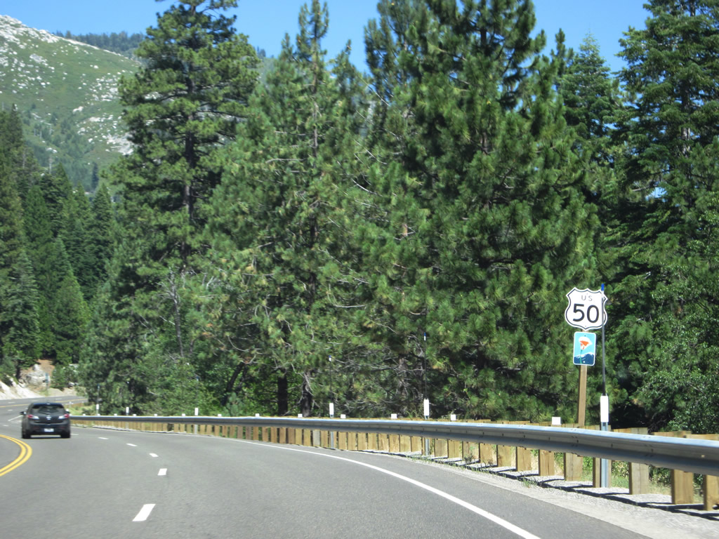
| U.S. 50 passes through El Dorado National Forest. Watch for slow moving traffic; this highway carries a great deal of traffic despite its narrow alignment, and some folks are in a hurry. This route follows the old Pony Express Trail through the Sierra Nevada toward Nevada. The last photo shows U.S. 50 east at Ice House Road to Crystal Basin Recreation Area. Look on the south side for Bridal Veil Falls, which are located next to a turnout off U.S. 50. Photos taken 07/08/07 and 07/28/12. |
|
|
|
|
|
|
U.S. 50 crosses over the South Fork of the American River. For the next several miles, U.S. 50 will follow the American River Canyon (between Pollock Pines and Strawberry. Photo taken 07/08/07. |
|
|
|
|
|
|
|
|
| U.S. 50 passes along the South Fork of the American River in El Dorado National Forest. Previous wildfires, such as the Angora Fire from July 2007, damaged trees and buildings in parts of the canyon. Photos taken 07/08/07 and 07/28/12. |
|
|
|
|
| U.S. 50 advances east to the unincorporated community of White Hall. Photos taken 07/08/07 and 07/28/12. |
|
|
|
|
|
|
|
|
|
|
|
|
| Continuing east, U.S. 50 travels through the forest alongside the American River. Some roadside businesses (restaurants, cabins, etc.) are found directly along the shoulder of U.S. 50. Photos taken 07/08/07 and 07/28/12. |
|
|
|
|
|
|
|
|
|
|
|
|
| Eastbound U.S. 50 approaches the unincorporated community of Silver Fork, which features vacation homes and a tourist economy based on traffic en route to Sierra at Tahoe Ski Resort and Lake Tahoe. A gas station is located alongside U.S. 50 in Silver Fork. In this set of pictures, we reach 4,000 feet and begin to see the crest of towering mountains that separate us from Lake Tahoe. Photos taken 07/08/07 and 07/28/12. |
|
|
|
|
| "Welcome to Kyburz ... now leaving Kyburz." Eastbound U.S. 50 enters the unincorporated community of Kyburz (population 167 as of the 2000 Census and elevation 4,058 feet) along the South Fork of the American River. Photos taken 07/08/07 and 07/28/12. |
|
|
Leaving Kyburz, a U.S. 50 east reassurance shield and scenic route marker are posted after the intersection with Silver Fork Road. The position of this sign changed somewhat between 2007 and 2012. Photos taken 07/08/07 and 07/28/12. |
|
|
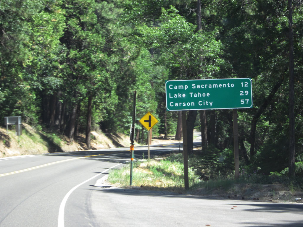
This mileage sign provides the distance to Camp Sacramento (12 miles), South Lake Tahoe (29 miles), and Carson City, Nevada (57 miles). This sign was replaced between 2007 and 2012. Photos taken 07/28/12 and 07/08/07. |
|
|
|
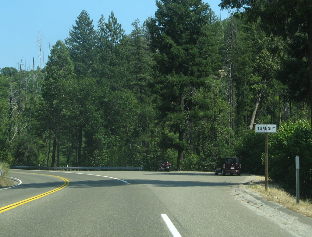
Use turnouts (wide spots in the road such as the one shown here) to let faster traffic pass. The first picture shows the advance sign for the turnout, while the second picture shows a nice section of empty, two-lane highway along U.S. 50. The final picture shows the actual turnout. Photos taken 07/28/12 and 07/08/07. |
|
|
|
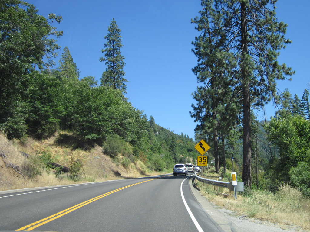
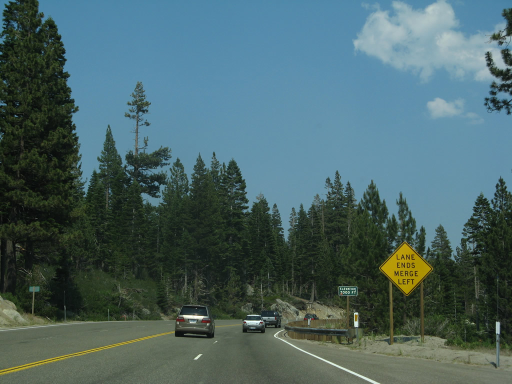
U.S. 50 continues to gain elevation as it approaches another set of passing lanes. Photos taken 07/28/12. |
|
|
|
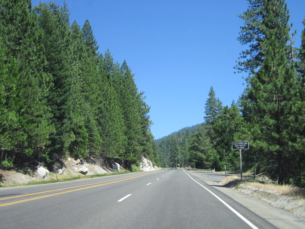
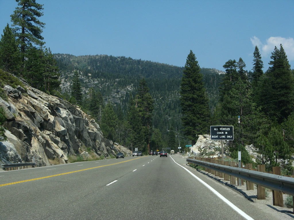
During winter storms, tire chains may be required for vehicles to cross over Echo Summit. The illuminated areas (such as the one seen ahead) are set up for chain installation and removal. Photos taken 07/28/12 and 07/08/07. |
|
|
|
U.S. 50 reaches an elevation of 5,000 feet, a great distance above the floor of the Sacramento Valley. Photos taken 07/28/12 and 07/08/07. |
|
|
|
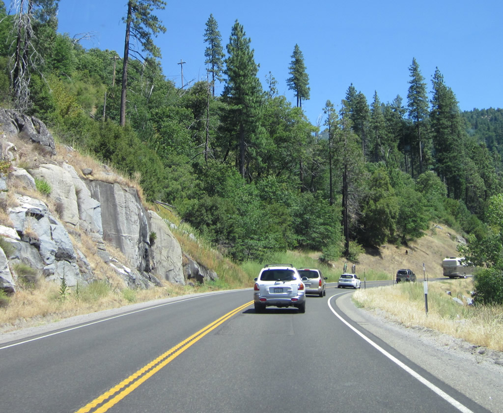
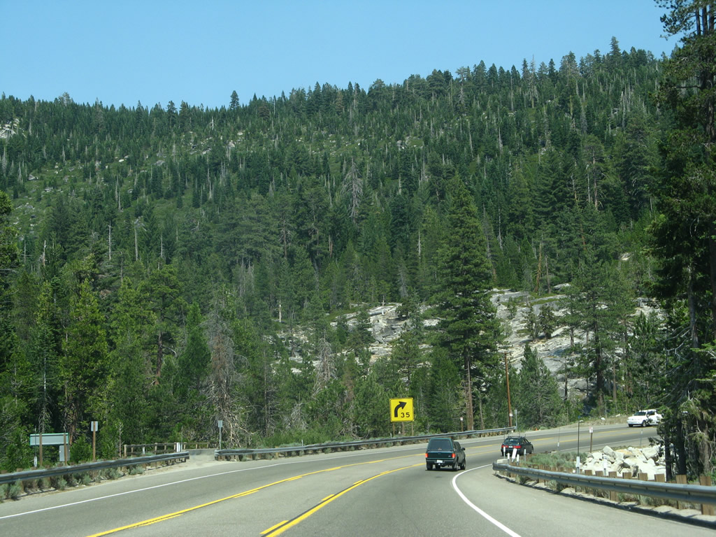
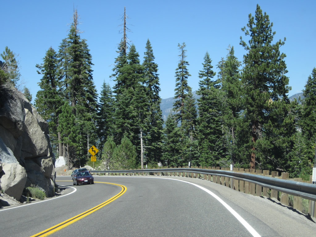
Walls of granite occasionally appear along the highway. Photos taken 07/28/12 and 07/08/07. |
|
Eastbound U.S. 50 approaches Wrights Road. Photo taken 07/08/07. |
|
|
|
|
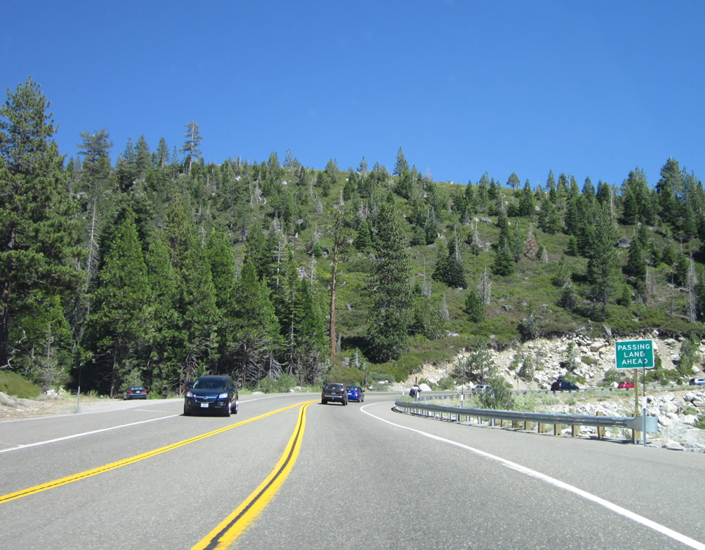
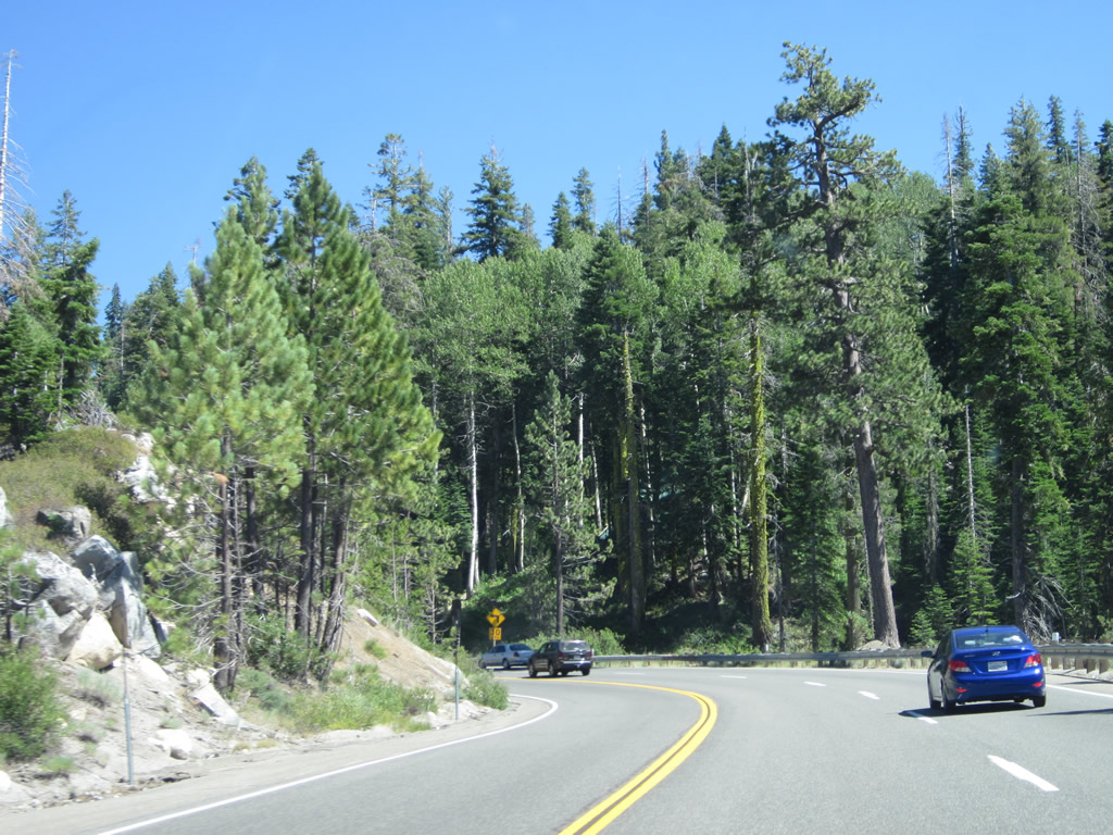
Additional passing lanes and more dramatic scenery follow U.S. 50 along the South Fork of the American River. Ahead, U.S. 50 will enter the unincorporated community of Strawberry. Photos taken 07/28/12 and 07/08/07. |
|
|
|
|
|
|
|
Eastbound U.S. 50 enters Strawberry (el. 5,800 feet). Photos taken 07/28/12 and 07/08/07. |
|
The historic Strawberry Lodge sits on the south side of U.S. 50. The lodge offers a rustic charm, with hiking trails and cross-country skiing nearby. Previously a Pony Express stop, the Strawberry Lodge was built around 1940 and is now a mountain resort. Photo taken 07/08/07. |
|
|
|
U.S. 50 reenters the forest, but it will soon gain significant elevation for the final distance to Echo Summit. Photos taken 07/28/12 and 07/08/07. |
|
This dynamic message sign warns of traffic and weather conditions over Echo Summit. While U.S. 50 is an all-weather route over the Sierra Nevada, tire chains may be required to improve traction, and during certain strong storms, the highway may close completely until plows can push the snow off the road and visibility has improved. Photo taken 07/08/07. |
|
|
U.S. 50 ascends to 6,000 feet. Photos taken 07/28/12 and 07/08/07. |
|
Another chain installation area is located on the right side of U.S. 50. Photo taken 07/08/07. |
|
Eastbound U.S. 50 next enters the unincorporated community of Twin Bridges (el. 6,115 feet) after the chain installation area. Look for a parking area on the left (north) side of U.S. 50 for a trail leading to Horsetail Falls, which can be seen from the highway. Photo taken 07/08/07. |
|
Leaving Twin Bridges, U.S. 50 begins its final, steep ascent toward Echo Summit, elevation 7,382 above sea level. Historically, U.S. 50 not only follows the old Pony Express route but also follows the southern Sierra Nevada branch of the Lincoln Highway. Look here for the Horsetail Falls parking area. This tall, cascading waterfall is a sight to see and a very popular weekend day hike. Photo taken 07/08/07. |
|
|
|
|
|
| Echo Summit separates Twin Bridges from Lake Tahoe. U.S. 50 will climb dramatically in the coming several miles, connect to Sierra-at-Tahoe Ski Resort, then descend in an equally dramatic fashion into the Tahoe Basin. Photos taken 07/18/12. |
|
|
|
|
|
|
U.S. 50 enters Camp Sacramento (el. 6,500 feet). Operated by the city of Sacramento, this campground offers vacation cabin rentals and a variety of activities. Photo taken 07/08/07. |
|
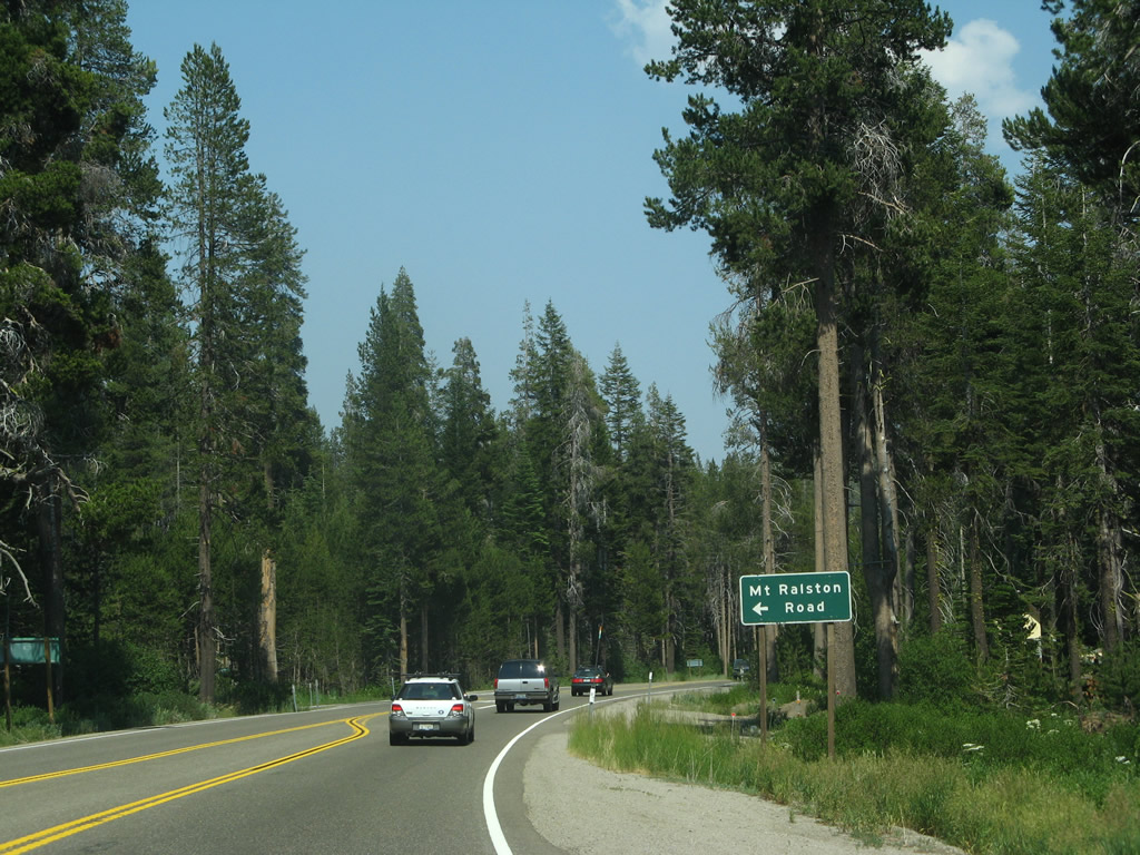
Eastbound U.S. 50 approaches Sierra Pines Road (next left). Sierra Pines Road, Mt. Ralston Road, and Tamarack Pines Road all serve the Camp Sacramento recreation area. Photo taken 07/08/07. |
|
Shortly thereafter, eastbound U.S. 50 approaches Mt. Ralston Road. Photo taken 07/08/07. |
|
Eastbound U.S. 50 approaches Tamarack Pines Road in Camp Sacramento. Photo taken 07/28/12. |
|
|
The ski resort closest to Echo Summit is Sierra at Tahoe ski area. Photos taken 07/08/07 and 07/28/12. |
|
|
At elevation 6,920 feet, U.S. 50 enters Phillips. Photos taken 07/08/07. |
|
|
|
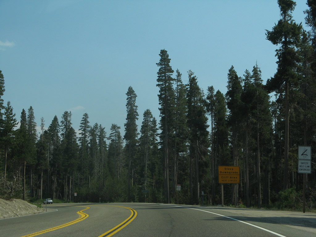
As smoke clouds linger on the horizon, eastbound U.S. 50 approaches Johnson Pass Road to Berkeley Camp and Echo Lake. A final set of passing lanes is available before reaching Echo Summit and beginning the descent into the Lake Tahoe Basin. Photos taken 07/08/07. |
|
U.S. 50 descends quickly along a mountain side against two cliffs toward the Upper Truckee River canyon. Photo taken 07/08/07. |
|
At 7,382 feet, U.S. 50 reaches its highest elevation in California. Echo Summit is the pinnacle for the most direct route between Sacramento and South Lake Tahoe, and it has a storied history as part of the Pony Express and Lincoln Highway. From here, it's all downhill to Lake Tahoe. Photo taken 07/08/07. |
|
Use the shoulder of the road as a brake test area. Photo taken 07/08/07. |
|
With a sharp turn, U.S. 50 begins its journey down toward Meyers and South Lake Tahoe. Photo taken 07/08/07. |
|
|
|
|
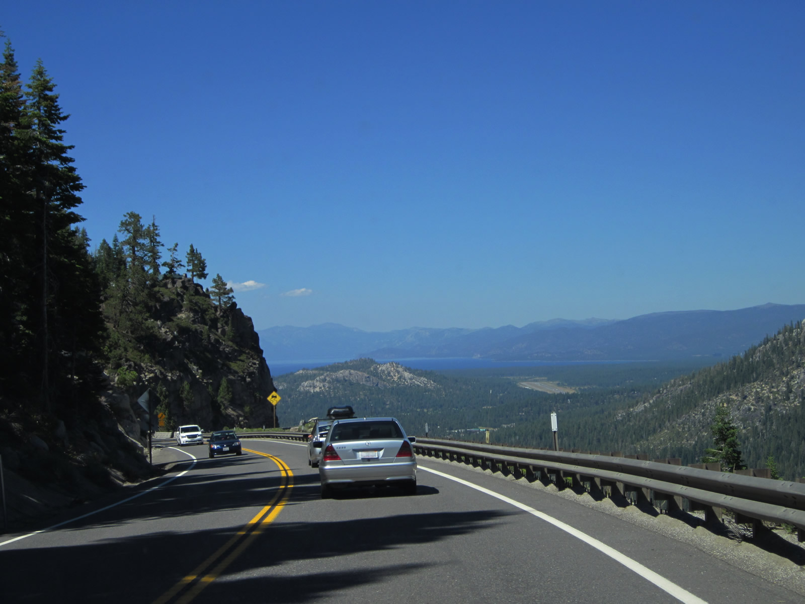
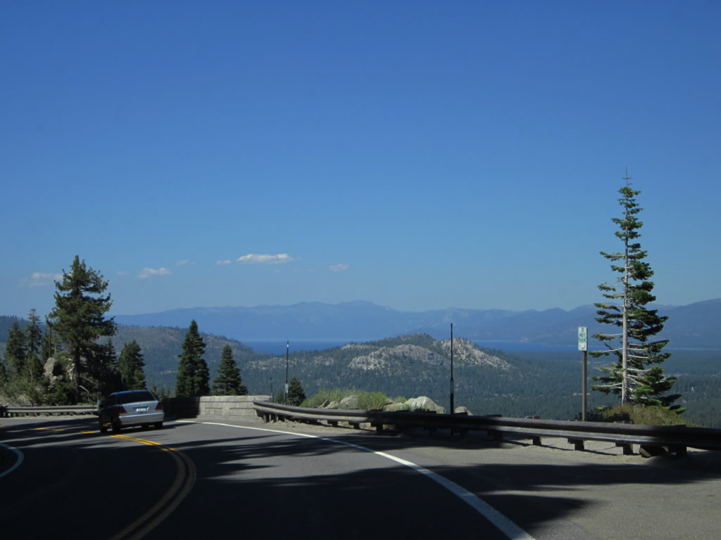
Lowering from Echo Summit into the Lake Tahoe Basin along U.S. 50 east. The highway hugs a steep cliff, with a sheer drop-off on the eastbound side of the road. In the distance, Lake Tahoe briefly comes into view in the distance until U.S. 50 lowers elevation. Several small scenic viewpoints are available alongside U.S. 50. A reconstruction project resulted in new railing alongside the highway. Photos taken 07/28/12. |
|
|
|
|
|
|
|
|
|
|
|
|
|
|
|
|
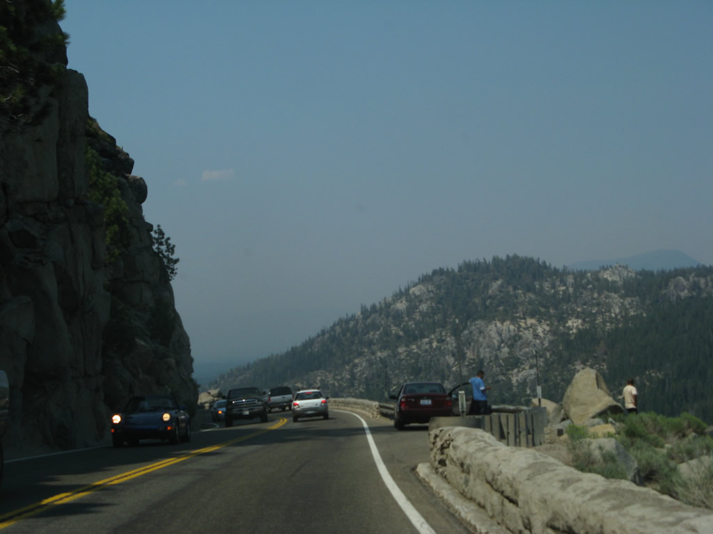
Returning to the top of the grade and now looking at the long ride downhill during 2007, U.S. 50 descends from Echo Summit to Lake Tahoe but this time with views obscured due to lingering smoke from the Angora Fire in July 2012. Lake Tahoe was not visible from U.S. 50 on this smoky, hazy day. As noted in the 2012 pictures, Lake Tahoe should have been visible at the top of the grade. Photos taken 07/08/07. |
|
|
|
|
|
|
|
|
|
Free of the treacherous cliff driving, U.S. 50 curves east and continues its descent toward South Lake Tahoe. Photo taken 07/28/12. |
|
This view is about two miles west of the California 89 junction along U.S. 50 east. Photo taken 07/28/12. |
|
The next major intersection along U.S. 50 east is with California 89 south to Woodfords and Markleeville, with connections to California 88 (Carson Pass), California 4 (Ebbetts Pass), and U.S. 395 south en route to Bishop. Photo taken 07/28/12. |
Page Updated September 3, 2012.