
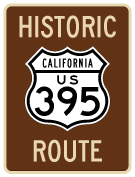
Historic U.S. 395 - San Diego County
| Historic U.S. 395 south | ||
|---|---|---|
 |
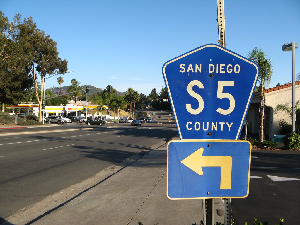 |
In Rancho Bernardo, Pomerado Road is designated as San Diego County S-5 between Interstate 15 and Rancho Bernardo Road. CR S-5 shifts from Pomerado Road to Rancho Bernardo Road as suggested by this trailblazer sign. Photos taken 06/19/08. |
 |
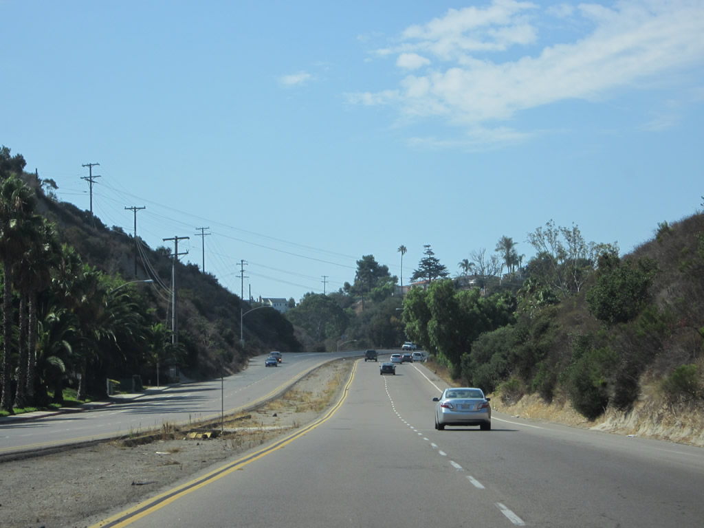
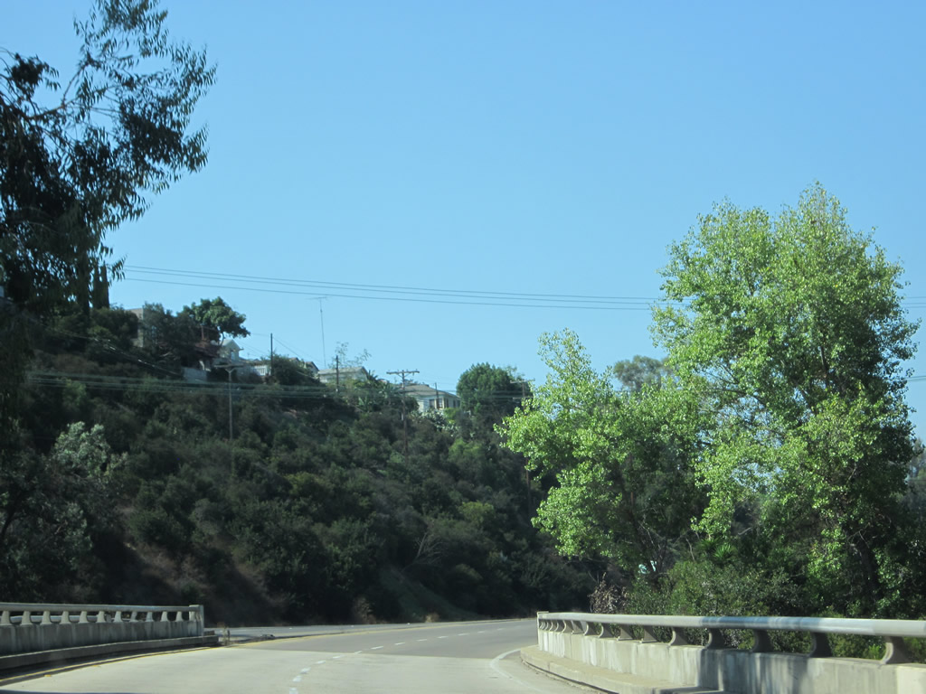
Historic U.S. 395 originally followed Pomerado Road from Lake Hodges in Rancho Bernardo south through Poway to Scripps Ranch. This view looks southwest along Pomerado Road as it passes through the eucalyptus woodlands in Scripps Ranch, which is part of the city of San Diego. A newer alignment of U.S. 395 between Rancho Bernardo and Scripps Ranch was built later to provide a more direct route; it was replaced by today's Interstate 15 corridor. Photo taken 10/11/10. |
 |
Leaving the eucalyptus woodlands in Scripps Ranch, Historic U.S. 395 approaches Interstate 15 (Escondido Freeway). Stay right for the connection to Interstate 15 north to Riverside or south to downtown San Diego. Pomerado Road is named for the communities along its route: Poway, Merton, and Esconidido. Merton is an old name for the post office located at the intersection of Pomerado Road and Poway Road in Poway. Photo taken 10/11/10. |
 |
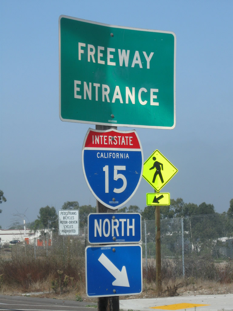
Pomerado Road west meets the on-ramp to Interstate 15 north (right exit). Photo taken 10/11/10. |
 |
 |
 |
This series of pictures shows the ramp configuration and signage for the connection from Pomerado Road west with Interstate 15 north. The bridge over Interstate 15 was modified in 2011 in conjunction with the Managed Express Lanes project. Photos taken 09/28/11. |
 |
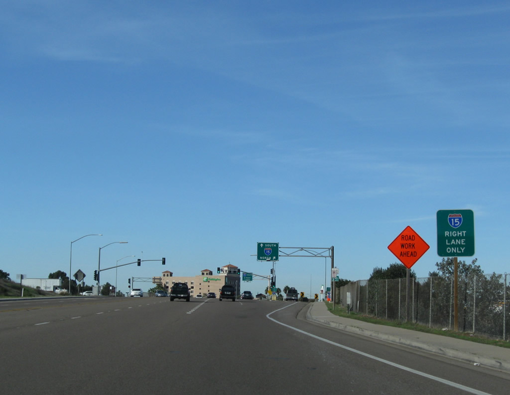
Preparing to cross over Interstate 15, the second right connects Historic U.S. 395/Pomerado Road with Interstate 15 south to downtown San Diego, National City, Chula Vista, and Tijuana. To continue on historic U.S. 395, continue west on Miramar Road, then turn left onto Kearny Villa Road south. Photo taken 10/11/10. |
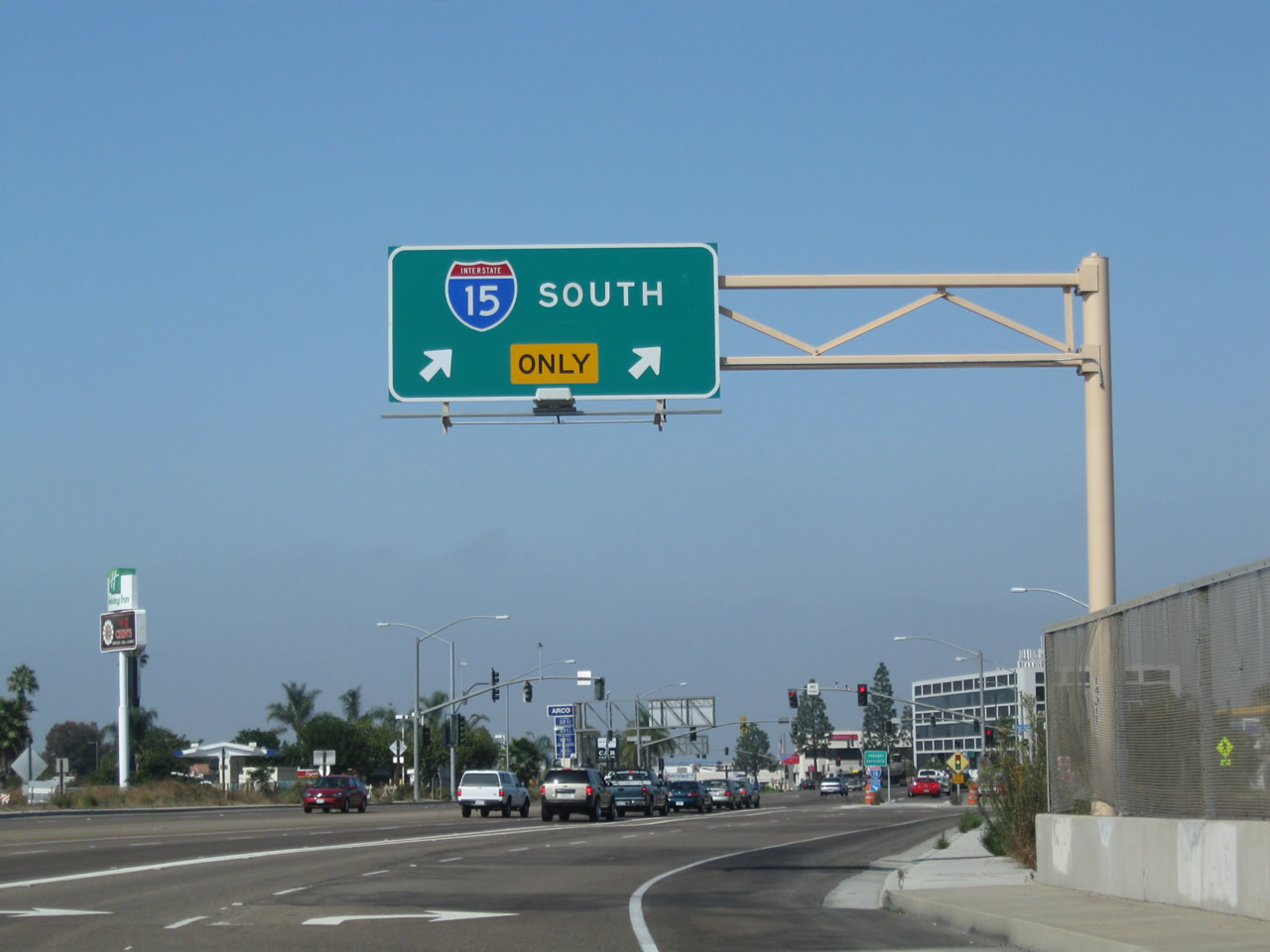 |
The right two lanes prepare to transition onto Interstate 15 south, while westbound Pomerado Road transitions onto Miramar Road. While the original pavement of old U.S. 395 is long gone in favor of the modern Interstate 15 interchange, it is easy to continue west to reconnect with the older alignment. Photo taken 09/28/11. |
 |
Westbound Pomerado Road and Miramar Road approach the two-lane on-ramp to Interstate 15 south. Photo taken 10/11/10. |
 |
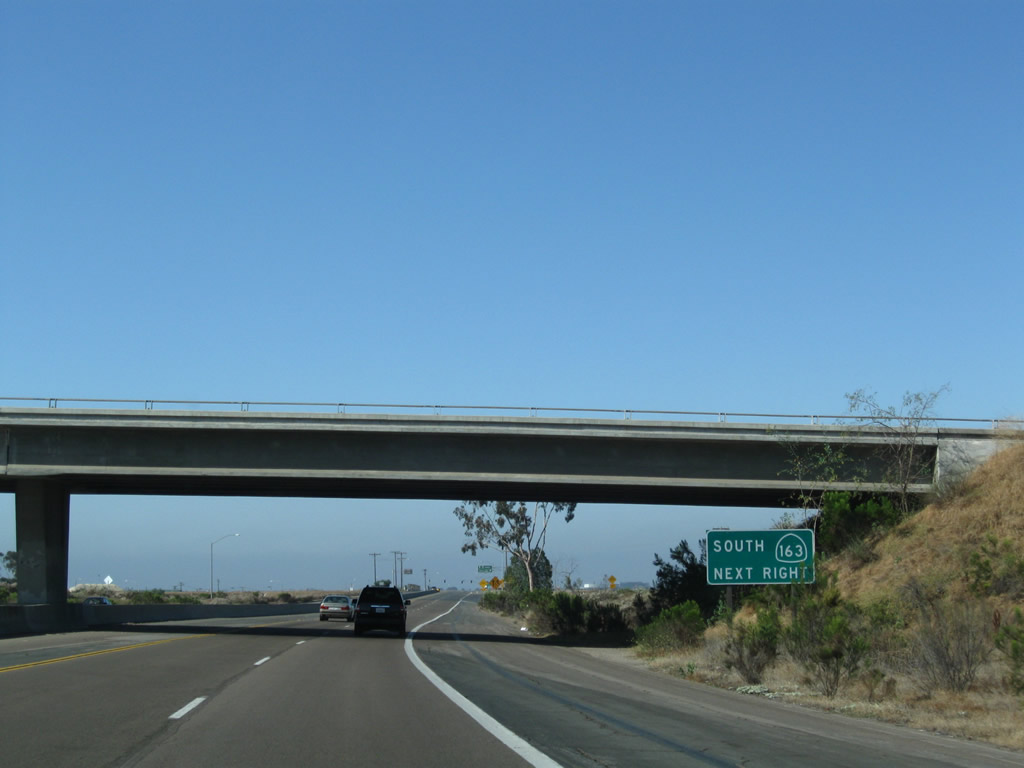
An extant section of U.S. 395 expressway passes through Miramar Marine Corps Air Station on a path parallel to Interstate 15. The expressway begins at California 163 (Cabrillo Freeway), has interchanges at Harris Plant Road and Miramar Way, and ends at Miramar Road in Mira Mesa. Here, southbound U.S. 395 (Kearny Villa Road) follows the expressway around the TRACON and then south toward California 163. Photo taken 10/08/05. |
 |
After Miramar Road, the Kearny Villa Road expressway bends around the Federal Highway Administration's TRACON. Photo taken 10/08/05. |
 |
The speed limit on this section of expressway is 65 miles per hour. Photo taken 06/27/09. |
 |
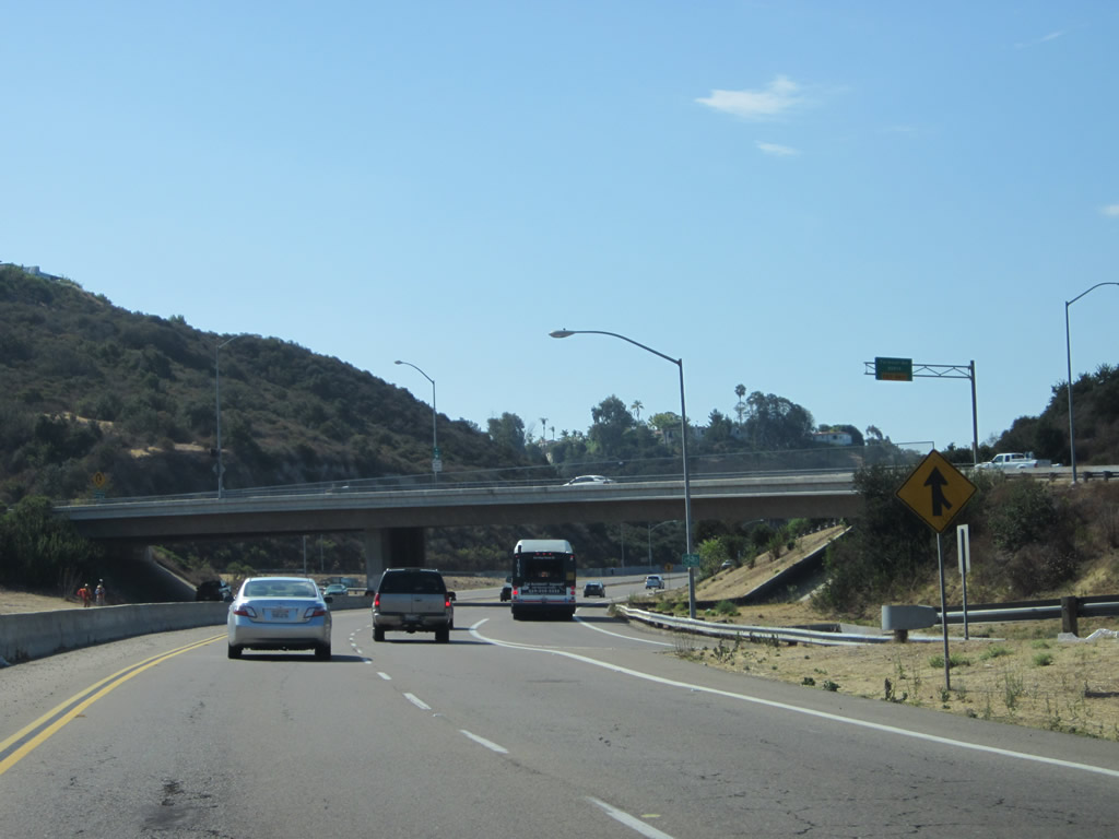
Bike lanes were added to Kearny Villa Road, making this unlike most expressways or freeways. Photo taken 06/27/09. |
 |
The first (unmarked) interchange along Kearny Villa Road south is with Miramar Way. Take Miramar Way east to Interstate 15. Photo taken 06/27/09. |
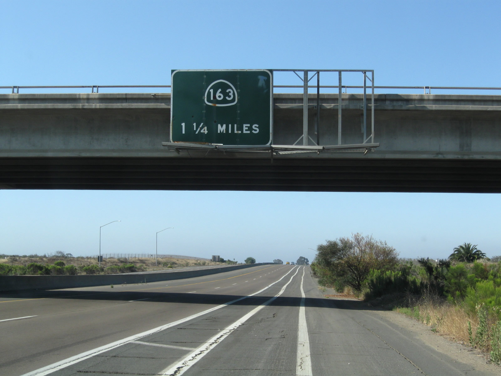 |
This sign advises of the California 163 interchange in 1.25 miles, but it omits the Harris Plant Road interchange. A porcelain enamel sign, this type of overhead sign is becoming increasingly rare in California as many comparable signs are replaced with reflective signs. Photo taken 06/27/09. |
 |
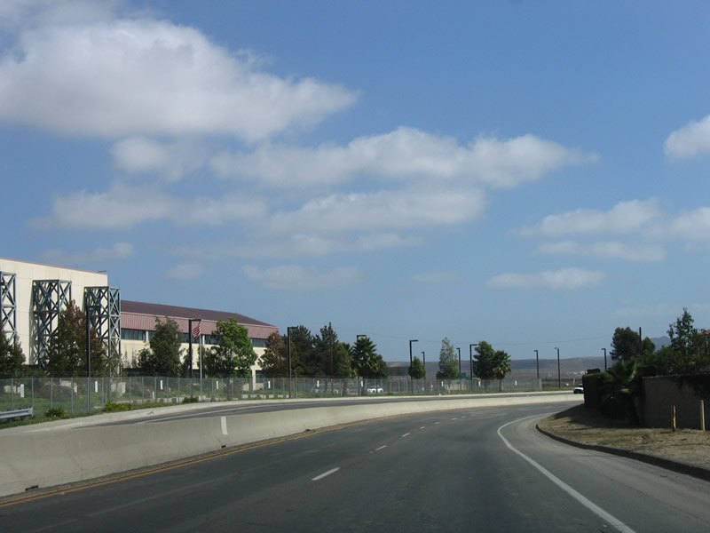
Kearny Villa Road passes through land owned by the Marine Corps Air Station - Miramar. Photo taken 06/27/09. |
 |
A road with a narrow footprint, the median is a concrete barrier (K-rail), with limited shoulders. Photo taken 06/27/09. |
 |
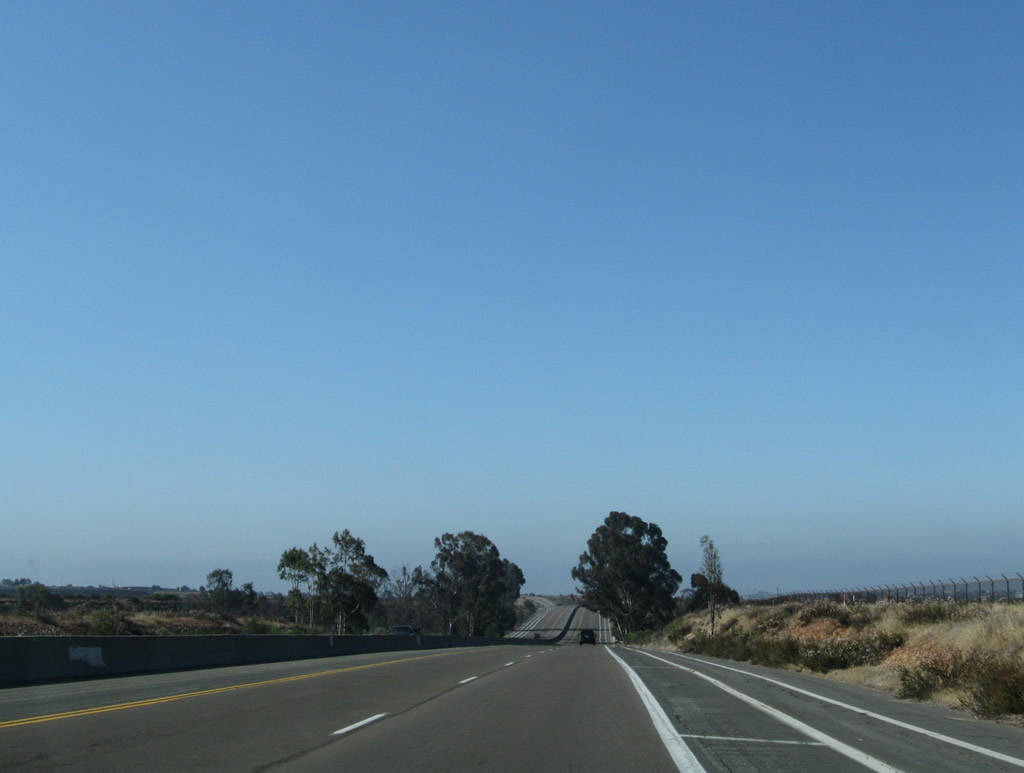
At this older bridge, some eucalyptus trees rise above an otherwise scrub landscape. Photo taken 06/27/09. |
 |
Southbound Kearny Villa Road reaches Harris Plant Road. Photo taken 06/27/09. |
 |
The next exit along southbound is for south California 163 (Cabrillo Freeway). Photo taken 06/27/09. |
 |
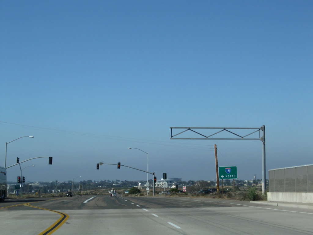
This interchange connects with southbound California 163 and northbound Interstate 15. To southbound Interstate 15, use California 52 west. Kearny Villa Road enters the community of Kearny Mesa in the city of San Diego. Photo taken 06/27/09. |
 |
A California 163 south freeway entrance shield is posted soon thereafter. Photo taken 06/27/09. |
 |
Soon thereafter we find a second California 163 south freeway entrance shield. Kearny Villa Road then passes over California 163 (Cabrillo Freeway). Photo taken 06/27/09. |
 |
The next left connects Kearny Villa Road south with California 163 north to Interstate 15 north to Escondido and Riverside. Photo taken 06/27/09. |
 |
Leaving the Interstate 8 (Kumeyaay Highway) interchange, southbound Fairmount Avenue proceeds as a near-freeway as it meets an off-ramp to Camino del Rio South west followed by a second off-ramp to Montezuma Road east. Photo taken 08/29/12. |
 |
Southbound Fairmount Avenue next reaches the off-ramp to Montezuma Road east. Use this two-lane exit to follow Montezuma Road east to San Diego State University. Photo taken 08/29/12. |
 |
The interchange between Fairmount Avenue and Montezuma Road is a trumpet interchange. Photo taken 08/29/12. |
 |
After passing under the Montezuma Road overpass, southbound Fairmount Avenue proceeds uphill toward Talmadge, Kensington, and City Heights (all neighborhoods of the city of San Diego). Photo taken 08/29/12. |
 |
The next and final off-ramp from southbound Fairmount Avenue will be with Aldine Drive, which travels east into Talmadge and west into Kensington. This half diamond interchange only offers access to Aldine Drive from southbound Fairmount Avenue. There is no access from Aldine Drive back onto Fairmount Avenue southbound. Photo taken 08/29/12. |
 |
This view looks south along Talmadge Canyon as Fairmount Avenue continues uphill. Photo taken 08/29/12. |
 |
Southbound Fairmount Avenue meets Aldine Drive at this off-ramp. Photo taken 08/29/12. |
 |
Fairmount Avenue passes over Aldine Drive on this bridge. Photo taken 08/29/12. |
 |
Turning southwest, Fairmount Avenue will continue as an expressway for a short distance longer, then revert to a city street. Photo taken 08/29/12. |
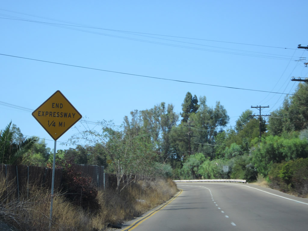 |
The Fairmount Avenue expressway ends in about one-quarter mile. Photo taken 08/29/12. |
 |
The speed limit sharply reduces as the southbound lanes of Fairmount Avenue directly transition onto 43rd Street southbound. Photo taken 08/29/12. |
 |
Reaching the end of the expressway, southbound 43rd Street/Fairmount Avenue approaches Meade Avenue. Photo taken 08/29/12. |
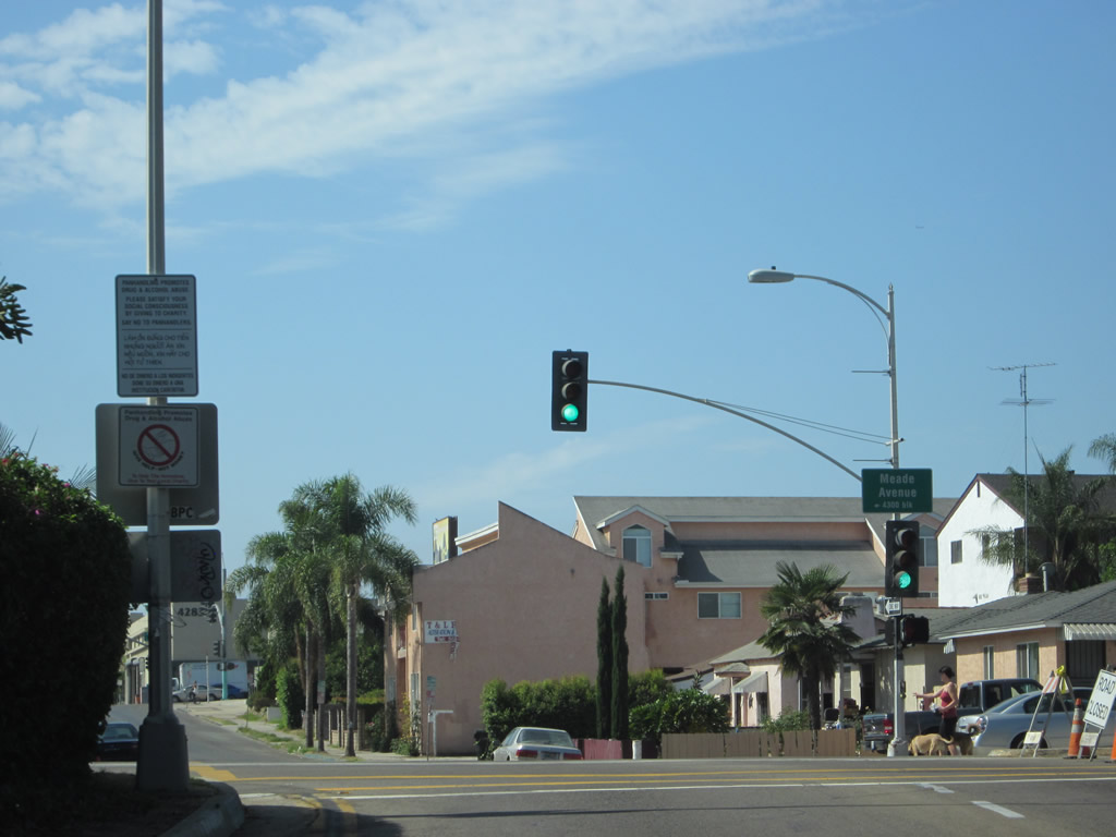 |
Southbound 43rd Street meets Meade Avenue at this traffic signal. Photo taken 08/29/12. |
 |
One block after Meade Avenue, southbound 43rd Street will meet El Cajon Boulevard (Historic U.S. 80 and Business Loop I-8). Photo taken 08/29/12. |


Page Updated September 6, 2012.
|
About Contact Glossary |
In The News Testimonials Interstate Guide |
Social Media:
 |
|
© 2000-23 AARoads.com | All Rights Reserved | Privacy Policy / Terms of Use
|
||