| Historic U.S. 466 west |
|
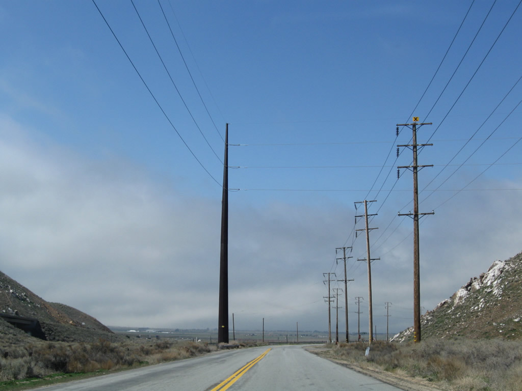
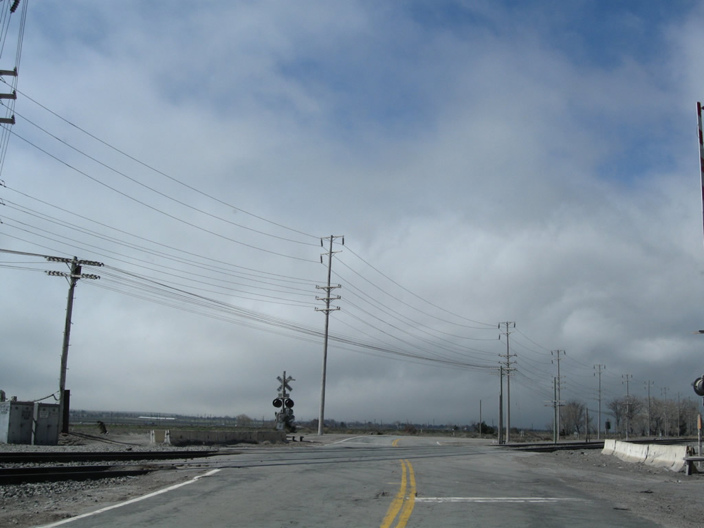
A fairly long, extant section of old U.S. 466 begins at the dead end of Tehachapi Boulevard east of Monitor and east of the Sand Canyon Road interchange with California 58. Power lines have been strung across this valley due to the increased demand for wind power throughout Southern California. Photo taken 03/15/09. |
|
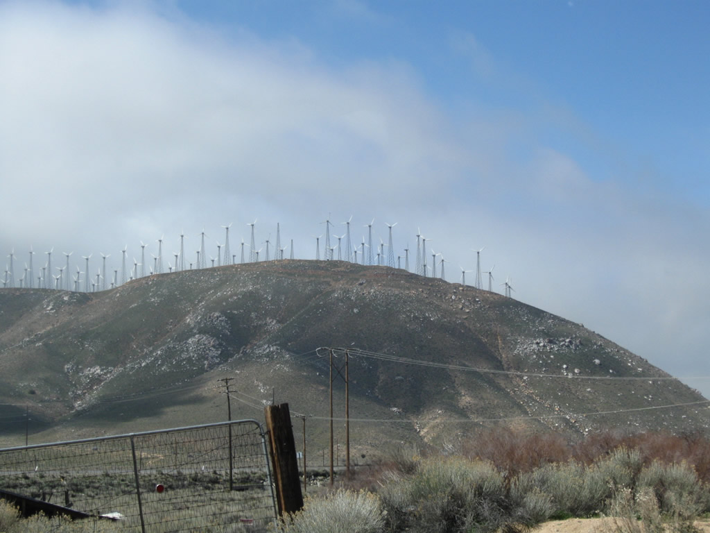
Looking south from old U.S. 466 and across the adjacent California 58 freeway is a hill covered in wind turbines, which generate power for customers across California. More demand for renewable power has brought additional turbines and more power lines to the Tehachapi Pass area. Photo taken 03/15/09. |
|
|
|
This series of pictures follows westbound Historic U.S. 466 (Tehachapi Boulevard) from the dead end to the Sand Canyon Road turnoff (left turn to connect to California 58). Photos taken 03/15/09. |
|
|
|
|
|
|
Westbound Historic U.S. 466 (Tehachapi Boulevard) proceeds on its own alignment, passing by a turnoff to the local landfill. Photos taken 03/15/09. |
|
|
|
|
|
|
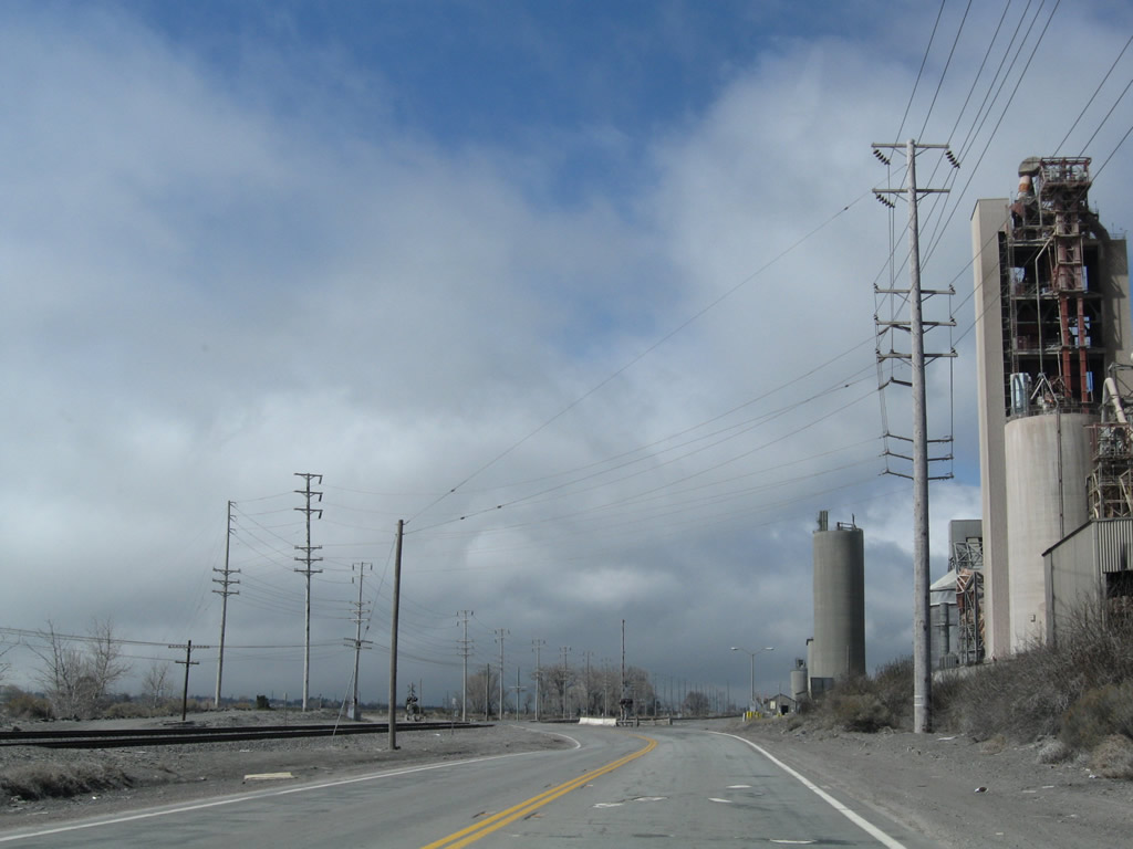
Old U.S. 466 passes by a large mining operation near Monitor. This facility includes a large dust containment dome due to the strong winds of this area. Photos taken 03/15/09. |
|
|
|
|
|
|
|
|
|
Passing by the mining operation, Historic U.S. 466 proceeds west into the city of Tehachapi is located at Tehachapi Pass at the highest point of California 58. The city was incorporated in 1909 and had a population of 10,957 people as of the 2000 Census. Most motorist services are available in Tehachapi. One of the largest employers in the city is the California Correctional Facility located at the end of California 202. Photos taken 03/15/09. |
|
Westbound Historic U.S. 466 approaches California 58 as the old alignment continues into town on a path parallel to the Union Pacific Railroad. The first left turn connects to California 58 west to Bakersfield. Photo taken 03/15/09. |
| Historic U.S. 466 & California 58 Business west |
|
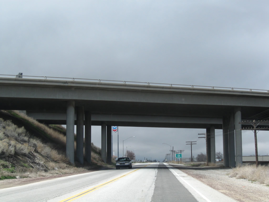
Historic U.S. 466 and the Union Pacific Railroad pass under the California 58 freeway. Photo taken 03/15/09. |
|
The second left from Historic U.S. 466 (Tehachapi Boulevard) connects to California 58 east to Mojave. Continue straight ahead to follow U.S. 466 and California 58 Business into Tehachapi. Photo taken 03/15/09. |
|
Westbound Historic U.S. 466 (Tehachapi Boulevard) and California 58 Business proceed west toward downtown Tehachapi. Photo taken 03/15/09. |
|
Historic U.S. 466 (Tehachapi Boulevard) passes a four-way stop at Dennison Road, and then passes by development on the south side of the highway. The railroad remains parallel to the old road. Photo taken 03/15/09. |
|
Entering downtown Tehachapi, a restored water tower on the north side of old U.S. 466 and California 58 Business has a mural of a train. Photo taken 03/15/09. |
|
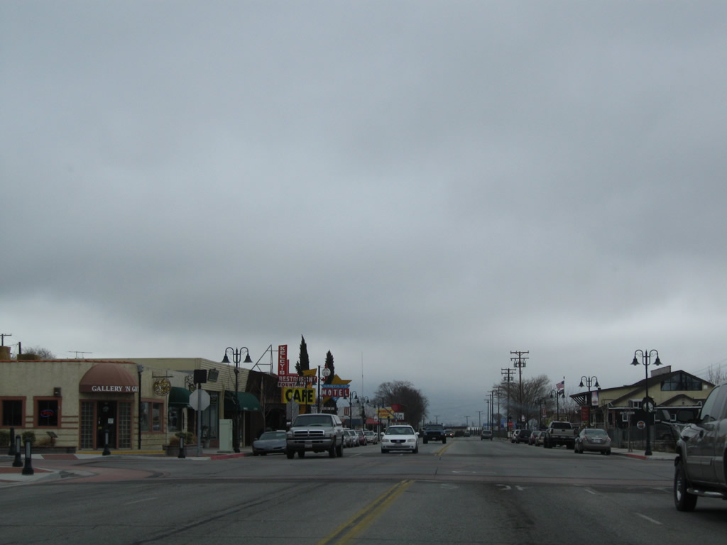
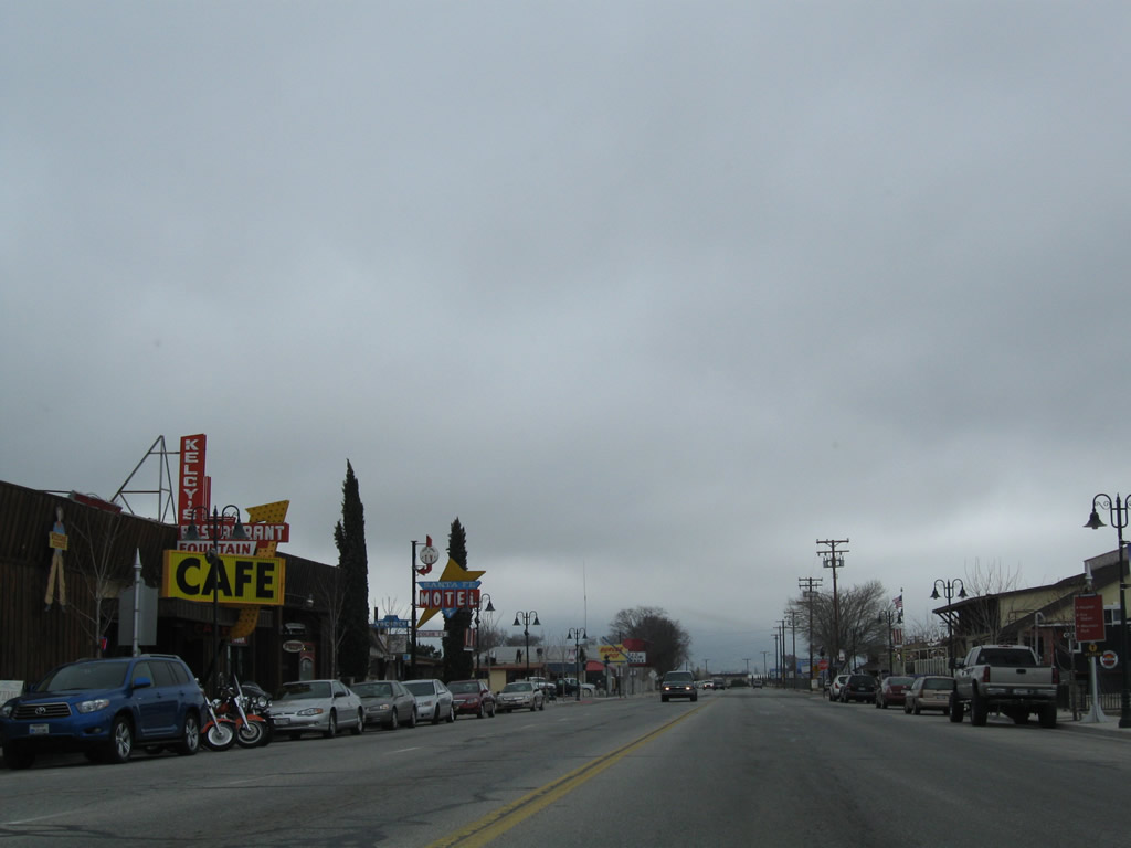
Businesses line both sides of Historic U.S. 466 (Tehachapi Boulevard) in downtown Tehachapi. The highway widens out briefly to four lanes. Photo taken 03/15/09. |
|
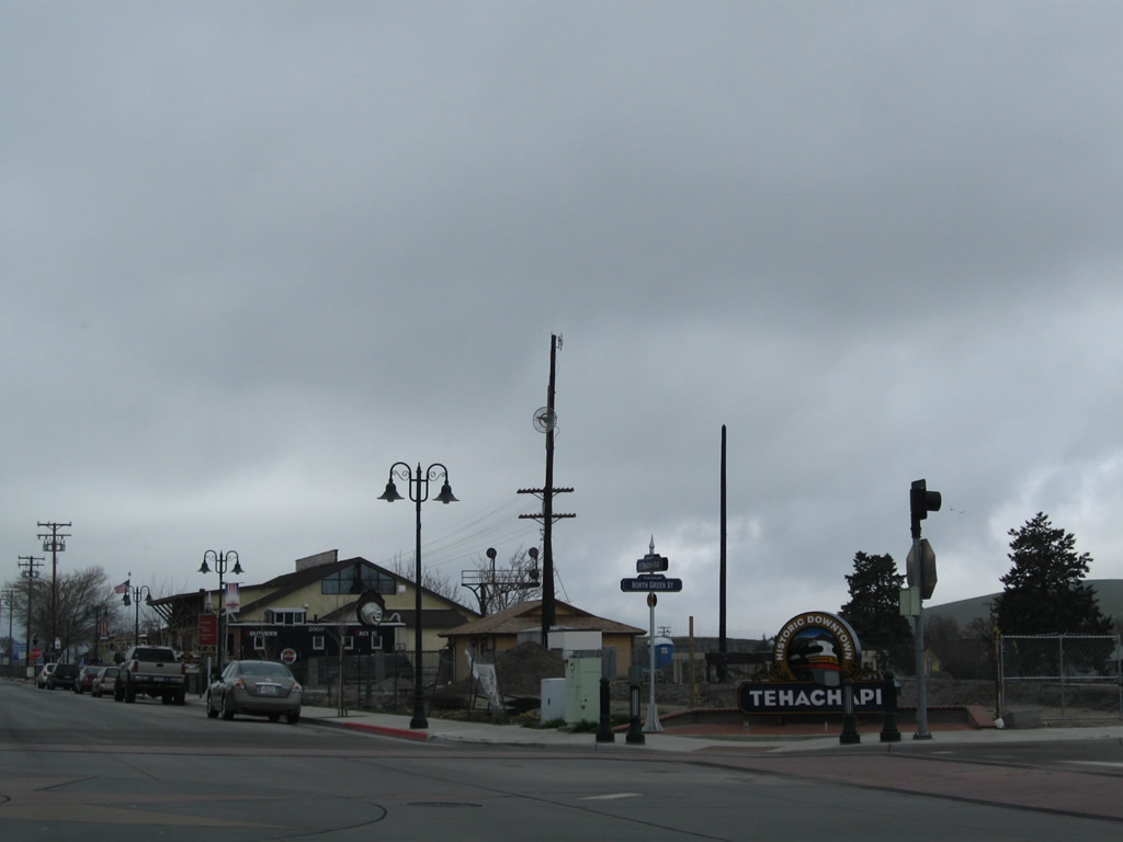
At the intersection of Green Street and Historic U.S. 466 (Tehachapi Boulevard) is this downtown Tehachapi monument sign. Photo taken 03/15/09. |
|
More motels and restaurants line both sides of Historic U.S. 466 (Tehachapi Boulevard). Photo taken 03/15/09. |
|
The historic rail depot is located on the north side of Historic U.S. 466 (Tehachapi Boulevard) at the intersection of Curry Street. Photo taken 03/15/09. |
|
Westbound Historic U.S. 466 (Tehachapi Boulevard) meets Curry Street (former California 202) at this stop sign. In the city of Tehachapi, California 202 saw a realignment with the construction of Tucker Road to state highway standards. Originally California 202 began in downtown Tehachapi at the intersection of Curry Street and Tehachapi Boulevard. When the California 58 freeway bypass was built, California 202 started at its current interchange with California 58, then turned east along West Tehachapi Boulevard into to downtown Tehachapi, turned south on Curry Street, and then turned west on Cummings Valley Road. With the construction of Tucker Road, California 202 no longer entered downtown Tehachapi and avoided a circuitous route. Photo taken 03/15/09. |
| Historic U.S. 466 west |
|
Leaving western Tehachapi, U.S. 466 followed Woodford-Tehachapi Road north and then west through the foothills toward the Tehachapi Loop and the unincorporated community of Keene. Photo taken 03/15/09. |
|
Woodford-Tehachapi Road passes through pastoral areas and some suburban style homes. Photo taken 03/15/09. |
|
A motel that was originally on the main road out of town is now marginalized on a secondary route that few know used to be U.S. 466. Photo taken 03/15/09. |
|
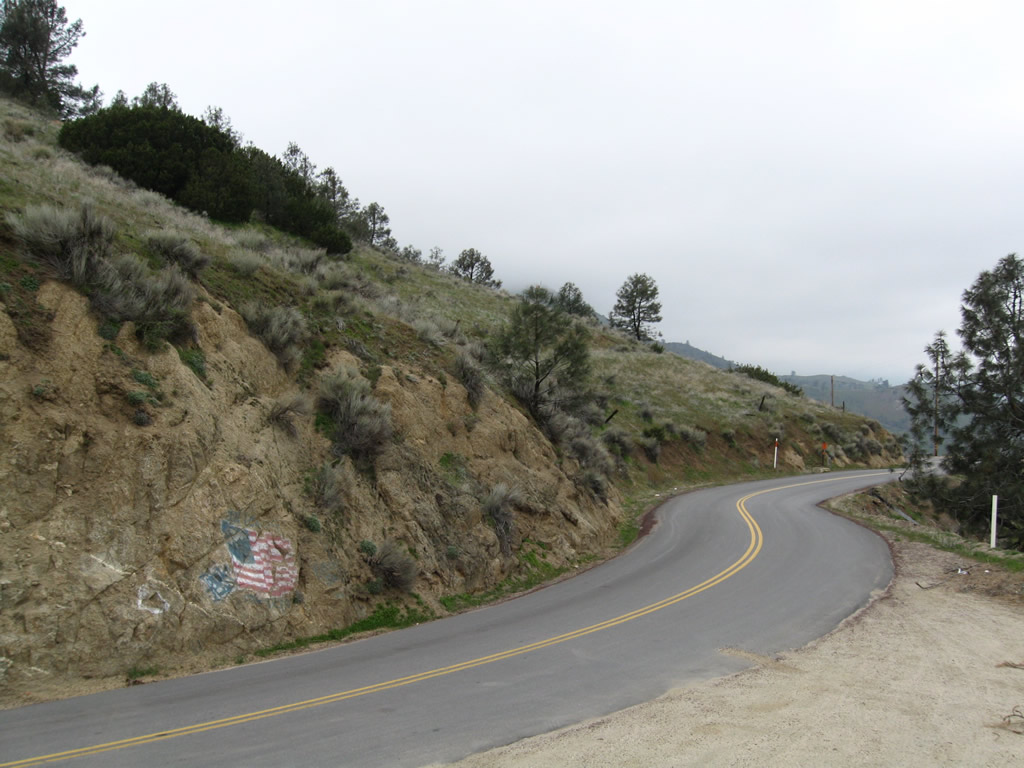
Two miles ahead, Woodford-Tehachapi Road will enter a very winding, curvaceous route. Trucks are not advised. Photo taken 03/15/09. |
|
|
|
|
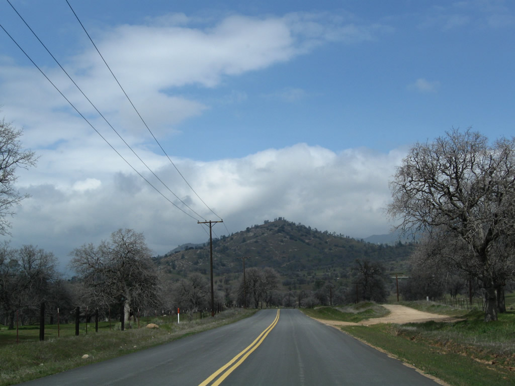
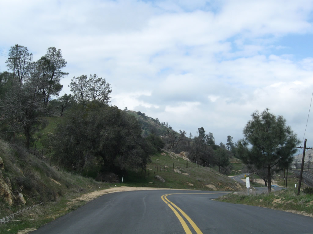
Houses become more sparse as the highway leaves Tehachapi and proceeds into a downgrade toward Keene. The old route follows a ridge above the modern California 58 freeway. At the end of this sequence, Historic U.S. 466 approaches the Tehachapi Loop, an engineering marvel where the nearby Union Pacific Railroad crosses over itself in order to achieve a manageable grade from Tehachapi Pass. Photos taken 03/15/09. |
|
|
|
|
|
|
|
|
|
|
|
|
|
A small parking area is available on the south side of old U.S. 466 for viewing of the Tehachapi Loop. Photo taken 03/15/09. |
|
Two markers are posted for the Tehachapi Loop. This is the older of the two markers. Photo taken 03/15/09. |
|
The second marker is newer and a bit easier to read. Photo taken 03/15/09. |
|
Looking north from old U.S. 466 is this view of the Tehachapi Loop. The rail curves around in a nearly perfect circle. The grade separation between the two levels of rail is not visible from the viewing area, but the grade enables trains to make it up a grade that would otherwise be too steep. Photo taken 03/15/09. |
|
Historic U.S. 466 continues west along its narrow, two-lane alignment. Photo taken 03/15/09. |
|
Westbound Historic U.S. 466 flattens out and approaches Keene Ranch. Photo taken 03/15/09. |
|
|
|
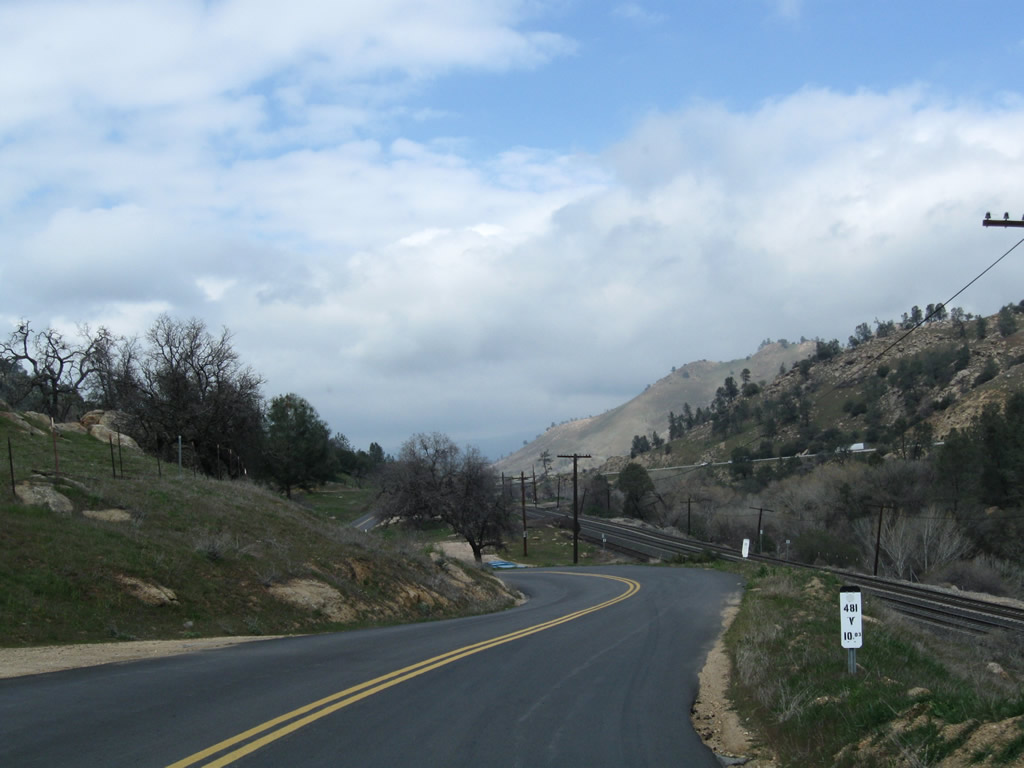
Historic U.S. 466 eventually nears and parallels the railroad for the first time since leaving downtown Tehachapi. The road continues to stay close to the original contours of the landscape rather than moving through the area with large cuts and fills. Photos taken 03/15/09. |
|
|
|
|
|
|
|
Westbound Historic U.S. 466 passes under the California 58 freeway and proceeds into Keene. Photo taken 03/15/09. |
|
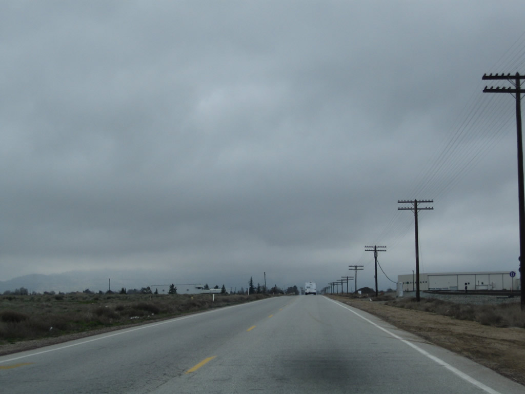
Historic U.S. 466 enters Keene. Located in the western foothills below Tehachapi Pass, the unincorporated community of Keene is located along the railroad near the Tehachapi Loop. The population was 339 people as of the 2000 Census and the community is located at 2,602 feet. Use Exit 139 to the National Cesar E. Chavez Center (headquarters of the United Farm Workers, a labor union) in Keene. A visitors center and memorial garden are located at the center. Photo taken 03/15/09. |
|
A restaurant and deli is located on the north side of old U.S. 466. On the south is the pending junction with California 58 at the Keene interchange. Photo taken 03/15/09. |
|
Turn left to reconnect to the California 58 freeway. Old U.S. 466 is discontinuous between here and Caliente, so continue west on California 58 to travel more miles of old U.S. 466. Photo taken 03/15/09. |
|
Old U.S. 466 comes to a dead end after the connecting road to California 58. Photo taken 03/15/09. |
|
The connector road between old U.S. 466 and California 58 is very short. Turn right to California 58 west to Bakersfield or left to California 58 east to Tehachapi, Mojave, and Barstow. Photo taken 03/15/09. |
Page Updated September 12, 2009.