| Historic U.S. 466 west |
|
Leaving California 58, northbound Bealeville Road travels downhill toward the unincorporated community of Caliente. One of the earliest iterations of U.S. 466 followed Bealeville Road north to Caliente-Bodfish Road west. Photo taken 03/15/09. |
|
Oak trees dominate the grassy foothills. Photo taken 03/15/09. |
|
Northbound Bealeville Road approaches the Union Pacific Railroad. The Tehachapi Loop is only a few miles east of here. Photo taken 03/15/09. |
|
A small sign invites motorists to take Bealeville Road and Caliente Bodfish Road north into the mountains north of Caliente. Photo taken 03/15/09. |
|
|
|
|
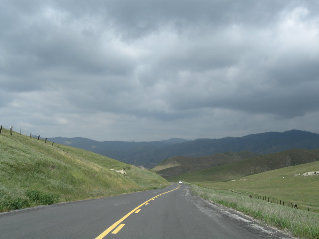
Bealeville Road descends toward Caliente. At Caliente Bodfish Road, turn west to follow old U.S. 466 toward Bakersfield. Photo taken 03/15/09. |
|
Northbound Bealeville Road passes under the Union Pacific Railroad subway near Caliente prior to the intersection with Caliente Bodfish Road. The railroad takes long, broad strokes to ensure a steady grade for trains traveling uphill to Tehachapi. So yes, this is the same train tracks we passed at the top of the grade. Photo taken 03/15/09. |
|
Ahead, northbound Bealeville Road approaches Caliente Bodfish Road. Historic U.S. 466 turns west at this point. To Caliente, continue toward the right. Photo taken 03/15/09. |
|
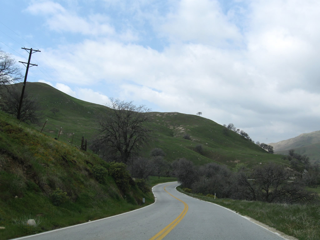
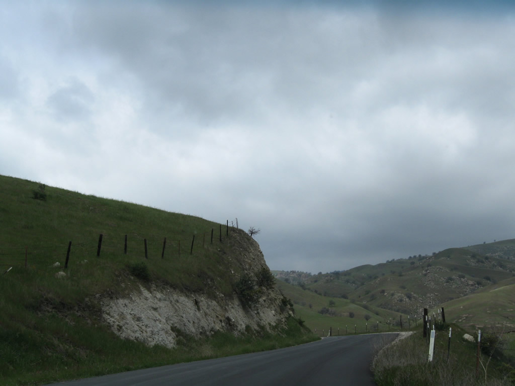
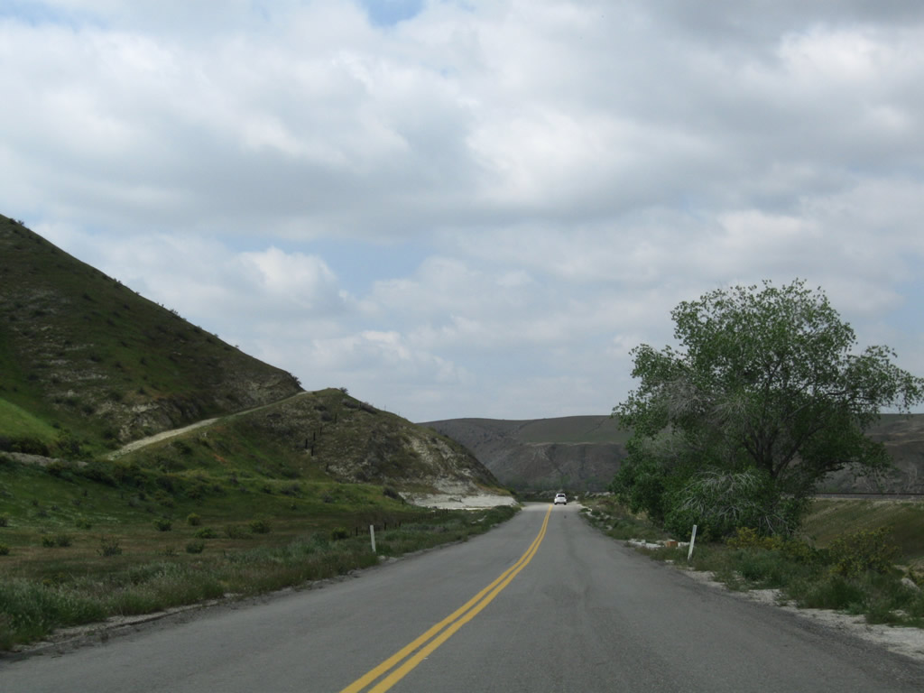
Caliente Bodfish Road has no centerline striping and passes through ranches and farms en route toward Bena Road. Photo taken 03/15/09. |
|
|
|
|
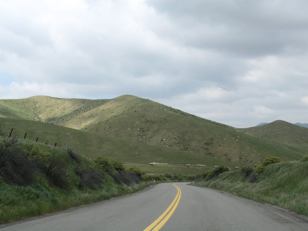
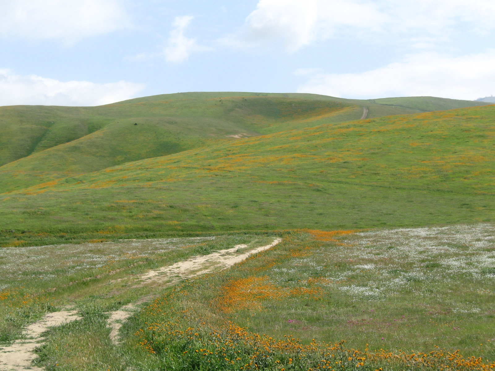
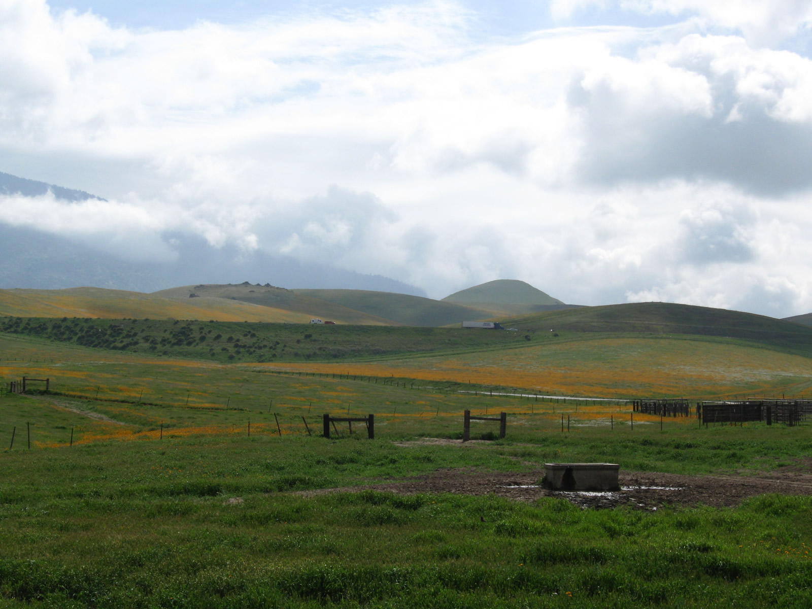
This suite of photos follows Caliente Bodfish Road west through pastoral ranchlands. Taken after a storm passed through the area, the green hills make the hills look as alive as they could be. Orange, colorful flowers dominate the view on several hills. Photos taken 03/15/09. |
|
|
|
|
|
|
|
|
|
|
|
|
|
|
|
|
|
|
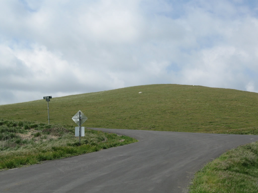
Westbound Caliente Bodfish Road approaches Bena Road. Historic U.S. 466 turns west on Bena Road en route to Bakersfield. Photo taken 03/15/09. |
|
After the intersection with Caliente-Bodfish Road, westbound Historic U.S. 466 (Bena Road) continues west as it passes through the foothills east of Bakersfield. Photo taken 03/15/09. |
|
Several sections of Bena Road have cuts such as this one. Photo taken 03/15/09. |
|
Old, white wooden guardrail is still in use along Historic U.S. 466 (Bena Road). Photo taken 03/15/09. |
|
|
|
|
This suite of photos follows Historic U.S. 466 (Bena Road) west through the green foothills in the springtime. Photos taken 03/15/09. |
|
|
|
|
|
|
|
|
|
Leaving the foothills, westbound Historic U.S. 466 (Bena Road) crosses a wash on this bridge. The bridge features white, wooden railing and similar characteristics to other bridges of its era. Photo taken 03/15/09. |
|
This bridge has seen better days, as evidenced by the support poles placed near the bridge railing. Photo taken 03/15/09. |
|
An industrial-looking building is located on the north side of the old highway. Photo taken 03/15/09. |
|
Westbound Historic U.S. 466 (Bena Road) crosses another wash on a bridge similar to the one we crossed earlier. Note the white, wooden bridge railing present again. Photo taken 03/15/09. |
|
Bena Road sees some elevation gain to meet the railroad. Photo taken 03/15/09. |
|
Purple lupine flowers line the road as we reach the summit of this hill. Photo taken 03/15/09. |
|
At the top of the hill, Historic U.S. 466 (Bena Road) again flattens out, and we are now in the Central Valley. Photo taken 03/15/09. |
|
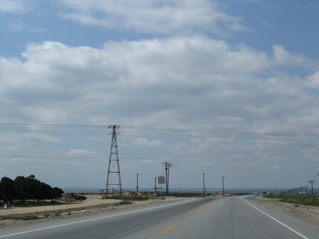
A very old power line carries electricity from the Kern River Canyon south toward Los Angeles; the original version was built in 1894 and served as a model for the concept today of importing and exporting power between regions. Bena Road changes into Edison Highway. Photo taken 03/15/09. |
|
U.S. 466 follows Edison Highway from Bena Road west to Edison and Bakersfield. This highway is a straight shot into town. Photo taken 03/15/09. |
|
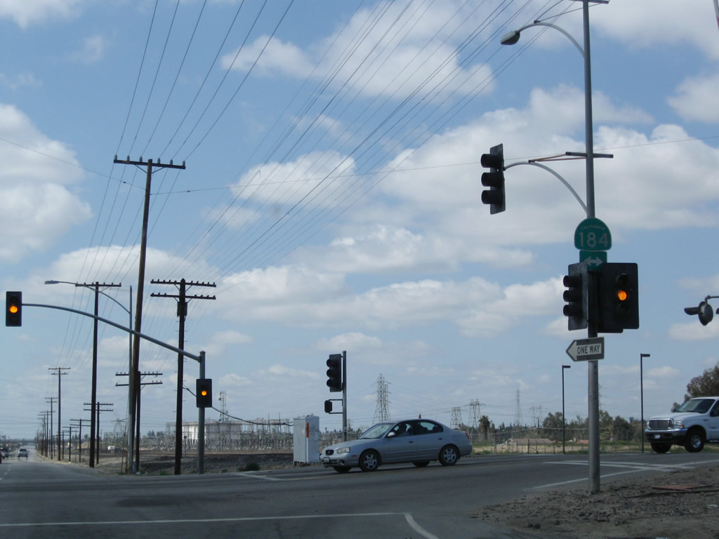
Skipping ahead a few miles, westbound Historic U.S. 466 (Edison Highway) approaches California 184 (Weedpatch Highway) south to Weedpatch and north to California 178 east of Bakersfield. California 184 serves as an eastern bypass of Bakersfield as well as providing connection through east valley farming communities. Photo taken 03/15/09. |
|
A single California 184 shield is posted on the mast arm of the traffic signal between Edison Highway and California 184. From here, U.S. 466 follows former California 58 Business west into Bakersfield on a path parallel to the railroad. Photo taken 03/15/09. |
|
|
|
|
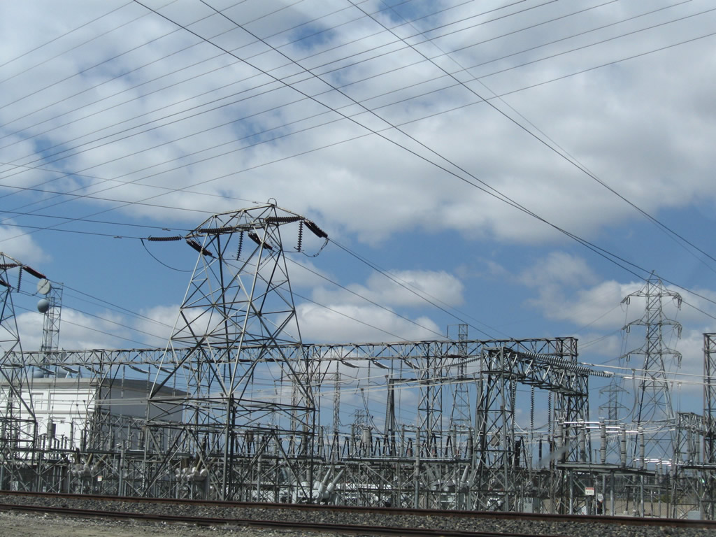
A large Southern California Edison substation is located north of the railroad tracks along Historic U.S. 466 (Edison Highway). Power lines come together here and then separate for the transmission south toward greater Los Angeles. Photos taken 03/15/09. |
|
Westbound Historic U.S. 466 (Edison Highway) approaches Fairfax Road in the unincorporated community of Magunden. Fairfax Road travels north to California 178 and the Alfred Harrell Highway and south to California 58. This grade separated interchange features an initial left turn onto Fairfax Road north followed by a second left turn to Fairfax Road south. Photo taken 03/15/09. |
|
Continuing west, Historic U.S. 466 (old California 58 Business) meets Fairfax Road north. Edison Highway and the railroad pass under the Fairfax Road overpass. Photo taken 03/15/09. |
|
Historic U.S. 466 (old California 58 Business) next meets the ramp to Fairfax Road south. Photo taken 03/15/09. |
|
Auto shops, small businesses, and commercial yards line the south side of Historic U.S. 466 (Edison Highway). Both the old road and the railroad continue west-northwest toward downtown Bakersfield. Sterling Road intersects U.S. 466 at-grade; there are few other cross streets. Photo taken 03/15/09. |
|
The next interchange along Historic U.S. 466 (Edison Highway) west is with Oswell Street. This interchange has the same configuration as the one with Fairfax Road. Photo taken 03/15/09. |
|
Westbound Historic U.S. 466 (old California 58 Business) meets the ramp to Oswell Street north first. Photo taken 03/15/09. |
|
The second ramp links Historic U.S. 466 (Edison Highway) with Oswell Street south. Photo taken 03/15/09. |
|
Westbound Historic U.S. 466 meets California Avenue, which travels due west into the city of Bakersfield, with connections to California 204 (California 99 Business / Union Avenue) and California 58-99/Golden State Freeway at Exit 25. Use California Avenue west to Mount Vernon Avenue. Photo taken 03/15/09. |
|
There is no direct access from Edison Highway to Mount Vernon Avenue except via California Avenue (earlier) or Chamberlain Avenue after the bridge. U.S. 466 was fairly well removed from the adjacent road grid due to its proximity to the railroad. Photo taken 03/15/09. |
|
This view looks north at the Mount Vernon Avenue bridge over Edison Highway and the railroad. Photo taken 03/15/09. |
|
Westbound Historic U.S. 466 (Edison Highway) meets Chamberlain Avenue. Use Chamberlain Avenue south to California Avenue east to Mount Vernon Avenue. Photo taken 03/15/09. |
|
A spur of the railroad crosses Historic U.S. 466 (old California 58 Business). Shortly after this railroad crossing, U.S. 466 finally enters the city of Bakersfield. Founded in 1869 and incorporated in 1873, Bakersfield is a regional agricultural hub and located near the major oil fields of Oildale and Taft. The city had a population of 247,057 people as of the 2000 Census and had grown throughout the ensuing decade. The city sits at an elevation of 408 feet above seal level, consists of 140.53 square miles, and is located at the southern end of the Central Valley. Located at the crossroads of California 58, California 99, and California 178, the city used to sit at the point where U.S. 99, U.S. 399, U.S. 466, and California 178 met. Photo taken 03/15/09. |
|
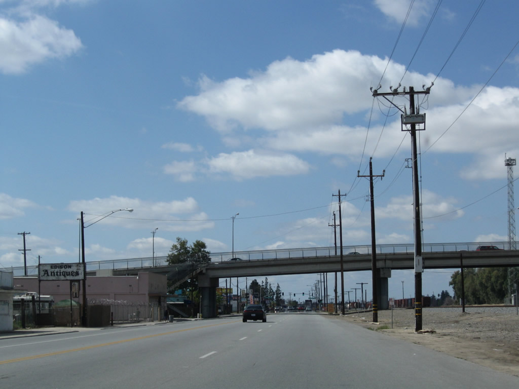
At this point, Edison Highway ends, and Truxtun Avenue begins. U.S. 466 followed Truxtun Avenue for a short distance, then turned northwest on Sumner Street parallel to the railroad, connecting to old U.S. 99 and California 178 at Union Avenue and Golden State Avenue. Photo taken 03/15/09. |
|
|
|
|
Looking at the hills that rise above U.S. 466 near the Bena Road - Caliente Bodfish Road intersection, these photos show some of the flowers and green grass that brings out the best in spring color. Photos taken 03/15/09. |
Page Updated September 12, 2009.