Traveling east from MD 318, SR 18 follows rural Federalsburg Road to Atlanta and Cannon Road along a bypass of Bridgeville to the south. The eastern 10.32 miles overlap with SR 404 to the county seat of Georgetown.
SR 18 was a primary route across Sussex County in 1936 as it extended east from near Federalsburg, Maryland to Lewes and Lewes Beach. It was replaced by U.S. 9 between Georgetown and the Cape May-Lewes Ferry in 1974. SR 404 was signed alongside SR 18 from Cannon Road to U.S. 9 (Market Street) in Georgetown by 1987.
|
| SR 18 (Cannon Road) heads away from U.S. 13 and southern reaches of Bridgeville to rural areas east of Camp Road. 01/16/17 |
|
| Georgetown is a 13 mile drive to the east via SR 18 and SR 404. Lewes, the original eastern terminus of SR 18, is 27 miles away. 01/16/17 |
|
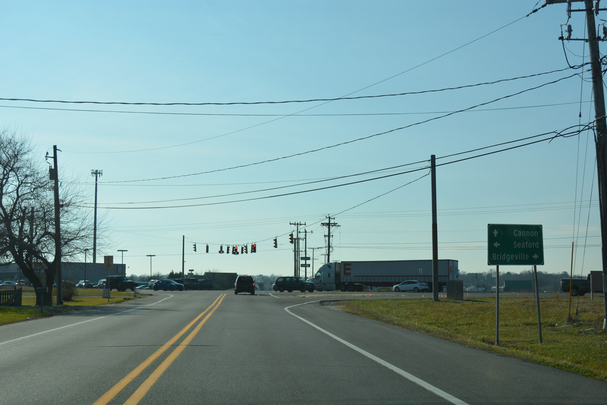
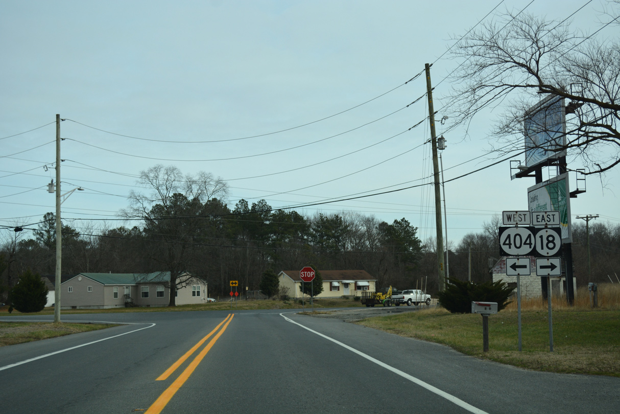
| 1.50 miles east of U.S. 13, SR 18 merges with SR 404 (Seashore Highway). SR 404 west leads back to Bridgeville. 01/16/17 |
|
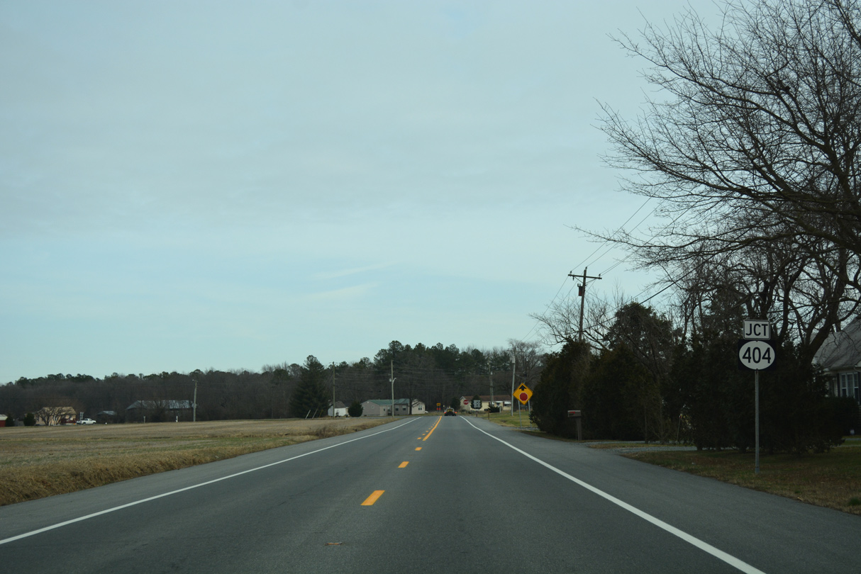
| The remaining 10.32 miles of SR 18 to Georgetown runs in tandem with SR 404. The overlap was made in the mid 1980s to benefit beach bound traffic. 01/16/17 |
|
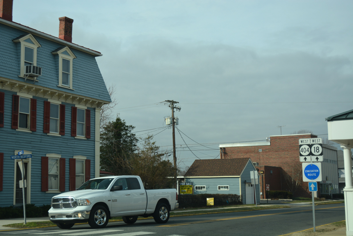
| SR 18 begins as SR 404 partitions with U.S. 9 (Market Street) west. The two state routes follow Bedford Street north to Bridgeville Road through the Georgetown street grid. 01/16/17 |
|
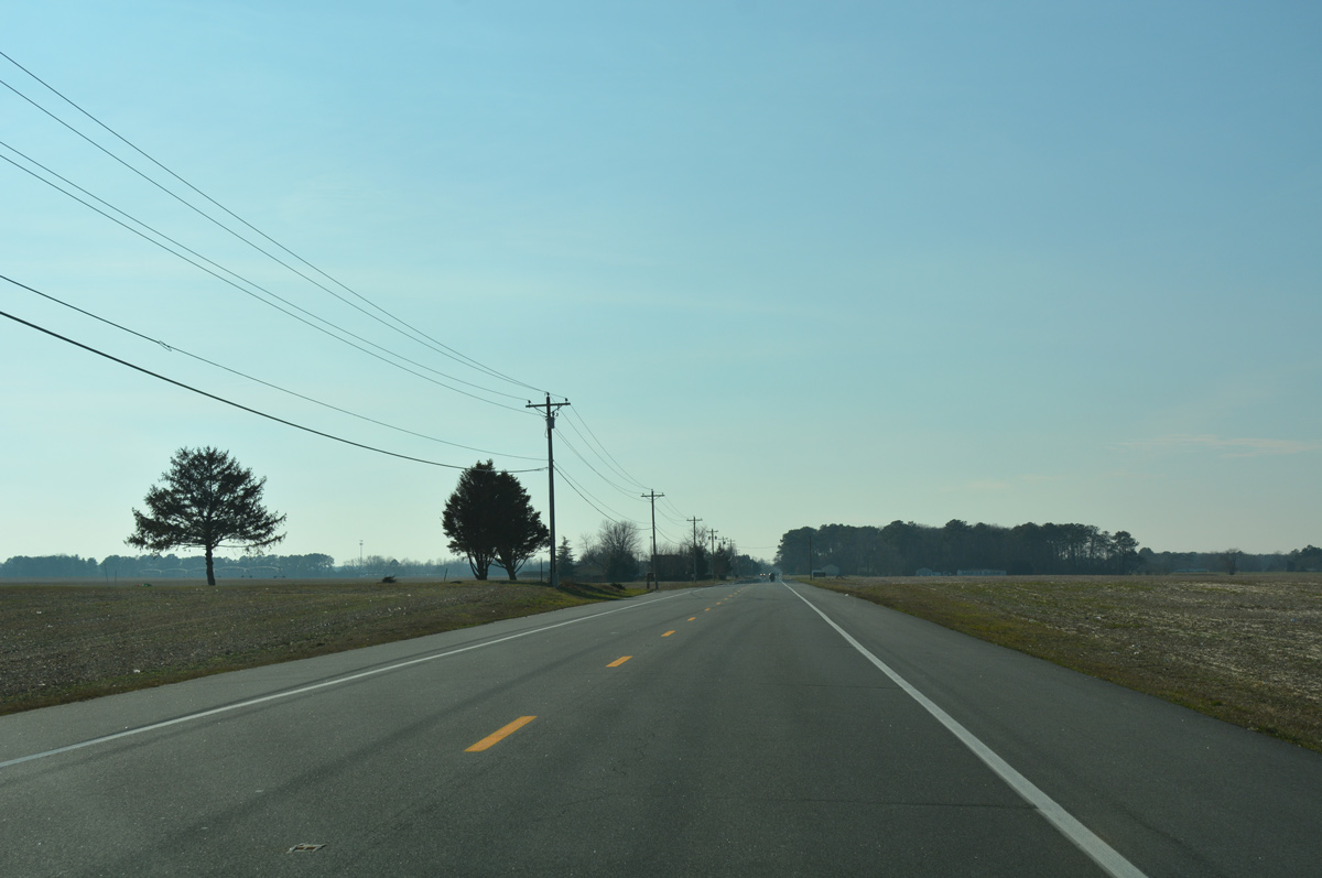
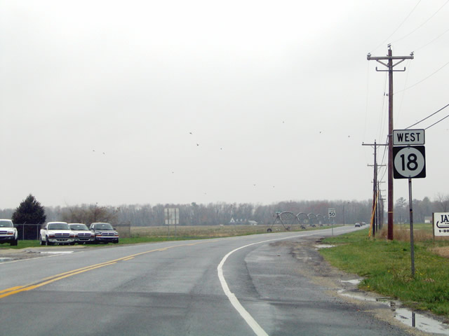
| SR 18 splits with SR 404 (Seashore Highway) just west of the Nanticoke River. Following Cannon Road, the state route travels across open farm land initially. Missing from this stretch is a confirming marker. 01/15/17 |
|
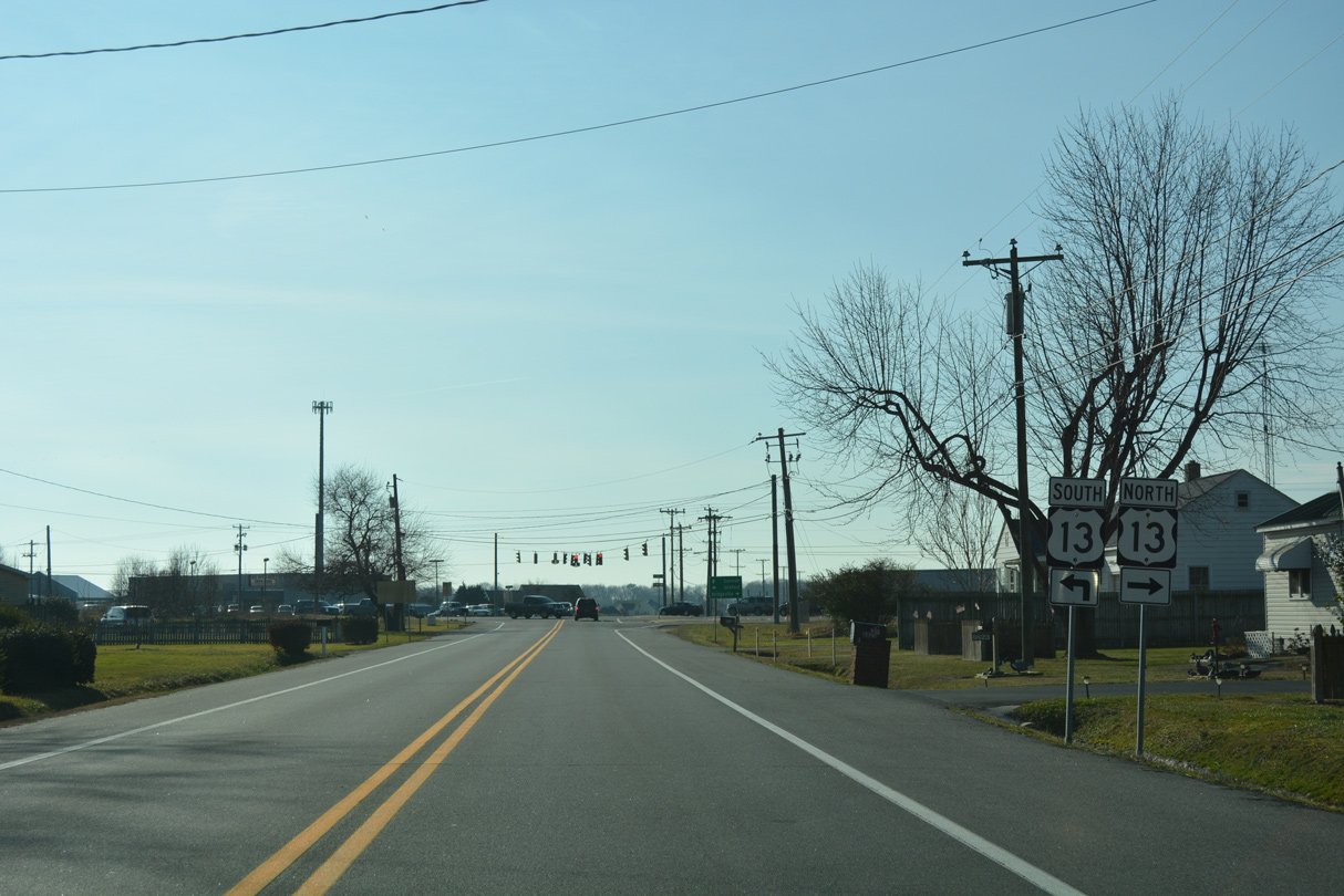
| A number of homes line Cannon Road as SR 18 approaches U.S. 13 (Sussex Highway). Development increases both to the west along SR 18 and north along U.S. 13. 01/15/17 |
|
| U.S. 13 heads north to Bridgeville and Harrington and south along a commercial strip to Hearns Mill and Seaford. 01/15/17 |
|
| SR 18 (Cannon Road) arcs southwest to the community of Cannon along the south boundary of Bridgeville. The shield pictured here was removed by 2012, while open farm land to the south was developed with the Clearbrooke Estates neighborhood. 04/13/04 |
|
| Wilson Farm Road south and Conrail Road north come together at SR 18 and the settlement of Cannon. Both roads parallel a Norfolk Southern Railroad as they head south to Seaford and Bridgeville north respectively. 04/13/04 |
|
| SR 18 (Cannon Road) advances across agricultural areas northwest from Cannon to intersect Wesley Church Road. Wesley Church Road heads north to Bridgeville and south to Atlanta Road. 04/13/04 |
|
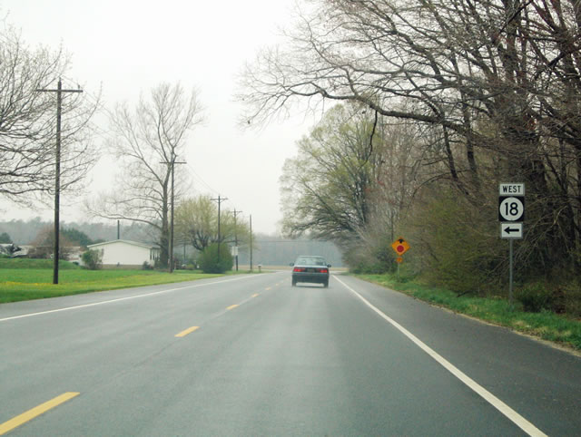
| Cannon Road ends at the SR 18 turn onto Federalsburg Road. Federalsburg Road stems west from SR 404 Business in Bridgeville to become SR 18 west to the Maryland state line. 04/13/04 |
|
| The subsequent reassurance marker for SR 18 west does not appear until after the Federalsburg Road intersection with Atlanta Road. The rural highway meanders west through Clarksons Crossroads and Atlanta. 04/13/04 |
|
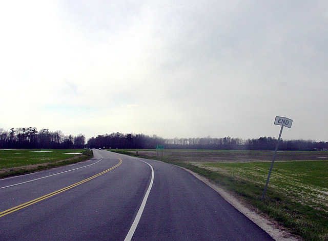
| An end sign was posted at the state line for SR 18. However in a years time the assembly was removed. 03/23/03 |
|
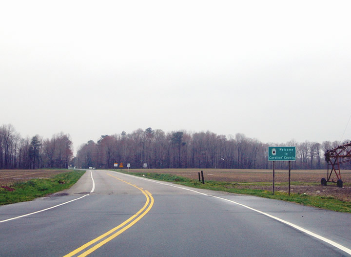
| Federalsburg Road extends west into Caroline County as MD 318. MD 318 travels 3.08 miles to MD 313 at the town of Federalsburg. 04/13/04 |
Page Updated 02-02-2017.


 East
East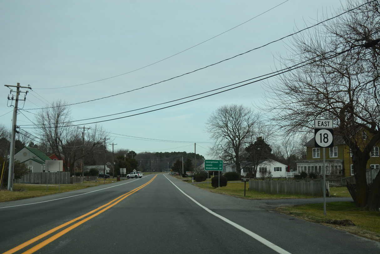

 West
West