

SR 24 travels 40.61 miles from MD 348, east of Sharptown, to SR 1 at Midway. The state route follows a rural course east along Sharptown Road to Laurel Airport (N06) and West Street into the town of Laurel. Narrowing through Downtown Laurel, SR 24 shifts to Market and 4th Streets before intersecting U.S. 13 (Sussex Highway) just south of Records Pond.
East from Laurel, SR 24 (Laurel Road) passes through the settlements of Lone Pines, Sandy Fork and Lowe ahead of agricultural areas to Whaleys Crossroads and Millsboro Highway (former SR 30). SR 24 shifts north to Mission and the suburban outskirts of Millsboro. Laurel Road takes SR 24 east to U.S. 113 (Dupont Boulevard), where the route angles northward through Downtown Millsboro along the one way couplet of Main and Washington Streets.
Beyond the Indian River, SR 24 meets SR 30 (Gravel Hill Road) north and joins John J. Williams Highway east to the Mountaire Farms poultry plant at Longwood Pond. The state route gradually becomes more suburban from Warwick east to SR 5 (Oak Orchard Road), and north to SR 23 (Long Neck Road) and Angola. SR 24 concludes at the commercialized stretch of SR 1 (Coastal Highway) through Midway.
SR 24 essentially follows the same alignment that it did in 1936. One change was the realignment from Jersey Road, between Indian River and Hollyville Road, onto John J. Williams Highway.
Delaware State Route 24 Guides
Construction underway from March 2022 to 2024 expands SR 24 from Love Creek to Mulberry Knoll in eastern Sussex County. Coinciding with this work through March 2022 was four lane expansion of SR 24 east from Mulberry Knoll Road to SR 1. These are two of several projects in DelDOT's Highway Safety Improvement Project (HSIP), which include intersection improvements at SR 5, SR 23, Mount Joy Road, Bay Farm Road, etc.
Delaware State Route 24 - 2015 Annual Average Daily Traffic (AADT)
- 1,786 - Maryland line to Columbia Road (Road 76)
- 3,228 - southwest Laurel limits to Central Avenue
- 8,197 - Central Avenue to east Laurel limits
- 7,090 - U.S. 13 to Shiloh Church Road
- 2,184 - Lowes Crossing Road to SR 30
- 23,021 - U.S. 113 to South Washington Street
- 33,494 - Millsboro limits to split with SR 30
- 19,008 - Warrington Road to SR 1
 scenes scenes |
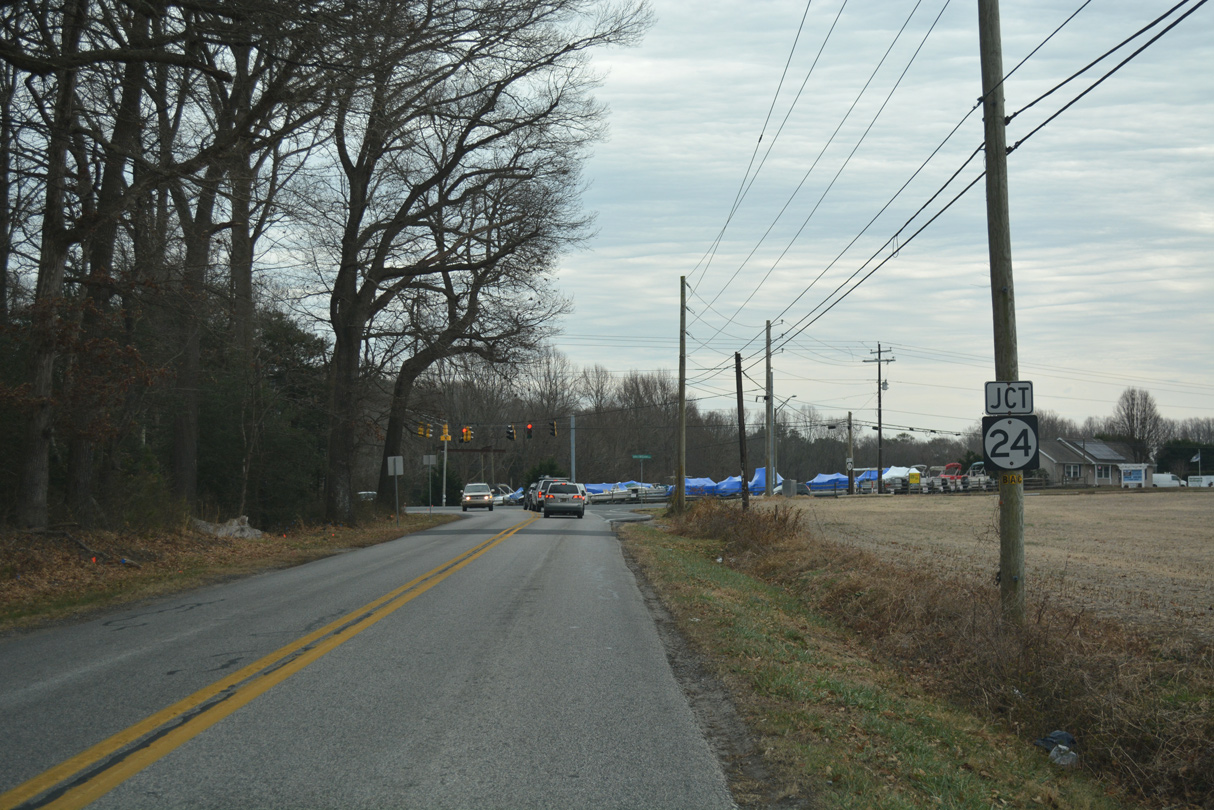 | Robbinsville Road south at SR 24 (John J. Williams Highway). 12/17/17 |
Photo Credits:
12/17/17 by AARoads
Connect with:
U.S. 9
U.S. 13
U.S. 113
State Route 1
State Route 1D
State Route 5
State Route 23
State Route 30
Route 348
Page Updated 02-26-2021.