SR 37 angles northeast from SR 273 (Christiana Road) along Airport Road between the Whitehall, Stratford and Coventry subdivisions to intersect SR 58 (Churchmans Road). Airport Road expands into a four lane arterial from there along the northwest side of New Castle County Airport (ILG) to Commons Boulevard. Airport Road branches north as a local road to SR 141 (Newport Freeway), while Commons Boulevard winds east through the New Castle Corporate Commons business park. SR 37 concludes at SR 141 (Basin Road) across from Basin Road Industrial Park.
SR 37 was commissioned in 1985, following the completion of Commons Boulevard from Airport Road east to Basin Road. The state route was designated around the same time as SR 58 to the west of then Greater Wilmington Airport (ILG).
SR 37 - 2015 Annual Average Daily Traffic (AADT)
- 8,174 - SR 273 to SR 58
- 9,990 - SR 58 to Airport Road
- 21,344 - Airport Road to SR 141
|
| The first confirming marker for SR 37 stands along Airport Road just north of SR 273 (Christiana Road) by the Stratford and Coventry subdivisions. 12/26/16 |
|
| Edinburgh Drive loops north through the Stratford and Pleasantville communities and west across SR 37 (Airport Road) at this traffic light to Coventry. 12/26/20 |
|
| SR 58 (Churchmans Road) and SR 37 (Airport Road) come together just west of New Castle County Airport (ILG) near the DuRoss Heights community. 12/30/16 |
|
| SR 58 (Churchmans Road) angles southeast to SR 273 (Christiana Road) at Churchmans Industrial Center. Churchmans Road leads the road west across I-95 to SR 1 and SR 7 at Churchmans Crossing, and SR 4 at Christiana Hospital and Delaware Park. 12/30/16 |
|
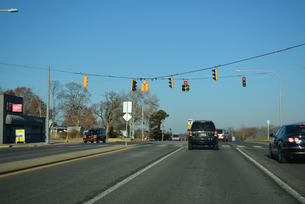
| SR 37 north at SR 58 (Churchmans Road) before expansion of the intersection and widening of Airport Road north to four lanes. 05/01/05 |
|
| Continuing northeast, SR 37 (Airport Road) runs along the western periphery of ILG Airport by an industrial park. 12/21/17 |
|
| Old Churchmans Road spurs northwest to the DuRoss Heights street grid from the ensuing traffic light. The current iteration of Churchmans Road was in place by 1948. 12/21/17 |
|
| Mast arm signals were installed at Airport and Old Churchmans Road in 2004. These were replaced during expansion of SR 37 from May 2005 to June 2006.1 05/01/05 |
|
| Airport Road branches north to parallel I-95 to SR 141 (Newport Freeway) as SR 37 transitions onto Commons Boulevard east. 12/30/16 |
|
| Removed by 2016, this SR 37 marker appeared after the transition from Airport Road to Commons Boulevard. 09/27/09 |
|
| Commons Boulevard winds east through New Castle Corporate Commons business park. Penns Way loops south to various offices and aviation facilities of New Castle County Airport (ILG) from this signal. 12/30/16 |
|
| Reads Way follows at the succeeding signal as a loop north to additional office buildings and the New Castle County Government Center. 12/21/17 |
|
| Spruance Drive spurs east from the north side of New Castle County Airport (ILG) to the Delaware Air National Guard Base. 12/21/17 |
|
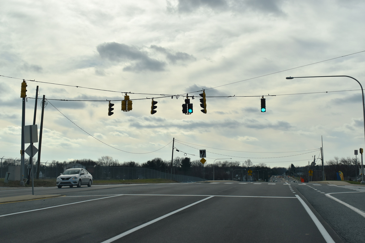
| Construction of Spruance Drive to the National Guard base in 2007-08 removed the junction shield for upcoming SR 141 from SR 37 (Commons Boulevard) north. 12/18/04 |
|
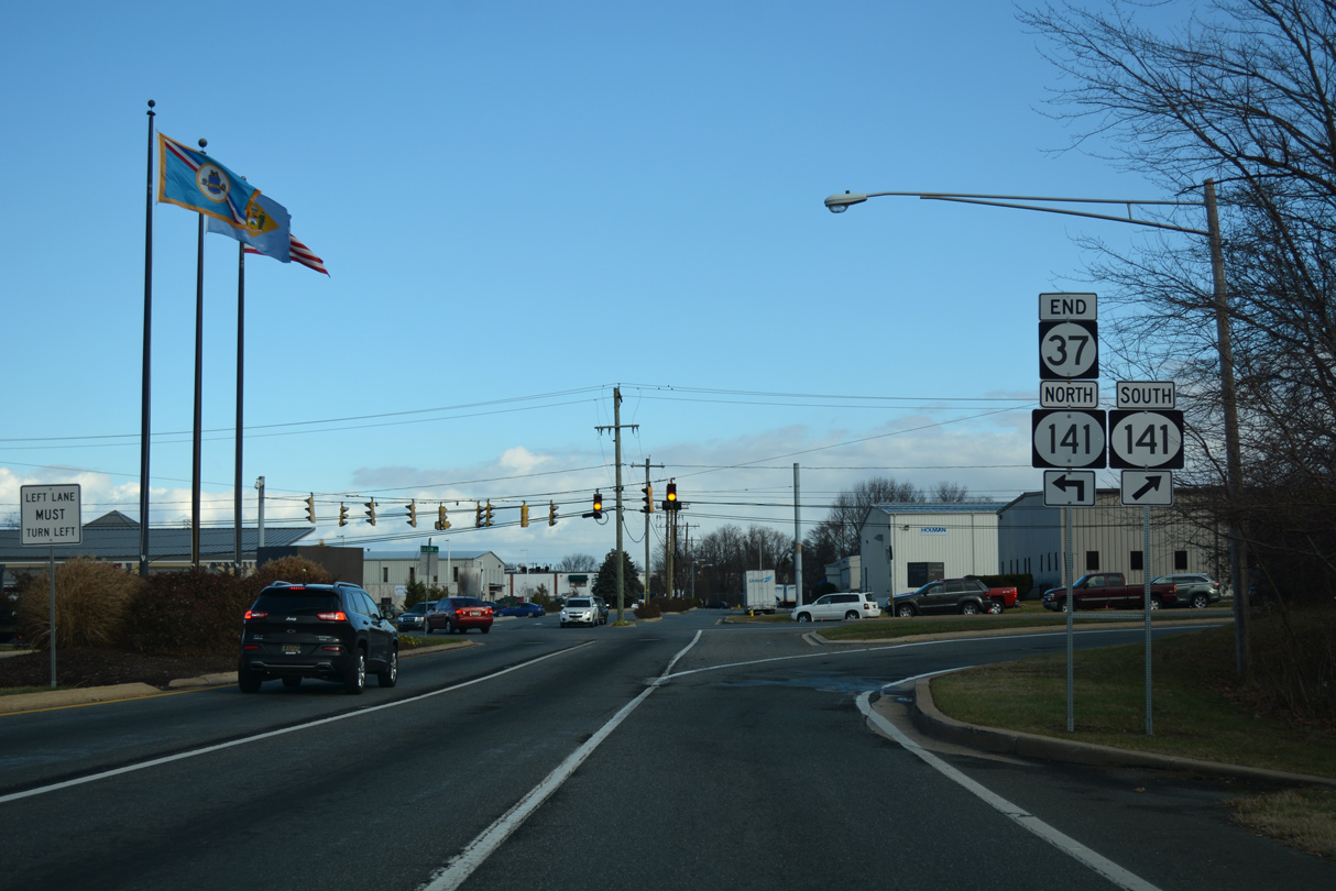
| SR 37 (Commons Boulevard) north concludes one mile north of U.S. 13/40 (Dupont Highway). 12/21/17 |
|
| Commons Boulevard extends east from the end of SR 37 across Basin Road into Basin Road Industrial Park. SR 141 (Basin Road) heads south toward New Castle and north to Newport. SR 141 doubles as U.S. 202 between Dupont Highway and the adjacent interchange with I-95, I-295 and I-495. The US route is sparsely signed along Basin Road. 12/30/16 |
|
| SR 37 (Commons Boulevard) winds west from SR 141 (Basin Road) through New Castle Corporate Commons. Successive traffic lights operate at Reads Way north and Penns Way south for the business park. 12/30/18 |
|
| Penn Way loops south to aviation services of New Castle County Airport (ILG). Reads Way returns at the ensuing intersection by the New Castle County Government Center. 12/30/18 |
|
| SR 37 overtakes Airport Road from Commons Boulevard and continues southwest to intersect Old Churchmans Road at the DuRoss Heights community. 12/30/18 |
|
| Airport Road lowers from Old Churchmans Road to intersect SR 58 (Churchmans Road) by the northwest corner of New Castle County Airport (ILG). 12/30/18 |
|
| SR 58 follows Churchmans Road southeast to SR 273 near Hares Corner and northwest to Churchmans Crossing and SR 4 (Stanton Ogletown Road). 12/30/18 |
|
| An $8.6 million construction project, underway between May 2005 to June 2006, expanded SR 37 to four lanes from Commons Boulevard to SR 58.1 Dual left-turn lanes were added for Churchmans Road in both directions of Airport Road as well. 09/25/04 |
|
| SR 37 (Airport Road) runs between the Coventry and Stratford subdivisions at the signal with Edinburgh Drive. 12/30/18 |
|
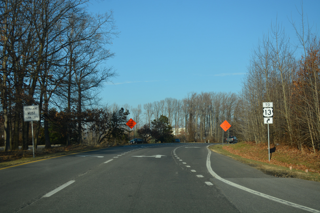
| Construction (project T200900704) from Spring 2018 to Fall 2020 expanded the forthcoming intersection with SR 273 (Christiana Road). Among $6.5 million in improvements, a second turn lane was added along SR 273 east for SR 37 north and a third westbound lane constructed along SR 273 west. 12/26/20 |
|
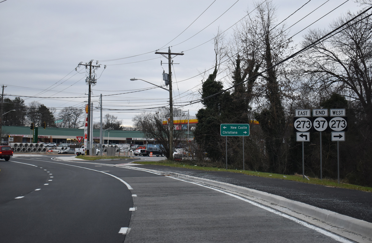
| SR 37 concludes with an end shield preceding SR 273 (Christiana Road). SR 273 comprises an often congested arterial route east to U.S. 13/40 (Dupont Highway) at Hares Corner and west to the nearby freeway along SR 1. 12/26/20 |
|
| Airport Road intersects SR 273 (Christiana Road) across from Community Plaza shopping center. SR 273 constitutes a multi state route east to New Castle and west to Christiana, Ogletown, Newark, and Fair Hill and Rising Sun in Maryland. 12/30/18 |
Sources:
- "Airport and Churchman's road Delays Expected Beginning May 2." Delaware Department of Transportation (DelDOT), press release. April 29, 2005.
09/25/04, 12/18/04, 05/01/05, 09/27/09, 12/26/16, 12/30/16, 12/21/17, 12/30/18, 12/26/20 by AARoads
Connect with:
State Route 58
State Route 141
State Route 273
Page Updated 03-04-2021.


 North
North