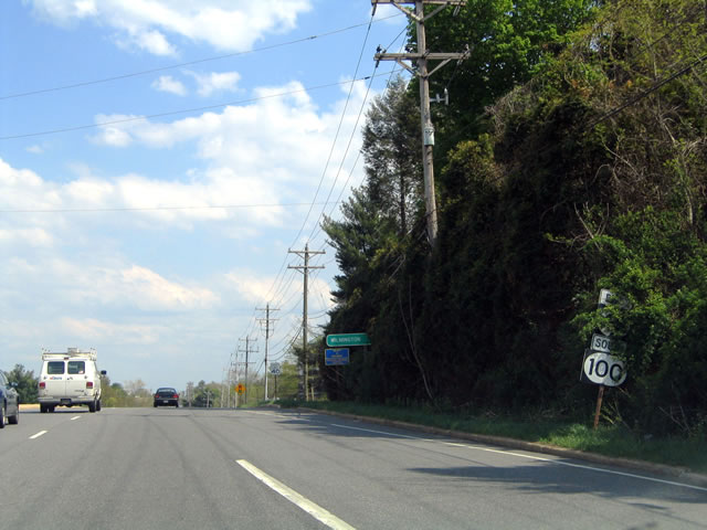
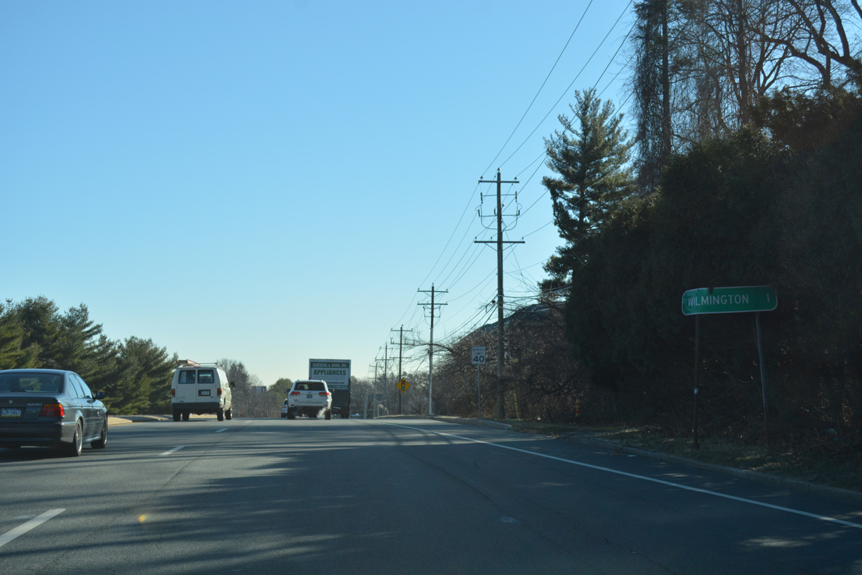
SR 100 originates along the couplet of N Dupont Road and Race Street at SR 4 in Richardson Park west of Wilmington. Race Street leads SR 100 northwest 0.22 miles from Maryland Avenue to Dupont Road ahead of Eureka Street. The state route expands into a four lane arterial from there as it elevates across the CSX Railroad into the town of Elsmere.
Dupont Road narrows to a four lane boulevard through eastern reaches of Elsmere, from SR 2 (Kirkwood Highway) and New Road north to Faulkand Road (old SR 34) at Silverbrook Cemetery and SR 48 (Lancaster Avenue). Nipping the northwest corner of Wilmington, SR 100 combines with SR 48 along Lancaster Pike west to Barley Mill Plaza, and along the SR 141 expressway north to Montchanin Road and the community of Greenville. Montchanin Road leads the final 4.85 miles of the route along a winding course to Montchanin, Brandywine Creek State Park and Guyencourt as the Brandywine Valley Scenic Byway.
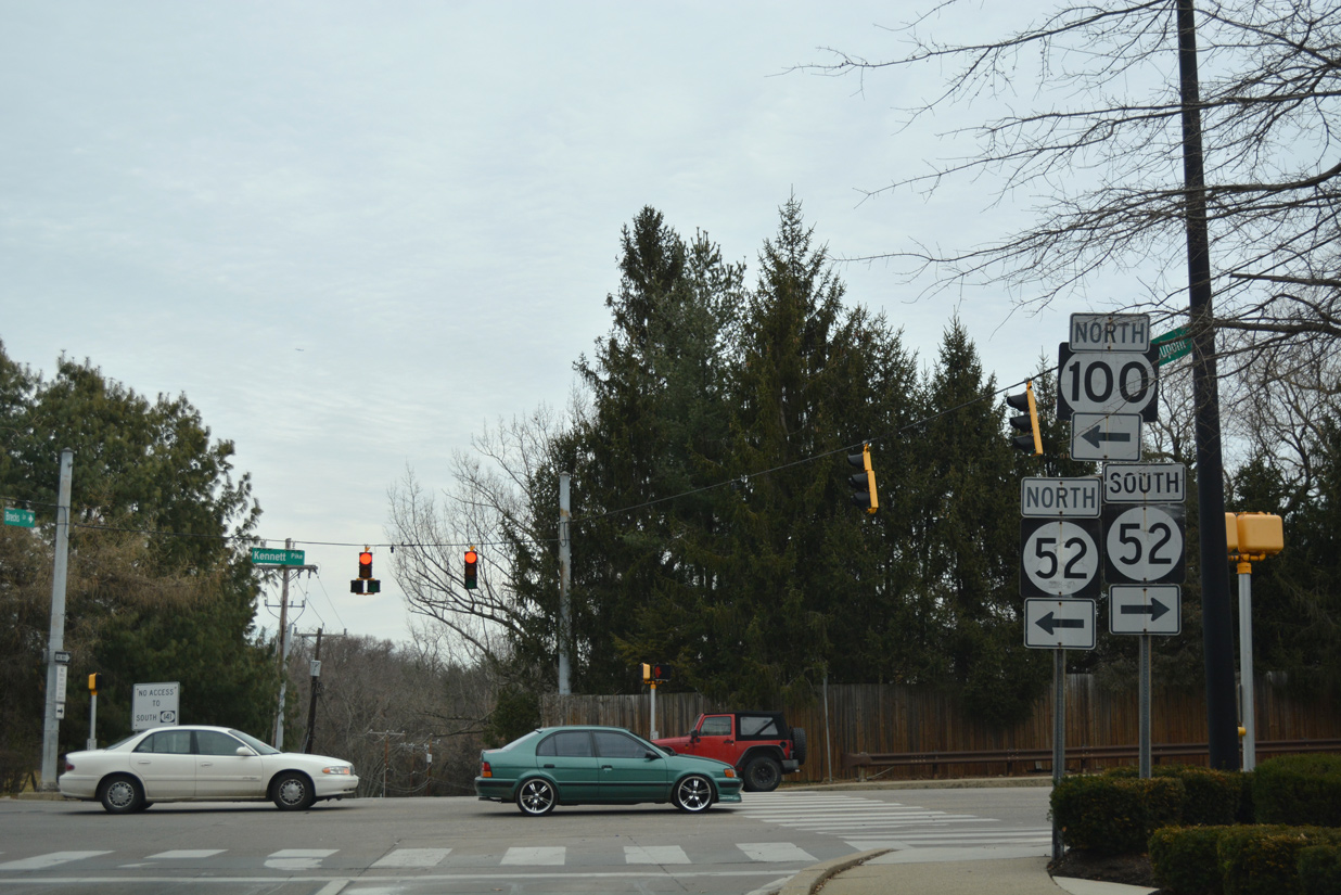
SR 100 appeared on the 1938 Official Delaware Highway Map as part of a multi state route with PA 100 north, from SR 52 (Kennett Pike) to U.S. 1 at Chadds Ford. SR 100 was extended south from SR 52 to SR 4 (Maryland Avenue) along Dupont Road in 1970.
An unsigned extension of SR 100 lined S Dupont Road 0.54 miles from SR 4 (Maryland Avenue) to Middleboro Road (unsigned SR 62) at the Middleboro Manor subdivision near Banning Park. This segment was no longer inventoried as SR 100 in Delaware Department of Transportation (DelDOT) GIS Files as of 2022.
|
| Dupont Road (Road 27) stems north from Middleboro Road (SR 62) through the Middleboro Manor community. 12/23/17 |
|
| Dupont Road north at Valley Road and the Ashley neighborhood in Richardson Park. 12/23/17 |
|
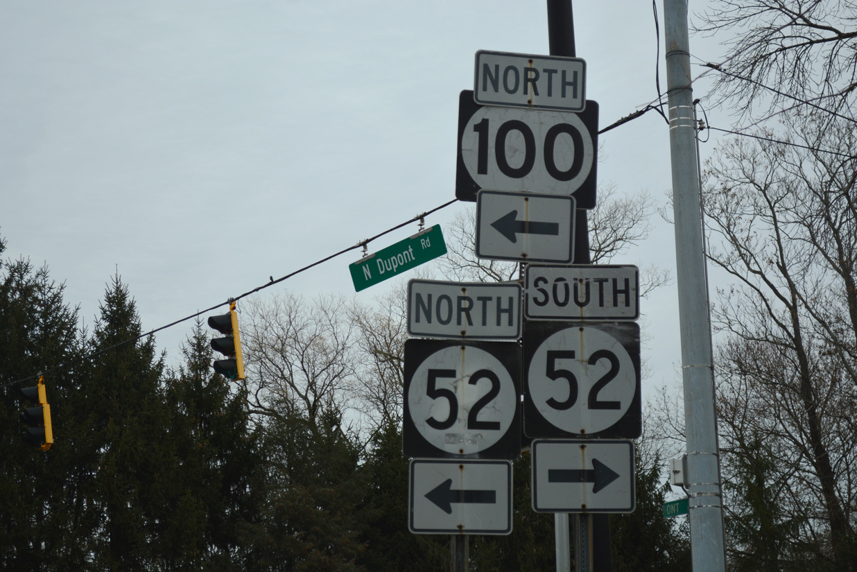
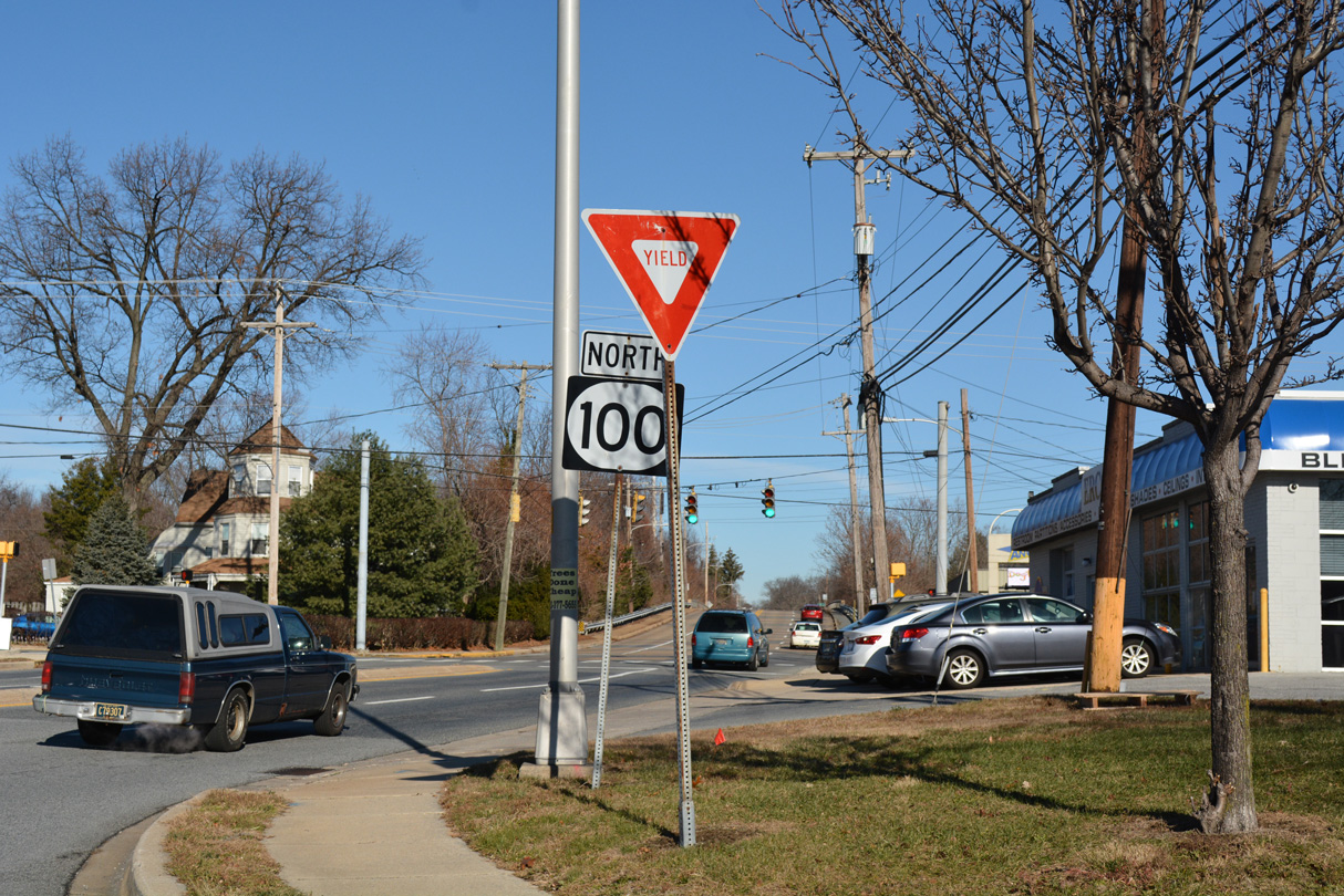
| S Dupont Road (Road 27) ties into SR 4 (Maryland Avenue) opposite SR 100 southbound along N Dupont Road. SR 100 north branches north from Maryland Avenue a tenth of a mile east at Race Street. 12/23/17 |
|
| The initial stretch of SR 100 north follows Race Street from SR 4 (Maryland Avenue) to Atlantic Avenue. 12/19/20 |
|
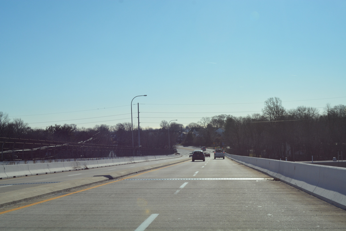
| Howard Street leads south back into Richardson Park as SR 100 (S Dupont Road) curves northwest ahead of a viaduct across the CSX Railroad and Baltimore Avenue. Old Dupont Road spurs north from Howard Street to dead end at the former railroad crossing nearby. 12/30/16 |
|
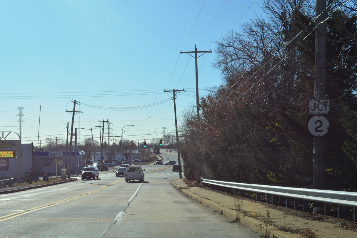
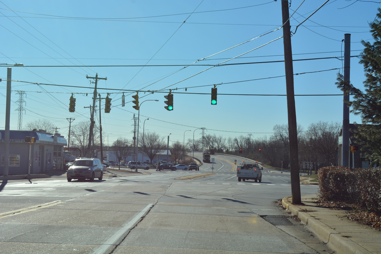
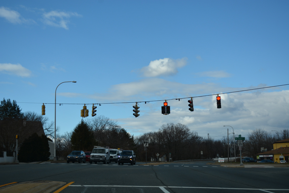
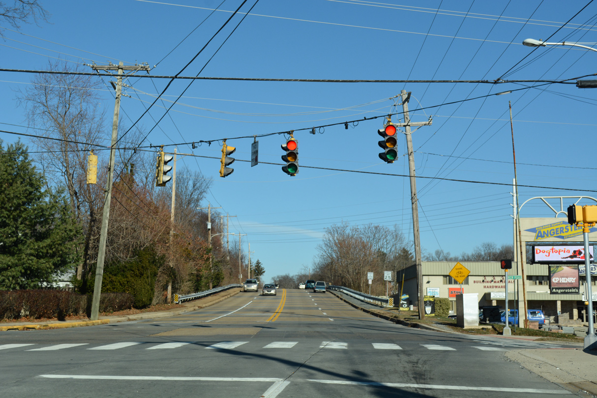
| SR 100 (Dupont Road) descends toward SR 2 (Kirkwood Highway) in the town of Elsmere. Kirkwood Highway constitutes a four lane arterial west to Prices Corner and Newark and east to Canby Park in Wilmington. 12/28/12 |
|
| SR 2 ascends over a viaduct above the CSX and Delaware Valley Railroads to Union Street by the Canby Park Estates community. The state route ends at SR 52 (Pennsylvania Avenue) beyond the Little Italy neighborhood of Wilmington. 12/28/12 |
|
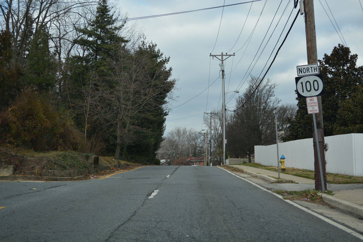
| SR 100 northbound reassurance shield posted between SR 2 (Kirkwood Highway) and New Road. 12/20/16 |
|
| New Road parallels SR 2 west to Sanders Road and the Elsmere business district and east to Colonial Avenue by the CSX Railroad. The two lane roadway represents the original alignment of SR 2 before the 1949 railroad overpass was constructed. 12/20/16 |
|
| Dupont Road spans the Delaware Valley Railroad to the immediate north of New Road on a bridge built in 1959. 12/20/16 |
|
| Cleveland Avenue branches northeast from N Dupont Road through the Colonial Park and Colonial Heights street grid to SR 48 (Lancaster Avenue) and the Greenhill neighborhood in Wilmington. A reassurance marker for SR 100 follows. 12/20/16 |
|
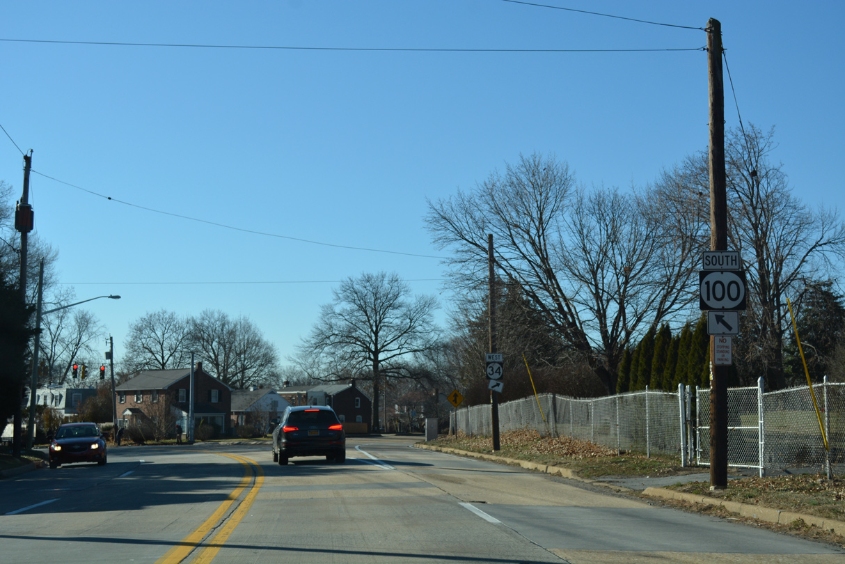
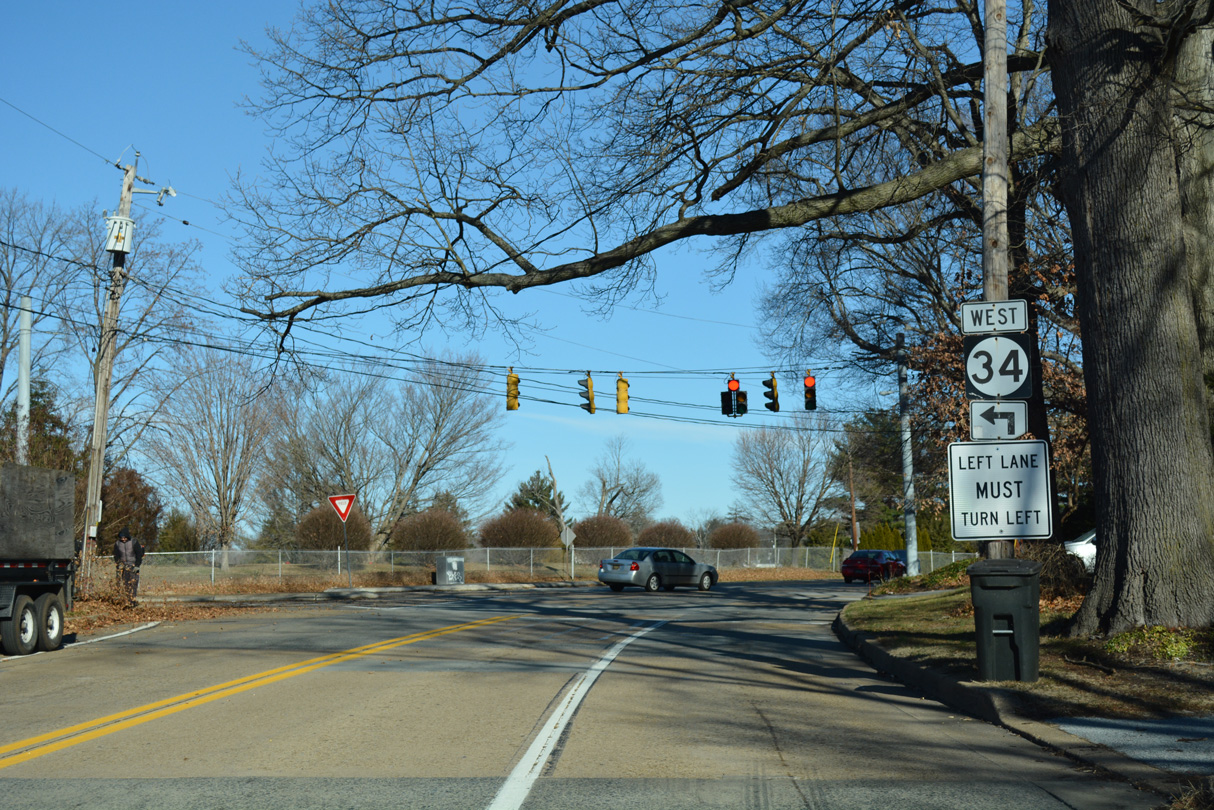
| SR 100 (Dupont Road) north leaves the town of Elsmere through Lancaster Village and next meets Faulkland Road. Removed in Summer 2019, SR 34 followed all of Faulkland Road west to Brandywine Springs Park and Duncan Road to the north of Prices Corner. 12/20/16 |
|
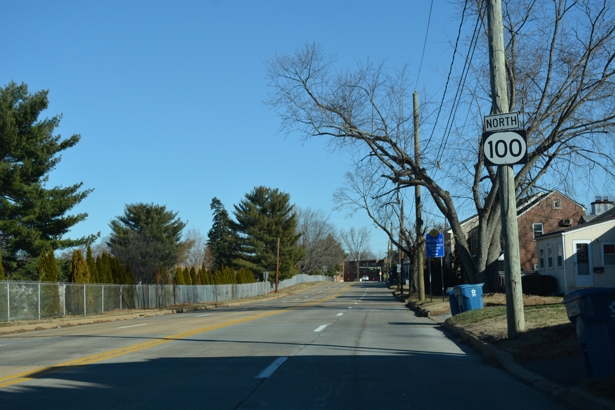
| Dupont Road curves northeast between Silverbrook Memorial Park and the Colonial Park community to SR 48 (Lancaster Avenue) at the northwestern corner of Wilmington. 12/20/16 |
|
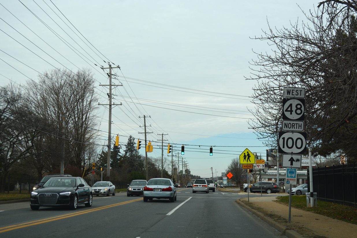
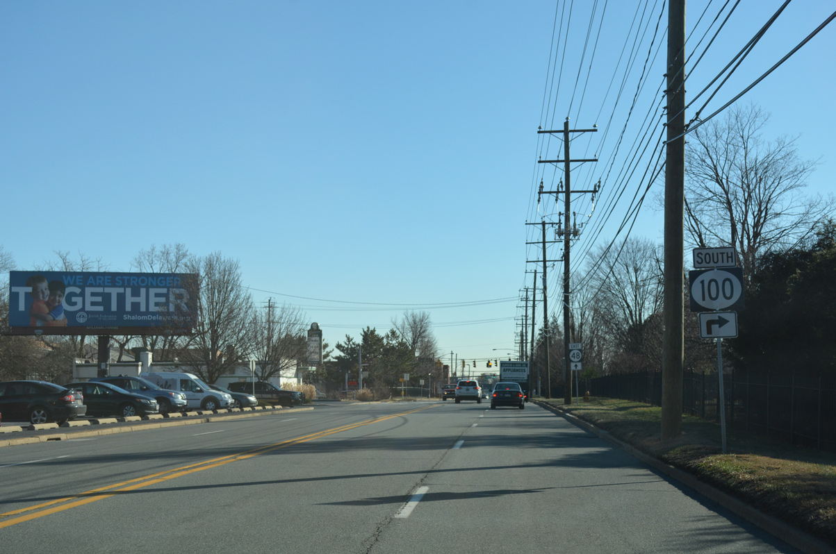
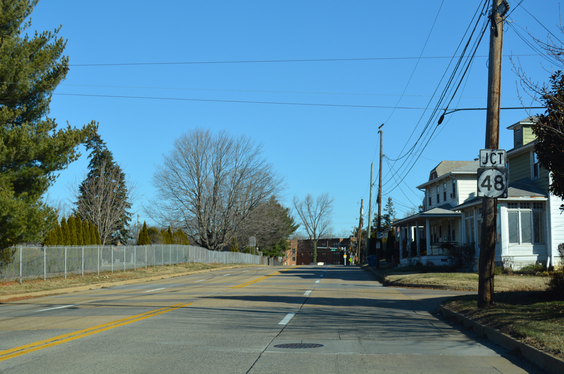
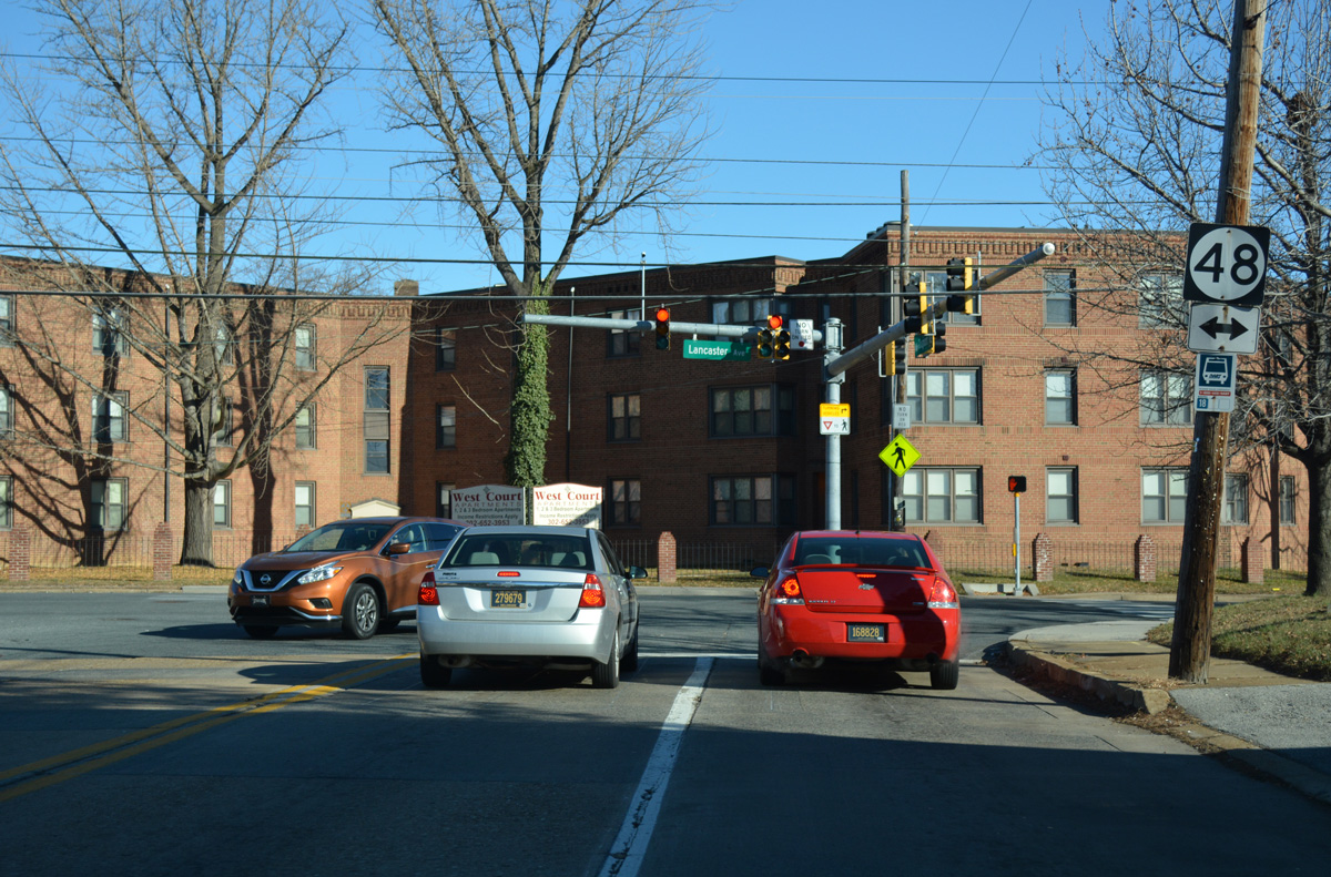
| Junction shield for SR 48 posted on SR 100 north at Watson Avenue. SR 48 (Lancaster Avenue) represents the main arterial route joining Wilmington with Hockessin. 12/20/16 |
|
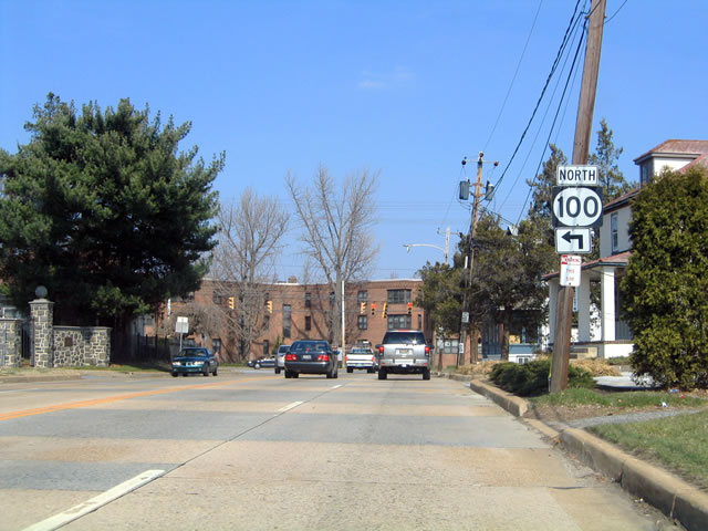
| SR 100 joins SR 48 (Lancaster Pike) between S Dupont Road and SR 141 (Centre Road).
This assembly was taken down by 2016. 03/20/04 |
|
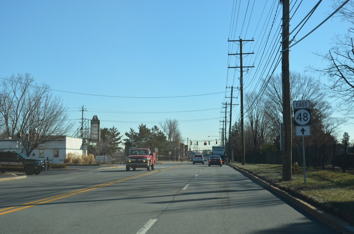
| SR 48 east makes a gradual descent toward the Christina River and LOMA through the Bayard Square, Hilltop and Hedgeville neighborhoods of Wilmington. The state route meets Interstate 95, 1.5 miles to the east at Jackson and Adams Streets. 12/20/16 |
|
| SR 48/100 north nip the northwestern corner of Wilmington adjacent to the Cab Calloway School of the Arts (the old Wilmington High School), located between the north and south segments of Dupont Road. 12/20/17 |
|
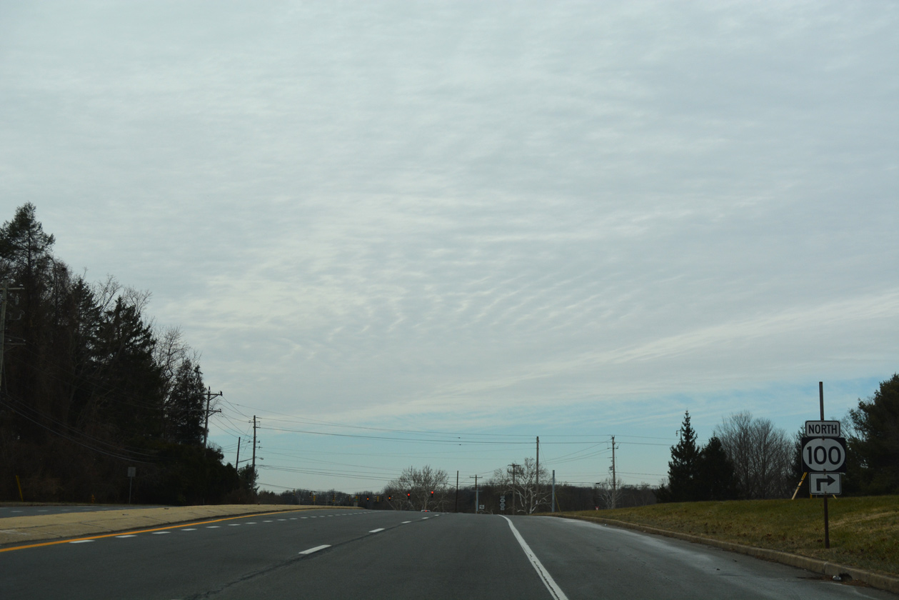
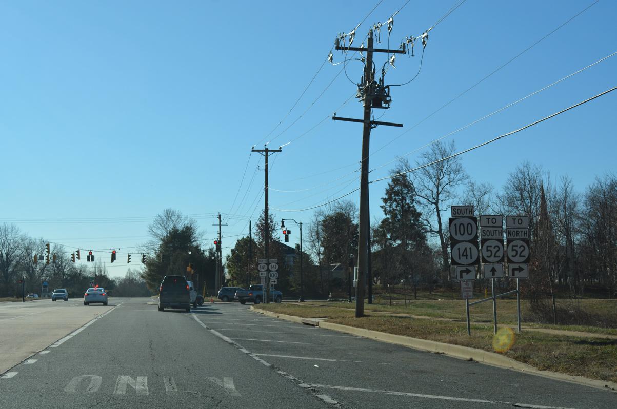
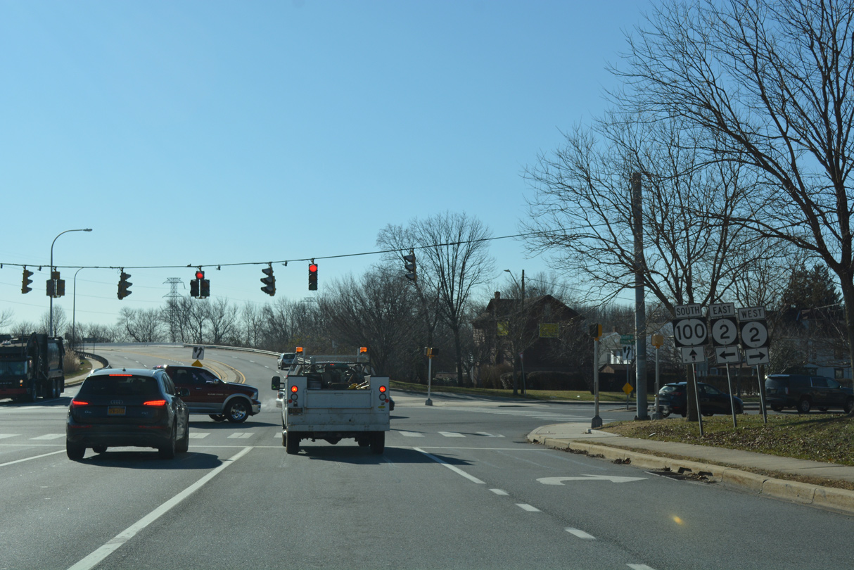
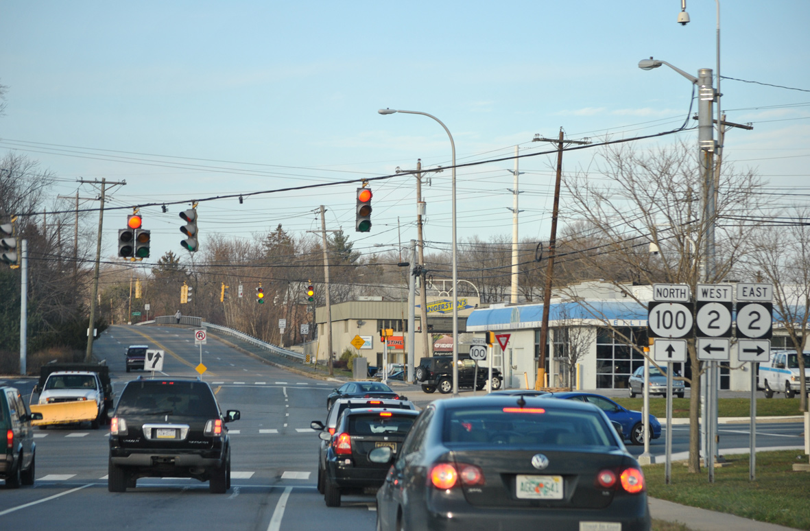
| SR 100 separates from SR 48 (Lancaster Pike) and combines with SR 141 (Centre Road) 1.4 miles northeast to Greenville. SR 48 continues west toward Hockessin. 12/20/17 |
|
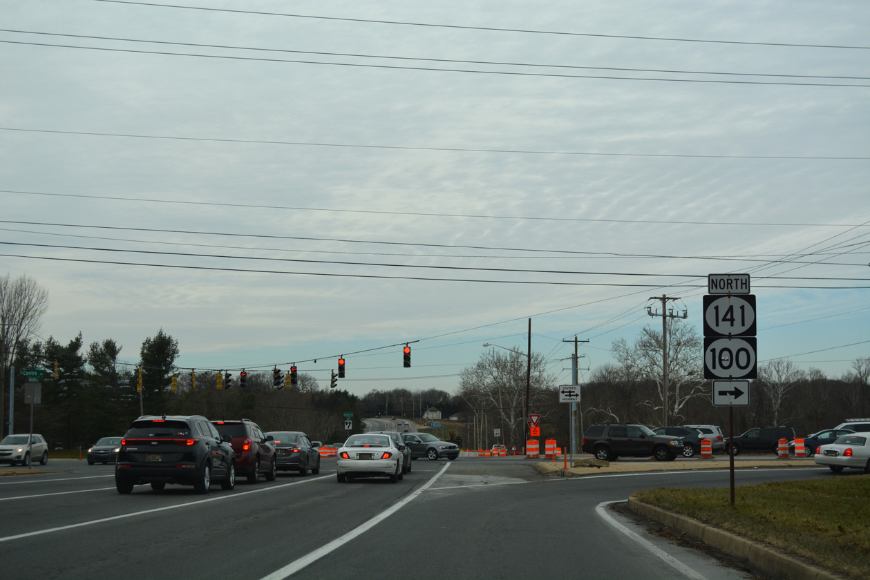
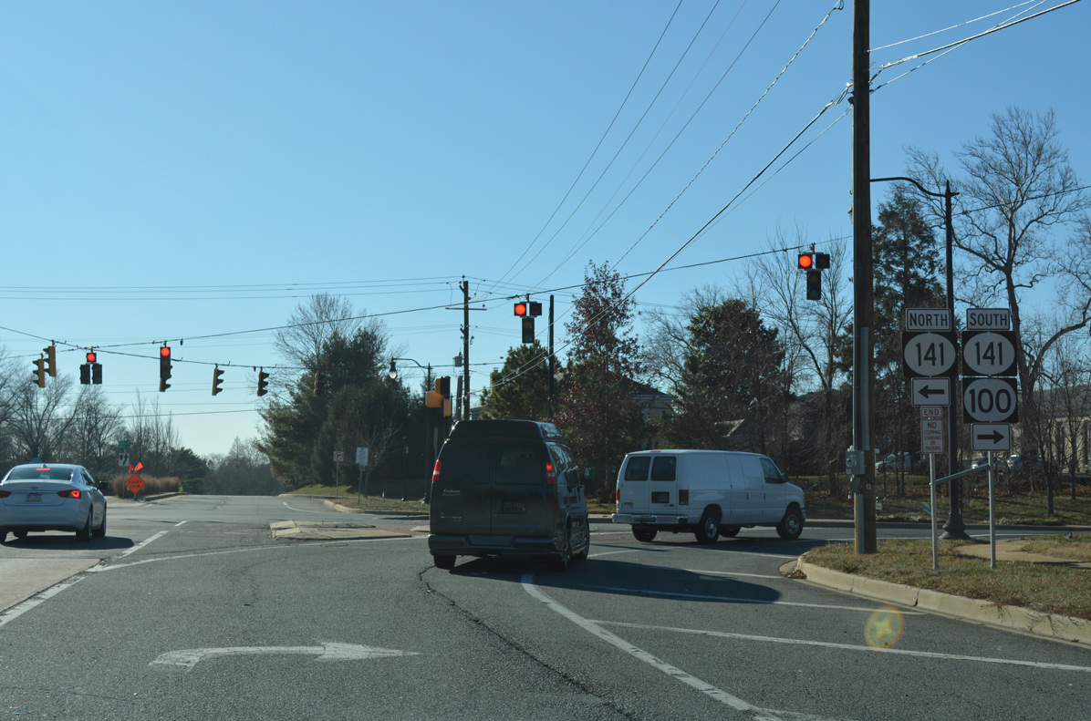
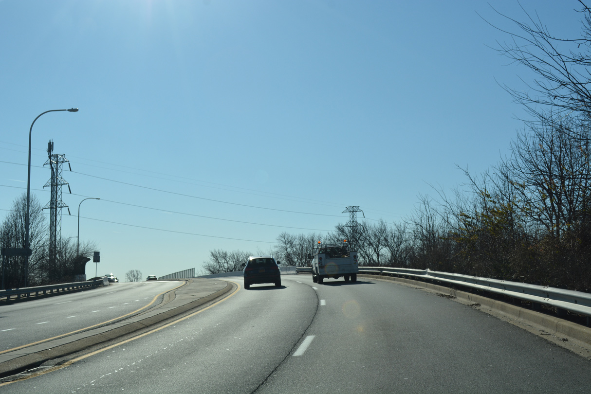
| SR 141 (Centre Road) encircles Wilmington and Elsmere southwest to Newport and east across the Tyler McConnell Bridge to Fairfax. The state route crosses SR 48 as a controlled access arterial, with the wide right of way here originally reserved for a grade separation with Lancaster Pike. 12/20/17 |
|
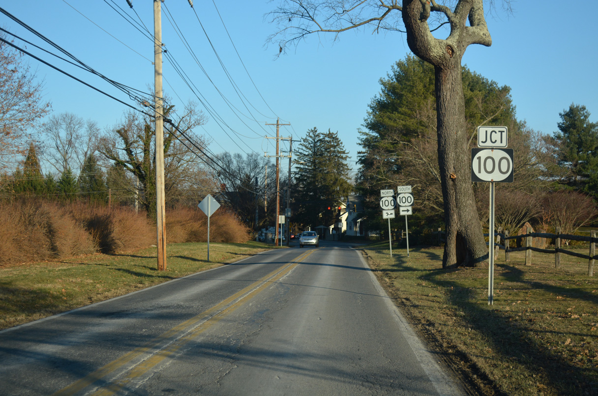
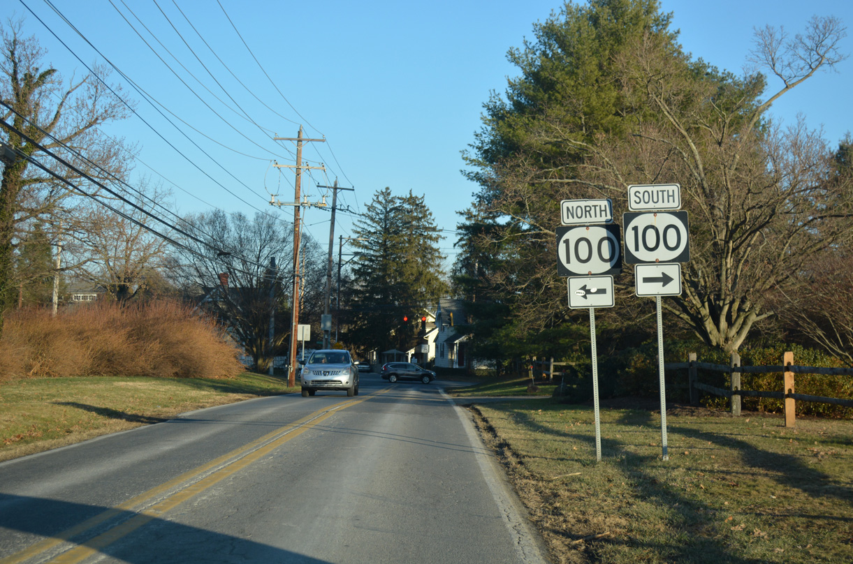
| Montchanin Road branches north from SR 52 (Kennett Pike) to become a part of SR 100 north of forthcoming SR 141 (Barley Mill Road). This segment was dropped from the state route in 1989. 12/22/16 |
|
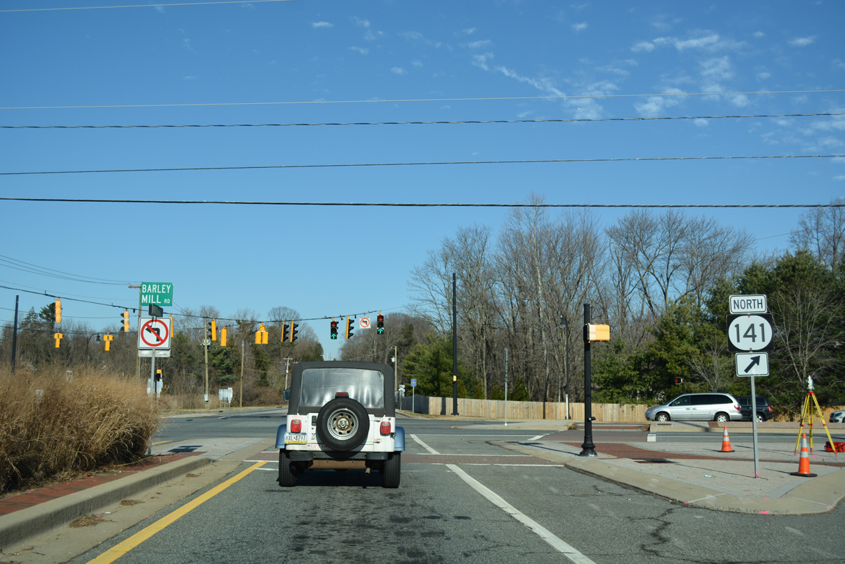
| SR 100 north splits with SR 141 east as its short expressway segment by Greenville ends. SR 141 reduces to two lanes east of Montchanin Road across the Tyler McConnell Bridge. 12/22/16 |
|
| SR 100 confirming marker posted north of SR 141 (Barley Mill Road). Leading north to Pennsylvania, Montchanin Road is a part of the Brandywine Valley Scenic Byway. 12/20/16 |
|
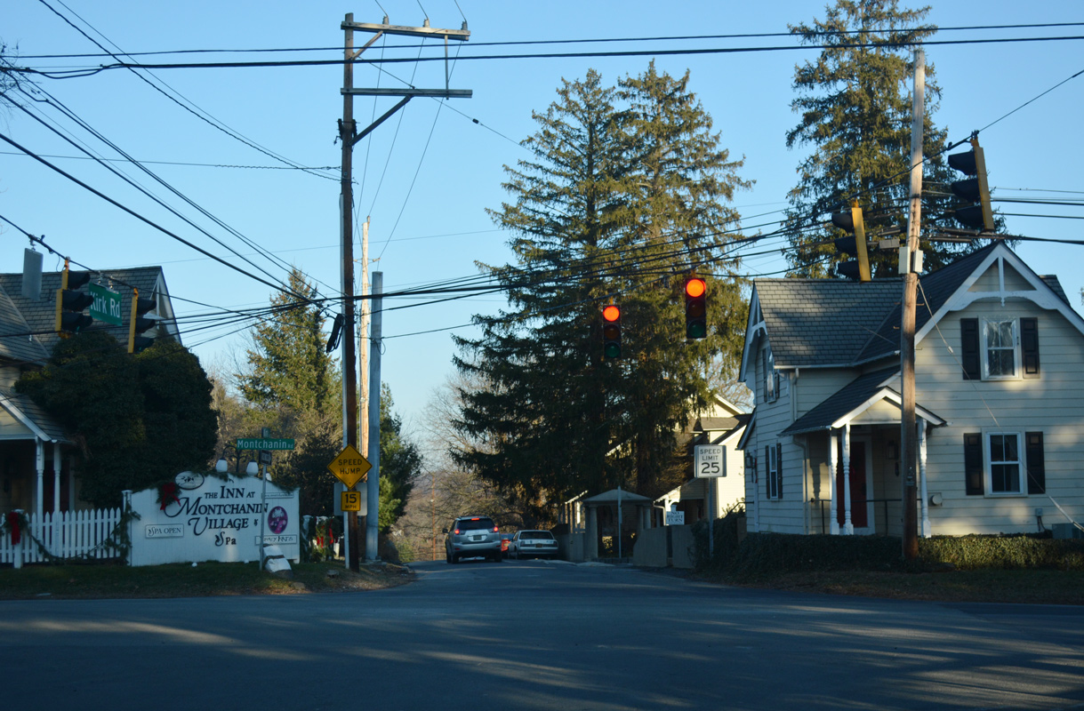
| Buck Road stems east from SR 52 (Kennett Pike) and the community of Greenville to a signalized intersection with SR 100 (Montchanin Road). Buck Road spurs east to the upscale Centennial neighborhood and the Hagley Library. 12/22/16 |
|
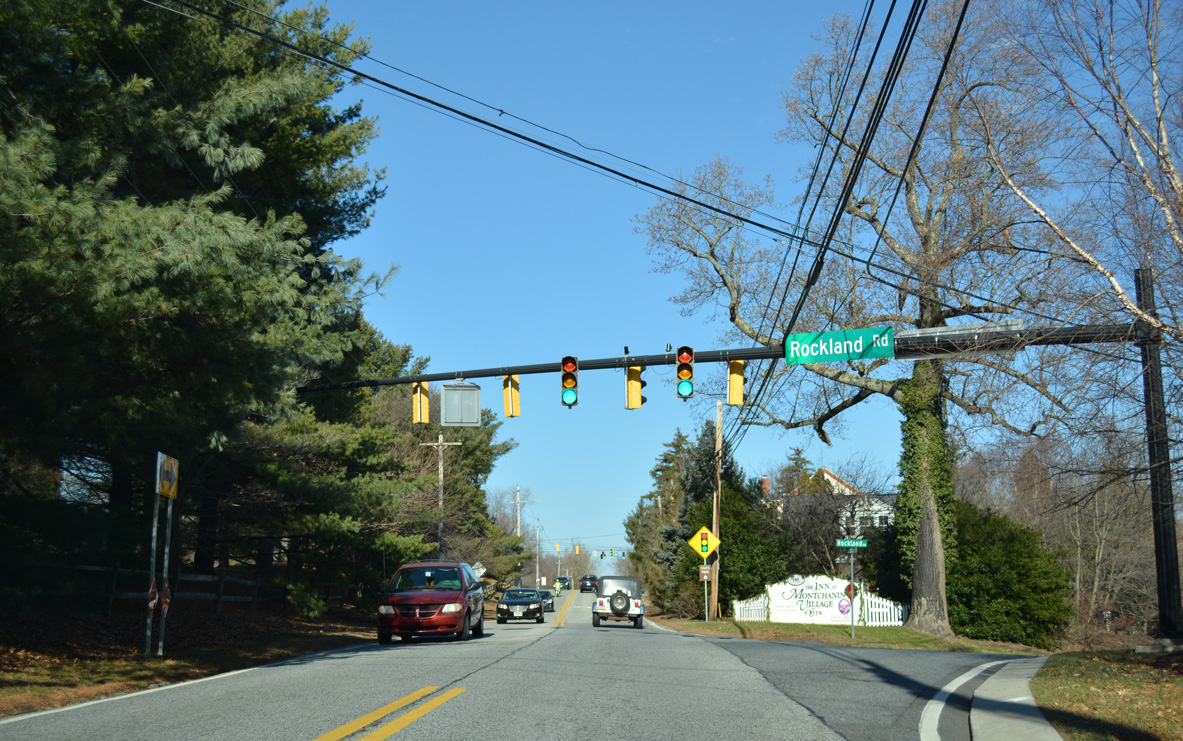
| Rockland Road branches northeast from SR 100 at Montchanin. The scenic road winds east to cross Brandywine Creek at Rockland, before turning southward to Blue Ball. 12/22/16 |
|
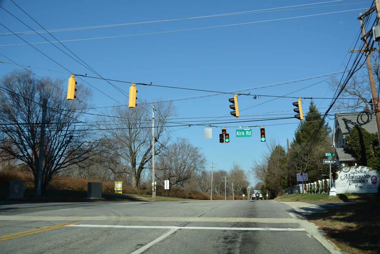
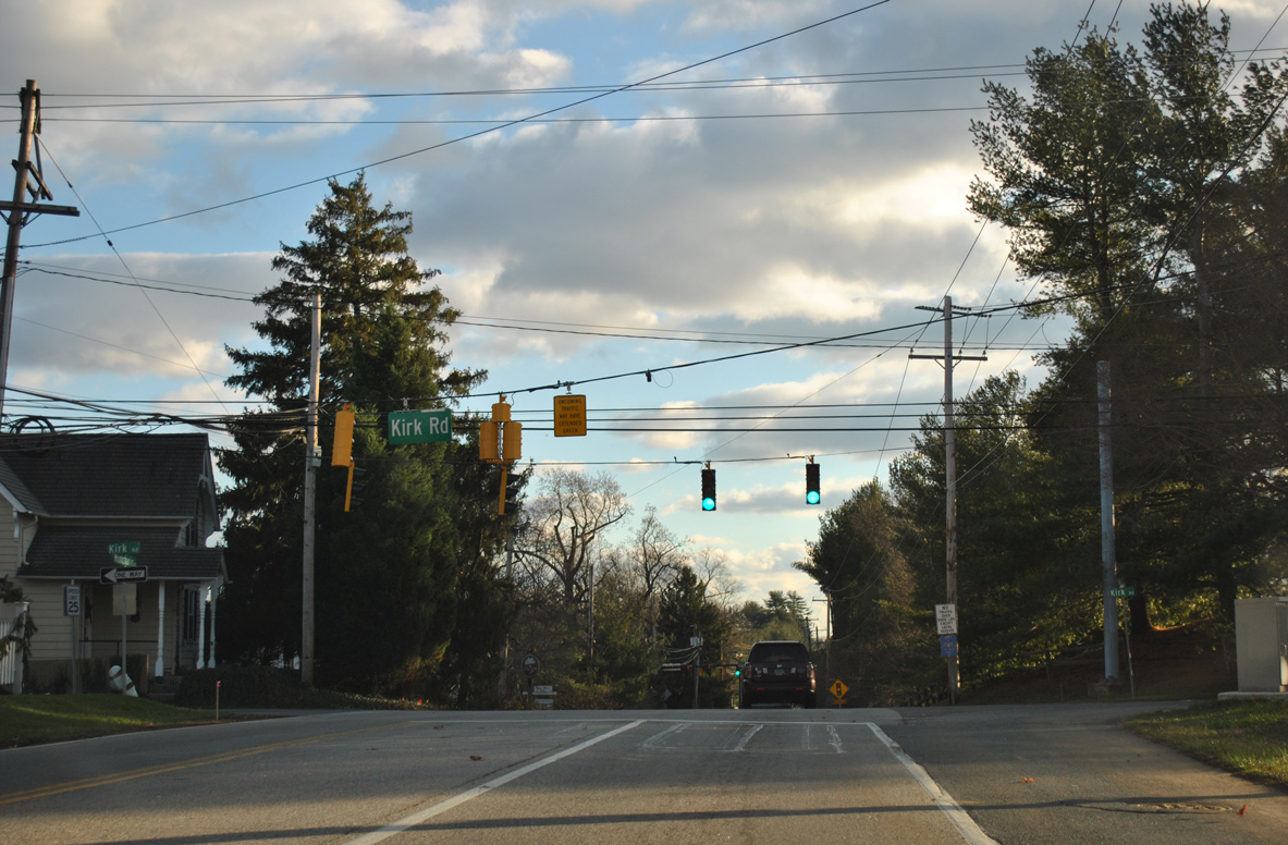
| Kirk Road links the south end of SR 82 (Campbell Road) and SR 52 (Kennett Pike) with SR 100 at Montchanin. 12/22/16 |
|
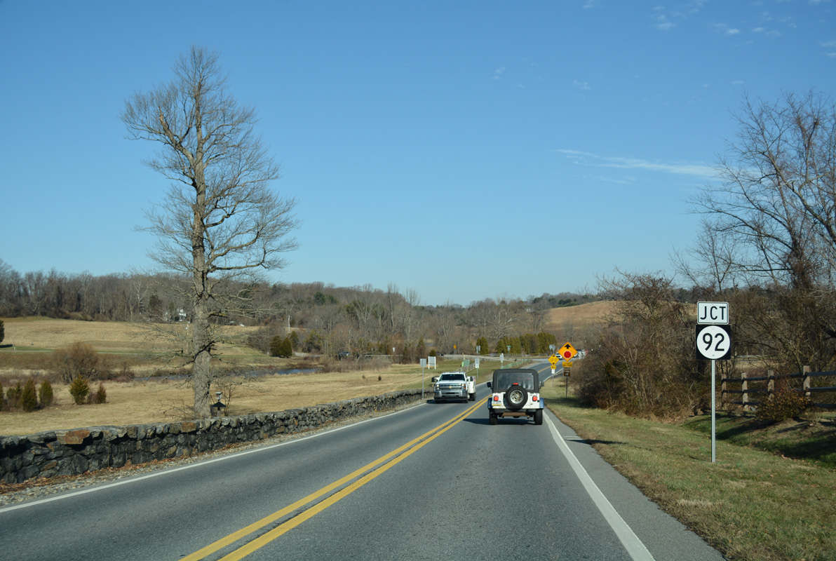
| SR 100 runs along the east side of Wilmington Country Club golf course and the Winterthur estate between Kirk Road and SR 92 (Thompson Bridge Road). 12/21/17 |
|
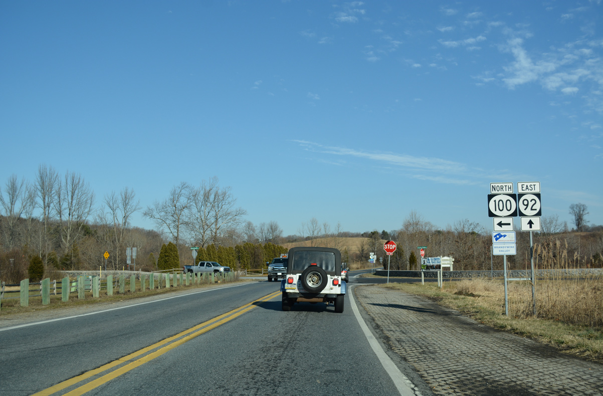
| The west end of SR 92 (Thompson Bridge Road) ties into SR 100 at Adams Dam Road south and Brandywine Creek State Park. Adams Dam Road (Road 232) connects both state routes with the main park access area and Rockland to the southeast. 12/22/16 |
|
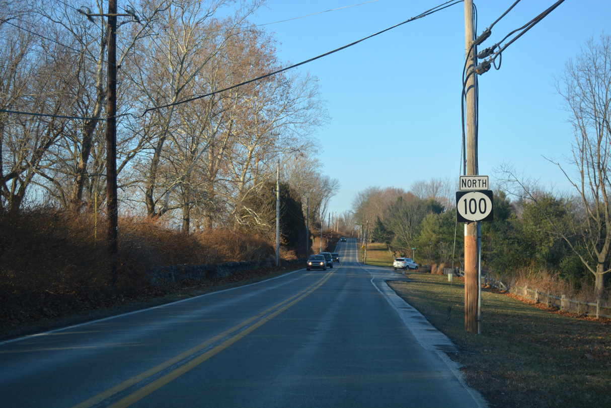
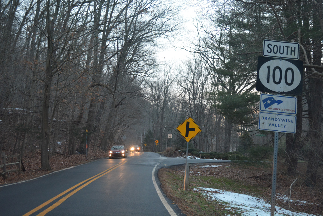
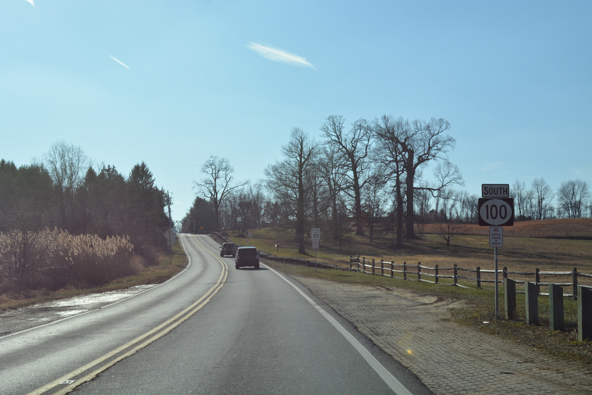
| SR 100 (Montchanin Road) meanders another 2.7 miles north from SR 92 and Adam Dam Road to the Pennsylvania state line. This follow up shield assembly is no longer posted. 12/18/04 |
|
| SR 92 commences a 8.8 mile route to Claymont along a scenic stretch through Brandywine Creek State Park. The state route follows a well traveled arterial route (Naamans Road) from U.S. 202 east through Brandywine Hundred. 12/22/16 |
|
| SR 100 leaves Brandwine Creek State Park ahead of Adams Dam Road north to Biderman Golf Course and Center Meeting Road. 12/18/17 |
|
| Continuing north from Adams Dam Road, the succeeding reassurance marker for SR 100 appears. 12/18/17 |
|
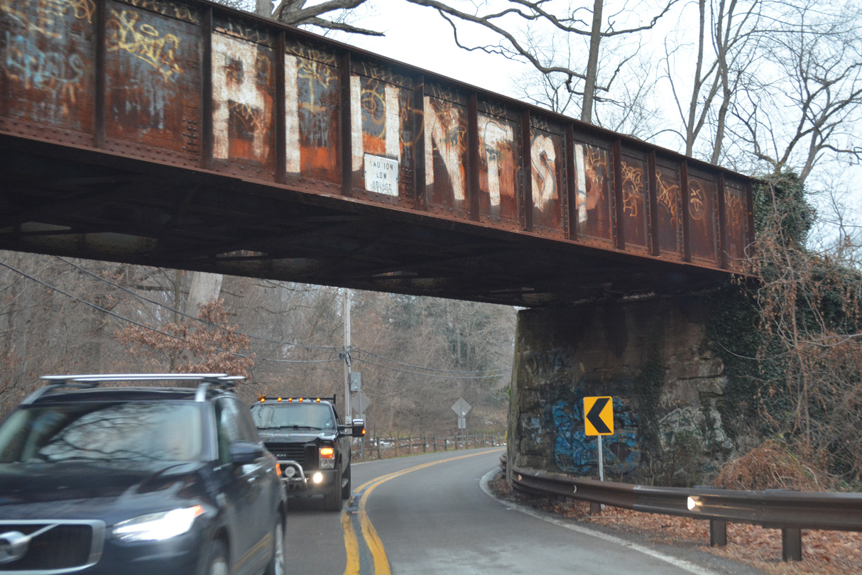
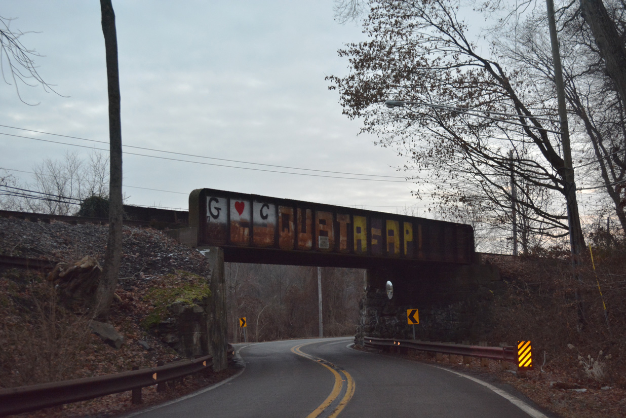
| The Delaware Valley Railroad spans SR 100 (Montchanin Road) across a steel girder bridge dating to 1945. 12/18/17 |
|
| Forthcoming Guyencourt Road loops east then south from SR 100 (Montchanin Road) back to SR 92 (Thompson Bridge Road). 12/18/17 |
|
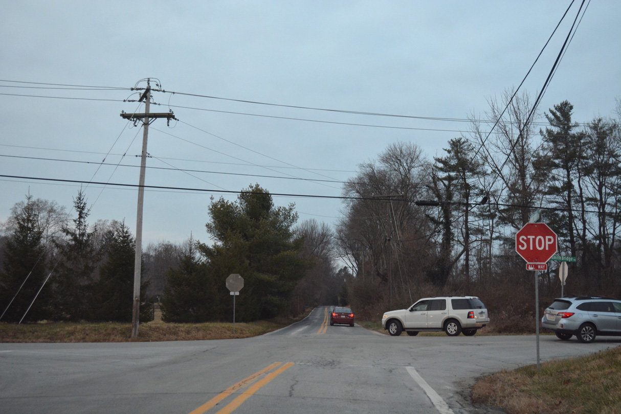
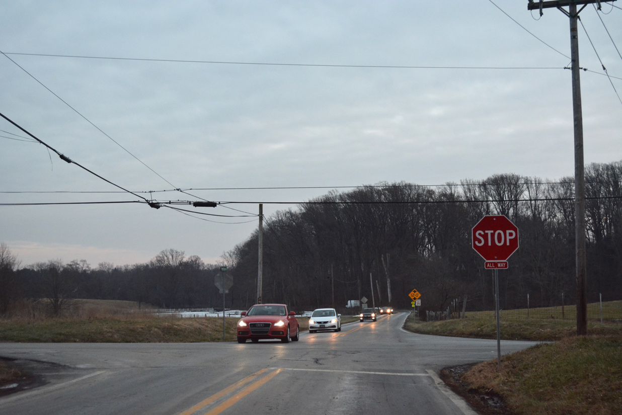
| Montchanin Road intersects Smith Bridge Road at a four-way stop. Smith Bridge Road angles northeast from Center Meeting Road to Smiths Bridge, a covered bridge crossing Brandywine Creek. 12/18/17 |
|
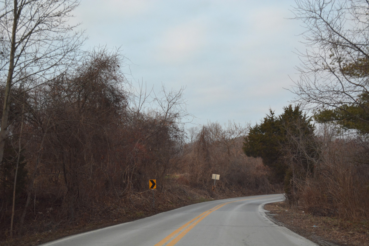
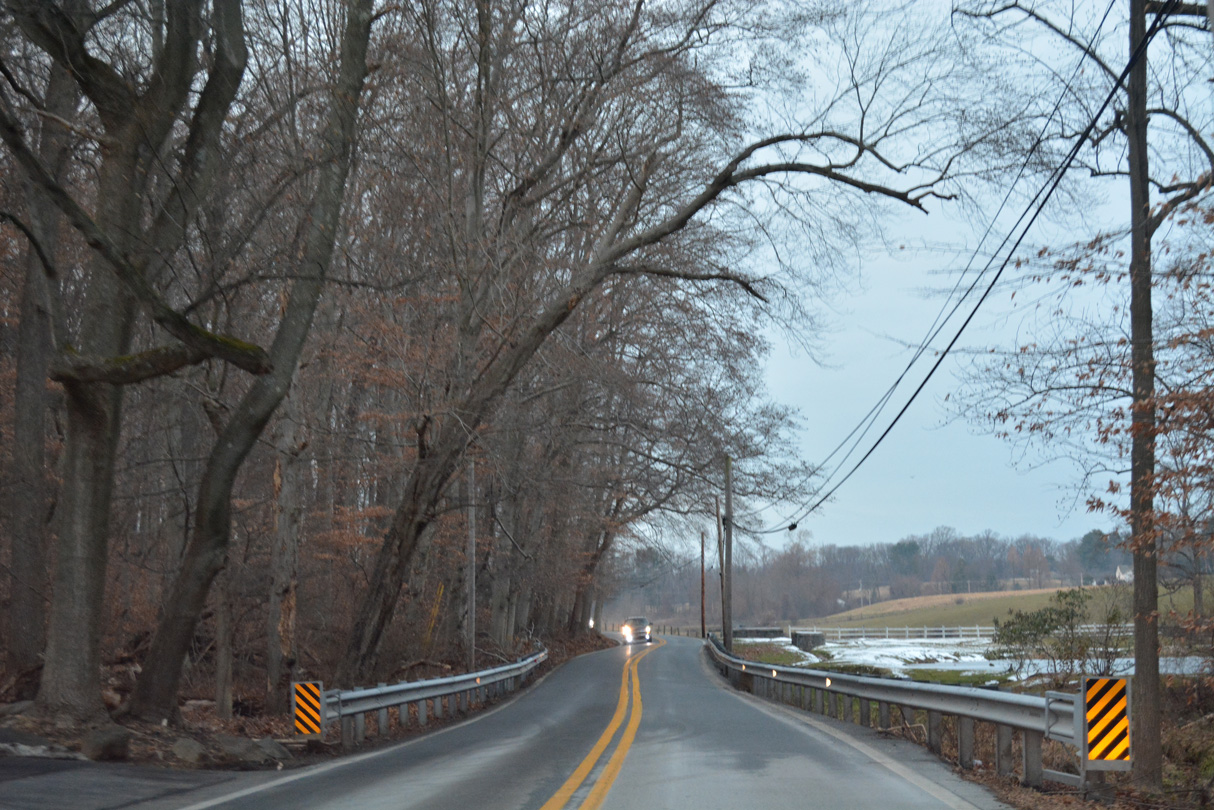
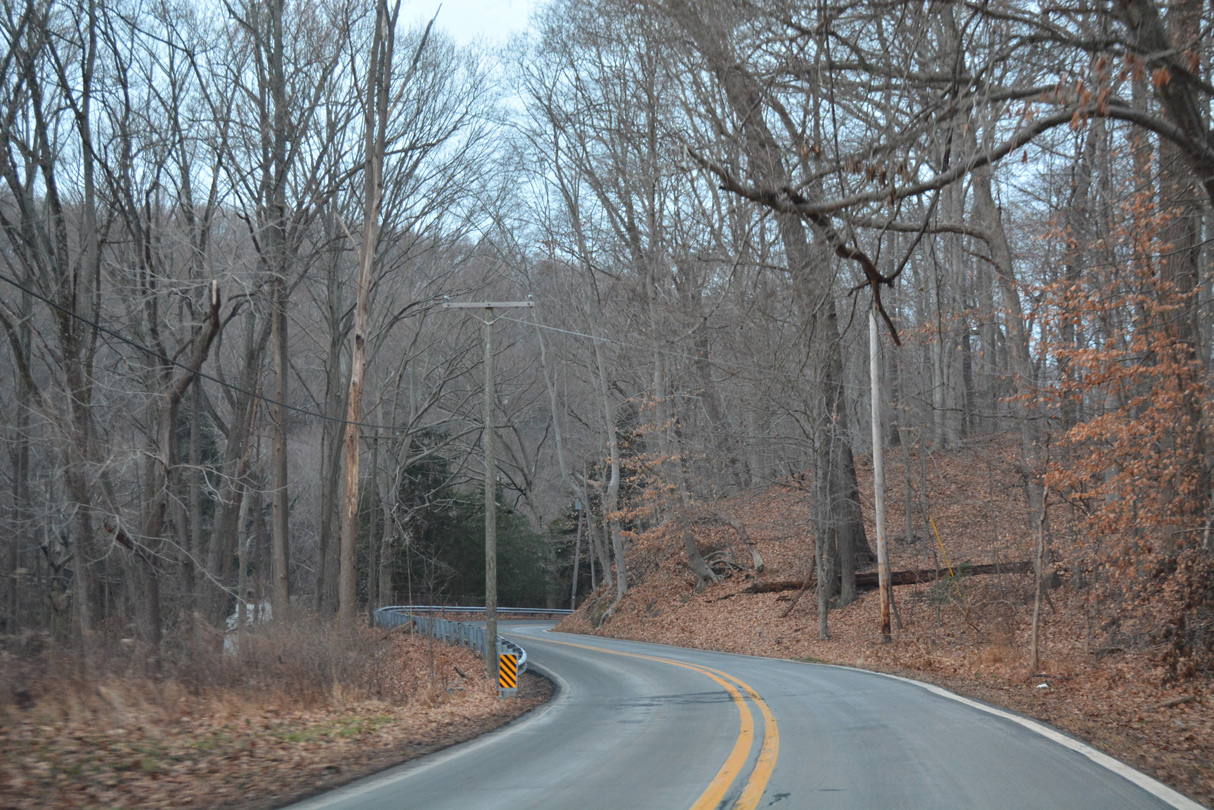
| SR 100 (Montchanin Road) weaves through a series of S-curves between Smith Bridge Road and Twaddell Mill Road. 12/18/17 |
|
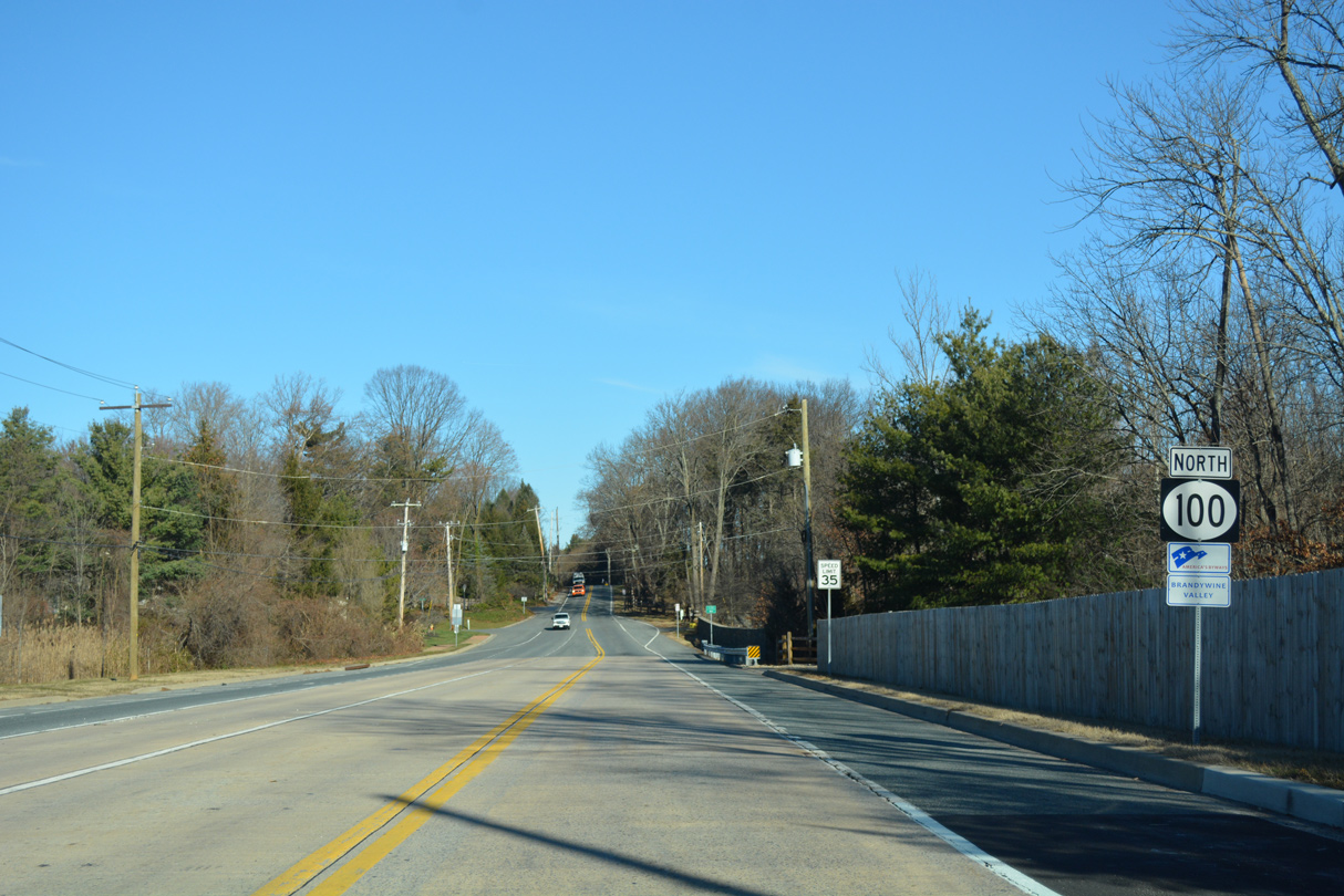
| SR 100 ends just north of Twaddell Mill Road as Montchanin Road transitions to Creek Road into Delaware County, Pennsylvania. There are no signs posted for the state boundary.
PA 100 formerly continued the multi state route north 2.8 miles to U.S. 1 at Chadds Ford. 12/18/17 |
|
| Creek Road enters New Castle County, Delaware and becomes Montchanin Road and SR 100. 12/18/17 |
|
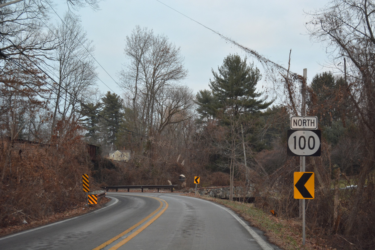
| The first shield for SR 100 south stands at the intersection with Twaddell Mill Road west to Centerville. 12/18/17 |
|
| Montchanin Road emerges from a winding stretch to intersect Smith Bridge Road at a four-way stop. 12/18/17 |
|
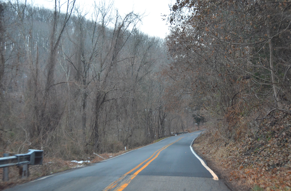
| SR 100 (Montchanin Road) advances south from Smith Bridge Road alongside a tributary of Wilson Run to Guyencourt. 12/18/17 |
|
| The Delaware Valley Railroad spans SR 100 (Montchanin Road) south of Guyencourt Road. SR 100 crosses the same line again just outside Wilmington. 12/18/17 |
|
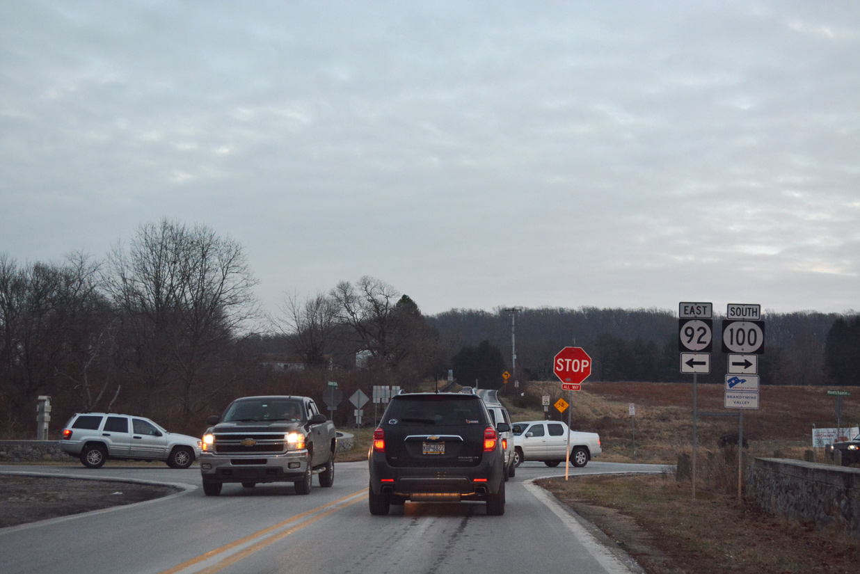
| SR 100 intersects the west end of SR 92 (Thompsons Bridge Road) and Adams Dam Road at Brandywine Creek State Park. SR 92 weaves northeast along a scenic route to Beaver Valley Road just off the commercial corridor along U.S. 202 (Concord Pike). 12/18/17 |
|
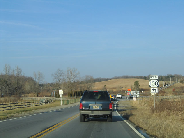
| SR 100 (Montchanin Road) advances south from SR 92 (Thompson Station Road) toward Montchanin, Greenville and Wilmington. 12/22/16 |
|
| Kirk Road links SR 100 and Montchanin with SR 82 (Campbell Road) north to Ashland and Yorklyn. The road also comprises a one way connector east to Rockland Road. 12/22/12 |
|
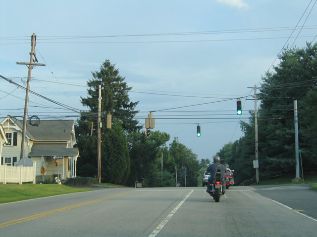
| Eagle Flatback signals previously operated at SR 100 (Montchanin Road) and Kirk Road. 08/01/04 |
|
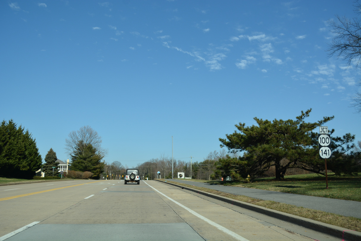
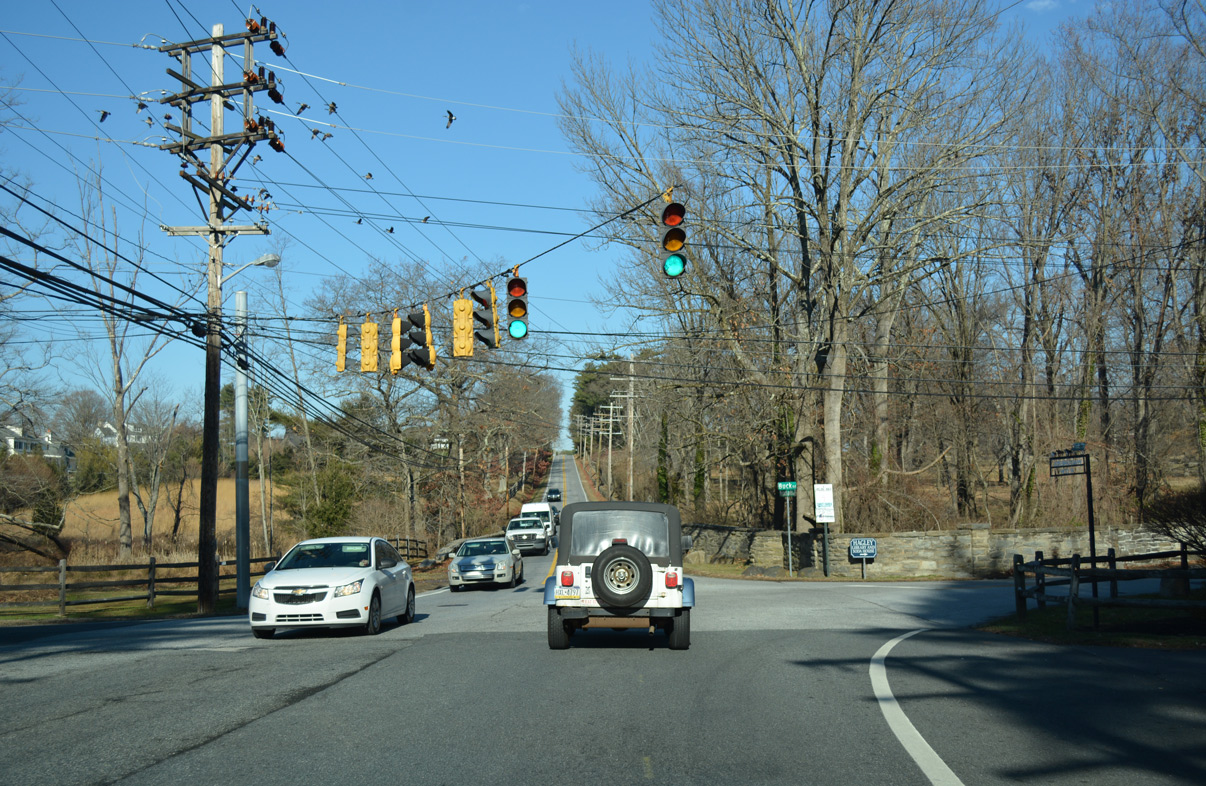
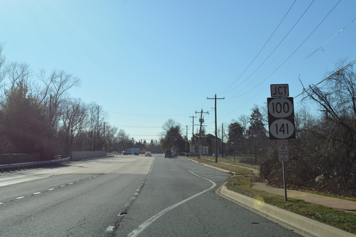
| SR 100 parts ways with Montchanin Road and its former alignment south to Wilmington and joins SR 141 (Barley Mill Road) south. The two routes run concurrently for 1.45 miles to SR 48 (Lancaster Pike). 12/20/16 |
|
| SR 100 (Montchanin Road) and 141 (Barley Mill Road) intersect just east of a parclo interchange joining the SR 141 expressway with SR 52 (Kennett Pike). Montchanin Road provides the movement from SR 141 south to SR 52 east into Wilmington in lieu of a direct ramp. 12/20/16 |
|
| SR 141 constitutes a belt route to the north and west of Wilmington. The state route ends at U.S. 202 (Concord Pike) and SR 261 (Foulk Road0 near Fairfax to the east. 12/20/16 |
|
| Confirming markers for SR 48 east / SR 100 south at the start of their 0.92 mile overlap. This set of shields was missing by 2016 and finally replaced in 2020. 04/26/04 |
|
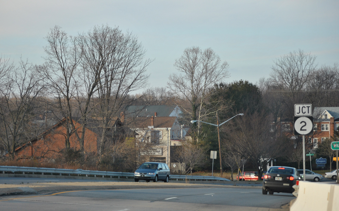
| Lancaster Pike leads both SR 48 east / SR 100 south one mile from SR 141 (Centre Road) to the city of Wilmington. 12/20/16 |
|
| Nearing the Wilmington city line and the southbound split of SR 100 from SR 48 (Lancaster Pike) east. 12/20/16 |
|
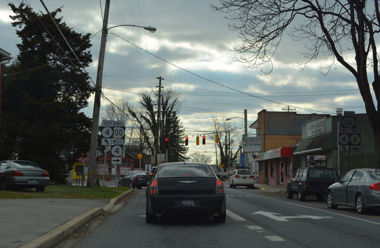
| SR 48 follows Lancaster Avenue east through the Greenhill neighborhood of Wilmington toward Downtown while SR 100 joins South Dupont Road to Elsmere. 12/20/16 |
|
| SR 100 (Dupont Road) concludes 1.64 miles to the south at SR 4 (Maryland Avenue) in Richardson Park. 12/20/16 |
|
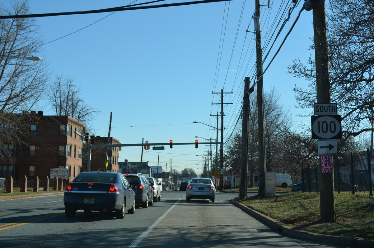
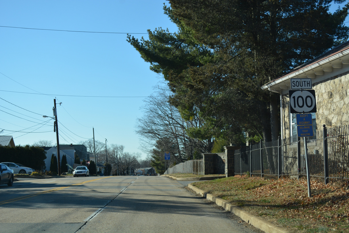
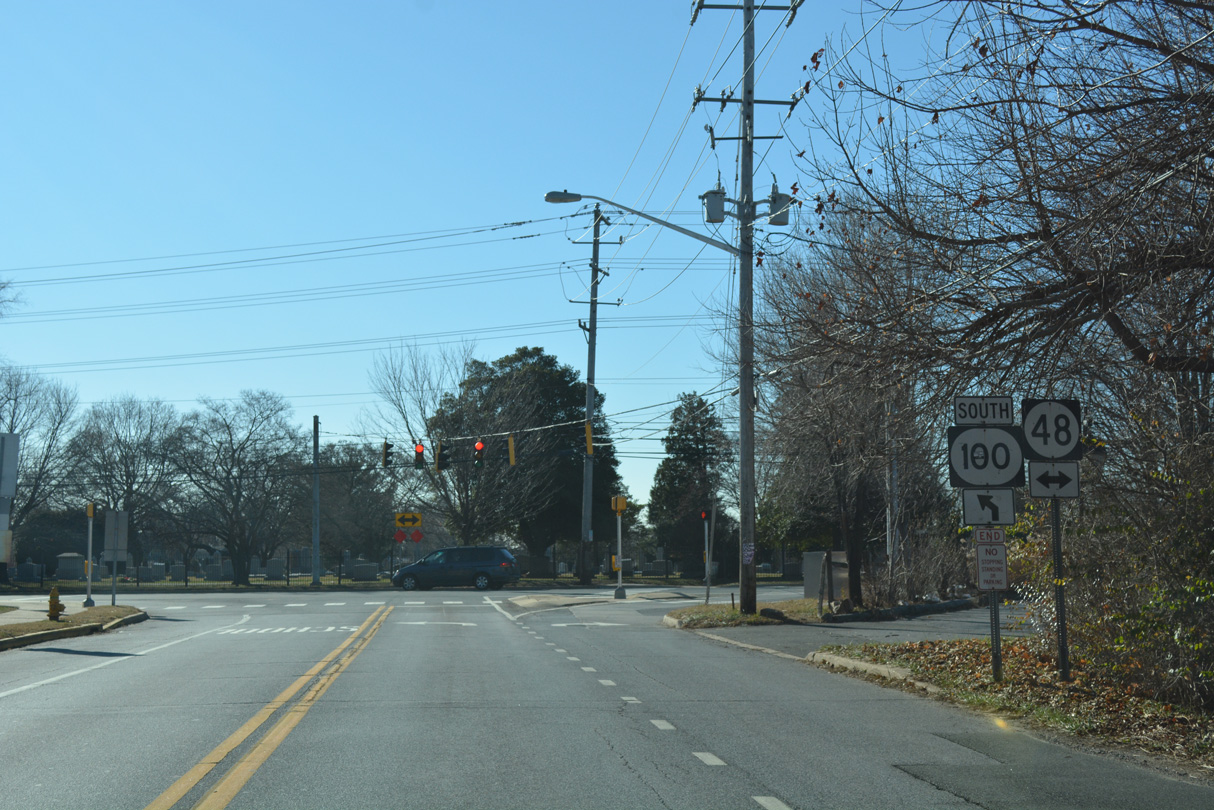
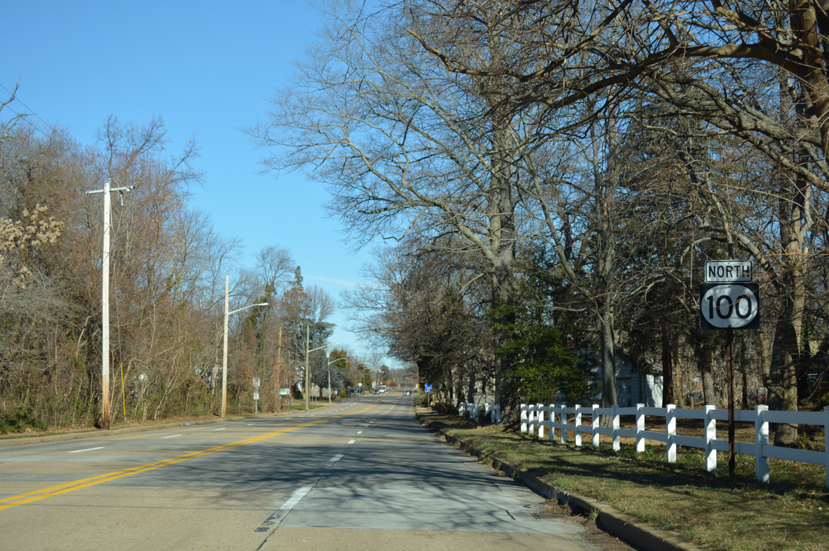
| Confirming shield for SR 100 south along S Dupont Road between Silverbrook Cemetery and the Colonial Park community. S Dupont Road carries four lanes to Richardson Park. 12/20/16 |
|
| Decommissioned in 2019, SR 34 was a 3.30 mile route along Faulkland Road west from SR 100 at Lancaster Village. Generally serving local or commuter traffic, Faulkland Road leads west to Delledonne Corporate Center, residential areas north of Prices Corner, and Brandywine Springs Park to SR 41 (Newport Gap Pike). 12/20/16 |
|
| S Dupont Road shifts southward from the traffic light at Faulkland Road through the Lancaster Village street grid. 12/20/16 |
|
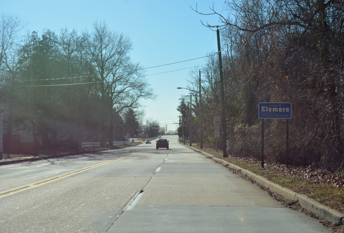
| Two blocks south of Faulkland Road, SR 100 (S Dupont Road) enters the town of Elsmere. 12/20/16 |
|
| Cleveland Avenue angles southwest from SR 48 (Lancaster Avenue) and Wilmington to tie into N Dupont Road ahead of this reassurance marker. 12/20/16 |
|
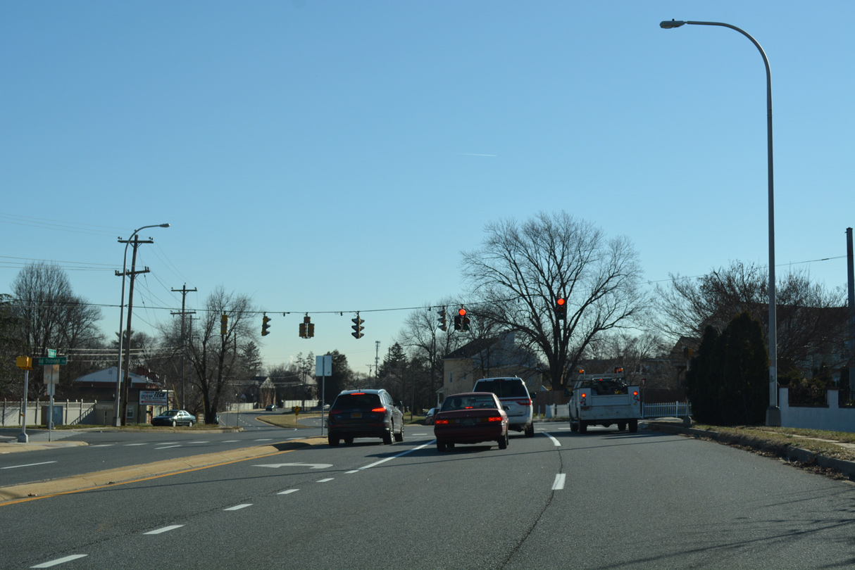
| N Dupont Road lowers from a bridge across the Delaware Valley Railroad to back to back signals with New Road and SR 2 (Kirkwood Highway). 12/20/16 |
|
| New Road spurs east to an industrial area beside the CSX Railroad and west to the Elsmere business district at Sanders Road and SR 2 (Kirkwood Highway). 12/20/16 |
|
| SR 2 (Kirkwood Highway) travels across the heart of Elsmere as a busy arterial route west to Prices Corner. The state route elevates onto a viaduct above the adjacent CSX and Delaware Valley Railroads to Union Street into Wilmington. 12/20/16 |
|
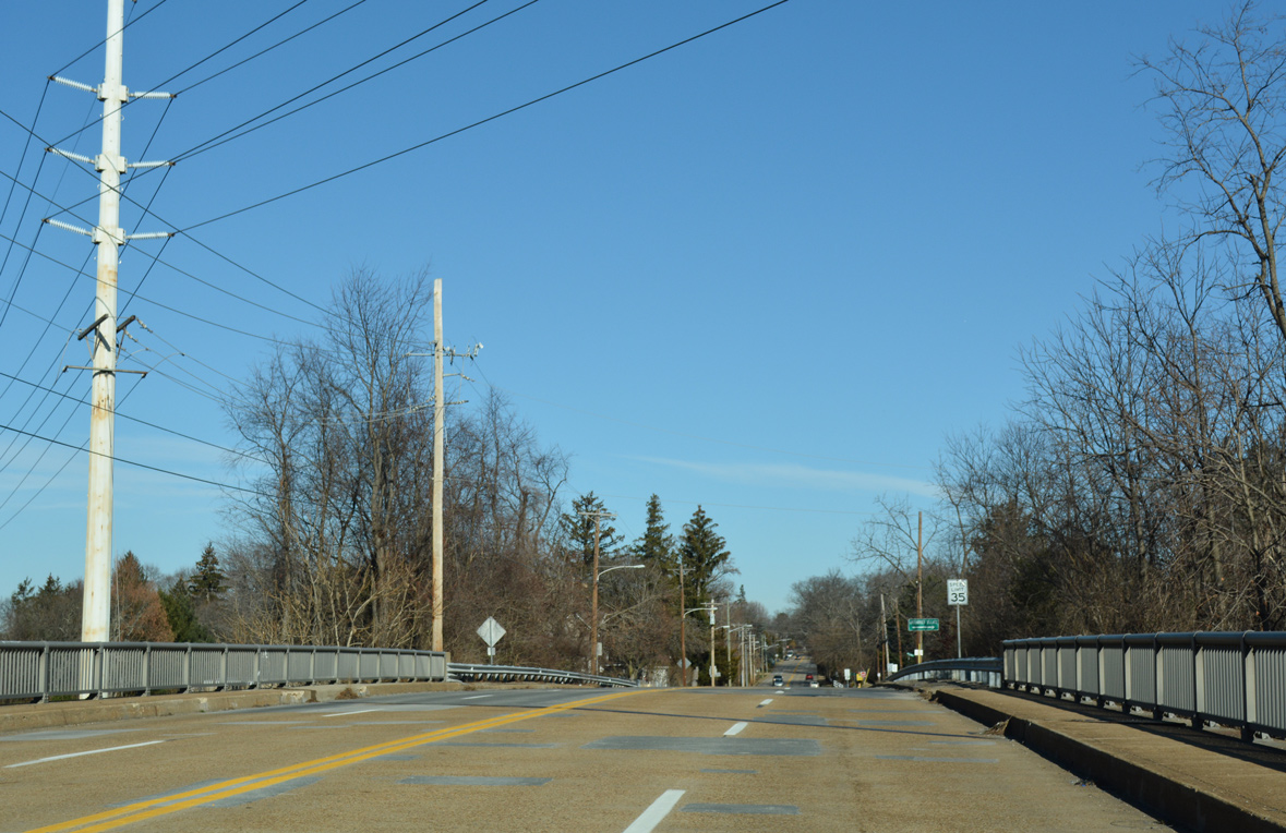
| SR 100 (S Dupont Road) rises to span Baltimore Avenue, the CSX Railroad line, and B and O Lane on a viaduct built in 1980. The reassurance marker posted south of SR 2 was replaced with a speed limit 35 sign by 2012. 12/20/16 |
|
| The four lane bridge replaced a two lane alignment and at-grade railroad crossing to the east. SR 100 lowers to grade level beyond the Elsmere town line at Richardson Park. 12/20/16 |
|
| Old Dupont Road converges with SR 100 (N Dupont Road) across from Howard Avenue, a residential street south through Richardson Park. 12/20/16 |
|
| Curving east, SR 100 separates into a one way couplet beyond Eureka Street. Northbound follows Race Street while southbound concludes along N Dupont Road. 12/20/16 |
|
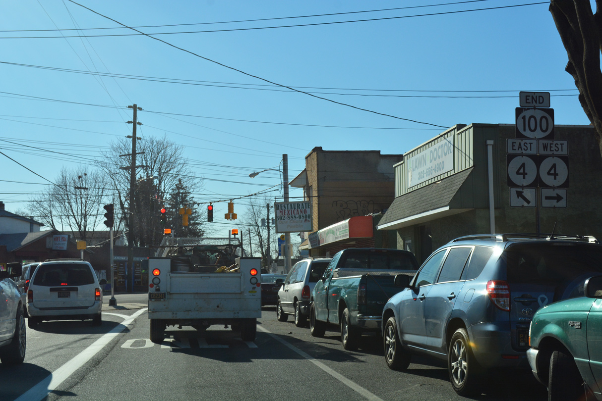
| A pair of end shields stand along N Dupont Road ahead of the intersection joining SR 100 with SR 4 (Maryland Avenue) in the Richardson Park business district. 12/19/22 |
|
| SR 4 (Maryland Avenue) constitutes a four lane arterial east to Browntown in Wilmington and west through Richardson Park to Newport. 12/20/16 |
|
| Formerly inventoried as an unsigned branch of SR 100, S Dupont Road extends 0.54 miles from SR 4 to Middleboro Road (unsigned SR 62) near Banning Park. 12/19/22 |
|
| N Dupont Road leads away from SR 48/100 (Lancaster Avenue) and straddles the Wilmington city line to the Westmoreland and West Haven neighborhoods. A truck restriction along this former stretch of SR 100 prohibits vehicles exceeding 5,000 pounds. 12/20/16 |
|
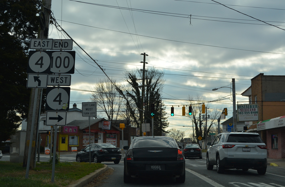
| This shield assembly still references the former turn of SR 100 south from N Dupont Road to SR 48 (Lancaster Pike) east. 12/20/16 |
|
| Kirk Road east at SR 100 (Montchanin Road) and Montchanin. 12/21/17 |
Sources:
- "Route 100 loses its way through West Chester." The Philadelphia Inquirer (PA), October 9, 2003.
03/20/04, 04/26/04, 08/01/04, 12/18/04, 12/22/12, 12/28/12, 12/20/16, 12/22/16, 12/30/16, 12/18/17, 12/20/17, 12/21/17, 12/23/17, 12/19/20, 12/19/22 by AARoads
Connect with:
State Route 2
State Route 4
State Route 48
State Route 52
State Route 92
State Route 141
Route 100
Page Updated 01-07-2023.


 North
North
 West
West