Mobile County Route 41 travels 25.3 miles northward along Celeste Road from U.S. 43 and SR 213 in Saraland to Center and Main Streets in Citronelle. The southern portion of the route is a three lane suburban boulevard.
|
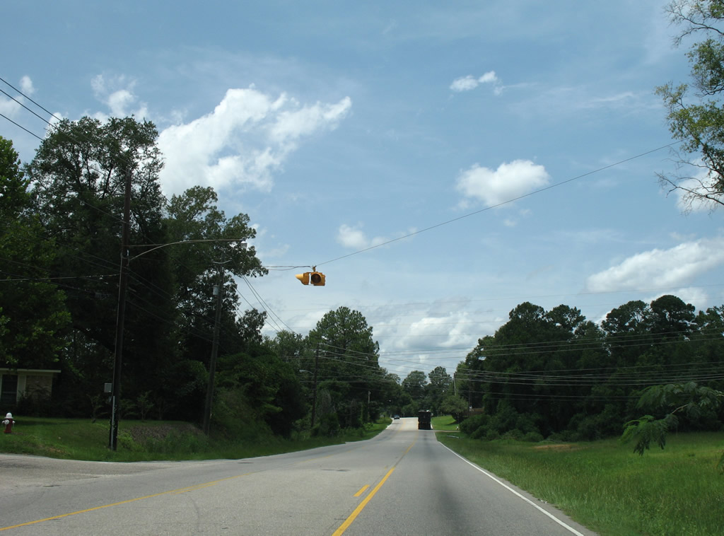
| Heading west from U.S. 43 (Telegraph Road), CR 41 (Celeste Road) intersects the north end of Lafayette Drive at this flasher. Lafayette Drive leads south as a neighborhood street to Norton Avenue near SR 213 (Shelton Beach Road). 07/17/07 |
|
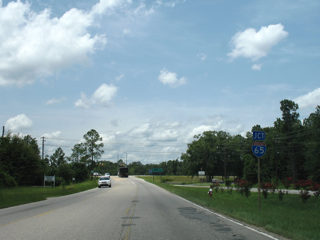
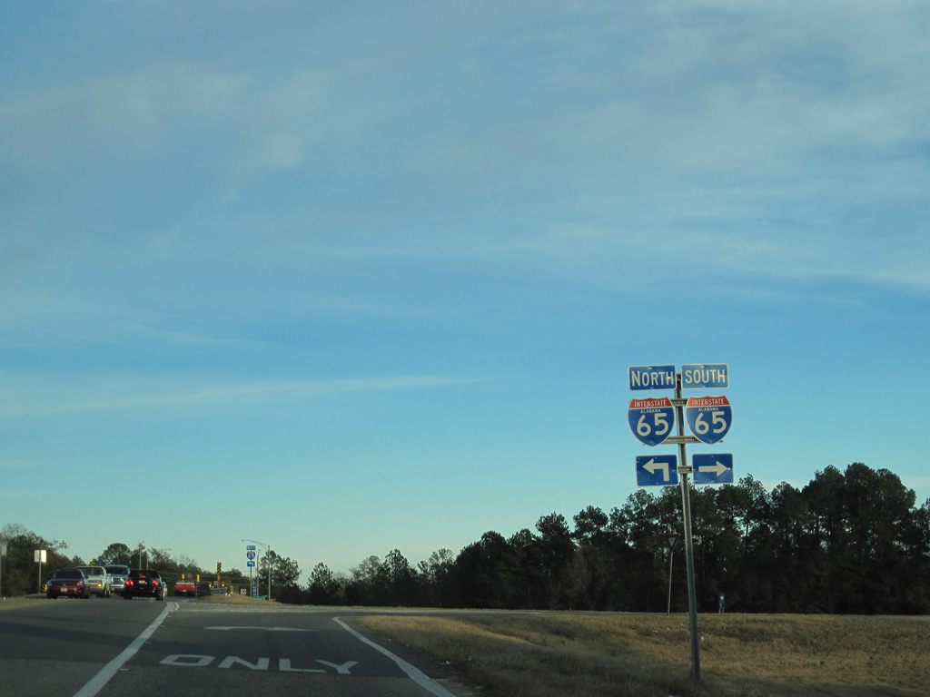
| A diamond interchange joins CR 41 (Celeste Road) with Exit 15 of Interstate 65 in Saraland. 07/17/07 |
|
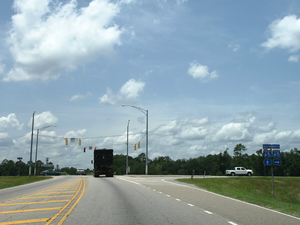
| Interstate 65 curves northeast from Celeste Road into the city of Satsuma from its exit with CR 41. 07/17/07 |
|
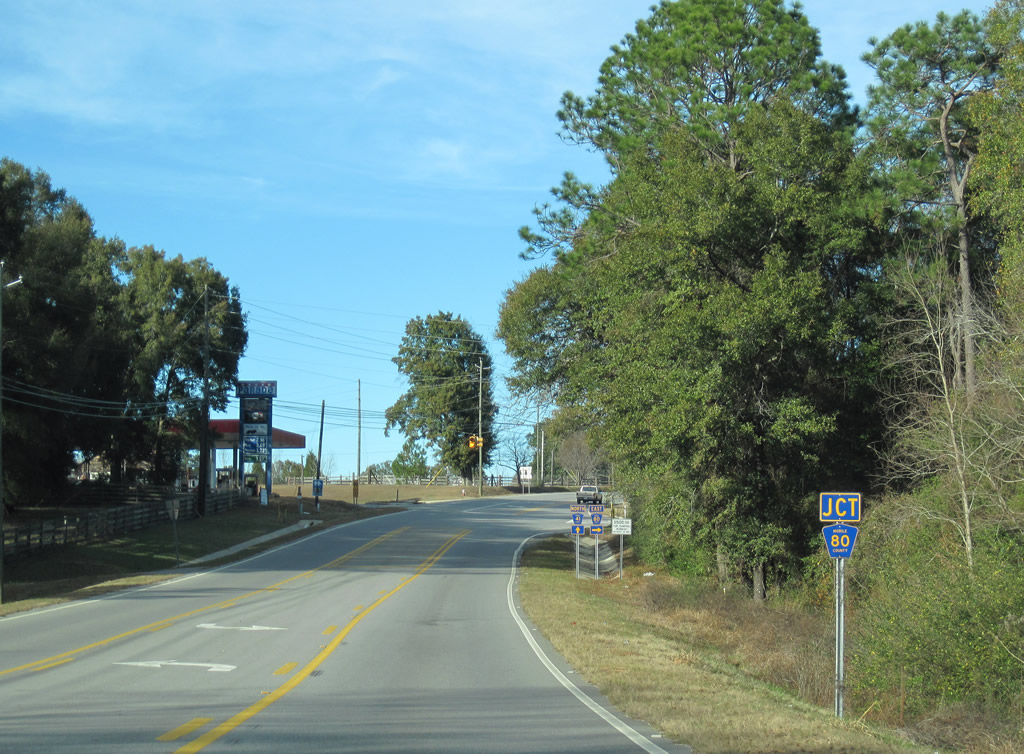
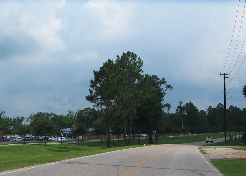
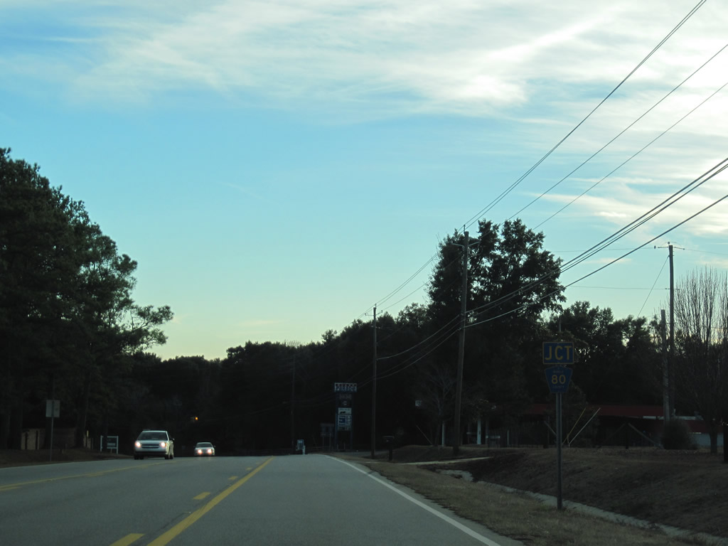
| Celeste Road straddles northern reaches of Saraland and continues one mile north to CR 80 (Radcliff Road). 01/02/11 |
|
| Radcliff Road carries CR 80 east to Hatters and U.S. 43 at Creola. 01/02/11 |
|
| Leaving the west end of CR 84 (Salco Road) toward Turnerville on CR 41 (Celeste Road) north. 01/02/11 |
|
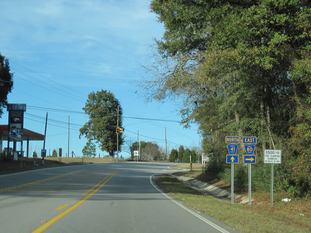
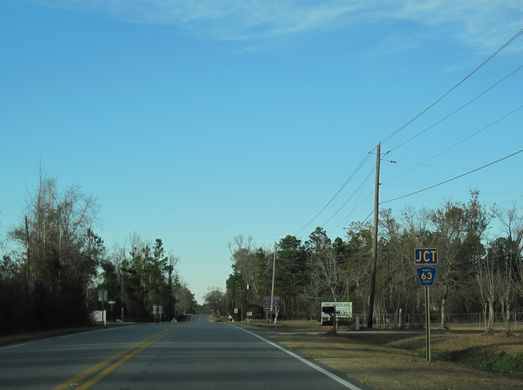
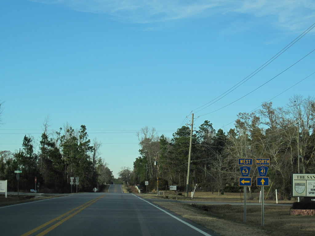
| One half mile north of Turnerville is the westbound beginning of CR 63 (Roberts Road). 01/02/11 |
|
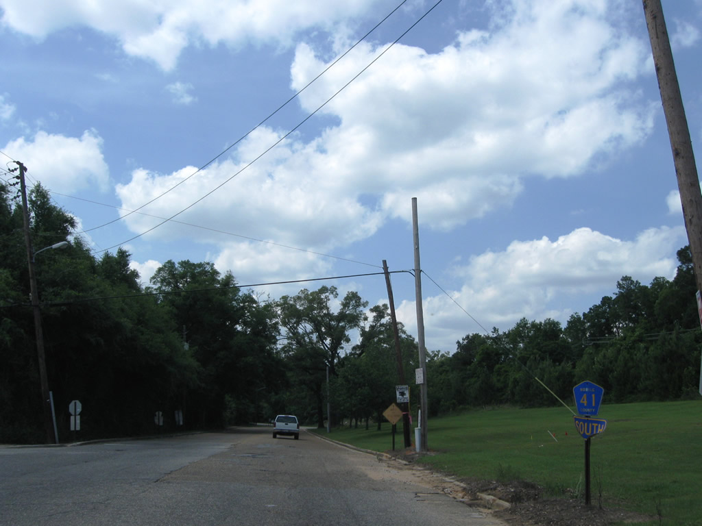
| CR 63 angles southwest from CR 41 via Roberts Road to U.S. 45 at Chunchula. 01/02/11 |
|
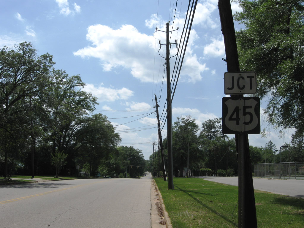
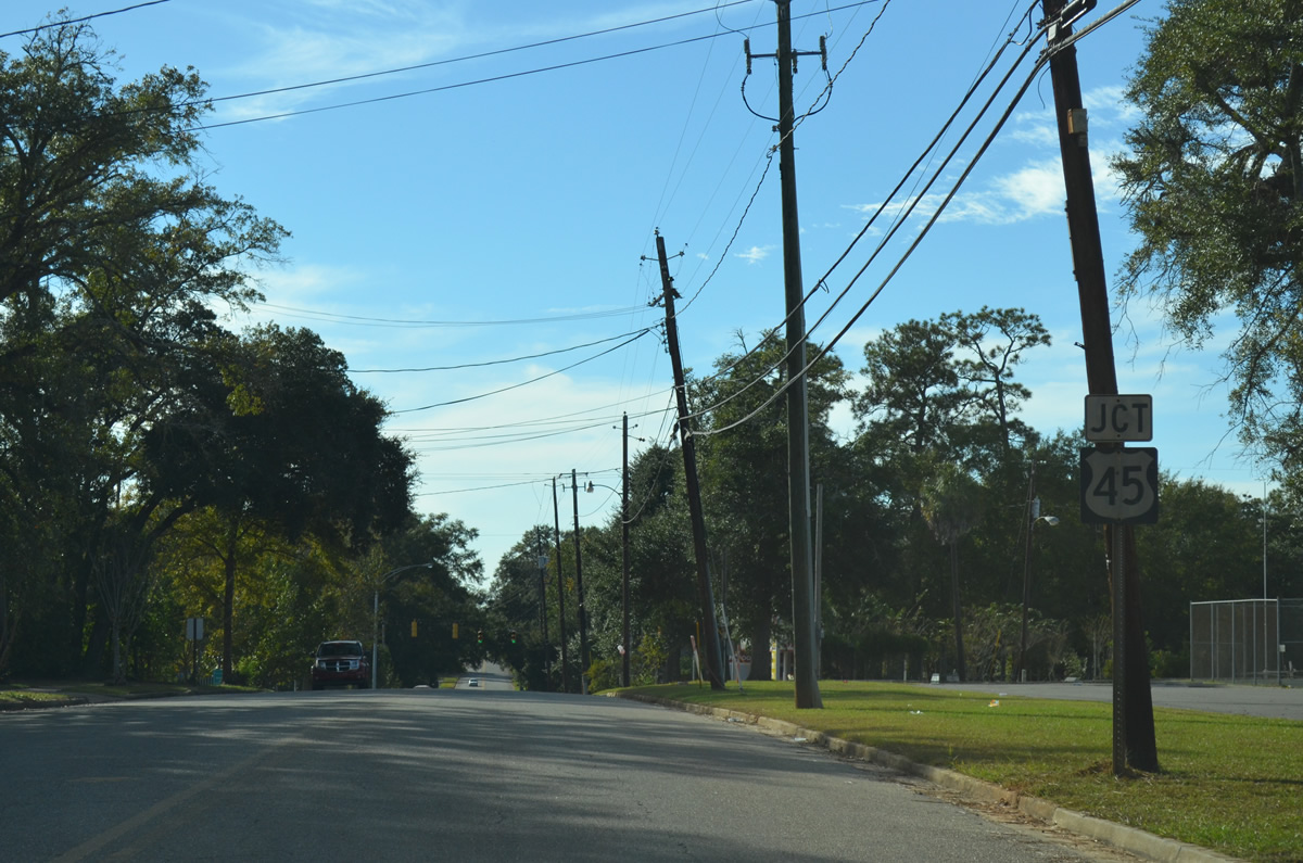
| CR 41 (Celeste Road) enters Citronelle adjacent to U.S. 45, with both highways paralleling each other opposite a rails to trails path. 06/01/10 |
|
| CR 41 follows Center Street northeast and branches away from U.S. 45 (3rd Street) toward downtown Citronelle. Main Street commences and lines the west side of the rails to trails path. 06/01/10 |
|
| CR 41, unsigned here, turns northward from Newberry Crossing onto Coy Smith Highway in Citronelle. East State Street begins and heads west as an unsigned western branch of CR 41 to U.S. 45 (3rd Street) and CR 96. The intersection here includes an old traffic signal box, but the signal it used to operate is long gone. 06/01/10 |
|
| Main Street carries CR 41 north from the intersection with State Street to CR 96 (Lebaron Avenue) at the Coy Smith Highway. CR 41 ends silently one block east of the CR 35 northbound beginning (Mobile Street). 05/09/09 |
|
| An unsigned branch of CR 41 follows State Street, linking Center Street with U.S. 45 (3rd Street) at CR 96 (State Street) west. The east-west leg of County Road 41 lowers from Center Street to Main Street in this scene. 06/01/10 |
|
| Older style U.S. 45 shield posted along unsigned CR 41 (East State Street) westbound in the city of Citronelle. U.S. 45 follows 3rd Street through the city. CR 41 meanwhile follows Center Street and Main Street northward from Celeste Road to CR 96 (Lebaron Avenue) to the east. 05/09/09, 10/21/12 |
|
| State Street becomes a part of CR 96 leading west from U.S. 45 (3rd Street) in Citronelle. Unsigned here, CR 96 continues west along Prine Road to Beverly Jeffries Highway and MS 594. U.S. 45 heads south to Russell, Gulfcrest and Prichard and north to Deer Park and State Line, Mississippi. 05/09/09 |
|
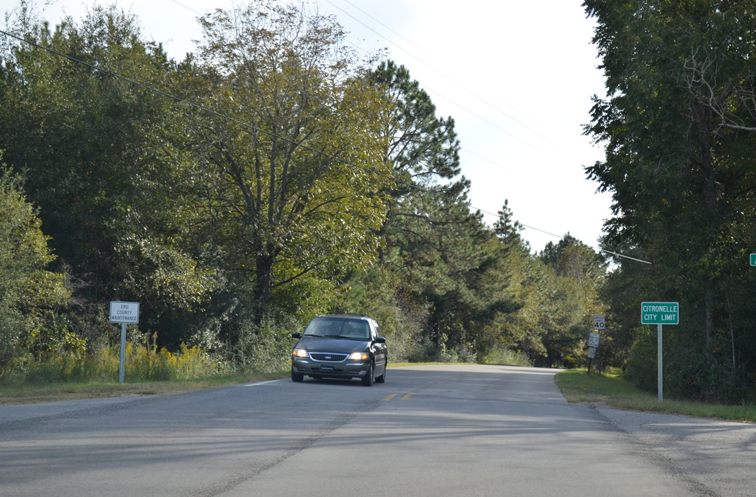
| CR 35 transitions into Odom Road at the Mobile County line. Some maps show Odom Road as a part of CR 41, but no signs are posted along the road leading south into the city of Citronelle. An end county maintenance sign coincides with a city limits sign for Citronelle in this southbound scene. 10/21/12 |
|
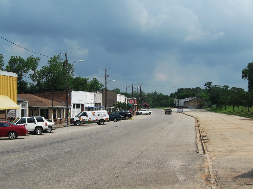
| CR 41 begins at the CR 96 turn from Coy Smith Highway west onto Lebaron Avenue in the city of Citronelle. County Road 41 travels Main Street south parallel to an abandoned railroad grade and an almost equally abandoned collection of store fronts. 05/09/09 |
|
| CR 41 turns east onto Newberry Crossing at East State Street. The crossing joins Main Street with Center Street south, CR 41's path to Celeste Road. 05/09/09 |
|
| Drivers on Celeste Road southbound leave Turnerville and travel one mile to CR 84 (Salco Road). 01/02/11 |
|
| CR 84 meanders east from CR 41 to U.S. 43 at Salco. 01/02/11 |
|
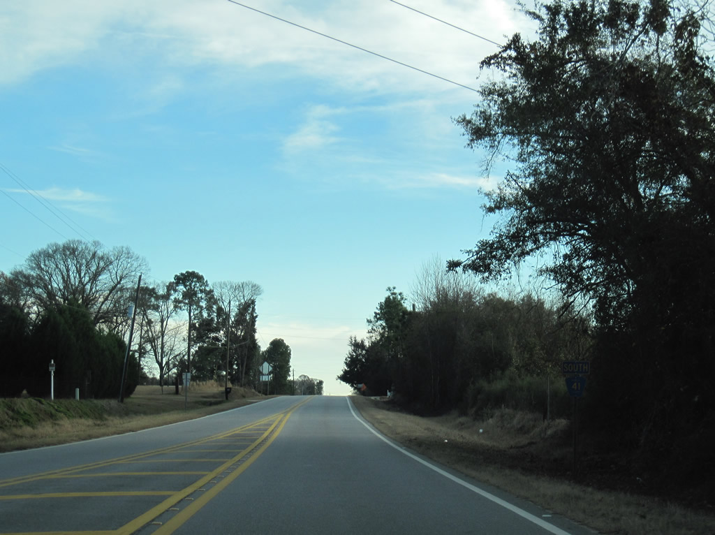
| Southbound reassurance shield of CR 41 posted on Celeste Road after the west end of CR 84 (Salco Road). 01/02/11 |
|
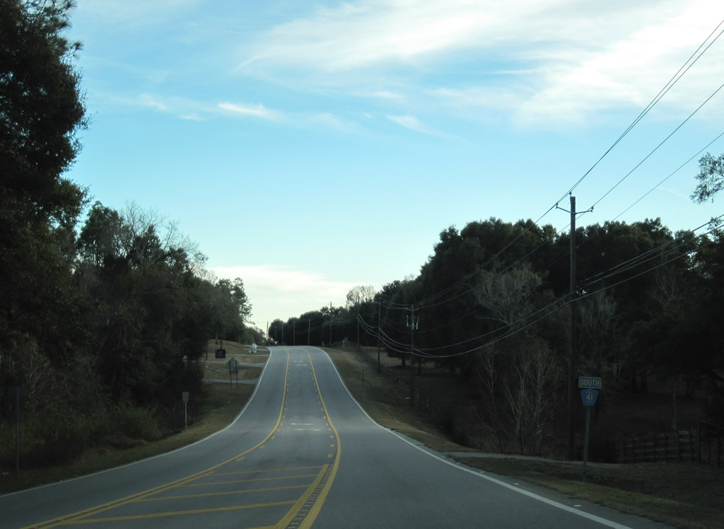
| The west end of CR 80 occurs at CR 41 (Celeste Road) at northern reaches of Saraland. 01/02/11 |
|
| County Road 80 stems east from Celeste Road to Hatters and Creola, ending at U.S. 43 one mile north of Interstate 65 (Exit 19). 2011-01-02 01/02/11 |
|
| CR 41 gains residential side streets as it continues south into Saraland to Lafitte Road. 01/02/11 |
|
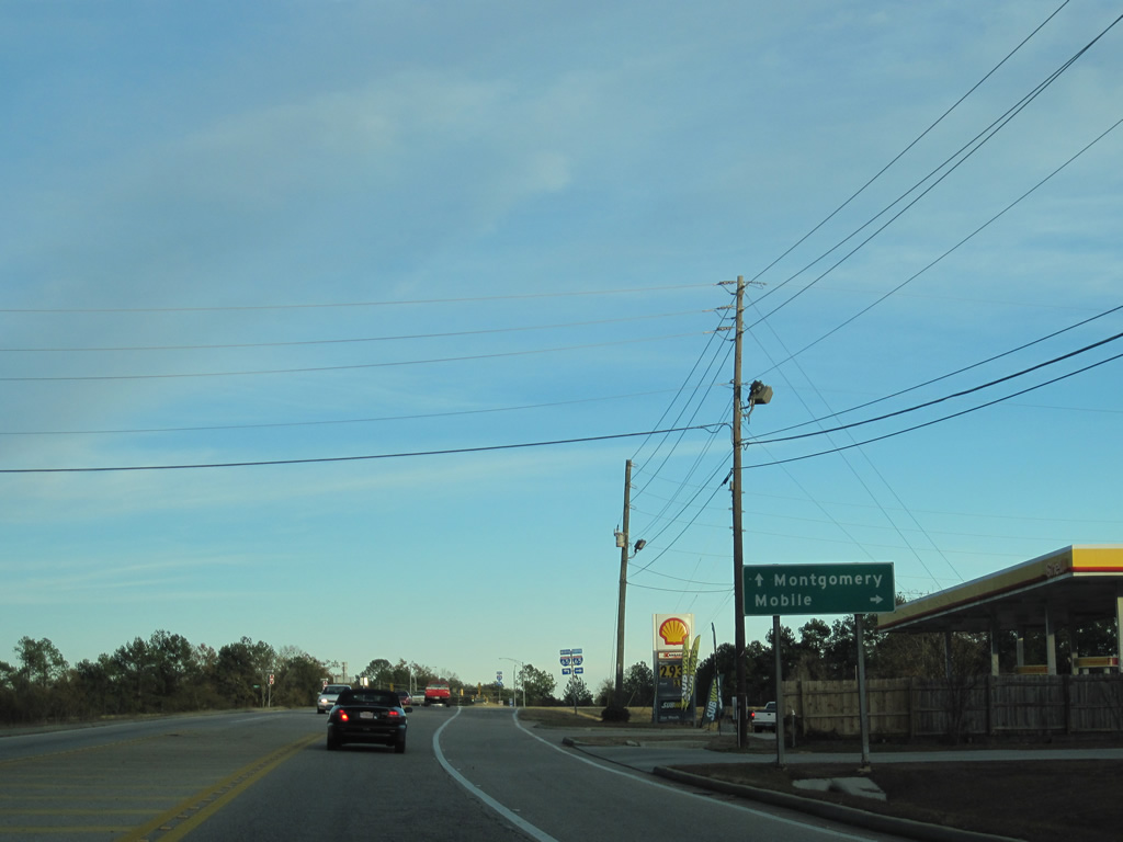
| Celeste Road curves eastward from Lafitte Road and meets Interstate 65 at a diamond interchange. 01/02/11 |
|
| Interstate 65 travels south 15 miles to Interstate 10, the southern terminal of the 887 mile route. Northward, the freeway continues 155 miles to the capital city of Montgomery. 01/02/11 |
Page Updated 10-24-2012.


 North
North