County CE stretches east from the Wis 441 freeway and Appleton city lines across Kimberly, Combined Locks and Kaukauna in Outagamie county. The trunk highway ends at Holland and CTH-D in southwest Brown County.
|
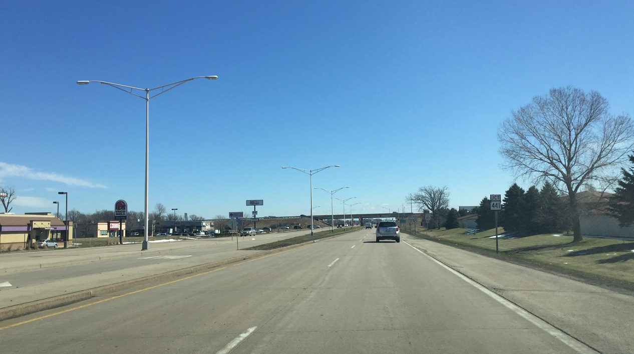
| College Avenue expands from a four lane residential boulevard into a divided arterial at Kensington Drive preceding the diamond interchange with Wis 441. 03/28/16 |
|
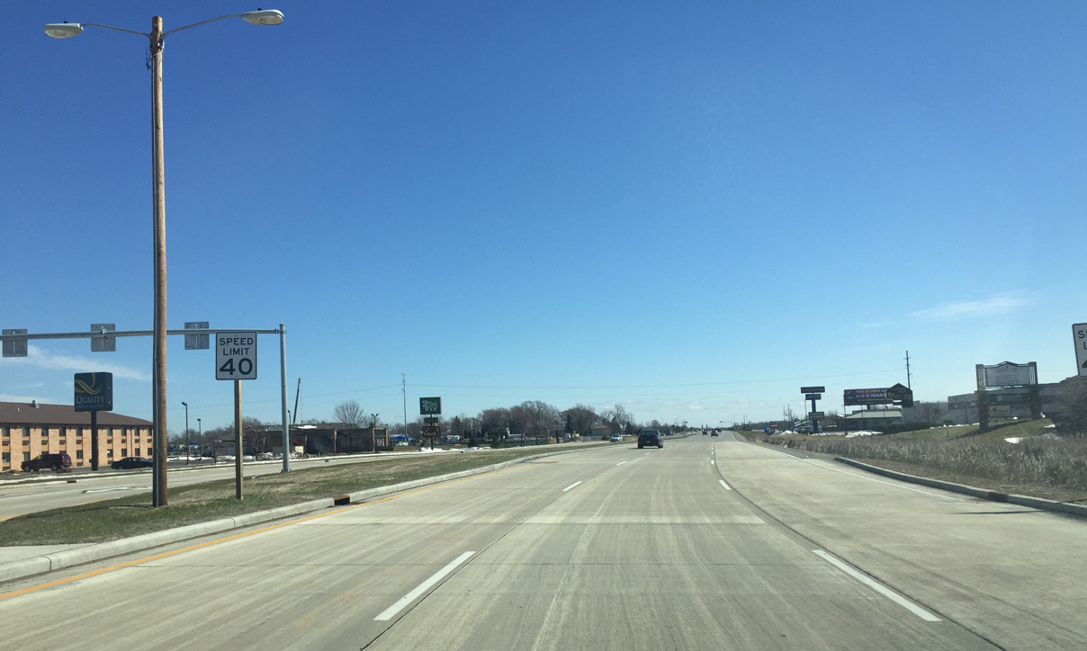
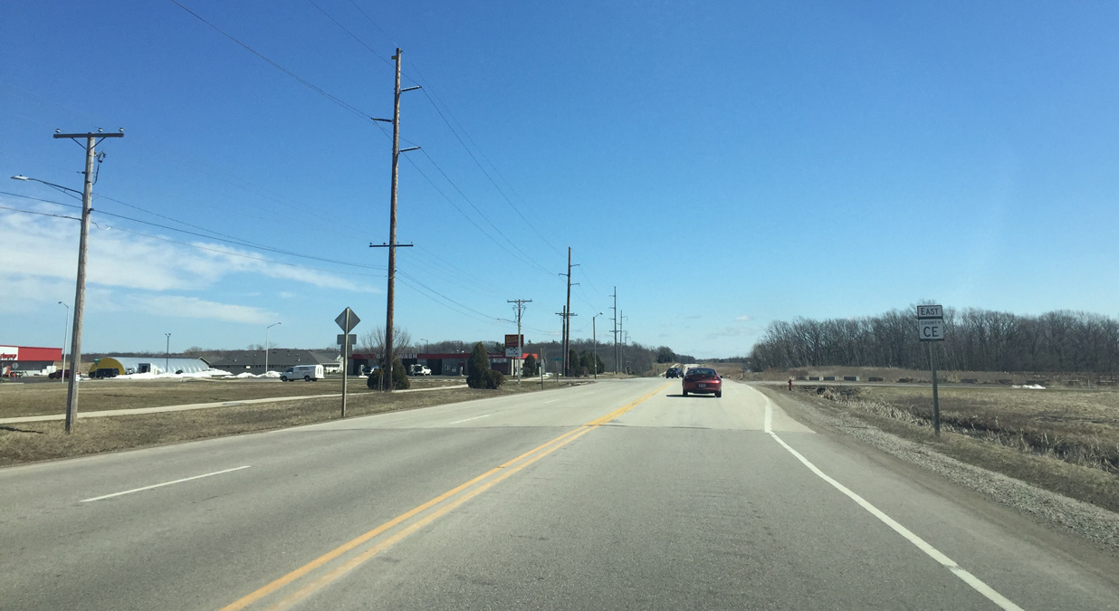
| The first sign referencing County CE appears before the southbound on-ramp for Wis 441. STH-441 encircles Appleton south and west through Calumet and Winnebago Counties to connect the city with I-41 south to Oshkosh and U.S. 10 west to Waupaca. 03/28/16 |
|
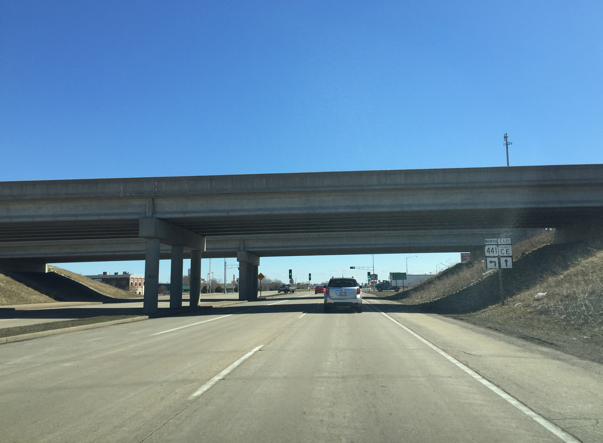
| County CE continues east into the village of Kimberly as Wis 441 north spans the Fox River to Little Chute and I-41 north to Green Bay. 03/28/16 |
|
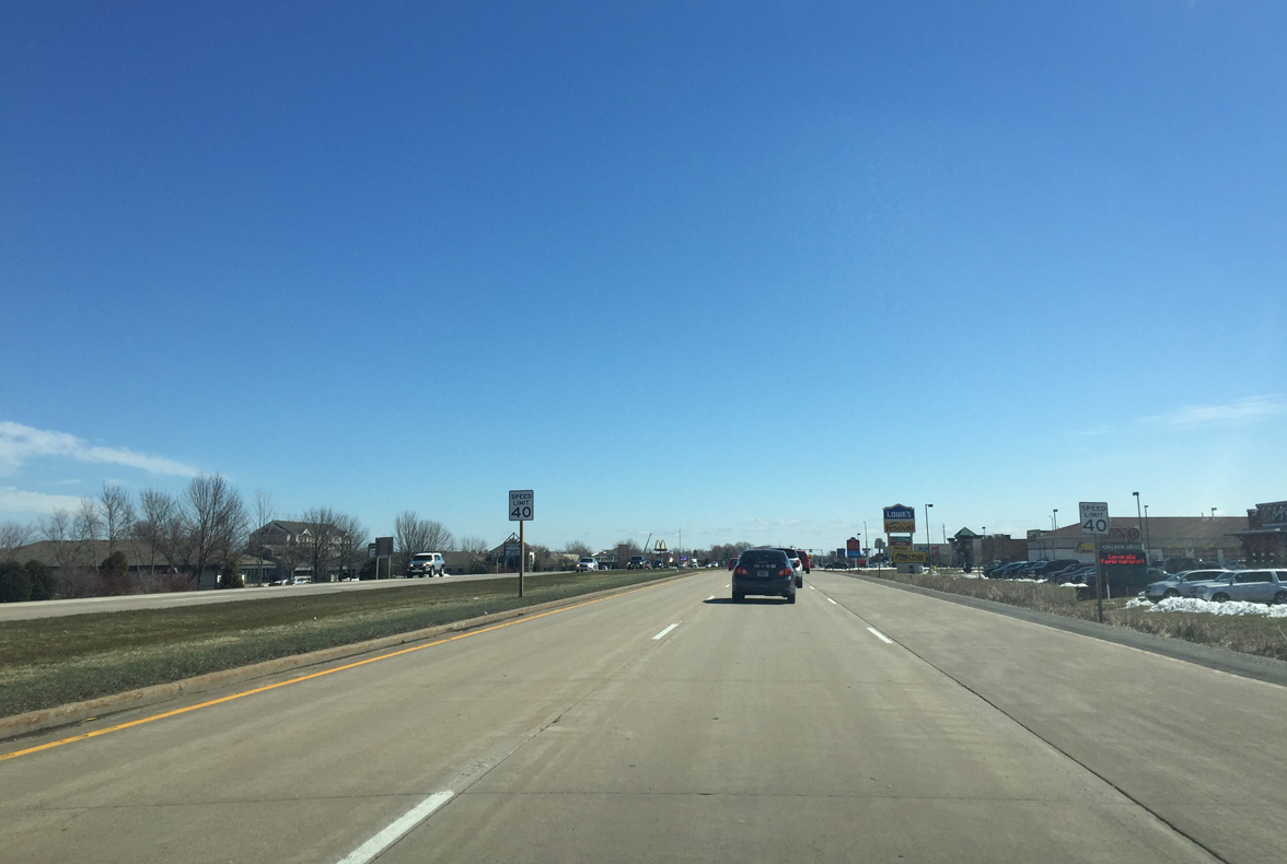
| County CE (College Avenue) expands to three eastbound lanes to Eisenhower Drive. Big box stores and other retail line the south side of the expressway along this stretch. 03/28/16 |
|
| A three lane roundabout replaced a signalized intersection with Eisenhower Drive due to heavy traffic at that intersection. 03/28/16 |
|
| County CE east with three eastbound lanes to Railroad Street. 03/28/16 |
|
| The right lane defaults into a turn lane at Railroad Street. Railroad Street south becomes Creek View Lane by a number of subdivisions. The street north heads toward the Kimberly village center. 03/28/16 |
|
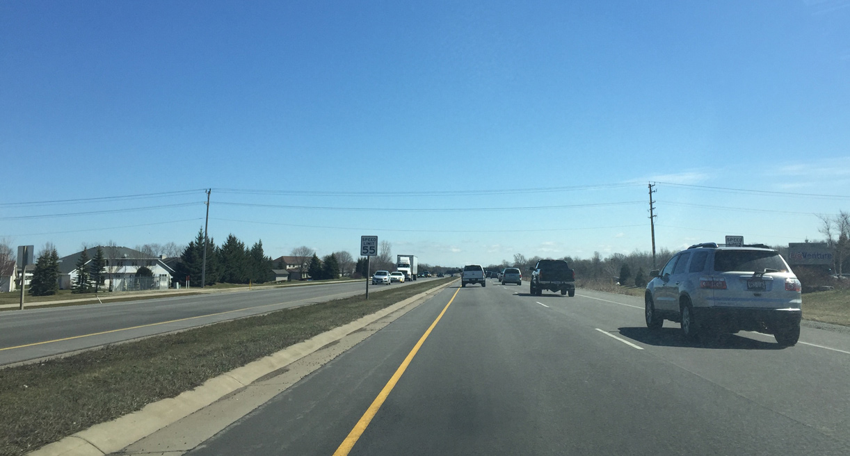
| The speed limit increases to 55 miles per hour as County CE becomes an expressway beyond Railroad Street. 03/28/16 |
|
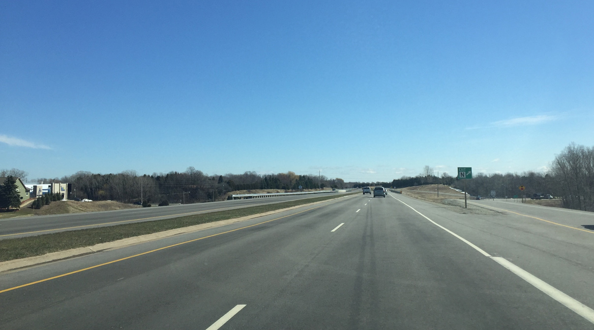
| Approaching the diamond interchange with County N on County E (College Avenue) east. County N comprises a main north south arterial for the eastern Fox Cities. 03/28/16 |
|
| Eastbound CTH-CE (College Avenue) at the off-ramp for CTH-N. CTH-N (Washington Street) north crosses the Fox River into the village of Little Chute. The trunk highway south continues into Calumet County through Harrison to end at Wis 114 near Lake Winnebago. 03/28/16 |
|
| Buchanan Road angles northeast from County N to intersect County CE (College Avenue) at the Combined Locks village line. The road extends northward as County K to Kenneth Avenue.
A sign replacement made here after 2013 incorrectly flipped the arrow to reference Buchanan Drive south west instead of east. 03/28/16 |
|
| Debruin Road doubles as County HH as it intersects County CE (College Avenue). There is a proposal to build a roundabout here in the future. 03/28/16 |
|
| Just beyond CTH-HH (Debruin Road), CTH-CE (College Avenue) enters the city of Kaukauna. 03/28/16 |
|
| The speed limit drops to 35 after Fieldcrest Drive. Many speeding tickets are written on this stretch since the road has an expressway feel without any driveways. 03/28/16 |
|
| CTH-CE east next approaches Wis 55 and the roundabout that replaced a signalized intersection in 2013. 03/28/16 |
|
| County CE's status as a National Highway ends here and continues north on Wis 55 (Crooks Avenue) through Kaukauna. Wis 55 south heads to Sherwood and U.S. 151 along the eastern periphery of Lake Winnebago. 03/28/16 |
|
| Reassurance marker for Outagamie County CE posted after Wis 55 (Crooks Avenue) in Kaukauna. 03/28/16 |
|
| County CE progresses east across Konkapot Creek. 03/28/16 |
|
| Motorists next enter the intersection with County Q. County Q (Hillcrest Drive) provides a short cut route for traffic between Hollandtown and Downtown Kaukauna. East of here, County CE was once designated as County Q. The routing was most likely changed to give the road a more direct route, and because more traffic was coming from County CE west of here over time rather than from Downtown Kaukauna. 03/28/16 |
|
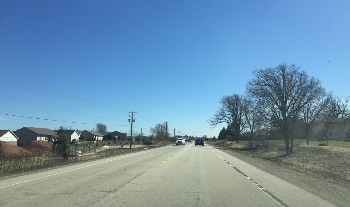
| County CE continues as an arterial through new subdivisions in east Kaukauna. Access control prevents new driveways from being constructed along this stretch. 03/28/16 |
|
| The speed limit increases to 55 miles per hour as County CE enters a more rural area beyond Weiler Road. 03/28/16 |
|
| Eastbound CTH-CE at CTH-GG. County GG was part of the Old Military Road between Green Bay and Prairie Du Chien. 03/28/16 |
|
| Continuing east along County CE towards Hollandtown. 03/28/16 |
|
| Outagamie Road intersects County CE as the trunk highway enters Brown County. 03/28/16 |
|
| A short distance east of the county line, CTH-CE reaches the unincorporated community of Hollandtown. 03/28/16 |
|
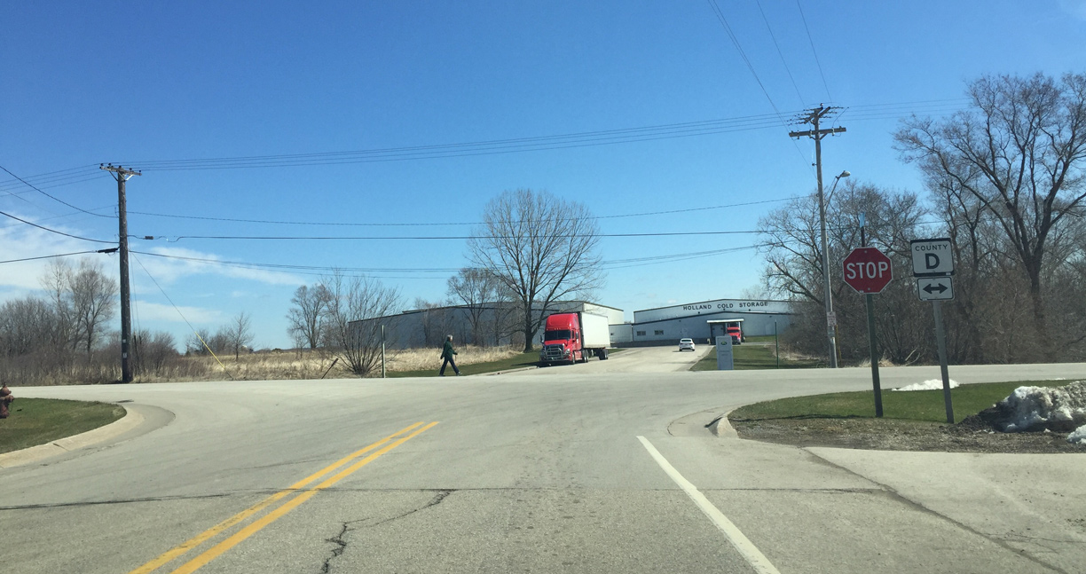
| An end sign appears for County CE at County D. County D stretches from U.S. 10 through Wrightstown and ends in De Pere. 03/28/16 |
|
| The entrance to an industrial business lies opposite the eastern terminus of County CE. County D north heads 4.5 miles to Wrightstown while southbound crosses into Calumet County in over a half mile. 03/28/16 |
Page Updated 06-06-2016.