The lone business route for Interstate 29 in Missouri travels a 14.07 mile route through the cities of St. Joseph and Country Club village in Andrews and Buchanan Counties. Traveling along a combination of local streets or arterials alongside U.S. 59 and U.S. 169, the route joins the industrial south side of St. Joseph with Downtown and the business district along Frederick Avenue. Northern reaches of the route follow Belt Highway through the main commercial area of St. Joseph. Business Loop I-29 is well signed and acknowledged from the U.S. 36 freeway.
|
| Business Loop I-29 (10th Street) north passes under the U.S. 36 freeway between Pacific and Jackson Streets. Ramps for the US highway depart from Business Loop I-29 south on adjacent 9th Street. 11/03/16 |
|
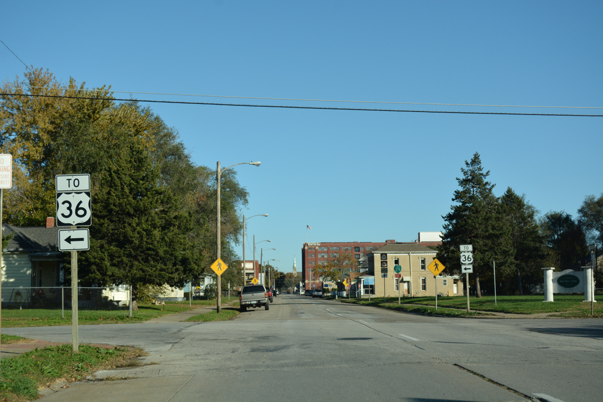
| Motorists headed to U.S. 36 west to Elwood, Kansas and east to Missouri Western State University are directed onto Doniphan Avenue west for the nearby on-ramps from 9th Street. 11/03/16 |
|
| Business Loop I-29 continues north along 10th Street from Doniphan Avenue toward the eastern reaches of Downtown. 11/03/16 |
|
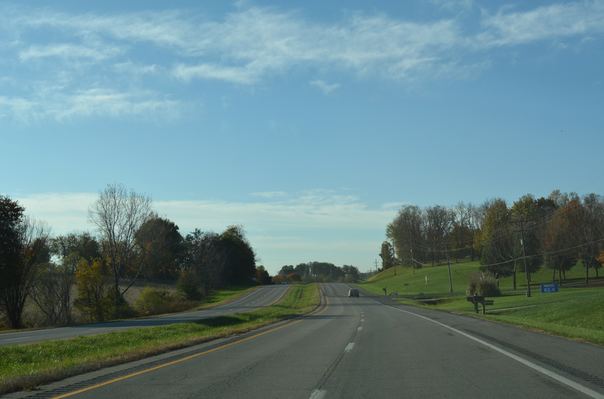
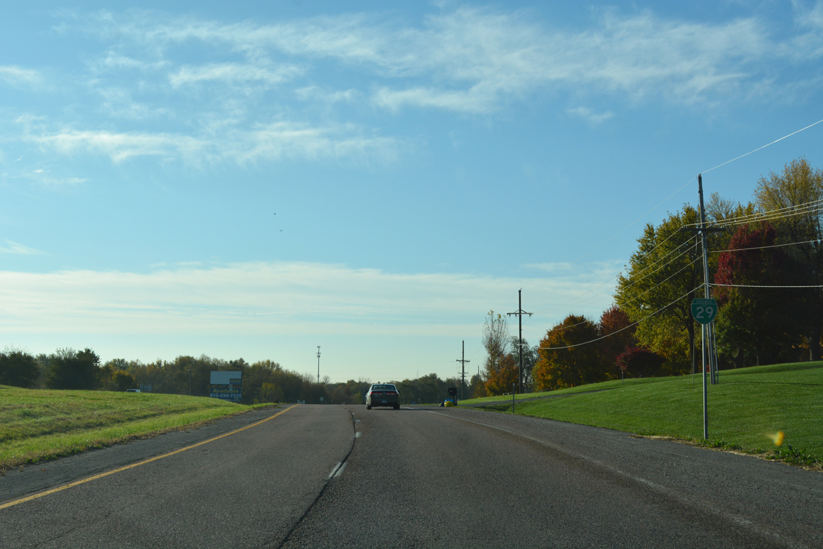
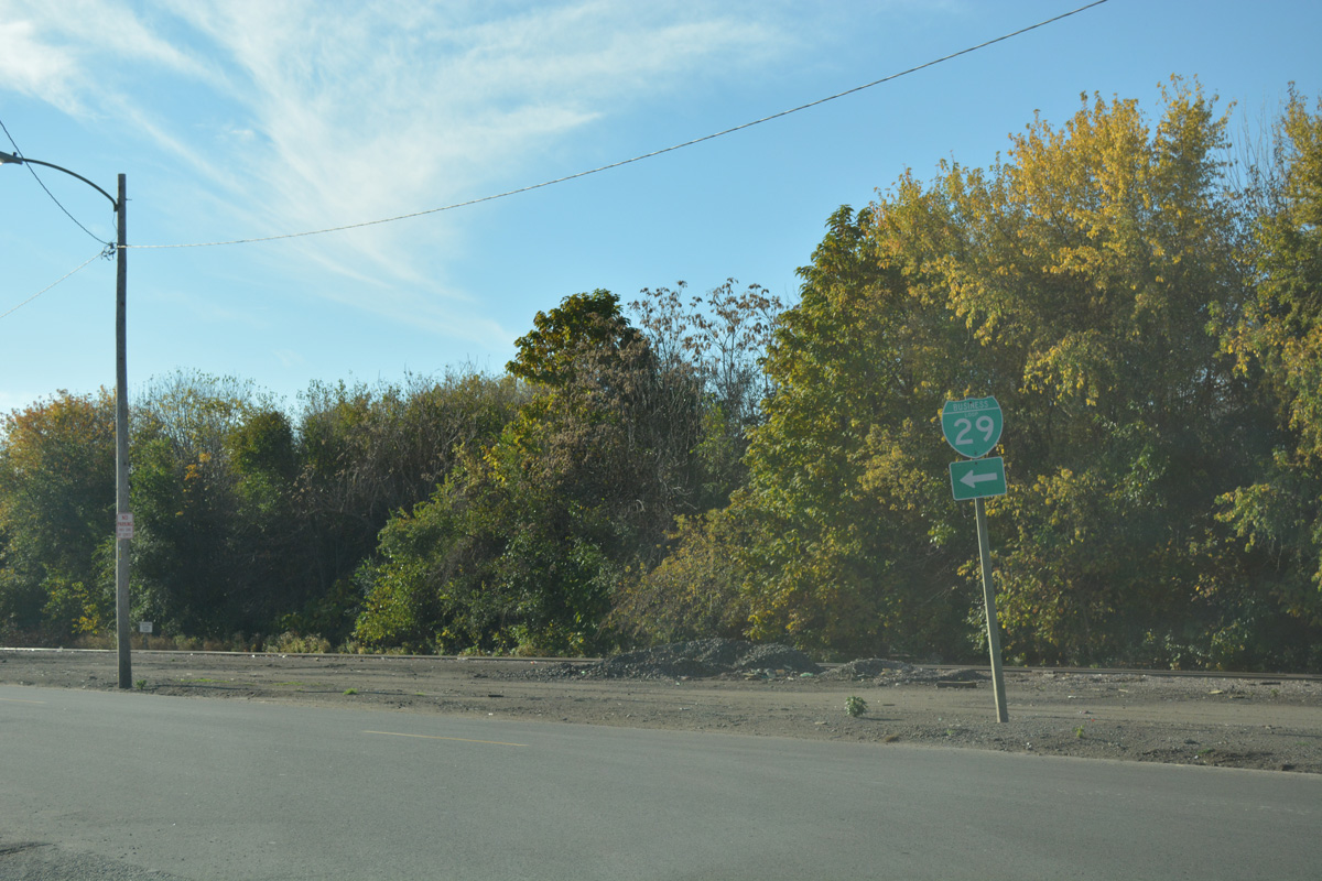
| Business Loop I-29 south begins alongside U.S. 59 as the two travel south from I-29 through southern Andrew County. 11/03/16 |
|
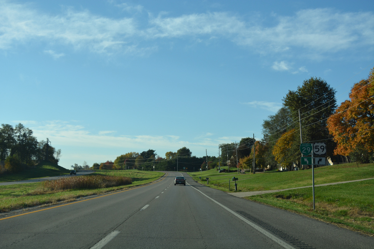
| Traveling south, Business Loop I-29/U.S. 59 enter the Country Club Village city limits. 11/03/16 |
|
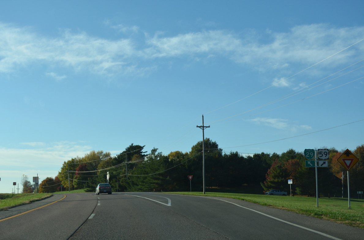
| U.S. 59/Business Loop I-29 pass east of St. Joseph Country Club ahead of their split. 11/03/16 |
|
| U.S. 59 arcs southwest along Country Club Road to join St. Joseph Avenue through north St. Joseph. 11/03/16 |
|
| St. Joseph Avenue leads U.S. 59 southwest to Interstate 229 outside of Downtown St. Joseph. Business Loop I-29 will parallel U.S. 59 just to the east through the central business district. 11/03/16 |
|
| Belt Parkway leads Business Loop I-29 south from U.S. 59 (Country Club Road) into the city of St. Joseph. 11/03/16 |
|
| County Line Road intersects Belt Parkway at Buchanan County. 11/03/16 |
|
| Entering St. Joseph, Business Loop I-29 transitions into a commercial arterial. 11/03/16 |
|
| North Village Drive loops east from Belt Parkway to U.S. 169 between adjacent retail. Mayfair Drive ties in from residential areas to the west. 11/03/16 |
|
| Blackwell Road stems west from Business Loop I-29 across from the Shoppes at North Village to Savannah Road and U.S. 59 (St. Joseph Avenue). 11/03/16 |
|
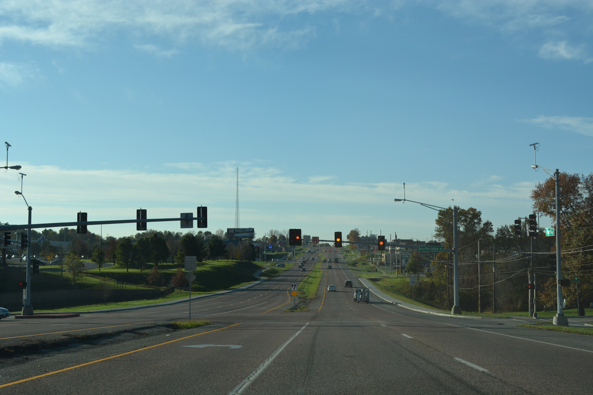
| The signalized intersection with Northridge Drive provides a second entrance to the Shoppes at North Village big box retail area. 11/03/16 |
|
| Cook Road stretches west from Belt Parkway to Savannah Road near U.S. 59 and east to far reaches of the St. Joseph city limits and Highway W. 11/03/16 |
|
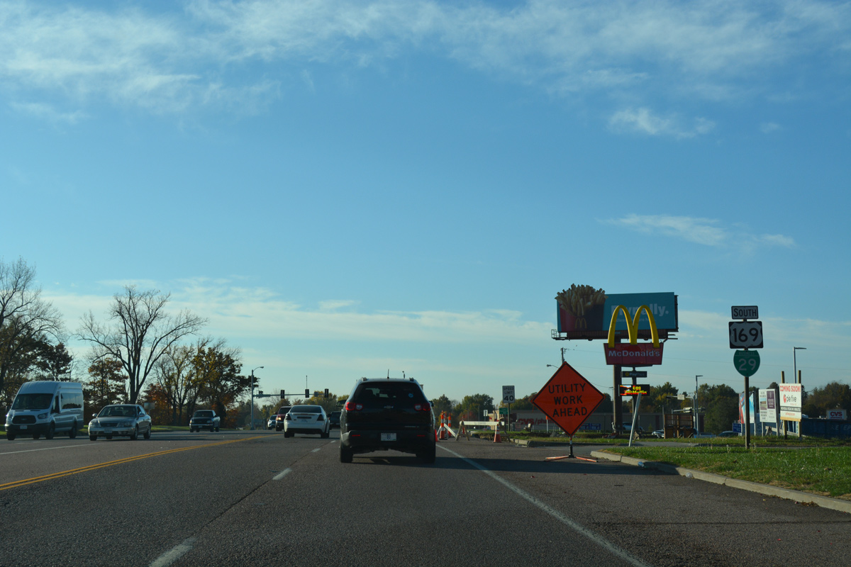
| U.S. 169 angles southwest along Rochester Road to combine with Business Loop I-29 (Belt Parkway) south at the ensuing signal. 11/03/16 |
|
| U.S. 169 meanders northeast from St. Joseph to Avenue City and Rochester as part of a 127 mile route through the Show Me State. 11/03/16 |
|
| U.S. 169 and Business Loop I-29 overlap for 1.98 miles south. 11/03/16 |
|
| Ashland Avenue branches southwest from Belt Parkway to Lovers Lane and hilly residential areas west of Business Loop I-29. 11/03/16 |
|
| Karnes Road spurs east from U.S. 169 to subdivisions near I-29 and west to U.S. 59 (St. Joseph Avenue). 11/03/16 |
|
| U.S. 169/Business Loop I-29 turn southeast along a five lane commercial arterial to Gene Field Road. 11/03/16 |
|
| Beck Road serves retail areas and town home communities east of Business Loop I-29 to Woodbine Road. The road west passes through the St. Joseph street grid to Ashland Avenue. 11/03/16 |
|
| An array of eateries accompany car dealerships and other big box retail along Belt Highway south from Beck Road. 11/03/16 |
|
| Sherman Avenue links Belt Highway with Woodbine Road through an area of business parks as U.S. 169 climbs around 30 feet in elevation to Missouri 6. 11/03/16 |
|
| Forthcoming Missouri 6 ties into U.S. 169 and Business Loop I-29 from Frederick Avenue along a commercial stretch anchored by East Hills Mall. 11/03/16 |
|
| Business Loop I-29 turns west along Frederick Avenue as part of the route to Downtown St. Joseph. U.S. 169 remains south along Belt Highway to the city south side. 11/03/16 |
|
| Missouri Route 6 commences a 208.55 mile cross state route to U.S. 24/61 near the Mississippi River at Quincy, Illinois from U.S. 169 in St. Joseph. 11/03/16 |
|
| Heading west along Frederick Avenue, Business Loop I-29 changes into a four lane boulevard after 36th Street. 11/03/16 |
|
| Westbound Frederick Avenue passes within the vicinity of Moila Golf Course in this scene. 11/03/16 |
|
| Reassurance marker for Business Loop I-29 south at Spruce Lane. 11/03/16 |
|
| Frederick Avenue reduces to one through lane at the upcoming intersection with Noyes Boulevard. 11/03/16 |
|
| Noyes Boulevard leads north to the confluence of Sherman Avenue, Ashland Avenue and Northwest Parkway and south from Business Loop I-29 through the St. Joseph street grid to Central High School. 11/03/16 |
|
| Business Loop I-29 transitions into an older business district from Ashland Avenue southwest to Downtown. Pedestal signals operate in this scene at 26th Street. 11/03/16 |
|
| Frederick Avenue turns southwest at 25th and Highly Streets. 11/03/16 |
|
| A gradual descent takes drivers south along Frederick Avenue to the Missouri River valley and Downtown St. Joseph. 11/03/16 |
|
| Frederick Avenue represents an orientation change of the St. Joseph street grid to 9th Street. Pictured here are the signals at 22nd Street. 11/03/16 |
|
| Business Loop I-29 (Frederick Avenue) south at Calhoun and 19th Streets. 11/03/16 |
|
| Continuing south on Frederick Avenue between 19th and 18th Streets. 11/03/16 |
|
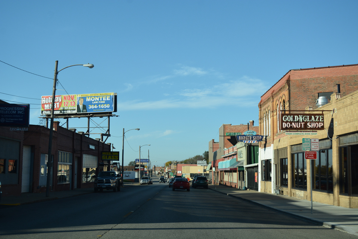
| Older store fronts line Frederick Avenue by 16th Street. 11/03/16 |
|
| A staggered intersection joins Business Loop I-29 with 13th Street at the succeeding traffic light southbound. 11/03/16 |
|
| Frederick Avenue kinks subtly southward at 12th Street. 11/03/16 |
|
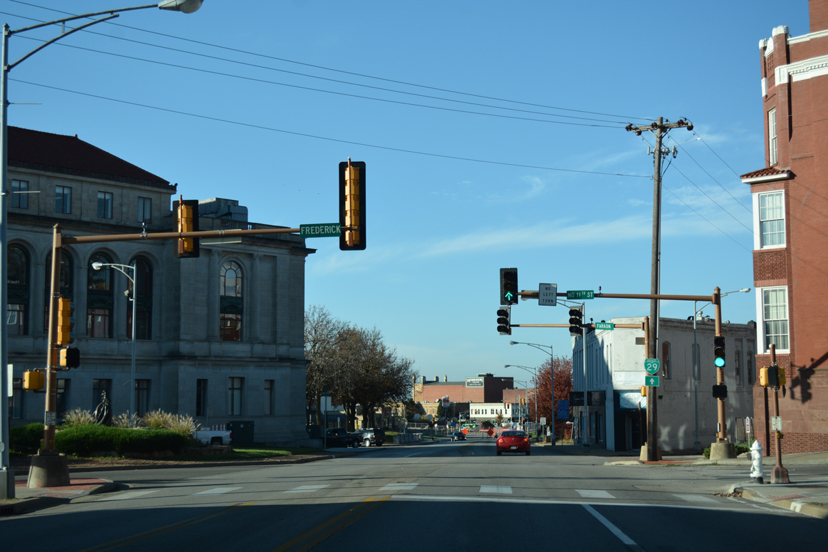
| A five-way intersection joins Business Loop I-29 with Faraon Street east and west and 11th Street north by St. Joseph City Hall. 11/03/16 |
|
| A trailblazer at Faraon Street directs Business Loop I-29 southwest along the final two blocks of Frederick Avenue. 11/03/16 |
|
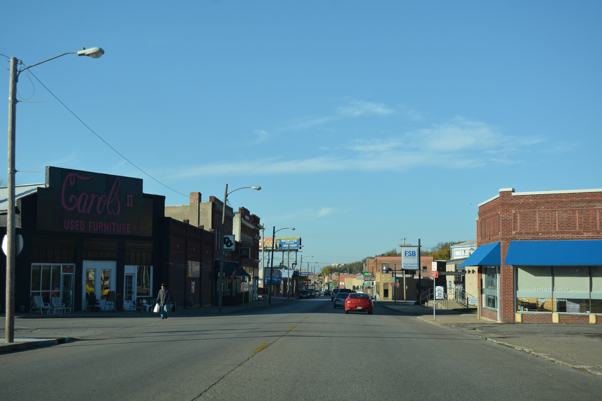
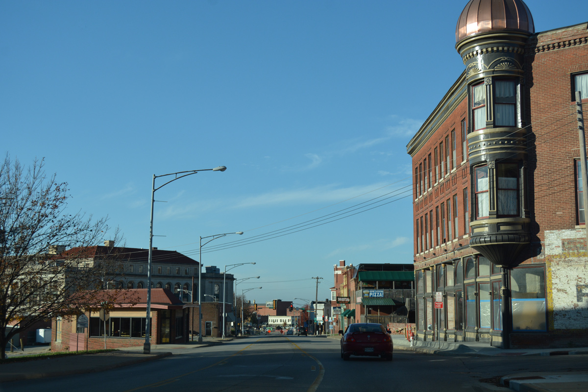
| Southbound drivers along Business Loop I-29 reach the St. Joseph central business district at 10th and Jules Streets. 11/03/16 |
|
| Frederick Avenue ends at the five-way intersection with 9th and Francis Streets. Business Loop I-29 partitions into a one way couplet along 9th Street south and 10th Street north at this point. 11/03/16 |
|
| 9th Street south straddles eastern reaches of the business district with residential areas from Sylvanie Street south to Patee Street. 11/03/16 |
|
| Southbound reassurance marker for Business Loop I-29 posted at Angelique Street. 11/03/16 |
|
| Messanie Street crosses the city of St. Joseph from industrial areas along the Missouri River to Woodbine Road near Missouri Western State University. 11/03/16 |
|
| Advancing south, 9th Street passes by the abandoned Central Police Station after this reassurance marker at Locust Street. 11/03/16 |
|
| Business Loop I-29 remains well signed along 9th Street south, with another shield assembly posted at Olive Street. 11/03/16 |
|
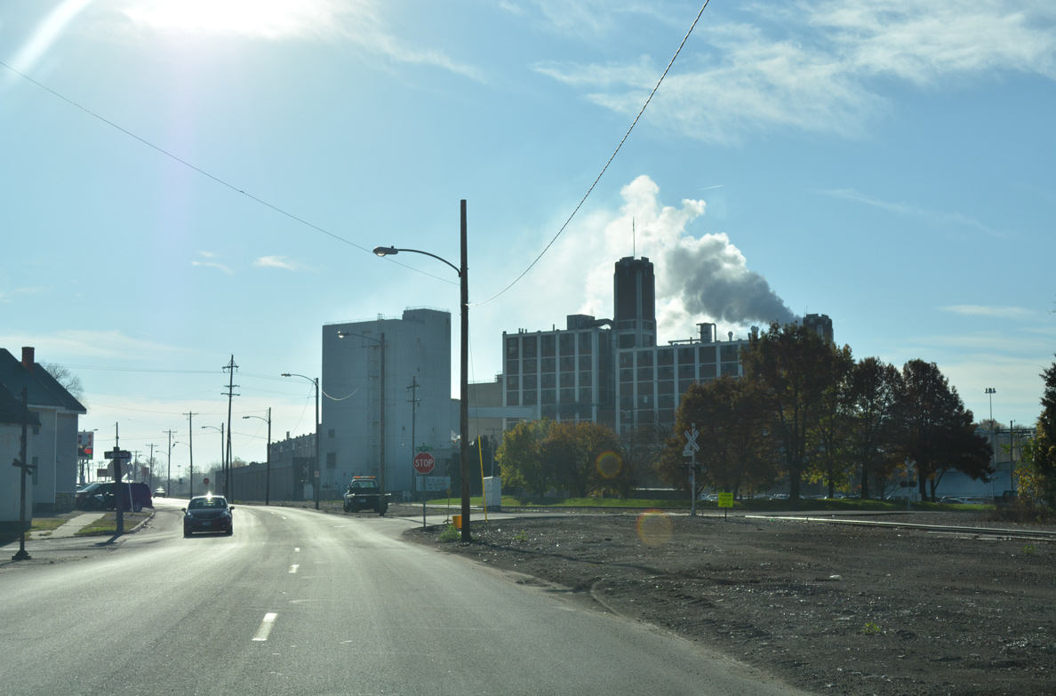
| More industrial businesses appear along 9th Street as Business Loop I-29 progresses south to Penn Street. 11/03/16 |
|
| The Pony Express National Museum lies between 9th and 10th Streets along Penn Street. 11/03/16 |
|
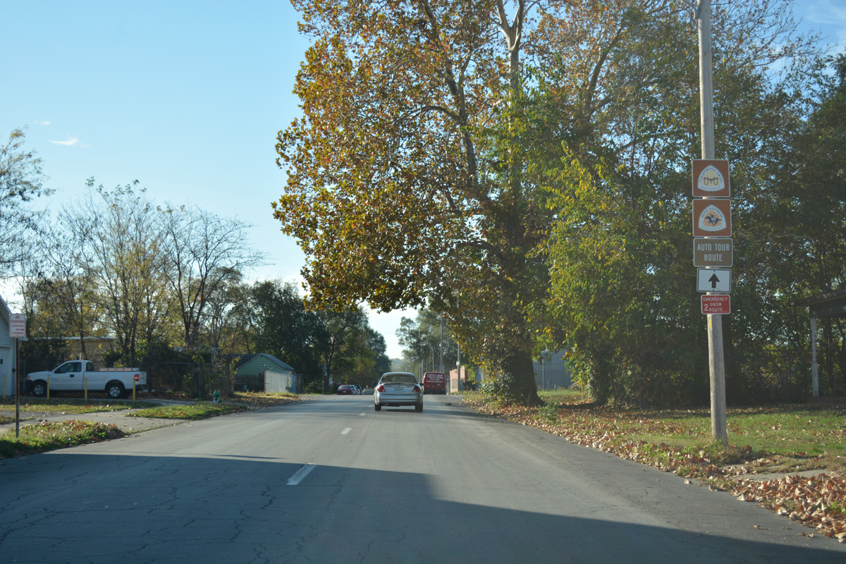
| Trailblazers for the California Trail and Pony Express auto tour routes appear along Business Loop I-29 south of Mitchell Avenue. 11/03/16 |
|
| Business Loop I-29 (9th Street) south of Sacramento Street. 11/03/16 |
|
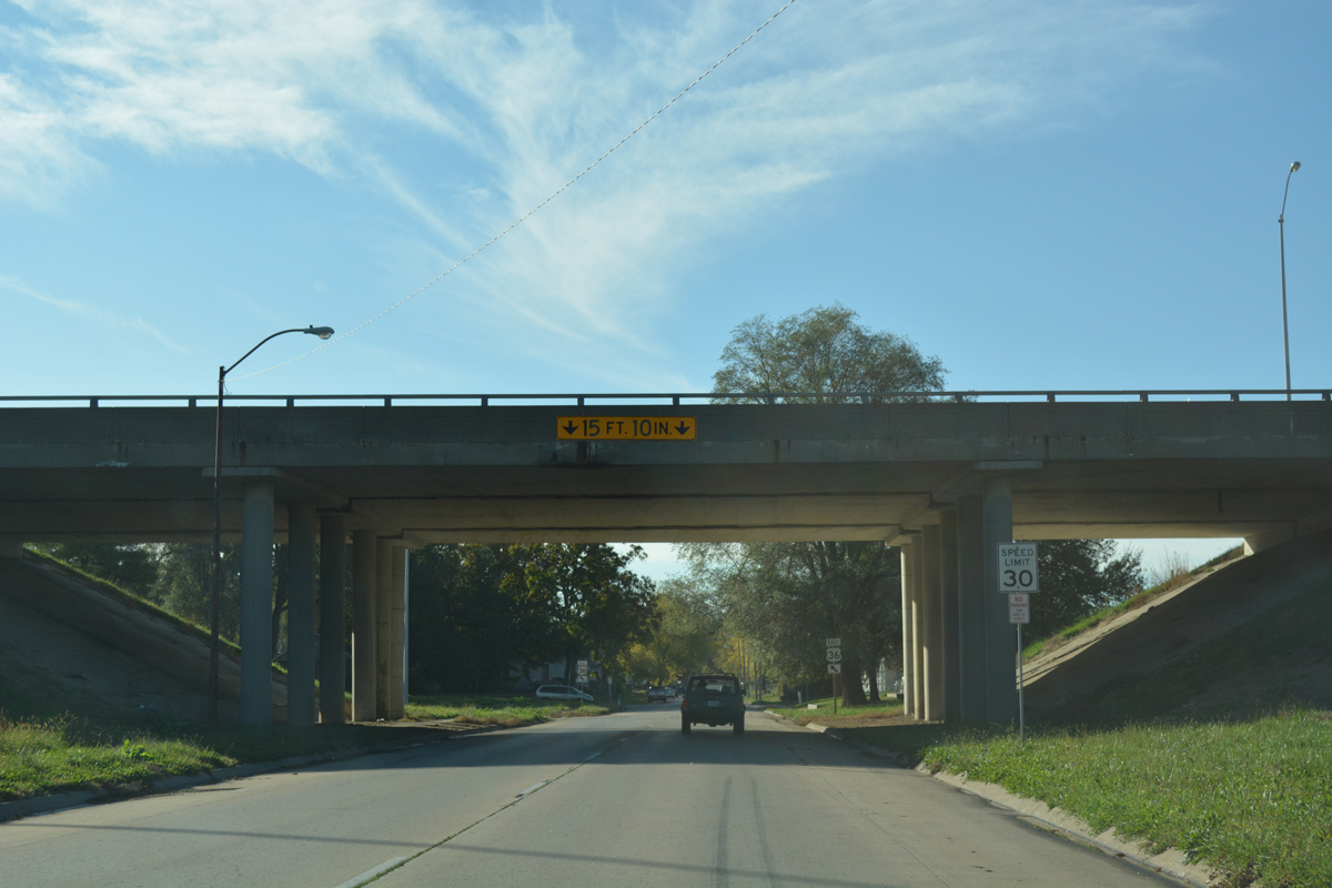
| Beyond Duncan Street, Business Loop I-29 south approaches a series of ramps for U.S. 36. U.S. 36 bisects St. Joseph along an older freeway from the Missouri River to the Platte River east of the city line. 11/03/16 |
|
| The ramp for U.S. 36 east combines with an adjacent on-ramp from 8th Street to join the freeway viaduct as it meets I-229/U.S. 59. U.S. 36 spans the Missouri River across the Pony Express Bridges to a bypass of Elwood, Kansas. 11/03/16 |
|
| The U.S. 36 bridges across Business Loop I-29 were rebuilt in 1996. 11/03/16 |
|
| A loop ramp follows from 9th Street south for U.S. 36 east to Missouri Western University and Cameron. 11/03/16 |
|
| Three blocks south of the U.S. 36 freeway, Business Loop I-29 turns from the ending 9th Street onto Garfield Avenue. 11/03/16 |
|
| Garfield Avenue parallels the Easton St. Joseph railroad spur as the route of Business Loop I-29 through south St. Joseph. 11/03/16 |
|
| Both directions of Business Loop I-29 follow Garfield Avenue east from 10th Street. 11/03/16 |
|
| Continuing east along Garfield Avenue after the Business Loop I-29 intersection with 11th Street. 11/03/16 |
|
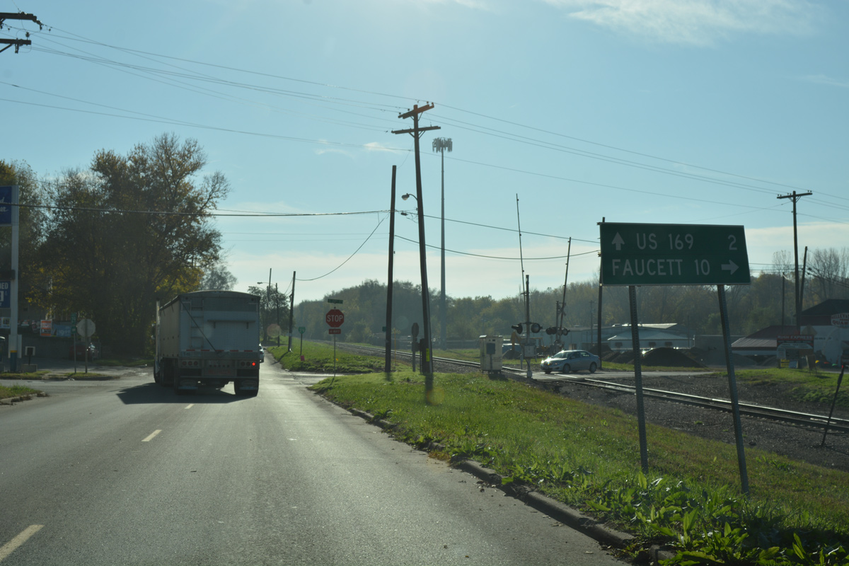
| A guide sign directs motorists south onto 22nd Street for the ten mile drive to Faucett. 22nd Street south to Missouri 752 was formerly a part of Missouri 371. MO 371 follows old U.S. 71 south from St. Joseph to Platte City. 11/03/16 |
|
| Confirming marker for Business Loop I-29 ahead of the turn from Garfield Avenue onto Pear Street east. 11/03/16 |
|
| Garfield Avenue splits into Easton Road and Pear Street. Easton Road parallels the railroad spur east to the city line. 11/03/16 |
|
| Pear Street east shifts Business Loop I-29 northward by a mixture of residential streets and industrial businesses. 11/03/16 |
|
| Ajax Road leads north to Pickett Road and south into rural Buchanan County from an intersection preceding this Business Loop I-29 marker. 11/03/16 |
|
| Pear Street passes through an industrial park area to the second meeting of Business Loop I-29 south with U.S. 169. 11/03/16 |
|
| Business Loop I-29 south combines with U.S. 169 south for a second time along the 1.09 mile stretch leading east to Interstate 29. 11/03/16 |
|
| U.S. 169 (Belt Highway) leads back north on a five lane commercial arterial to U.S. 36 and Route 6 at East Hills Mall. 11/03/16 |
|
| Business Loop I-29/U.S. 169 span the Easton St. Joseph railroad spur as they curve southeast from Pear Street toward Interstate 29. 11/03/16 |
|
| Approaching Highway A along Belt Parkway south. This stretch of U.S. 169 tops out at 1,000 feet above sea level. 11/03/16 |
|
| Highway A parallels I-29 south from U.S. 169 to Pinkston and Missouri 371 near Faucett. The secondary highway totals 8.00 miles. 11/03/16 |
|
| The final shield for Business Loop I-29 south appears after Highway A (40th Street). 11/03/16 |
|
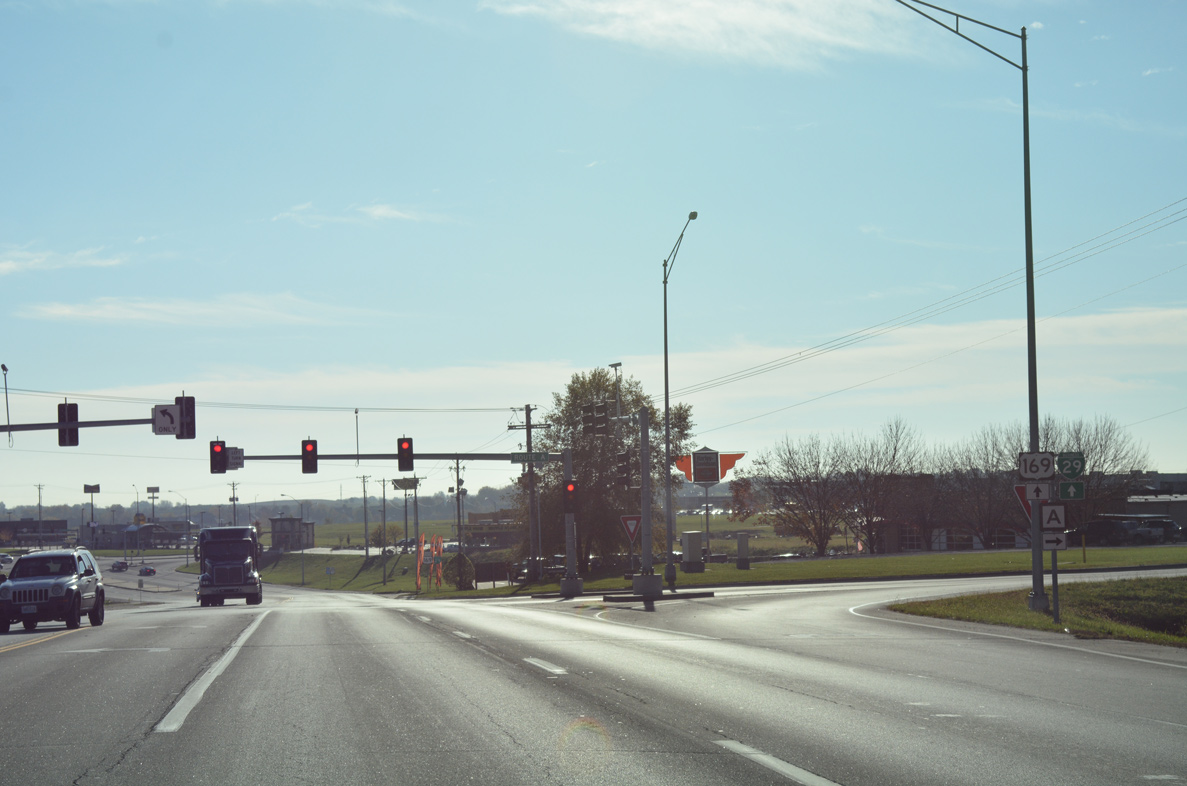
| Turning east, U.S. 169/Business Loop I-29 meet I-29 at a diamond interchange. 11/03/16 |
|
| Commons Drive intersects Belt Highway just west of I-29 at a business park. 11/03/16 |
|
| U.S. 169 reduces to a two lane highway beyond the ramps with Interstate 29. I-29 runs across the east side of St. Joseph between Belt Highway and the north interchange with U.S. 169 (Exit 50). 11/03/16 |
|
| An end shield for Business Loop I-29 precedes the southbound on-ramp to Platte City. 11/03/16 |
|
| Interstate 29 travels south from St. Joseph to end at Downtown Kansas City. The freeway north extends to Council Bluffs, Iowa and I-80. 11/03/16 |
|
| U.S. 71 overlaps with Interstate 29 wholly from the north end of I-229 (Exit 56) to I-35 and I-70 at Downtown Kansas City. 11/03/16 |
|
| Doniphan Avenue west at Business Loop I-29 south and the 9th Street on-ramp for U.S. 36 west to Elwood and Wathena, Kansas. 11/03/16 |
Page Updated 01-10-2017.

 North
North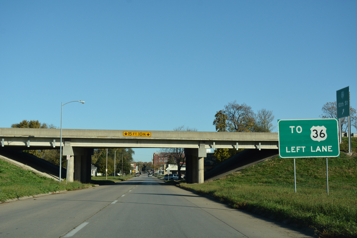

 South
South