
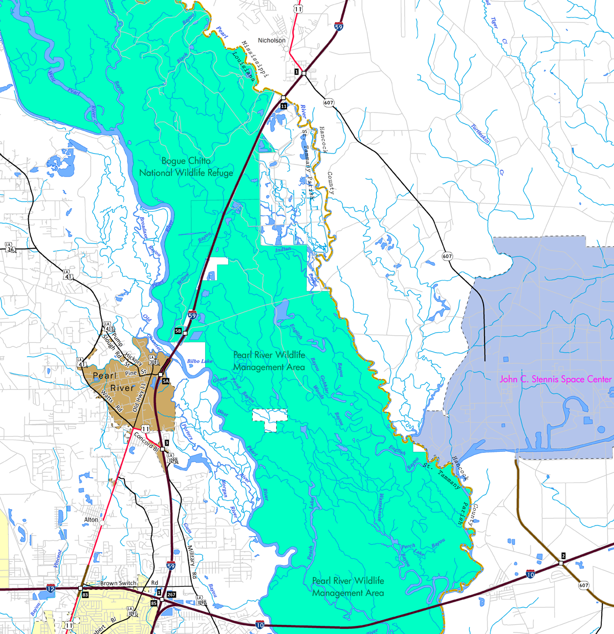
Interstate 59 travels just 12.06 miles in the Pelican State from Slidell north to Pearl River and Hancock County, Mississippi. Replacing or overlapping with U.S. 11, I-59 regionally joins the Greater New Orleans area with Hattiesburg, Laurel and Meridian, Mississippi.
Interstate 59 Louisiana Guides
The initial segment of Interstate 59 built was the twin bridge structures over the Pearl River at the Mississippi state line. Costing $300,000 and completed in 1958, the spans were built at the site of the relocation of U.S. 11.1 Contracts for the construction of Interstate 59 underway by 1961 included $3,769,074 for the West Pearl River bridges and approaches and $2,885,149 for a 5.4 mile section from the Pearl River to the Mississippi state line. The scheduled for completion was May 1962.2 The 6.4 mile section of I-59 between Pearl River Station to a point one mile into Mississippi opened following a dedication ceremony held on August 2, 1962 at the Pearl River Bridge.3
The subsequent segment of Interstate 59 completed was the 3.5 miles extending south from Pearl River Station. A ribbon cutting ceremony for this stretch took place on July 1, 1963. It cost $3.8 million to construct. The remainder of I-59 south to I-10/12 in Slidell was already under construction in 1963.4
Interstate 59 in Louisiana was completed in conjunction with I-10 through Slidell by 1966. Reconstruction of the freeway occurred between 1987 and 1989 and the bridges across the West Pearl River were replaced between 1996 and 1997.
 scenes scenes |
  | Old US 11 forms a portion of the service roads joining I-59 with Pearl River WMA at Exit 5B and Honey Island Swamp. Old US 11 loops south from the WMA entrance first to ramps with Interstate 59 northbound. 10/12/16 |
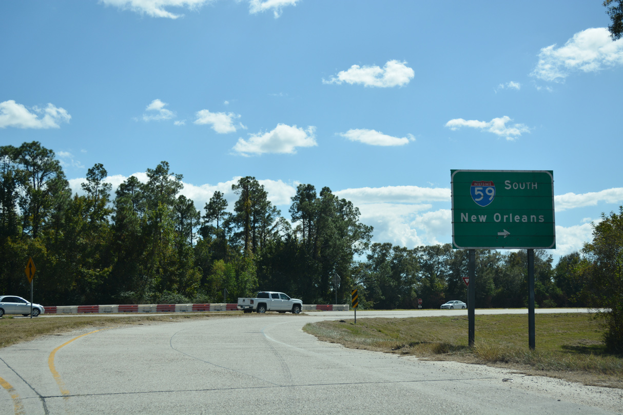
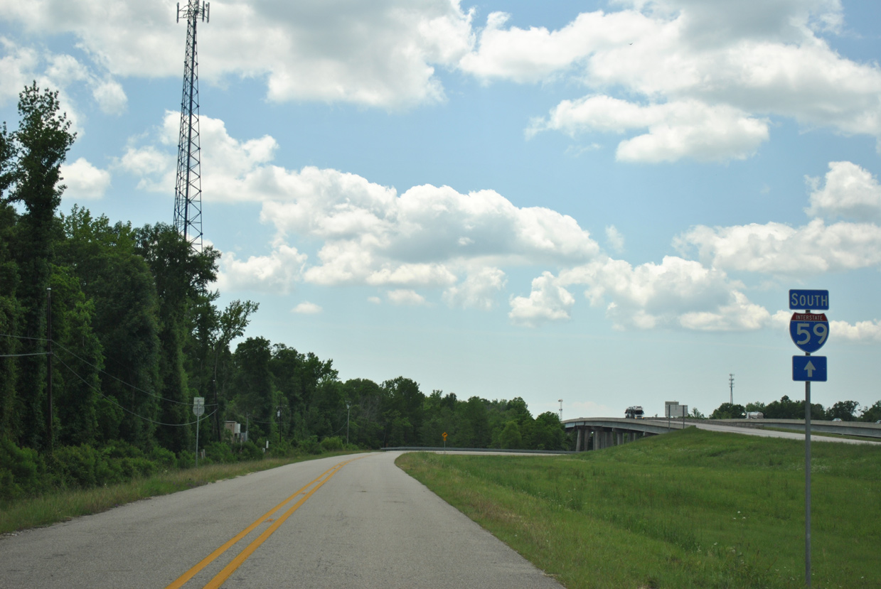   | Old US 11 loops under the Interstate 59 bridges across the West Pearl River and turns north ahead of the southbound entrance ramp for Slidell and New Orleans. 04/20/12 |
 | Old US 11 spurs east from I-59 and the folded diamond interchange (Exit 5B) at Honey Island Swamp into Pearl River Wildlife Management Area. 10/12/16 |
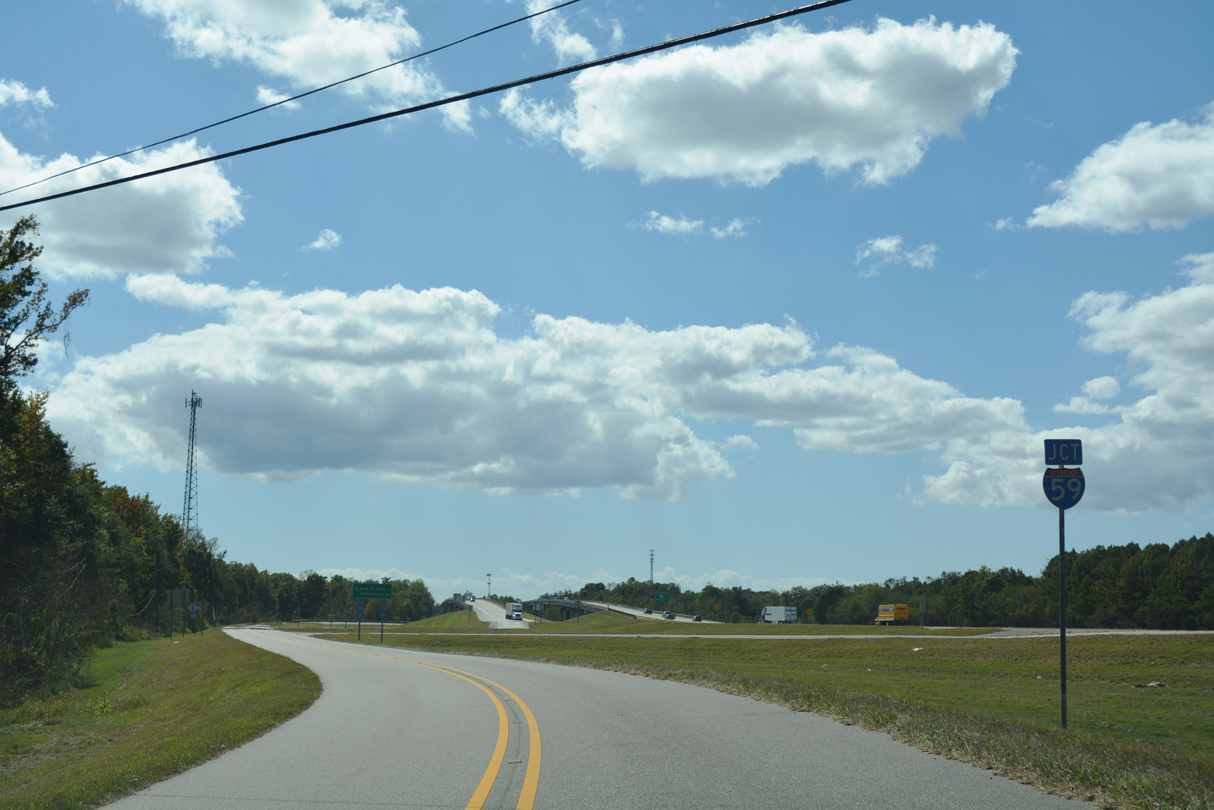
   | The Pearl River Turnaround consists of a folded diamond interchange (Exit 11) adjacent to the west banks of the Pearl River. The exchange serves a nearby quarry via Atlas Road and Bogue Chitto National Wildlife Refuge via Honey Island Swamp Road to the west. 10/12/16 |
 | A trailblazer for Interstate 59 south formerly posted along the east side frontage road after Atlas Road at the Pearl River Turnaround. This was the lone I-59 shield posted at Exit 11 at the time. 06/15/01 |
- "1958 State Highway Project Bids Totaled More Than $112 Million." The Lafayette Progress (LA), January 3, 1959.
- "New Pontchartrain Bridges Will be Complete by 1963." The Jefferson Democrat (LA), September 16, 1961.
- "Barnett, Burgess to Help Dedicate Federal Highway." Lake Charles American-Press (LA), August 2, 1962.
- "Interstate Hwy. 59 So. Opened to Traffic." The Jefferson News (LA), July 4, 1963.
Photo Credits:
06/15/01, 04/20/12, 10/12/16 by AARoads
Connect with:
Interstate 10
Interstate 12
U.S. 11
Highway 1090
Highway 3081 / 3081 Spur
Page Updated 03-29-2019.