
 East
East
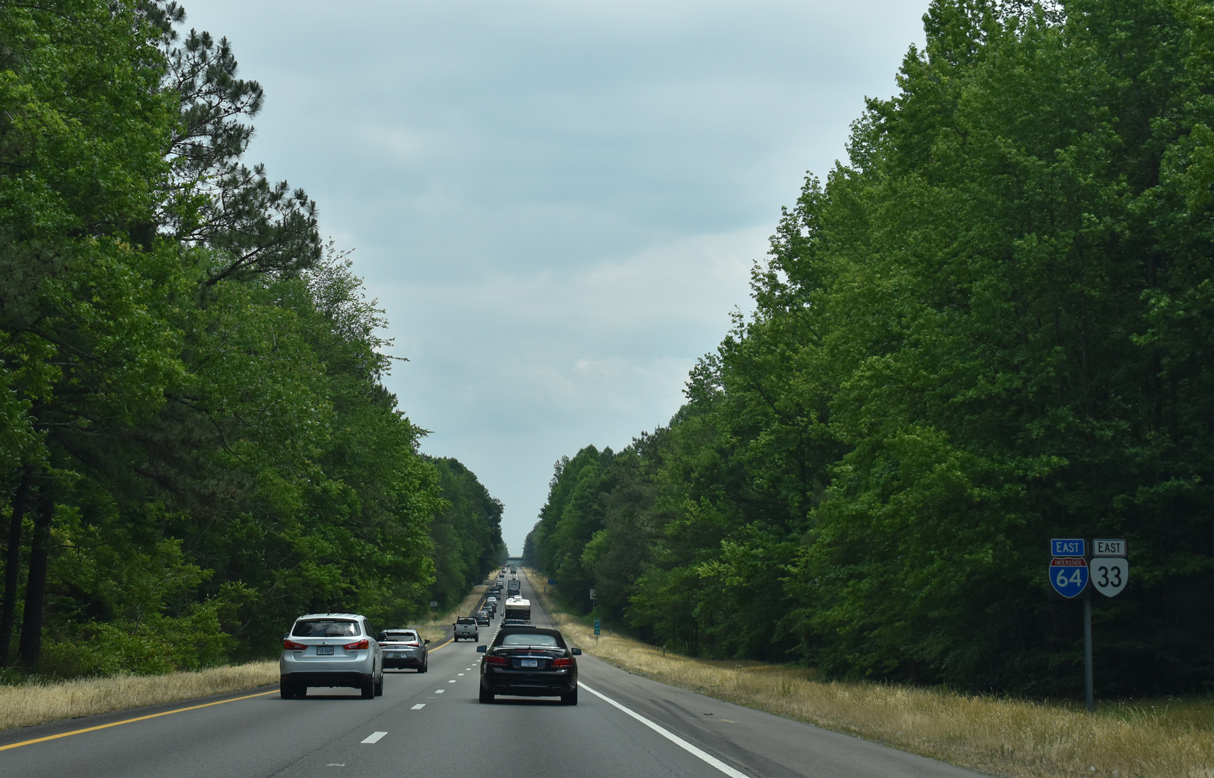
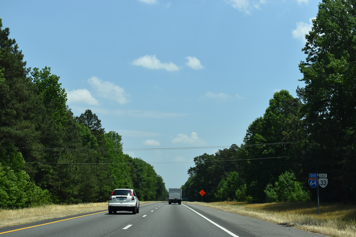
SR 33 continues the numbering of U.S. 33 in Richmond 72.24 miles to Stingray Point on Chesapeake Bay. The state route splits with U.S. 60 (Pocahontas Trail) nearby and travels 0.22 miles with SR 249 to Exit 205.
05/26/22

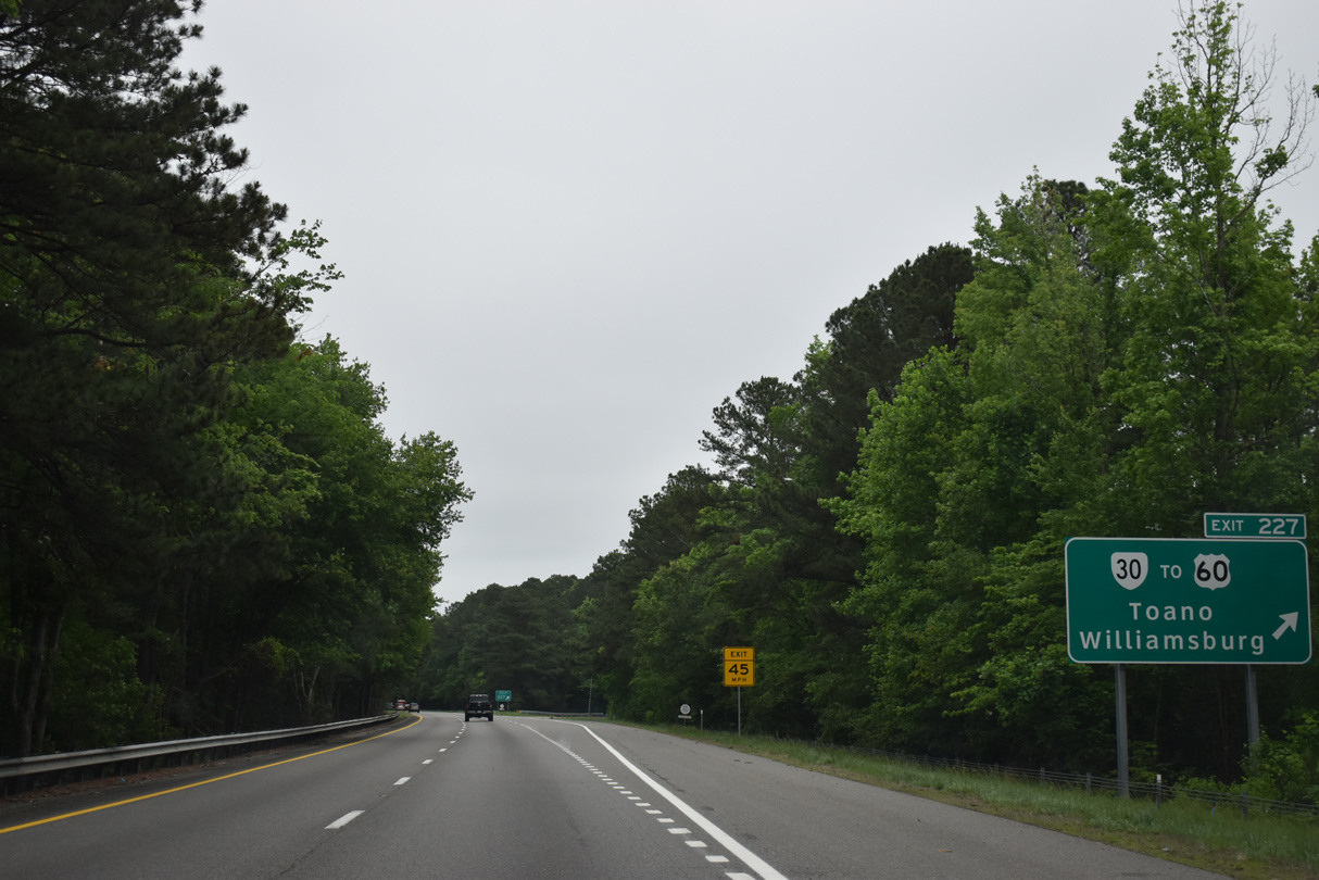
SR 249 travels west with SR 33 from Exit 205 to U.S. 60 east of Bottoms Bridge. Eastward, SR 249 continues on a 18.43 mile course to SR 30/33 east of New Kent.
05/26/22

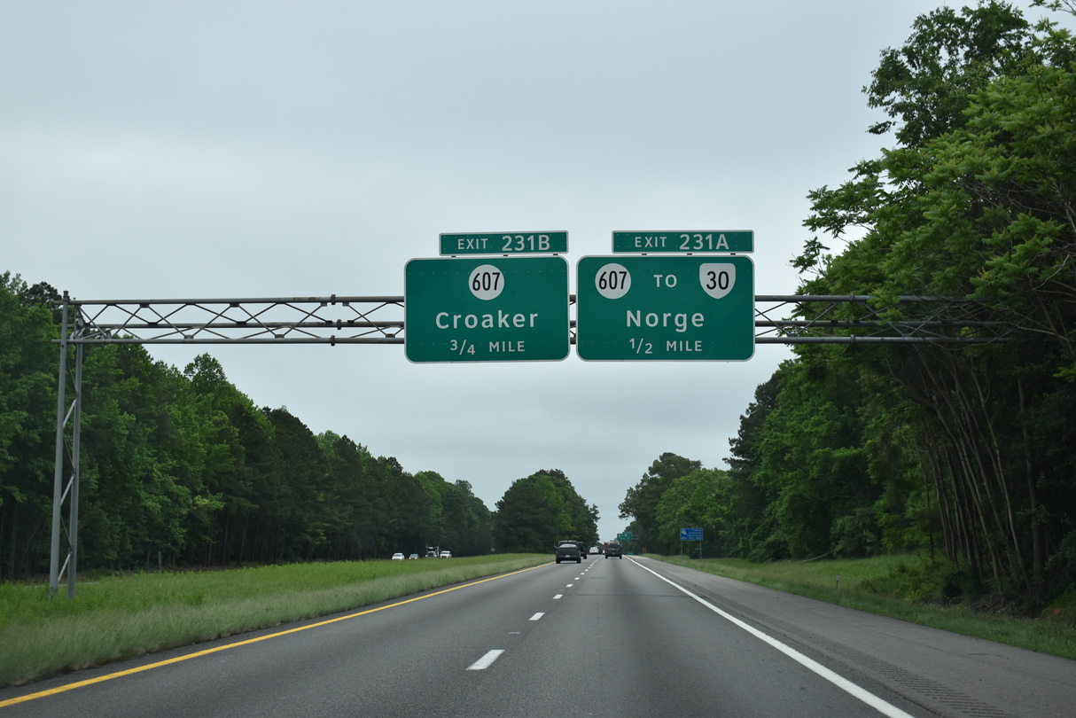
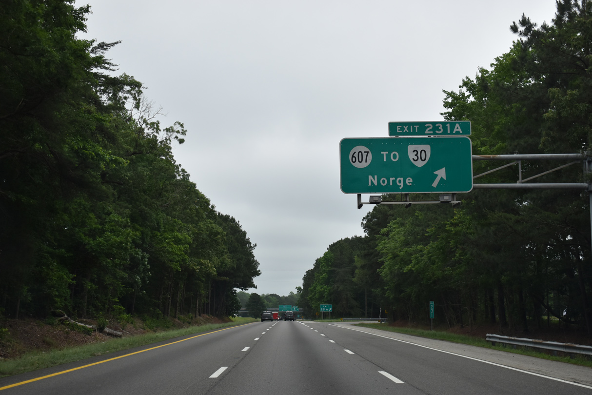
Traffic partitions between SR 249 east to Quinton and SR 33/249 west to U.S. 60. SR 33 overlaps with U.S. 60 west to Sandston. Prior to 1970, SR 33 followed what is now SR 249 east.1
06/25/10
I-64/SR 33 overlap for 14.48 miles.
05/28/21

05/28/21

05/28/21

05/26/22

05/26/22
05/26/22

05/28/21

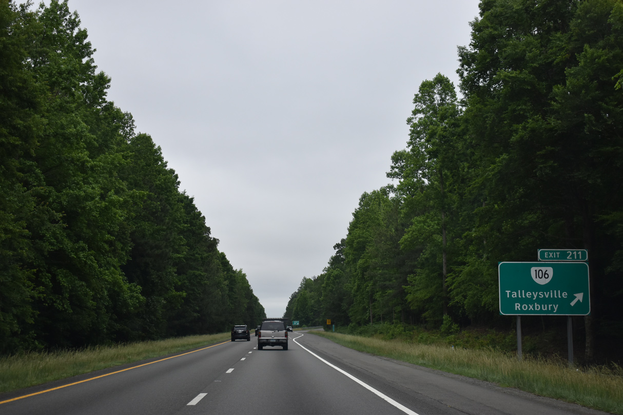
Continuing east from SR 106 (Exit 211), Interstate 64 is 26 miles out from Williamsburg and 49 miles northwest of Hampton.
05/28/21

The New Kent safety rest areas line both sides of Interstate 64 east of the Olivet Church Road overpass.
05/28/21
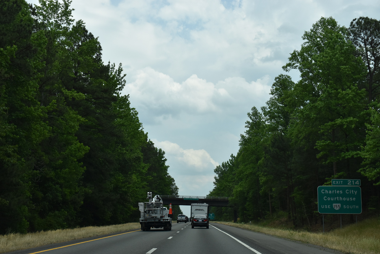
A diamond interchange connects I-64/SR 33 with SR 155 (Courthouse Road) at Exit 214. The state route leads south to the Charles City county seat of Charles City Courthouse.
05/28/21

SR 155 is a 13.53 mile long highway traveling south to SR 5 and north to SR 249 (New Kent Highway) and SR 608 (Old River Road) at Carps Corner.
05/26/22

Eastbound at the New Kent County safety rest area and tourist information center.
05/26/22

Exit 214 departs I-64/SR 33 east for SR 155 (Courthouse Road). Kentland Trail spurs southeast from Courthouse Road nearby to Colonial Downs. Providence Forge is four miles to the south at U.S. 60 (Pocahontas Trail).
05/28/21
Confirming markers for I-64/SR 33 posted east of the entrance ramp from SR 155.
05/28/21

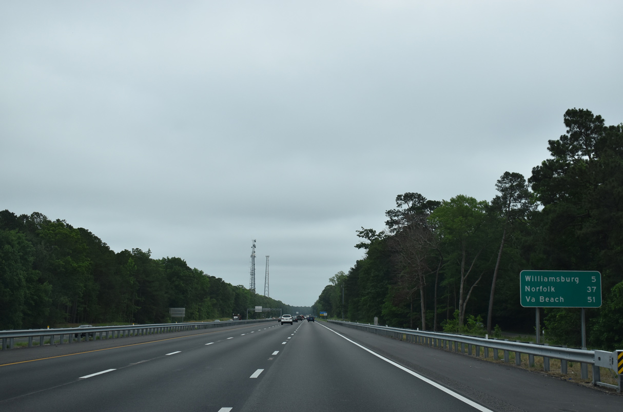
Virginia Beach replaces Norfolk as the third control city for Interstate 64 east on this sign posted after Exit 205. I-64 meets I-264 (Norfolk Virginia Beach Expressway) in 69 miles.
05/28/21

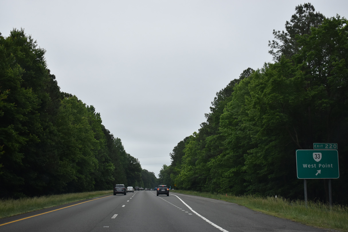
SR 33 splits with I-64 east at Exit 220. SR 33 combines with SR 30 to West Point, located eight miles to the northeast. West Point. Mattaponi and Middle Peninsula Regional Airport (FYJ) follow east of there.
05/26/22

05/28/21
A trumpet interchange connects with SR 33 (Eltham Road) leading away from Interstate 64 to West Point. The four lane highway leads 19 miles east to U.S. 17 at Glenns and 22 miles to Saluda.
05/26/22
East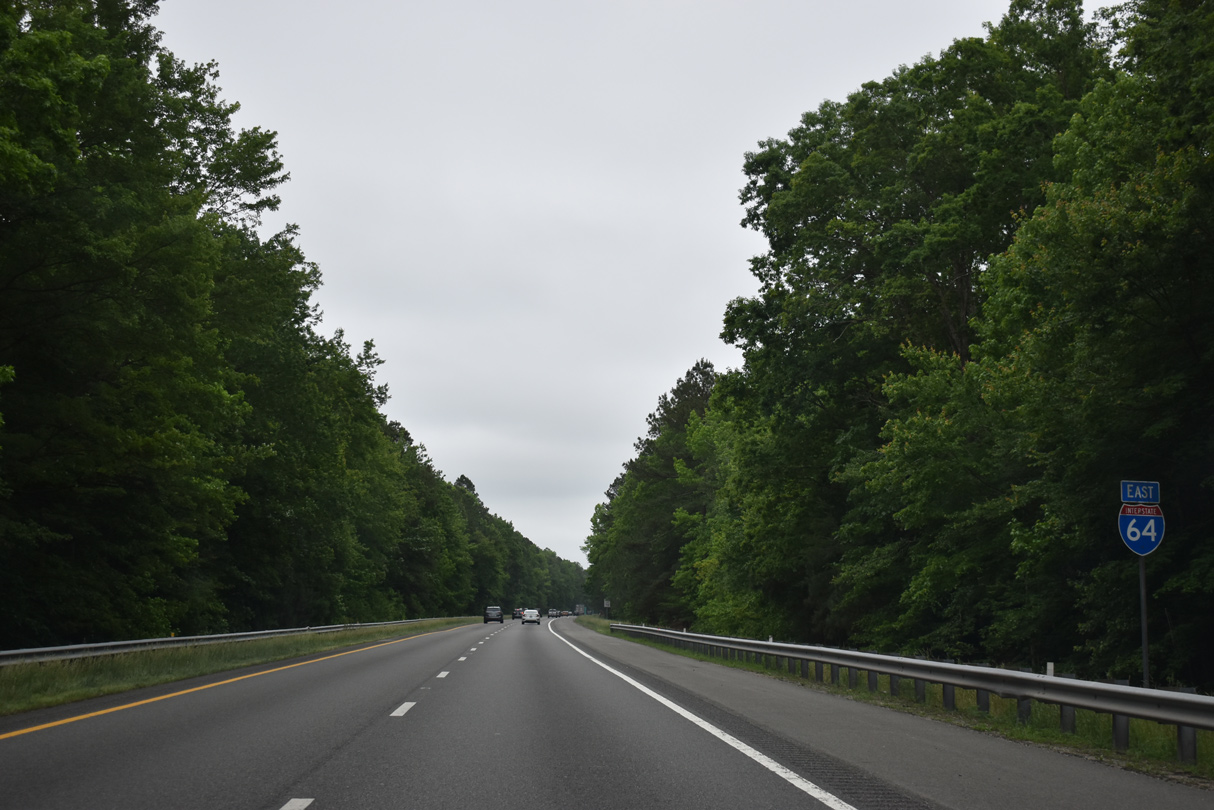
05/26/22

05/26/22

05/28/21

05/26/22
05/26/22

05/26/22

05/26/22

05/28/21

05/26/22
05/26/22
05/26/22

05/26/22

05/26/22

05/26/22

05/26/22
05/26/22

05/26/22

05/26/22

05/28/21

05/28/21

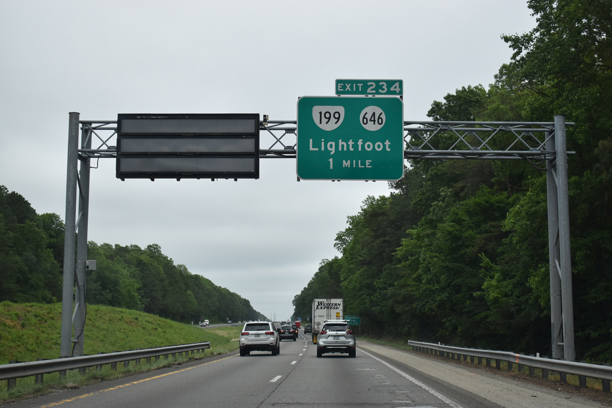
Construction on Segment III of the I-64 Widening Project commenced on August 13, 2018. Work expanded I-64 for 8.25 miles from 1.15 miles west of SR 199 at Exit 234 to 1.05 miles west of SR 199 at Exit 242.1
05/28/21
05/28/21

05/28/21
05/26/22

05/26/22

05/26/22

The I-64 Widening Project replaced the spans along both directions of Interstate 64 over Queens Creek.
05/26/22

05/26/22

05/26/22

A 300 foot long section of transparent noise wall eastbound preserves the motorist visibility of Queens Creek. Comprised of five stacked window-like panels to a height of 15 feet 8 inches above the 3.5 foot concrete parapet wall, installation on the noise wall was completed in May 2021.2
05/28/21
Segment III construction of the I-64 Widening Project wrapped up in December 2021.
05/26/22

05/26/22
05/26/22

05/26/22

05/28/21

05/26/22

05/26/22

05/26/22
05/26/22

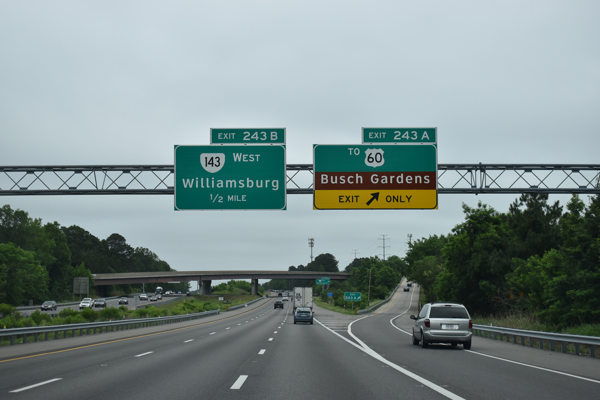
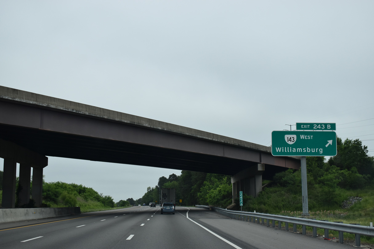
Ramps from both directions of I-64 at Exit 243 combine ahead of a folded diamond interchange with U.S. 60 (Pocahontas Trail).
05/28/21

The limited access road extends 0.46 miles south from the trumpet interchange at Exit 243 to the entrance for Busch Gardens Williamsburg.
05/28/21

10/12/14
05/26/22

05/26/22

05/26/22

05/26/22

05/26/22

05/26/22

Sources:
- Segment III Construction Underway. I-64 Widening, Virginia Department of Transportation (VDOT), Project Update. August 31, 2018.
- Transparent & Concrete Noise Walls Underway. I-64 Widening, Virginia Department of Transportation (VDOT), Project Update. May 5, 2021.
Photo Credits:
06/25/10, 10/12/14, 05/28/21, 05/26/22 by AARoads
Connect with:
U.S. 60
State Route 33
State Route 199
Page Updated 12-12-2022.