

Interstate 64 joins Louisville, Frankfort, Lexington and Huntington, West Virginia across northern Kentucky. Passing through 12 counties, the freeway runs 191.507 miles between the Sherman Minton Bridge spanning the Ohio River and the Big Sandy River south of Catlettsburg. Throughout the state, I-64 replaced U.S. 60. The freeway also overlaps with Interstate 75 for 6.5 miles around the city of Lexington.
Interstate 64 Kentucky Guides

Interstate 64 (Riverside Expressway) straddles the Ohio River west of Downtown Louisville to a directional T interchange (Exit 4) with Roy Wilkins Avenue. Further west is the Norfolk-Southern Railroad bridge. Photo by Justin Cozart (06/04/08).
 scenes scenes |
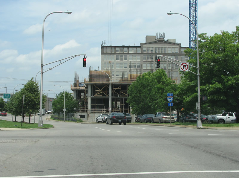 | Roy Wilkins Avenue northbound at Jefferson Street, one block south of the ramps to Interstate 64 at Exit 4. 06/04/08 |
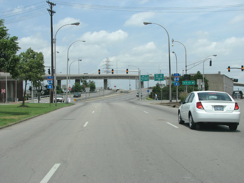 | A second set of Interstate 64 trailblazers lie along Roy Wilkins Avenue north at the split with 9th Street at Market Street east. Market Street carries U.S. 31W northbound from 21st Street north to 2nd Street in Downtown Louisville. 06/04/08 |
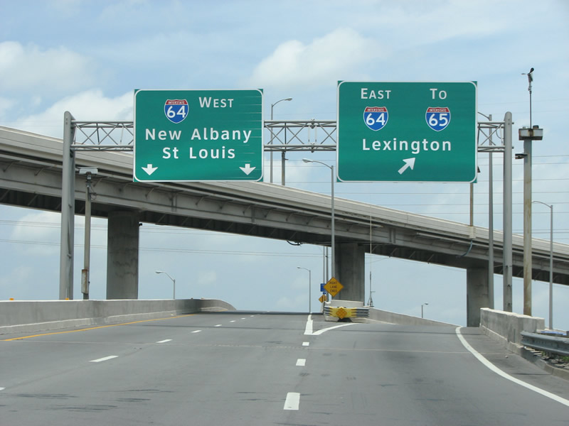 | A directional T interchange connects Roy Wilkins Avenue with Interstate 64 along the Ohio River. 06/04/08 |
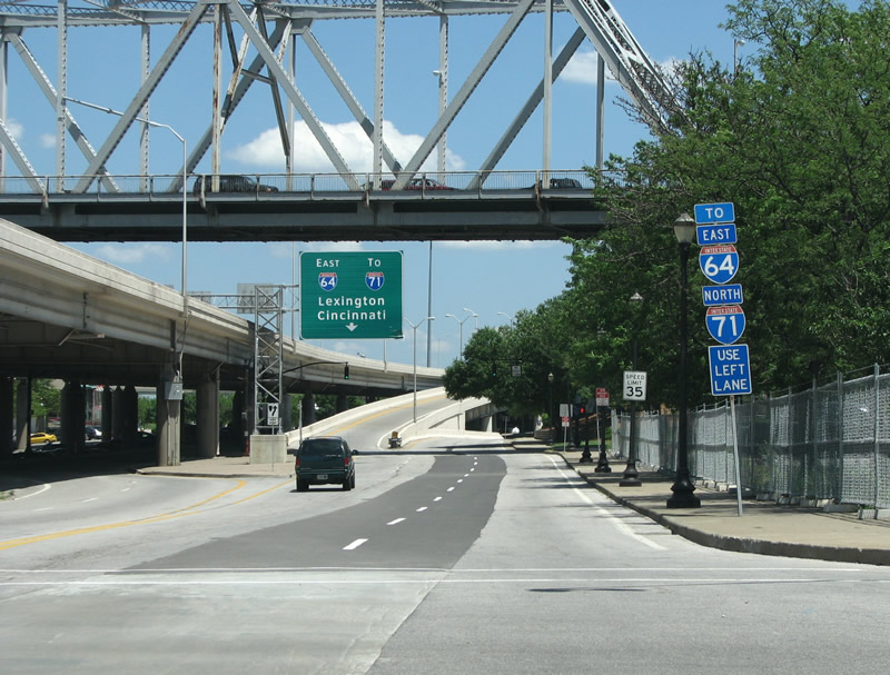 | Looking east from the River Road intersection with North 3rd Street at the entrance ramp to Interstate 64 east. U.S. 31 (George Rogers Clark Memorial Bridge) passes over the wye interchange at Exit 5B in this scene. 06/05/08 |
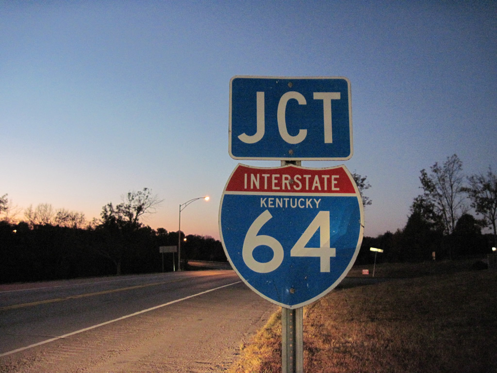 | I-64 state named shield posted along KY 151 north ahead of the diamond interchange at Exit 48. 10/01/10 |
Photo Credits:
- 06/04/08 by Justin Cozart.
- 06/05/08 by Justin Cozart.
- 10/01/10 by AARoads and Carter Buchanan.
Connect with:
Interstate 65
Interstate 71
Interstate 75
Interstate 264 - Shawnee Expressway / Watterson Expressway
Interstate 265 / KY 841 - Gene Snyder Freeway
Page Updated 02-25-2013.