|
| Interstate 69 proceeds 10 miles from U.S. 231 (Exit 87) near Crane to SR 58 (Exit 76) in adjacent Daviess County. 09/08/20 |
|
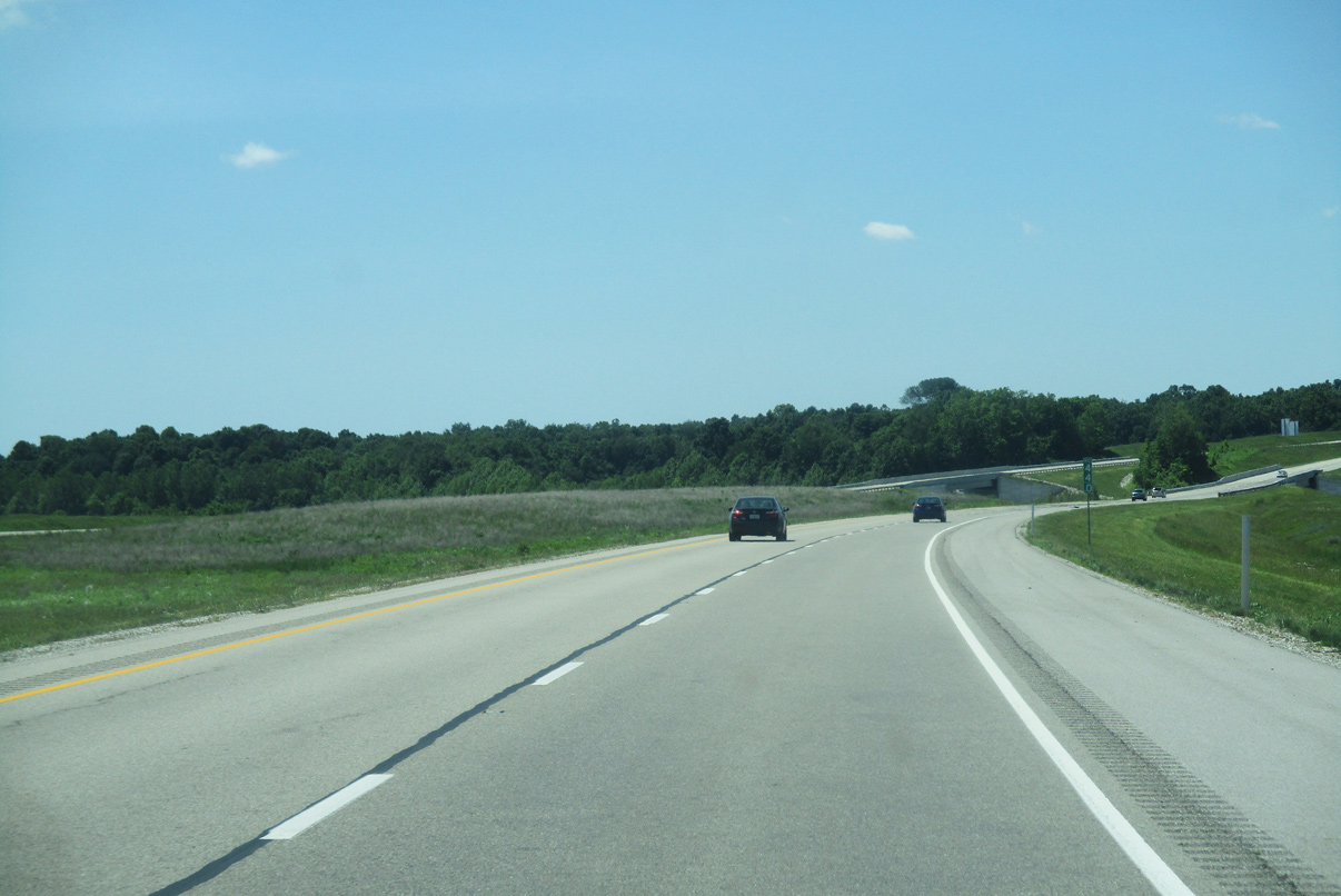
| The freeway bisects farmland as it continues through the southern part of Greene County. 09/08/20 |
|
| I-69 south enters Daviess County ahead of the County Road 900 E under crossing. 09/08/20 |
|
| I-69 advances westward near the Daviess-Greene County line before curving southward to SR 58 (Exit 76). 05/30/16 |
|
| I-69 south passes to the east of Elnora on the two mile drive to SR 58 (Exit 76). 09/08/20 |
|
| SR 58 travels 2.9 miles west and north of the diamond interchange (Exit 76) to Elnora. Heading east, the state road connects I-69 with Oden and Farlen. 09/08/20 |
|
| I-69 south at SR 58 (Exit 76). SR 58 travels 122 miles across west central Indiana between Merom in Sullivan County and I-65 south of Columbus, crossing I-69 between Odon and Elnora. 09/08/20 |
|
| Odon lies 4.4 miles east of Interstate 69 in Madison Township. 09/08/20 |
|
| SR 58 travels 0.9 miles west to SR 358 before turning north to Elnora. SR 358 connects with SR 57. 09/08/20 |
|
| I-69 advances southerly along a 14 mile exit less course to U.S. 50-150 (Exit 62). 09/08/20 |
|
| Terrain along the ensuing stretch of I-69 varies between 500 and 460 feet in elevation above sea level. 09/08/20 |
|
| Select Hill comes into view as I-69 turns southward on the final leg to U.S. 50-150 (Exit 62). Select Hill rises to 663 feet at its highest point. 05/30/16 |
|
| U.S. 50-150 joins I-69 with Washington, seat of Daviess County, in two miles. 09/08/20 |
|
| 100 North passes over I-69 one half mile out from the diamond interchange (Exit 62) with U.S. 50-150. U.S. 50-150 share a 41.9 mile overlap between Shoals and Vincennes, meeting I-69 ahead of Washington. 09/08/20 |
|
| I-69 south rises over a CSX railroad line as a ramp departs for Exit 62 (U.S. 50-150). U.S. 50-150 bypasses Washington to the south as the two routes advance 25 miles to Vincennes. 09/08/20 |
|
| Interstate 69 continues southwest from Washington on a 16 mile exit less stretch to Petersburg. 09/08/20 |
|
| Originating near central Washington, Troy Road crosses over I-69 four miles southwest of U.S. 50-150 (Exit 62). 05/30/16 |
|
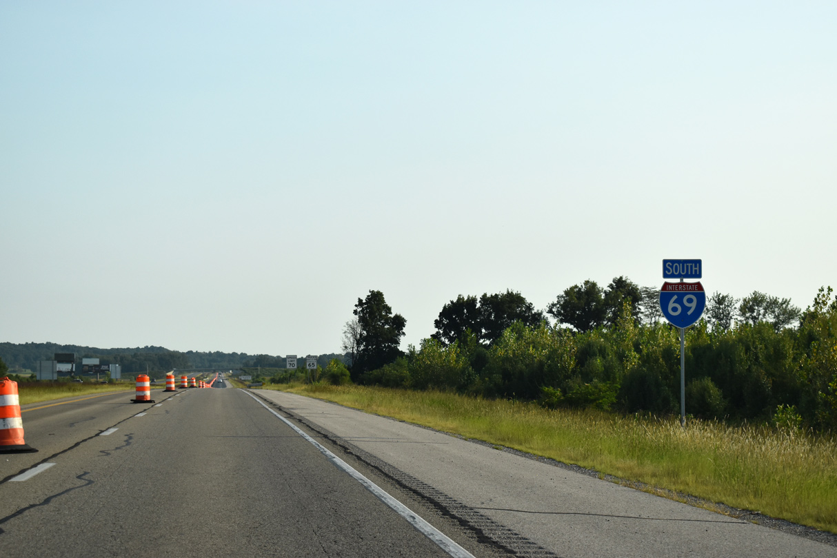
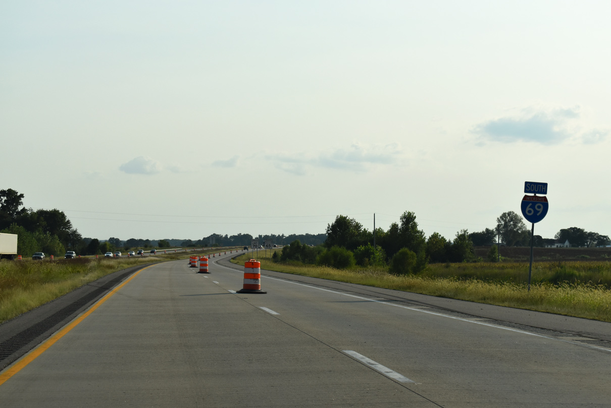
| The freeway meets U.S. 41 in south Evansville adjacent to the Kentucky border 55 miles ahead. 09/08/20 |
|
| I-69 south enters Pike County at the Lieutenant Colonel Don C. Faith Jr. Memorial Bridge over the East Fork of the White River. 09/08/20 |
|
| Exit 46 (SR 56-61) joins Interstate 69 with the Pike County seat of Petersburg in two miles. SR 356 (Alford Road) crosses over the freeway ahead, connecting Petersburg with Otwell. 09/08/20 |
|
| SR 56 originates near Hazelton and travels eastward 194 miles to Aurora. SR 61 travels northward from Newburgh to Vincennes, joining SR 56 south of Petersburg. 09/08/20 |
|
| A 13 mile exit less stretch ensues along I-69 beyond SR 56-61 (Exit 46) ahead. 09/08/20 |
|
| SR 56-61 ties into I-69 at a diamond interchange 1.4 miles south of Petersburg. SR 56 travels 21 miles south and east to Jasper as SR 61 continues north to Monroe City. 09/08/20 |
|
| Confirming marker for I-69 south posted ahead of the Gum Tree Road over crossing. 09/08/20 |
|
| I-69 continues on course through southern Pike County, passing through the more prominent areas for coal mining in the state. 05/30/16 |
|
| I-69 spans the Patoka River, its floodplain, and the Patoka River National Wildlife Refuge via a 4,400-foot bridge. The crossing was designed to have minimal environmental impact to the wildlife refuge and surround area. 09/08/20 |
|
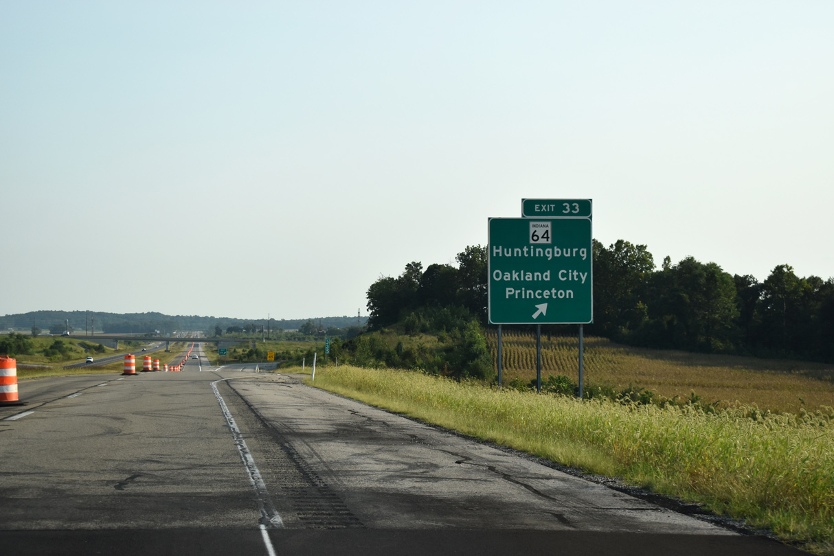
| Two miles out from the diamond interchange (Exit 33) with SR 64 to Huntingburg and Oakland City. Oakland City lies 2.7 miles to the east. 09/08/20 |
|
| SR 64 totals 107.5 miles between the Illinois state line at East Mount Carmel and I-64 and SR 62 at Georgetown. 09/08/20 |
|
| I-69 spans a Norfolk Southern Railroad line ahead of SR 64. Exit 33 also serves Oakland City University and Patoka River National Wildlife Refuge. 05/30/16 |
|
| SR 64 leads west 11.9 miles to Princeton, seat of Gibson County and 25 miles east to Huntingburg, seat of Dubois County. 09/08/20 |
|
| I-69 meets SR 168 (Exit 27) to Fort Branch and Mackey in six miles. 09/08/20 |
|
| Two mile guide sign posted for SR 168 (Exit 27) ahead of the County Road 550 South under crossing. 09/08/20 |
|
| SR 168 travels 17 miles across southern Gibson County from SR 65 in Owensville to SR 57 in Mackey. 09/08/20 |
|
| One half mile out from Exit 27 (SR 168) on I-69 south. 09/08/20 |
|
| Mackey is located 2.3 miles to the east of the diamond interchange (Exit 27). Fort Branch, largest city in Gibson County, is along U.S. 41 7.2 miles west of I-69. 05/30/16 |
|
| I-69 advances southwest from SR 64 to SR 68 (Exit 22) and I-64 (Exit 21BA) next. 09/08/20 |
|
| I-69 advances to within one mile of SR 68 to Lynnville and Haubstadt. 09/08/20 |
|
| SR 57 joins I-69 south ahead at Exit 22 for a 3.4 mile overlap. 09/08/20 |
|
| I-69 lines Gibson-Warrick County on the ensuing stretch to SR 68 (Exit 22). SR 68 remains within 10 miles of I-64 on its 53.9 mile course between New Harmony and Dale. 09/08/20 |
|
| SR 68 beelines 9.4 miles east to Lynnville and 6.1 miles west to Haubstadt. SR 57 follows a course northward back to Petersburg. 09/08/20 |
|
| SR 57-68 share a 0.6 mile overlap between Interstate 69 and Old State Road 57. 09/08/20 |
|
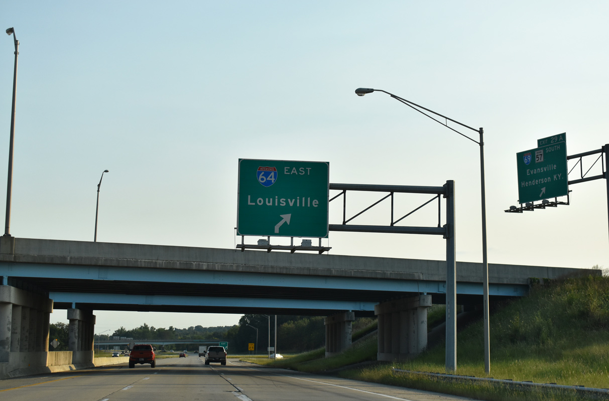
| A cloverleaf interchange joins I-69 and SR 57 south with I-64 west to St. Louis and east to Louisville. 09/08/20 |
|
| SR 57 overlaps with I-69 through the upcoming exchange with I-64 (Exits 21BA) to Exit 19, where it departs for Daylight and Evansville. 09/08/20 |
|
| I-64 advances west one half mile ahead (Exit 21B) to Mount Vernon, Illinois and St. Louis. 09/08/20 |
|
| CR 975 South spans I-69 and SR 57 ahead of Exit 21B to I-64 west. CR 975 South connects with CR 1200 South which was severed as part of initial construction of I-69 north of I-64 in 2009. 09/08/20 |
|
| Exit 21A loops onto I-64 east to New Albany and Louisville, Kentucky. I-64 passes through scenic Hoosier National Forest en route to New Albany. 09/08/20 |
Page Updated 01-06-2016.

 South
South