|
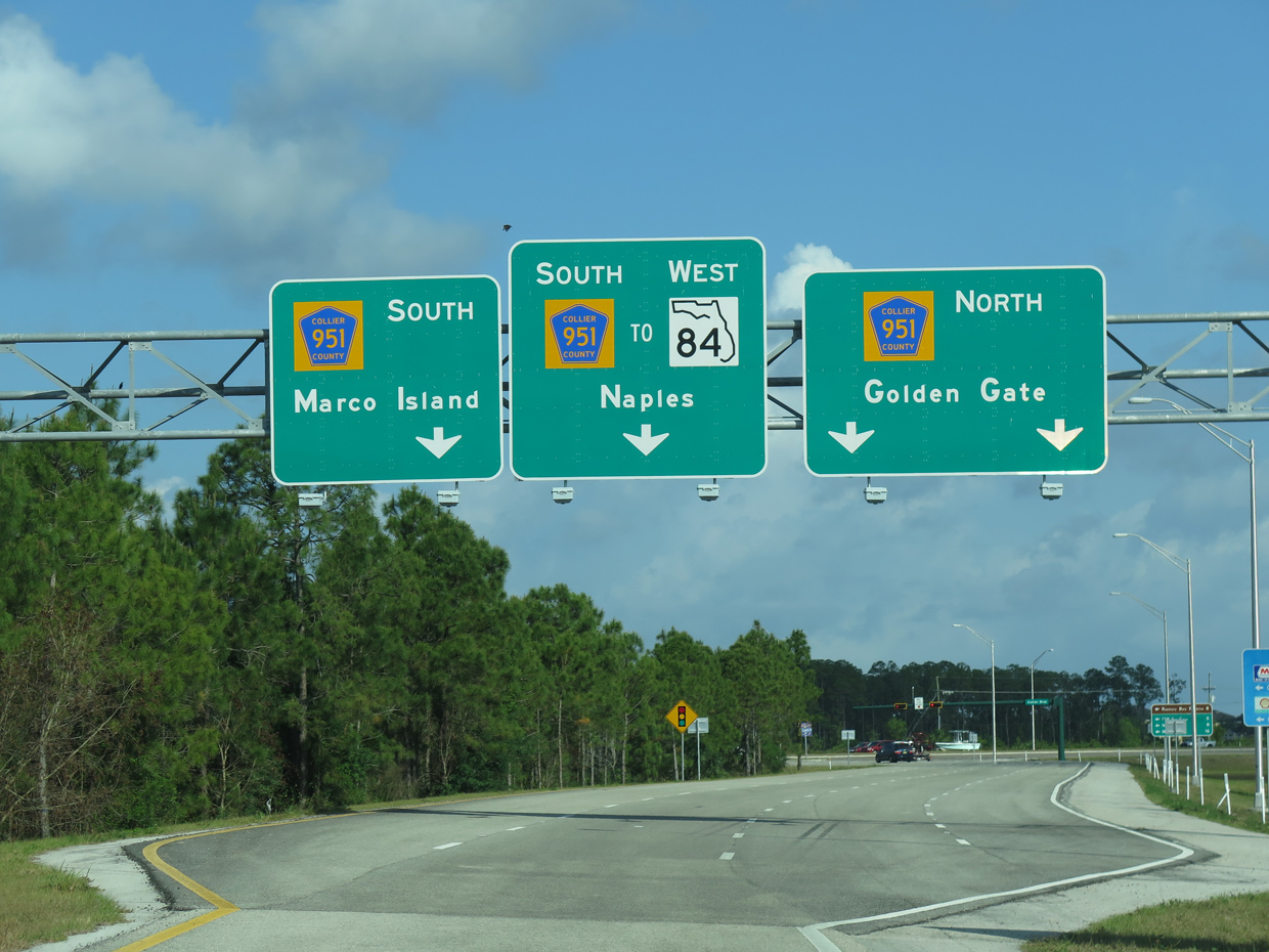
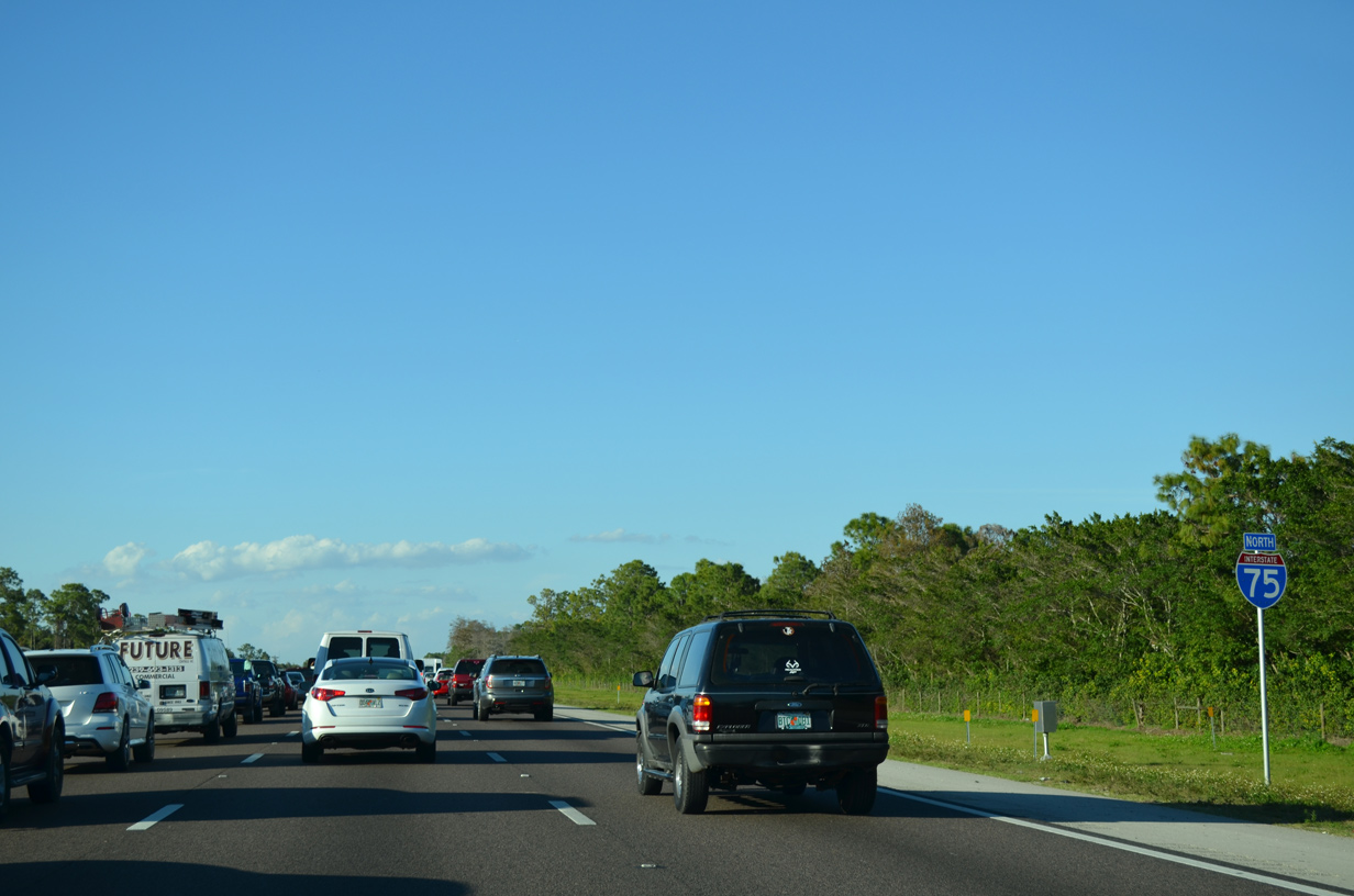
| Leaving Alligator Alley, I-75 north advances toward to Exit 101 for CR 951 and the western segment of SR 84. Replaced by I-75 across Everglades Parkway, the remainder of SR 84 in Collier County runs west from Collier Boulevard to U.S. 41 at Naples. 04/23/16 |
|
| Collier Boulevard is a major arterial that originates at Marco Island. Designated SR 951, Collier Boulevard joins Marco Island with U.S. 41. Continuing north as CR 951, the six lane arterial connects with SR 84 (Davis Boulevard) and Interstate 75 at Exit 101. 03/04/14 |
|
| Collier Boulevard south heads to Rookery Bay Reserve and Marco Island while County Road 951 extends north to nearby Golden Gate and ultimately CR 846. Collier-Seminole State Park lies 15 miles to the southeast via U.S. 41 04/23/16 |
|
| The short stretch between Exit 101 and SR 84 west to Naples doubles as unmarked State Road 951. A second stretch of SR 951 totals 7.07 miles from U.S. 41 south to the Judge S.S. Jolley Bridge. 03/04/14 |
|
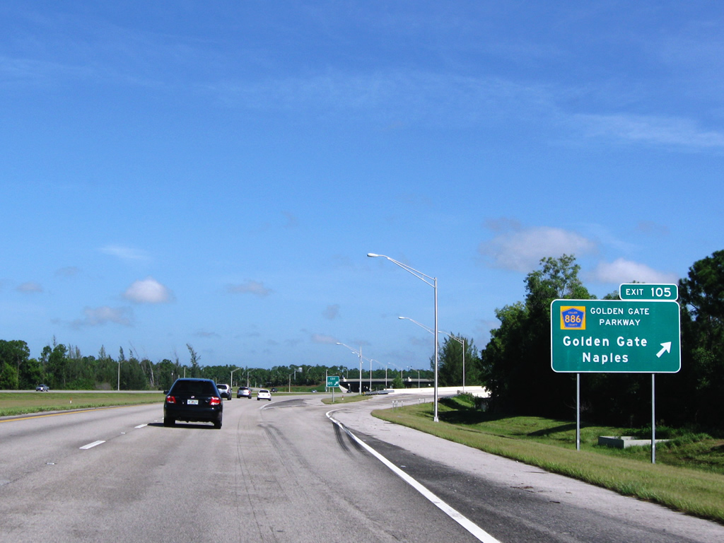
| I-75 concludes its westerly heading at the forthcoming exchange with Golden Gate Parkway (Exit 105) in 2.5 miles. Underway from June 2015 to Summer 2017, a $32 million project expanded I-75 north from Collier Boulevard / Exit 101 to a point just north of Golden Gate Parkway.1 03/04/14 |
|
| Providing additional access to Naples and Golden Gate, the exchange with CR 886 (Golden Gate Parkway) at Exit 105 opened to traffic March 12, 2007. 03/04/14 |
|
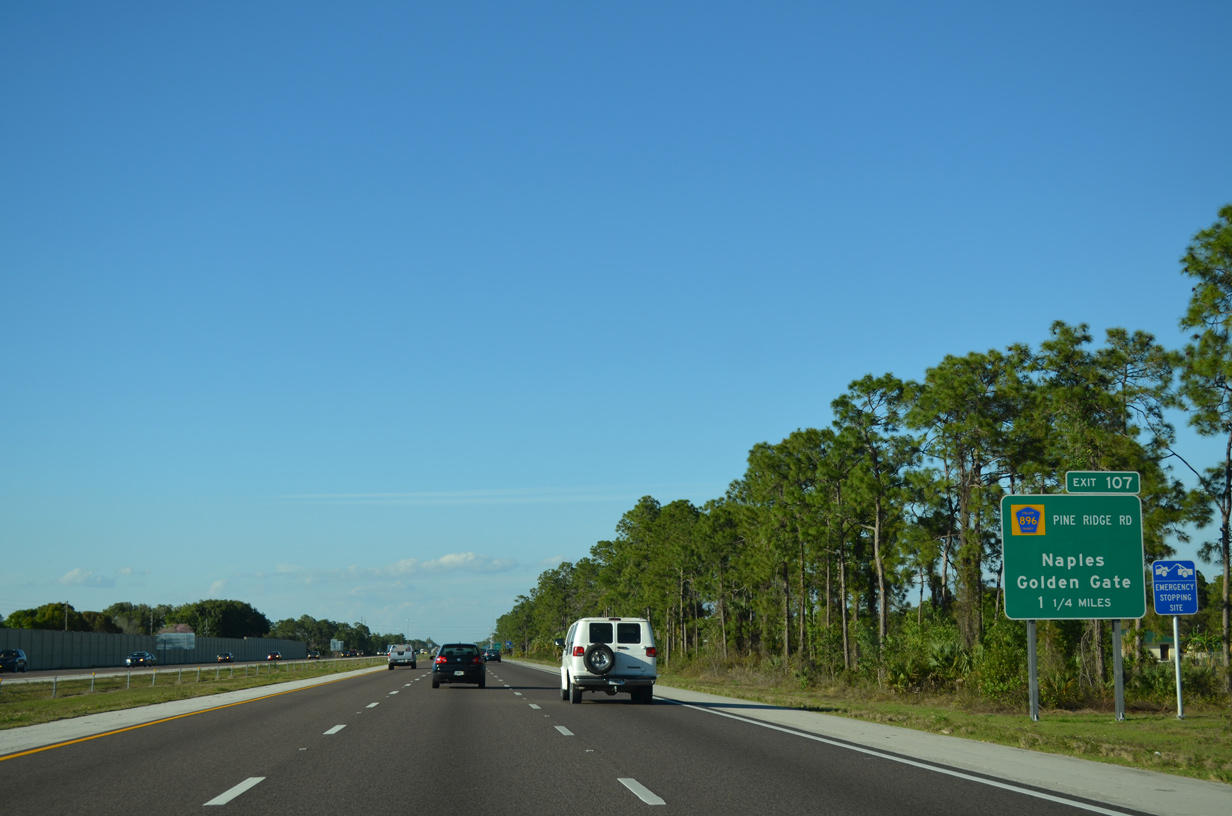
| An older distance sign references the succeeding interchange at Pine Ridge Road (CR 896). This sign predated the completion of the Golden Gate Parkway interchange by at least three years. 03/04/14 |
|
| CR 886 extends 7.2 miles east from U.S. 41, north of Downtown Naples, to CR 951 in Golden Gate. A single point urban interchange (SPUI) opened in 2007 at CR 886 and Airport-Pulling Road 1.75 miles to the west. Airport-Pulling Road (CR 31) is an arterial linking U.S. 41 with CR 846. 03/04/14 |
|
| One half mile ahead of the parclo interchange (Exit 105) with CR 886 (Golden Gate Parkway). Interstate 75 was constructed through the Naples area in the 1980s. 04/29/16 |
|
| Golden Gate Parkway west provides Interstate 75 with a more direct connection to Downtown Naples. CR 886 east navigates through Golden Gate en route to CR 951 (Collier Boulevard). 08/28/10 |
|
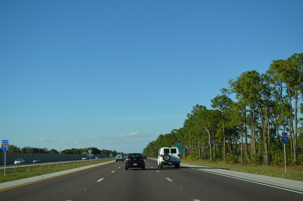
| Interstate 75 proceeds north with six overall lanes to the greater Fort Myers area. 03/04/14 |
|
| Interstate 75 north meets Pine Ridge Road (CR 896) at Exit 107 in 1.25 miles. Part of a project completed before 2010, over 30 miles of I-75 were upgraded from four to six travel lanes to accommodate the increased traffic between Naples and Fort Myers. 03/04/14 |
|
| Pine Ridge Road (CR 896) heads west four miles from Interstate 75 to U.S. 41 in North Naples and east three miles to CR 951. CR 896 intersects Airport-Pulling Road (CR 31) midway between I-75 and U.S. 41. 03/04/14 |
|
| Exit 107 departs for Pine Ridge Road. CR 896 is another major arterial serving the North Naples and Golden Gate areas. 03/04/14 |
|
| County Road 896 lines Pine Ridge Road for seven miles between U.S. 41 and CR 951 (Collier Boulevard). Naples is an eight mile drive west via Pine Ridge Road and U.S. 41 south. 03/04/14 |
|
| Continuing north from Exit 107, Interstate 75 next meets Collier County Road 846 (Immokalee Road) in 3.6 miles. 03/04/14 |
|
| Delnor-Wiggins State Park lies along the Gulf of Mexico at the west end of Collier County Road 846 (Bluebill Avenue). 04/29/16 |
|
| CR 846 (Immokalee Road) is a major arterial west from Exit 111 to U.S. 41 at Naples Park. The county road runs 32.92 miles northeast to SR 29 in Immokalee. 08/28/10 |
|
| Similar to other routes in the Naples area, Immokalee Road (CR 846) from U.S. 41 to east of CR 951 succumbed to suburbanization. Immokalee Road transformed from a two lane road through agriculture areas to a six lane commercial arterial. 03/04/14 |
|
| Several golf course communities line Interstate 75 north to the Lee County line. 03/04/14 |
|
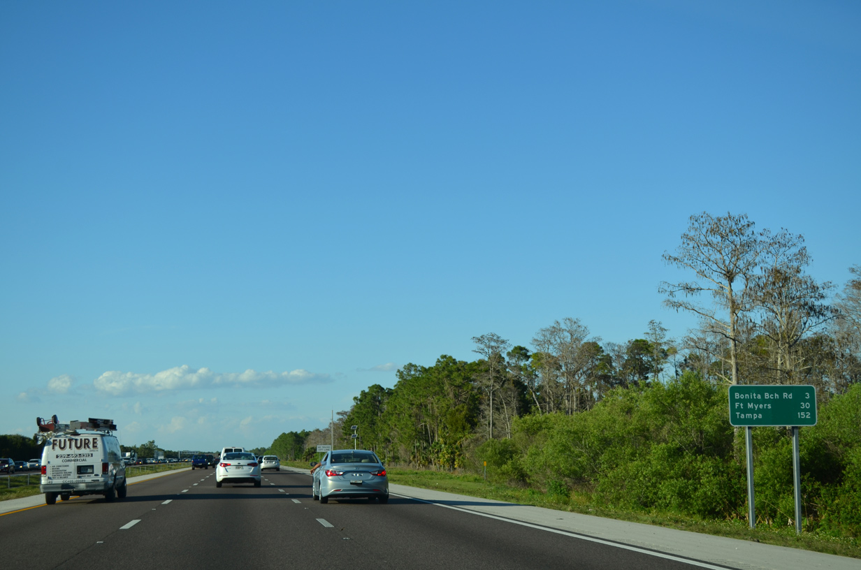
| Fort Myers is another 30 miles to the north, followed by Tampa in 152 miles. 03/04/14 |
|
| Exit 116 joins I-75 with Lee County Road 865 (Bonita Beach Road) in 1.25 miles. CR 865 serves the city of Bonita Beach along the U.S. 41 corridor to the west. 03/04/14 |
|
| Interstate 75 enters Lee County and the city of Bonita Springs at mile marker 115. Bonita Springs was incorporated as a city in December 1999, and underwent tremendous growth since. 04/29/16 |
|
| I-75 travels one half mile north from the Collier County line to CR 865 (Bonita Beach Road) at Exit 116. CR 865 varies between county and state maintained sections on its course from Bonita Springs to Tice. 03/04/14 |
|
| CR 865 (Bonita Beach Road) extends west from I-75 to Bonita Springs before turning northward along Hickory Boulevard toward Fort Myers Beach. Bonita Beach Road spurs east 5.1 miles to the entrance of the Bonita National Golf & Country Club community. 03/04/14 |
|
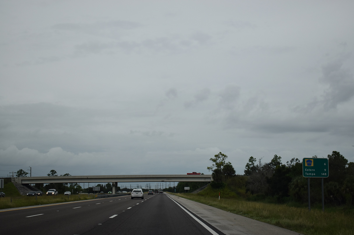
| Interstate 75 advances north from CR 865 and Bonita Springs to Estero and Fort Myers. 11/25/12 |
|
| Terry Avenue passes over I-75 six miles out from Corkscrew Road (CR 850) to Estero. 10/03/20 |
|
| Corkscrew Road (CR 850) joins I-75 with U.S. 41 and the village of Estero from Exit 123 in 1.25 miles. Since renamed Hertz Arena, Germain Arena was greened out on guide signs for Exit 123. 10/03/20 |
|
| Commercial centers and Hertz Arena occupy the northeast quadrant of the upcoming diamond interchange (Exit 123). 03/04/14 |
|
| Corkscrew Road leads east from Interstate 75 to SR 82 in Collier County. 11/25/12 |
|
| Interstate 75 passes by Hertz Arena ahead of this confirming marker. 04/05/15 |
|
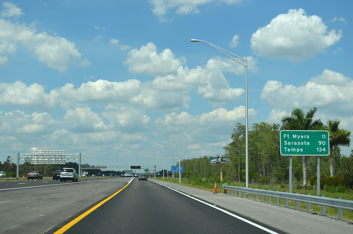
| Estero Parkway spans Interstate 75 three miles ahead of Exit 128 to Alico Road. Downtown Fort Myers lies 18 miles further north. 04/05/15 |
|
| Exit 128 connects Interstate 75 with Alico Road (CR 840) to nearby San Carlos Park in 1.25 miles. Exit 128 also serves travelers bound for Southwest Florida International Airport (RSW). 04/05/15 |
|
| I-75 north passes between the Miromar Lakes Golf Club gated subdivision and Three Oaks Park just ahead of Exit 128. Alico Road runs west to U.S. 41 (Tamiami Trail) north of San Carlos Park. East of I-75, Alico Road continues toward eastern Lee County and Corkscrew Road. 04/05/15 |
|
| A collector distributor separates at Exit 128 for Alico Road and RSW. The c/d roadway reconvenes with I-75 north of the trumpet interchange with the airport access road. 04/05/15 |
|
| Several commercial facilities, including Gulf Coast Town Center, line Alico Road immediately east of I-75 of Exit 128. The c/d roadway advances 1.3 miles north to the airport access road. 04/05/15 |
|
| C/d roadways lines both sides of Interstate 75 between Alico Road (CR 840) and Terminal Access Road. 04/05/15 |
|
| Terminal Access Road provides a direct connection to Southwest Florida International Airport (RSW) from I-75 without having to use local roads. The expressway opened to traffic March 2015 at a cost of $54 million.2 Succeeding road work commenced April 2016 to expand the road from four to six overall lanes between Treeline Avenue and Air Cargo Lane.3 04/05/15 |
|
| The c/d roadway for Southwest Florida International Airport (RSW) rejoins the I-75 northbound mainline within two miles of Exit 131 to Daniels Parkway and an off freeway rest area. 04/29/16 |
|
| Reassurance marker posted at the Terminal Access Road overpass. 04/29/16 |
|
| Continuing north from the c/d roadway at Exit 128, I-75 advances to the first of three access points into Cape Coral. 04/05/15 |
|
| This distance sign with the initial reference to Sarasota was added by 2015 as part of the Direct Connect project linking I-75 with RSW. 04/05/15 |
|
| FDOT recorded 112,936 vehicles per day along Interstate 75 between Terminal Access Road and Daniels Parkway in 2021. Counts nearly doubled from 54,884 vpd in 2008 to 2018. 04/05/15 |
|
| An auxiliary lane extends along I-75 northbound to the parclo interchange (Exit 131) with Daniels Parkway. CR 876 is sporadically signed along its 10.6 mile long route across Lee County. The county road indirectly links Cape Coral with I-75 and Lehigh Acres. 04/05/15 |
|
| Daniels Parkway (CR 876) west constitutes a six lane arterial to U.S. 41 (Cleveland Avenue). Cypress Lake Drive continues CR 876 between U.S. 41 and SR 867 (McGregor Boulevard). East from Exit 131, Daniels Parkway continues 5.9 miles to SR 82 and Lehigh Acres. 04/05/15 |
|
| The city of Cape Coral is located west of Fort Myers and the Caloosahatchee River, ten miles from Exit 131. 04/29/16 |
Page Updated 09-09-2022.

 North
North