|
| VT 12 passes under Interstate 89 just beyond the on-ramp from Memorial Drive and Montpelier. The state route runs southwest along the Dog River to West Berlin and Northfield. 10/06/14 |
|
| The city of Barre lies six miles to the southeast via VT 62 east while White River Junction is 54 miles south of Montpelier. 10/06/14 |
|
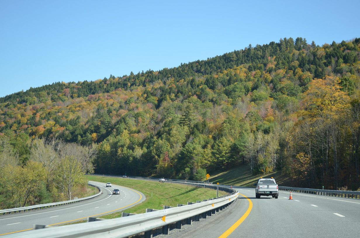
| Continuing in the town of Berlin, southbound I-89 next enters a trumpet interchange (Exit 7) with VT 62 east to Berlin Corners and Barre. 10/06/14 |
|
| VT 62 functions similar to the Interstate Access Road at St. Albans, providing an expressway spur from Interstate 89 to the city of Barre. A northeast prong from the route links with U.S. 302 west back into Montpelier as well. 10/06/14 |
|
| Exit 7 loops away from I-89 south onto VT 62 east just ahead. The state route travels just 4.52 miles east to U.S. 302 (Main Street) at Maple Avenue north of Downtown Barre. A 171 mile long route to Portland, Maine, U.S. 302 begins in Montpelier. The route extends east from Barre to Woodsville and Littleton, New Hampshire. 10/06/14 |
|
| Interstate 89 lowers into a valley by Berlin Pond and Paine Turnpike South just to the west of Berlin Corners. 10/06/14 |
|
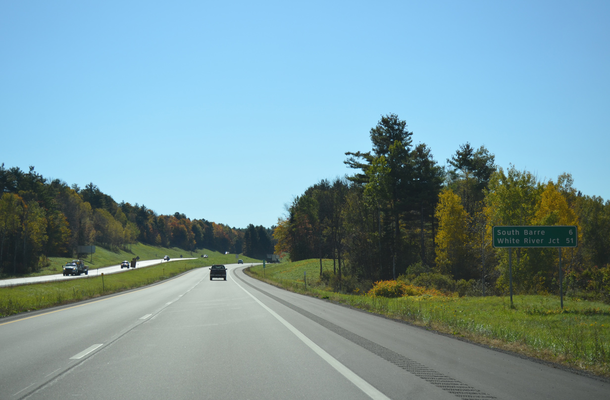
| Continuing south, I-89 travels west of South Barre on the 51 miles leading to White River Junction. 10/06/14 |
|
| Forthcoming VT 63 comprises a 3.90 mile route east to VT 14 (South Barre Road) in South Barre. 10/06/14 |
|
| One half mile ahead of the trumpet interchange (Exit 6) with VT 63 east on Interstate 89 in south Berlin. 10/06/14 |
|
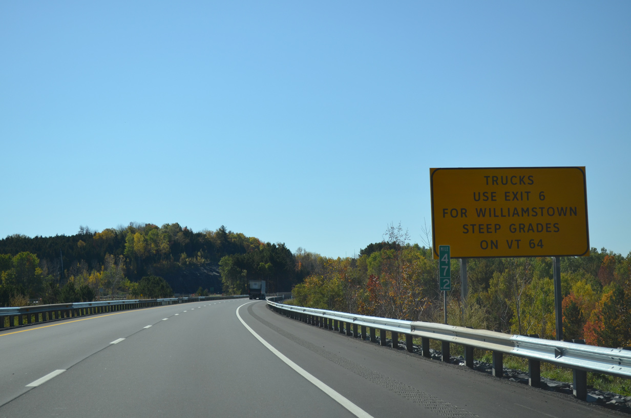
| The adjacent town of Williamstown is served by the following exit on Interstate 89 south. Truck traffic headed for the town center is directed to use VT 63 east to VT 14 south due to steep grades. 10/06/14 |
|
| Exit 6 departs Interstate 89 south for VT 63 east. VT 63 winds east along an at-grade two lane expressway to Middle Road south to Graniteville and the granite quarries in Barre. 10/06/14 |
|
| Interstate 89 angles more westerly from Exit 6 southward alongside the Northfield and Williamstown town line. 10/06/14 |
|
| Formally entering Williamstown, I-89 also crosses the Orange County line. 10/06/14 |
|
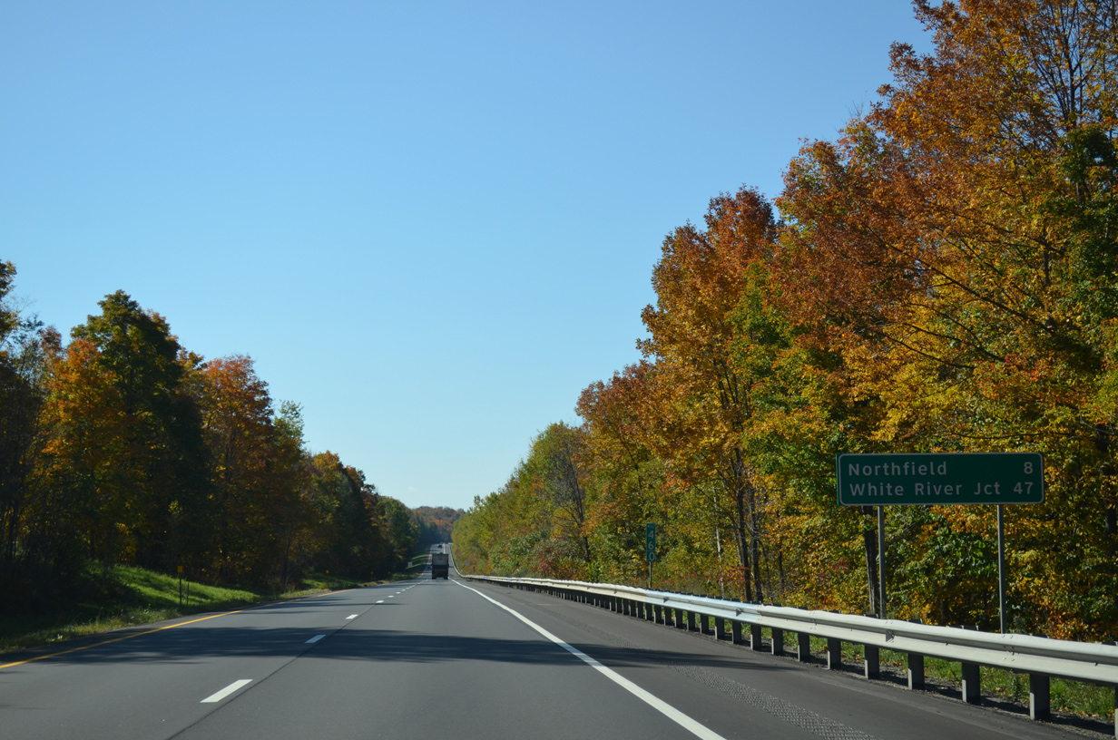
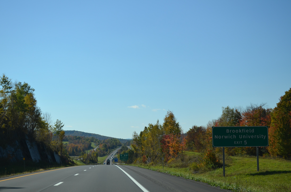
| Northfield, home of Norwich University, is the next destination referenced to southbound motorists. The town center lies eight miles away via VT 64 west and VT 12 north. 10/06/14 |
|
| One mile north of Exit 5 with VT 64 (Northfield Road) along I-89 south. VT 64 connects the freeway with VT 12 at South Northfield to the west. 10/06/14 |
|
| A lengthy exit less stretch ensues beyond VT 64 through the town of Brookfield. Interests to the town center are directed along VT 14 south to VT 65 west. 10/06/14 |
|
| A diamond interchange (Exit 5) joins Interstate 89 with VT 64 (Northfield Road) just east of the Washington County and Northfield town line. 10/06/14 |
|
| VT 64 meanders east from Exit 5 to VT 14 at the Williamstown town center. The state route travels just 6.77 miles overall. 10/06/14 |
|
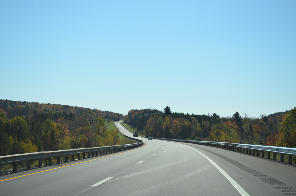
| The roadways of Interstate 89 remain separated by a forested median as the freeway curves more to the east through south Williamstown. 10/06/14 |
|
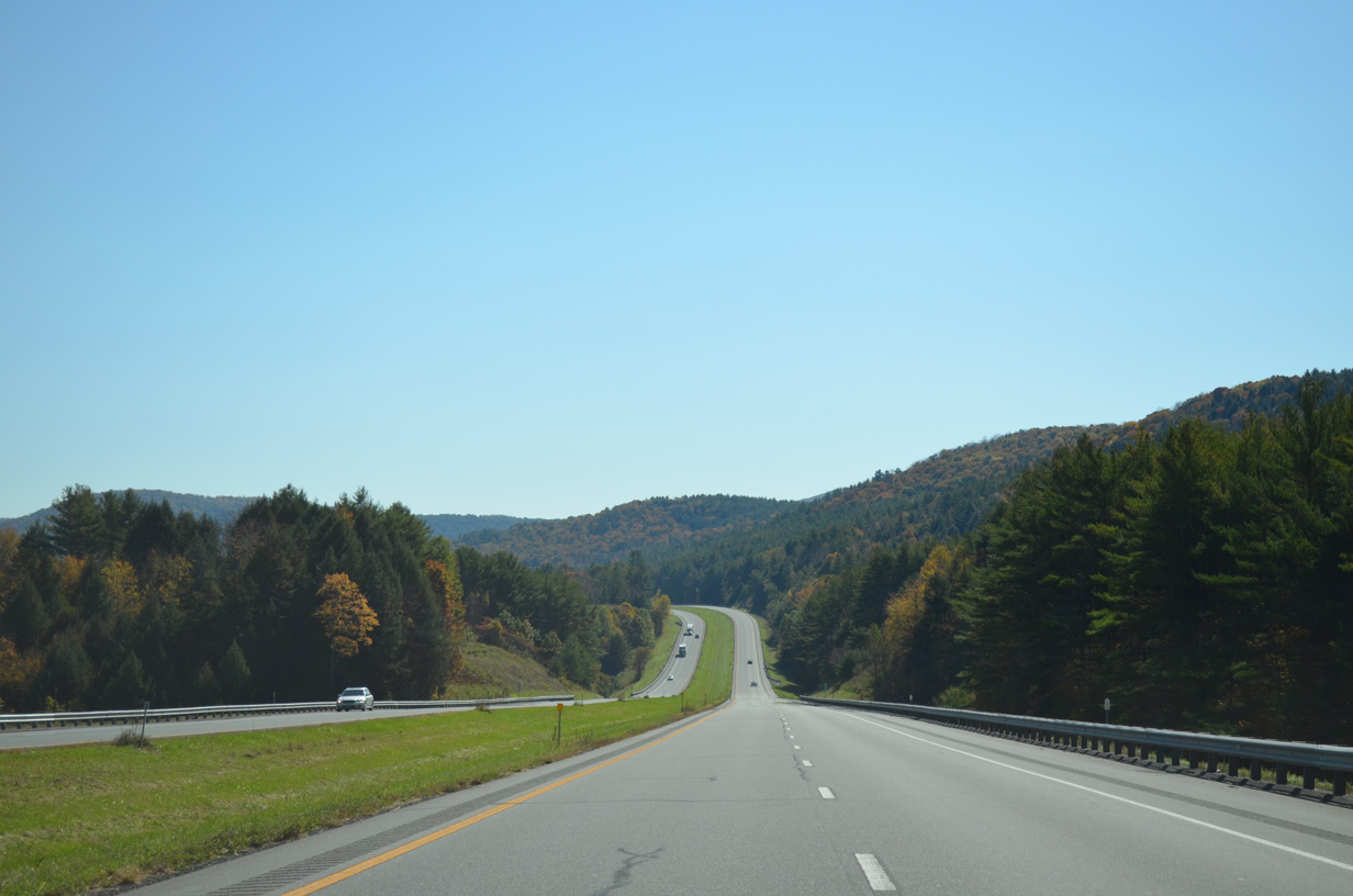
| Interstate 89 advances southward toward the town of Randolph on the 43 mile drive to White River Junction. 10/06/14 |
|
| Nearing the Brookfield town line along I-89 south. 10/06/14 |
|
| Southbound I-89 at the Northfield Road under crossing near Lamson Pond. 10/06/14 |
|
| VT 65 crosses over Interstate 89 to the west of Sunset Lake and the Brookfield town center. The state route runs 5.22 miles between VT 12 and VT 14 within the town of Brookfield. 10/06/14 |
|
| Climbing west of Pickles Pond, I-89 enters the town of Randolph ahead of last Vermont rest area. 10/06/14 |
|
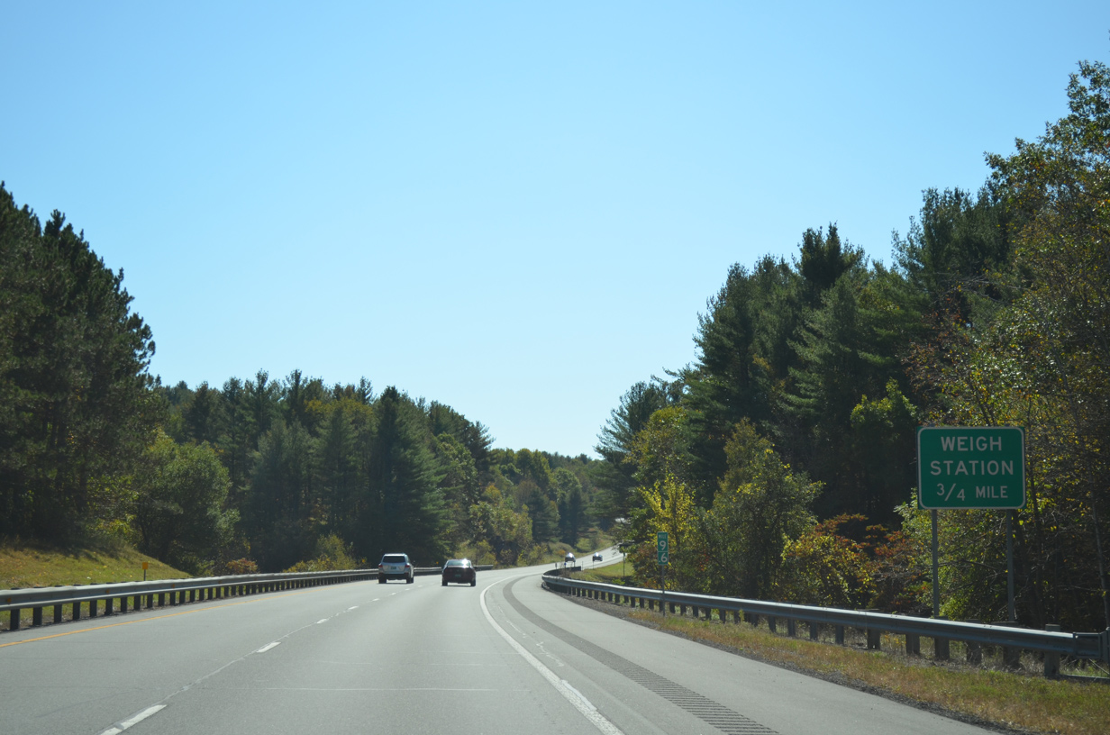
| Like other rest areas along the freeway, the Randolph rest area doubles as a weigh station for commercial truckers. 10/06/14 |
|
| The southbound side rest area precedes Hebard Hill (el. 1,486 ft). The northbound area lies at the Brookfield town line near Pickles Pond. 10/06/14 |
|
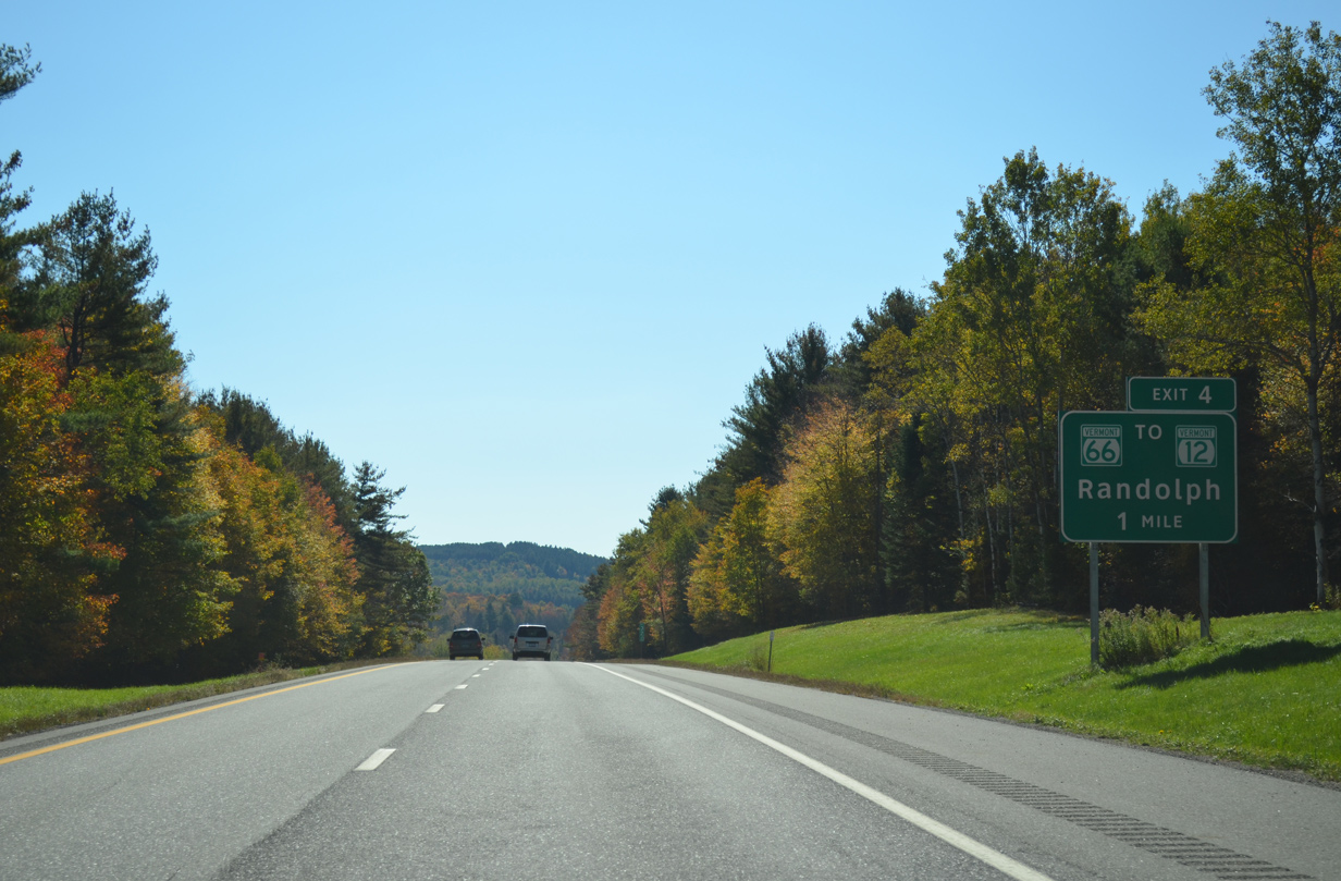
| VT 66 arcs west across Interstate 89 at Exit 4 from Randolph Center to the Randolph town center. 10/06/14 |
|
| VT 66 travels a short distance east of the diamond interchange (Exit 4) with I-89 to Ridge Road and the campus of Vermont Technical College. Turning north, VT 66 follows Ridge Road for 0.6 miles before resuming an eastward course to VT 12 at East Randolph. 10/06/14 |
|
| West from Exit 4, VT 66 concludes a 7.62 mile route at VT 12 (Forest Street), just ahead of a southward turn into Downtown Randolph. VT 12 stays west of the I-89 corridor to Bethel and Woodstock. 10/06/14 |
|
| Another roadway separation along Interstate 89 south after Exit 4. 10/06/14 |
|
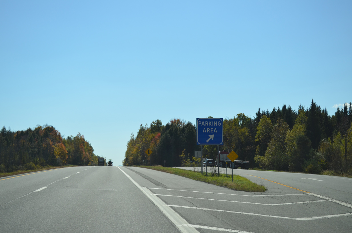
| A south side parking area follows within one mile of the VT 66 on-ramp. 10/06/14 |
|
| The 8.7 mile exit less stretch leading south from Randolph to Bethel leads motorists to the town center in ten miles. White River Junction is less than a half hour away. 10/06/14 |
|
| Southbound at the Randolph parking area on I-89. The freeway ascends across Fish Hill (el. 1,342 ft) over the next several miles. 10/06/14 |
|
| East of Dowdey Corner, Interstate 89 crosses both the Windsor County and Bethel town line. 10/06/14 |
|
| A wide grassy median appears in this scene to the east of Quarry Hill (el, 1,394 ft). 10/06/14 |
|
| The roadways of I-89 converge south of milepost 25 and before the Royalton town line. 10/06/14 |
|
| VT 107 and Interstate 89 come together at a folded diamond interchange (Exit 3) opposite the White River in one mile. 10/06/14 |
|
| Travelers bound for the city of Rutland are directed onto VT 107 west from Interstate 89 to VT 100 in the town of Stockbridge. VT 100 meanders south from there to Pittsfield and U.S. 4 for the final link to Rutland. 10/06/14 |
|
| VT 107 parallels the White River for the entire 13.50 mile length between VT 100 and VT 14 at nearby North Royalton. VT 14 mirrors the river east to South Royalton, Hartford and U.S. 4/5 in White River Junction. 10/06/14 |
|
| Broad Brook Mountain (el, 1,368 ft) rises to the south of the White River as Exit 3 leaves Interstate 89 south for VT 107. VT 107 leads west 2.6 miles to VT 12 at the Bethel town center. 10/06/14 |
|
| Rutland is a 35 mile drive to the southwest via U.S. 4. U.S. 4 meets I-89 directly at Exit 1 and Centertown. 08/04/07 |
|
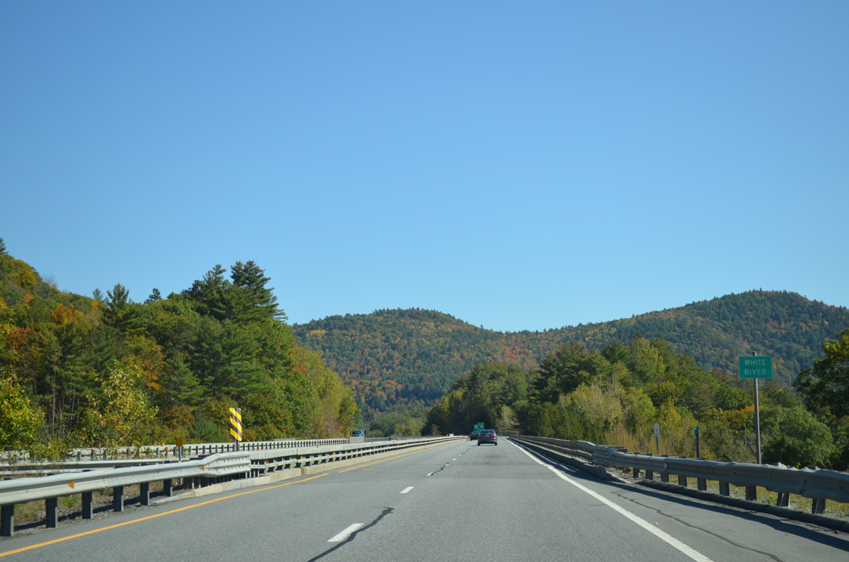
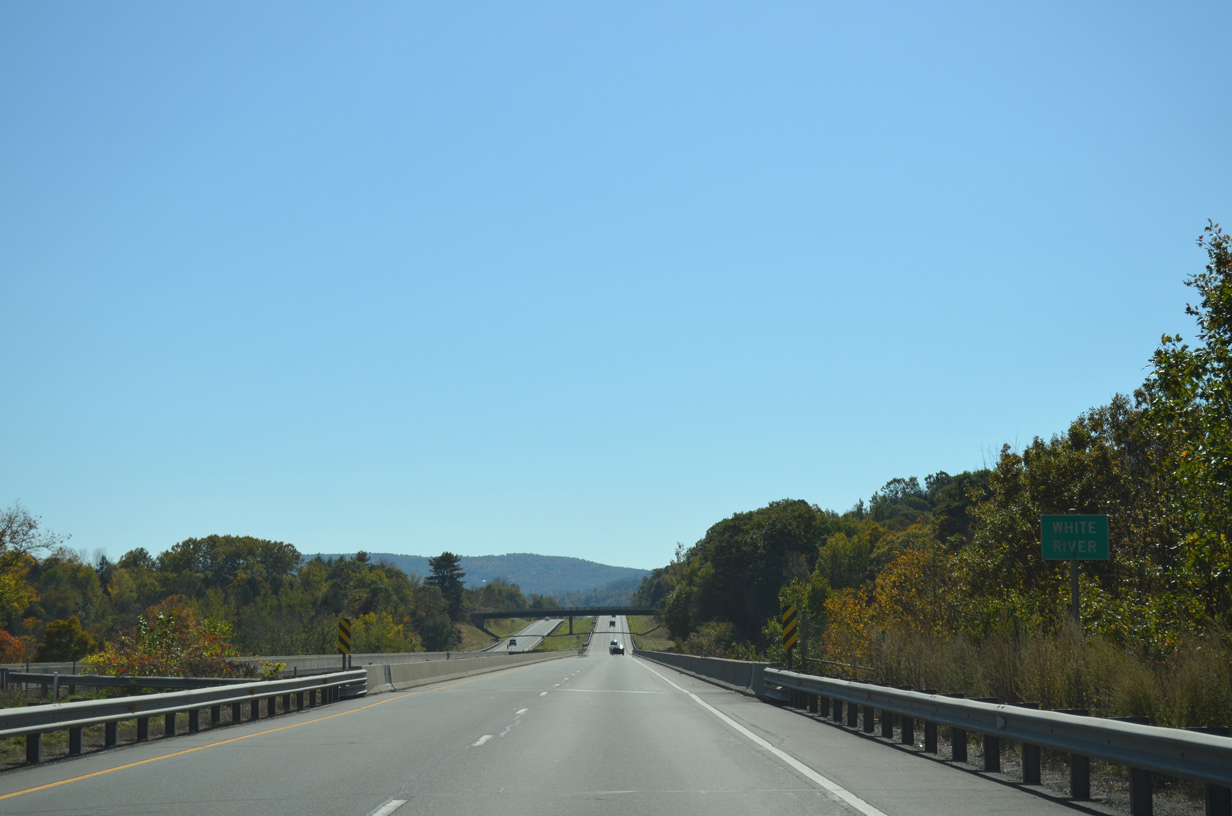
| Spanning both VT 107 and the White River along Interstate 89 south. The White River flows 60.1 miles east from Skylight Pond by Battell Mountain (el, 3.428 ft) in the Green Mountain chain to the Connecticut River at White River Junction. 10/06/14 |
|
| Angling southeast from the White River, Interstate 89 passes by a former north side parking area between Gilman and Royalton Hill Roads. 10/06/14 |
|
| Two interchanges remain along the 24 mile drive southeast to White River Junction along Interstate 89. The Sharon town center is accessed next in eight miles. 10/06/14 |
|
| Interstate 89 encircles Kents ledge to the south of the White River. 10/06/14 |
|
| Taking an S-curve along I-89 south ahead of milepost 19 and South Royalton. 08/04/07 |
|
| Elephant Hill (e. 1,089 ft) rises east of South Royalton as Interstate 89 resumes a southeasterly heading. 08/04/07 |
|
| South of the Oxbow Road overpass, Interstate 89 advances to the Sharon town line. 10/06/14 |
|
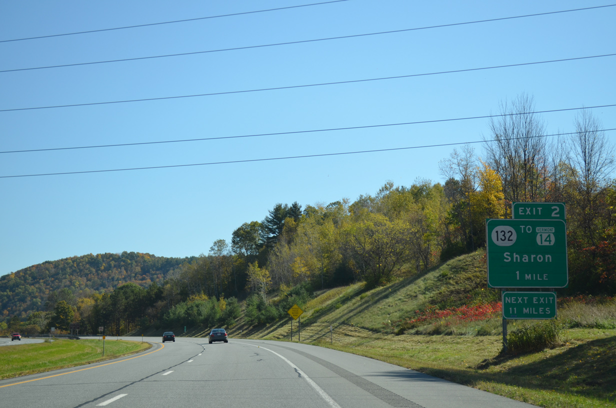
| A diamond interchange (Exit 2) joins Interstate 89 with VT 132 at the Sharon town center south of Baxter Mountain (el. 1,161 ft) in one mile. 10/06/14 |
|
| Interstate 89 crosses the White River for the second of three times to the north of Billings Hill (el. 1,227 ft). 10/06/14 |
|
| VT 132 begins a 16.96 mile route just south of Exit 2 at parallel VT 14. VT 132 varies between state and town maintenance northeast between Baxter and Tyler Mountains to the town of Strafford. The state route also leads motorists north to the Justin Morrill Historic Site. 10/06/14 |
|
| Exit 2 parts ways with Interstate 89 south to VT 132 to VT 14 at Sharon. VT 132 arcs southeast from South Strafford to the town of Thetford and U.S. 5 at Pompanoosuc. VT 14 remains along the White River to the west of I-89 to West Hartford. 10/06/14 |
|
| Interstate 89 turns southward alongside Tyler Mountain (el, 1,467 ft). 10/06/14 |
|
| White River Junction is 15 miles away. No destination city is given for the continuation of I-89 south into the Granite State. 10/06/14 |
|
| Curving eastward by Quimby Mountain (el. 1,588 ft) through south Sharon on I-89 south. 10/06/14 |
|
| A weigh station lines the southbound side of Interstate 89 ahead of the Hartford town line. 10/06/14 |
|
| The weigh station in south Sharon was originally also the final rest area of Interstate 89 south in Vermont. 10/06/14 |
|
| Passing by West Hartford along Interstate 89 south. 10/06/14 |
|
| Interstate 89 spans both VT 14 and the White River ahead of the Old River Road overpass in the town of Hartford. 10/06/14 |
|
| Interstate 89 increases in elevation to Centertown and the exchange with U.S. 4. 10/06/14 |
|
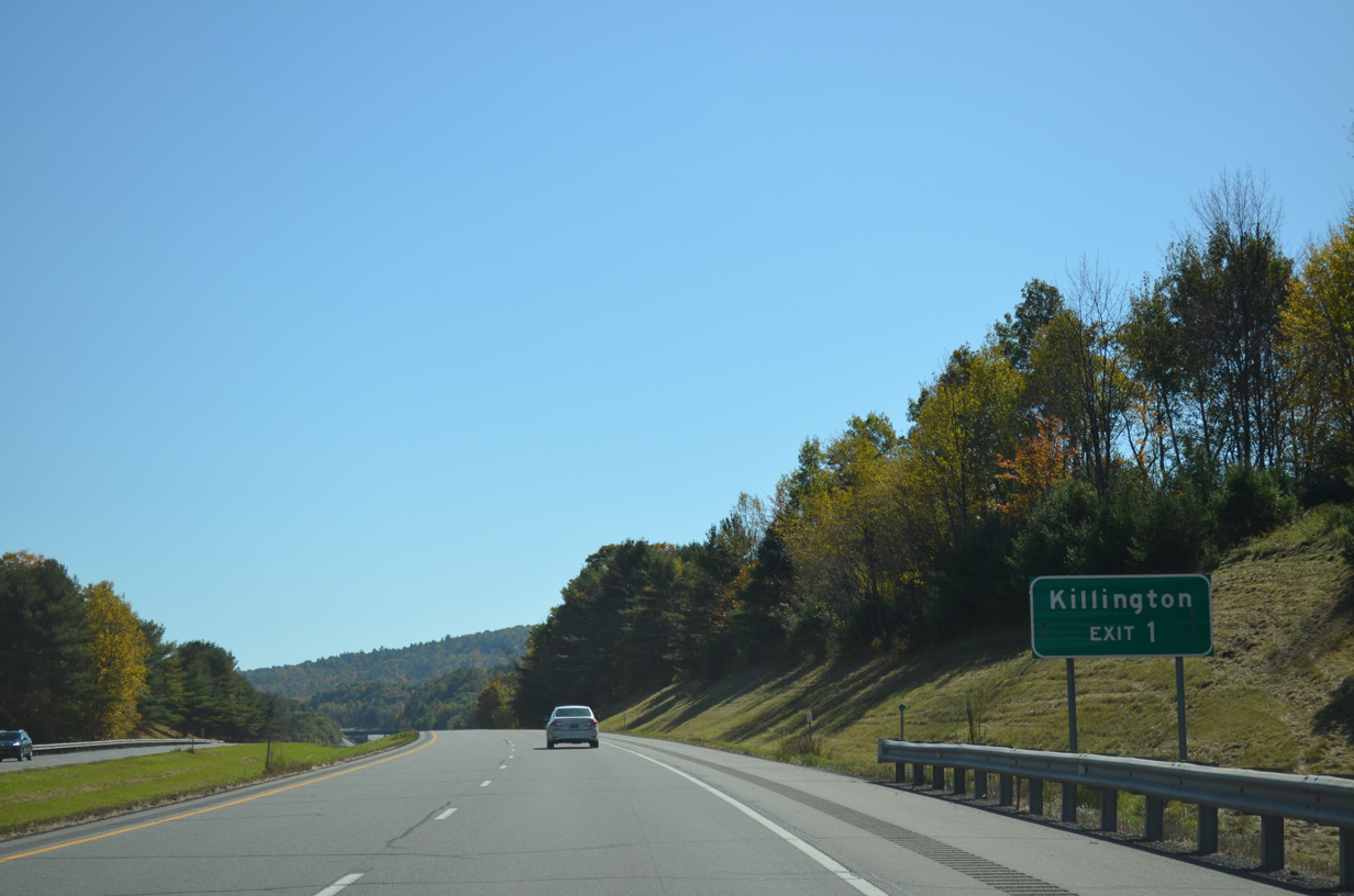
| U.S. 4 takes a winding course east from Rutland to Woodstock and Quechee to meet Interstate 89 at a folded diamond interchange (Exit 1) in one mile. 10/06/14 |
|
| U.S. 4 west across the Green Mountains reaches the Killington town center in 28 miles. Killington is home to both the Pico Mountain and Killington Ski Resort. 10/06/14 |
|
| Exit 1 loops away from Interstate 89 south to U.S. 4 (Woodstock Road). The US route runs east to combine with U.S. 5 north into White River Junction. 10/06/14 |
|
| The final reassurance marker for I-89 south in Vermont stands ahead of Hurricane Hill (el, 1,204 ft). 10/06/14 |
|
| A nondescript sign gives the first indication to southbound travelers of the unnumbered interchange with Interstate 91. 10/06/14 |
|
| Crafts Hill (el. 1,070 ft) in the town of Lebanon, New Hampshire rises to the east as Interstate 89 curves southward around White River Junction. 08/07/04 |
|
| A directional cloverleaf interchange connects I-89/91 outside White River Junction in one mile. Interstate 91 ventures south to Brattleboro and Springfield, Massachusetts and north to St. Johnsbury and Newport in Vermont. 10/06/14 |
|
| All traffic to Interstate 91 departs I-89 south in unison as outlined in this diagrammatic sign posted ahead of the U.S. 5 underpass. I-91 north and U.S. 5 come together just north of I-89. 10/06/14 |
|
| Interstate 91 parallels U.S. 5 throughout the 290.37 mile long route between New Haven, Connecticut and the Canadian border at Derby line. An erroneous VT oval shield referenced New Hampshire Route 12A (Exit 20) on the pull through panel. 10/06/14 |
|
| Taking the ramp to Interstate 91, traffic partitions for I-91 south to Windsor, Springfield and Brattleboro and north to White River Junction, Norwich and St. Johnsbury. 08/07/04 |
|
| Long exit less stretches are a common theme along Interstate 91 as it parallels the Connecticut River south to Massachusetts and north to Barnet. 08/07/04 |
|
| The on-ramp from I-91 north to I-89 south merges onto the freeway at the Vietnam Veterans Memorial Bridge across the Connecticut River into West Lebanon, New Hampshire. 10/06/14 |
|
| The state line hugs the west banks of the Connecticut River as the 130.25 mile route of I-89 in Vermont concludes. 10/06/14 |
Page Updated 03-12-2015.

 South
South