
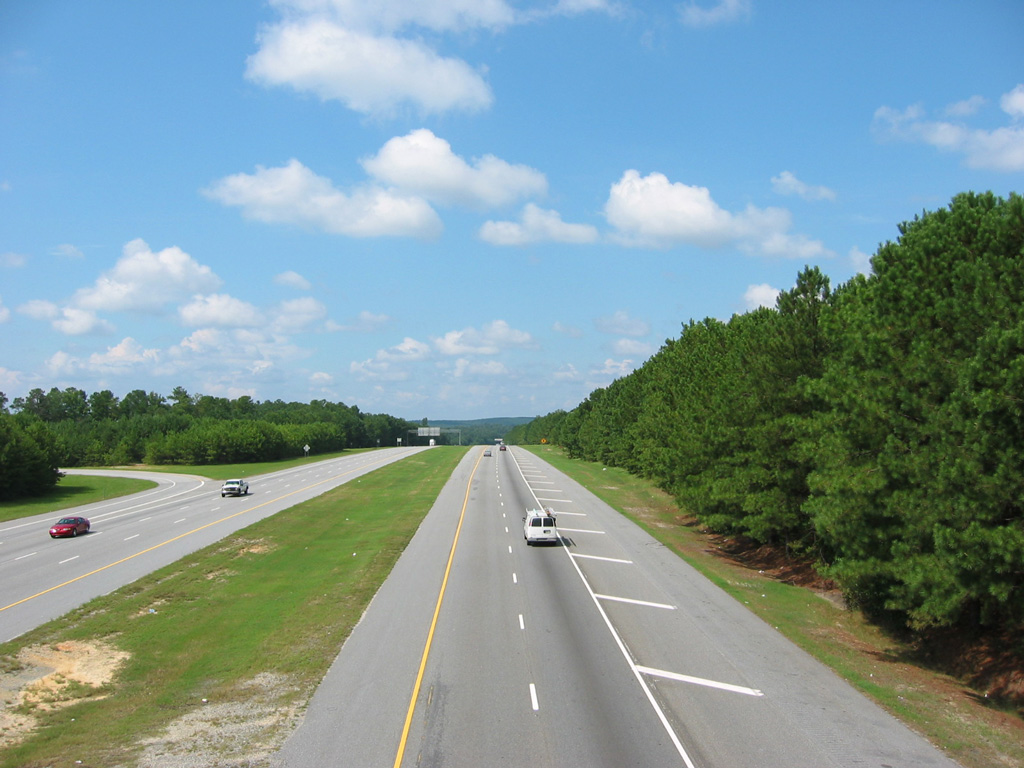
Traveling south from Interstate 85 in Troup County, Interstate 185 follows a rural route through Harris County to northern reaches of Columbus. South of Williams Road, I-185 constitutes a six lane urban freeway through Columbus to U.S. 27-280/SR 520 (Victory Drive), and Lindsey Creek Parkway south into Fort Moore.
Interstate 185 Georgia Guides
Georgia State Route 85 was the one of the corridors considered as principle route between Atlanta and Columbus from 1948 to the early 1970s. Efforts during that time period focused on four laning the state route between the two cities, but ultimately an Interstate corridor was built further west. The last segment of Interstate 185 opened in 1979.1
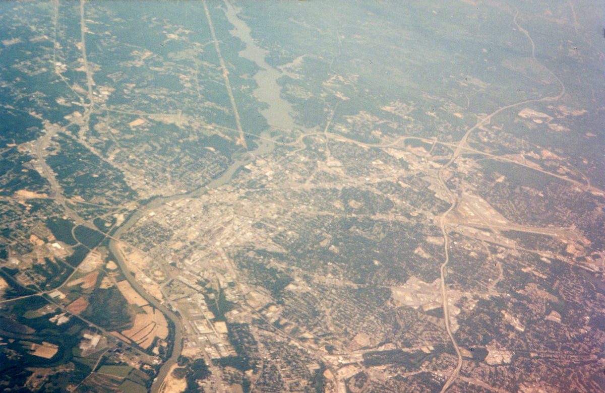
The city of Columbus and Muscogee Counties consolidated in 1971. Including Phenix City, Alabama, the metropolitan area boasted 296,506 residents per the 2010 U.S. Census.
 scenes scenes |
 | Upper Big Springs Road extends east from Colquitt Street in LaGrange to meet Interstate 185. 10/04/01 |
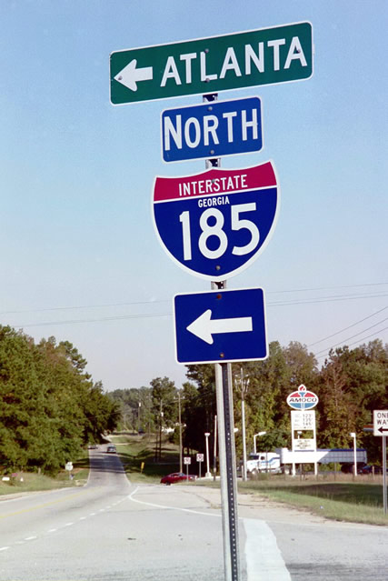
 | Entering the diamond interchange (Exit 46) with Interstate 185 on Upper Big Springs Road east. 10/04/01 |
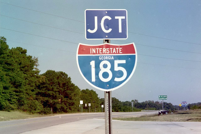
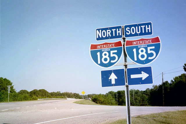
 | Interstate 185 travels 3.7 miles north from the Upper Big Springs Road overpass to merge with I-85 north ahead of Hogansville. 10/04/01 |
- "Would Four Lanes Drive Away Rural Lifestyle?, Supporters of Widening Georgia 85 Say it would Promote Safety, Business, but some along Road are Skeptical." Columbus Ledger-Enquirer (GA), September 18, 1994.
Photo Credits:
10/04/01 by AARoads
Connect with:
Interstate 85
U.S. 27
U.S. 80
U.S. 280
Page Updated 12-13-2023.