|
| Construction replaced the at-grade intersection between SR 1 and the south end of SR 9 on September 30, 2009, when a new diamond interchange (Exit 91) opened to traffic. 06/18/12 |
|
| SR 1 (Bay Road) transitions to a limited access highway along the west side of Dover Air Force Base. Three off-ramps serve the base over the course of four miles. 06/18/12 |
|
| SR 9 (Bayside Drive) circles around the east side of Dover A.F.B. to Little Creek and Leipsic north of Dover. The state route winds 58.18 miles north from Dover along a coastal route to New Castle and a north end in Wilmington. 06/18/12 |
|
| Exit 92 leaves SR 1 as the freeway turns northwest into the city of Dover. Kitts Hummock Road stems east from SR 9 nearby to Kitts Hummock along Delaware Bay. Points of Interest to the east include the Air Mobility Museum and John Dickinson Plantation. 06/18/12 |
|
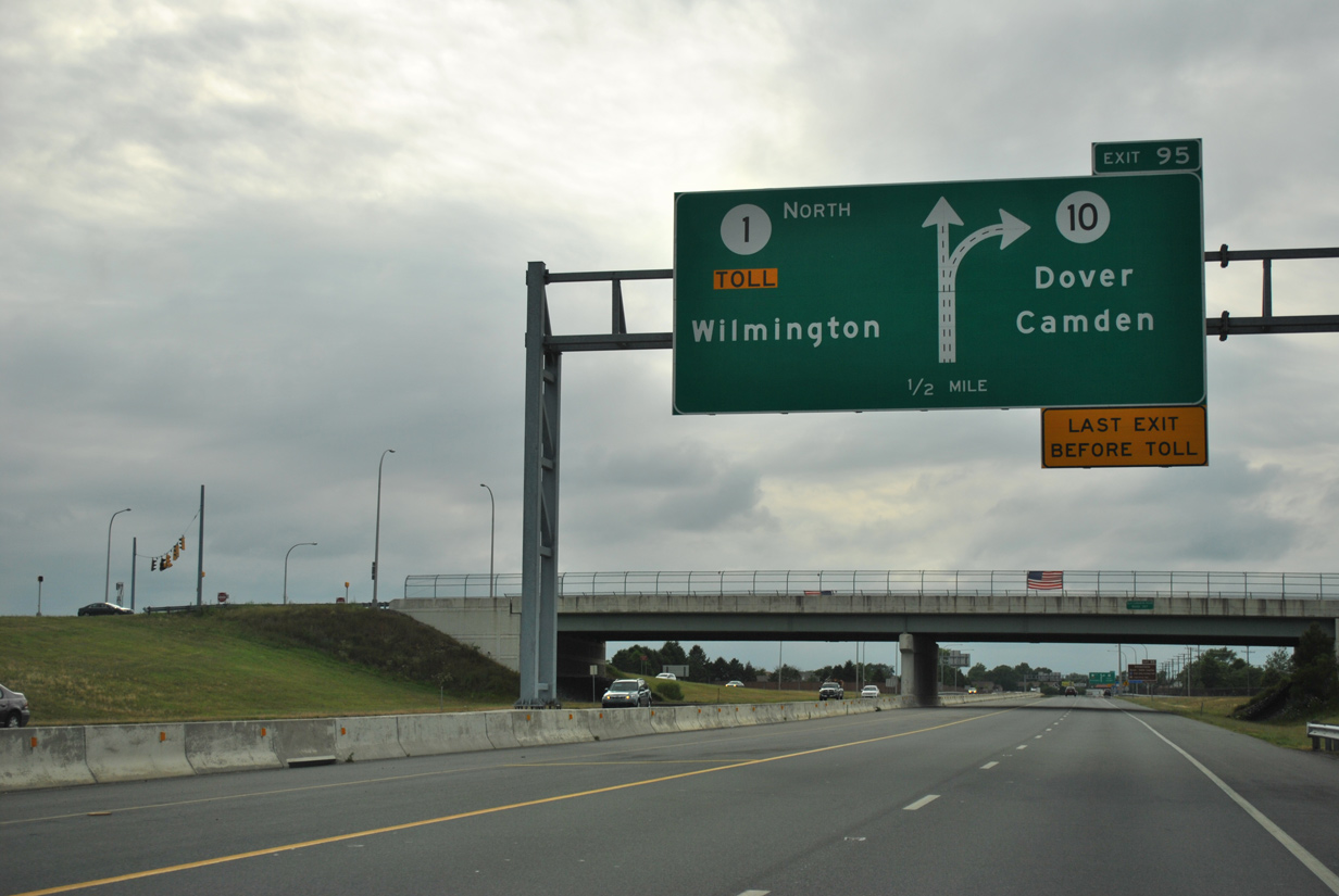
| The SR 1 toll road begins in two miles at the split with Bay Road (old U.S. 113) and SR 10 at Exit 95. The expressway provides a seamless link between south Dover and Interstate 95 at Churchmans Crossing. 06/18/12 |
|
| One half mile south of the commercial gate (Exit 92) to Dover A.F.B. on SR 1 (Bay Road) north. Accessible only from SR 1 northbound, the gate opened to traffic in March 2007. Southbound commercial trucks are directed to make a U-turn via the ramps with SR 9. 06/18/12 |
|
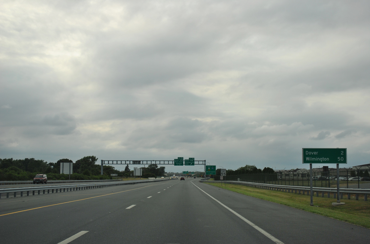
| A reassurance marker appears across from a materials plant, which is accessible from a RIRO intersection along southbound. Speed limits on this stretch of SR 1 increased to 60 miles per hour in January 2017. 06/18/12 |
|
| Bay Road extends northwest from the SR 1 toll road toward Downtown Dover in two miles. Wilmington is 50 miles away via SR 1 north to U.S. 13 north. 06/18/12 |
|
| A second sign advises motorists of the forthcoming transition of SR 1 to a toll road. The turnpike opened between south Dover and Smyrna on December 21, 1993. 06/18/12 |
|
| Exit 92 consists of a short set of ramps linking the northbound side of SR 1 with the commercial gate opposite Arnold Drive and 26th Street within Dover A.F.B. A diamond interchange (Exit 93) serves the Dover A.F.B. main gate (13th Street) one half mile to the north. 06/18/12 |
|
| Construction of the Dover A.F.B. main gate interchange was completed in 1998. Exit 93 replaced a signalized at-grade intersection linking SR 1 with Old Lebanon Road, the military housing area to the south and 13th Street to the north. 06/18/12 |
|
| Northbound SR 1 expands to three lanes to the separation with Bay Road (former U.S. 113) at Exit 95 for SR 10 (Lebanon Road) west. 06/18/12 |
|
| An auxiliary lane accompanies SR 1 north from the Main Gate entranec ramp to Exit 95. SR 10 travels 16.12 miles west from Bay Road to Wyoming, Camden and the Maryland state line west of Sandtown. 06/18/12 |
|
| Motorists bound for U.S. 13 are directed to use Exit 95 for the continuation of Bay Road north to the Puncheon Run Connector west for U.S. 13 south or remain along former U.S. 113 north directly to U.S. 13 north. 06/18/12 |
|
| A two lane off-ramp departs SR 1 for Bay Road north, SR 10 (Lebanon Road) west and the North Gate to Dover A.F.B. Bay Road extends another 2.3 miles to U.S. 13 east of Downtown Dover. The arterial was a part of U.S. 113 until 2004. 06/18/12 |
|
| SR 1 winds northeast to bypass Dover on the 15 miles leading to Smyrna. Wilmington is again referenced as 50 miles away. 06/18/12 |
|
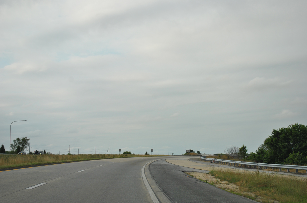
| A ramp stub remains at the former on-ramp from U.S. 113 (Bay Road) south onto SR 1 north. 06/18/12 |
|
| The SR 1 expressway is formally named the Korean War Veterans Memorial Highway. The tolled portion of SR 1 runs from the Bay Road underpass north to the William Roth Bridge at South St. Georges. 06/18/12 |
|
| The Puncheon Run Connector (Road 150A), a toll free spur of the SR 1 Turnpike to U.S. 13, ties into SR 1 north at a wye interchange (Exit 97 along southbound) ahead of this shield assembly. 06/18/12 |
|
| There are no exits along SR 1 northbound between SR 10 (Lebanon Road) and Exit 104 (Scarborough Road), a distance of 6.3 miles. The Dover main line plaza lies along this stretch. 06/18/12 |
|
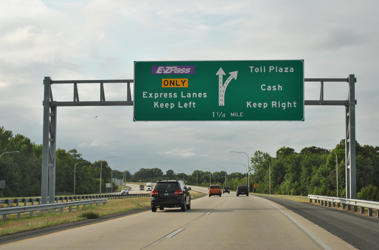
| Construction to add high speed E-ZPass lanes was completed along SR 1 at the Dover toll plaza on Memorial Day of 2004. The addition of open road tolling allows E-ZPass holders to pay tolls electronically via two inside lanes. 06/18/12 |
|
| A half diamond interchange joins SR 1 with SR 8 (Little Creek Road) on the east side of Dover. A reassurance marker follows the northbound on-ramp. 06/18/12 |
|
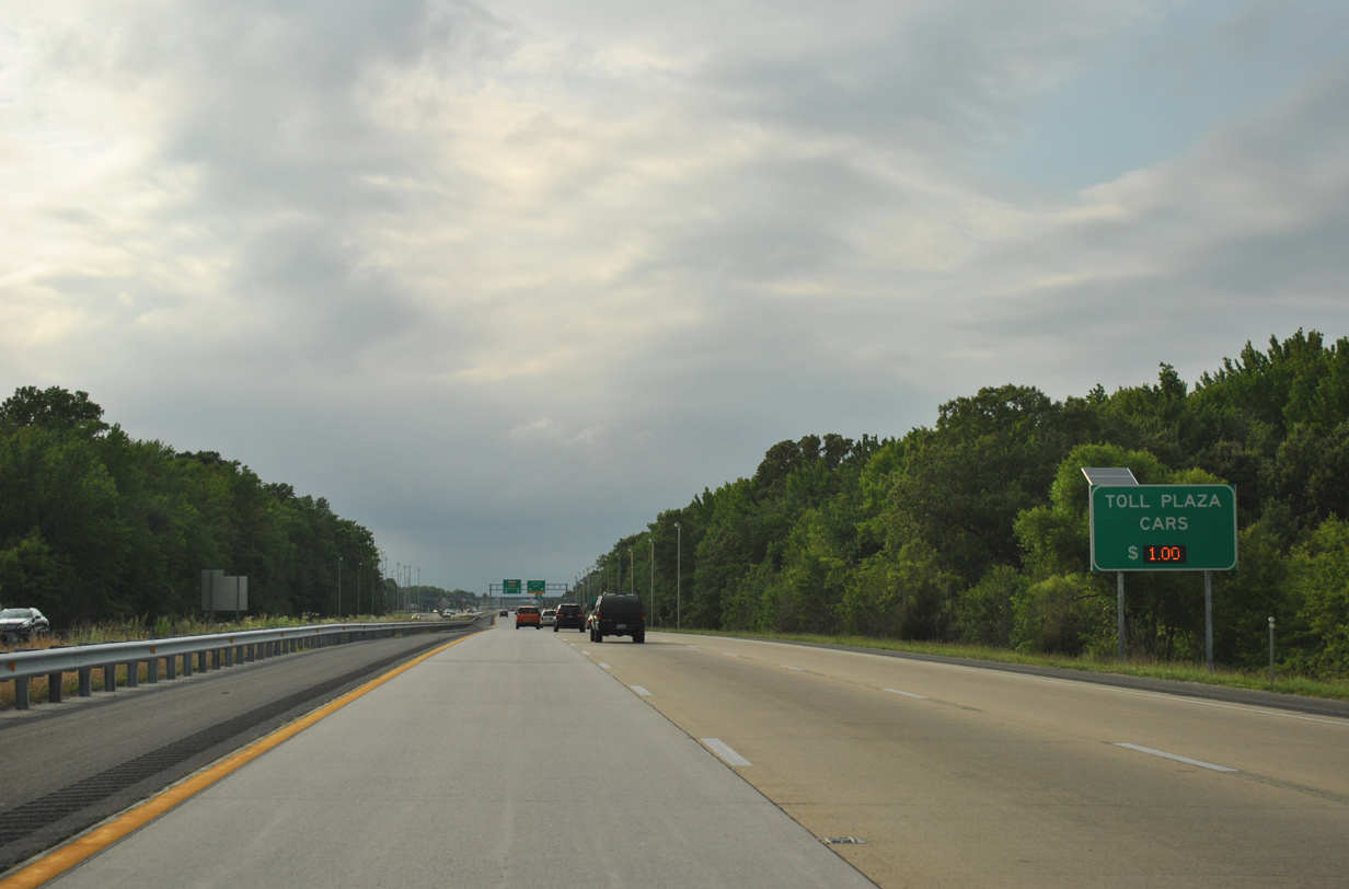
| White Oak Road spans SR 1 a half mile south of the Dover main line toll plaza. All drivers paying with cash must depart the mainline to the right. 06/18/12 |
|
| Toll rates for SR 1 vary. As of August 1, 2014, passenger vehicles are levied $1.00 at each main line plaza during weekdays and $3.00 on weekends. 06/18/12 |
|
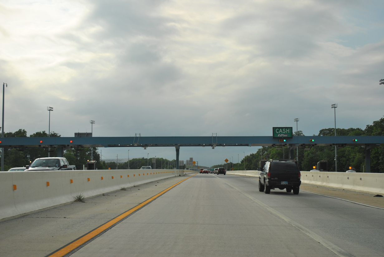
| The Dover main line toll plaza lies just east of Dover Motor Speedway. Motorists with E-ZPass can maintain highway speeds while cash paying drivers diverge to conventional tool booths along the outside lanes. 06/18/12 |
|
| Passing through the toll plaza along the AET (All Electronic Tolling) lanes. 06/18/12 |
|
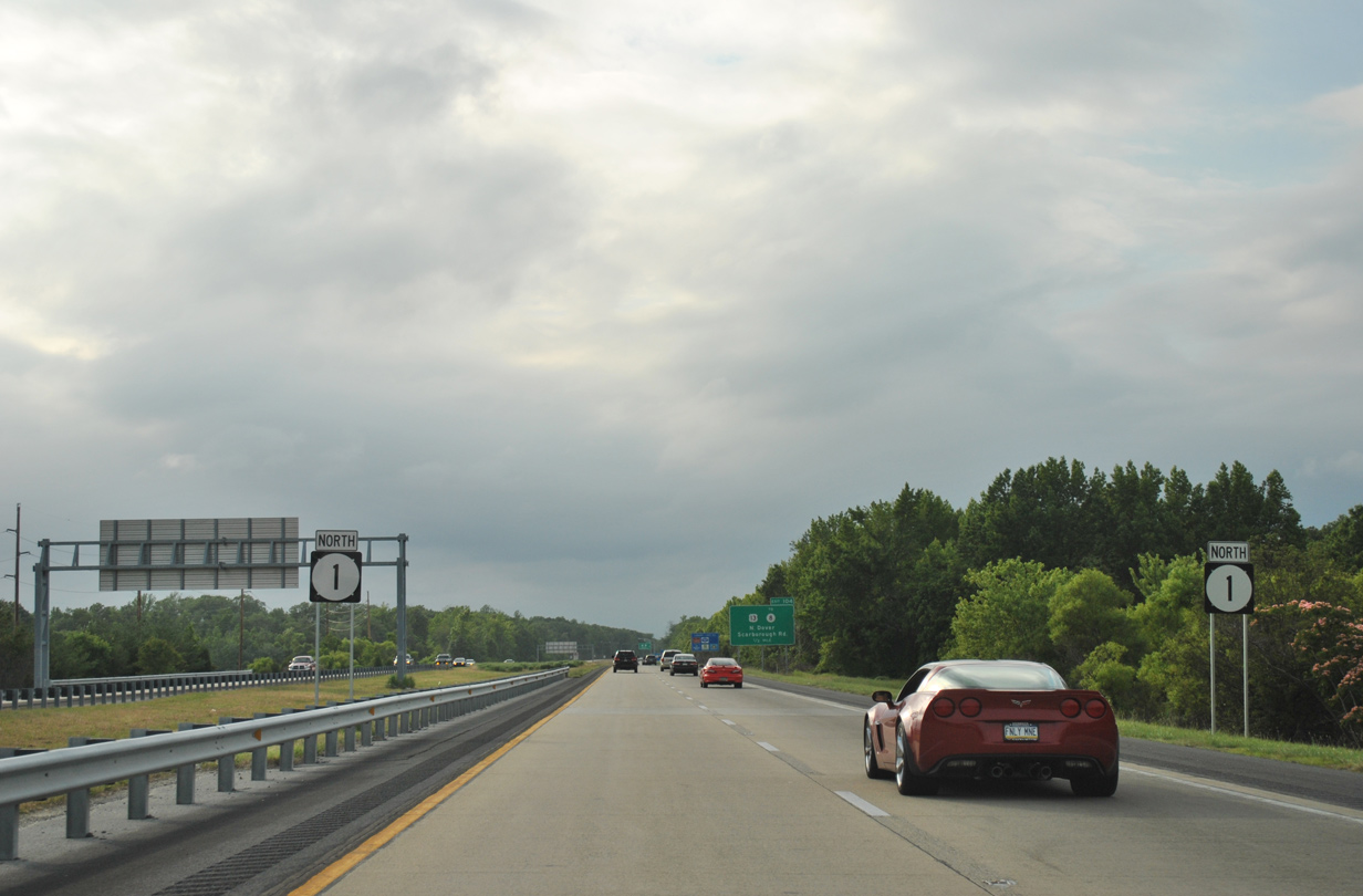
| Next in line for northbound travelers is the trumpet interchange (Exit 104) to U.S. 13 at Scarborough Road. Scarborough Road arcs southwest from Exit 104 to link SR 1 with SR 15 (McKee Road) south to SR 8 (Forrest Avenue) west of Downtown Dover. 06/18/12 |
|
| A pair of SR 1 reassurance markers stand along the northbound lanes beyond the Dover main line toll plaza. 06/18/12 |
|
| Forthcoming Exit 104 serves Delaware State University, which lies across from Dover Motor Speedway along U.S. 13 (Dupont Highway). 06/18/12 |
|
| Exit 104 leaves SR 1 north for U.S. 13 (Dupont Highway) at Scarborough Road (Road 294) west. 06/18/12 |
|
| U.S. 13 (Dupont Highway) remains parallel to the west of SR 1 from Dover north through Bishops Corner and Smyrna. 12/30/17 |
|
| Points of interest for the capital city at Exit 104 include the Delaware State Troopers Museum and State Police Troop, the Delaware Agricultural Museum, the Biggs Museum of American Art, Museum Square, the Public Archives and the State House Museum. 12/30/17 |
|
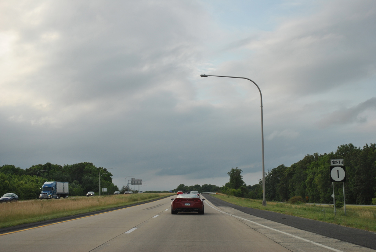
| Lewis Drive appears alongside SR 1 ahead of the Dyke Branch Road underpass. Numerous suburban neighborhoods front the toll road over the next several miles. 06/18/12 |
|
| SR 1 continues another nine miles north to Smyrna from Exit 104. The Smyrna bypass of the Turnpike opened December 18, 1993, three days before the Dover bypass section opened to traffic. 06/18/12 |
|
| Crossing the Leipsic River along SR 1 northbound. U.S. 13 spans the river just to the west by Garrisons Lake. 06/18/12 |
|
| Like Exit 104, Exit 114 consists of a trumpet interchange and access road west to parallel U.S. 13 (DuPont Highway). The upcoming exchange serves the city of Smyrna and the neighboring town of Clayton. U.S. 13 travels north into central Smyrna where it intersects SR 300 south and SR 6, two state routes that join Smyrna with Clayton and the state of Maryland. 06/18/12 |
|
| SR 1 passes over Big Oak Road one half mile south of Exit 114 to U.S. 13 (Dupont Highway). Points of interest referenced for Exit 114 include the Smyrna Opera House and Bombay Hook National Wildlife Refuge, located to the east along SR 9. 06/18/12 |
|
| Exit 114 leaves SR 1 north for South Smyrna. U.S. 13 constitutes the main commercial strip through Smyrna and a growing residential corridor southward to Dover. SR 6 continues east from Smyrna to SR 9 and Woodland Beach on Delaware Bay. SR 300 joins Smyrna with MD 300 and U.S. 301 west of Sudlersville. 06/18/12 |
|
| SR 1 encircles the east side of Smyrna from Exit 114 north to Duck Creek. 06/18/12 |
|
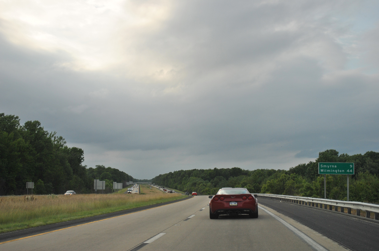
| Distance sign posted ahead of the Smyrna-Leipsic Road overpass along SR 1 northbound. The Delaware Memorial Bridge and Wilmington are consistently referenced on distance signs from Smyrna northward. 06/18/12 |
|
| Duck Creek represents the New Castle County line across SR 1 and through north Smyrna. The county boundary overlays the Smyrna River eastward to Delaware Bay south of Delaware Point. 06/18/12 |
|
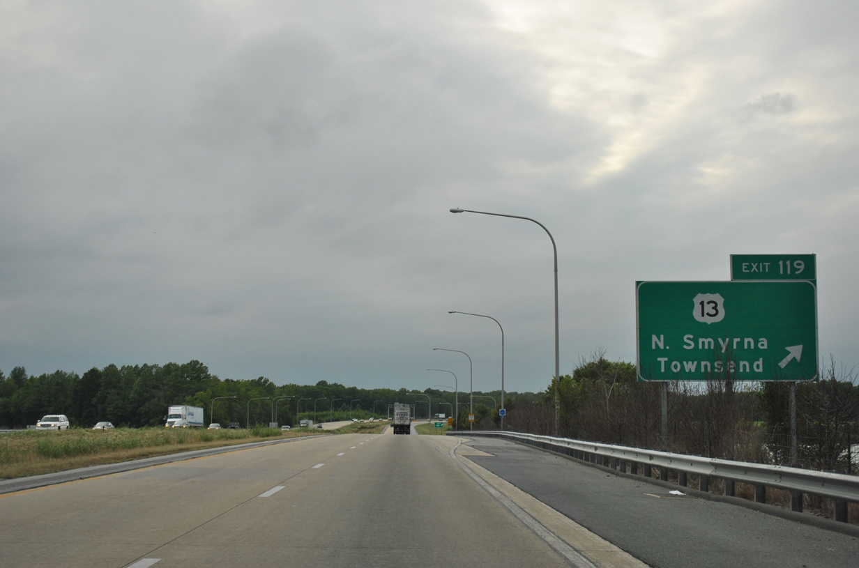
| U.S. 13 (Dupont Parkway) crosses paths with SR 1 for the first time at a parclo interchange (Exit 119) north of Smyrna. U.S. 13 remains rural northward from the county line toward Townsend. 06/18/12 |
|
| A rest area and tourist information center lies along the northbound side of U.S. 13 (Dupont Parkway) adjacent to Exit 119. There are no rest or service areas located directly along the SR 1 toll road. 06/18/12 |
|
| SR 1 passes over Paddock Road one half mile south of the loop ramp (Exit 119) for U.S. 13 (Dupont Parkway). U.S. 13 north to SR 71 (Summit Bridge Road) leads motorists to the small town of Townsend. 06/18/12 |
|
| Exit 119 departs SR 1 north to U.S. 13 (Dupont Parkway). U.S. 13 parallels SR 1 closely along the ensuing stretch north to Odessa. 06/18/12 |
Page Updated 02-01-2017.


 North
North