|
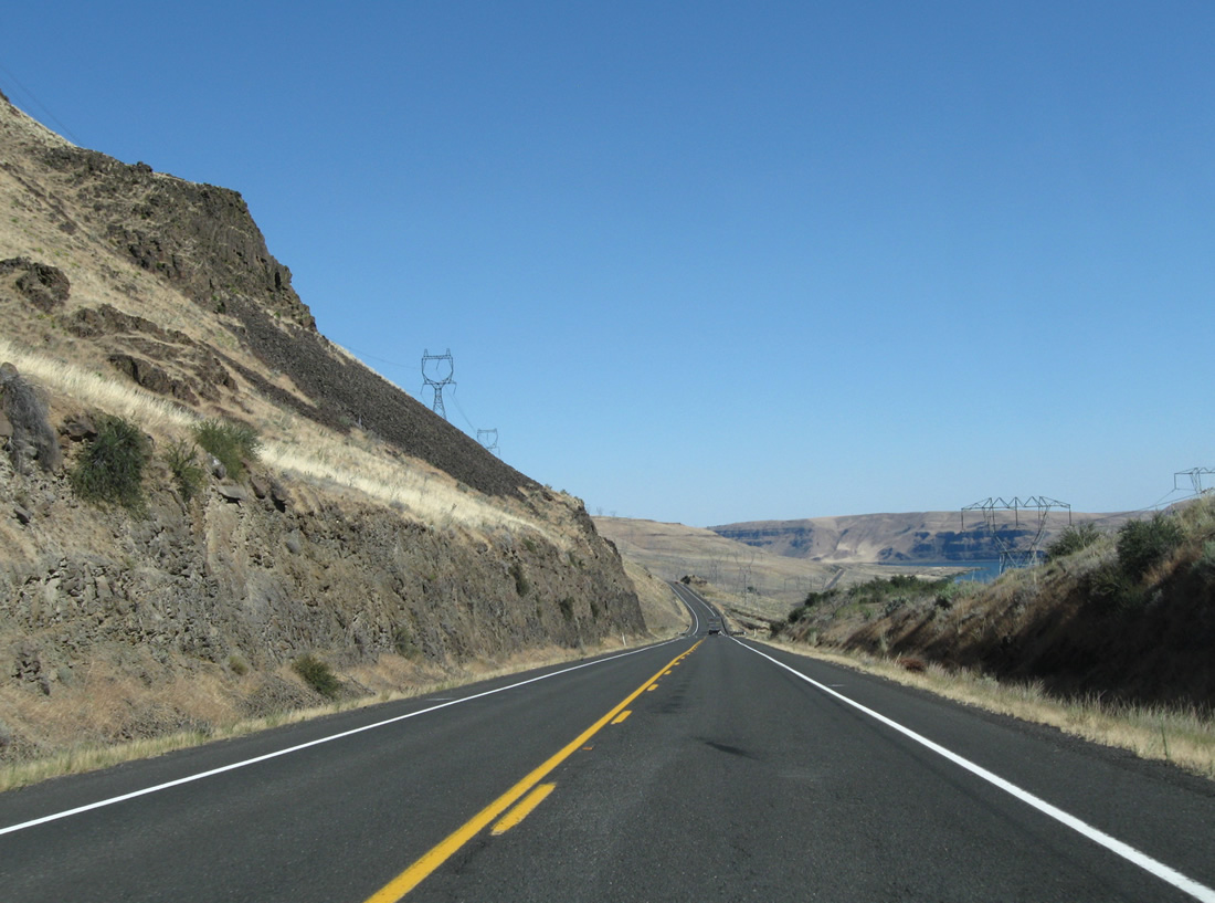
| SR 14 is the Lewis and Clark Highway, and a unique shield is posted below the route marker to signify this important historical corridor. Now traveling east of U.S. 97 and Maryhill in rural Klickitat County, SR 14 will follow the bluffs overlooking the north bank of the Columbia River, offering stellar views of the busy waterway below the highway. 08/03/11 |
|
| There is little development along the north bank of the Columbia River between Maryhill and Interstate 82 and U.S. 395 south of the Tri-Cities. In fact, the next available gas is 82 miles east of Maryhill. (But gas, food, and lodging are available in Biggs Junction at the interchange of U.S. 97 and Interstate 84 and U.S. 30.) 08/03/11 |
|
| This distance sign provides the distance to SR 221 (65 miles), Junction Interstate 82 and U.S. 395 (80 miles), and Kennewick (100 miles). 08/03/11 |
|
| An attraction located off SR 14 is the Maryhill Stonehenge, which is a full-size replica of the famous, prehistoric Stonehenge in England. 08/03/11 |
|
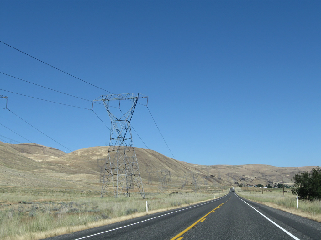
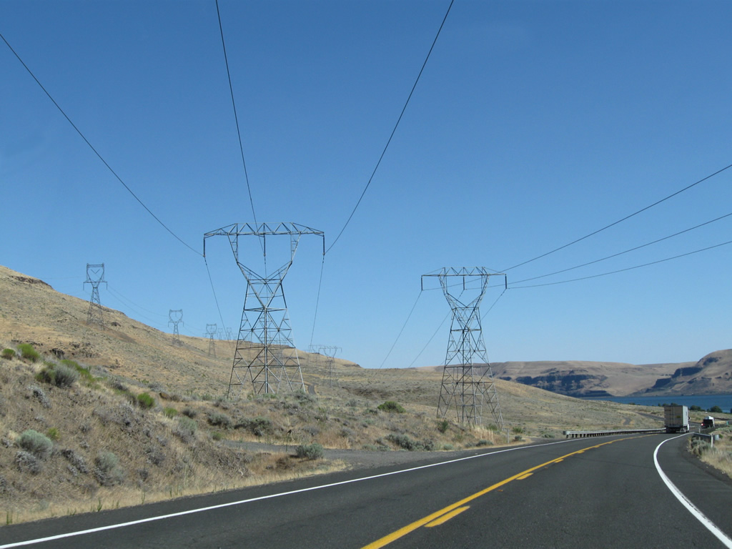
| One common sight along SR 14 will be power lines. With the power of the Columbia River and its massive water flow, hydroelectric power generation is one of the key sources of electricity in the Pacific Northwest. These lines feed from various dams located along the river, and they interconnect with the Western power grid. 08/03/11 |
|
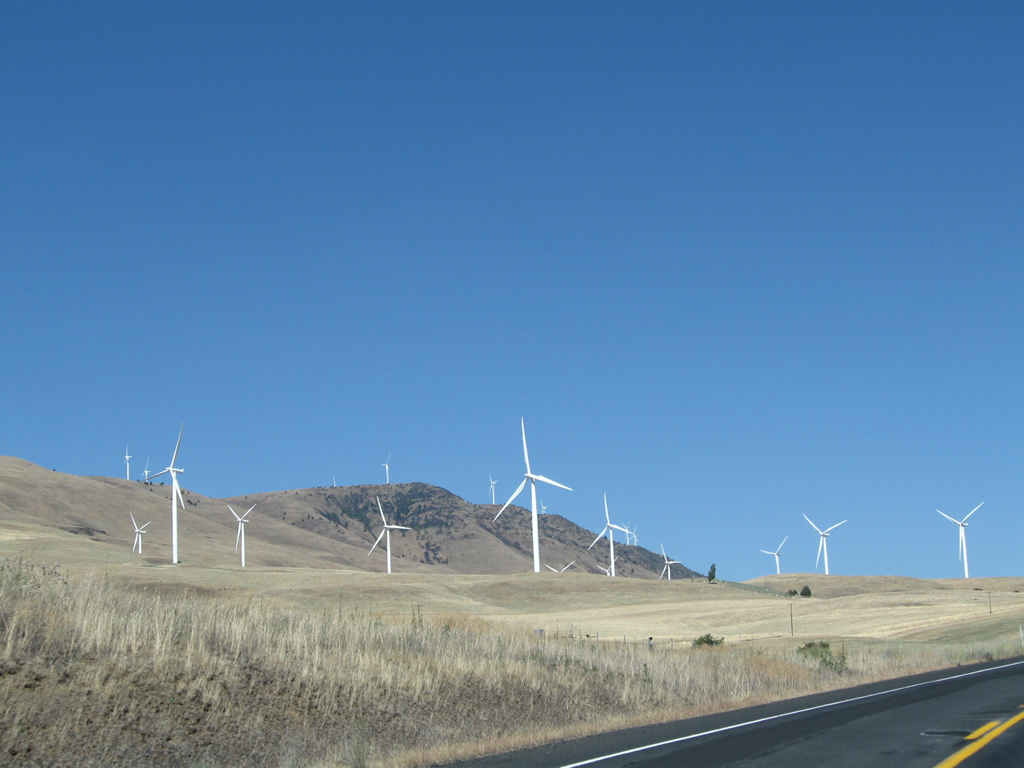
| An up and coming power source is wind, which is harnessed by massive turbines such as these, with long, graceful propellers that turn in the wind as it howls through the Columbia River Valley. Power generated by these turbines is transmitted along the same power lines that interconnect the hydroelectric facilities. 08/03/11 |
|
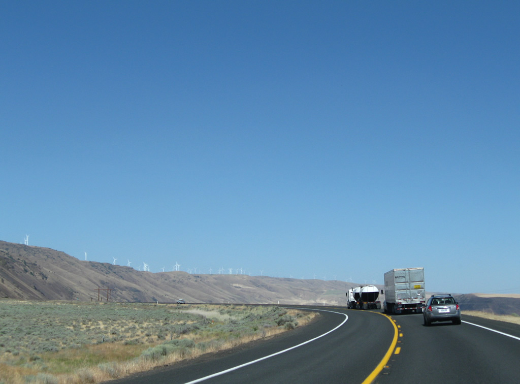
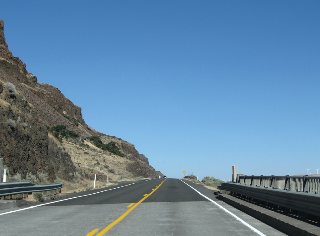
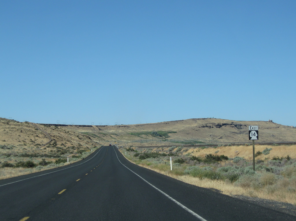
| As SR 14 is a two lane highway, delays can result from slower moving traffic. 08/03/11 |
|
| The Columbia River snakes in and out of view from SR 14 as we proceed east. 08/03/11 |
|
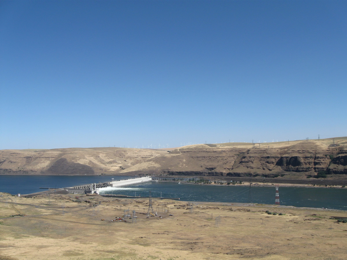
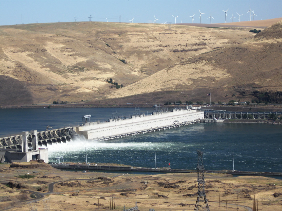
| A turnout ahead allows motorists to pull off the highway to see the John Day Dam and Columbia River. 08/03/11 |
|
| The John Day Dam impounds water along the Columbia River. The reservoir behind John Day Dam is known as Lake Umatilla, which extends over 76 miles east of here, all the way to McNary Dam. Like its brethren both upstream and downstream, the John Day Dam produces a vast amount of electricity. It was completed by 1971. 08/03/11 |
|
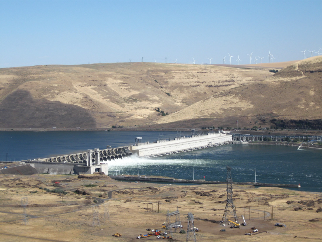
| The turnout also offers this view looking upstream (east) toward Lake Umatilla and the Columbia River. 08/03/11 |
|
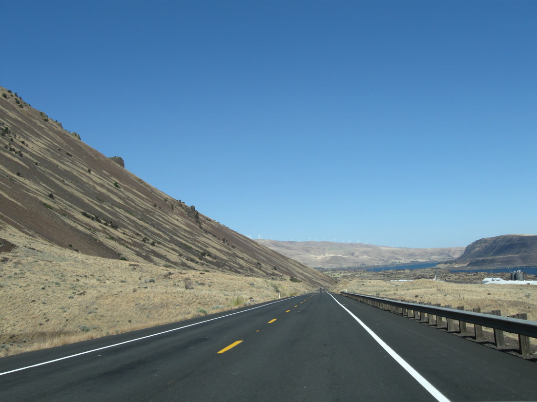
| This series of pictures follows SR 14 east as it descends from the John Day Dam overlook near Mileposts 107 and 108. 08/03/11 |
|
| The next right connects SR 14 to the John Day Dam. Continue straight ahead to continue east toward the Tri-Cities. 08/03/11 |
|
| Wind turbines line the top of the ridge above the Columbia River Valley. 08/03/11 |
|
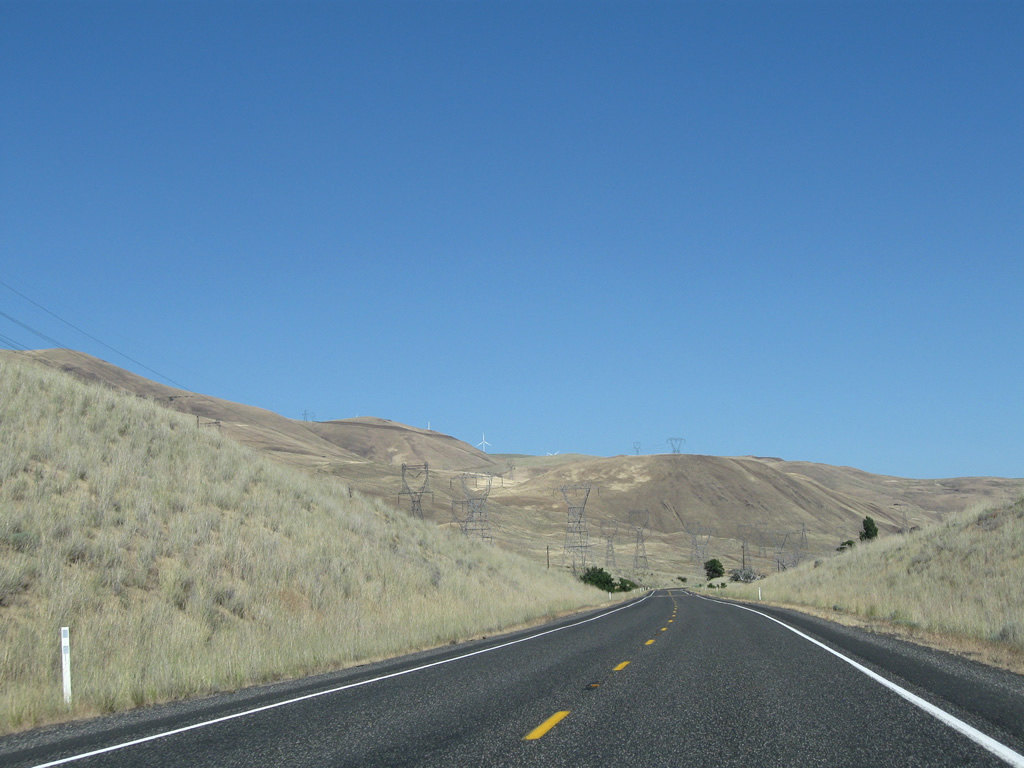
| Near Milepost 111, eastbound SR 14 passes under another group of power lines, some charged to as high as 500kV. These power lines connect the substation near John Day Dam with another substation located near McNary Dam. A reassurance shield for the state highway is posted under the lines. 08/03/11 |
|
| SR 14 proceeds east on a path parallel to the river, staying on the bottom of the valley. The aforementioned power lines will also follow the river and highway as we travel upstream. 08/03/11 |
|
| Continuing east, SR 14 passes through mostly rural terrain with occasional development along the way. 08/03/11 |
|
| The Columbia River occasionally comes into view as we proceed east along the rural state highway. We are now near Milepost 115. 08/03/11 |
|
| Views of water from the river contrast with the arid, dry grasslands that dominate this section of the Columbia River valley. The power lines climb uphill to avoid the narrow north bank. 08/03/11 |
|
| Volcanic rock comes downhill from the northern valley wall, along with some peculiar rock formations. The railroad also comes into view alongside the state highway and will also parallel us as SR 14 proceeds east. These views are located near Milepost 121. 08/03/11 |
|
| Another SR 14 east route marker is posted soon thereafter. The Lewis and Clark Trail is a national historic trail that extends from Illinois west to the mouth of the Columbia River near Astoria, Oregon. Covering over 3,700 miles, the Trail incorporates the route of Meriwether Lewis and William Clark as they explored across the United States in the territorial days, with notable westward excursions in 1804 and 1806. 08/03/11 |
|
| SR 14 proceeds east through more volcanic rock alongside Lake Umatilla as it parallels the north bank of the Columbia River. 08/03/11 |
|
| Eastbound SR 14 approaches the turnoff to Sundale Park, then climbs again toward Milepost 130. 08/03/11 |
|
| Coming down from the ridge, the power lines again come close to the SR 14 corridor. After a long, straight stretch of open road, SR 14 approaches the community of Roosevelt, where the power lines again divert to the north. A small park is located off the main highway in Roosevelt; however, there are no motorist services (gas) in town. 08/03/11 |
|
| Coming out of Roosevelt, this SR 14 route marker points the way for the continuation of the route traveling east. 08/03/11 |
|
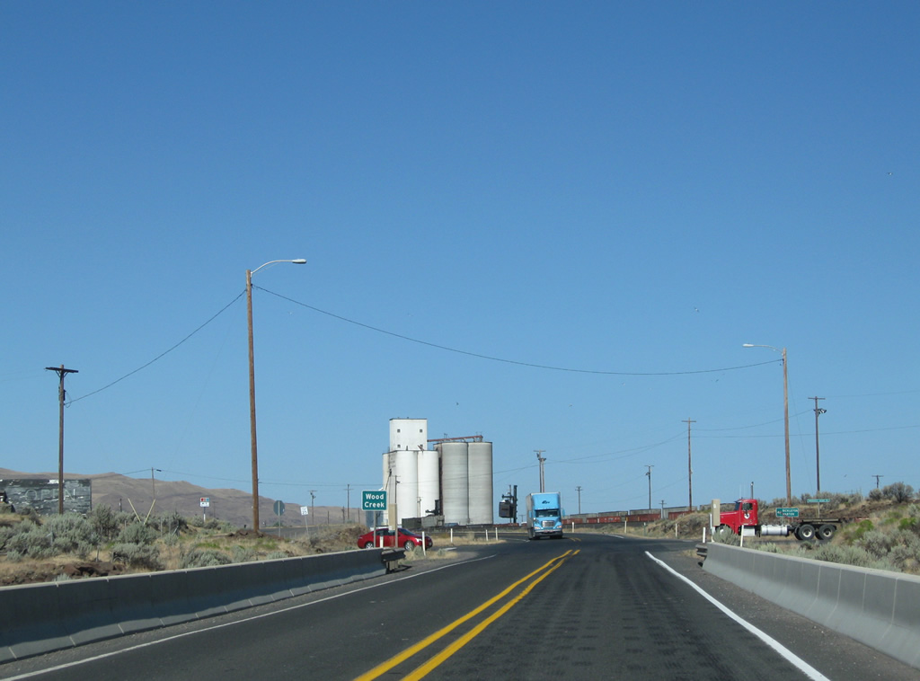
| SR 14 crosses over Wood Creek, which feeds into the Columbia River. 08/03/11 |
|
| At the time this picture was taken, machinery was transferring boxcars on and off the train adjacent to the storage units that tower above the highway and railroad. 08/03/11 |
|
| Sometimes the expanse of the Columbia River (Lake Umatilla) is so wide that it is difficult to see the southern bank of the river. This is near Milepost 137. 08/03/11 |
|
| A Burlington Northern Santa Fe (BNSF) freight train comes into view as we proceed east and it punches its way west. The railroad separates SR 14 from the river. 08/03/11 |
|
| Another SR 14 route marker/reassurance shield is posted shortly thereafter (near Milepost 144). 08/03/11 |
|
| Proceeding east along SR 14, the views remain about the same (more railroad, river, volcanic rocks, arid steppes, and highway), but they are still quite stellar, even if repetitive. There is no other highway we've driven that is quite like this! 08/03/11 |
|
| Alderdale Road leads north from SR 14 and straddles Alder Creek northward between Alder Ridge and Golgotha Butte to Alderdale. Long distance travelers bound for the Yakima Valley community of Mabton can use Alderdale Road northward to Glade Road in Yakima County. 08/03/11 |
|
| Continuing east along the south side of Golgotha Butte to milepost 150 on SR 14 east. 08/03/11 |
|
| Crow Butte rises to form an island in Lake Umatilla of the Columbia River. The peak is home to Crow Butte State Park, which is accessible from SR 14 from the Butte Road causeway. 08/03/11 |
|
| Just before the Klickitat-Benton County Line is this SR 14 reassurance shield. 08/03/11 |
|
| Eastbound SR 14 enters Benton County, which is located on the north/west bank of the Columbia River as the river curves north toward the Tri-Cities. The seat of Benton County is Prosser, but its largest city is Kennewick (part of the Tri-Cities, which also includes Richland and Pasco). SR 14 will carry us as far east as Interstate 82; the remaining route to the Tri-Cities is afforded via Interstate 82 west and U.S. 395 north. 08/03/11 |
|
| Sure enough, another SR 14 reassurance route marker is posted after the county line. 08/03/11 |
|
| Although arid, the south-central region of Washington state is a known agricultural area famous for its wines. Signs such as this one point the way to nearby tasting rooms and wineries. 08/03/11 |
|
| Near Sonova Road at Milepost 155, a towering power line crosses over SR 14, carrying electricity across the Columbia River. Butte Road stems east from Sonova Road nearby and passes under SR 14 at Dead Canyon onto the causeway to Crow Butte. 08/03/11 |
|
| Eastbound SR 14 approaches the right turn to Whitcomb Island Road. Whitcomb Island is primarily agricultural, with marshlands separating it from the Canoe Ridge hillside along SR 14. 08/03/11 |
|
| And shortly thereafter is the turnoff to Mainline Road, a private drive leading to the Columbia River west of Glade Creek. 08/03/11 |
|
| This nice view looks east along SR 14 near Glade Creek, which is several miles west of the SR 221 intersection. 08/03/11 |
|
| We are not terribly far away from the Hanford Site, which is located north of the Tri-Cities and includes a nuclear reactor. It is possible that this siren assembly is designed to warn of accidental discharge at that facility. Another possibility for the siren is in the event a dam fails or if floodwaters will inundate the roadway. Inclement weather could also require the use of such an alarm system. 08/03/11 |
|
| Approaching the small community of Paterson, eastbound SR 14 approaches the intersection with SR 221. This important north-south state highway travels from Paterson north to Prosser on the Interstate 82 and U.S. 12 corridor. 08/03/11 |
|
| SR 14 enters Paterson. No motorist services are available here. 08/03/11 |
|
| Eastbound SR 14 meets SR 221 north at this intersection in Paterson. This is the southern terminus of SR 221. 08/03/11 |
|
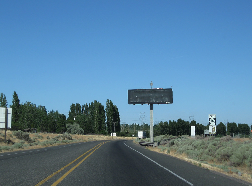
| A variable (changeable) message sign and SR 14 east reassurance shield are posted after the SR 221 intersection. 08/03/11 |
|
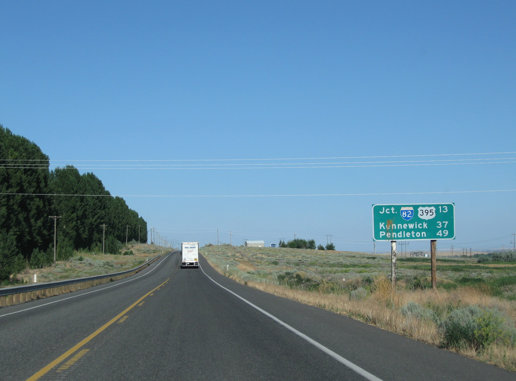
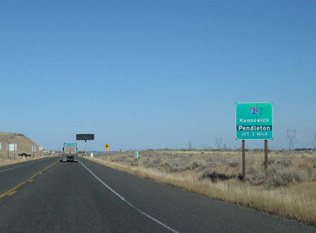
| A distance sign provides the distance to the junction with Interstate 82 and U.S. 395 (12 miles), Kennewick (37 miles via U.S. 395 north), and Pendleton (49 miles via U.S. 395 south). 08/03/11 |
|
| The power lines that have paralleled SR 14 for the past 70 miles cross overhead once again. 08/03/11 |
|
| Crops and agricultural uses begin to appear more frequently as we continue east. 08/03/11 |
|
| Near Milepost 179 is a weigh station for commercial vehicles. 08/03/11 |
|
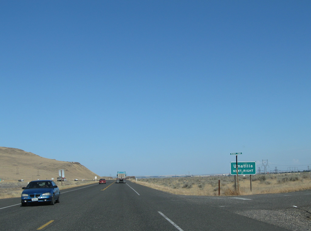
| The final major, independent intersection along SR 14 east is the connection to the small community of Plymouth. After that is the interchange with U.S. 395 and Interstate 82. 08/03/11 |
|
| Use Interstate 82 east/U.S. 395 south to Umatilla and Pendleton or Interstate 82 west and U.S. 395 north to the Tri-Cities. 08/03/11 |
|
| An auxiliary sign advises using Interstate 82 east and U.S. 395 south to Umatilla. While Interstate 82 is signed east-west, it actually travels north-south between Umatilla and the Tri-Cities. Its southern terminus is only a short distance south of here, at Interstate 84 and U.S. 30. If you want to see the highest-numbered U.S. highway still active, follow Interstate 82 east into Oregon, then exit onto U.S. 730. 08/03/11 |
|
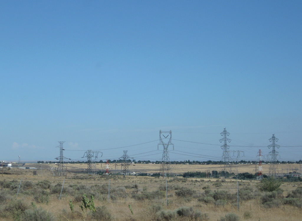
| The power lines that have followed us from the John Day Dam substation turn toward the McNary Dam substation. Several lines will cross south over the Columbia River at this point. 08/03/11 |
|
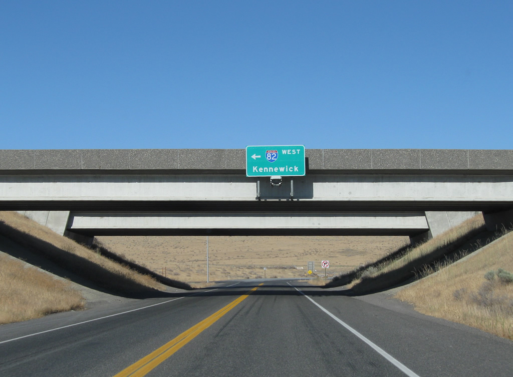
| Reaching Interstate 82, turn right here for Interstate 82 east and U.S. 395 south to Umatilla and Pendleton. Pass under the freeway bridge to left for Interstate 82 west and U.S. 395 north to the Tri-Cities (Kennewick, Pasco, and Richland). 08/03/11 |
|
| Eastbound SR 14 reaches its conclusion at the Interstate 82 interchange. Turn left ahead for Interstate 82 west and U.S. 395 north to the Tri-Cities (Kennewick, Pasco, and Richland). 08/03/11 |
|
| After passing under Interstate 82, the state highway ceases, although no END shield is posted. Through traffic should turn left for Interstate 82 west and U.S. 395 north. Continue straight ahead to McNary Dam. 08/03/11 |
Page Updated 10-28-2011.


 East
East