|
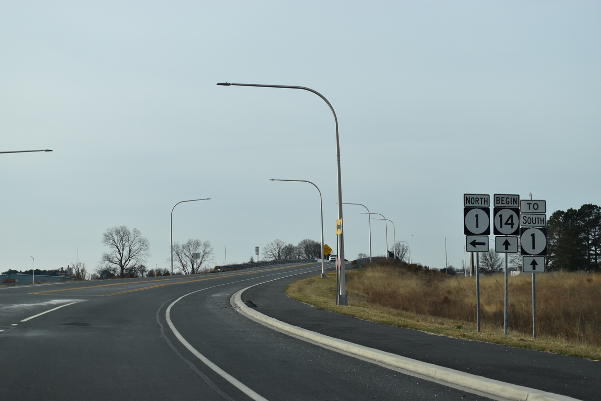
| New Wharf Road (Rd 409) enters the parclo A2 interchange joining SR 14 with SR 1 (Milford Bypass) from the Woods Haven community. 12/19/20 |
|
| The grade separated intersection with SR 1 (Milford Bypass) was constructed in 2017-19. A begin shield was added for SR 14 west at the northbound entrance ramp to SR 1. 12/19/20 |
|
| The loop ramp for SR 1 south to Lewes connects with Sillicato Parkway, a service road linking with NE 10th Street to the north. 12/19/20 |
|
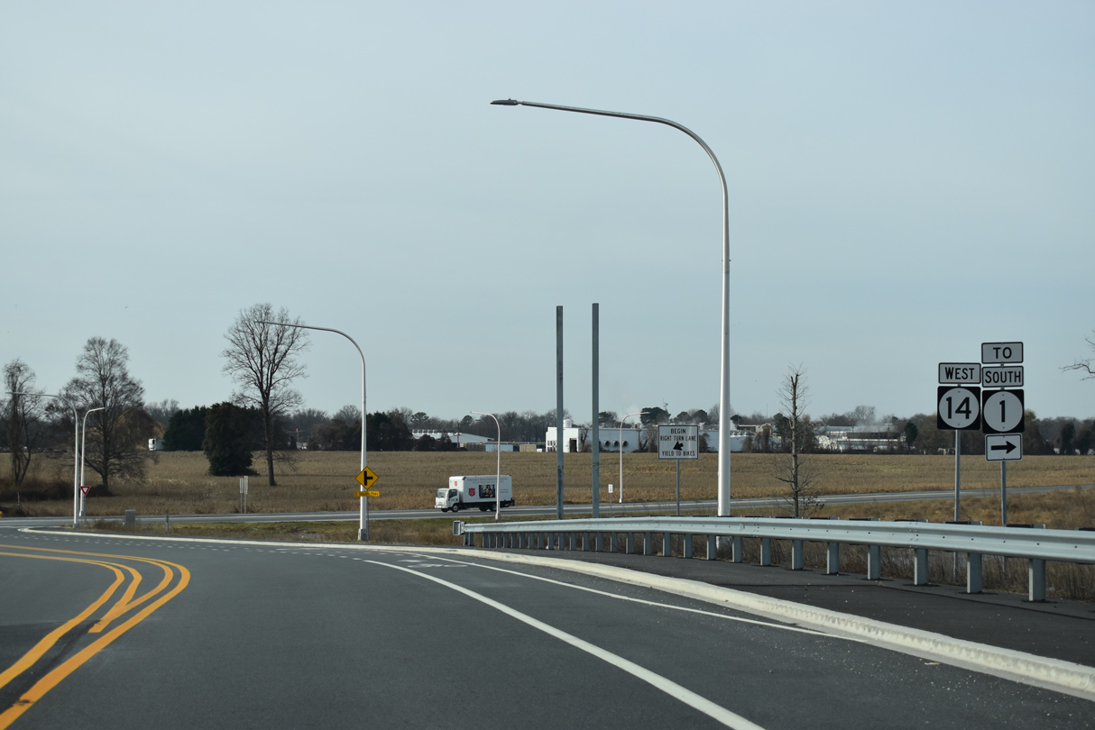
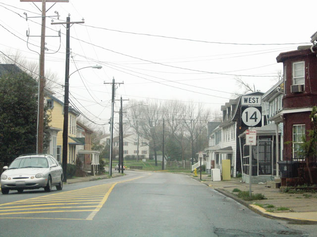
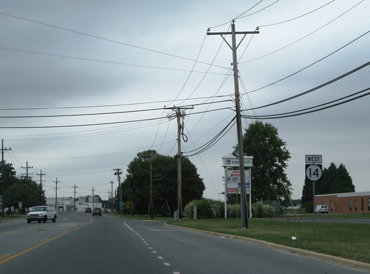
| The first confirming marker for SR 14 west stands along the rural stretch of NE Front Street between SR 1 and Bowens Landing Road in Milford. 12/19/20 |
|
| SR 14 (NE Front Street) west of SR 1 before construction of the exchange with the Milford Bypass. 04/13/04 |
|
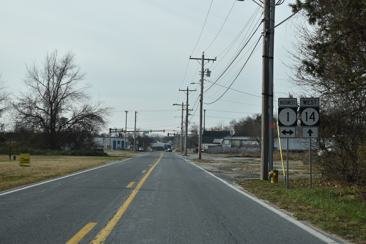
| SR 14 (NE Front Street) meets SR 1 Business (Rehoboth Boulevard) 0.6 miles southwest from SR 1 in Milford. 12/19/20 |
|
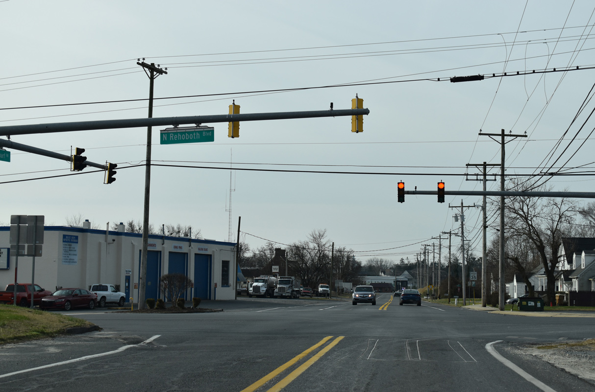
| SR 1 Business crosses the Mispillion River south into the Sussex County nearby and runs 0.81 miles northwest to Walnut Street (Rd 20). 12/19/20 |
|
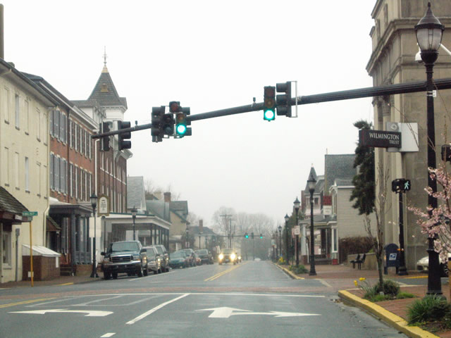
| Back to back traffic lights operate along SR 14 (NE Front Street) west at Washington and Walnut Streets at Downtown Milford. Decorative street light and signal mast arm assemblies used along NE Front Street are similar to those found in Elsmere and Wilmington. 04/13/04 |
|
| Walnut Street branches south from U.S. 113 (Dupont Boulevard) as SR 1 Business to Rehoboth Boulevard. The street predates U.S. 113 as the main north-south route through Milford and Lincoln. 04/13/04 |
|
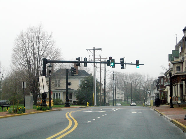
| Church Street intersects SR 14 at the subsequent signal west of Downtown Milford. The street crosses the Mispillion River south to intersect SR 36 (Causey Avenue). 04/13/04 |
|
| A reassurance marker for SR 14 west at Church Street was removed by 2012. Several of the adjacent houses were demolished by that time as well. 04/13/04 |
|
| NW Front Street curves northwest by Silver Lake and next approaches U.S. 113 by The Plaza at Milford shopping center. 04/13/04 |
|
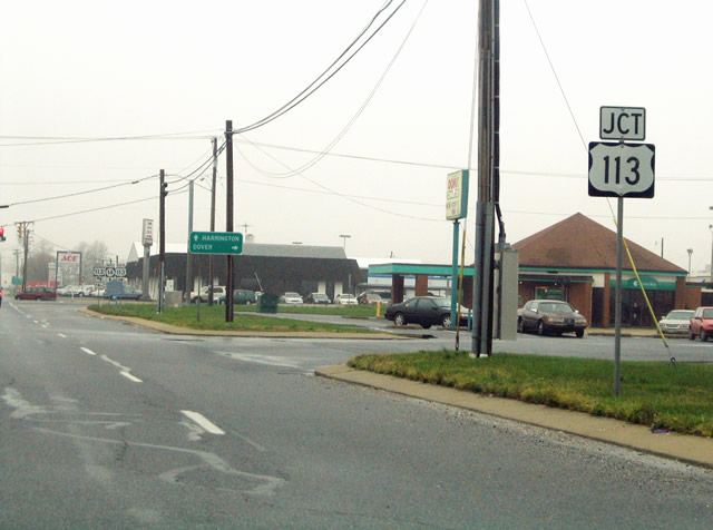
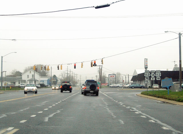
| U.S. 113 and SR 14 come together at the south end of a commercial strip running along Dupont Boulevard to SR 1 (Milford Bypass). U.S. 113 formerly ran north to Dover, but was truncated to north Milford in 2004. The route south extends to Pocomoke City, Maryland. 04/13/04 |
|
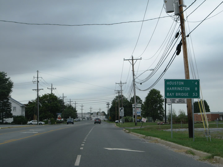
| The small town of Houston lies four miles west of Milford via connecting roads, while SR 14 leads directly to Harrington in eight miles. The Chesapeake Bay Bridge (U.S. 50/301) is 53 miles away via MD 317, MD 313 and MD 404. 08/05/07 |
|
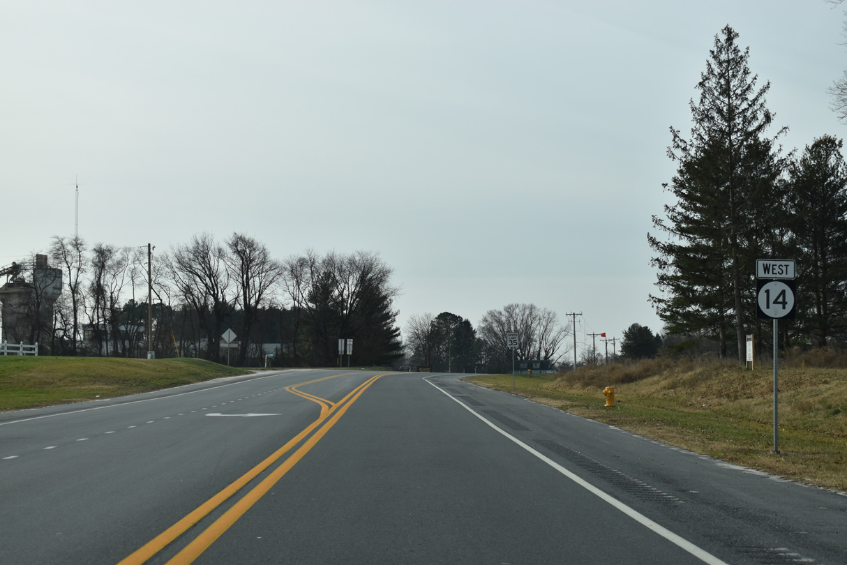
| SR 14 transitions to Milford Harrington Highway west of U.S. 113. 08/05/07 |
|
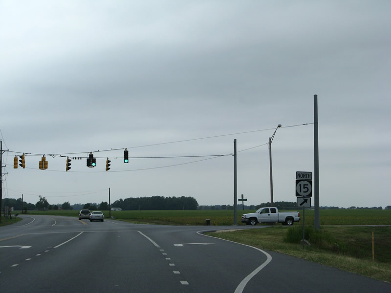
| Advancing northwest, SR 14 (Milford Harrington Highway) intersects the south end of SR 15 (Canterbury Road) at Holly Hill Road. 08/05/07 |
|
| SR 15 ventures ten miles northwest to the community of Canterbury and 12 miles to the town of Woodside. Overall SR 15 measures 57 miles in length to western New Castle County. 08/05/07 |
|
| Annexations push the Milford city limits westward along SR 14 toward Church Hill Village. 08/05/07 |
Page Updated 02-26-2021.


 West
West