|
| MD 392 (Finchville Reliance Road) east transitions to SR 20 (Stein Highway) at Line Road and the state border. 01/15/17 |
|
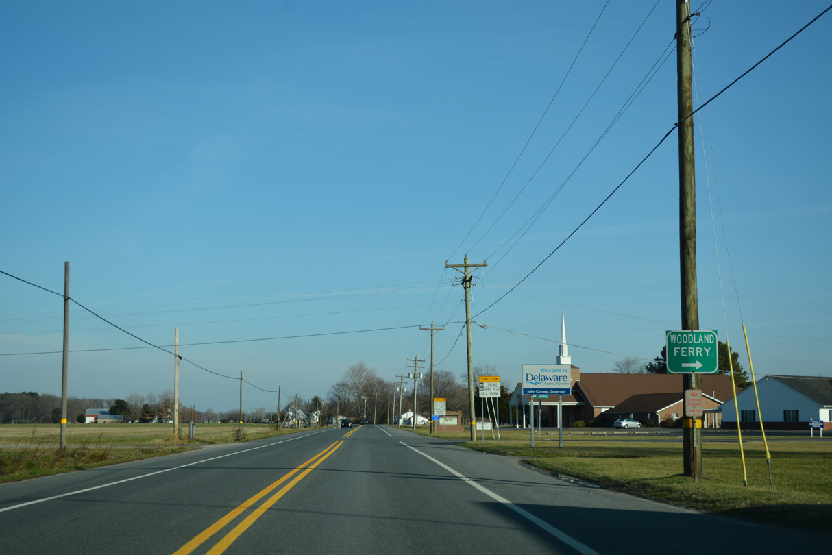
| SR 20 (Stein Highway) passes through Reliance as Woodland Ferry Road branches southeast from the rural community to the Woodland Ferry across the Nanticoke River. 01/15/17 |
|
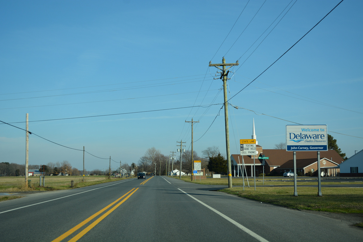
| A welcome sign greets eastbound motorists originating from Federalsburg, Hurlock and other points within the Maryland Eastern Shore. 01/15/17 |
|
| The first confirming shield for SR 20 stands after Woodlane Ferry Road in Reliance. 01/15/17 |
|
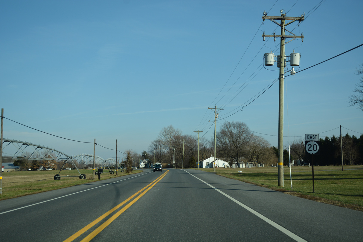
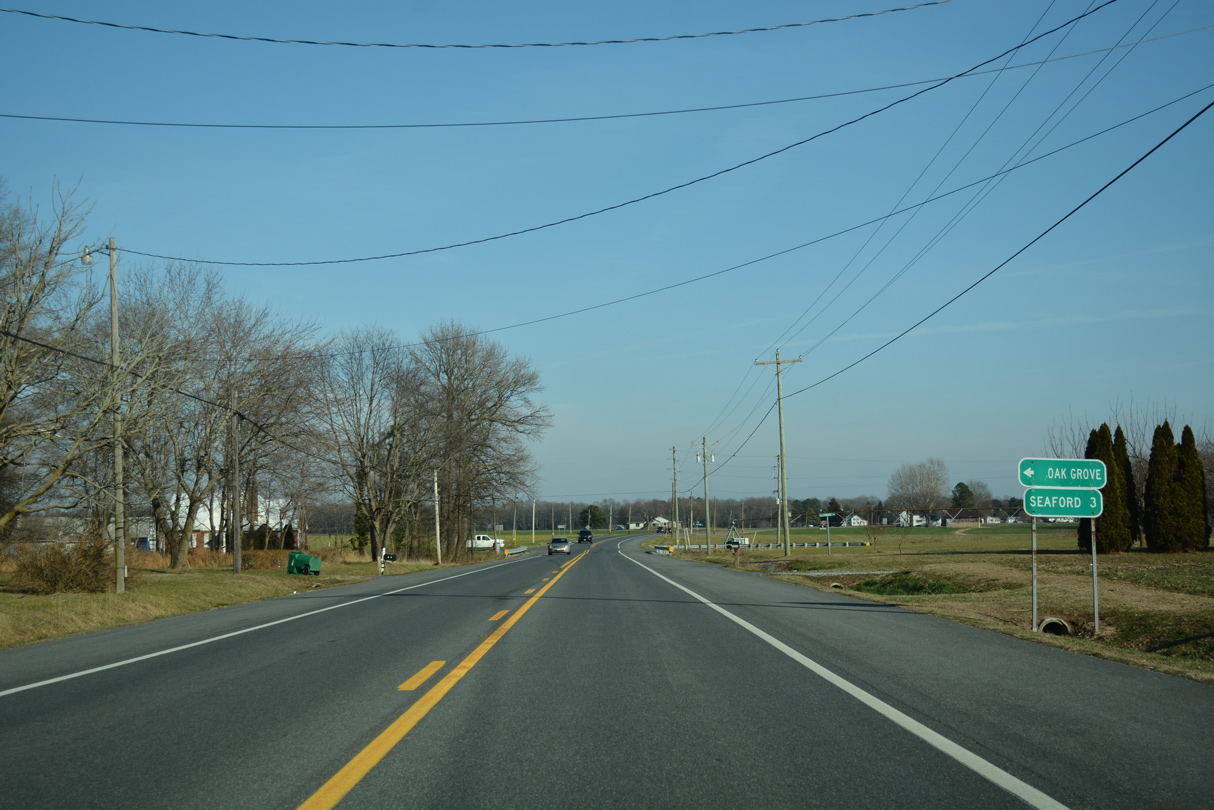
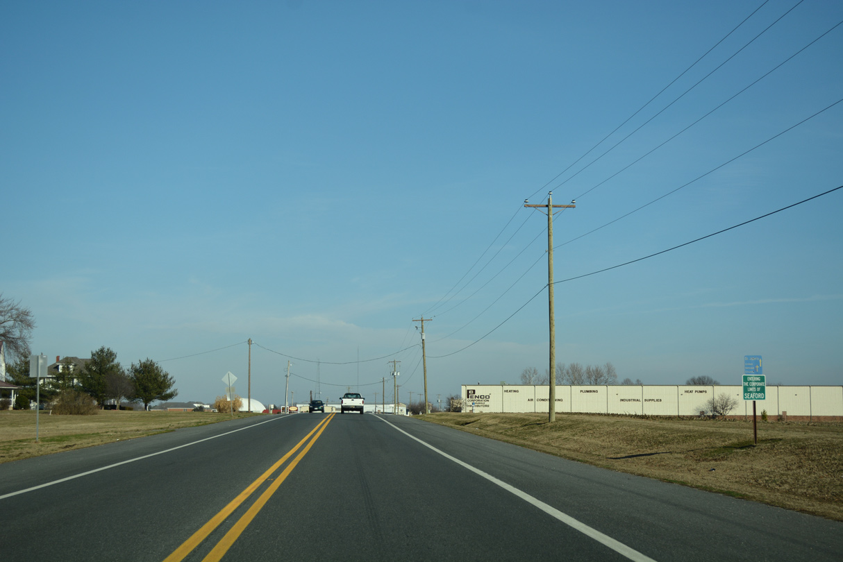
| Continuing east to within three miles of Seaford, SR 20 intersects Oak Grove Road south from the Oak Grove community. 01/15/17 |
|
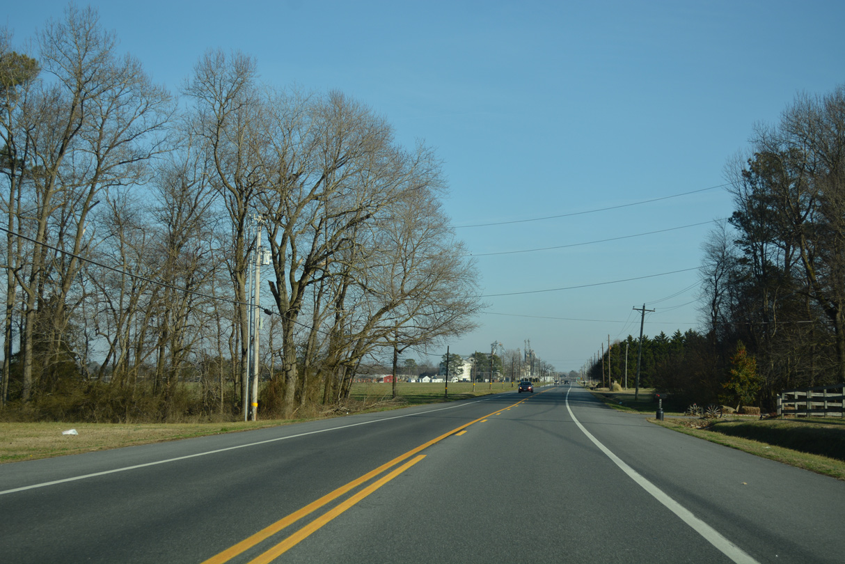
| Rural scenery along SR 20 (Stein Highway) east from Branchview and Shufelt Road. 01/15/17 |
|
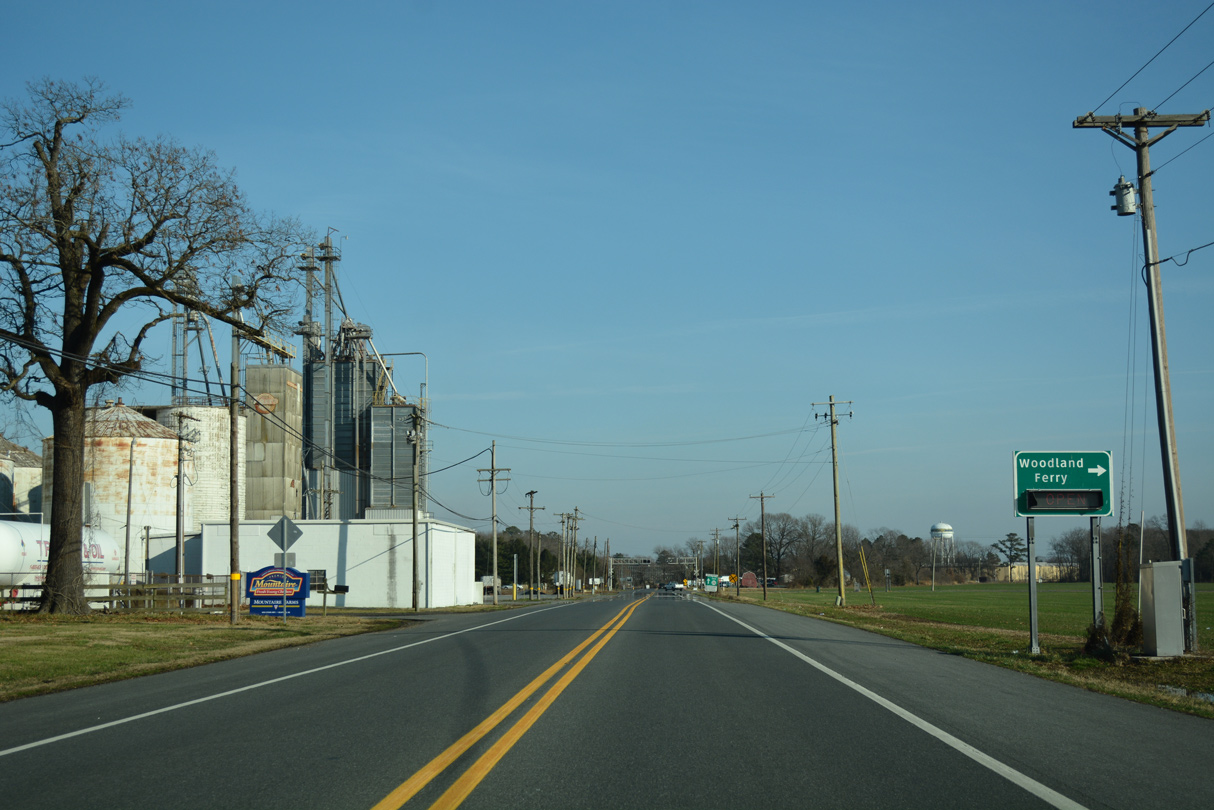
| Woodpecker Road angles northeast from the Maryland state line and Woodland Ferry Road to end at Stein Highway by a Mountaire Farms plant. 01/15/17 |
|
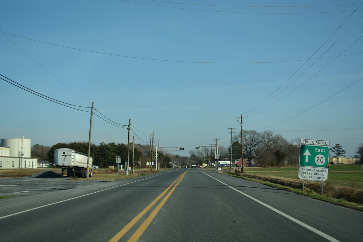
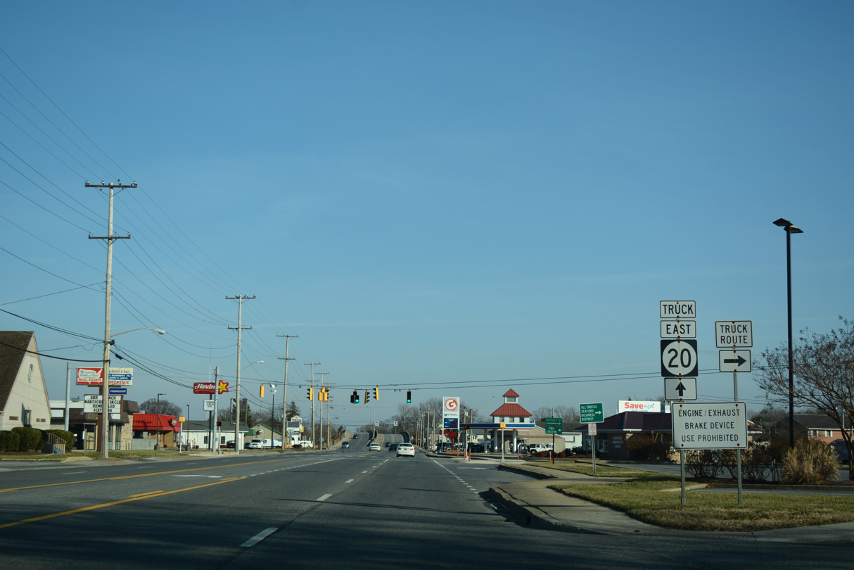
| SR 20 east to U.S. 13 doubles as the primary truck route through Seaford. Signs alternate, referring to SR 20 as both the mainline and with Truck banners. 01/15/17 |
|
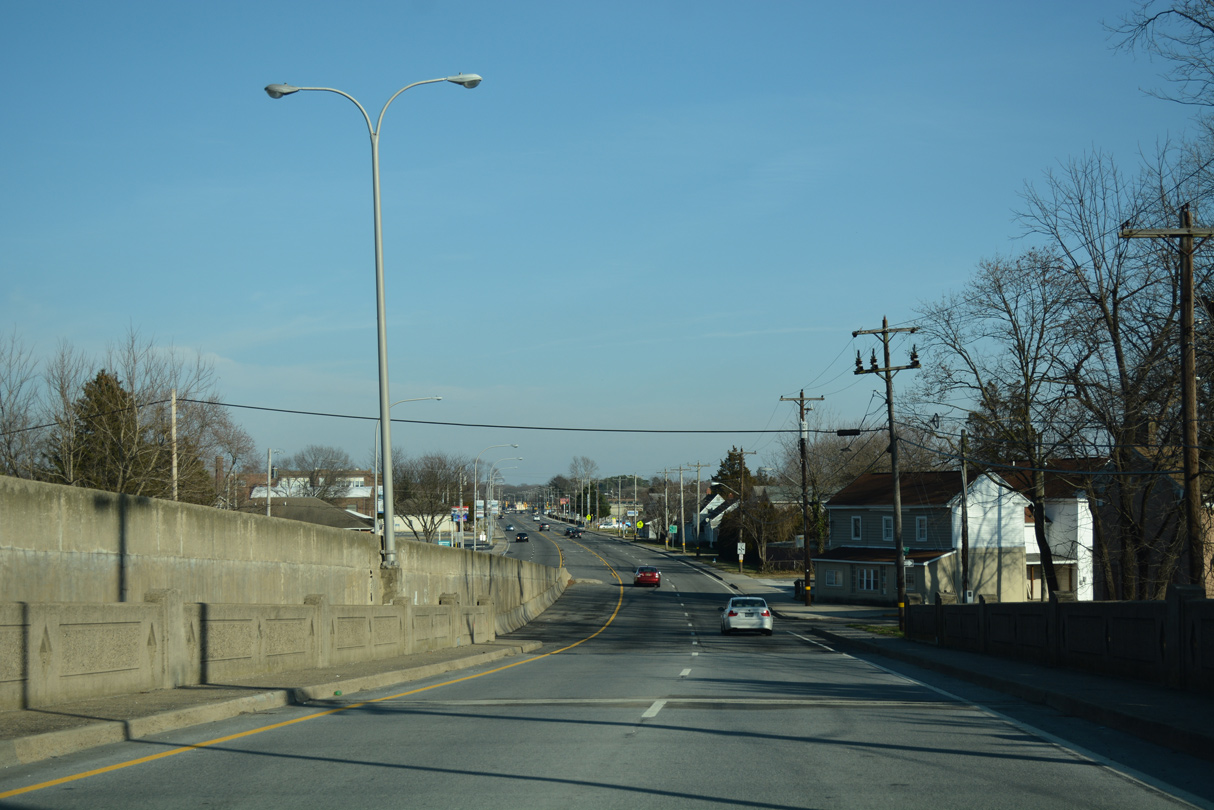
| SR 20 (Stein Highway) veers northeast and crosses Chapel Branch into the city limits of Seaford. 01/15/17 |
|
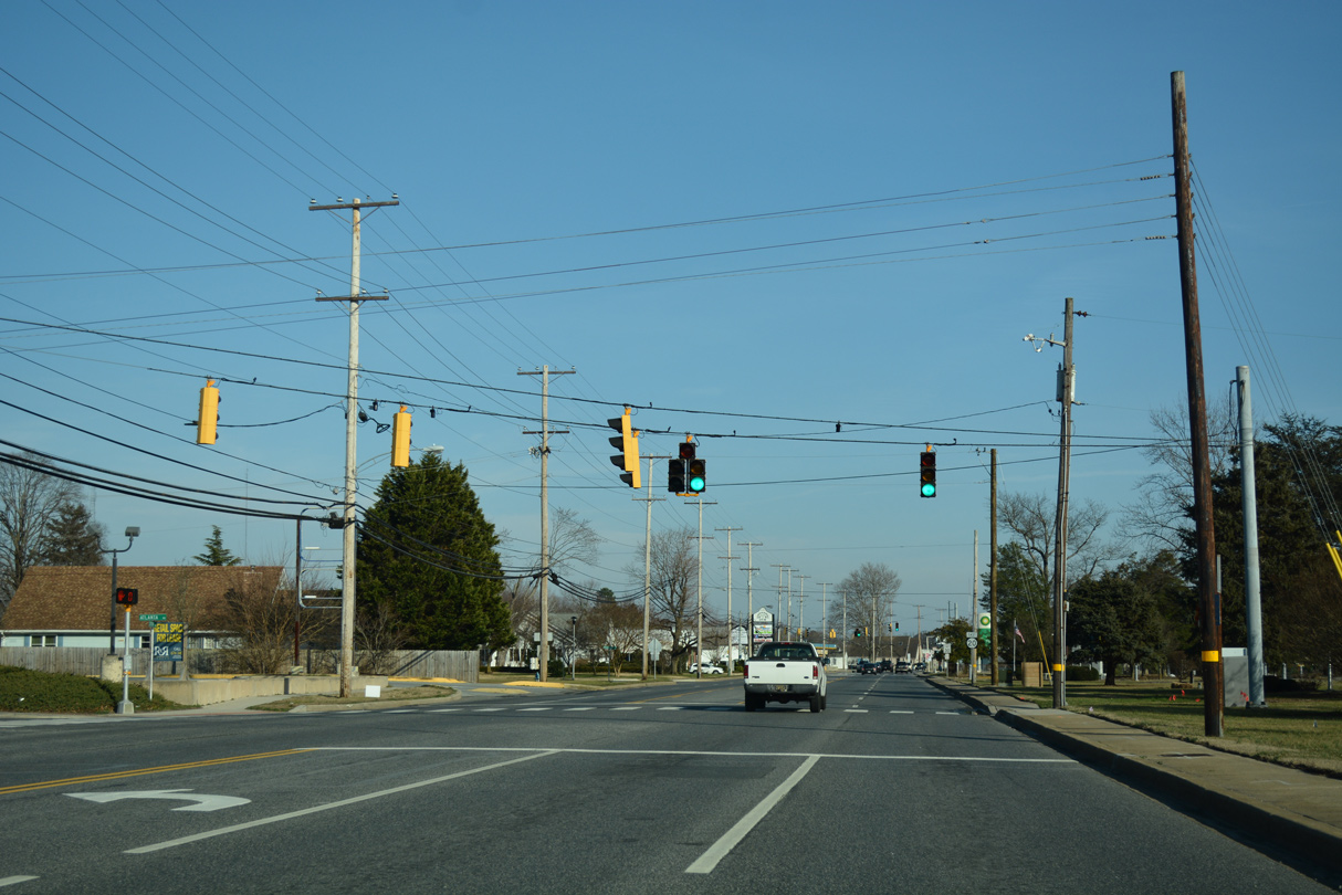
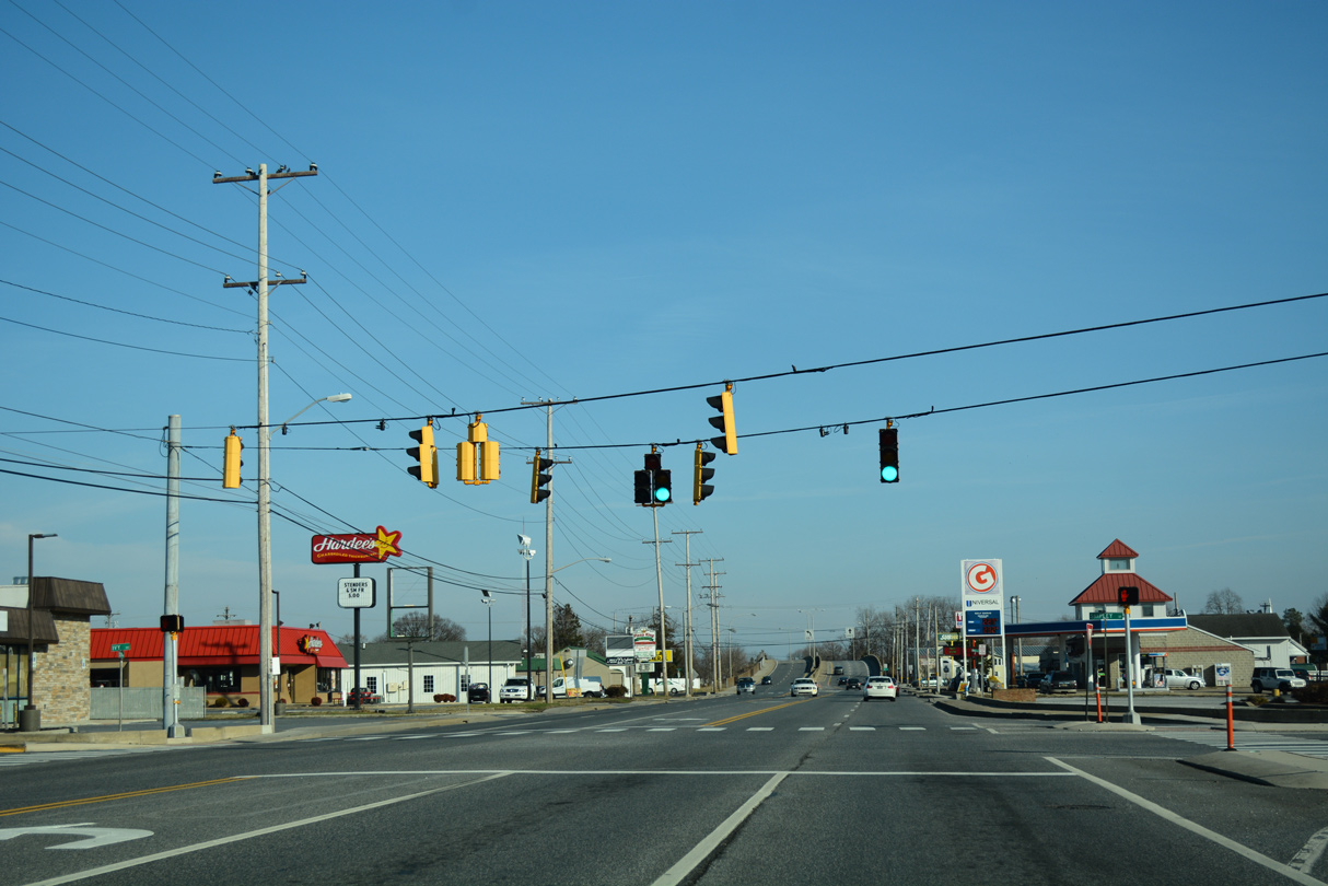
| Stein Highway expands into a five lane commercial arterial from Sussex Avenue and Nylon Capital Shopping Center east to the Norfolk Southern Railroad underpass. 01/15/17 |
|
| Atlanta Road meanders southeast from SR 18 (Federalsburg) and Atlanta to end at SR 20 (Stein Highway) by Kiwanis Park. 01/15/17 |
|
| The second reassurance marker posted for SR 20 appears after the signalized intersection with Atlanta Road. 01/15/17 |
|
| Nylon Boulevard extends south from residential areas north of SR 20 to Harrington Street.
Nylon Boulevard is named after the DuPont plant built along the Nanticoke River. With DuPont selecting Seaford for a new plant for full-scale production of nylon, it selected a 609 acre site along the Nanticoke River in 1939. A second plant was added to the facility soon there after, upping the site wide production of nylon yard to 8 million pounds per year. The operation later produced nylon for parachutes and B-29 bomber tires during World War II. Work shifted to nylon production for the carpet industry in 1958.1 01/15/17 |
|
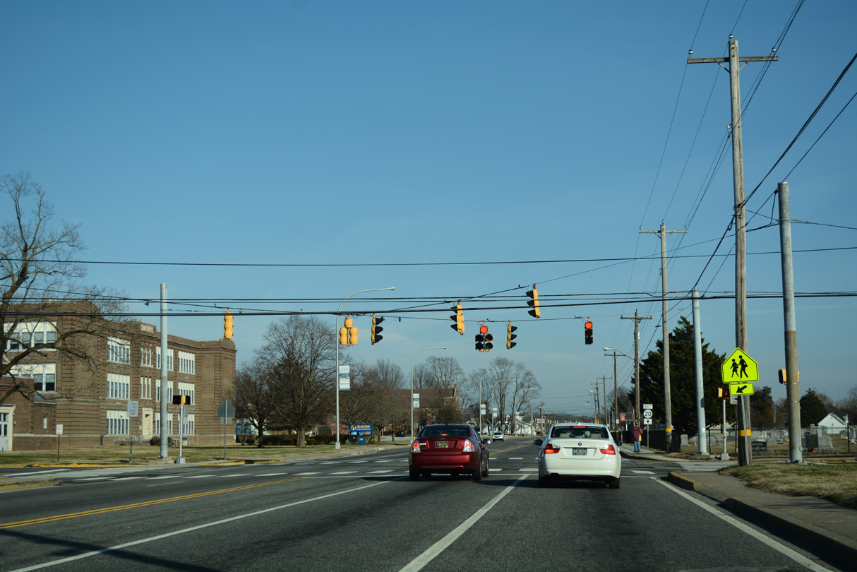
| Fast food franchises and other retail line SR 20 (Stein Highway) east to Porter Street. A truck route trailblazer precedes the traffic light with Shipley Street. 01/15/17 |
|
| Shipley Street bisects the Seaford street grid south to Harrington Street. Ivy Drive ties into the signal with SR 20 from the Woodside Manor neighborhood. 01/15/17 |
|
| A turn-off joins Bradford Street south ahead of the Norfolk Southern Railroad underpass above Cedar Avenue. 01/15/17 |
|
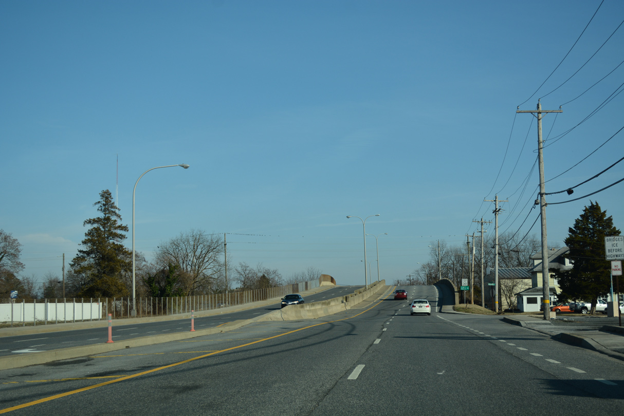
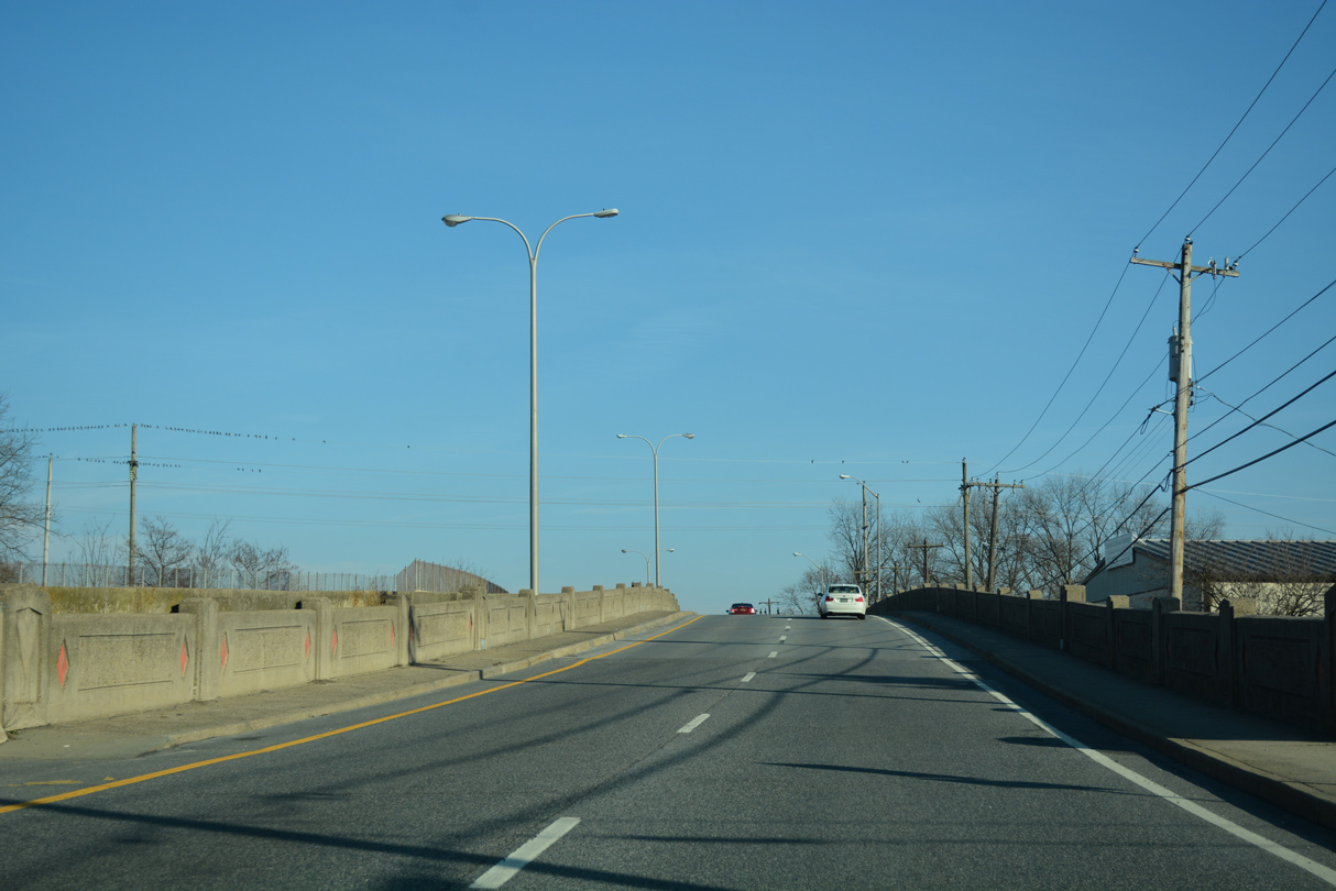
| The eastbound span across the NS Railroad dates back to 1940. It was reconstructed in 1996.2 01/15/17 |
|
| Lowering from the NS Railroad bridge, SR 20 (Stein Highway) intersects Pine Street south and otherwise resumes as a five lane arterial. 01/15/17 |
|
| Market Street leads south from Seaford High School to cross paths with SR 20 (Stein Highway) at Old Fellows Cemetery. The street continues to the Seaford business district and a bridge across the Nanticoke River into Blades. 01/15/17 |
|
| SR 20 (Stein Highway) passes south of Seaford Middle School and north of Old Fellows Cemetery with four lanes. 01/15/17 |
|
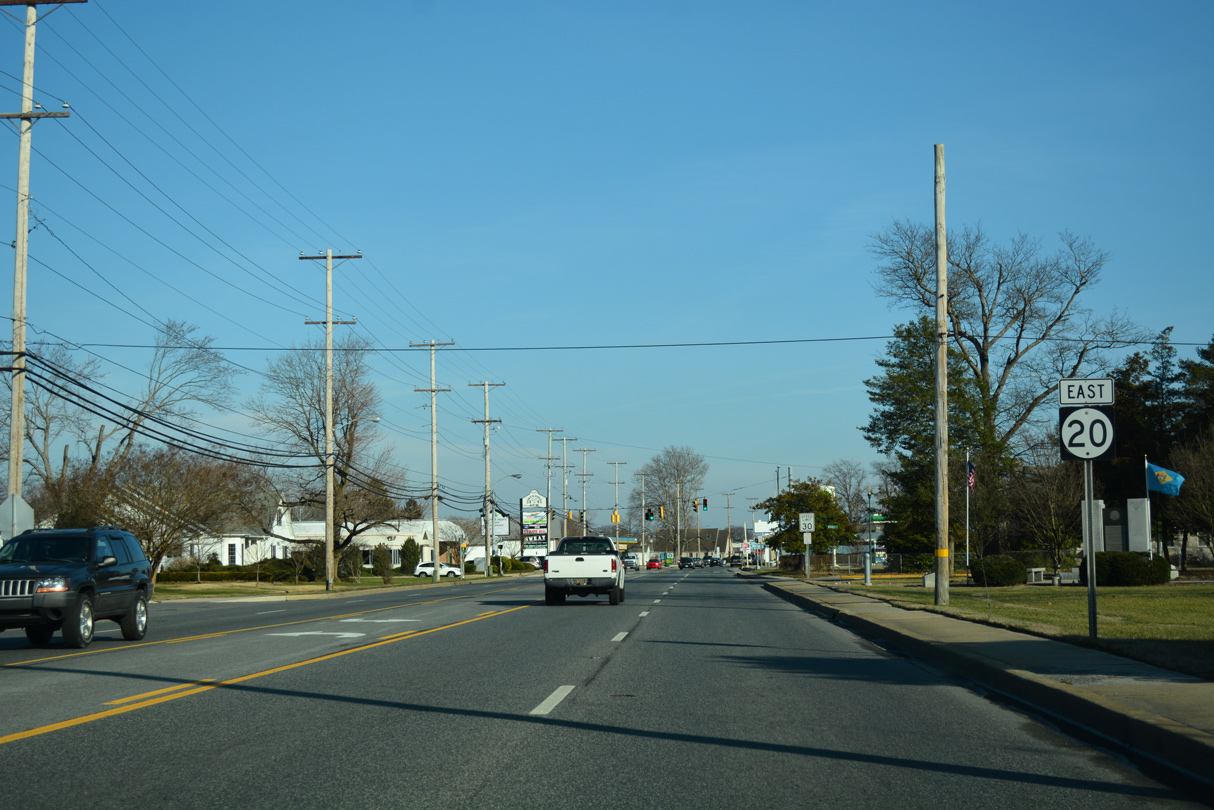
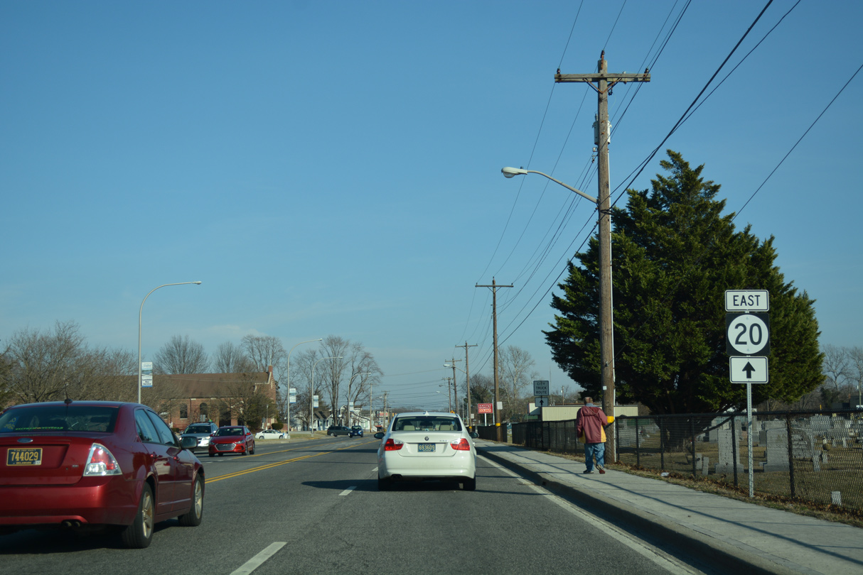
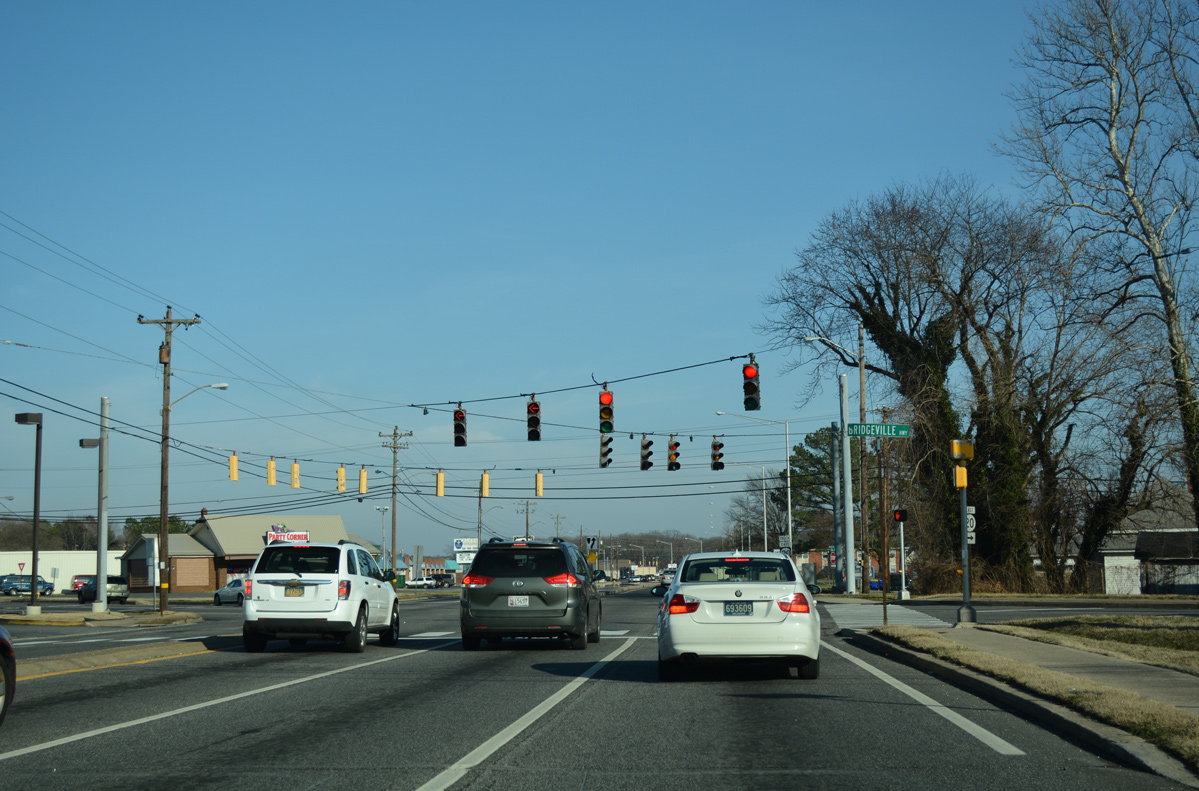
| Front Street stems north from Market Street and Downtown Seaford to become Bridgeville Highway at SR 20 (Stein Highway). Collectively the two north-south roads were U.S. 13 Alternate until 1957. 01/15/17 |
|
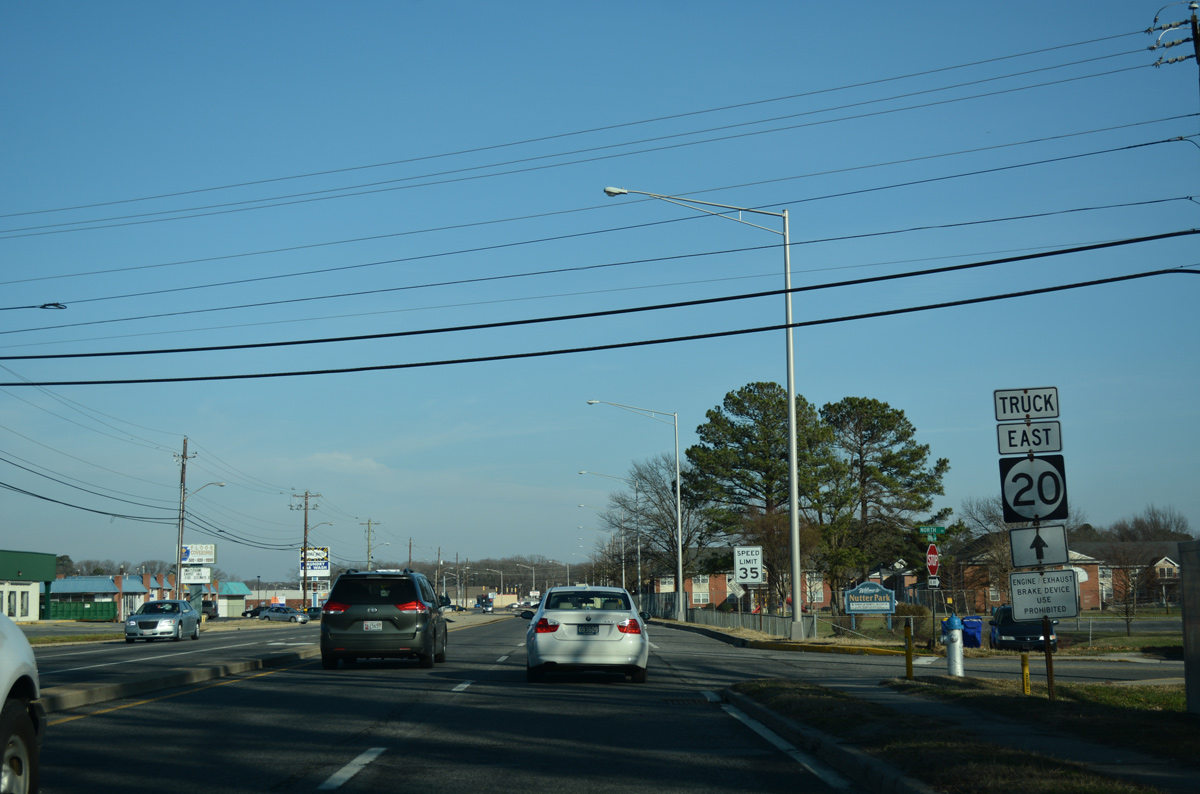
| Another truck shield references the SR 20 eastbound mainline as the route passes by Nutter Park along Norman Eskridge Highway east. This alignment replaced an L-shaped route to the south via Front and High Streets through Blades. 01/15/17 |
|
| Chandler Street angles northeast from 3rd Street through residential areas to meet SR 20 (Norman Eskridge Highway) by Chandler Heights apartments. 01/15/17 |
|
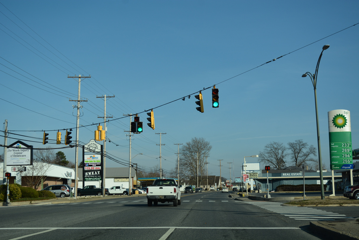
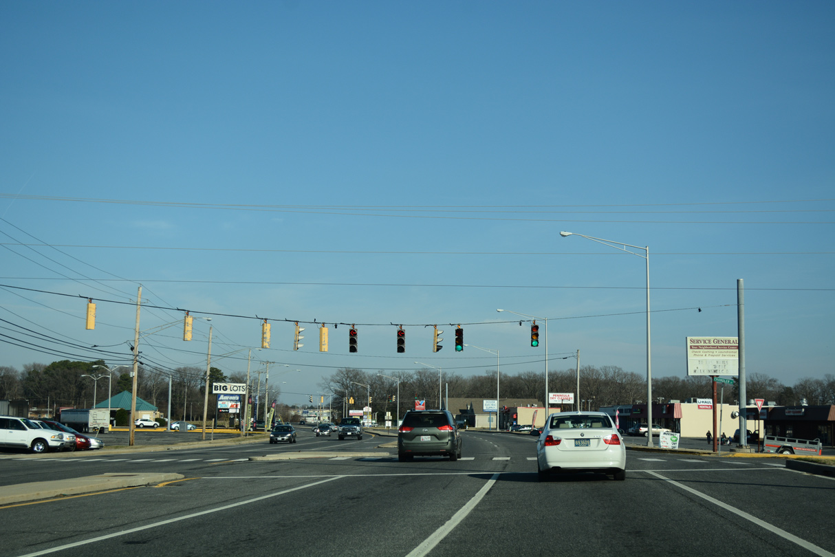
| A subsequent traffic light on SR 20 east operates at an older shopping center and service road north of Williams Pond Park. 01/15/17 |
|
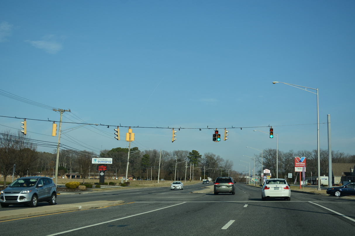
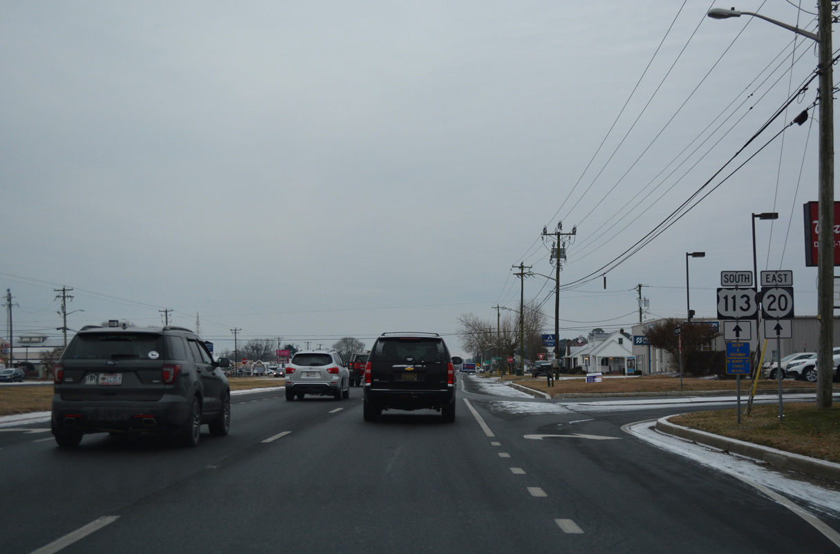
| SR 20 turns south alongside U.S. 13 (Sussex Highway) for a 0.83 mile overlap to bypass Blades to the east. U.S. 13 constitutes a commercial arterial north toward Hearns Mill. 01/15/17 |
|
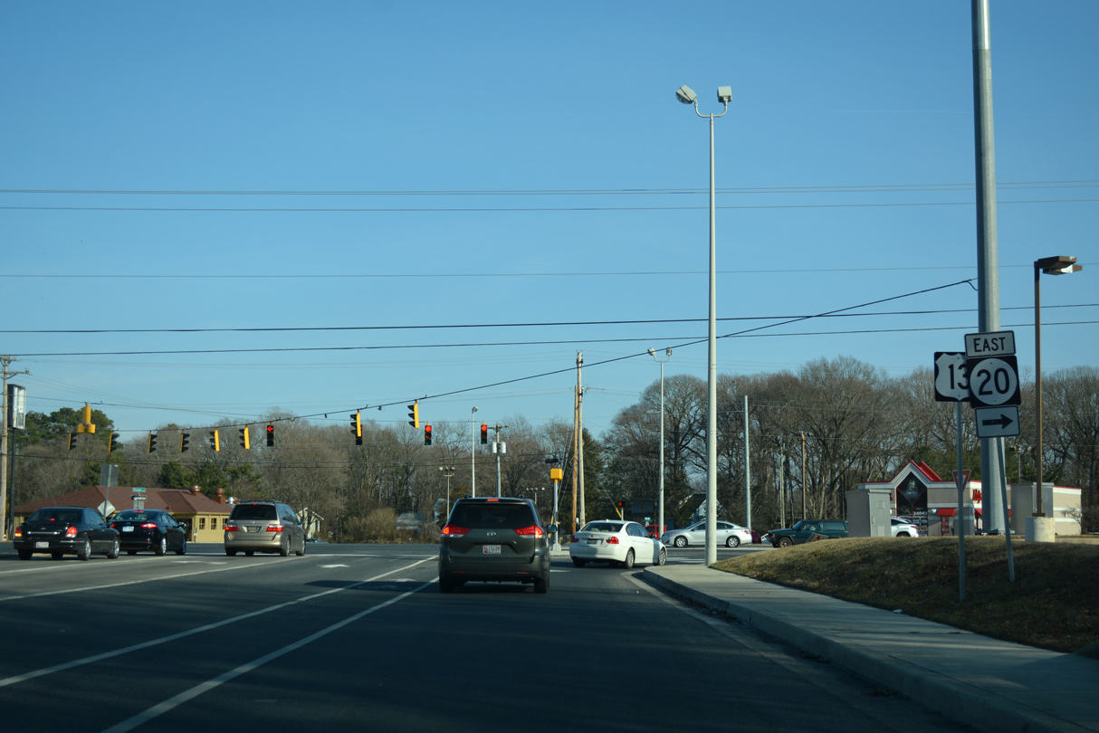
| A trailblazer only references U.S. 13 south after the merge with SR 20 east. 01/15/17 |
|
| Middleford Road heads northeast from High Street and Downtown Seaford to converge with U.S. 13/SR 20 on The Island. 01/15/17 |
|
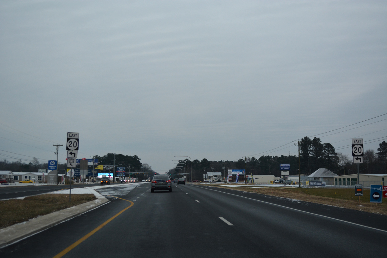
| Continuing south across the Nanticoke River, an array of signs precedes the eastbound split of SR 20 from U.S. 13 (Sussex Highway) south for the Delaware beaches. 01/15/17 |
|
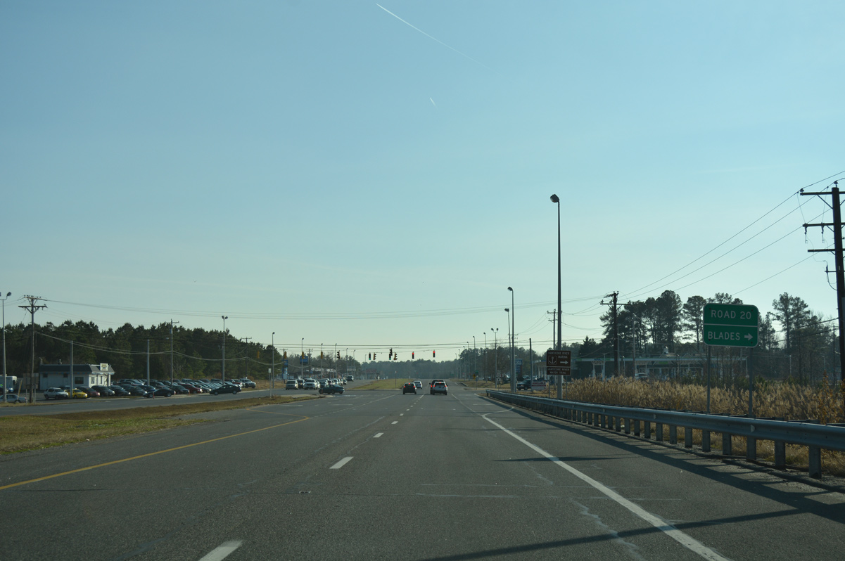
| Road 20 extends west from U.S. 13 as the former alignment of SR 20 on Concord Road and High Street to Market Street in the town of Blades. 01/15/17 |
|
| SR 20 (Hardscrabble Road) travels a mostly rural route east from U.S. 13 outside Blades to U.S. 113 (Dupont Boulevard). The state route enters incorporated areas of Millsboro at Governor Stockley Road, 2.3 miles ahead of U.S. 113. 01/16/17 |
|
| U.S. 113 travels a rural route north from Millsboro to the Sussex County seat of Georgetown. South from the town of around 4,000, U.S. 113 continues to Selbyville and SR 54 east to Fenwick Island. 01/16/17 |
|
| U.S. 113 south / SR 20 east share a 3.2 mile concurrency south through Millsboro. Betts Pond Road ties into the north end of the overlap from Betts Pond and State Street near Downtown Millsboro. 01/16/17 |
|
| U.S. 113 south / SR 20 east cross Betts Pond just south of their merge at Betts Pond Road. 12/30/17 |
|
| U.S. 113 south / SR 20 (Dupont Boulevard) east navigate through a commercial strip to SR 24 (Washington Street) southwest of Downtown Millsboro. 12/30/17 |
|
| West from Millsboro Highway (old SR 30), SR 24 continues to Lowes Crossroads, Trap Pond State Park and Laurel. The state route travels across the width of Sussex County to MD 348 near Sharptown. 12/30/17 |
|
| U.S. 113 south/SR 20 (Dupont Boulevard) south continue another 1.6 miles south along the commercialized stretch through Millsboro. 12/30/17 |
|
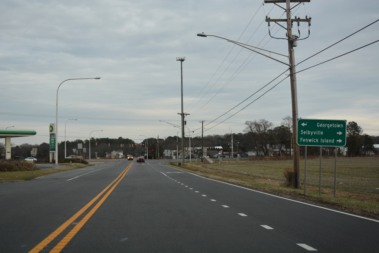
| The town of Dagsboro lies three miles to the southeast along SR 20. U.S. 113 reaches Selbyville in ten miles. 12/30/17 |
|
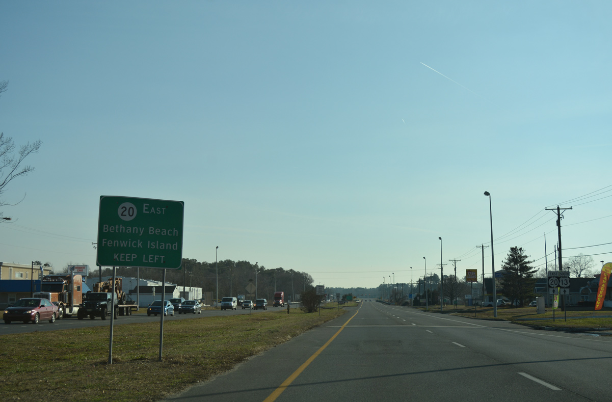
| Lying 13 miles to the east, SR 20 provides a cut off to SR 26 east for Bethany Beach. The two state routes combine along Main Street in Dagsboro, 2.25 miles to the southeast. 12/30/17 |
|
| Leaving the town of Millsboro, U.S. 113 south and SR 20 eastbound split at Dagsboro Road. 12/30/17 |
|
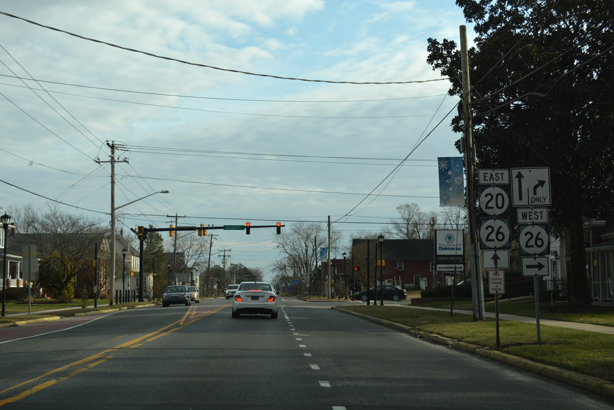
| Passing through the heart of Dagsboro, SR 20 (Main Street) meets SR 26 (Clayton Street) west. SR 26 ventures west to SR 30 at Shaft Ox Corner while combining with SR 20 east for a half mile en route to Bethany Beach. 06/18/12 |
|
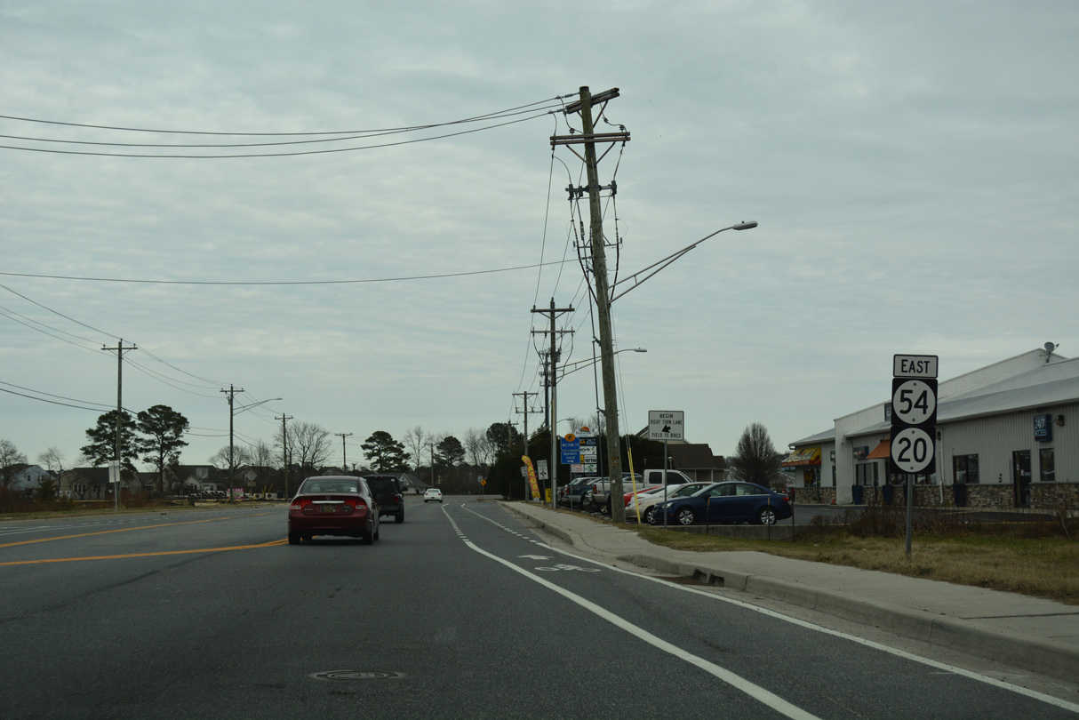
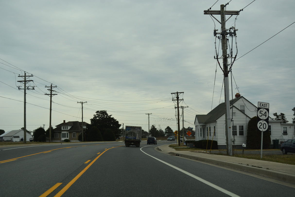
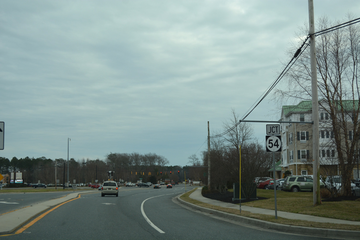
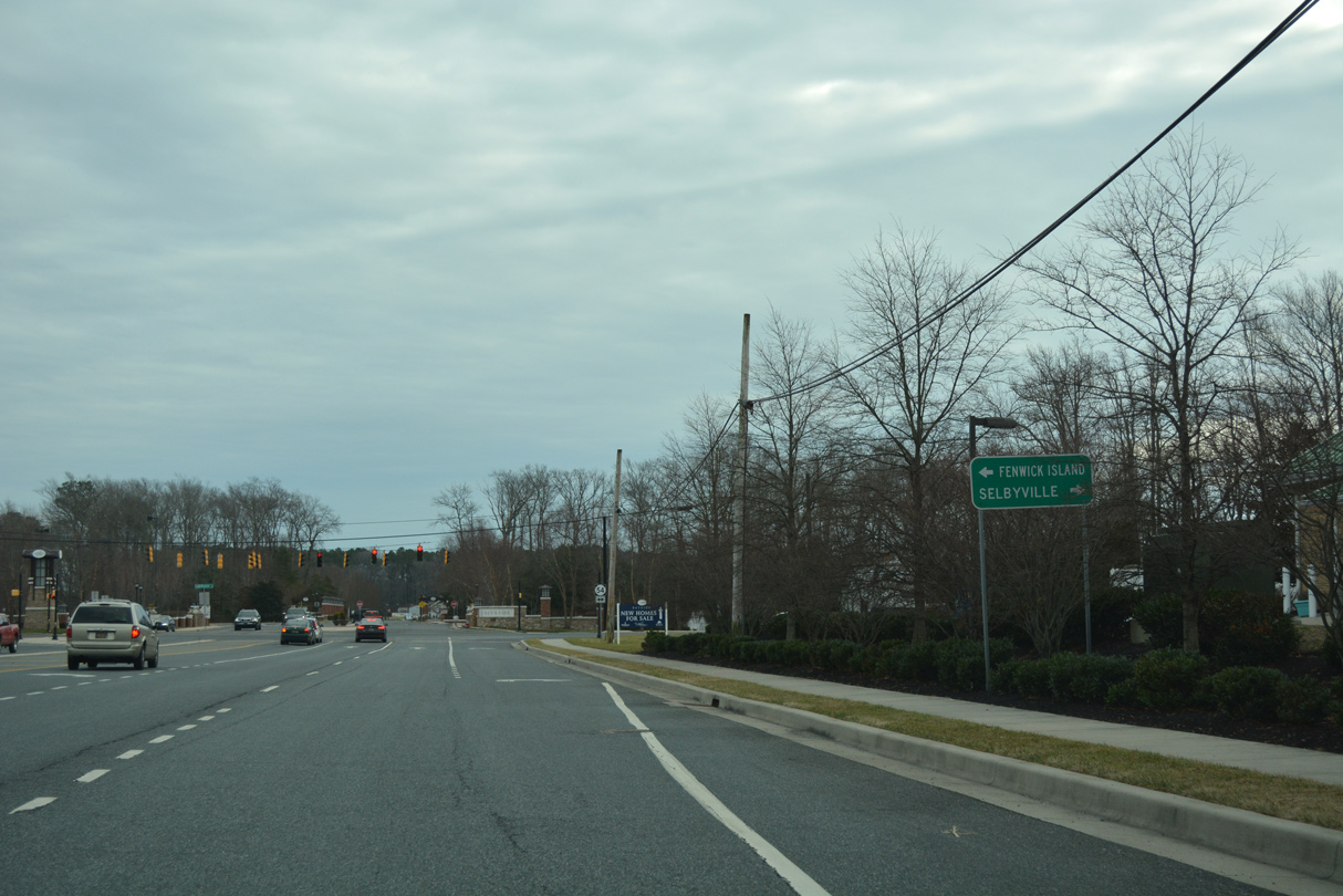
| SR 20 advances east from the rural community of Johnson to intersect SR 54 amid heavy development. The approach to Lighthouse Road was reealigned to both intersect SR 54 at a 90 degree angle and tie into Americana Parkway south. 01/16/17 |
|
| SR 54 runs across southernmost Sussex County east to Fenwick Island and west to Selbyville, Gumboro and Delmar. 01/16/17 |
|
| Although not acknowledged on shield assemblies, SR 20 continues east alongside SR 54 for route continuity between the U.S. 113 corridor and SR 1 at Fenwick Island. Americana Parkway otherwise extends south to the Americana Bayside development. 01/16/17 |
|
| SR 20 was extended east in 1991 to provide a second route to Fenwick Island from U.S. 113 and points west. It overlaps with SR 54 for the final four miles of both routes. This assembly was removed by 2018. 01/16/17 |
|
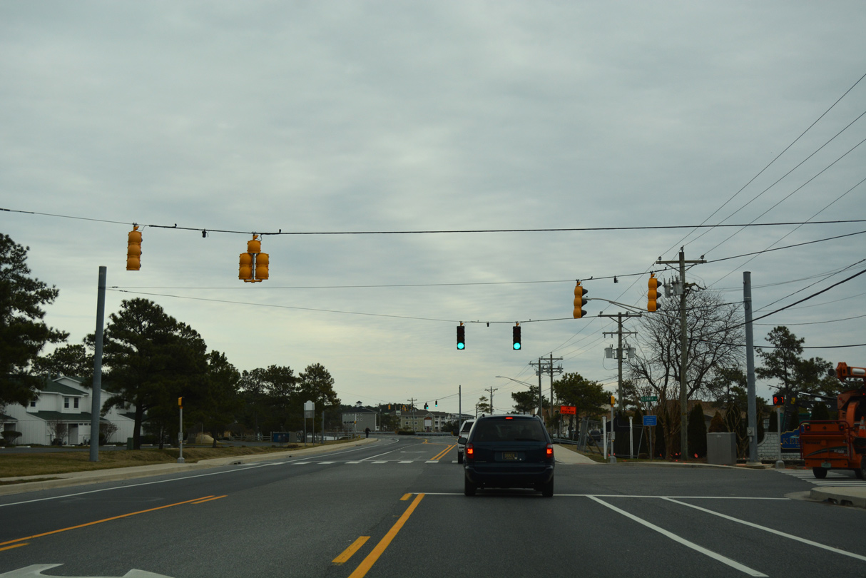
| Fenwick Boulevard intersects SR 20/54 (Lighthouse Road) at the succeeding eastbound traffic light. The signal serves adjacent retail and the Swann Cove subdivision. 01/16/17 |
|
| Suburban development lines both sides of SR 20/54 east to Laws Point Road, the main access road to the Shady Park and Swann Keys manufactured home communities off Dirickson Creek. 01/16/17 |
|
| Reassurance markers for SR 20/54 stand along Lighthouse Road east after Laws Point Road. 01/16/17 |
|
| The three lane boulevard along SR 20/54 (Lighthouse Road) curves southeast from Dirickson Neck through Bayville. 01/16/17 |
|
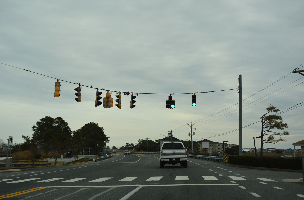
| Keenwick Road stems south from the succeeding traffic light of SR 20/54 east to the canal-lined development of Keenwick off Roy Creek and Montego Bay. 01/16/17 |
|
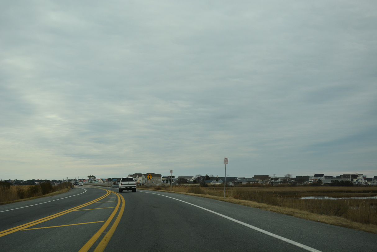
| SR 20/54 shift onto the 2001-03 rebuilt section of Lighthouse Road from Mallard Lakes Road east to Fenwick Island. 01/16/17 |
|
| The $15.76 million project completed in August 2003 elevated SR 54 onto two viaducts. The bridges bypass flood proned stretches of Lighthouse Road along the south side. 01/16/17 |
|
| A signalized intersection connects SR 20/54 with Wilson Avenue to the Cape Windsor community. A portion of Old Lighthouse Road remains as an adjacent service road to Windsor North as well. 01/16/17 |
|
| An 800 foot long viaduct carries motorists along SR 20/54 just north of Cape Windsor. 01/16/17 |
|
| SR 20/54 east cross The Ditch onto Fenwick Island. The 1957 bridge spans the channel connecting the ways of Assawoman Bay in Maryland with Little Assawoman Bay in Delaware. 01/16/17 |
|
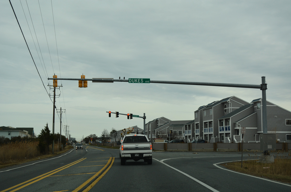
| Dukes Avenue angles southwest from Lighthouse Road to North Surf Park in Ocean City, Maryland. 01/16/17 |
|
| Lighthouse Road parallels the Maryland state line to the conclusion of SR 20/54 at SR 1 (Coastal Highway). SR 1 south becomes MD 528 in one block at 146th Street. 01/16/17 |
|
| Coastal Highway south expands into a six lane arterial along Fenwick Island south through Ocean City, Maryland. SR 1 north bisects the town of Fenwick Island street grid with four lanes to Fenwick Island State Park. 01/16/17 |
|
| Lighthouse Road extends one block further from SR 1 to Bunting Avenue and a beach access point. 01/16/17 |
Page Updated 11-30-2018.


 East
East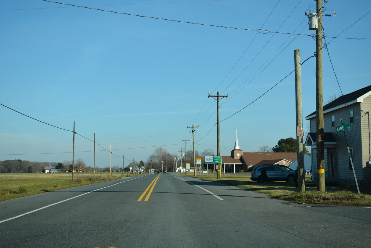

 South
South 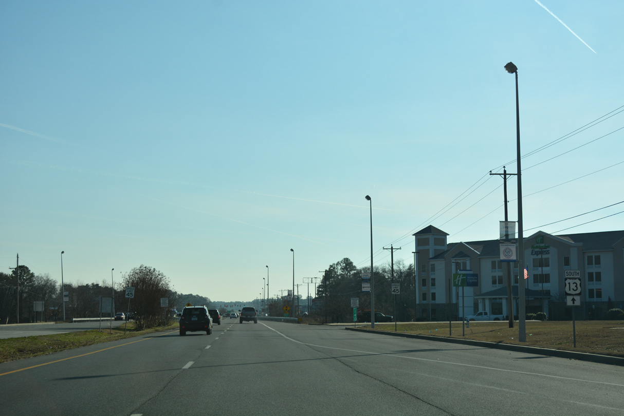


 South
South 


 East
East