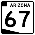
Arizona 67 is a short road that connects US 89A to the North Rim of the Grand Canyon. The 30.8 mile road travels along the Kaibab Plateau, through Kaibab National Forest until reaching the boundary of Grand Canyon National Park.
Arizona 67 was first constructed around 1926, and added to the State Highway System between 1936 and 1941. (The exact add date is inconclusive, as it appears on maps as early as 1936, but does not show as adopted into the system until 1941). The route has not changed since original construction. While the road is signed inside Grand Canyon National Park, the road inside the park is maintained by the National Park Service and is not part of the State Highway System.
Arizona 67 is closed during the winter, from the first snowfall until May 15th. Visitor Services at the North Rim of the Grand Canyon are offered from May 15 until mid-October.
|
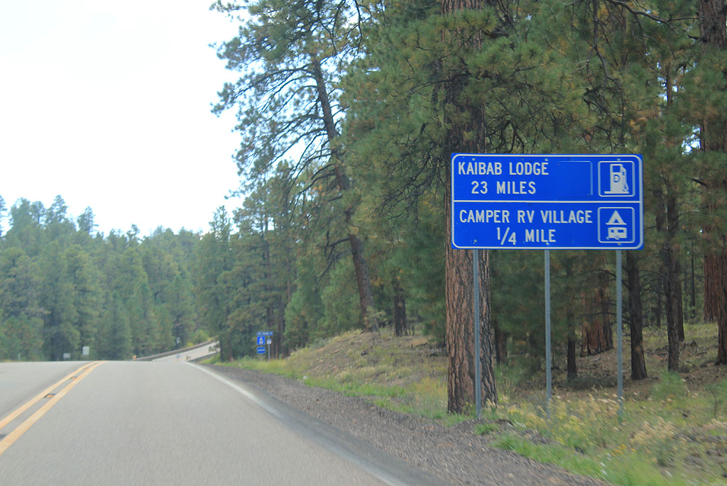
| Distance to the North Rim Lodge. The North Rim Lodge contains the only seasonal services along Arizna 67 between Jacob Lake and Grand Canyon. 09/25/11 |
|
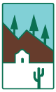
| SR 67 is the Kaibab Plateau North Rim Parkway, designated a scenic route in 1985. 09/25/11 |
|
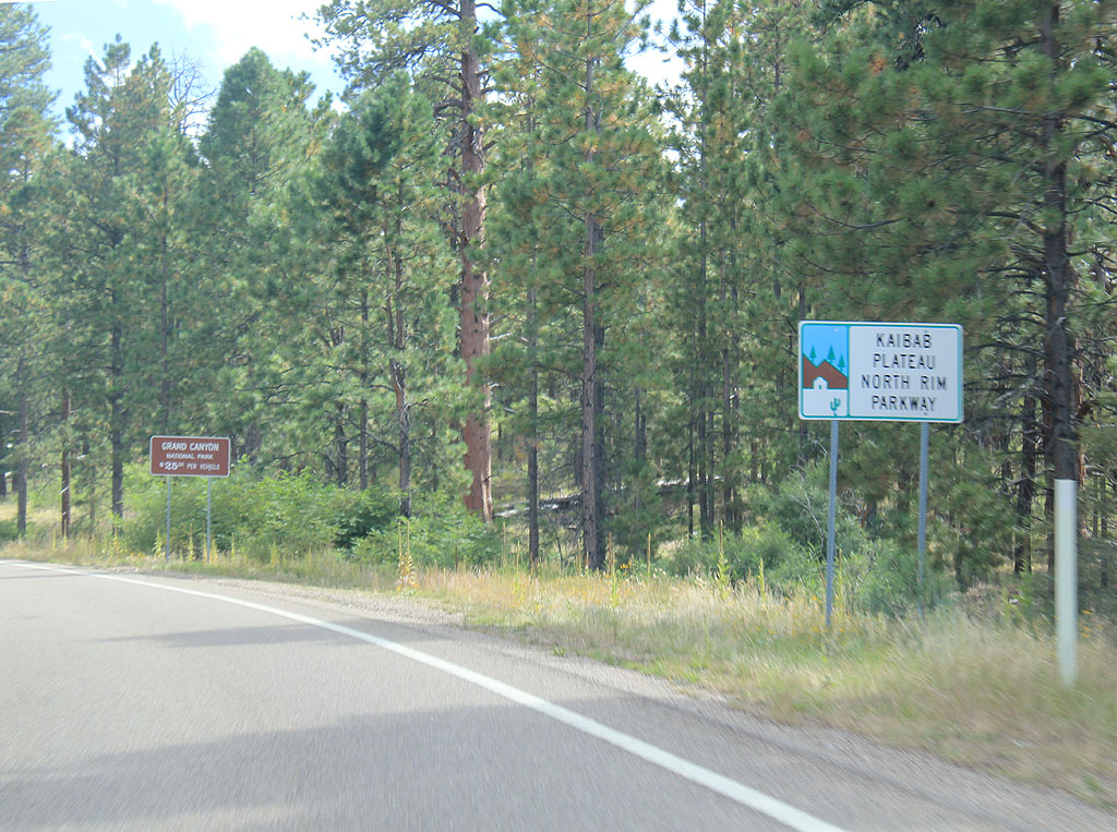
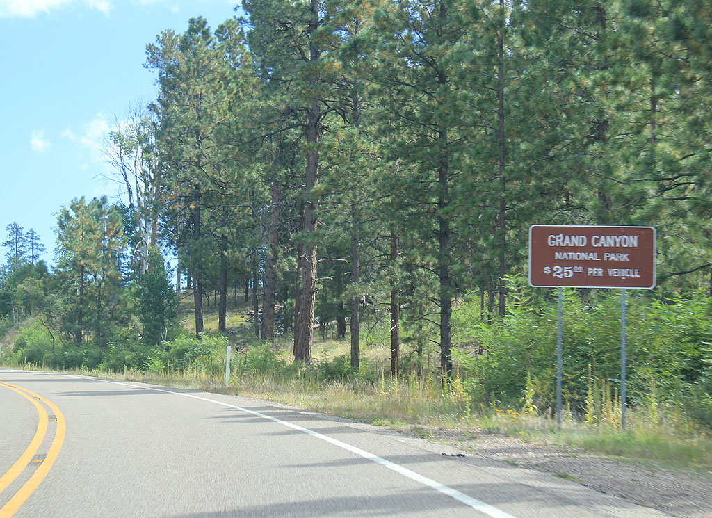
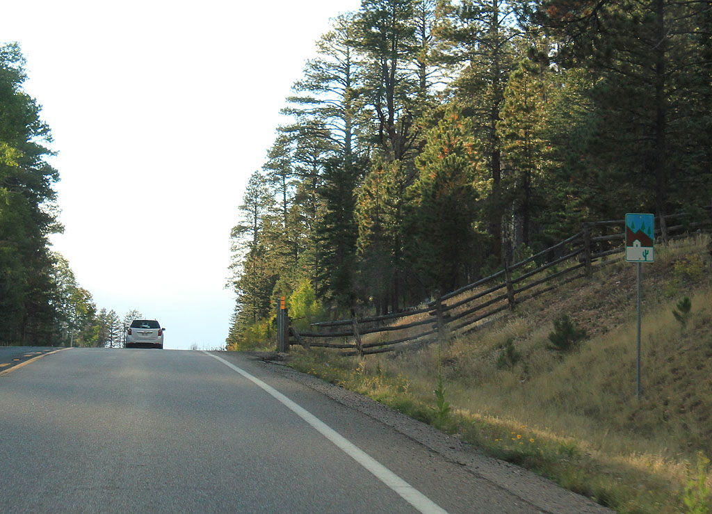
| Since SR 67 ends at Grand Canyon National Park, there is a reminder of the entrance fee just after the road begins. 09/25/11 |
|
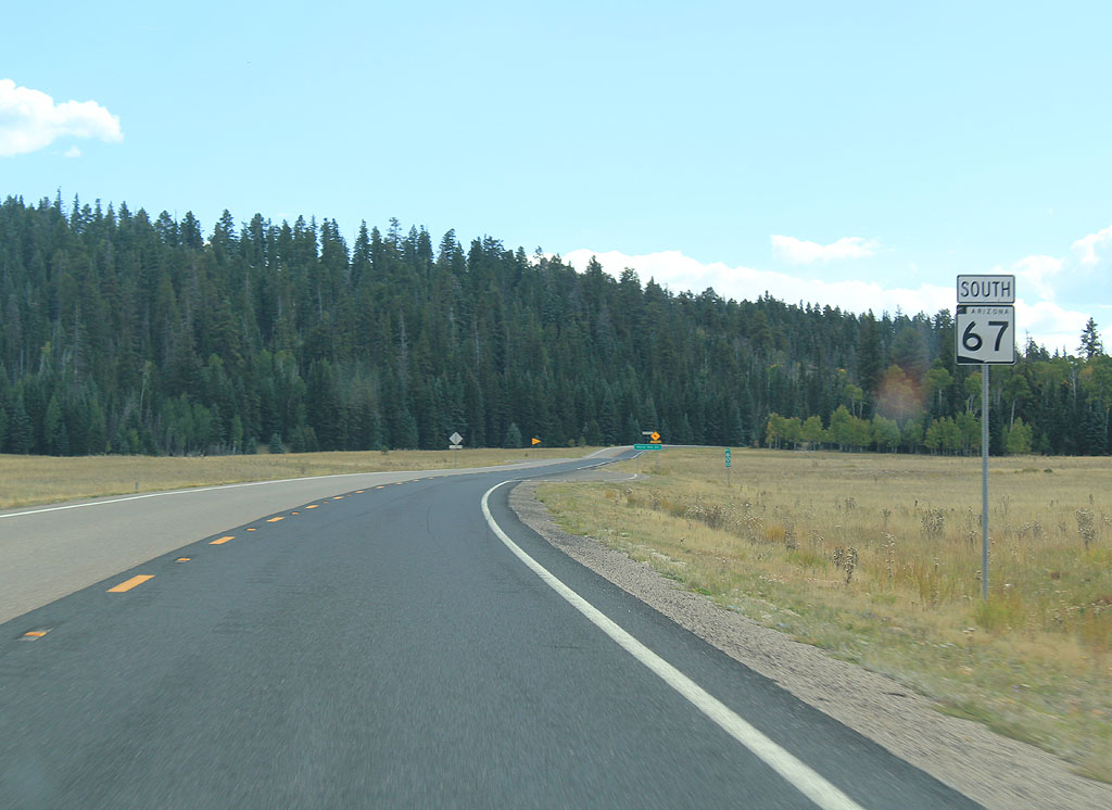
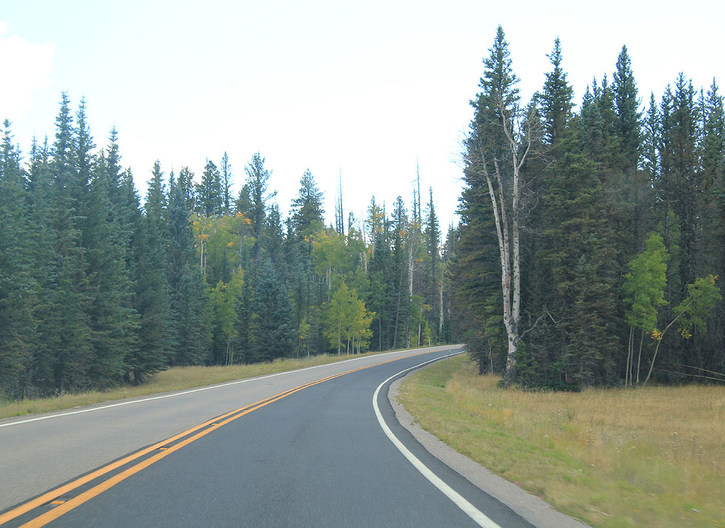
| SR 67 remains a scenic route for it's entire length. 09/25/11 |
|
| Leaving Jacob Lake, SR 67 begins to climb up the plateau. 09/25/11 |
|
| SR 67 follows the same route the stagecoaches used to reach the Grand Canyon Lodge when it was first constructed by the Union Pacific Railway. 09/25/11 |
|
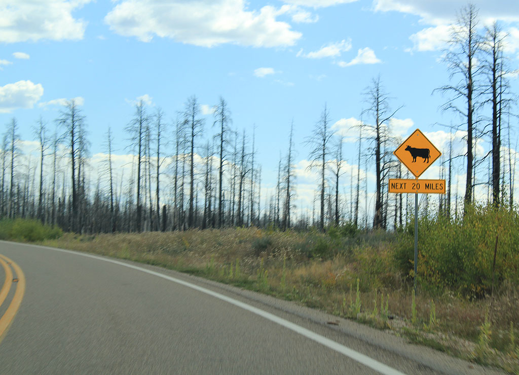
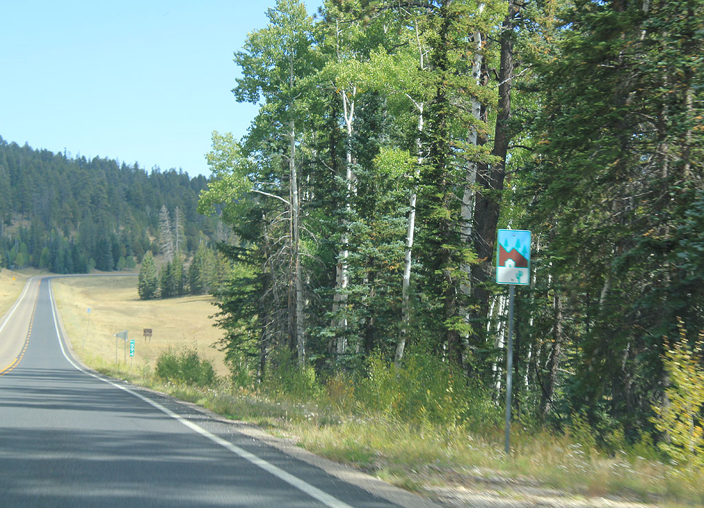
| Watch for cows for the next 20 miles (until the entrance to the National Park). 09/25/11 |
|
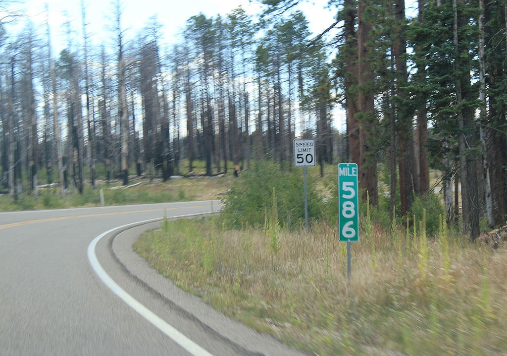
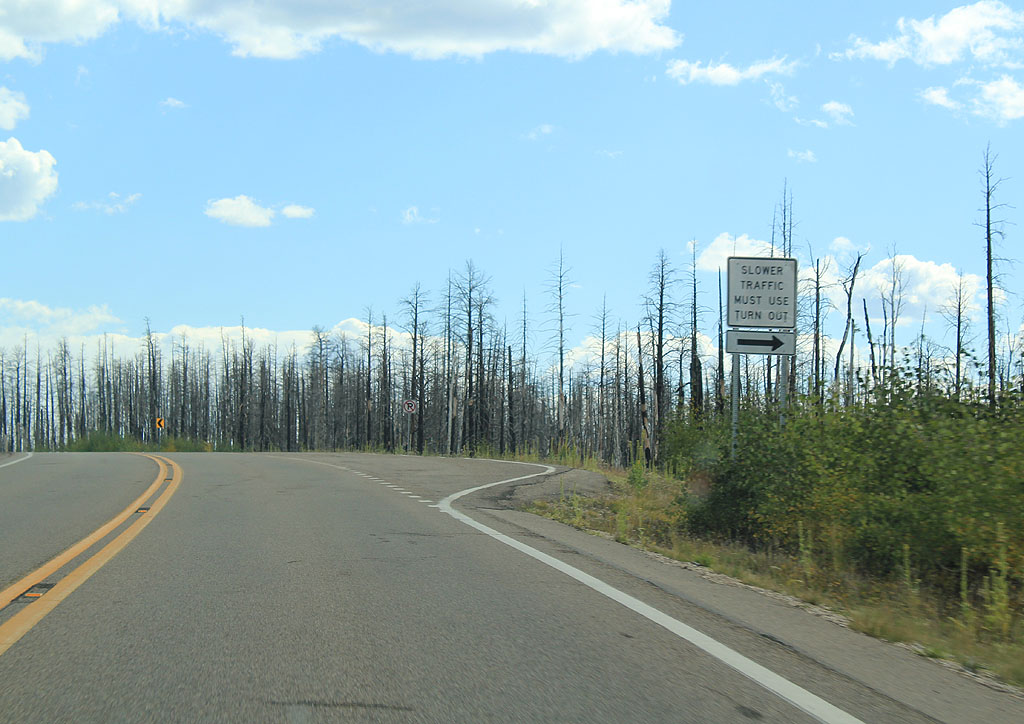
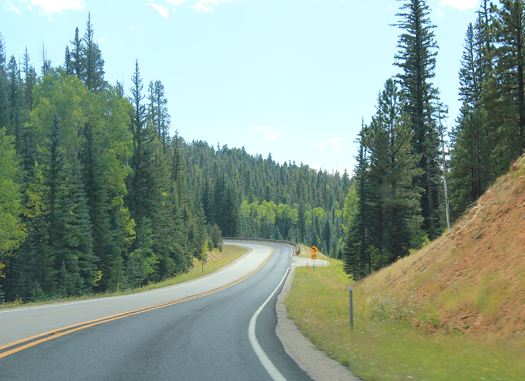
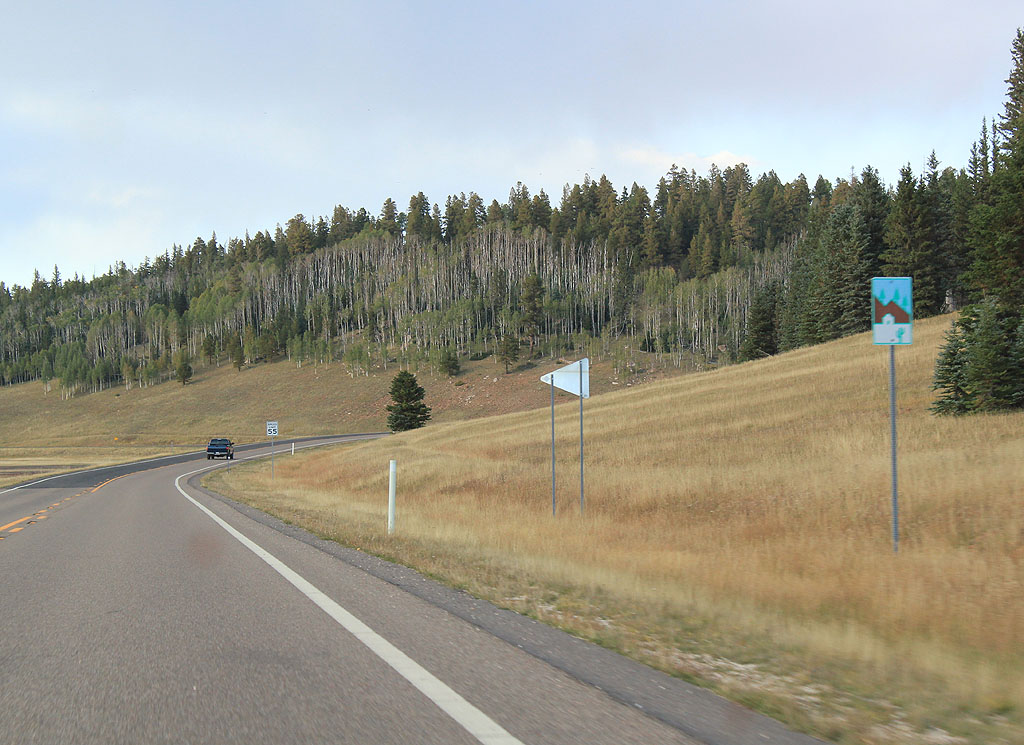
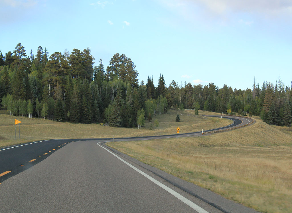
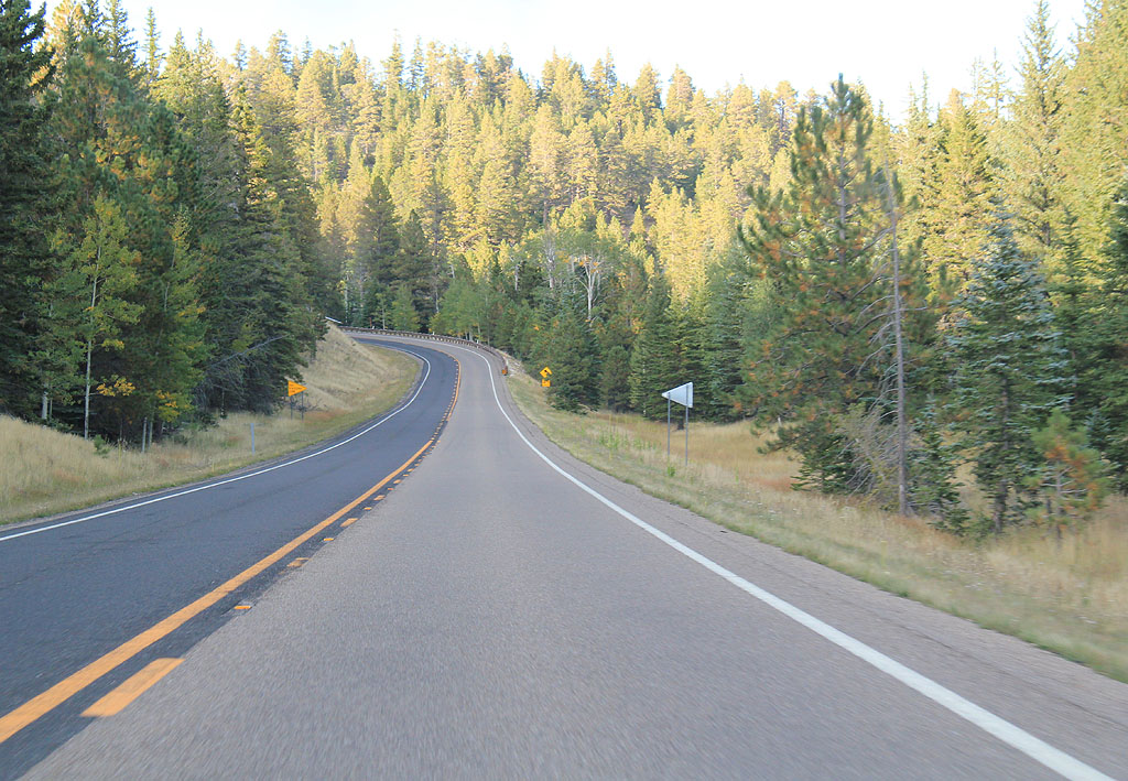
| Sections of AZ 67 have turnouts for slow traffic, due to limited passing opportunities. 09/25/11 |
|
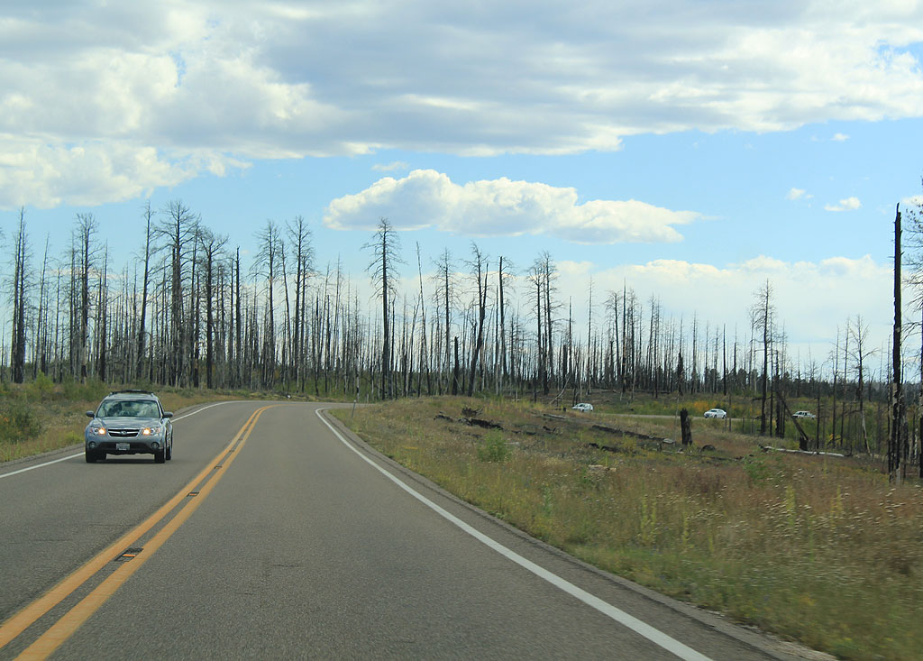
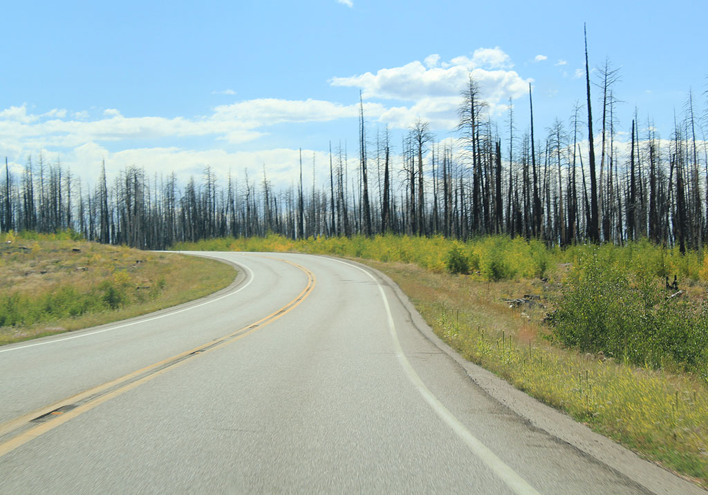
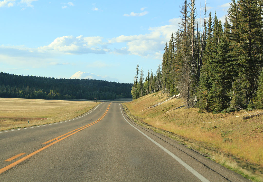
| This section of the highway goes through lands scorched by fire. 09/25/11 |
|
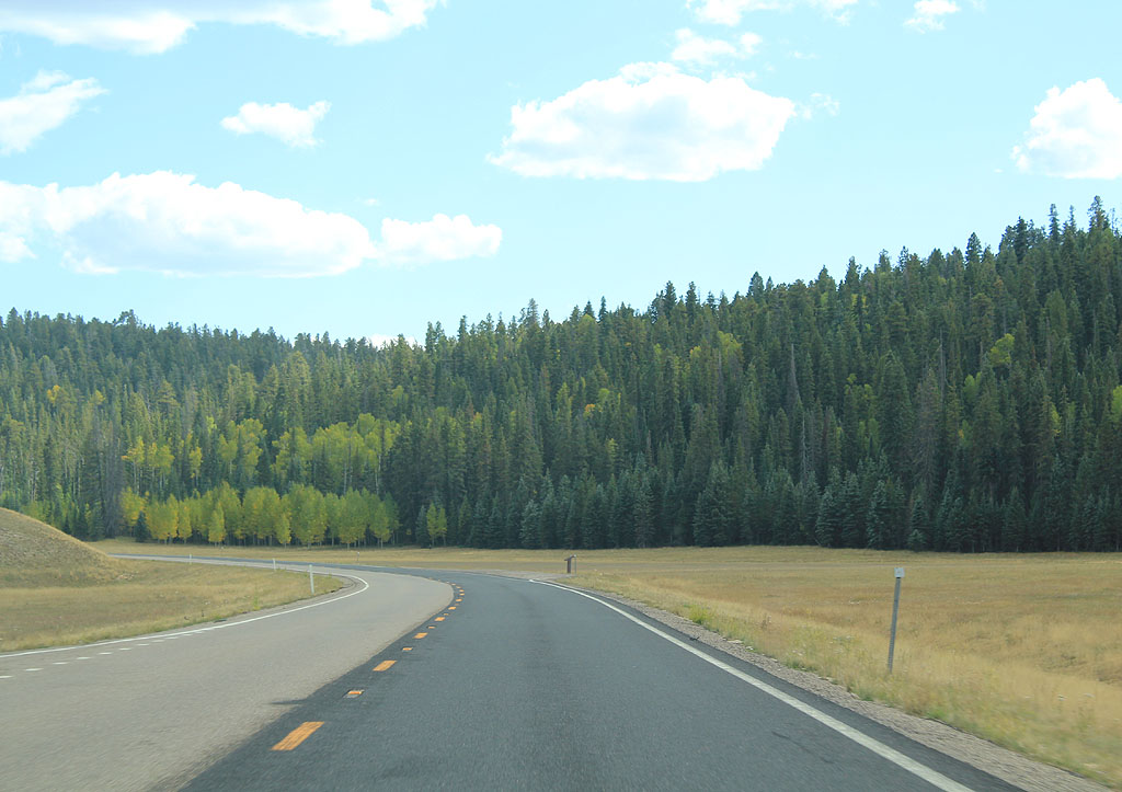
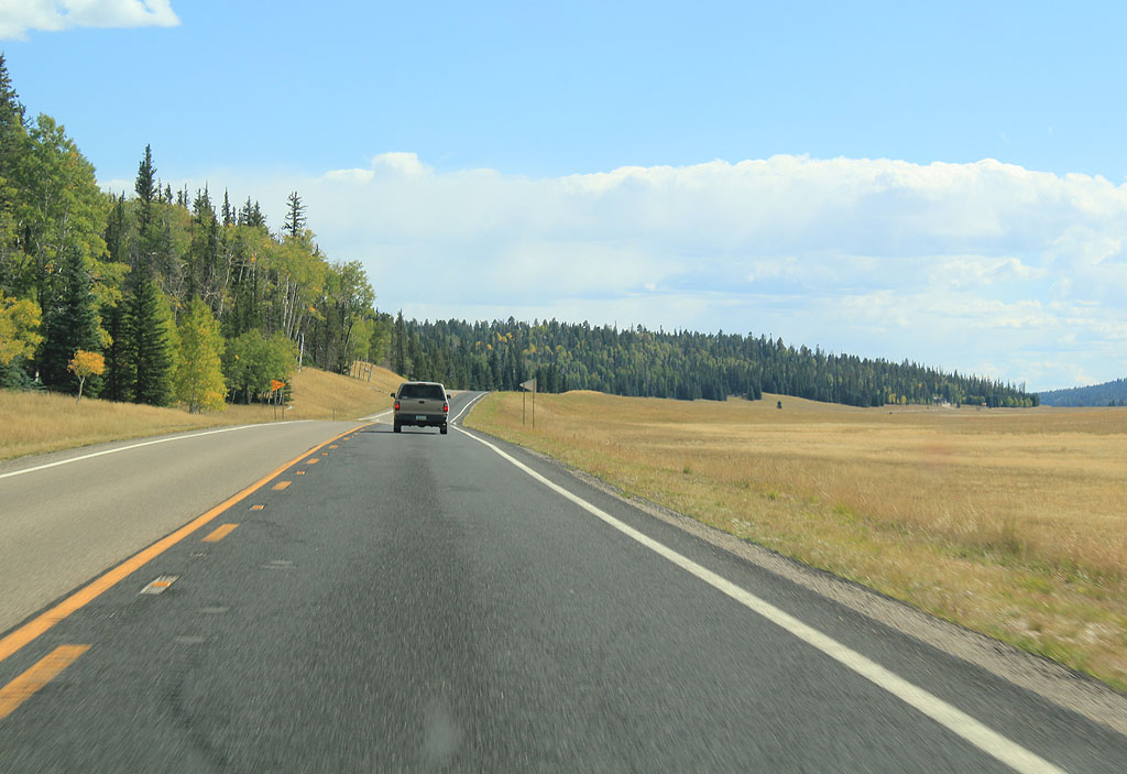
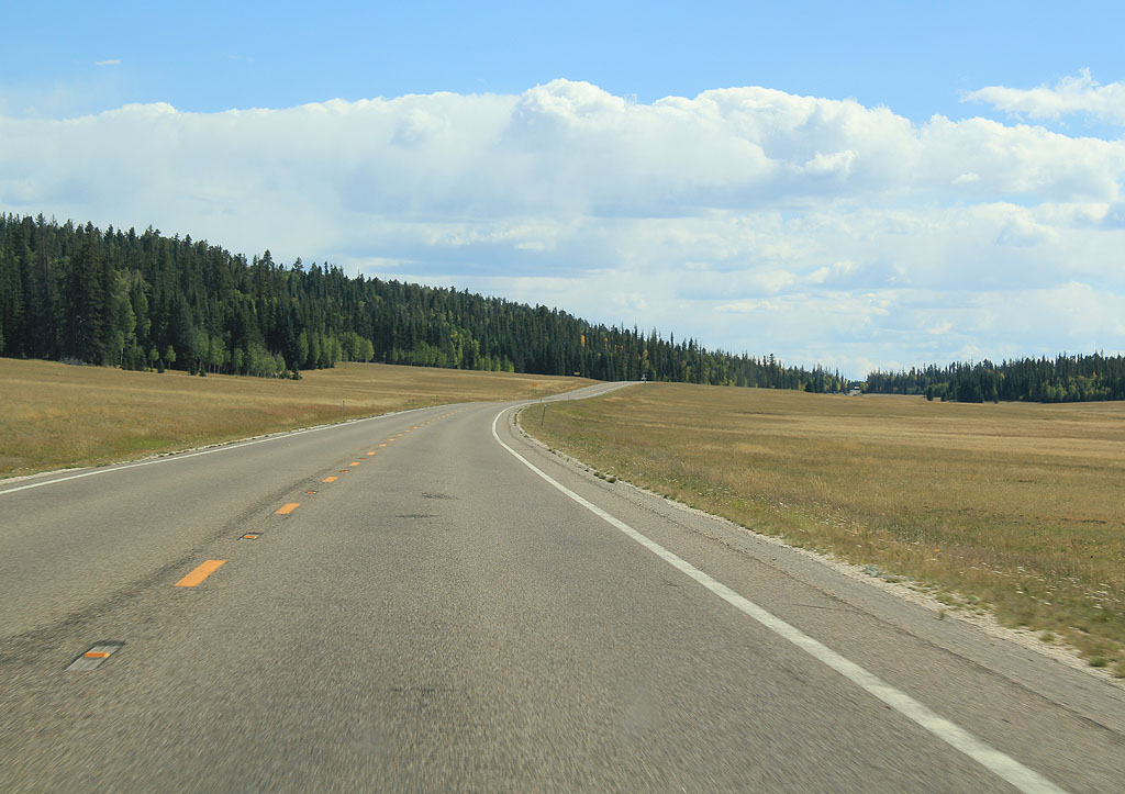
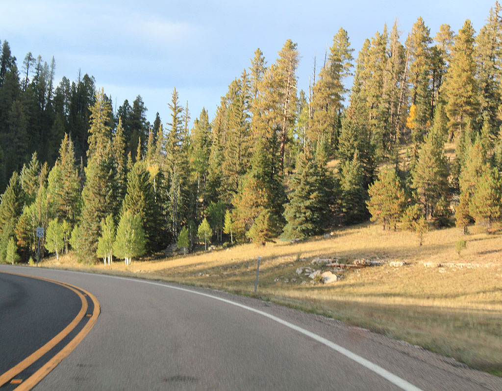
| SR 67 travels south and descends into the meadows of the Kaibab Plateau. 09/25/11 |
|
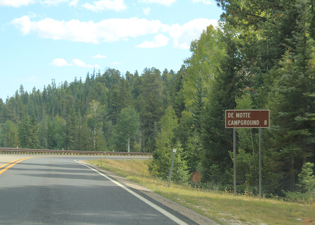
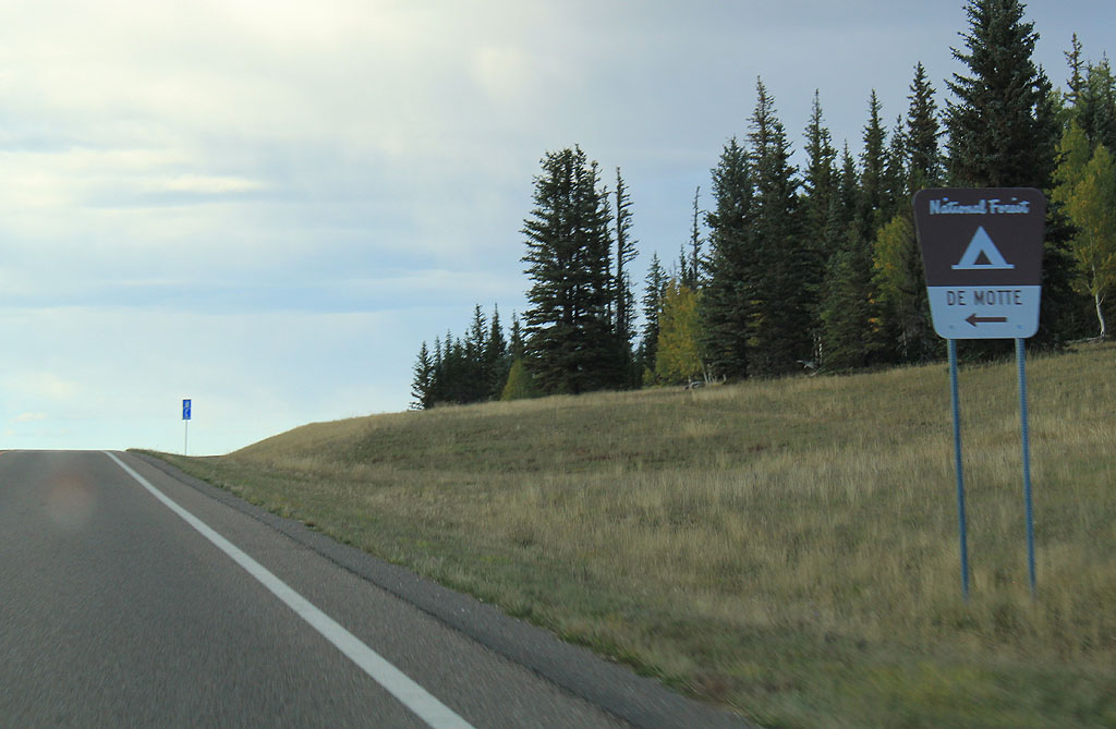
| Distance sign to Demotte Campground (8 miles). 09/25/11 |
|
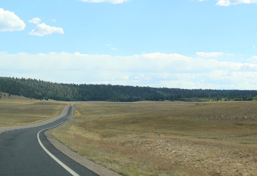
| SR 67 now travels through the long meadows of Pleasant Valley. 09/25/11 |
|
| This is the last reassurance marker along SR 67 southbound. 09/25/11 |
|
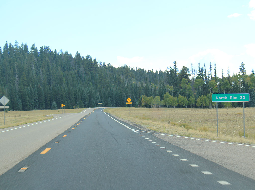
| Distance sign to the North Rim (23 miles). 09/25/11 |
|
| Between Pleasant Valley and De Motte Park, SR 67 crosses the low VT Hill. 09/25/11 |
|
| SR 67 follows De Motte Park for the last 10 miles before reaching Grand Canyon National Park. 09/25/11 |
|
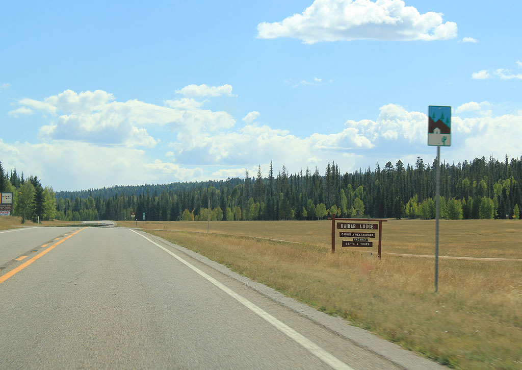
| SR 67 approaches the Kaibab Lodge. The lodge is believed to have been built around 1926, approximately the same time the road to the North Rim was constructed. 09/25/11 |
|
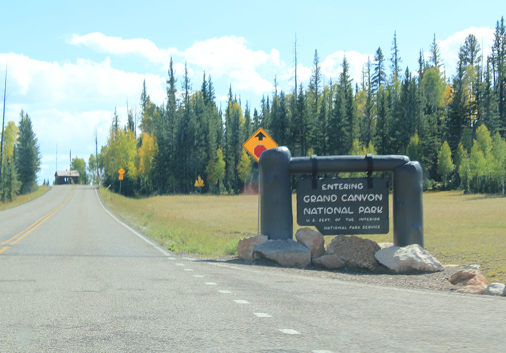
| SR 67 enters the National Park at the end of Demotte Park. 09/25/11 |
|
| SR 67 ends here, at the boundary of Grand Canyon National Park. The road is signed through the park as SR 67, but no reassurance markers exist inside the park. 09/25/11 |
|
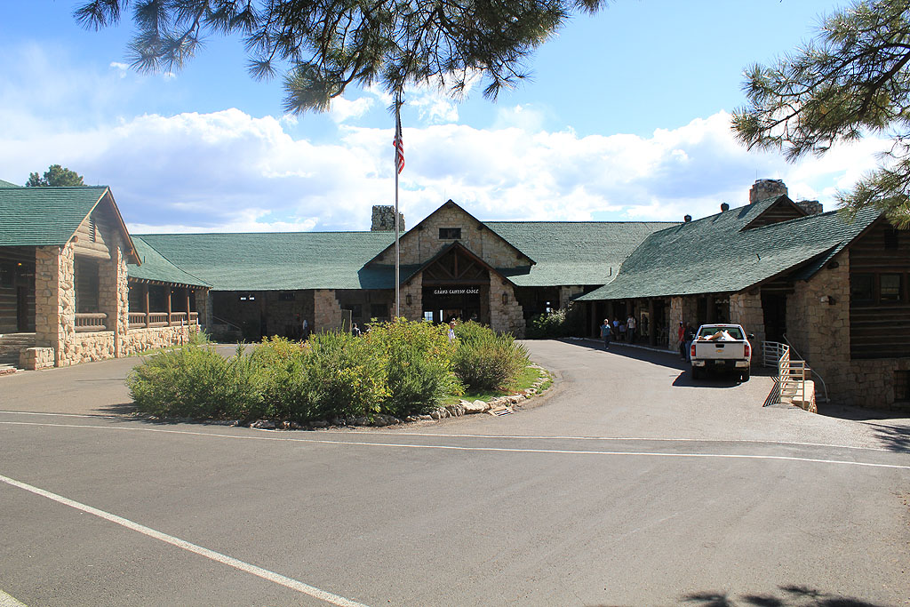
| At the end of the road in the National Park, we find the Grand Canyon Lodge. The Lodge was built in 1926 by the Union Pacific Railroad, then subsequently burned in 1932. The current lodge was completed in 1936. 09/25/11 |
|
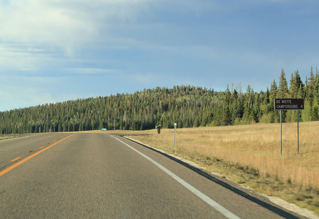
| Distance sign to the Demotte Campground (4 miles). 09/25/11 |
|
| SR 67 travels back through Demotte Park, a long valley and meadow along the top of the plateau. 09/25/11 |
|
| Turn left for the Demotte campground, run by the US Forest Service. 09/25/11 |
|
| SR 67 remains a scenic route along it's length. 09/25/11 |
|
| SR 67 now climbs to cross the low VT hill, in the distance in this photo. 09/25/11 |
|
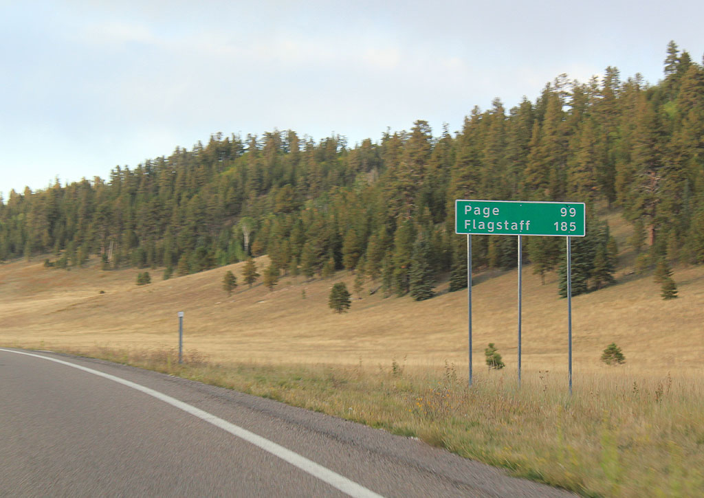
| Distance sign to Page (99 miles) and Flagstaff. 09/25/11 |
|
| SR 67 is now traveling between Pleasant Valley and Crane Lake, through Cane Canyon. 09/25/11 |
|
| This small meadow area marks the fringes of Crane Lake. 09/25/11 |
|
| SR 67 now passes below the slopes of Telephone Hill as it climbs up to the highest point on the road. 09/25/11 |
|
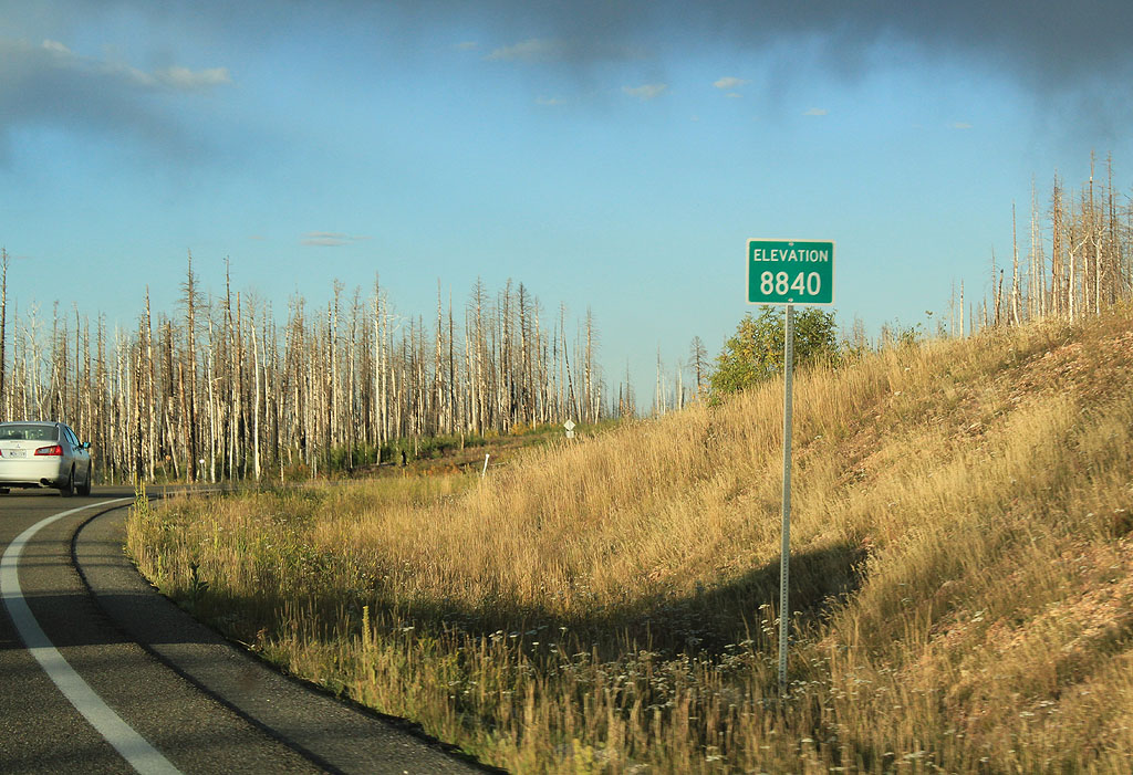
| SR 67 reaches the highest point on it's route on the sides of Telephone Hill, at 8840 feet. 09/25/11 |
|
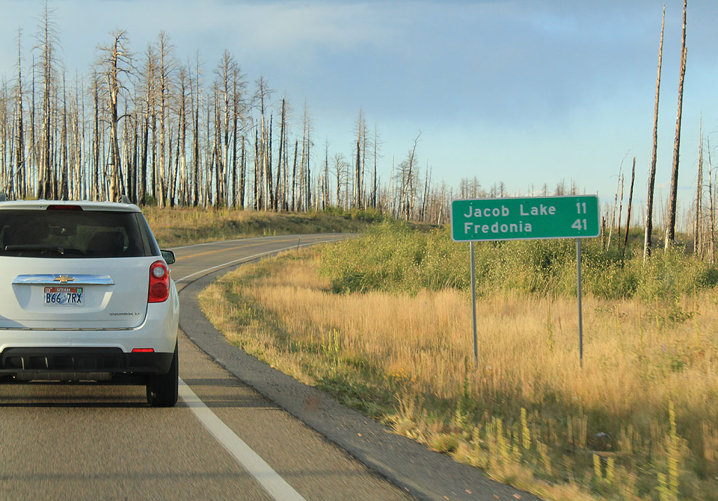
| Distance sign to Jacob Lake (11 miles) and Fredonia (41 miles). 09/25/11 |
|
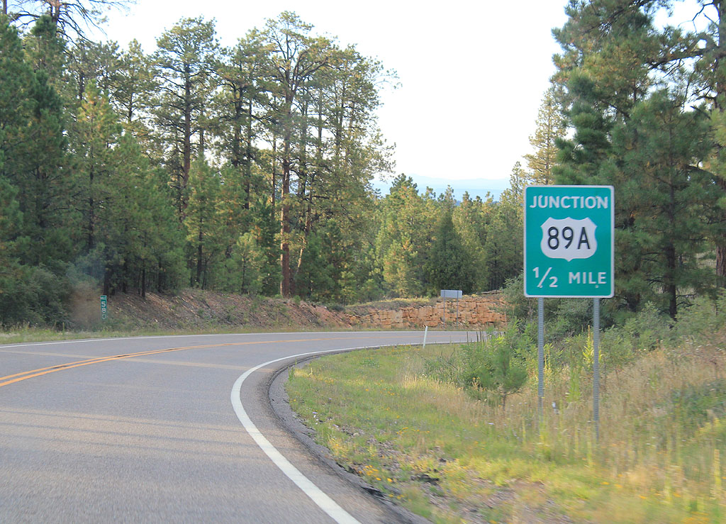
| Advance signage for US 89A, 1/2 mile. 09/25/11 |
|
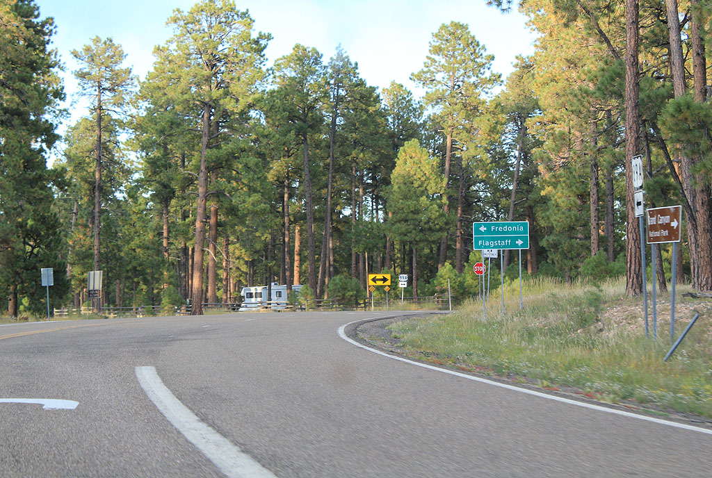
| SR 67 ends at US 89A. Turn left for Fredonia, or right for Flagstaff. There is no end shield at the junction with US 89A. 09/25/11 |
Page Updated 10-08-2011.