Measuring 19.52 miles in length, Route 93 follows Farrington Highway northwest from the end of Interstate H1 at Kapolei to Kaena Point State Park along the west shore of Oahu. Route 93 initially heads west along a four lane expressway to the Honokai Hale community and a trumpet interchange with Route 8910 (Aliinui Drive) to Ko Olina. The four lane section of Farrington Highway extends north to the census designated place of Nānākuli.
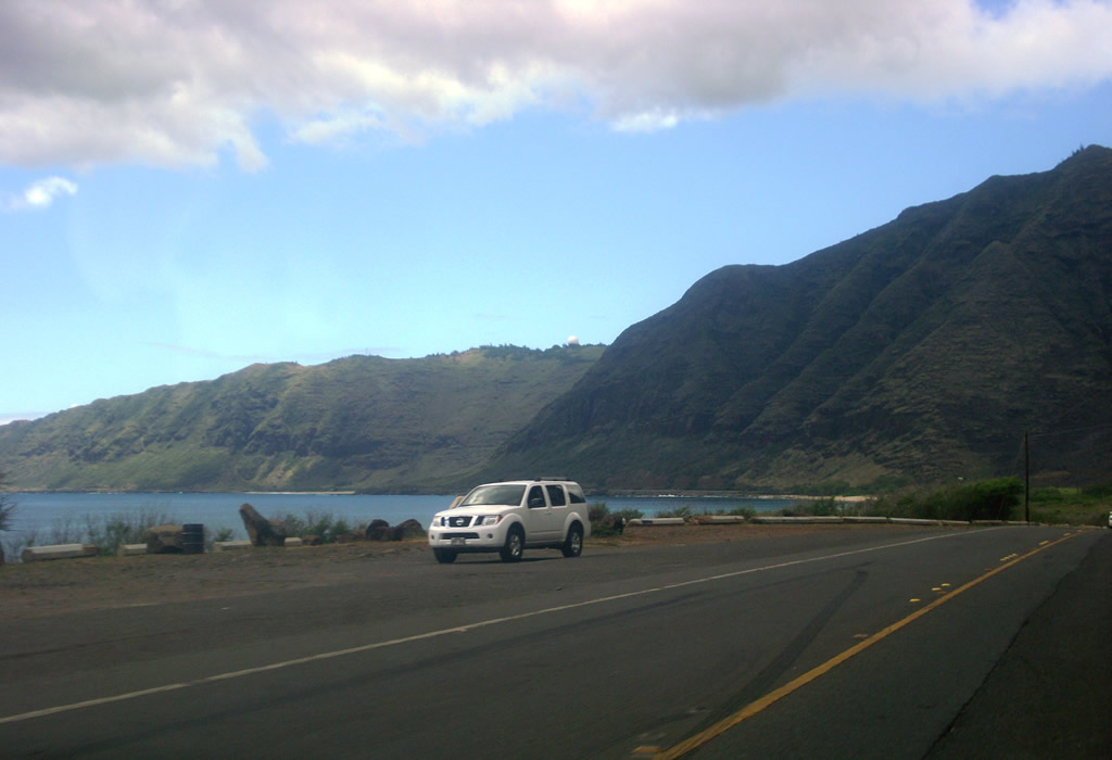
Encircling Pu'u'ohulu Kai mountain, Route 93 passes by Ma'ili Point north into the census designated place of Ma'ili. Continuing north, Farrington Highway enters Wai'anae ahead of Poka'i Bay. Route 93 reduces from a four lane boulevard to two lanes north at Makaha Valley Road (Route 8760) and Mākaha.
The last neighborhood areas along Farrington Highway line Route 93 between Kepuhi Point and western reaches of the Waianae Range. The remainder of Farrington Highway north continues along the Pacific Ocean to Makua Military Reservation and Ka'ena Point State Park. Route 93 concludes at Satellite Tracking Station Road east to Kaena Point Space Force Satellite Tracking Station.
|
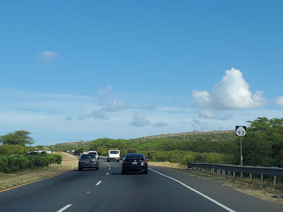
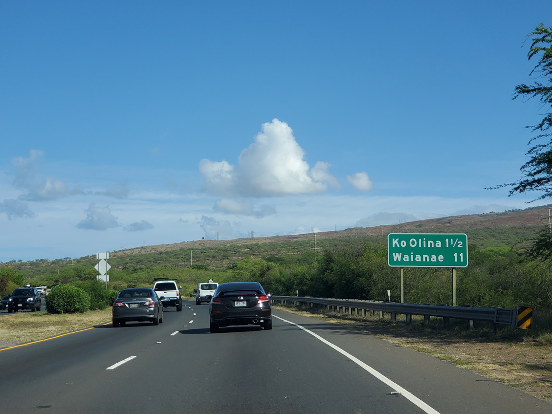
| Route 93 (Farrington Highway) continues 1.5 miles west to the Ko Olina community and 11 miles north to Waianae. 08/15/19 |
|
| The first confirming marker for Route 93 stands beyond the west end of Interstate H1. 08/15/19 |
|
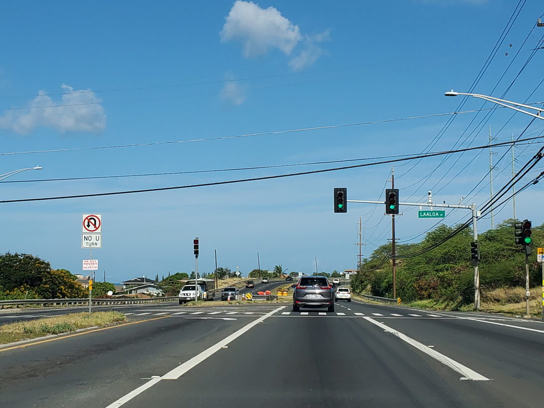
| Route 93 (Farrington Highway) ascends from I-H1 to next intersect Laaloa Street, the first of two entrances to the Honokai Hale neighborhood on the south side of the state route. 08/15/19 |
|
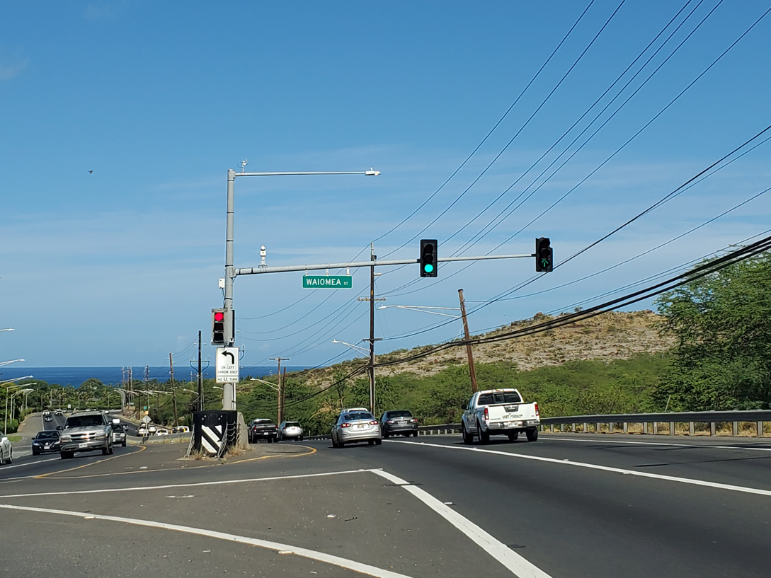
| Waiomea Street provides the second entrance to Honokai Hale from Route 93 (Farrington Highway) north. 08/15/19 |
|
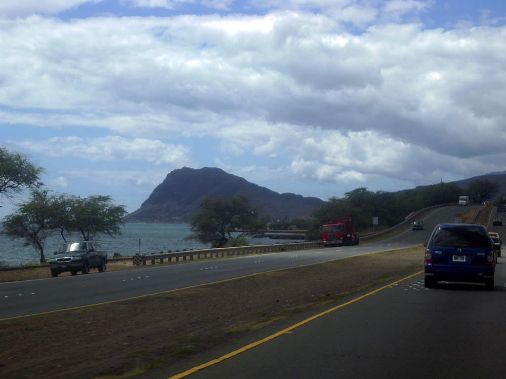
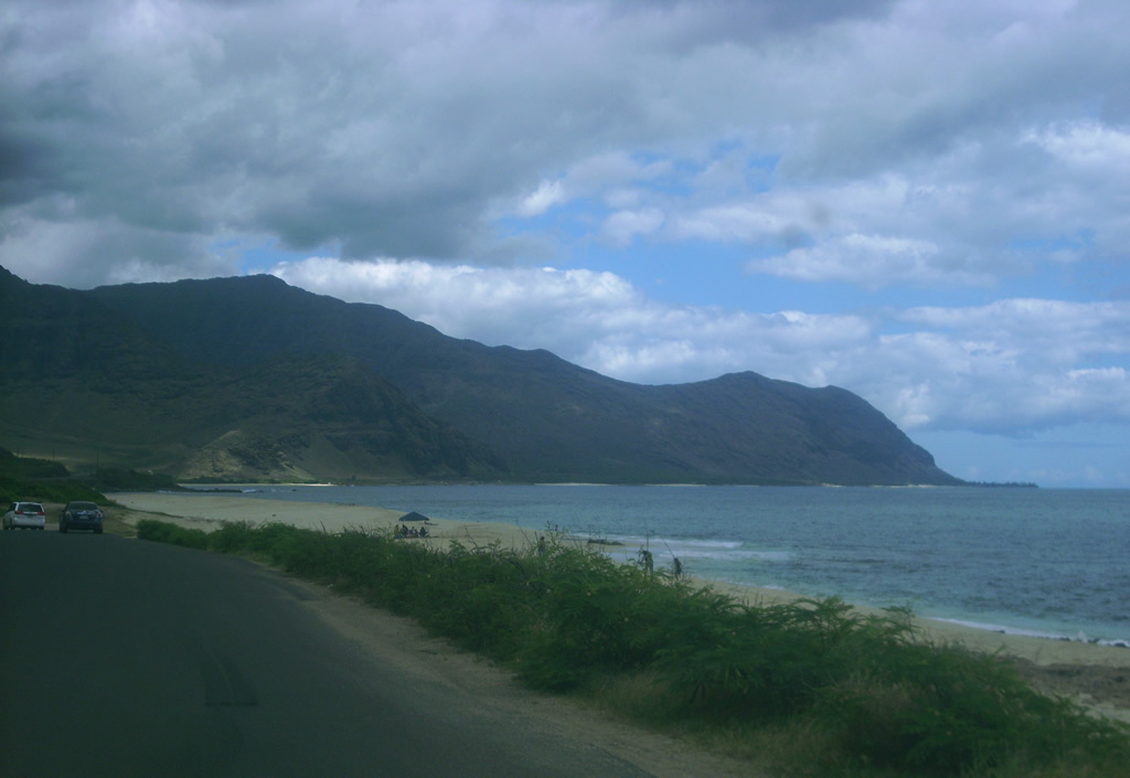
| Straddling the Pacific Ocean along Route 93 (Farrington Highway) north to Nānākuli by Limaloa Gulch. 07/29/10 |
|
| Entering the Ma'ili community along Route 93 (Farrington Highway) north near Manununu Street. 07/29/10 |
|
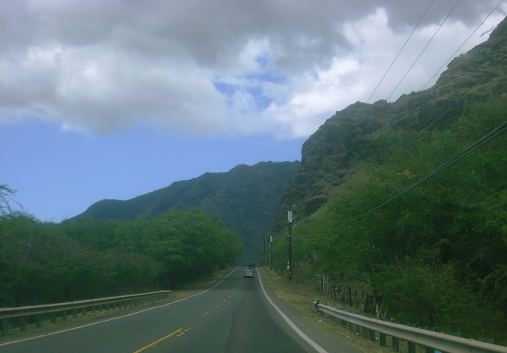
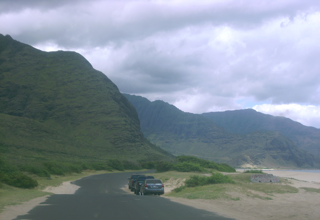
| Route 93 becomes vastly rural north of Makaha. This scene looks near Ohikilolo. 07/29/10 |
|
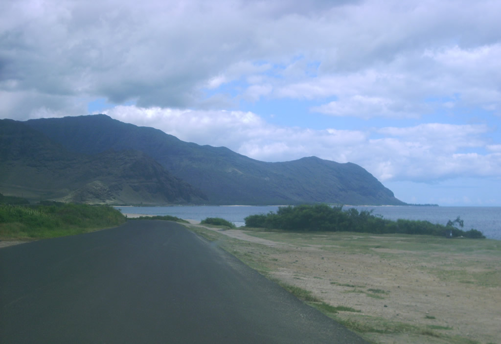
| Several pull out areas line Route 93 (Farrington Highway) along the Pacific Ocean through Ka'ena Point State Park. 07/29/10 |
|
| Once within in Ka'ena Point State Park, Farrington Highway narrows before ending at a four-wheel drive road leading northwest toward Ka'ena Point. 07/29/10 |
|
| Farrington Highway south through Ka'ena Point State Park. The road hugs the Pacific Beach coast line to the park boundary. 07/29/10 |
|
| Once beyond Satellite Tracking Station Road, Route 93 widens into a conventional two lane highway. 07/29/10 |
|
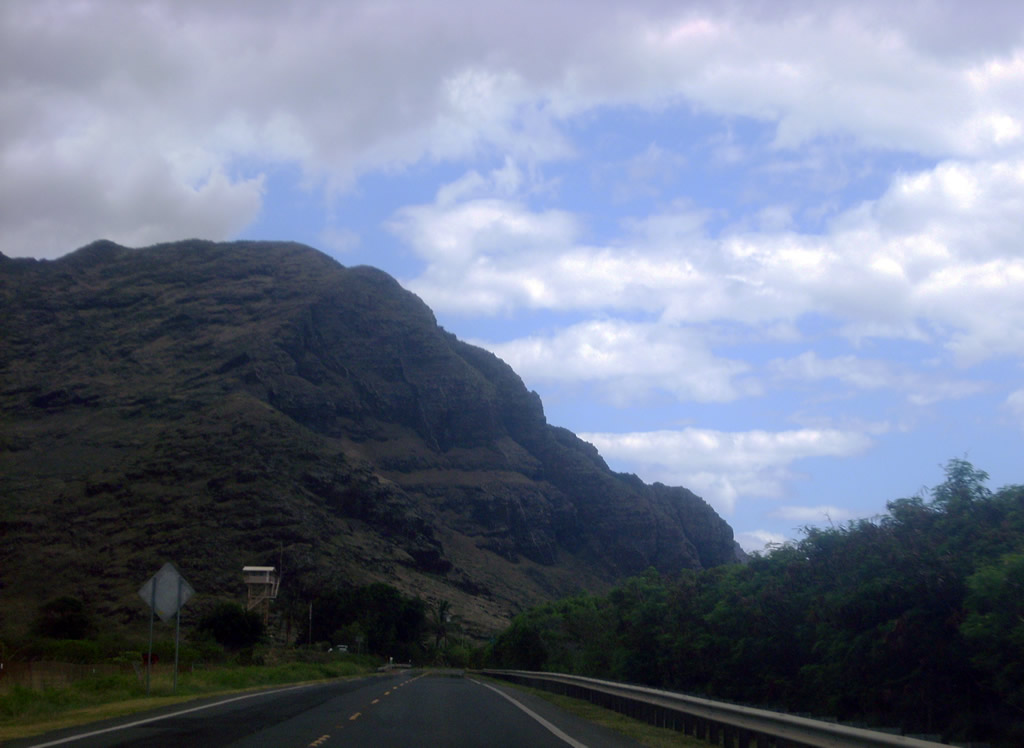
| Scenery along Route 93 (Farrington Highway) south near Makua Valley Road. 07/29/10 |
|
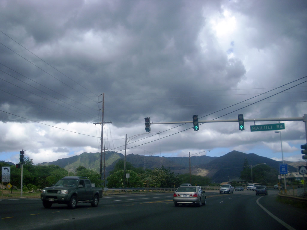
| Midway between Wai'anae and Ma'ili along Route 93 (Farrington Highway) south at Ma'ili'ili Road. Ma'ili'ili Road parallels Ma'ili'ili Stream east to Lualualei. 07/29/10 |
|
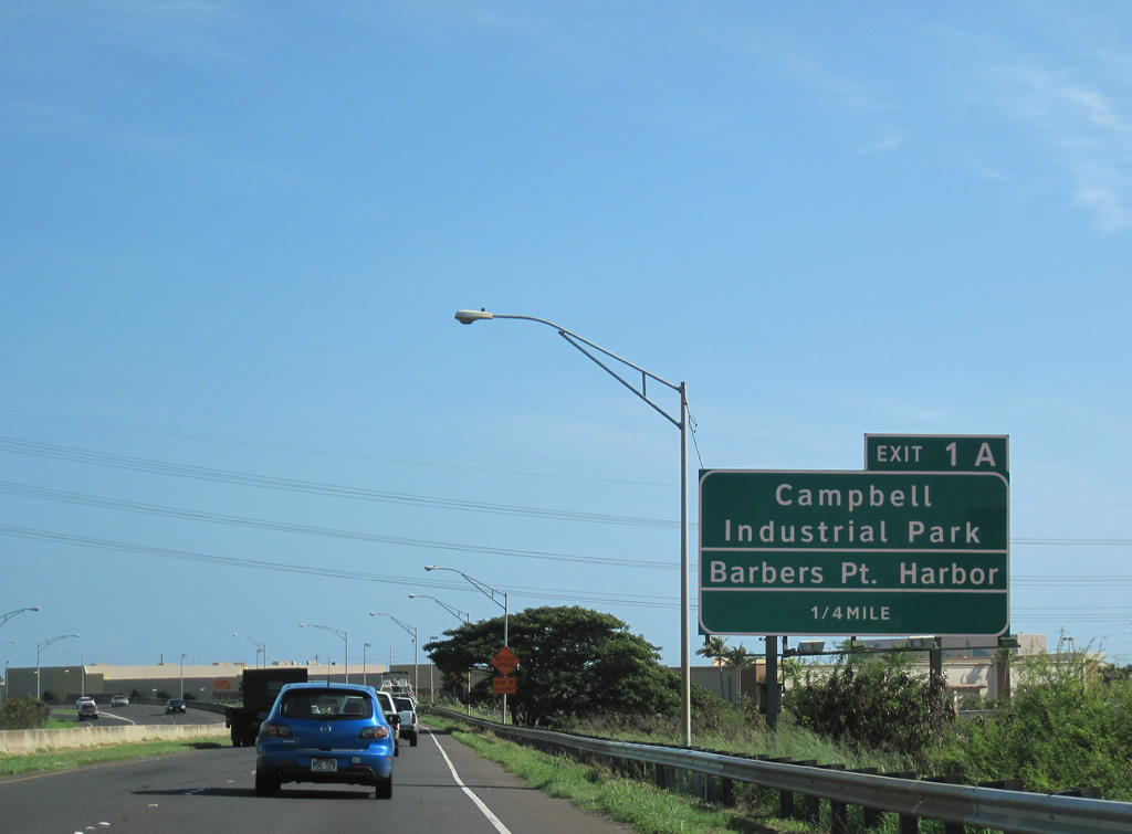
| East of Honokai Hale, Route 93 (Farrington Highway) meets the west end of Interstate H1 and Kalaeloa Boulevard (unsigned Route 95) at Exit 1 A. 01/17/11 |
|
| Route 95 (Kalaeloa Boulevard) spurs 2.70 miles southwest from I-H1 to James Campbell Industrial Park and Barbers Point Harbor along Malakole Street. Kalaeloa Boulevard extends south from the state route toward Barbers Point. 01/17/11 |
|
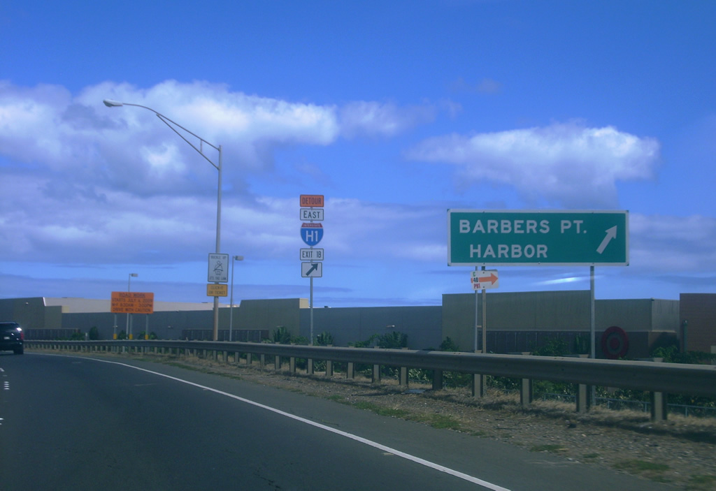
| Exit 1 A leaves Route 93 east for Kalaeloa Boulevard (Route 95) south at the beginning of Interstate H1. A separate section of Farrington Highway ties into the parclo interchange on the north side. 07/29/10 |
Page Updated 01-19-2024.