
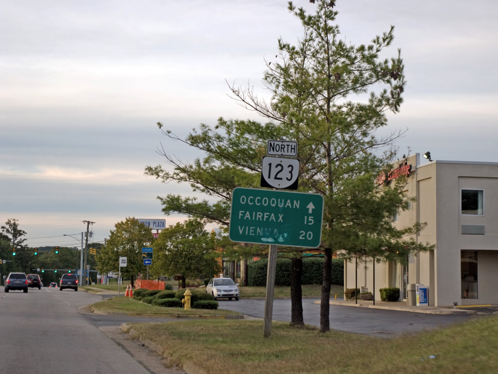
Virginia Route 123 is an arterial route encircling suburban areas of Fairfax County north from Woodbridge in Prince William County to the Chain Bridge spanning the Potomac River. SR 123 crosses the Occoquan River from Gordon Boulevard at Occoquan onto Ox Road in Lorton. Continuing along Ox Road, SR 123 heads northwest to Crosspointe, Burke Lake Park and Fairfax Station.
SR 123 enters the city of Fairfax along Chain Bridge Road north from the campus of George Mason University. Curving northeast from the exchange with Interstate 66, SR 123 reaches Oakton and then the town of Vienna along Maple Avenue. Chain Bridge Road resumes as the name of SR 123 east through Tysons, McLean and Langley. The 29.27 mile route concludes at the District of Columbia line on the Chain Bridge west of Clara Barton Parkway and the Palisades neighborhood in Washington.
 | The first shield for SR 123 (Gordon Boulevard) accompanies a distance sign between U.S. 1 (Jefferson Davis Highway) and Horner Road in Woodbridge. 10/11/09 |
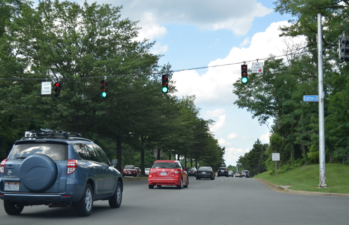 | SR 123 (Chain Bridge Road) intersects Eaton Place north of U.S. 29/50 (Fairfax Boulevard) and south of the Fairfax County line. 09/23/14 |
 | 2018-22 construction for the I-66 Outside the Beltway Express Lanes reconfigures the cloverleaf interchange with SR 123 into a parclo with signalized off-ramps. 09/23/14 |
 | SR 123 (Chain Bridge Road) south enters the independent city of Fairfax between the exchange with I-66 and Eaton Place. 09/23/14 |
Photo Credits:
- 10/11/09 by Will Weaver. 09/23/14 by AARoads.
Connect with:
Interstate 66
U.S. 1
U.S. 29
George Washington Memorial Parkway
State Route 7
Page Updated 04-21-2021.