Arizona State Route 260 travels between Cottonwood and Eagar. The route follows the Mogollon Rim between Christopher Creek (east of Payson) and Eagar, passing through Show Low, Pinetop, and McNary.
SR 260 is an amalgamation of a number of roads.
The original alignment of SR 260 was a cutoff section of road between Springerville and Eagar. This road existed from 1959 to 1966 before being renumbered as U.S. 180 Business.
|
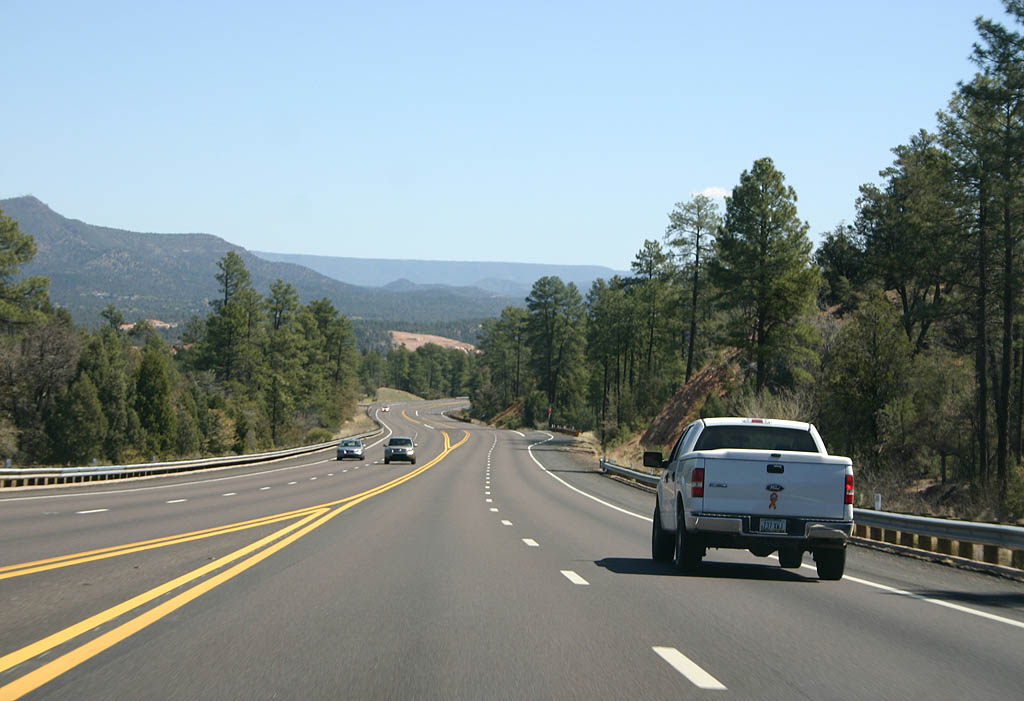
| SR 260 continues as a four lane road through Payson and Star Valley. 03/29/08 |
|
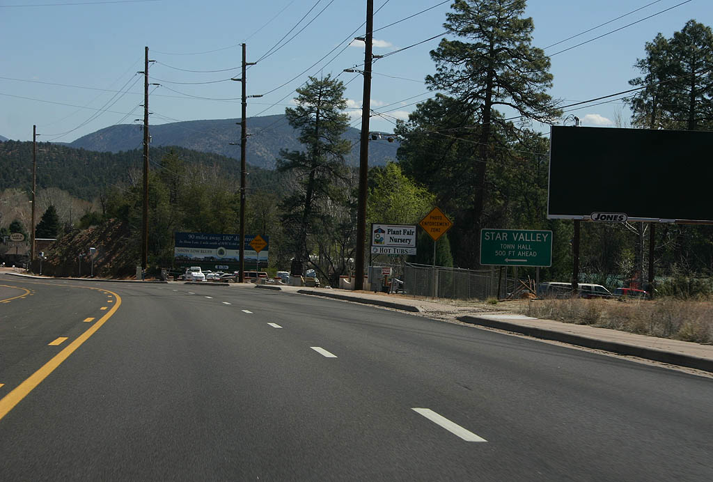
| SR 260 enters the town of Star Valley here. Star Valley is effectively a suburb of Payson, incorporated as a town in 2006. There is a photo radar setup in the background of this photo, and another photo radar setup in the middle of town. 03/29/08 |
|
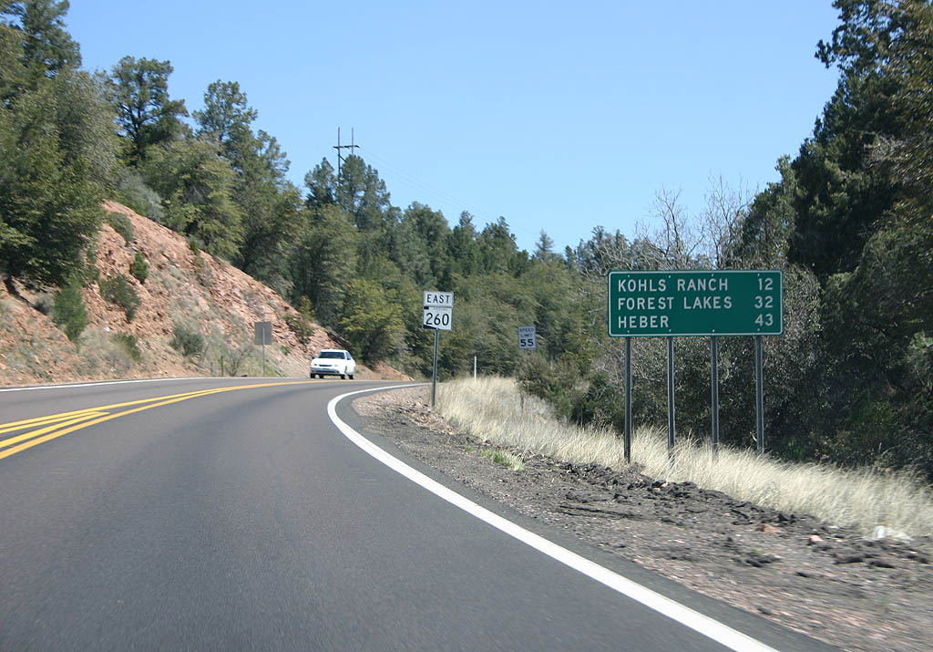
| Leaving Star Valley, SR 260 becomes two lanes. The next towns are Kohls Ranch (12 miles), Forest Lakes (32 miles) and Heber (43 miles). 03/29/08 |
|
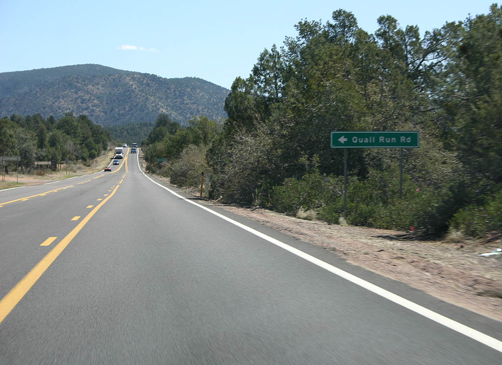
| Turn left for Quail Run Road. 03/29/08 |
|
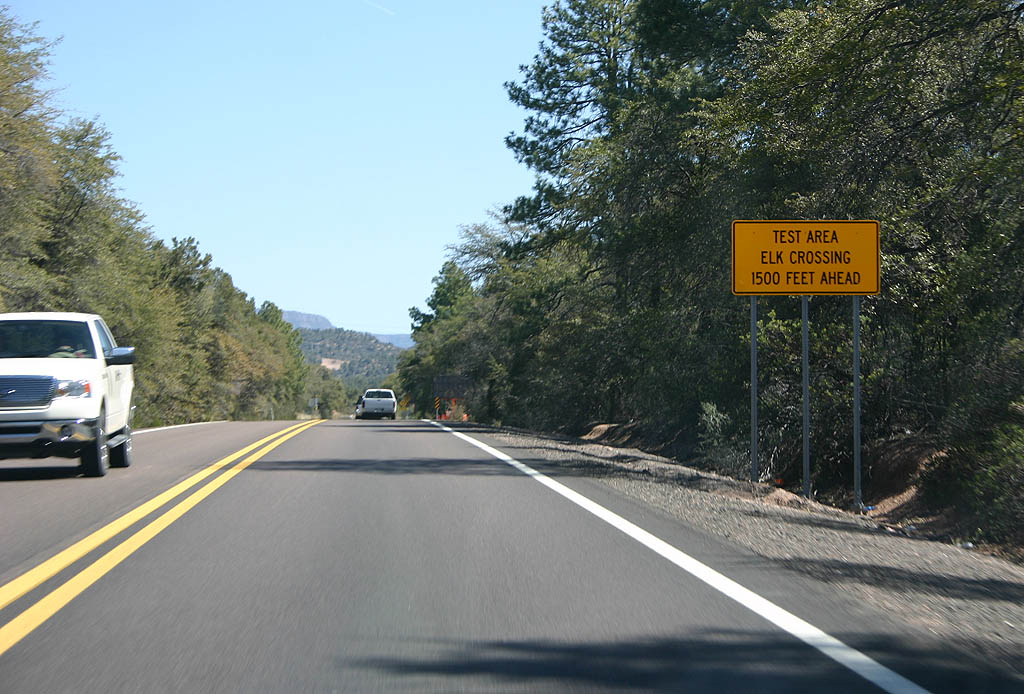
| SR 260 has had a disproportionate amount of elk and motorist collisions. In 2006, an elk crossing test system was installed. 03/29/08 |
|
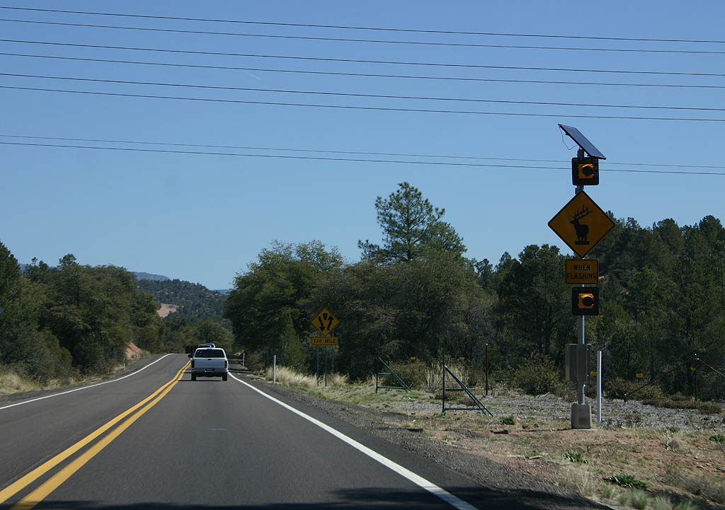
| The elk crossing test system includes several hundred feet of electrified fencing leading to a designated crossing point. Cameras are focused on the area to activate the warning lights, and alert drivers to slow down. Plans are in place to install an enhanced system as road improvements continue. 03/29/08 |
|
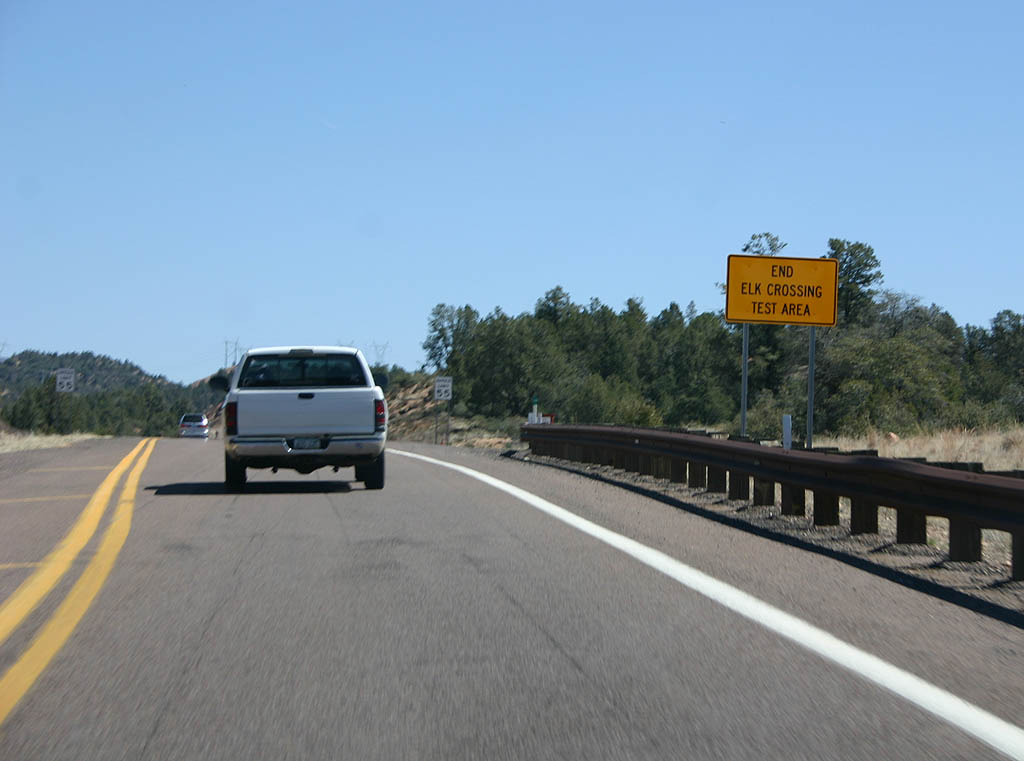
| The elk crossing test area ends here. 03/29/08 |
|
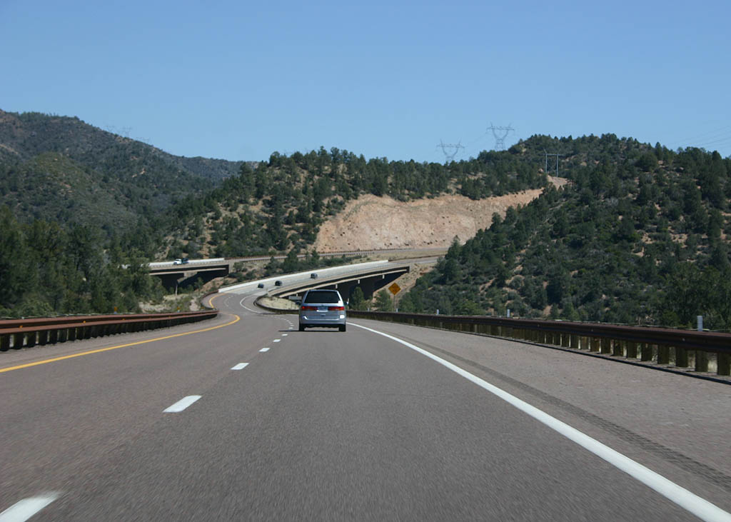
| SR 260 widens out at Preacher Canyon. This section of road was widened in 2001. 03/29/08 |
|
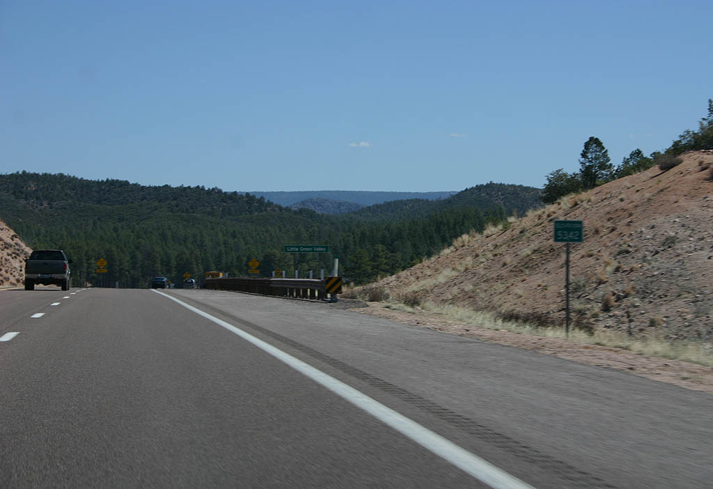
| SR 260 crosses a low (5342 foot) summit before entering Little Green Valley. 03/29/08 |
|
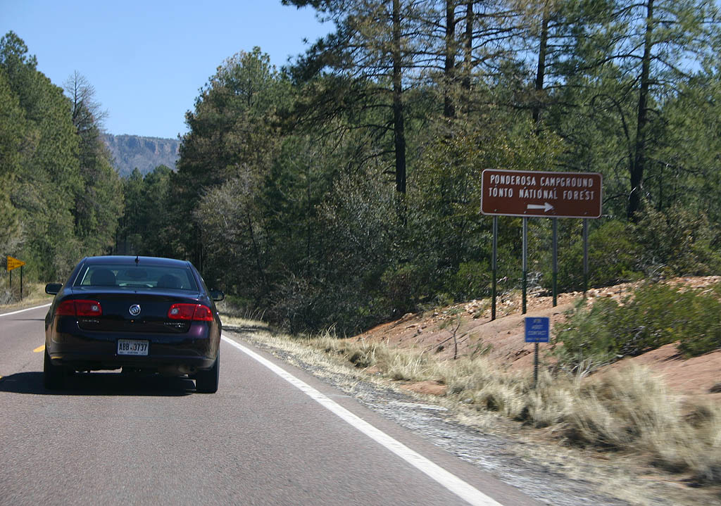
| Turn right for the Ponderosa Campground in the Tonto National Forest. SR 260 will be in National Forest land all the way to Heber. 03/29/08 |
|
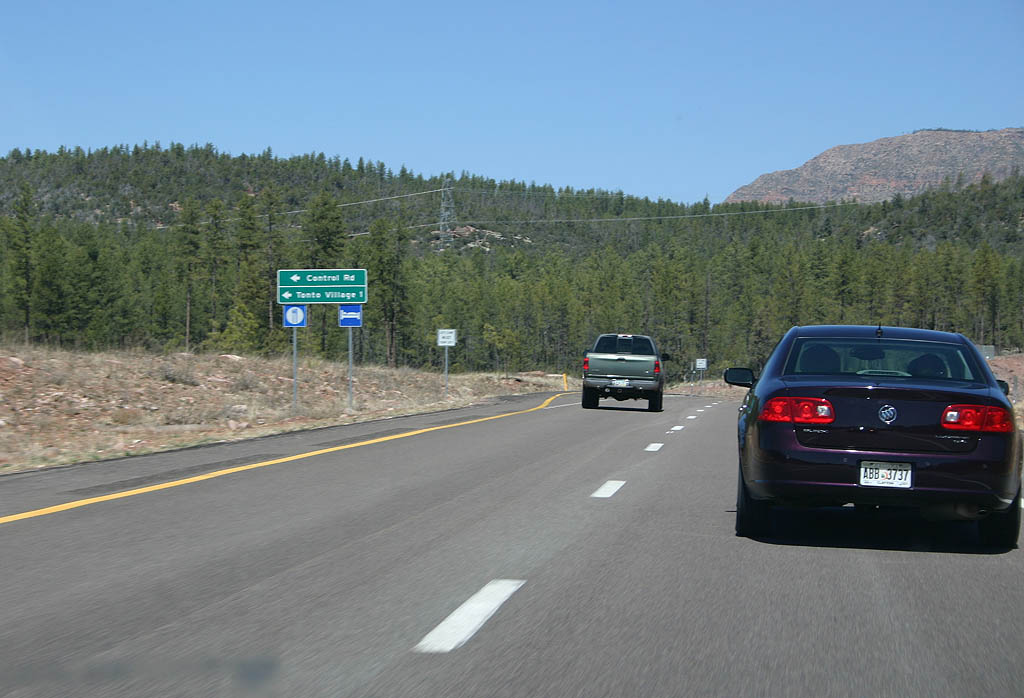
| SR 260 now approaches Kohls Ranch. This section of highway was widened in 2006. Turn left to reach Tonto Village. 03/29/08 |
|
| Reassurance marker for SR 260 eastbound. 03/29/08 |
|
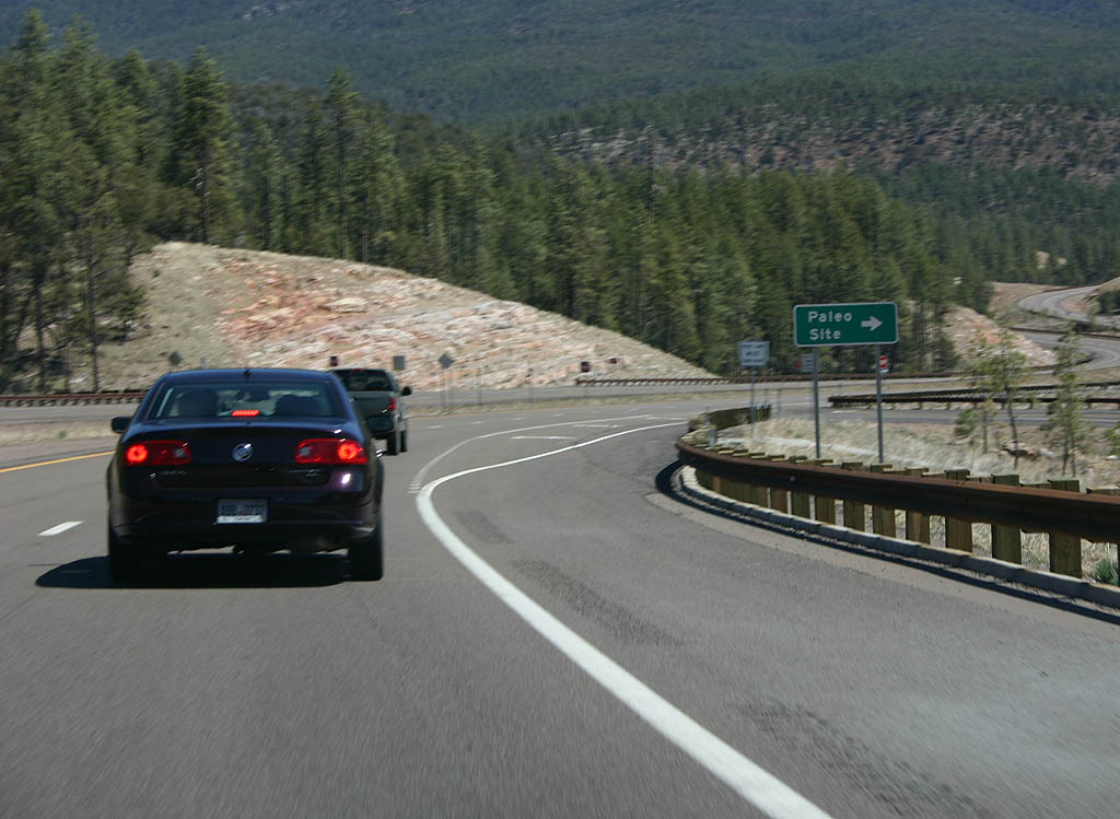
| Turn right to reach the Paleo Site. 03/29/08 |
|
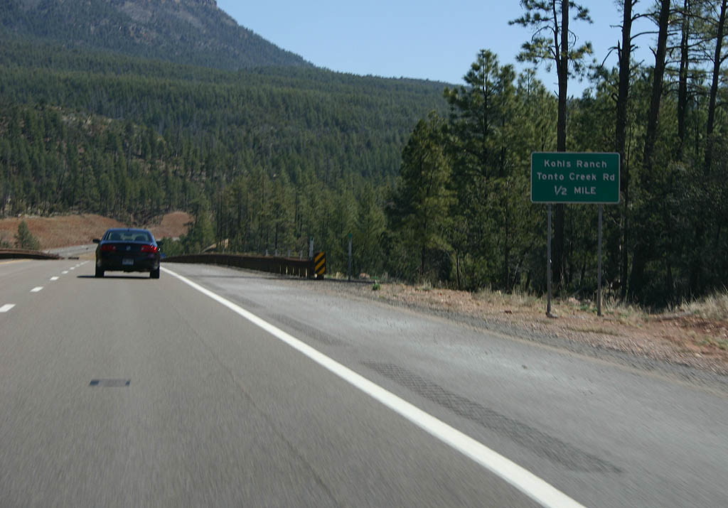
| Advance signage for Kohls Ranch and Tonto Creek Road, 1/2 mile. The Kohls Ranch road is a former alignment of SR 260, prior to widening. 03/29/08 |
|
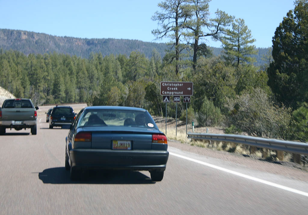
| Turn right for the Christopher Creek Campground. The campground is part of the Tonto National Forest. 03/29/08 |
|
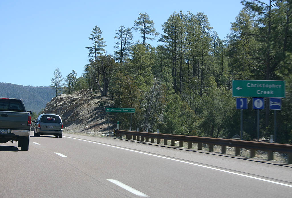
| The small town of Christopher Creek is accessed by turning left here. Christopher Creek is located along the former alignment of SR 260, bypassed in 2004. 03/29/08 |
|
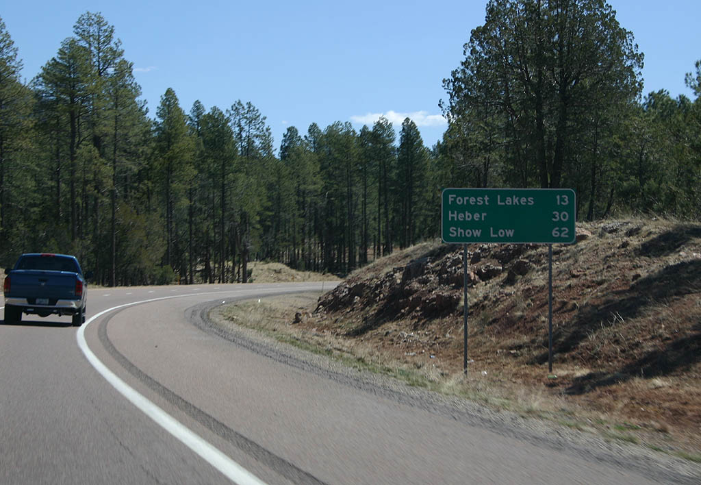
| Distance sign to Forest Lakes (13 miles), Heber (30 miles) and Show Low (62 miles). 03/29/08 |
|
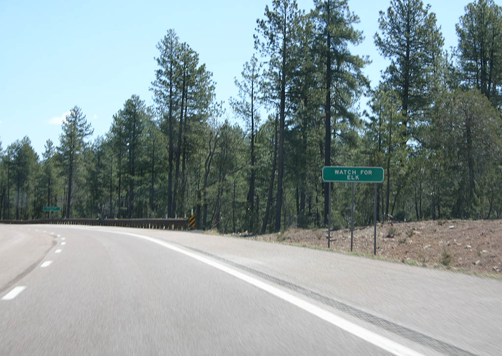
| SR 260 continues to pass through Elk country all the way to U.S. 191. 03/29/08 |
|
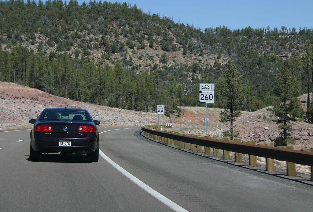
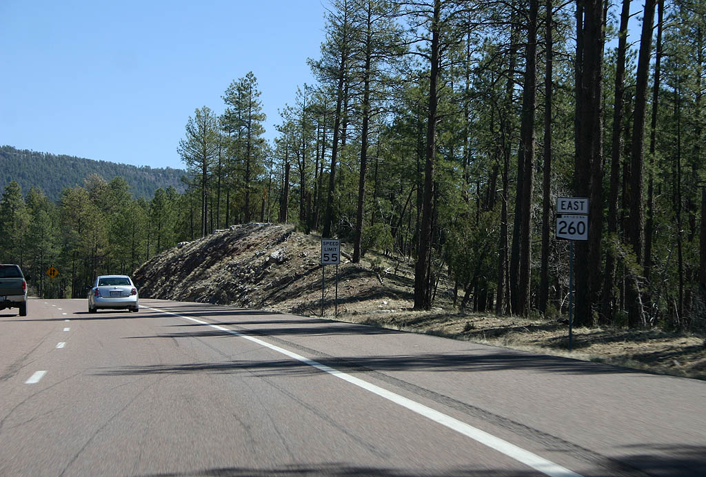
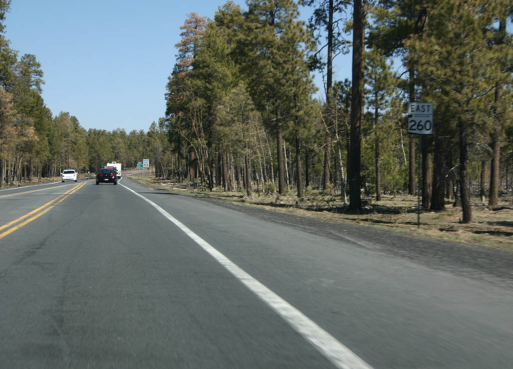
| Reassurance marker for Eastbound SR 260. The speed limit drops to 55 MPH in preparation for the climb up the Mogollon Rim. 03/29/08 |
|
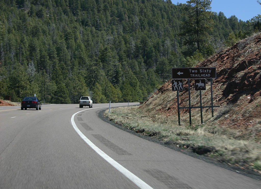
| Turn left for the Two Sixty trailhead. This trailhead, named for the road, serves numerous trails along the Mogollon Rim. 03/29/08 |
|
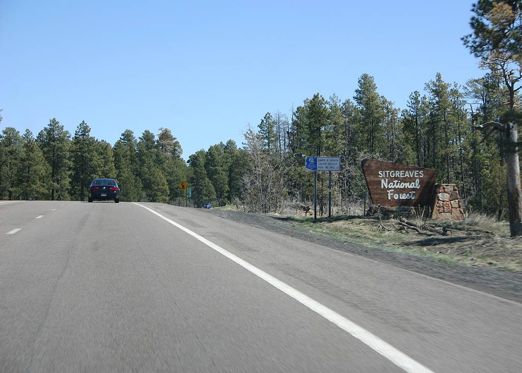
| At the top of the Mogollon Rim, SR 260 leaves the Tonto National Forest and enters the Sitgreaves National Forest. 03/29/08 |
|
| SR 260 meets Forest Road 300 here. Forest Road 300 is a major access road that travels towards Woods Canyon Lake and Bear Canyon Lake, as well as providing access to the Mogollon Rim. The road is paved to Woods Canyon Lake, but unpaved after that point. 03/29/08 |
|
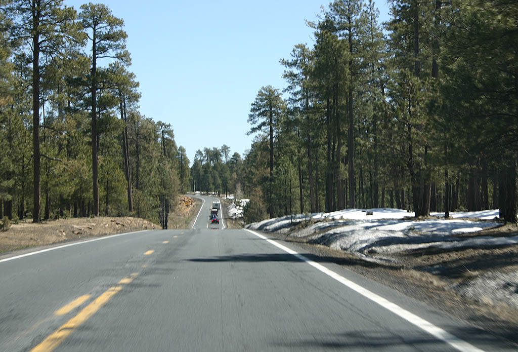
| SR 260 narrows to two lanes once it reaches the Mogollon Rim. 03/29/08 |
|
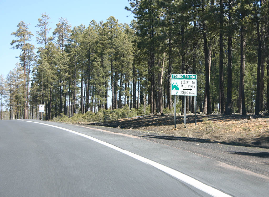
| Turn right to reach the Forest to Tall Pines scenic road as well as Young. This is the northern end of the road that begins as SR 288, a primarily dirt road from Roosevelt Lake to Young. SR 288 used to meet SR 260 between 1971 and 1983. 03/29/08 |
|
| Reassurance marker for Eastbound SR 260, east of Young Road. 03/29/08 |
|
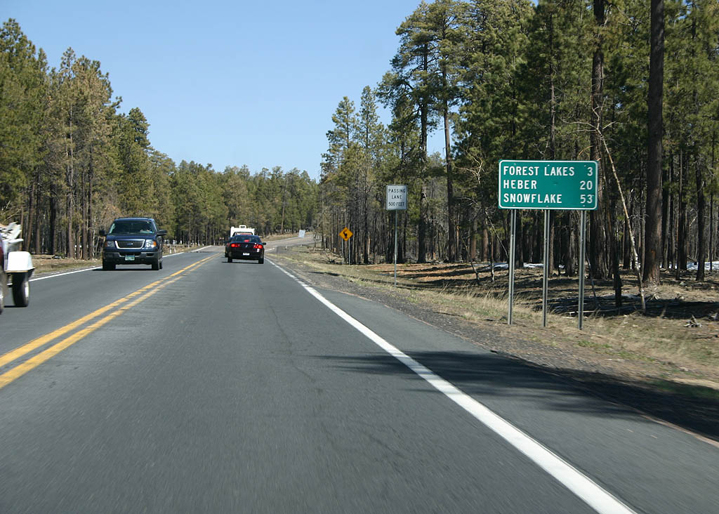
| Distance sign to Forest Lakes (3 miles), Heber (20 miles), and Snowflake (53 miles along SR 277). 03/29/08 |
|
| SR 260 enters the town of Forest Lakes here. Forest Lakes, like Heber and Overgaard, are primarily cabin communities catering to Phoenix residents. 03/29/08 |
|
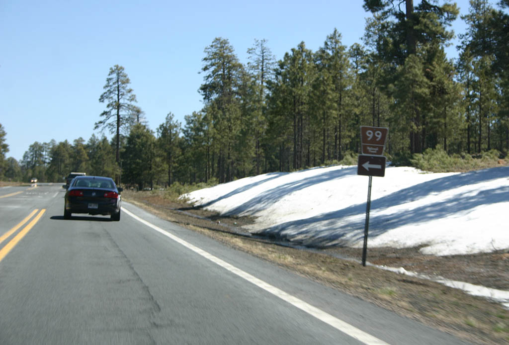
| Turn left for Forest Road 99. Forest Road 99 is one of the major north-south routes through the Sitgreaves National Forest. 03/29/08 |
|
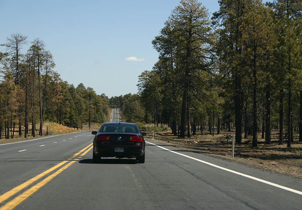
| This is a typical view along SR 260 eastbound. Arizona DOT has been progressively widening this road to account for higher traffic volume as the population of Arizona grows. 03/29/08 |
|
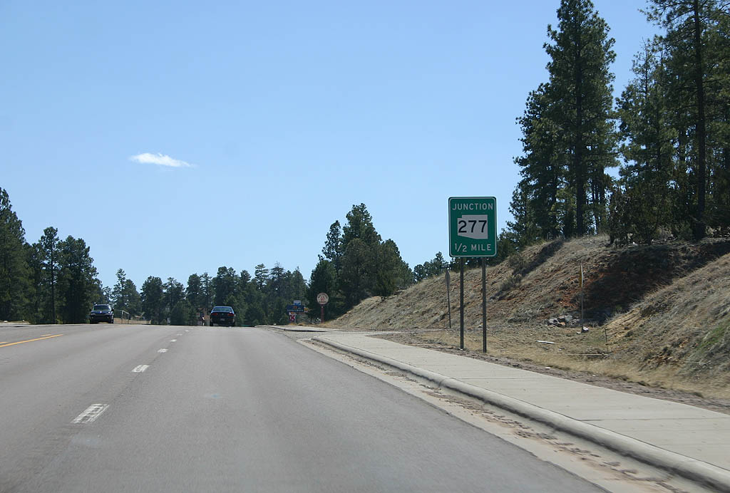
| Advance signage for SR 277, 1/2 mile. 03/29/08 |
|
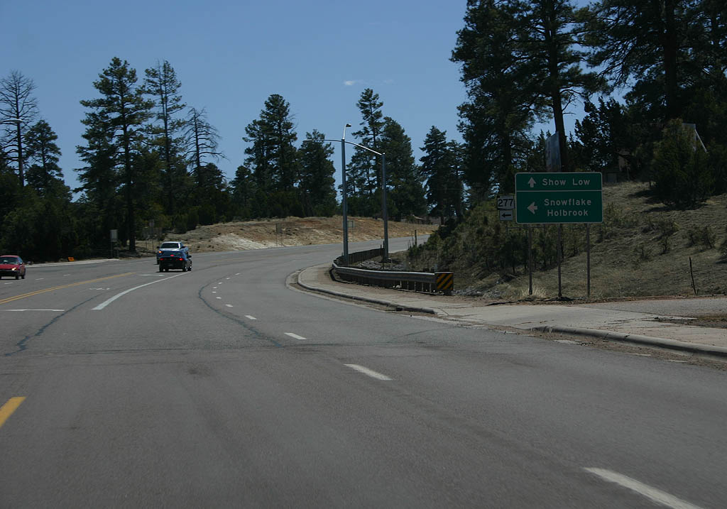
| Continue on SR 260 to reach Show Low, or turn left on SR 277 to reach Snowflake and Holbrook. 03/29/08 |
|
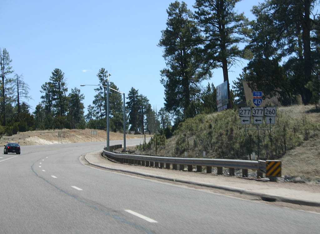
| This unusual sign gantry includes SR 377 and Interstate 40. While SR 377 does not meet SR 260, the road is a major route to reach Interstate 40 in Holbrook, hence the sign on this gantry. 03/29/08 |
|
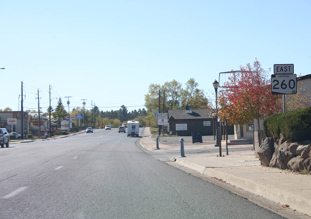
| Now heading south, SR 260 resumes as an independent route inside the city. 10/18/09 |
|
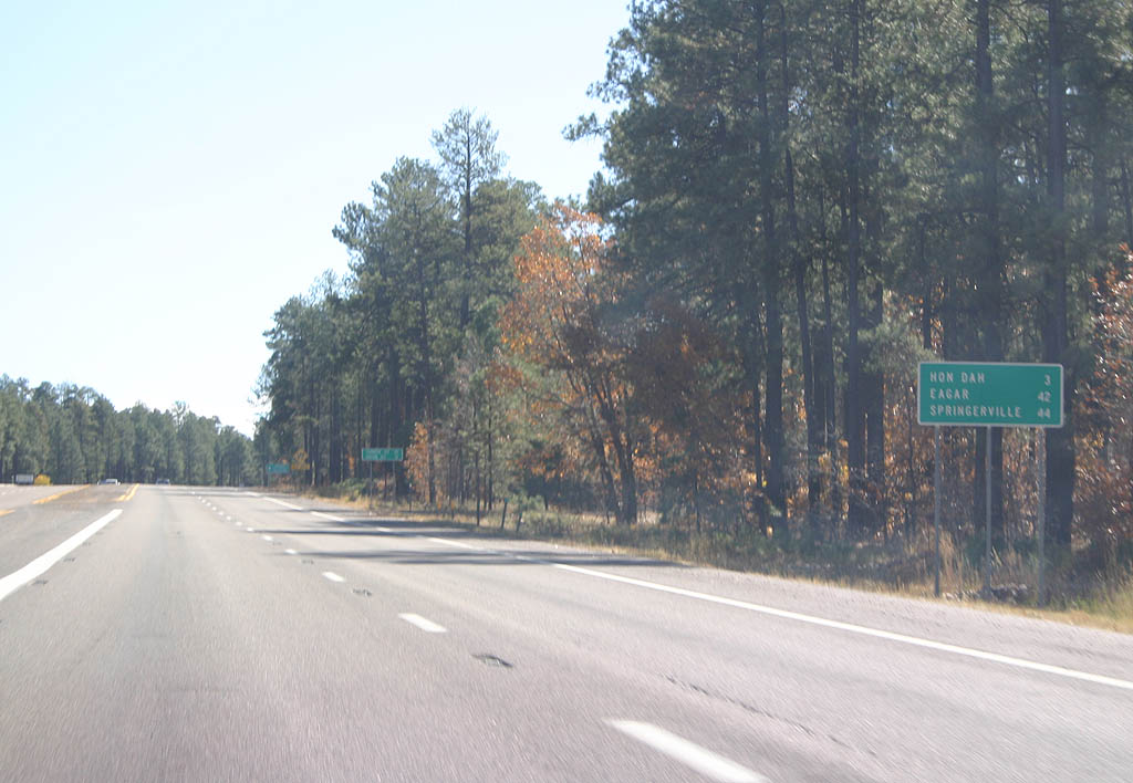
| Leaving Pinetop, we see a distance sign for Hon Dah (3 miles), Eagar (42 miles) and Springerville (44 miles). 10/18/09 |
Page Updated 07-18-2010.