
SR 682 (Pinellas Bayway) connects Isla Del Sol in St. Petersburg with St. Pete Beach to the north. Construction visible was for the Tierra Verde Bridge along SR 679 (Pinellas Bayway South south to Tierra Verde. 12/31/19
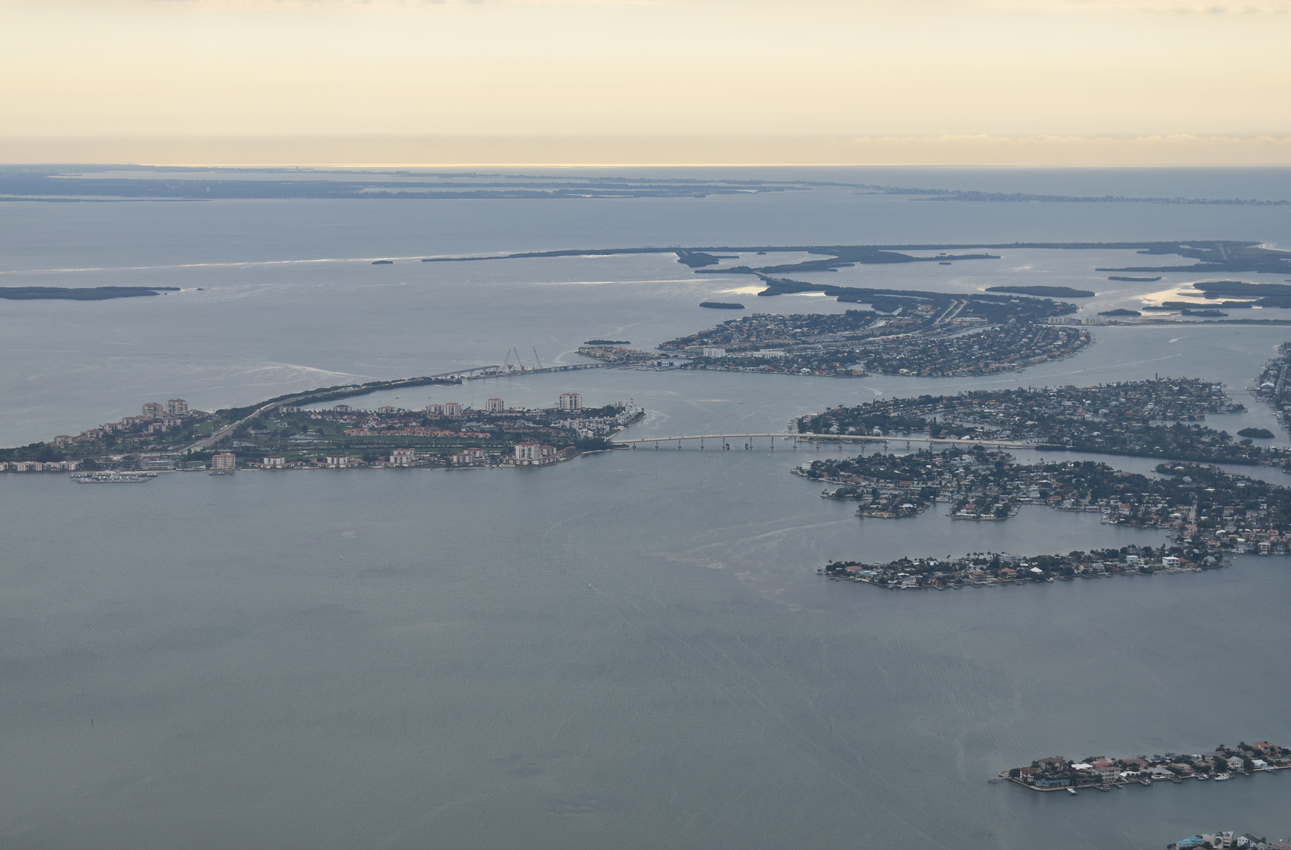
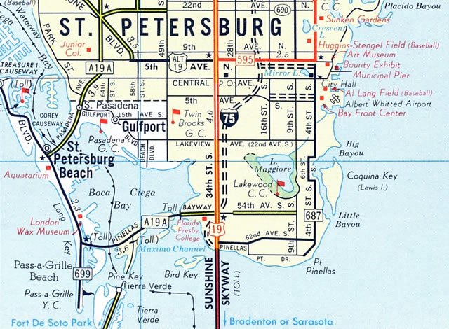
State Road 682 comprises a 3.72 mile long route from SR 699 (Gulf Boulevard) at St. Pete Beach to an interchange with Interstate 275 and U.S. 19 at 34th Street S in south St. Petersburg. The route follows the tolled Pinellas Bayway, a causeway and series of bridges linking the barrier island with Isla Del Sol, Bayway Isles and the Eckerd College area. Tolls are levied in the westbound direction ahead of the Boca Ciega Bay Channel bridge and eastbound ahead of the Intracoastal Waterway bridge.
SR 682 (Pinellas Bayway) originally reduced to two lanes across the Intracoastal Waterway along a draw bridge. The 1962-built span was replaced with a fixed high-level bridge as part of a $41 million project starting in 2011.1 The new span opened initially for eastbound traffic in March 2013, with westbound shifting over by mid-April 2013. Demolition of the old bridge commenced afterwards, followed by work on the second half of the crossing.2 Opened on October 17, 2014, the new Pinellas Bayway carries four overall lanes with full outside shoulders and a pedestrian/bicycle walkway along the eastbound side.1
The Pinellas Bayway was originally designated as part of SR A19A, a loop west from U.S. 19 between south St. Petersburg and Largo. SR A1A used all of the Bayway, Gulf Boulevard (SR 699) north from Pass-a-Grille Beach to St. Pete Beach, Corey Causeway and Pasadena Avenue (SR 693) to South Pasadena, and 66th Street (SR 693) north through west St. Petersburg, Pinellas Park and U.S. 19 north of Ulmerton Road (SR 688). The designation was retired by the late 1970s.
 East East |
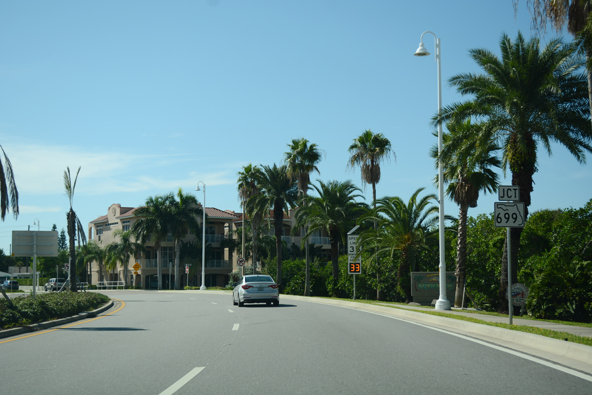
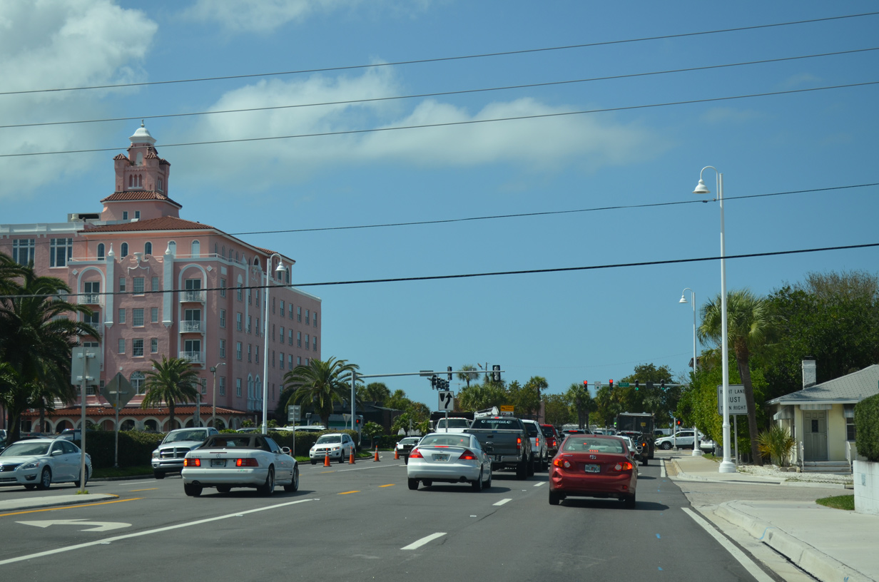
 | SR 682 commences east along Pinellas Bayway from SR 699 (Gulf Boulevard) and El Centro Street by the Don Cesar hotel. The median landscaping was removed and street lights changed with decorative posts by 2014. 01/06/06 |
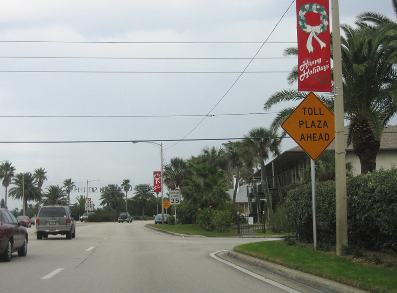 | The toll plaza for SR 682 (Pinellas Bayway) eastbound follows Granada Street along Maritana Drive. 01/01/06 |
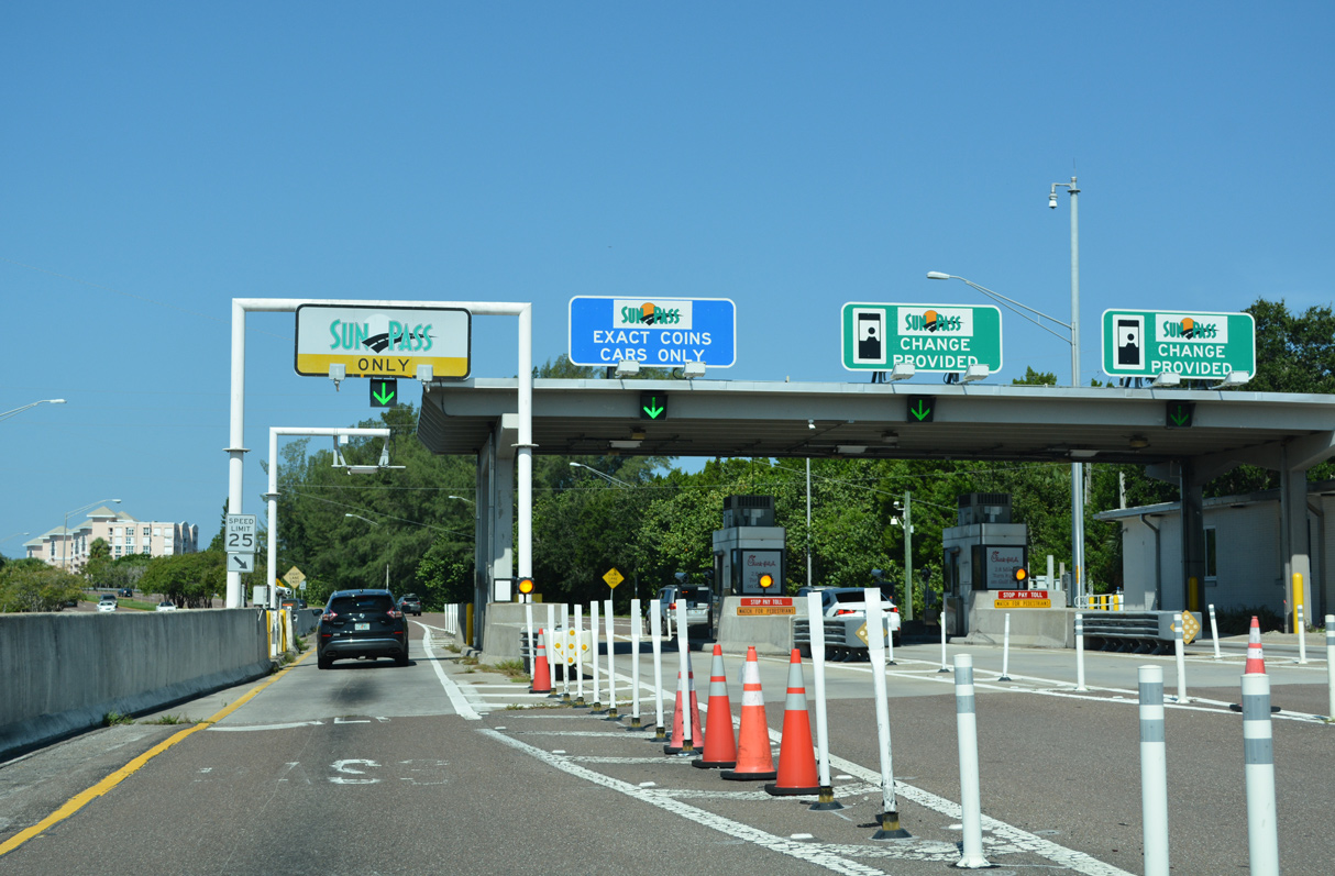
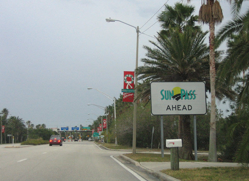 | Tolls are charged along the Pinellas Bayway eastbound for the bridge spanning the Gulf Intracoastal Waterway (ICWW). 01/01/06 |
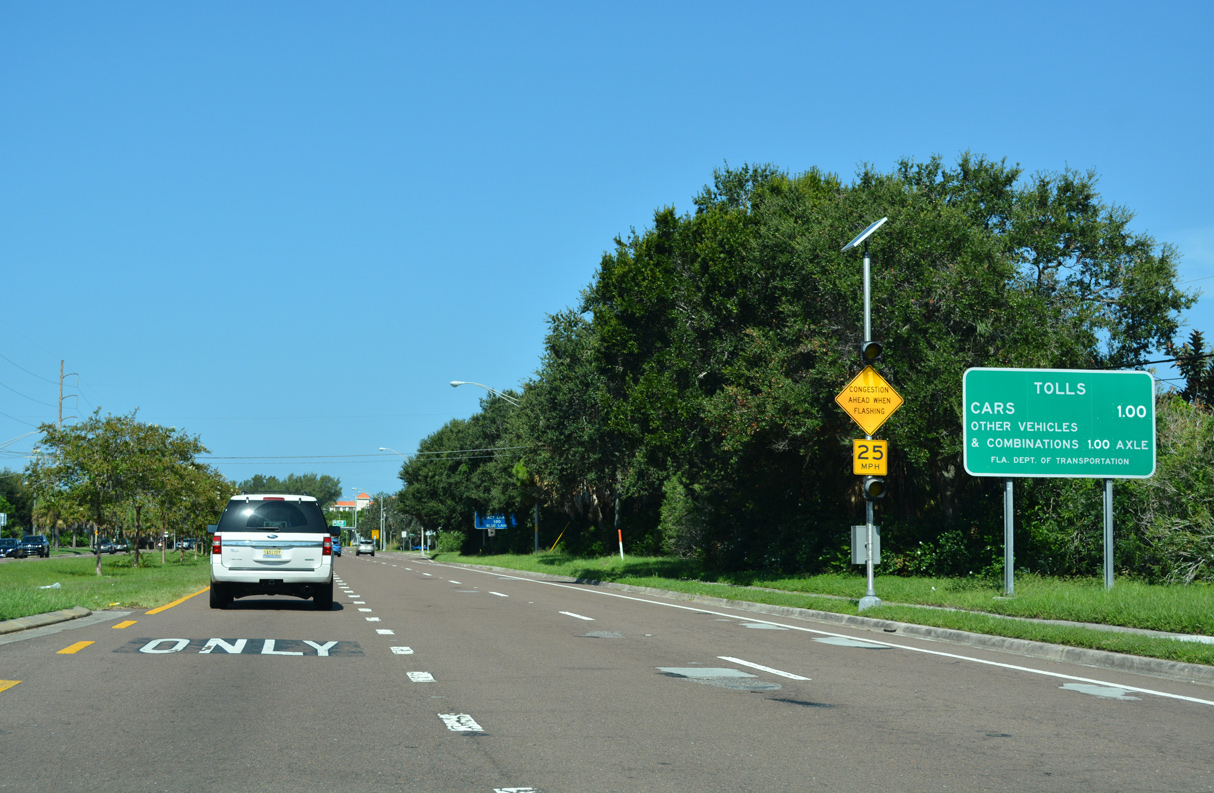
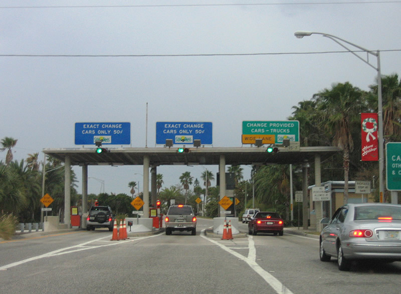 | Pinellas Bayway east enters a three lane toll plaza beyond Granada Street. The number one lane was converted into a Sunpass lane during the replacement of ICWW Bridge in 2014. 01/01/06 |
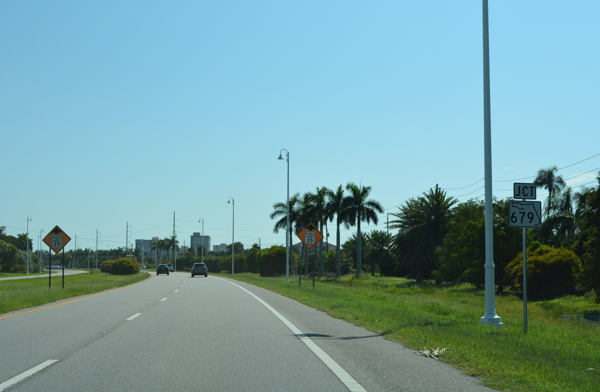
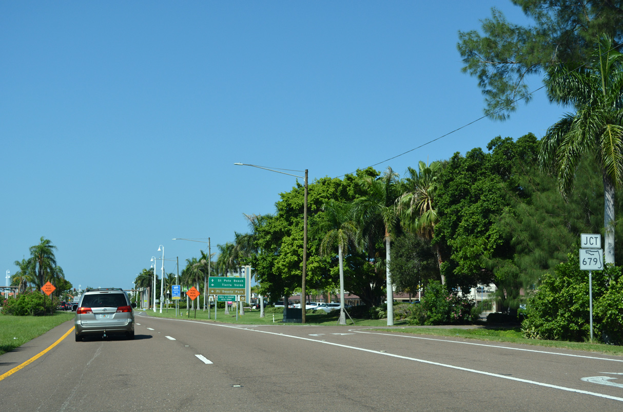
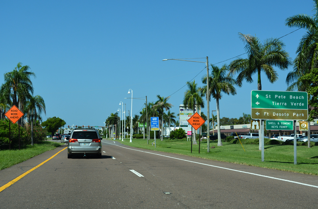
 | SR 679 (Pinellas Bayway South) joins SR 682 (Pinellas Bayway) on Isle Del Sol with the community of Tierra Verde to the south. 08/20/22 |
 | Pinellas Bayway S (SR 679/CR 679) extends 6.55 miles south to Fort DeSoto Park. Facing Edgmont Channel, Fort DeSoto lies at the southwest end of Mullet Key. 08/20/22 |
 | SR 679 spans the Gulf Intracostal Waterway over a high rise bridge completed in 2021 and Bunces Pass over a toll bridge onto Mullet Key. 08/20/22 |
 | Advancing east from SR 679 (Pinellas Bayway South), SR 682 intersects Escondida Boulevard S and La Puerta Del Sol Boulevard S to adjacent Boca Ciega Bay condominium complexes. Absent here is a confirming marker. 08/20/22 |
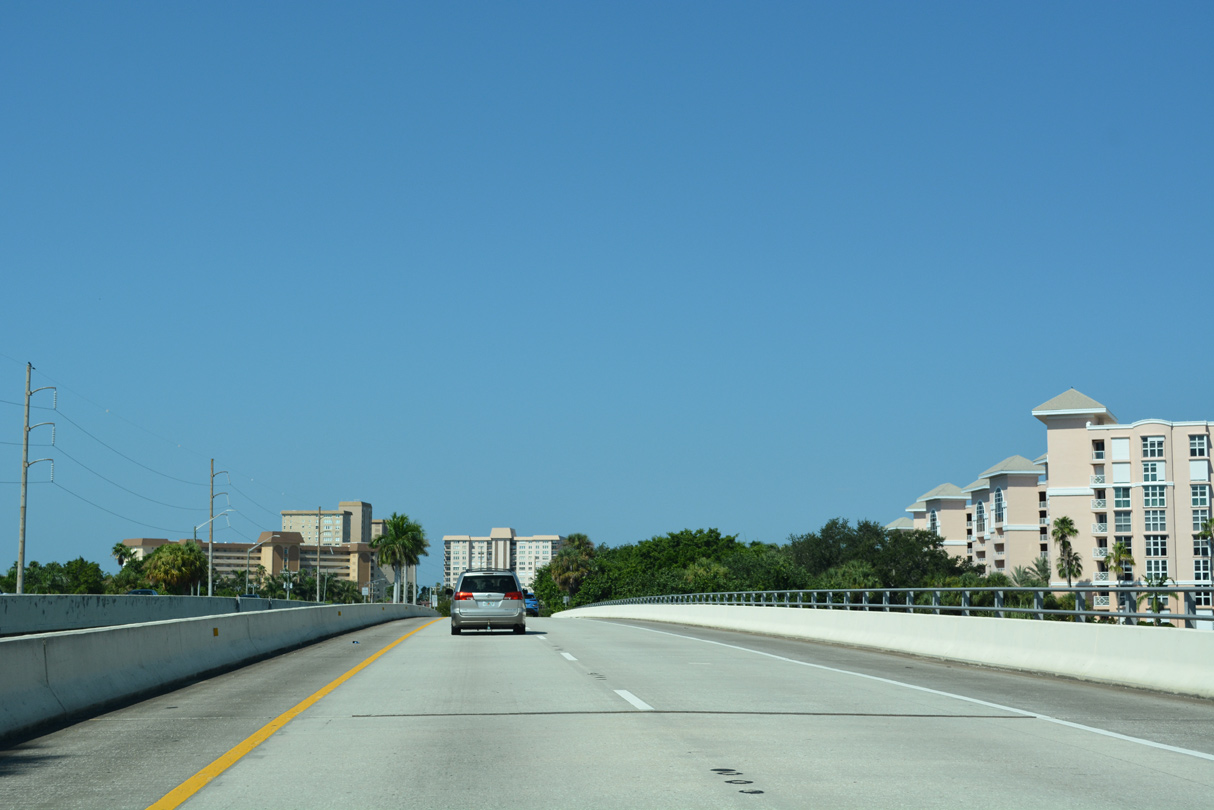
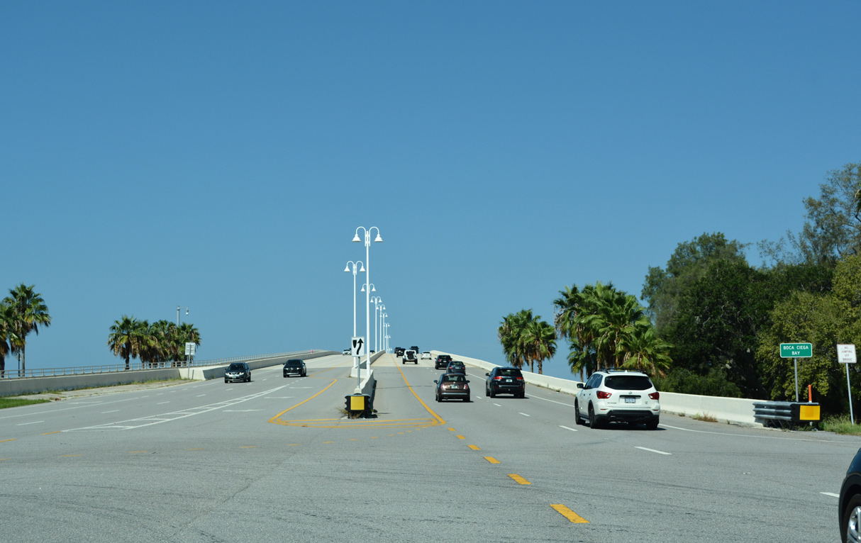
 | Spanning the inlet between Isle Del Sol and Bayway Isles on SR 682 (Pinellas Bayway) east. 08/20/22 |
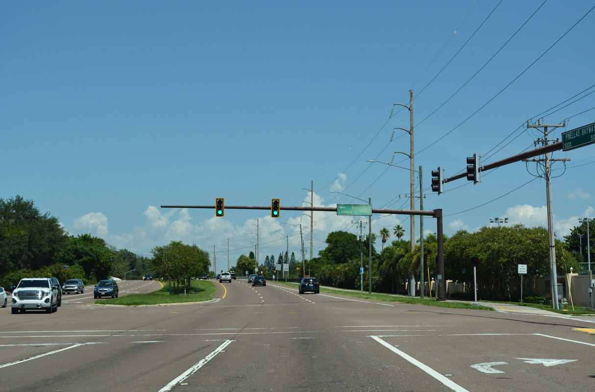 | Leeland Street spurs south from SR 682 (Pinellas Bayway) at Bacopa Lane S to the Bayway Isles community. 08/20/22 |
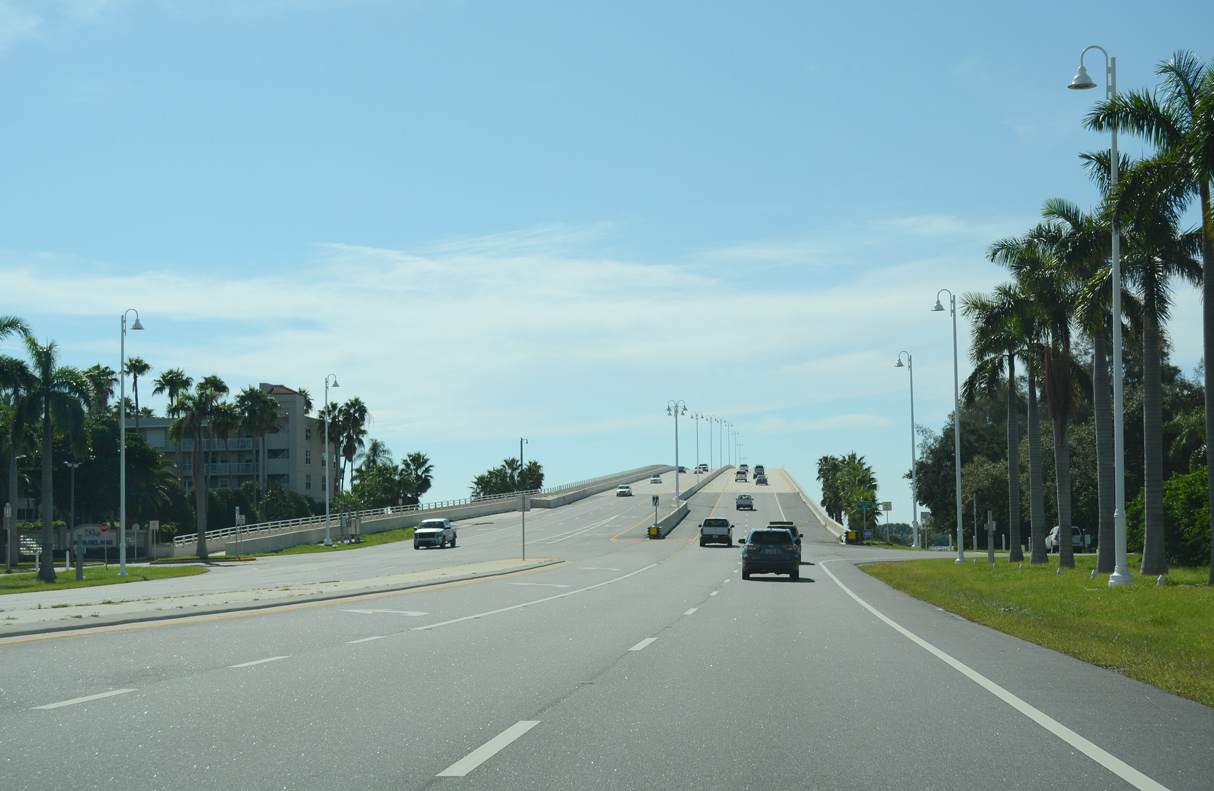
 | SR 682 (Pinellas Bayway) spans Boca Ciega Bay Channel onto the Pinellas County mainland by Dolphin Cay and Cats Point. 08/20/22 |
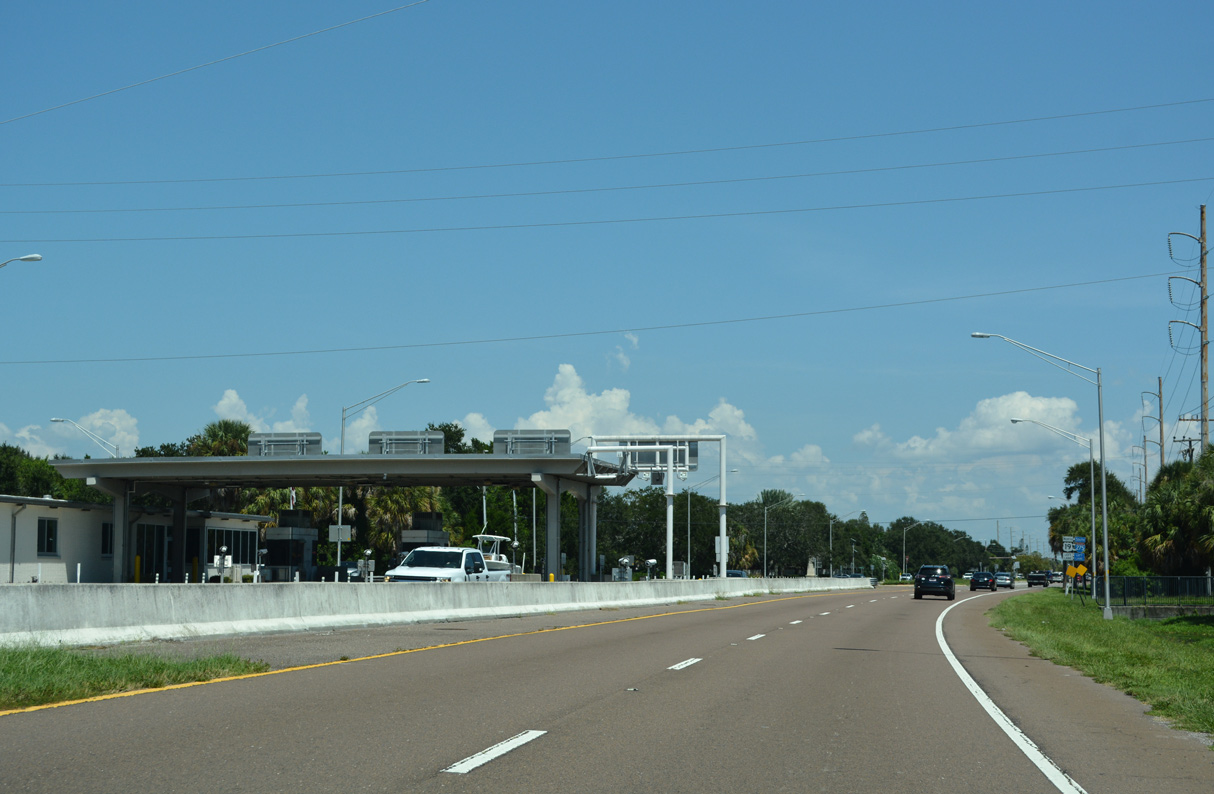 | Tolls are collected along SR 682 (Pinellas Bayway) westbound for the Ciega Bay Channel bridge at a toll plaza preceding Dolphin Cay Lane. 08/20/22 |
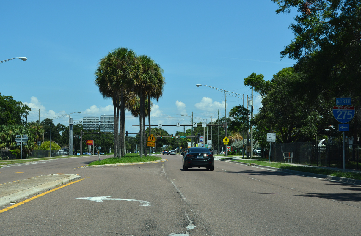
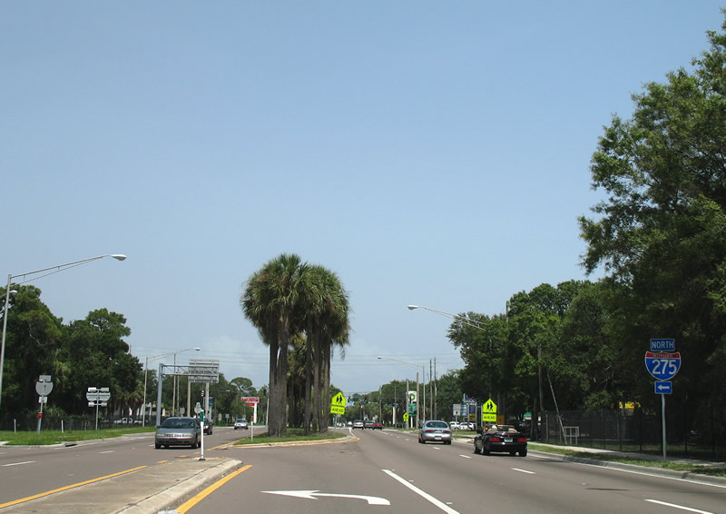
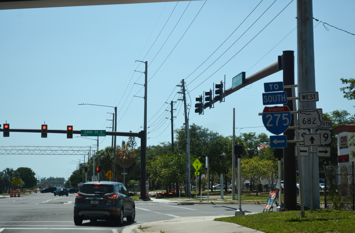
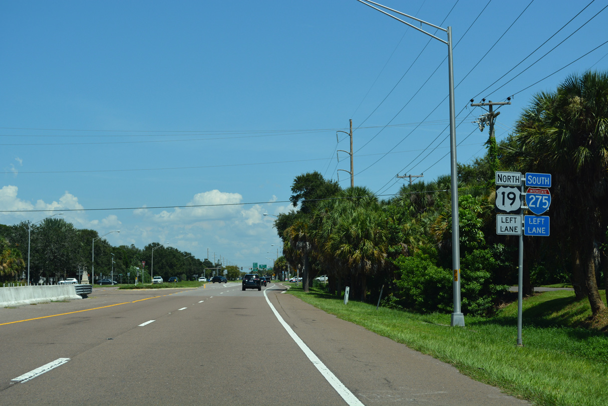 | Trailblazers for I-275/U.S. 19 precede Harbor Way. 08/20/22 |
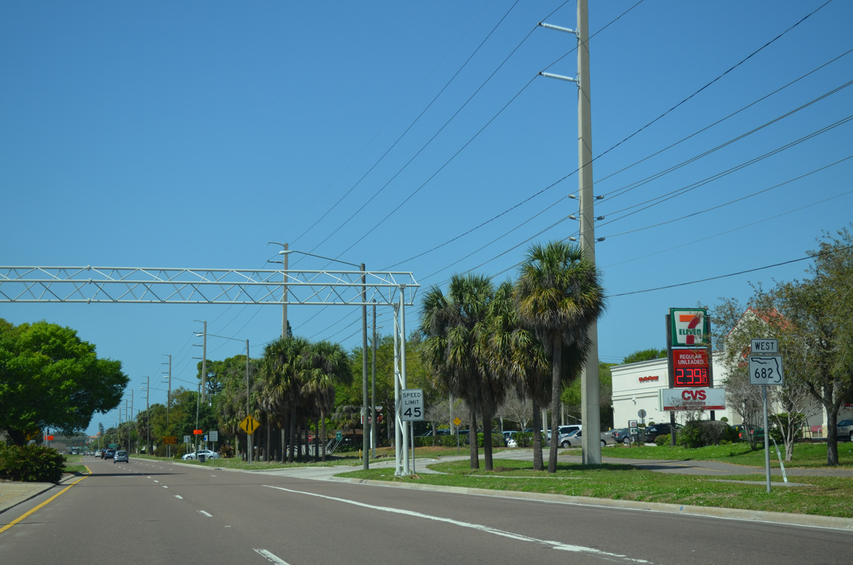
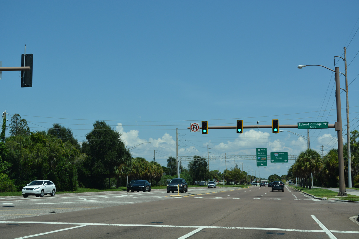 | A traffic light was added at the entrance of Eckerd College along SR 682 (54th Avenue S) after 2011. 08/20/22 |
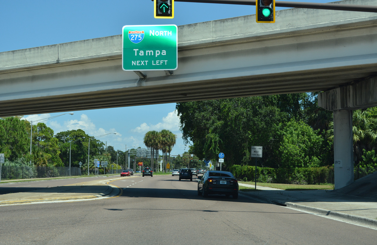
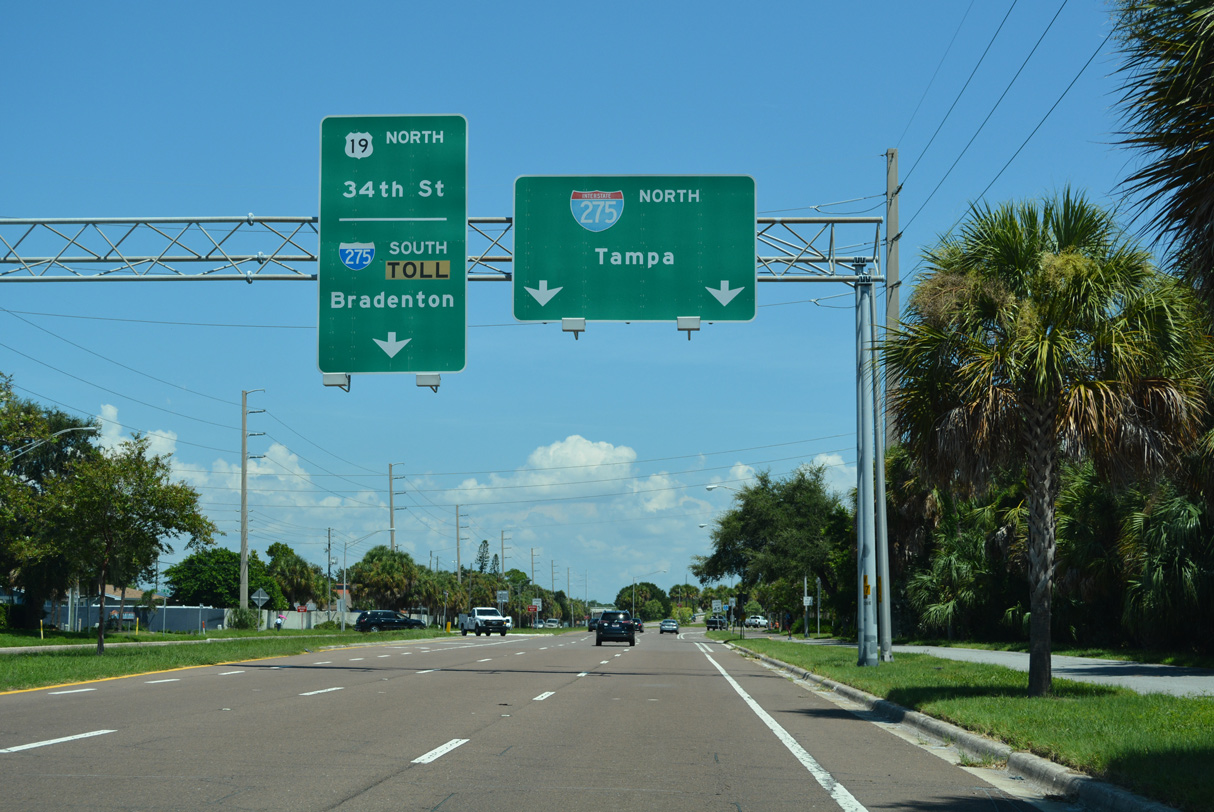 | A two lane flyover ioins SR 682 (54th Avenue S) with Interstate 275 north to Tampa ahead of U.S. 19 (34th Avenue S). 08/20/22 |
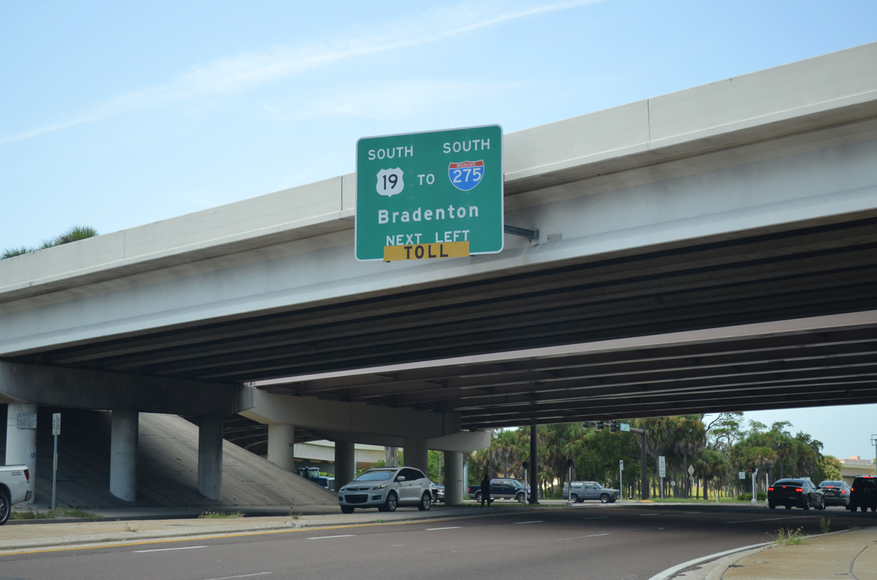
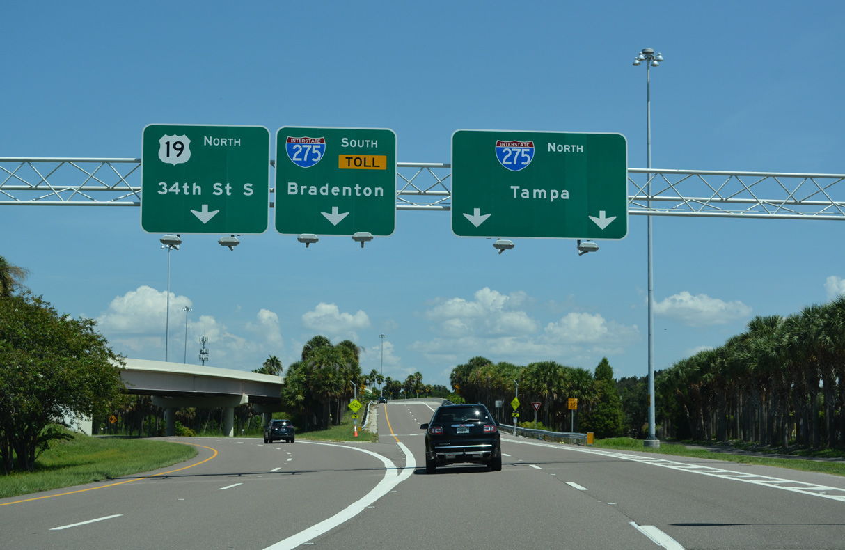 | U.S. 19 (34th Street S) separates from I-275 and the Sunshine Skyway at a wye interchange nearby. 34th Street comprises a six lane commercial arterial leading north to Lealman and Pinellas Park. 08/20/22 |
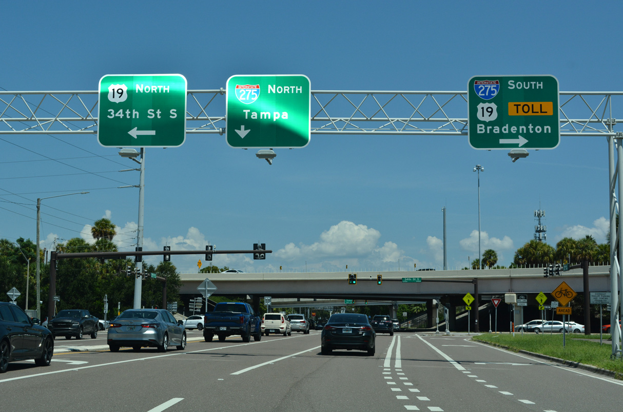 | U.S. 19 combines with I-275 south across the Sunshine Skyway Bridge toward Palmetto and Bradenton. 08/20/22 |
 | The roadways of I-275 invert through the exchange with SR 682 and U.S. 19 (34th Street S). 08/20/22 |
 | Interstate 275 parallels U.S. 19 (34th Street S) north to 15th Avenue S before curving east to I-175 (S Bay Drive) and Downtown St. Petersburg. 08/20/22 |
| 54th Avenue S - East |
 | 54th Avenue S continues 2.52 miles east from I-275 and U.S. 19 to 4th Street S by Little Bayou. 08/20/22 |
 | 54th Avenue S passes below I-275 south ahead of the northbound entrance ramp for the freeway. 07/30/06 |
 | Interstate 275 runs north from 54th Avenue S to Downtown St. Petersburg. 54th Avenue S continues east through south St. Petersburg to 4th Street S. 07/30/06 |
| 54th Avenue S - West |
 | 54th Avenue S passes under the mainline of I-275 and then ramps associated with Exit 17 in succession. Converging with I-275 south to the Sunshine Skyway Bridge, U.S. 19 (34th Street S) intersects 54th Avenue S at the ensuing intersection. 08/30/14 |
 | 54th Avenue S becomes SR 682 west from U.S. 19 to the Pinellas Bayway at Eckerd College. U.S. 19 follows 34th Street northward through St. Petersburg to Pinellas Park and I-275 south to Palmetto. 05/25/19 |
| West |
 | The first westbound reassurance shield for SR 682 (54th Avenue S) appears after the intersection with U.S. 19 (34th Street S). 03/11/15 |
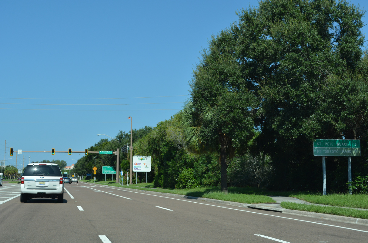 | The west end of SR 682 falls within the city of St. Pete Beach in three miles. Fort Desoto Park is located seven miles to the southwest along Pinellas Bayway South. 08/20/22 |
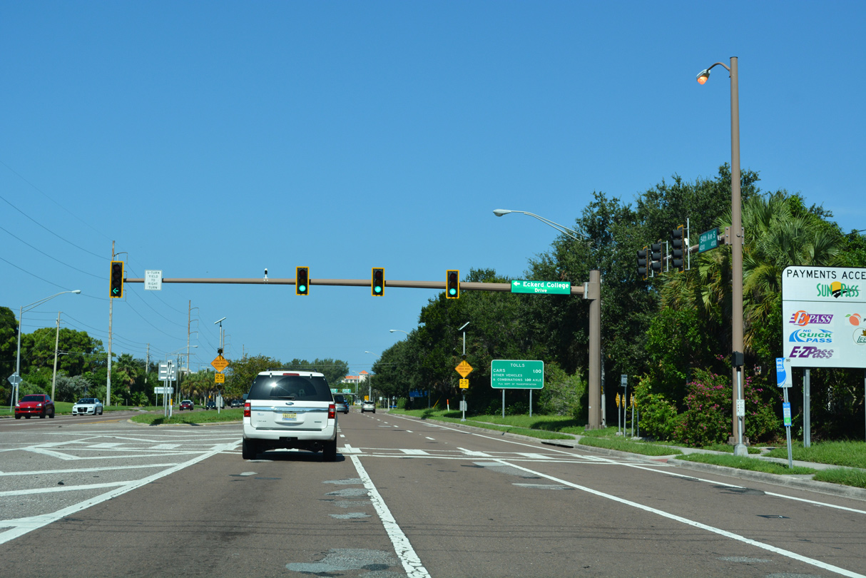 | Avenue of States Drive stems south from SR 682 (54th Avenue S) to Eckerd College. Eckerd College spreads across coastal areas between 54th Avenue S and Maximo Channel. 08/20/22 |
  | The toll plaza for the Pinellas Bayway lies west of Dolphin Cay Lane S and Harbor Way N on SR 682. 08/20/22 |
 | SR 682 (Pinellas Bayway) spans Boca Ciega Bay Channel beyond the westbound toll plaza. 08/20/22 |
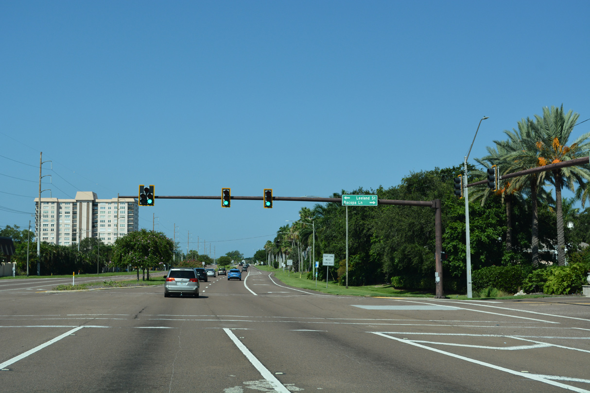 | Leeland Street and Bacopa Lane S intersect SR 682 (Pinellas Bayway) at the Bayway Isles community. 08/20/22 |
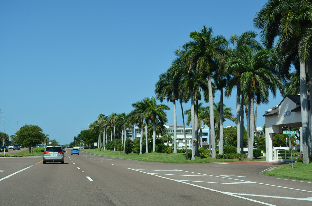 | SR 682 (Pinellas Bayway) west next intersects Isla Key Boulevard S. 08/20/22 |
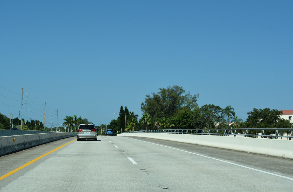 | SR 682 (Pinellas Bayway) spans an inlet between Bayway Isles and the Isle Del Sol community. 08/20/22 |
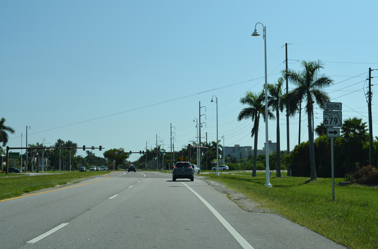
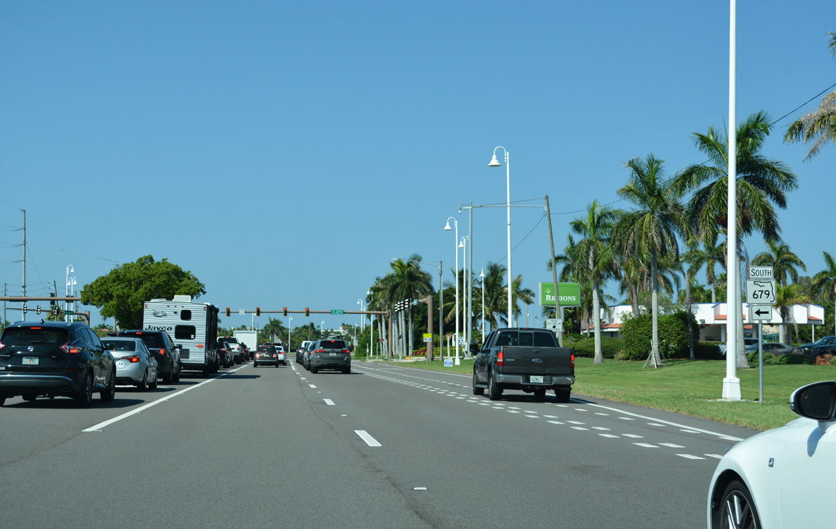
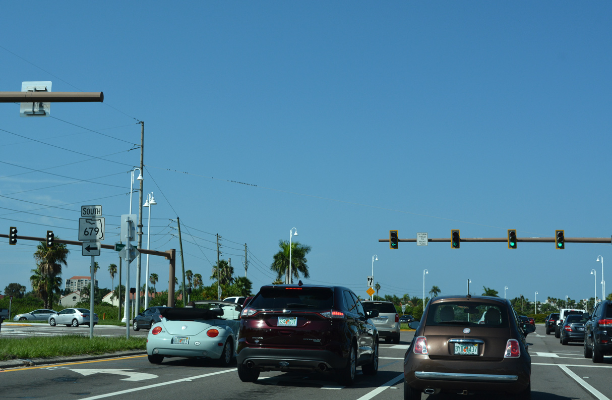
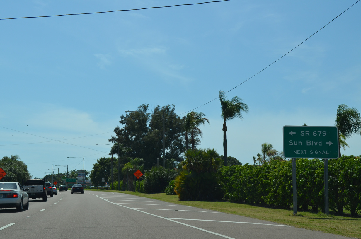 | SR 682 (Pinellas Bayway) proceeds west from La Puerta Del Sol Boulevard S and Escondida Boulevard S to the signalized intersection with SR 679 (Pinellas Bayway South) and Sun Boulevard north to Isla Del Sol Yacht & Country Club. 04/03/14 |
 | SR 679 (Pinellas Bayway S) heads 4.82 miles south from SR 682 to the toll bridge spanning Bunces Pass from Cunningham Key onto Madelaine Key. 08/20/22 |
 | Pinellas Bayway S (unsigned CR 679) continues 1.73 miles south from Bunces Pass to Mullet Key in Fort Desoto Park. Separate branches within the park spur to East Point and North Beach. 08/20/22 |
 | SR 679 joins Isle Del Sol with Tierra Verde, Pine Key, Cabbage Key and Pardee Key north of Fort DeSoto. 08/20/22 |
 | SR 679 (Pinellas Bayway S) crosses the Tiera Verde Bridge from Bird Key Middle Ground to Pine Key over a high rise bridge opened to traffic on February 18, 2021. 08/20/22 |
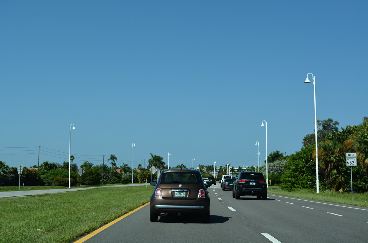 | Continuing west along SR 682 (Pinellas Bayway), the Isla Del Sol Golf Course surrounds both sides of the arterial. 08/20/22 |
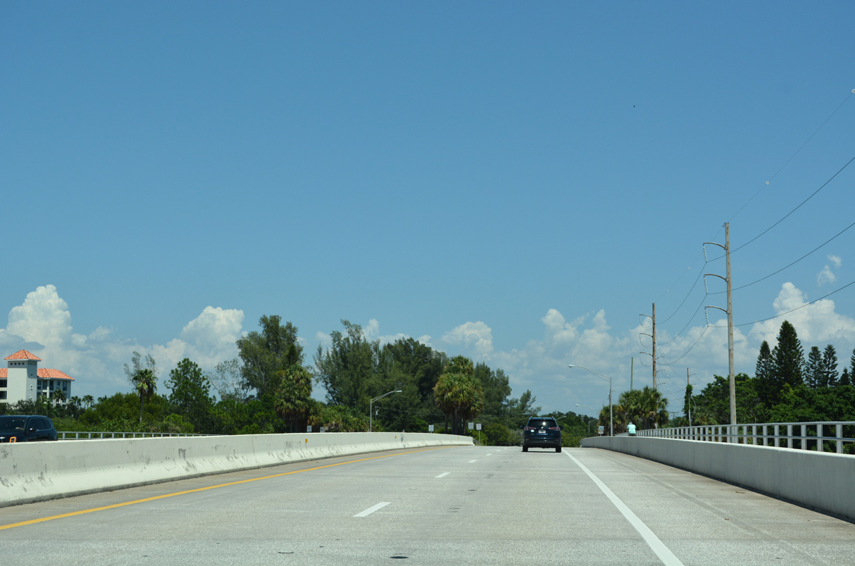
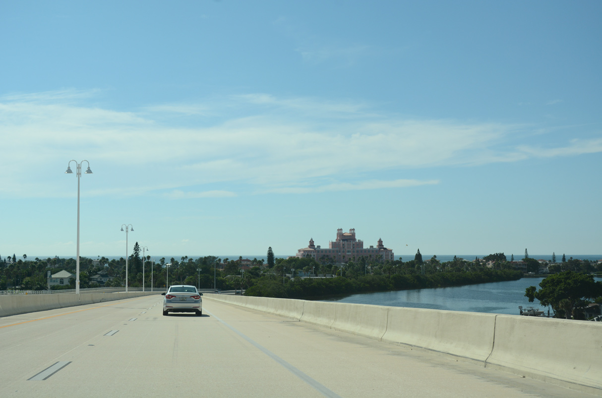
 | SR 682 (Pinellas Bayway) ascends over the Gulf Intracoastal Waterway (ICWW) on an 80 foot high fixed span. 10/01/16 |
 | Completed on October 17, 2014, the ICWW bridge replaced a low level, two lane draw bridge. It was rededicated as the Medal of Honor Bridge on March 28, 2015 in honor of Command Sgt. Maj. Gary Littrell, a Vietnam War veteran from St. Pete Beach.3 08/20/22 |
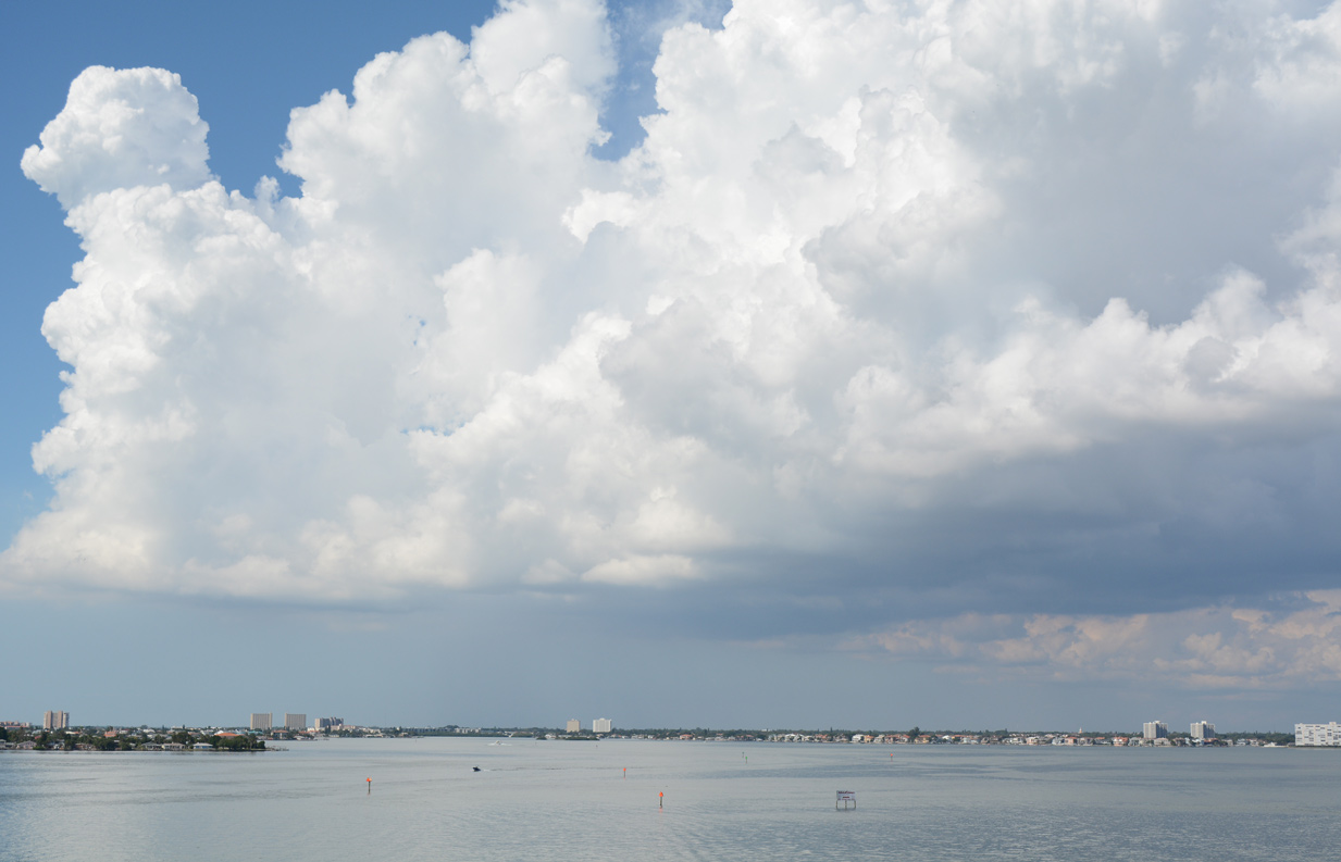 | The Gulf Intracoastal Waterway links the open waters of Boca Ciega Bay around Isle Del Sol and east of the Pinellas barrier islands. 10/01/16 |
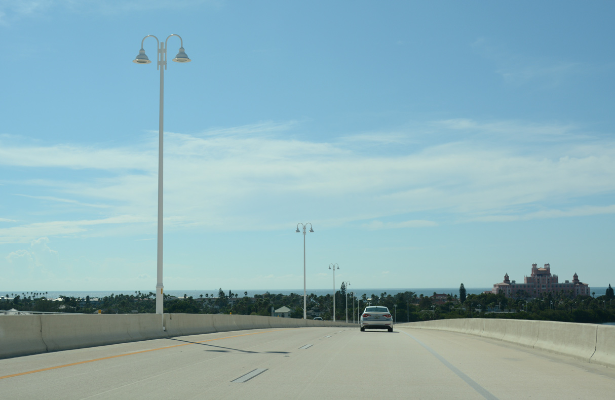 | The Don Ce Sar hotel rises along the western horizon as SR 682 lowers into St. Pete Beach. 10/01/16 |
 | Waters from McPherson Bayou spread along the north side of SR 682 (Maritana Drive) beyond the Medal of Honor Bridge. 10/01/16 |
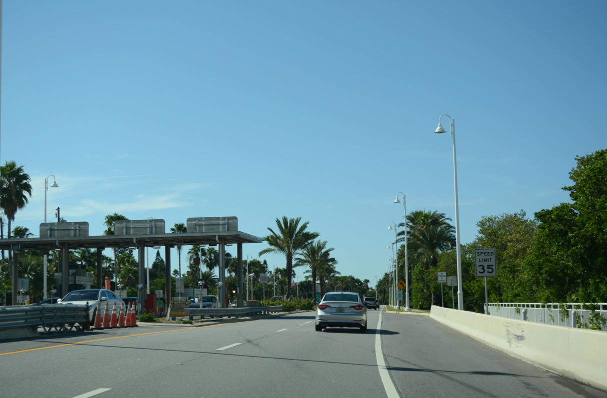 | SR 682 turns northward onto Maritana Drive by the eastbound toll plaza near Granada Street. 10/01/16 |
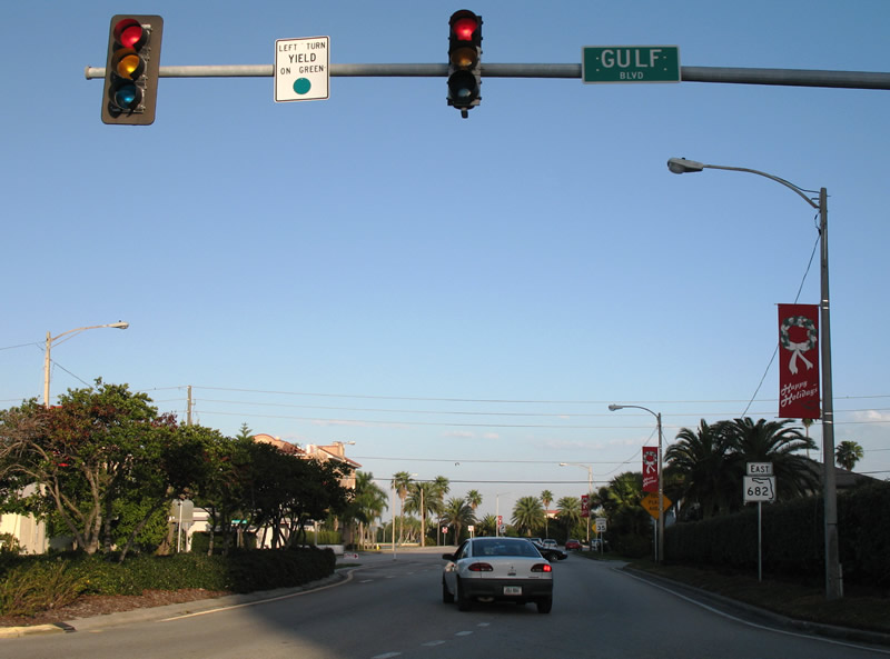
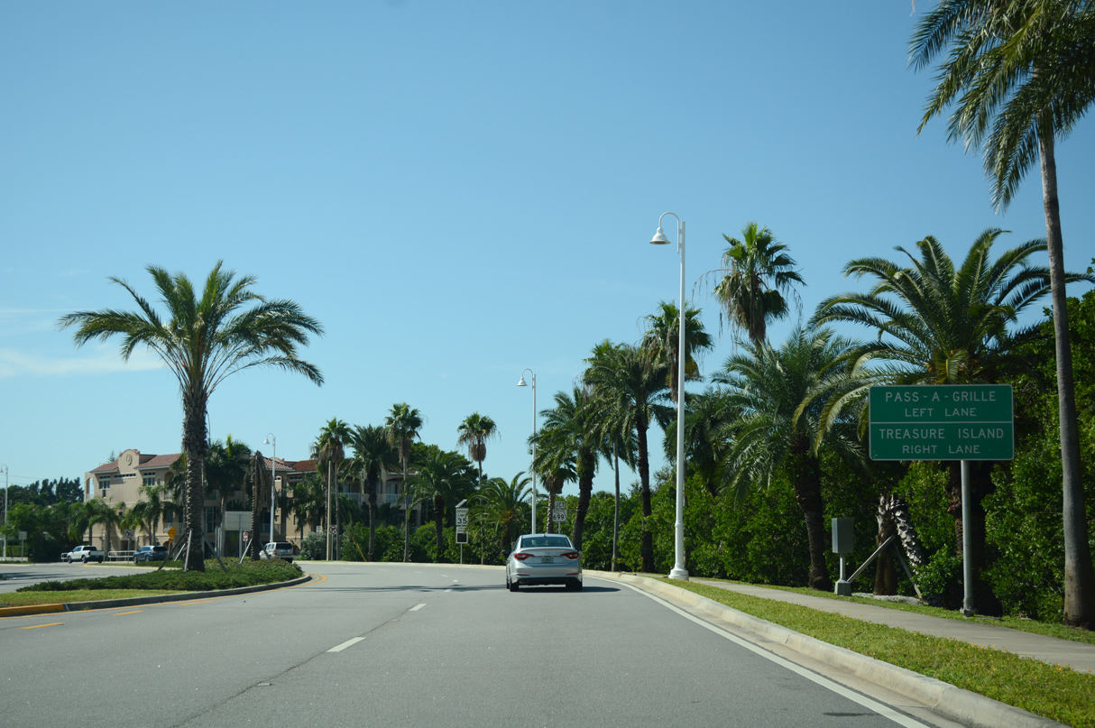 | Pass-A-Grille Beach lies at the south end of Long Key along Gulf Boulevard and Pass-A-Grille Way. SR 699 follows Gulf Boulevard north from SR 682 to the city of Treasure Island. 10/01/16 |
 | SR 699 runs 14.60 miles north from SR 682 (Pinellas Bayway) along the Pinellas barrier islands to SR 688 at Indian Rocks Beach. 10/01/16 |
 | SR 682 (Pinellas Bayway) intersects Casablanca Avenue one block ahead of SR 699 (Gulf Boulevard). 03/11/15 |
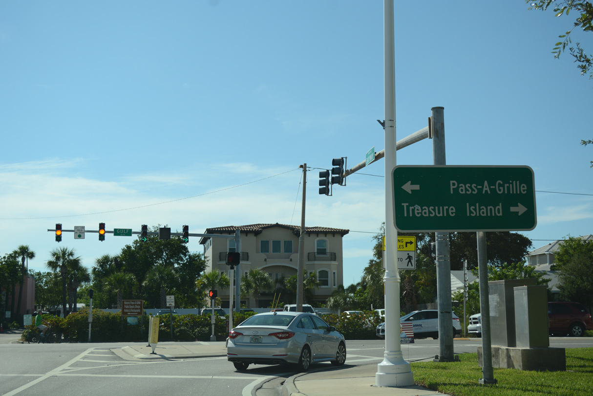 | Pass-a-Grille Point lies 1.9 miles to the south. SR 699 (Gulf Boulevard) north crosses the Blind Pass Bridge onto Treasure Island in 3.7 miles. 10/01/16 |
- "New Pinellas Bayway grand opening Friday" WTSP (Tampa Bay), October 17, 2014.
- "Pinellas Bayway bridge demolition to start soon." Tampa Bay Times, March 30, 2013.
- "Bayway Bridge to be rededicated in honor of local military hero." Bay News 9 (Tampa), March 28, 2015.
Photo Credits:
- 01/01/06 by AARoads.
- 01/06/06 by AARoads.
- 07/30/06 by AARoads and Justin Cozart.
- 04/03/14 by AARoads and Carter Buchanan.
- 08/30/14 by AARoads.
- 03/11/15 by AARoads and Chris Kalina.
- 10/01/16 by AARoads.
- 05/25/19 by AARoads.
- 08/20/22 by AARoads.
Connect with:
Interstate 275
U.S. 19
State Road 679 - Pinellas Bayway South
State Road 699 - Gulf Boulevard
Page Updated 09-27-2022.