Route 750 replaced the northern eight miles of Route 76 when it was renumbered. The state route extends 8.05 miles north from I-H1/Route 76 between Waipahu and Village Park to Route 99 (Wilikina Drive) at Schofield Barracks.
Kunia Road is a four lane boulevard north from the parclo interchange with Interstate H1 to Anonui Street east to Village Park. The remainder transitions into a rural two lane highway from there across farmland to the unincorporated community of Kunia Camp.
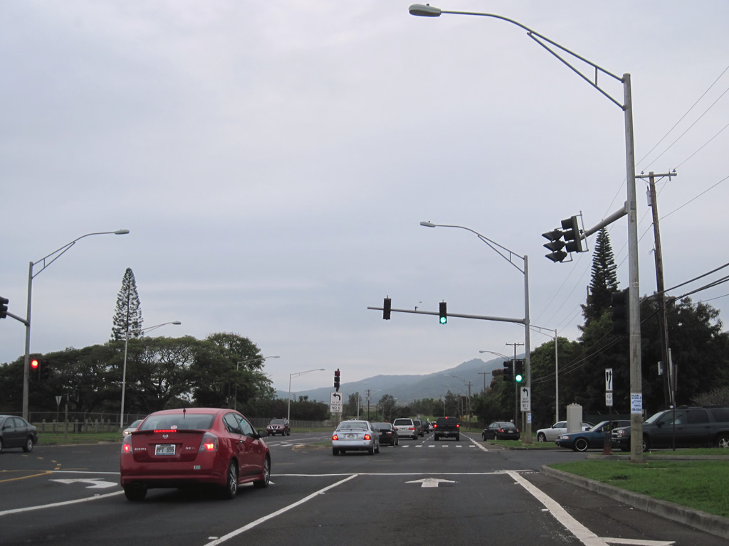
Turning northeast, Route 750 (Kunia Road) passes between the Schofield Barracks and Wheeler Army Airfield military installations. Kunia Road expands to four lanes from ahead of the traffic light at Lyman Road and Wright Avenue to Route 99 (Wilikina Drive) across from Wahiawa Reservoir.
|
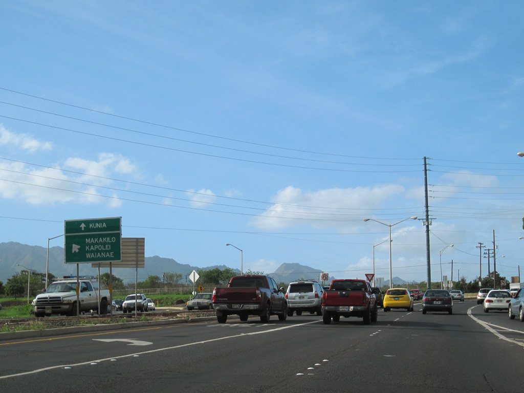
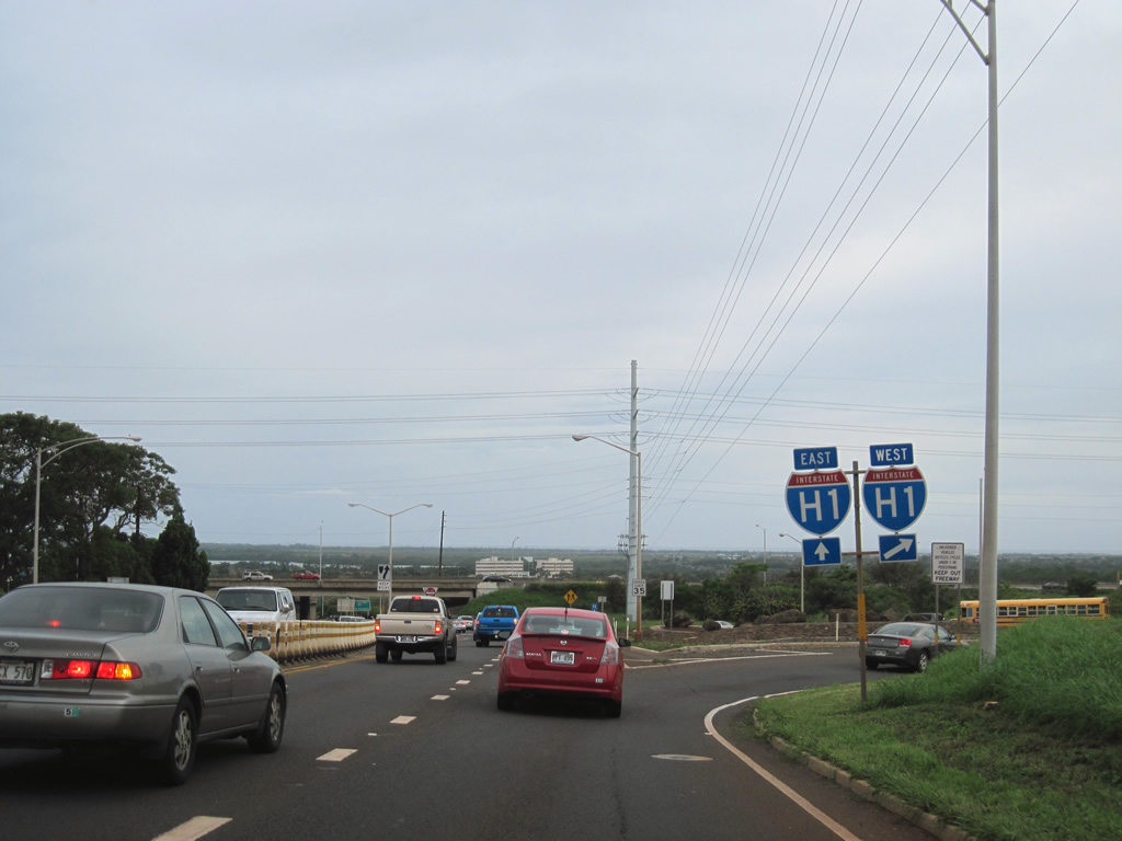
| Motorists bound for Interstate H1 west to Kapolei, Makakilo City and Route 93 (Farrington Highway) north to Waianae depart Route 750 (Kunia Road) north. 01/17/11 |
|
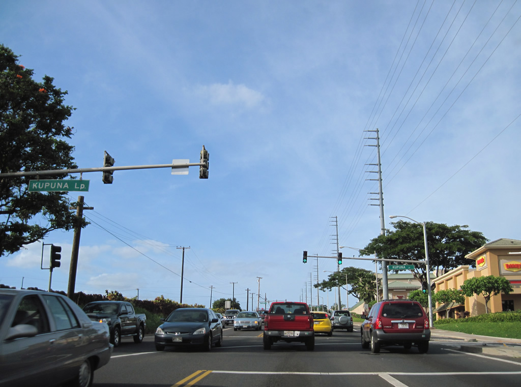
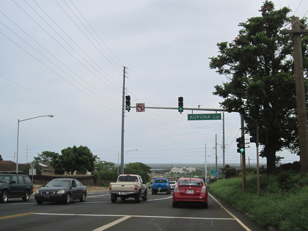
| Kupuna Loop (Route 7180) stems east into the Village Park community from Route 750 (Kunia Road) just north of Interstate H1. 01/17/11 |
|
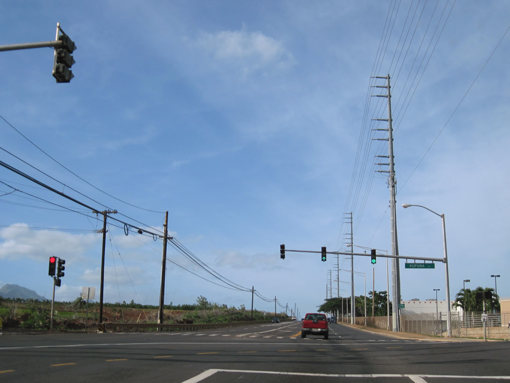
| The 1.94 mile long course of Kupuna Loop (Route 7180) returns to Route 750 from the Village Park neighborhood at the succeeding traffic light on Kunia Road northbound. 01/17/11 |
|
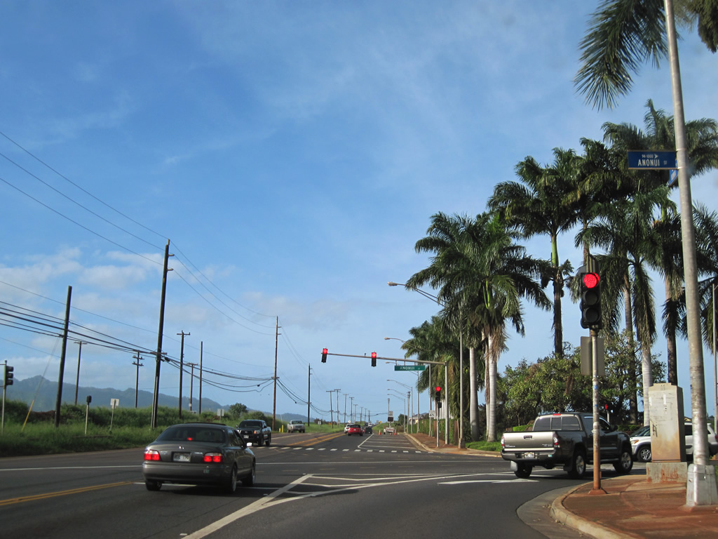
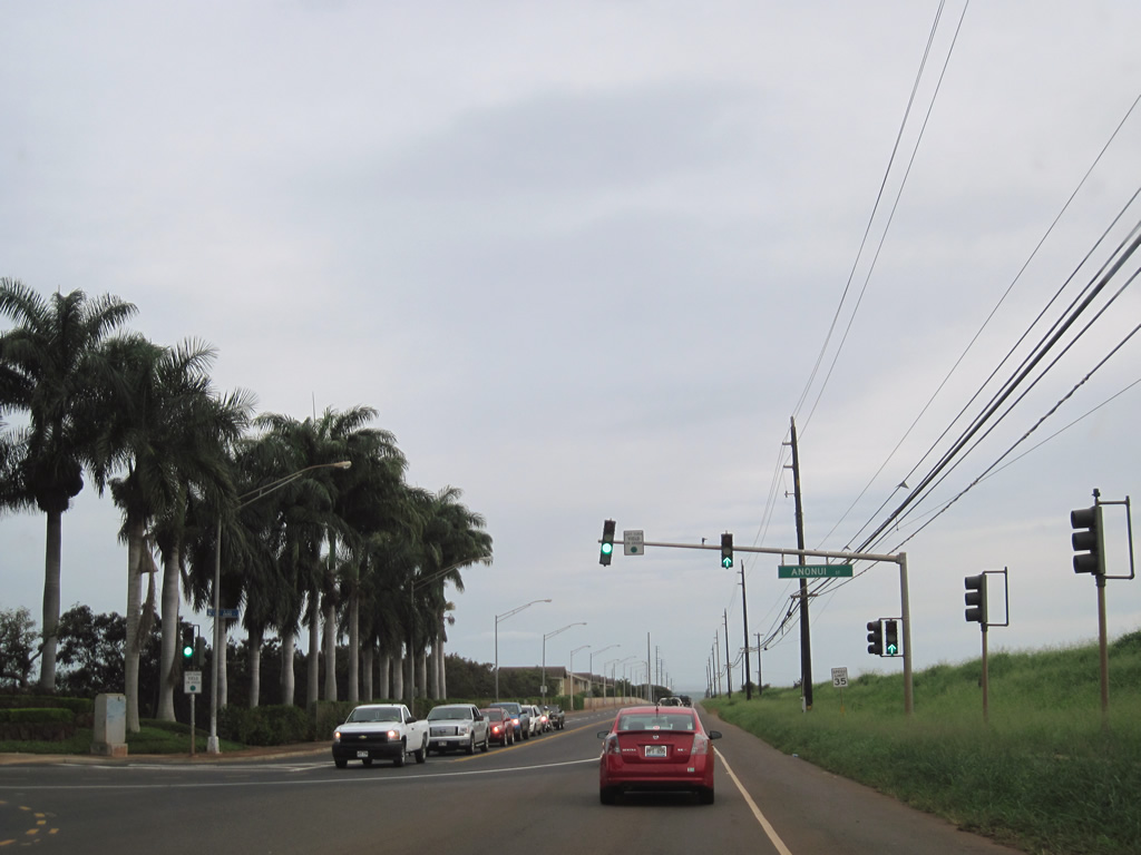
| Anonui Street arcs eastward from Route 750 through the Royal Kunia community to Royal Kunia Country Club. 01/17/11 |
|
| Route 750 (Kunia Road) leads southwest from Route 99 between Schofield Barracks and Wheeler Army Airfield. 01/18/11 |
|
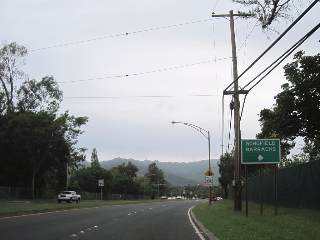
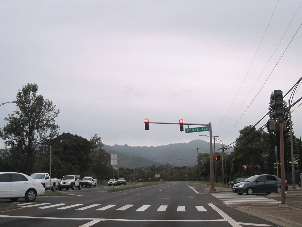
| Foote Avenue is one of two entrances to Schofield Barracks from Route 750 (Kunia Road) south. 01/18/11 |
|
| Lyman Road west connects with Schofield Barracks opposite from Wright Avenue east into Wheeler Army Airfield. 01/18/11 |
|
| Route 750 lowers from Wright Avenue to cross Waikele Stream. The first confirming marker appears after Kunia Road reduces from four to two lanes. 01/18/11 |
|
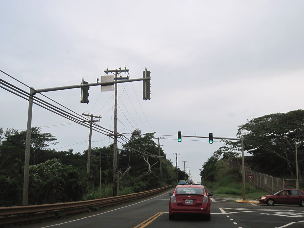
| Just beyond Waikele Stream is the signalized intersection with the entrance to the Naval Fleet Operation Control Center Pacific site west of Route 750. 01/18/11 |
|
| Reassurance shield posted along Route 750 (Kunia Road) south at the unincorporated community of Kunia Camp. 01/18/11 |
|
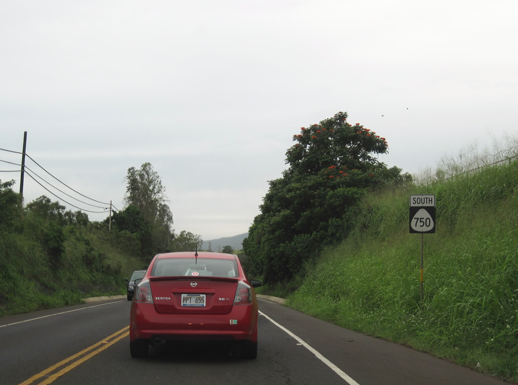
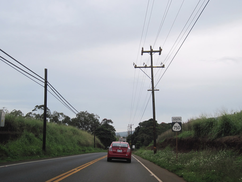
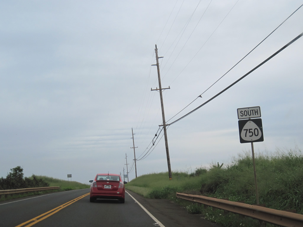
| Shields for Route 750 are posted beyond the Hawaii Country Club in both directions of Kunia Road. Much of the rest of the frontage along the two lane road consists of pineapple plantation land. 01/18/11 |
|
| Anonui Street stems east from Route 750 (Kunia Road) into the census designated place of Royal Kunia. Kunia Road widens to four lanes from Anonui Street southward as residential areas line the eastern side of the state route. 01/18/11 |
|
| Route 750 remains somewhat separated from Village Park, as no private driveways or shopping centers have direct access to Kunia Road. Kupuna Loop (Route 7180) joins Kunia Road with Village Park. 01/18/11 |
|
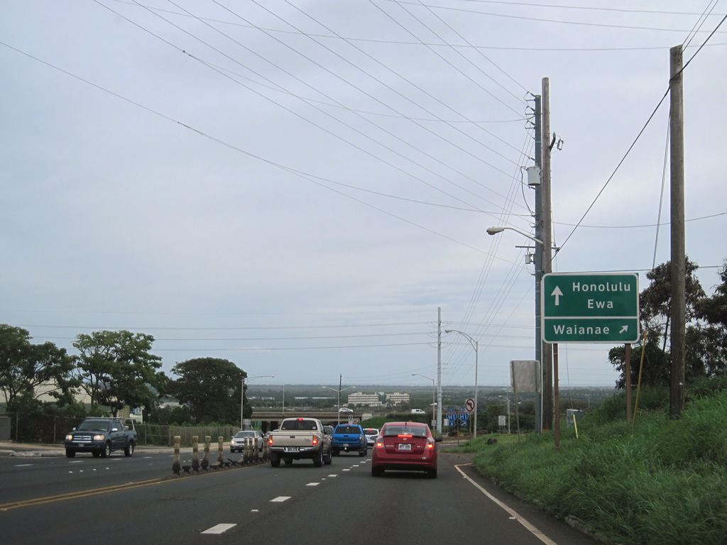
| Lowering into Waipha from Village Park, Route 750 (Kunia Road) south next meets Interstate H1 at a parclo interchange (Exit 5). 01/18/11 |
|
| The westbound entrance ramp to Interstate H1 leads to Route 93 (Farrington Highway) north to Waianae. I-H1 ends at Kapolei in five miles. 01/18/11 |
|
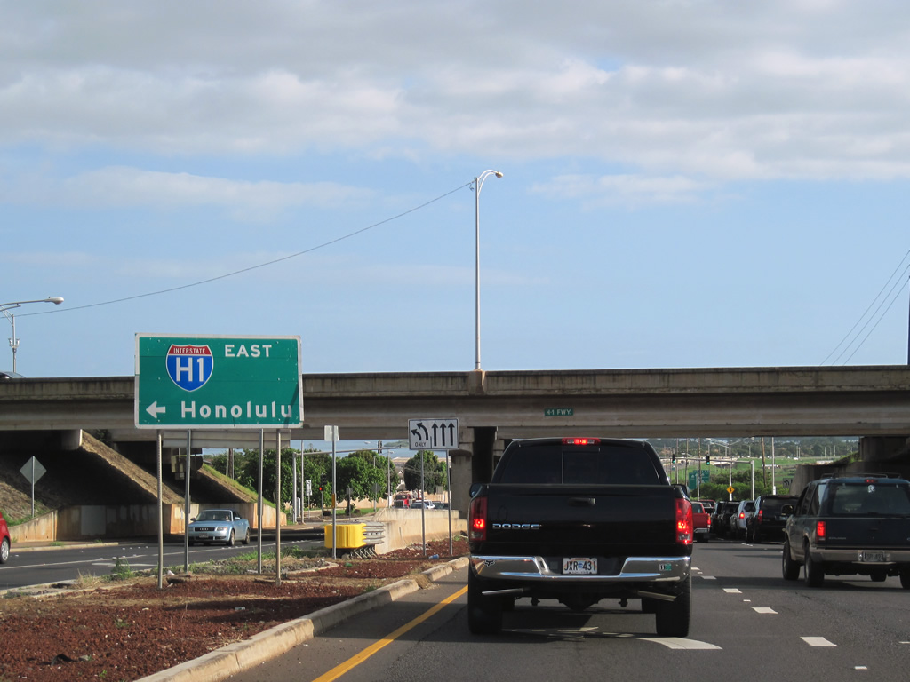
| A left turn links Route 750 (Kunia Road) southbound with Interstate H1 east to Pearl City and Honolulu. 01/17/11 |
|
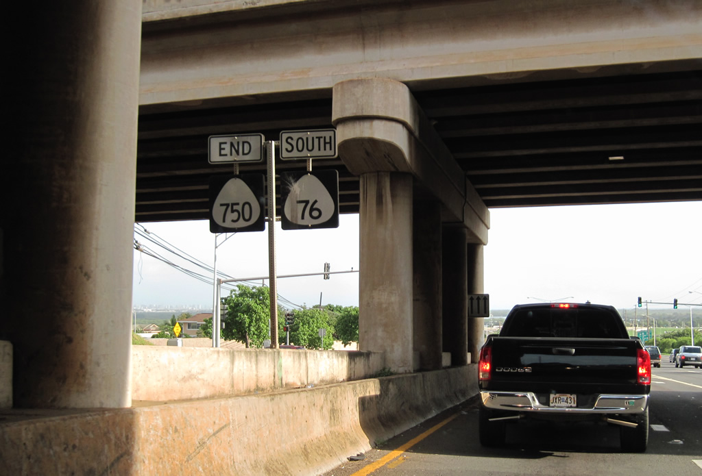
| Route 750 ends and Route 76 begins where Kunia Road transitions to Fort Weaver Road below Interstate H1. Route 76 extends 6.62 miles south to 'Ewa Beach. 01/17/11 |
Page Updated 08-31-2011.