|
| 1.61 miles south of the Kent County line, U.S. 13 (Sussex Highway) south enters the town of Greenwood. 01/15/17 |
|
| A wide median separates the roadways of U.S. 13 (Sussex Highway) to SR 16/36 (Market Street) in Greenwood. The two state routes overlap for 1.98 miles from west of Greenwood to nearby St. Johnstown. 01/15/17 |
|
| SR 36 goes for 23.28 miles overall from Scotts Corner, southwest of Greenwood, northeast to Milford and Cedar Beach. 01/15/17 |
|
| Traveling 30.31 miles, SR 16 originates at Broadkill Beach off Delaware Bay along a mostly rural route west to Milton, Ellendale, Greenwood and Adamsville. The state route becomes MD 16 west from Hickman into rural Caroline County. 01/15/17 |
|
| Several businesses reside between the split roadways of U.S. 13 (Sussex Highway) south from SR 16/36 (Market Street). 01/16/17 |
|
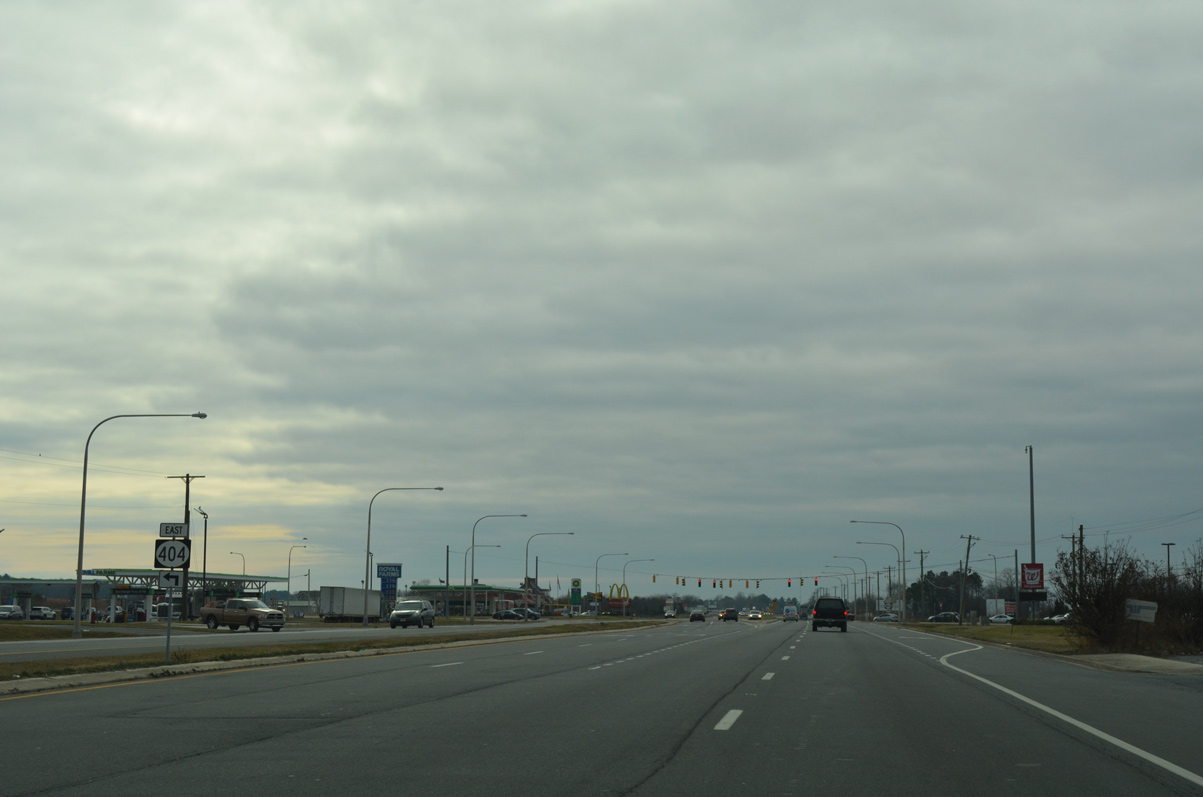
| U.S. 13 resumes through agricultural areas after Greenwood to next meet SR 404 (Newton Road). 01/16/17 |
|
| SR 404 follows Newton Road west as part of its bypass of Bridgeville. The multi state route brings traffic from the Chesapeake Bay Bridge (U.S. 50/301) east toward the Delaware beaches via Denton, Maryland. 01/16/17 |
|
| SR 404 east combines with U.S. 13 (Sussex Highway) south for 2.5 miles along the east side of Bridgeville. The forthcoming split with U.S. 13 Business (Main Street) provides the most direct route to Federalsburg Road west to SR 18. Trucks however are restricted from Downtown Bridgeville and instead directed south to SR 18 (Cannon Road) directly. 01/15/17 |
|
| U.S. 13 Business separates from U.S. 13 (Sussex Highway) south to follow Main Street through Bridgeville. The business route returns to Sussex Highway in 2.6 miles. 01/15/17 |
|
| Main Street branches west to combine with SR 404 Business at Market Street in the Bridgeville historic district. Incorporated in 1870, originals of the town date back to the 1680s.1 01/15/17 |
|
| Confirming markers for U.S. 13 south / SR 404 east appear after Main Street. SR 404 was realigned from Market and Main Streets through Bridgeville onto U.S. 13 by 1999. 01/16/17 |
|
| Reassurance markers for U.S. 13/SR 404 line Sussex County south after Fawn Road. 01/16/17 |
|
| Redden Road provides an alternate route to Georgetown by way of Kings Crossroads and U.S. 113 south at the succeeding traffic light. 01/16/17 |
|
| Redden Road ends just west of U.S. 13/SR 404 at nearby U.S. 13 Business (Main Street). 01/16/17 |
|
| Southbound motorists along U.S. 13/SR 404 formally enter the Bridgeville town limits after Redden Road. 01/16/17 |
|
| Running along the east side of Bridgeville, U.S. 13/SR 404 (Sussex Highway) advance south from Rifle Range Road to split at Seashore Highway. 01/16/17 |
|
| A series of signs attempts to separate beach bound motorists to use SR 404 east for Lewes, Rehoboth and north Delaware beaches and U.S. 13 south to SR 20 for Fenwick Island and Ocean City, Maryland. 01/16/17 |
|
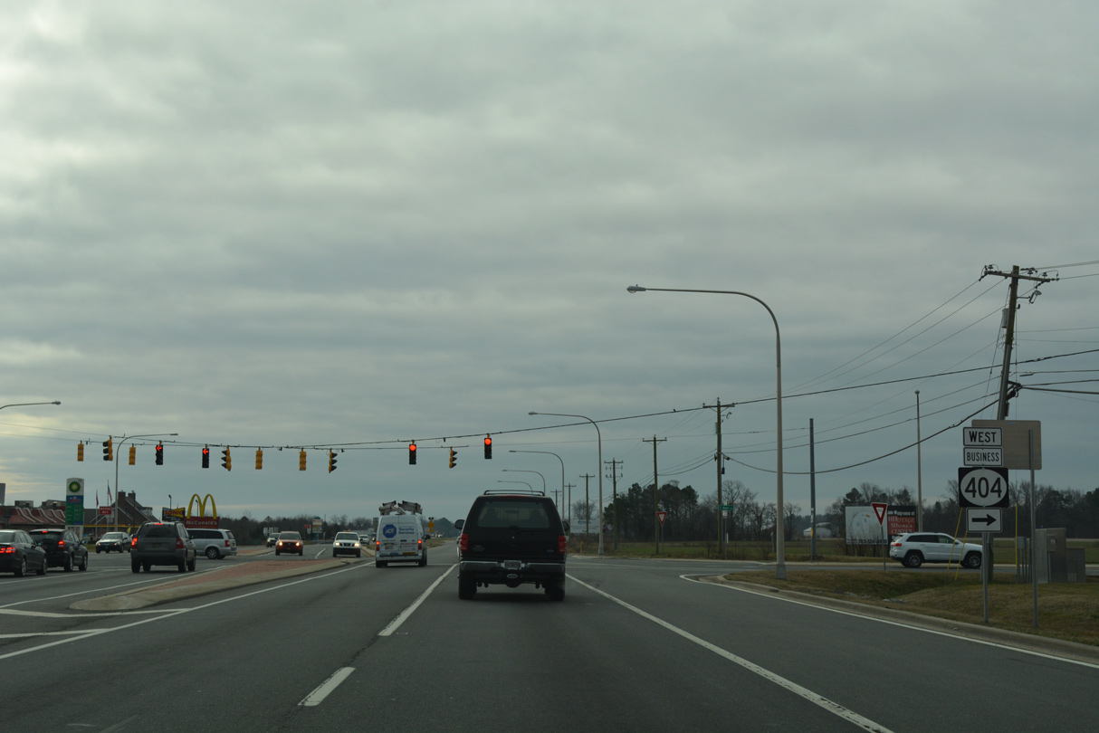
| The old alignment of SR 404 through Bridgeville was designated as SR 404 Business by 1999. It runs north alongside U.S. 13 Business (Main Street) 1.6 miles to Market Street west. 01/16/17 |
|
| SR 404 rejoins Seashore Highway east from Bridgeville to Georgetown. SR 18 accompanies the route to U.S. 9. 01/15/17 |
|
| The south end of U.S. 13 Business is not signed from either direction of Sussex Highway at Main Street. SR 404 Business follows Seashore Highway west from Bridgeville to SR 404 at Newton Road. Through trucks are prohibited from the route. 01/15/17 |
|
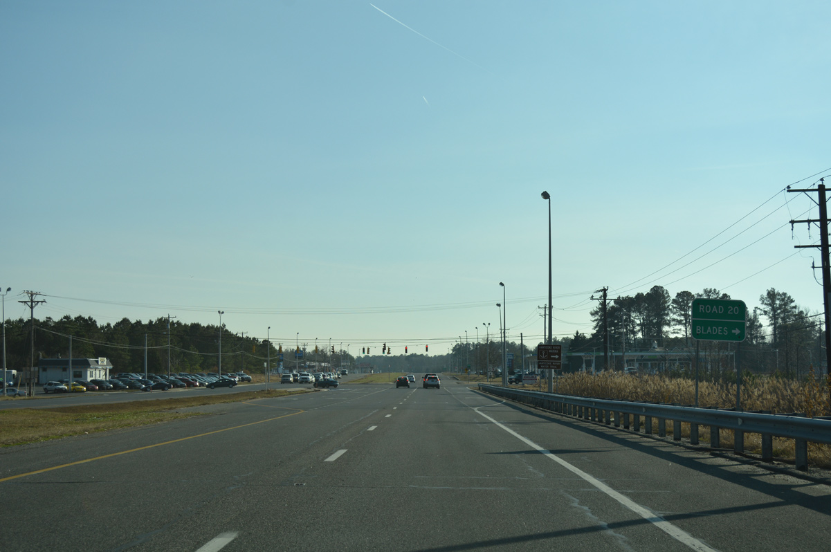
| U.S. 13 advances south from SR 404 (Seashore Highway) 4.8 miles to combine with SR 20 at Seaford. U.S. 13 and SR 20 share a 0.83 mile overlap to Blades. 01/16/17 |
|
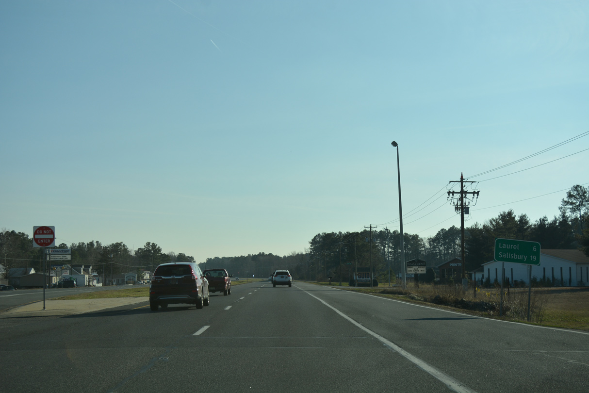
| Beyond Seaford, U.S. 13 (Sussex Highway) reaches Laurel in 11 miles and Delmar in 18 miles. 01/16/17 |
|
| U.S. 13 progresses 1.6 miles south from SR 404 to intersect SR 18 (Cannon Road). SR 18 takes a rural course west to Clarksons Crossroads and Atlanta to become MD 318 en route to Federalsburg. 01/16/17 |
|
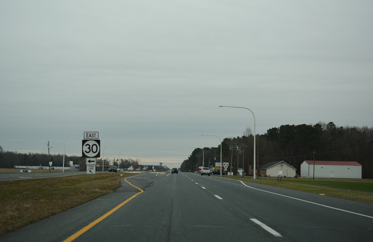
| SR 18 (Cannon Road) east combines with SR 404 (Seashore Highway) in 1.50 miles. The pair overlap east through Coverdale Crossroads and Georgetown. 01/16/17 |
|
| SR 18 runs 19.38 miles between MD 318 near Federalsburg and U.S. 9 (Market Street) in Downtown Georgetown. Until the 1974 extension of U.S. 9 into Sussex County, SR 18 continued east to Five Points and Lewes. 01/16/17 |
|
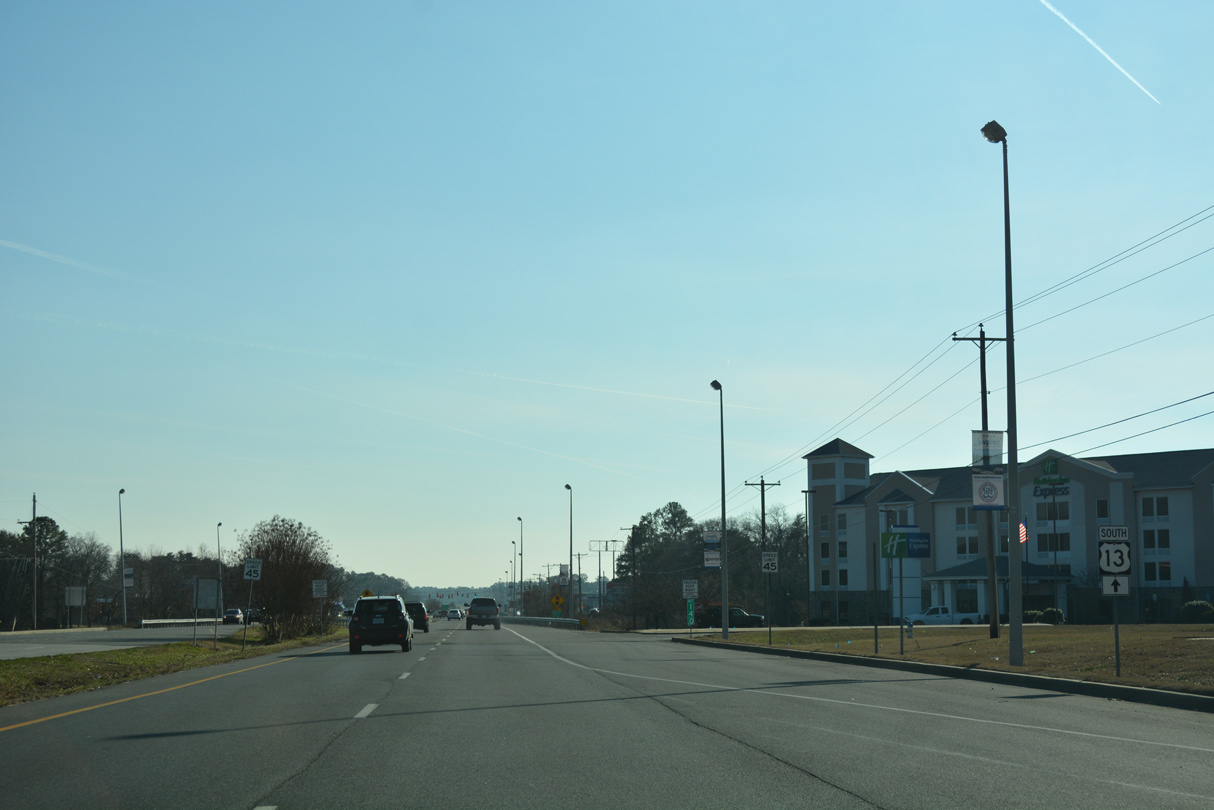
| Leaving the southern extent of Bridgeville, U.S. 13 comprises a commercial arterial between the subdivisions of Clearbrooke Estates and Bryan Park. 01/15/17 |
|
| Bridgeville Highway branches west from U.S. 13 (Sussex Highway) to the community of Hearns Mill and SR 20 (Stein Highway) in Seaford. The roadway was historically a part of U.S. 13 Alternate south to Blades, Laurel and Delmar. 01/15/17 |
|
| Speed limits reduce to 45 miles per hour as U.S. 13 (Sussex Highway) travels through the commercial north side of Seaford. 01/15/17 |
|
| Herring Run Road east and Tharp Road west come together at U.S. 13 by Sussex Plaza and Seaford Village shopping centers. Herring Run Road arcs west along the city line to Pine Street Extension. 01/15/17 |
|
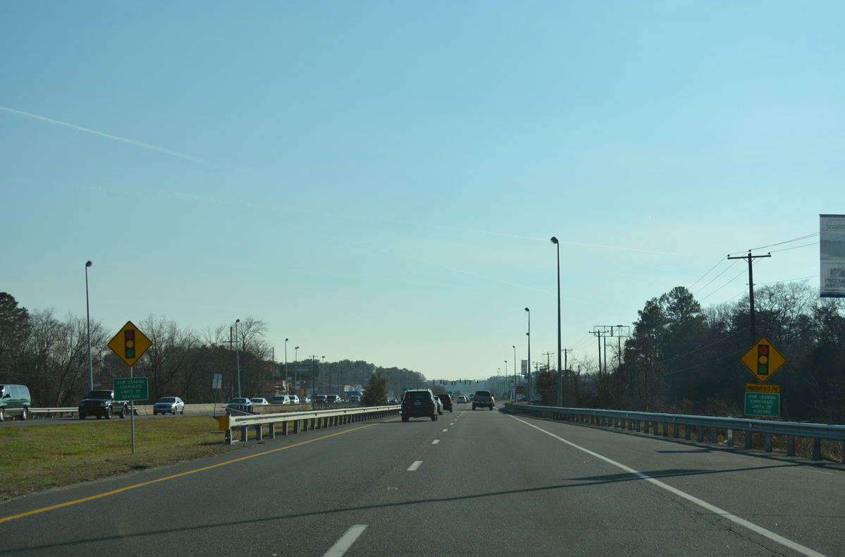
| U.S. 13 remains a commercial arterial south to Williams Pond. This sign references the city line, but the boundary of Seaford extends north along U.S. 13 to Old Furnace Road. 01/15/17 |
|
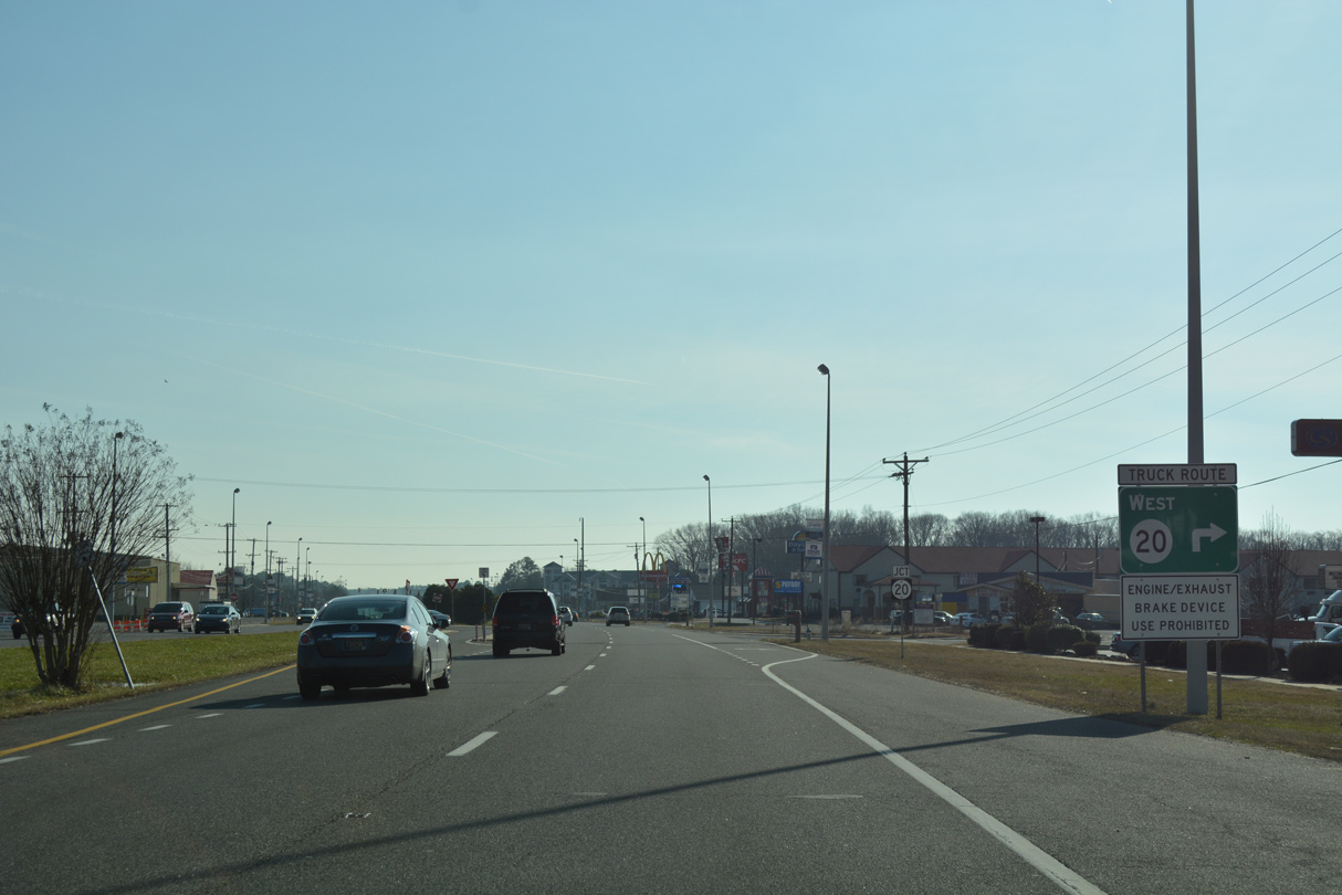
| Trucks headed for points west of Seaford are advised to use SR 20 through the city. The route is sometimes marked as Truck SR 20 instead of mainline SR 20. 01/15/17 |
|
| A cross county route from Reliance west of Seaford to Fenwick Island, SR 20 intersects U.S. 13 from Norman Eskridge Highway, a commercial arterial built by 1970 to link Sussex Highway with Stein Highway at Front Street. 01/15/17 |
|
| The intersection with Normal Eskridge Highway is unmarked as SR 20 west. The state route transitions to MD 392 west in 6.3 miles. MD 392 joins Seaford with Hurlock in 15 miles. 01/15/17 |
|
| A trailblazer only references U.S. 13 south after the merge with SR 20 east. 01/15/17 |
|
| U.S. 13 south / SR 20 (Sussex Highway) east next cross a 1952-built bridge across Williams Pond. 01/15/17 |
|
| Middleford Road heads northeast from High Street and Downtown Seaford to converge with U.S. 13/SR 20 on The Island. 01/15/17 |
|
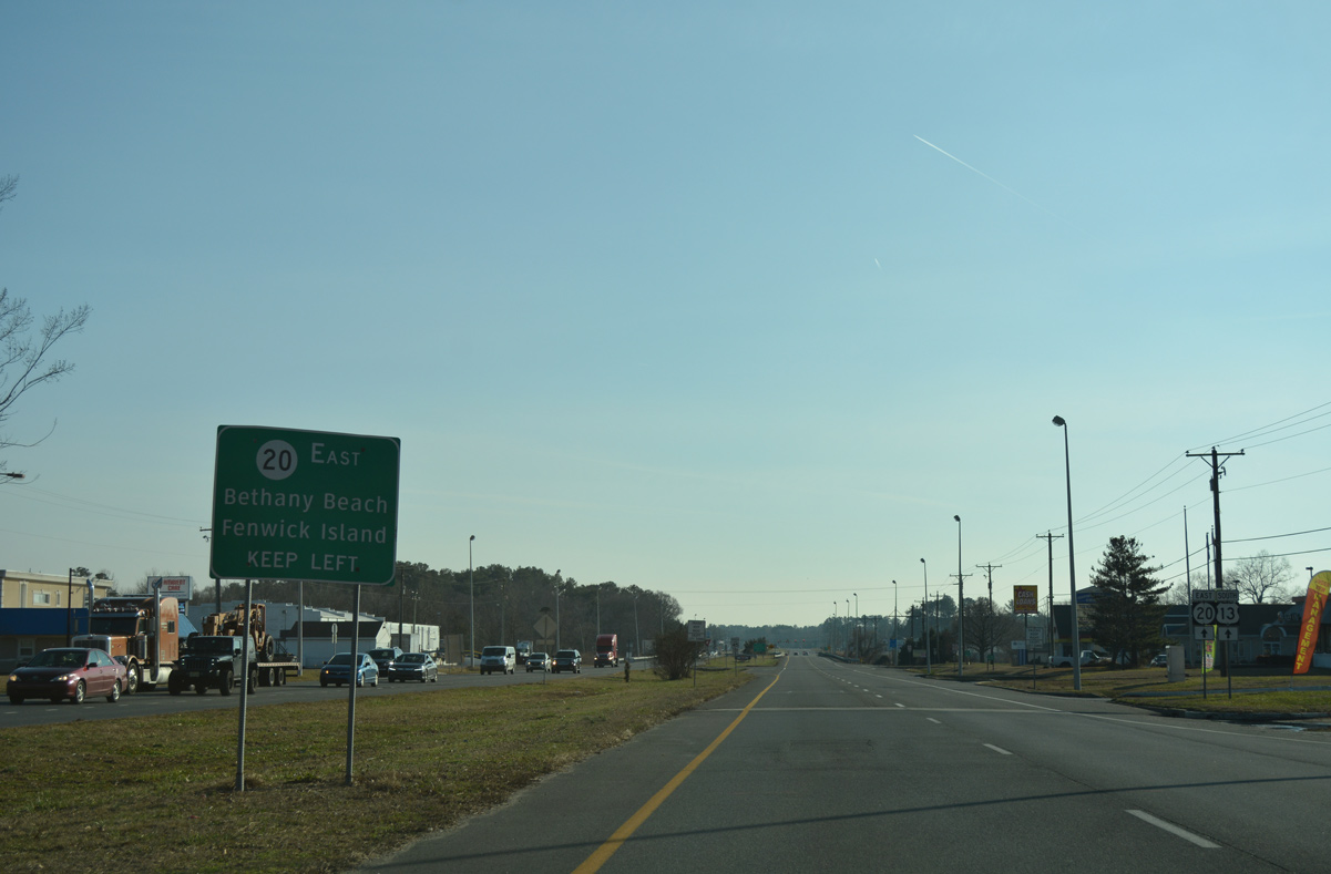
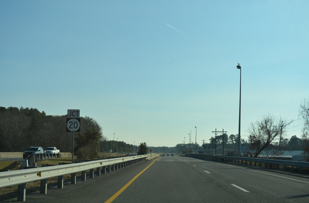
| Continuing south across the Nanticoke River, an array of signs precedes the eastbound split of SR 20 from U.S. 13 (Sussex Highway) south for the Delaware beaches. 01/15/17 |
|
| SR 20 travels another 35.57 miles from U.S. 13 at Blades to SR 1/54 at Fenwick Island. 01/15/17 |
|
| Road 20 extends west from U.S. 13 as the former alignment of SR 20 on Concord Road and High Street to Market Street in the town of Blades. 01/15/17 |
|
| East from U.S. 13, SR 20 travels through residential areas along Deep Creek to Concord. The state route becomes rural from there southeast to Jones Crossroads and U.S. 113 outside Millsboro. U.S. 13 otherwise passes through eastern reaches of Laurel on the ensuing stretch. 01/15/17 |
|
| The town of Laurel lies six miles south of Blades via U.S. 13. Salisbury, Maryland is 13 miles further. 01/15/17 |
|
| Camp Road west to Bethel Road connects U.S. 13 at north Laurel with the rural town of Bethel. 01/15/17 |
|
| Reassurance marker posted for U.S. 13 south ahead of the intersection with Discount Land Road. 01/15/17 |
|
| Another shield for U.S. 13 south stands after Discount Land Road. Discount Land Road angles southwest from Sussex Highway to Seaford Road ahead of Downtown Seaford. 01/15/17 |
|
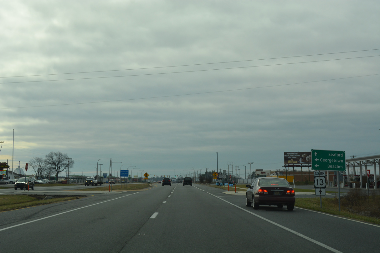
| Southbound U.S. 13 next intersects U.S. 9 (County Seat Highway) east and Georgetown Road (old SR 28) west. U.S. 9 joins the county seat of Georgetown with Laurel to the west and Lewes to the east as part of a 30.89 mile route in Delaware. 01/16/17 |
|
| A lone shield marks the west end of U.S. 9 along U.S. 13 south. U.S. 9 crosses Delaware Bay on the Cape May-Lewes Ferry to South Jersey. The north end point for U.S. 9 is located at Interstate 87 by the Canadian border in Champlain, New York. 01/16/17 |
|
| U.S. 9 (County Seat Highway) constitutes a rural highway northeast to Whaleys Corners and U.S. 113 at Georgetown. Georgetown Road extends south from the U.S. route to Central Avenue (historic U.S. 13 Alternate) in central Laurel. 01/16/17 |
|
| Advancing south from U.S. 9, U.S. 13 (Sussex Highway) bisects a tract of vacant land to Delaware Avenue. 01/15/17 |
|
| Sycamore Road ties into U.S. 13 across from Delaware Avenue from the rural community of Sycamore to the northeast. 01/15/17 |
|
| Exiting the Laurel town limits, U.S. 13 (Sussex Highway) passes between the Lakeside Manor and Shady Acres subdivisions ahead of Records Pond. 01/16/17 |
|
| SR 24 (Fourth Street) heads east from Laurel to meet U.S. 13 (Sussex Highway) just south of Records Pond. The state route provides the main route between Laurel and Millsboro. 01/16/17 |
|
| Laurel Road carries SR 24 east from U.S. 13 to Sandy Fork, Whaleys Crossroads and Millsboro Highway. The state route arcs southwest from Laurel to become MD 348 near Sharptown. 01/16/17 |
|
| U.S. 13 (Sussex Highway) bee lines south from Laurel through agricultural areas to a J-turn intersection with Dorothy and Whitesville Roads. Rural Whitesville Road was formerly part of SR 30 east to Smith Hill, Ward and SR 26/54 near Gumboro. 01/16/17 |
|
| Dorothy Road (old SR 30) leads 0.54 miles west to Bi-State Boulevard and Meadow Lane into the Country Grove neighborhood. 01/16/17 |
|
| U.S. 13 through Delaware culminates at MSR 54 (State Street / Line Road) at Delmar. Signed here as SR 54, the state route straddles the state line west to Downtown Delmar as MD 54 east toward Whitesville as SR 54. MDSHA maintains State Street to the west while DelDOT is responsible for Line Road east 4.2 miles to Brittingham Road. 09/04/01 |
Page Updated 02-06-2017.


 South
South


 East
East


 East
East