The northernmost extent of U.S. 25 travels from Corbin to Covington in Kentucky. The route formerly continued through Ohio to Port Huron, Michigan. Due to close proximity to Interstate 75, it was truncated north of the Ohio state line in 1974. The route ends on the Clay Wade Bailey Bridge alongside U.S. 42 & 127 into Cincinnati.
South of Corbin, U.S. 25 separates into East and West branches. U.S. 25E meanders 47 miles southeast to Barbourville, Pineville, Middlesboro and the Cumberland Gap Tunnel while U.S. 25W stays along the Interstate 75 corridor for 35 miles to Williamsburg and Jellico. U.S. 25 otherwise mostly acts as a local or business route for I-75 north from Corbin to London, Mt. Vernon, Berea, Richmond, Lexington, Williamstown and the Northern Kentucky metro area.
|
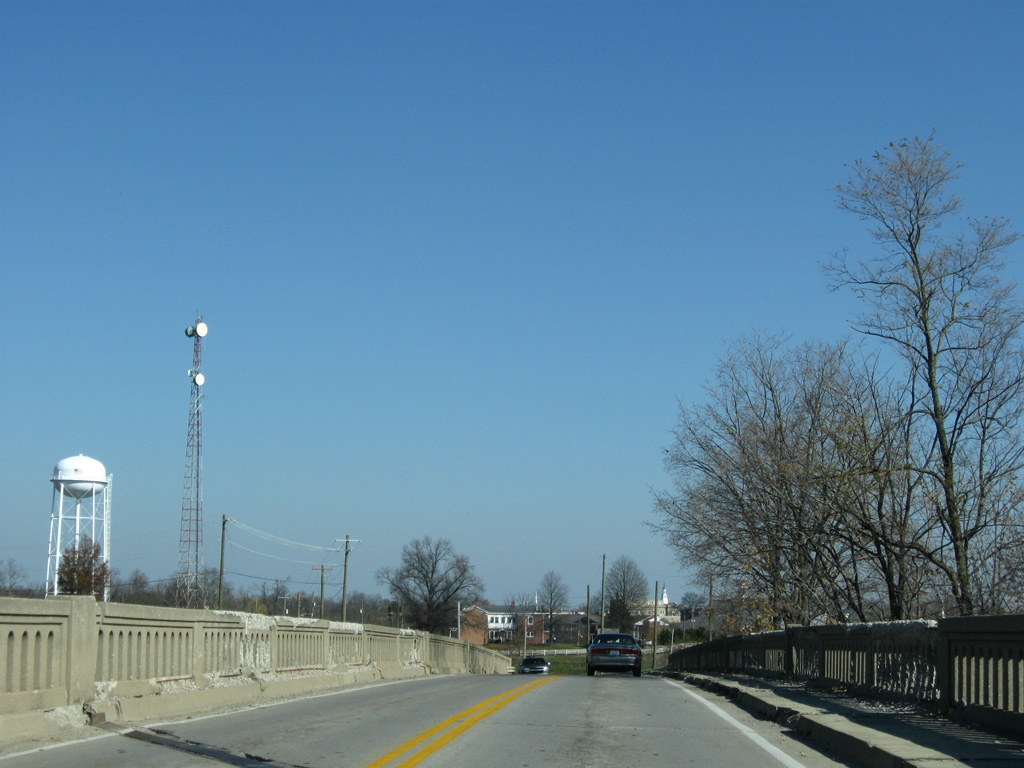
| The two branches of combine as U.S. 25 resumes for the first time since Newport, Tennessee. The US highway travels 12 miles north by Lily and Fariston to the Laurel County seat of London. 11/08/09 |
|
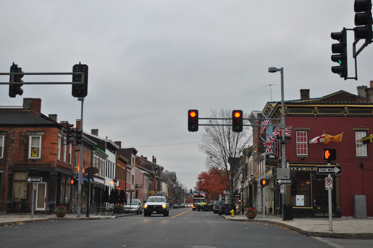
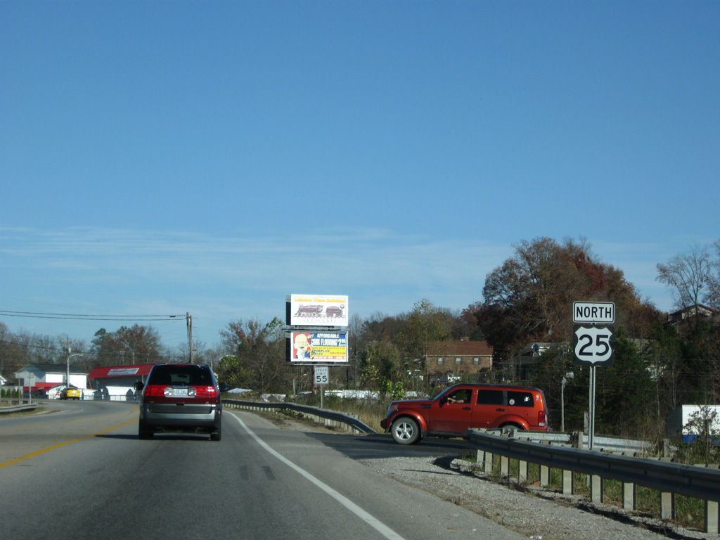
| What was the first reassurance posted for U.S. 25 after the branch merge. Construction expanded the highway here to five overall lanes in 2015. 11/08/09 |
|
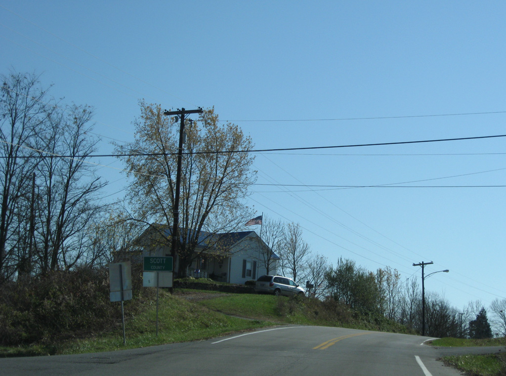
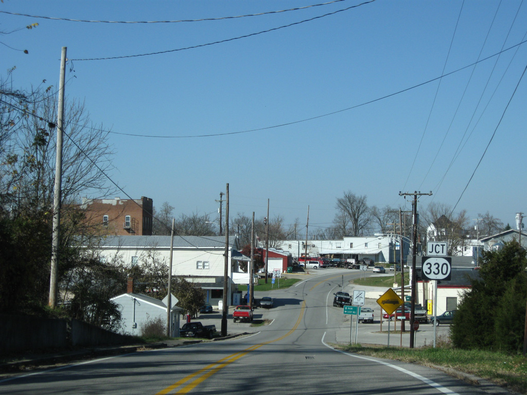
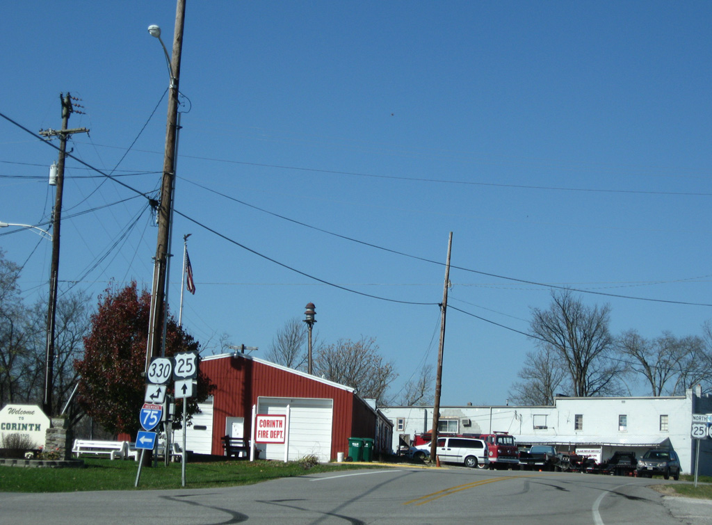
| U.S. 25 lowers from the Scott County line to intersect KY 330 (Owenton Road). 11/08/09 |
|
| KY 330 (Owenton Road) meanders west from the small city of Corinth 12 miles to the settlement of Lusby Mill in Owen County. 11/08/09 |
|
| KY 330 east merges with U.S. 25 (Main Street) briefly before turning northeast toward Cordova. The state route west links Corinth with Interstate 75. 11/08/09 |
|
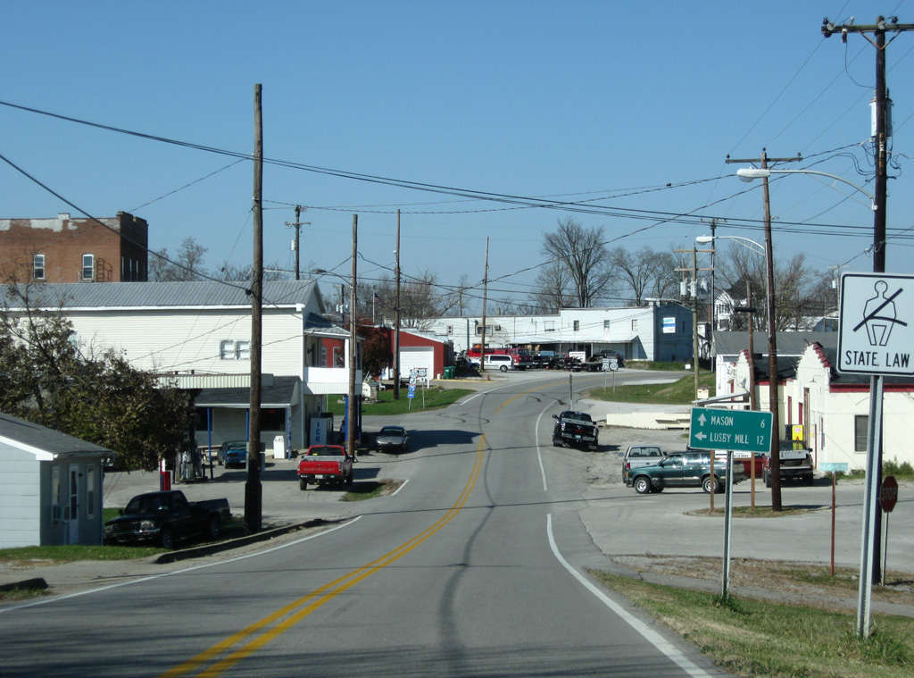
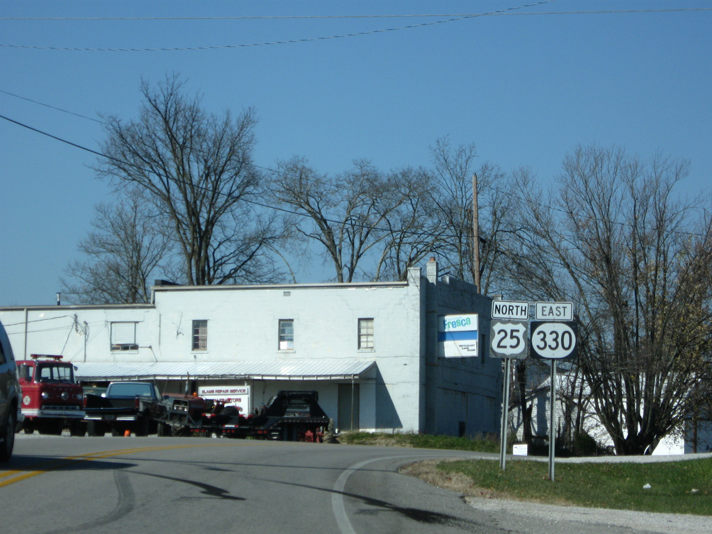
| The overlap between U.S. 25 & KY 330 last just 0.2 miles, with the US highway continuing north from Corinth six miles to the settlement of Mason. 11/08/09 |
|
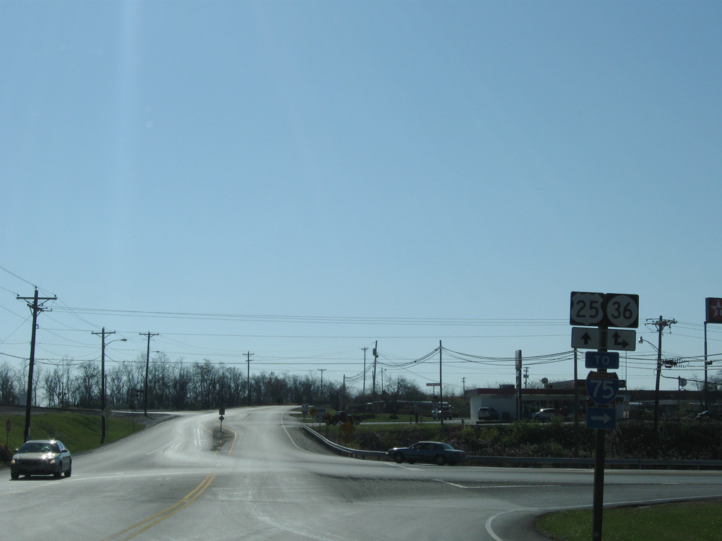
| Northbound U.S. 25 after the intersection with KY 36 (Jonesville Road) west in Williamstown. 11/08/09 |
|
| U.S. 25 crossed over a Norfolk Southern Railroad line across this old viaduct toward the Williamstown city center. A modern bridge with a wider sidewalk replaced this crossing by 2012. 11/08/09 |
|
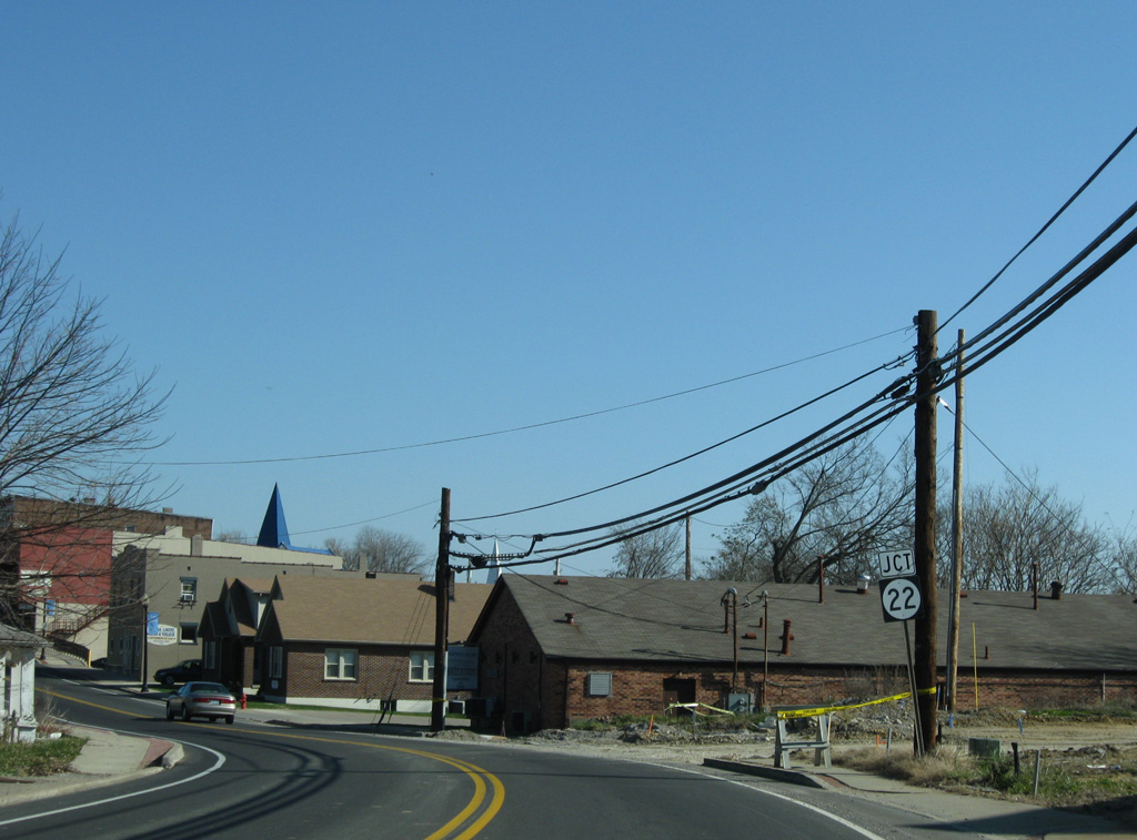
| Entering the Williamstown business district, U.S. 25 (Main Street) approaches KY 22 (Paris Street) east. 11/08/09 |
|
| KY 22 meanders east from Williamstown to Locust Grove, Goforth and U.S. 27 near Falmouth. The state route west overlaps with U.S. 25 north to Dry Ridge. 11/08/09 |
|
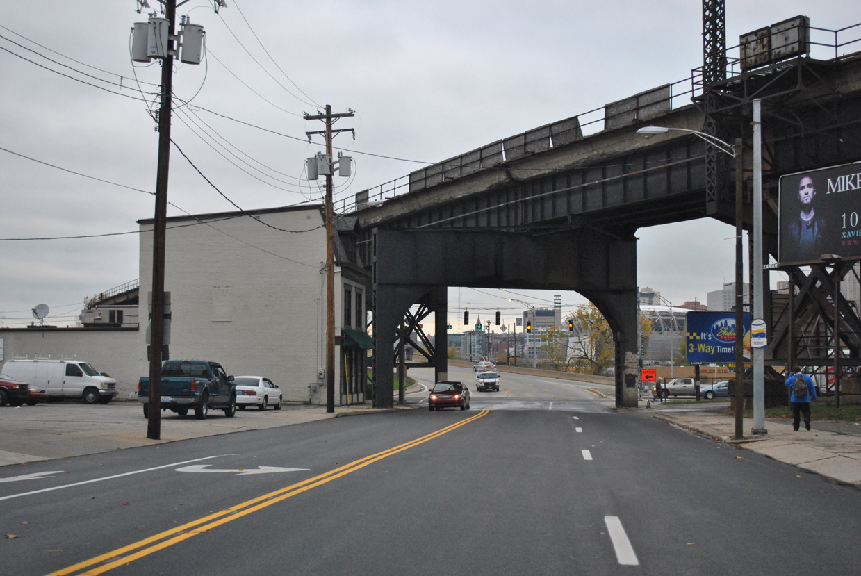
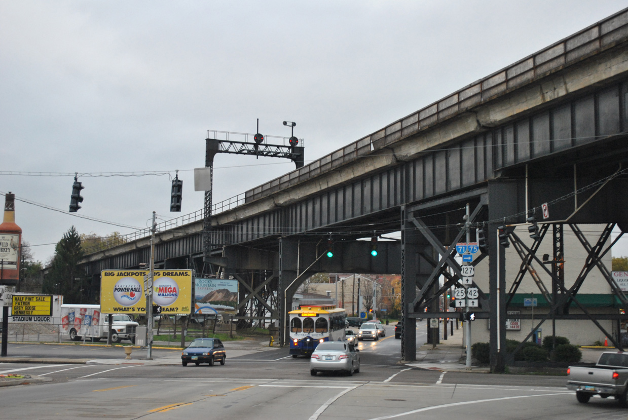
| U.S. 25-42-127 (Main Street) travel north through Covington to pass under the C&N Railroad Bridge between KY 8 (5th Street) east and west (4th Street). 11/04/11 |
|
| Trailblazers direct U.S. 25-42-127 north onto the Clay Wade Bridge from KY 8 (4th Street) west. 11/04/11 |
|
| A closer look at the last northbound reference for U.S. 25. 11/04/11 |
|
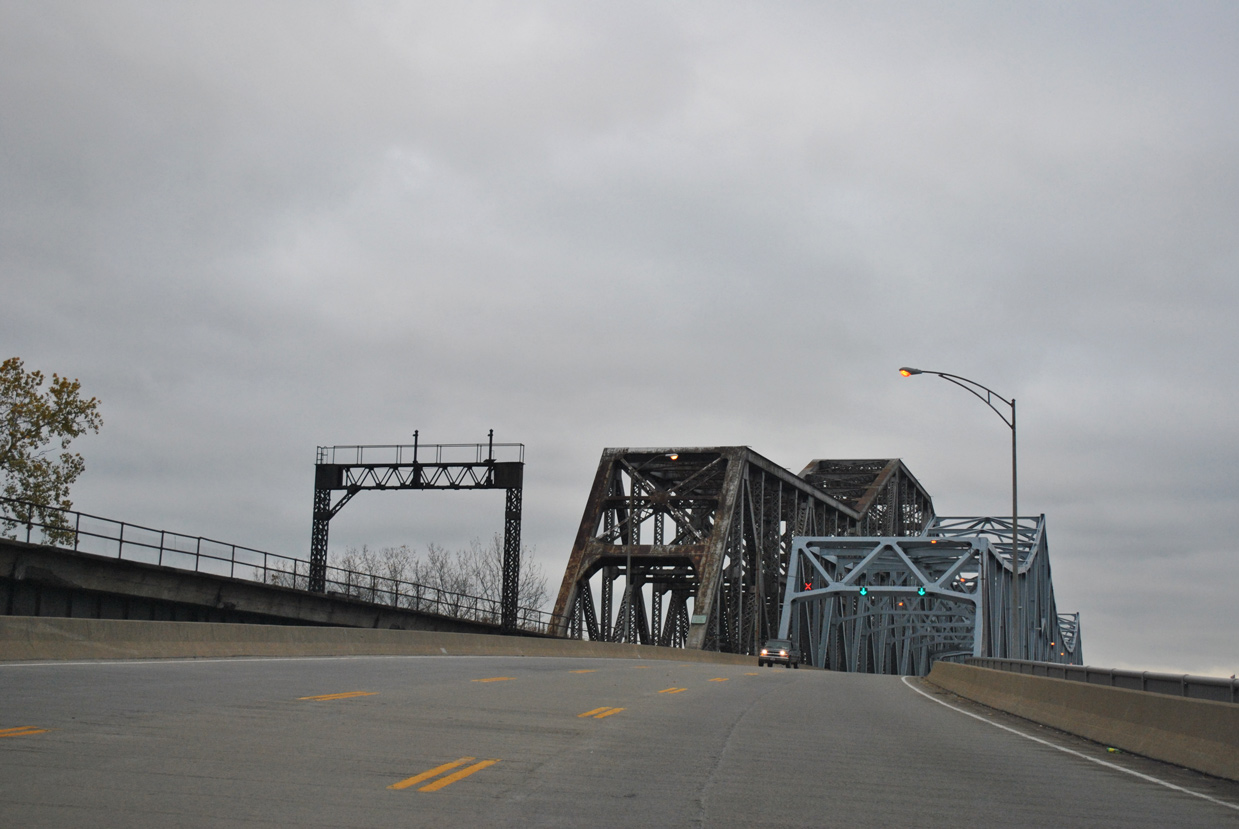
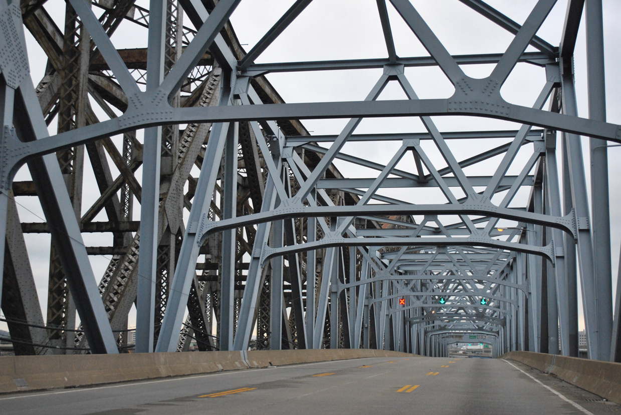
| Drivers ascend onto the Clay Wade Bailey Bridge from Main Street to cross the Ohio River into Cincinnati. 11/04/11 |
|
| Paralleling the 1929-built C&N Railroad Railroad Bridge, the Clay Wade Bridge accommodates three lanes of traffic along a 42.6 foot wide deck.1 11/04/11 |
|
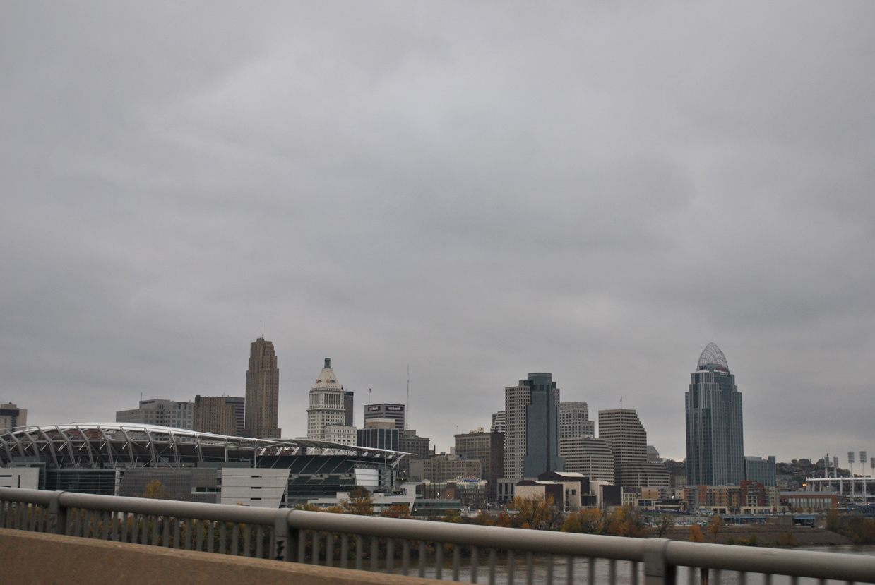
| Paul Brown Stadium, home of the Cincinnati Bengals NFL team, resides just northeast of the Clay Wade Bailey Bridge along the Ohio Riverfront. 11/04/11 |
|
| The through truss bridge across the Ohio totals 2,208 feet in length. It was opened to traffic in 1974.1 11/04/11 |
|
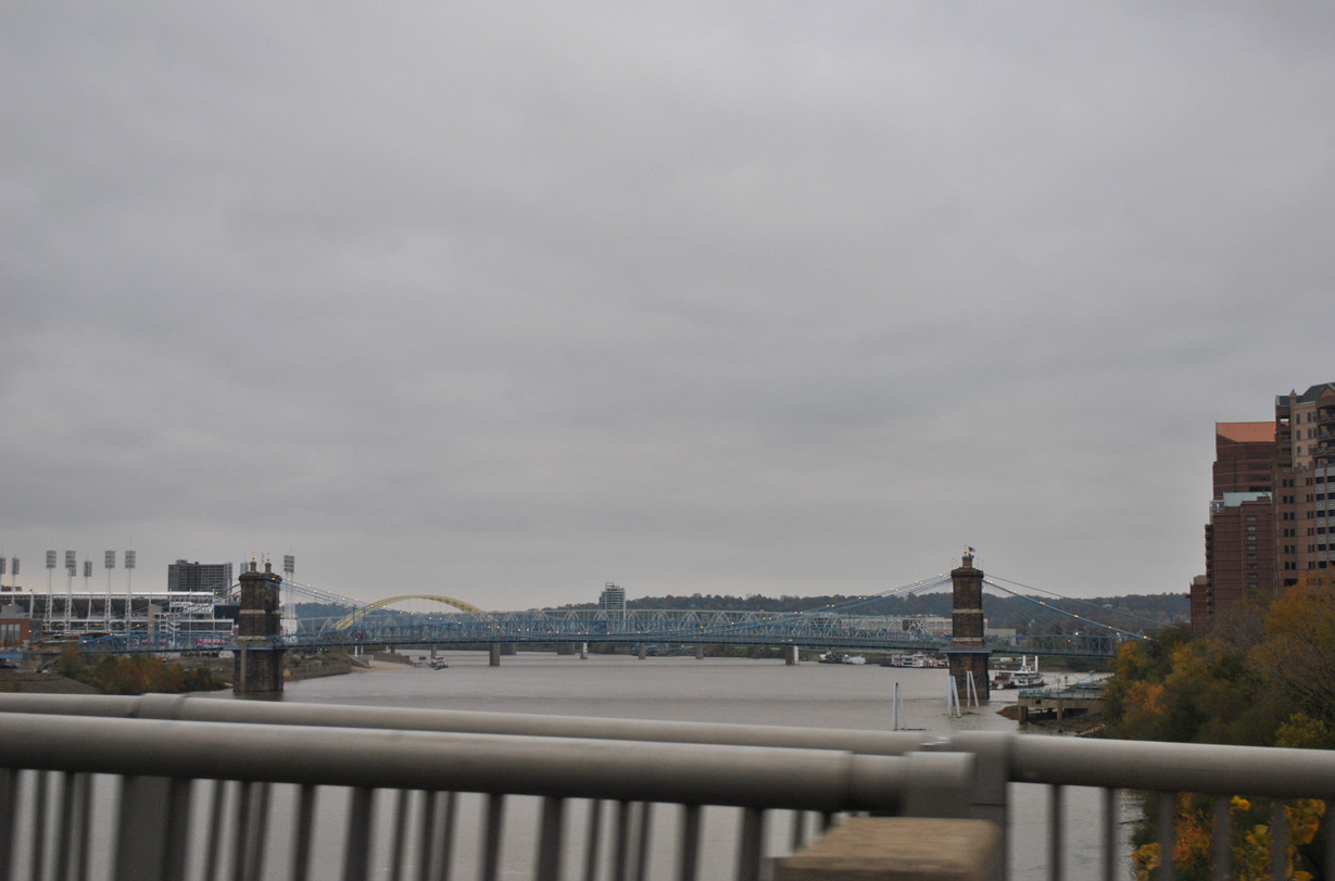
| The John A. Roebling Suspension Bridge connects KY 17 and Downtown Covington with the Cincinnati Riverfront just to the east. The yellow arches of the Daniel Beard Bridge (I-471) appear further east. 11/04/11 |
|
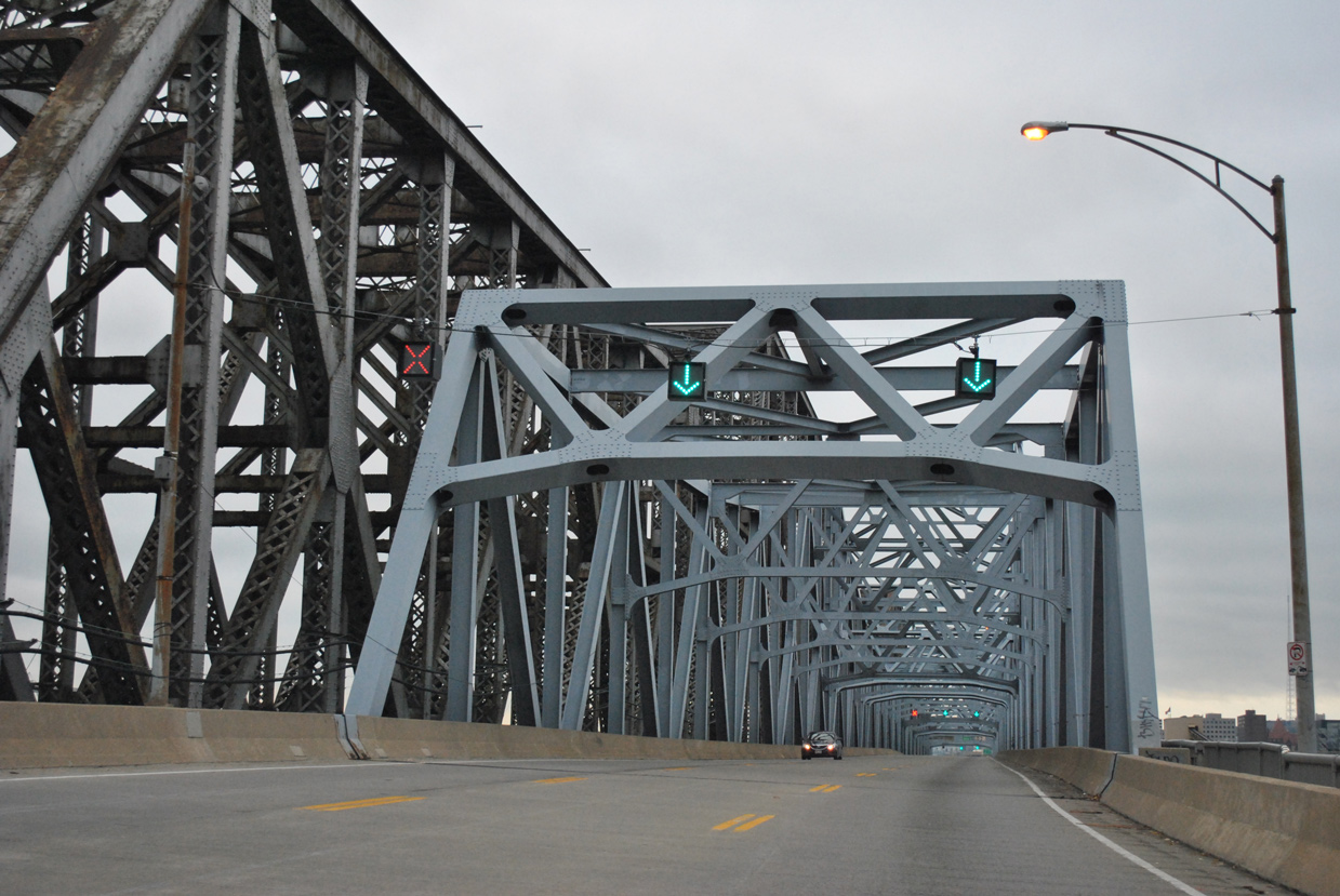
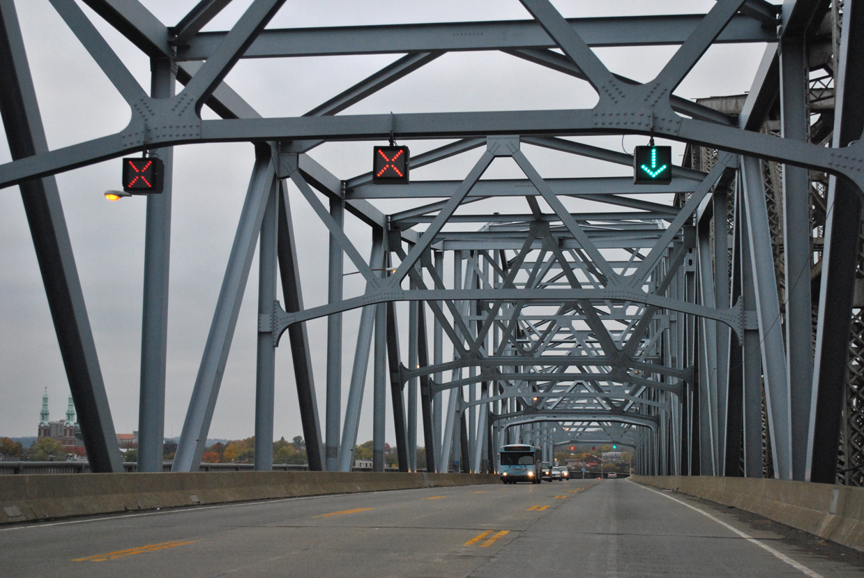
| Lane control signals allow transportation officials to switch the Bailey Bridge to two lanes inbound during the morning peak hours and outbound during the evening. 11/04/11 |
|
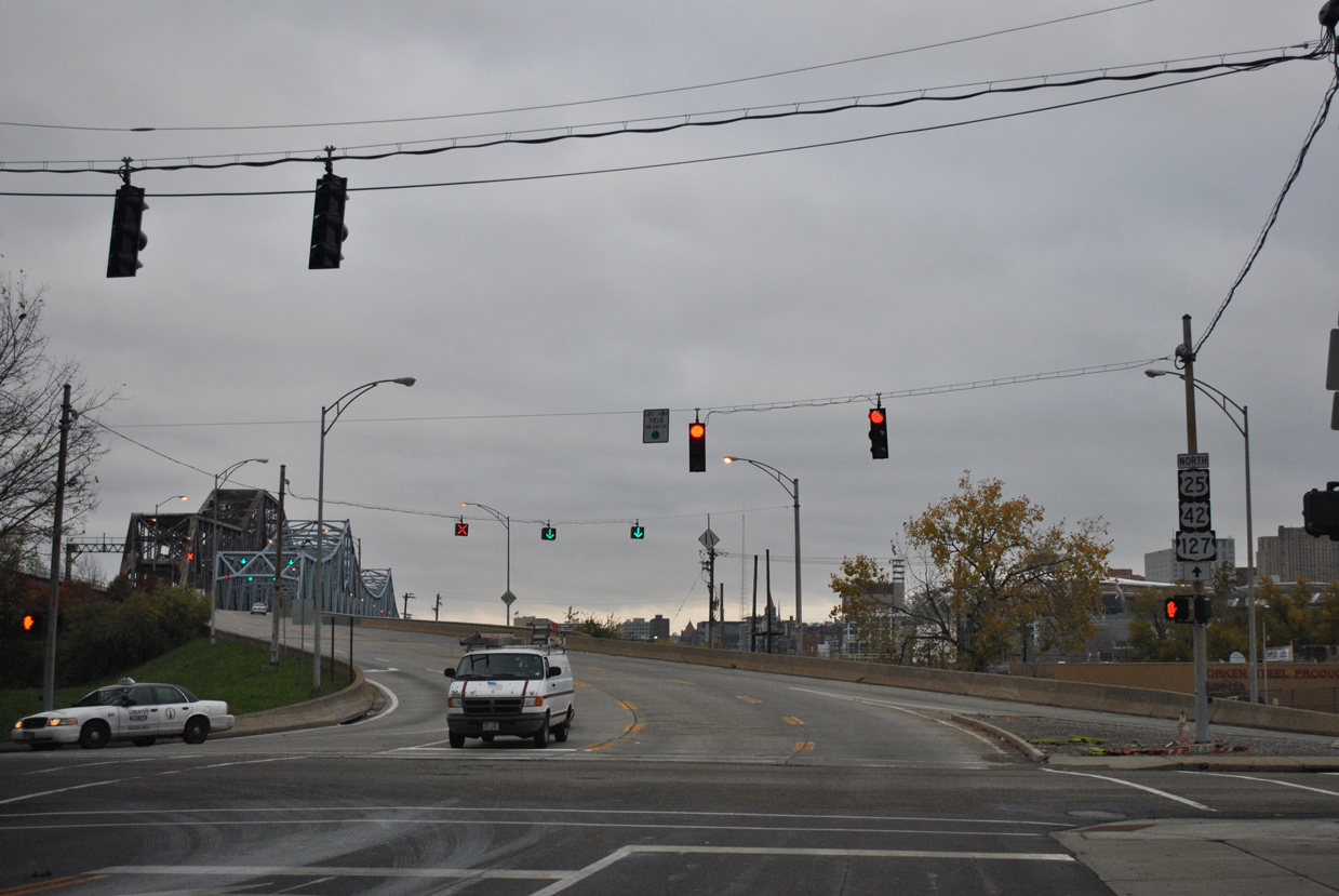
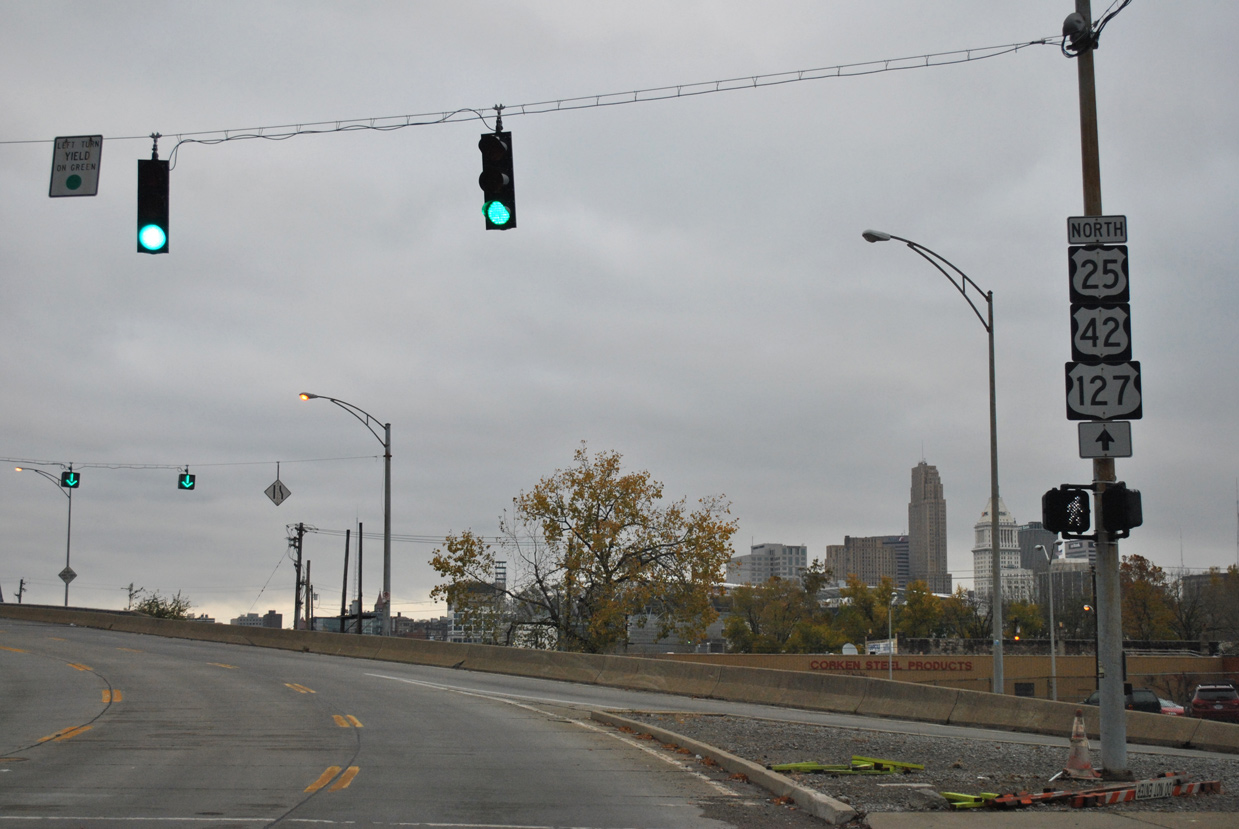
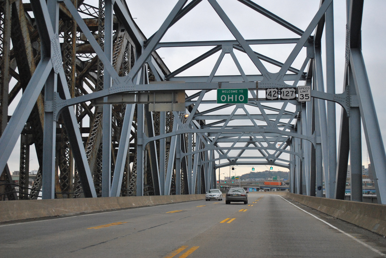
| Nearing the north banks of the river, U.S. 25 ends as U.S. 42 & 127 cross the Ohio state line. 11/04/11 |
|
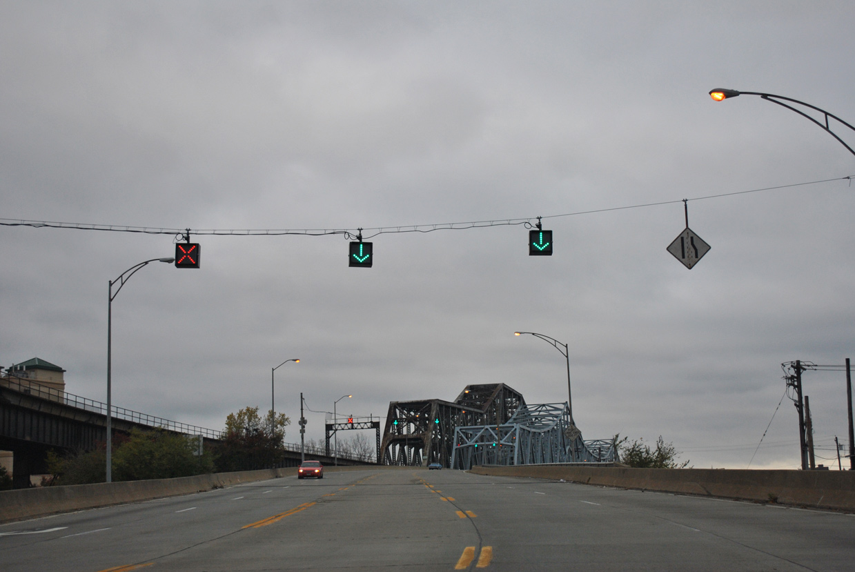
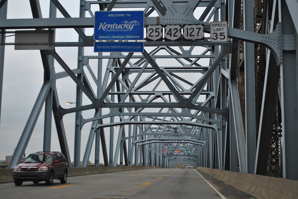
| U.S. 25 begins as the Clay Wade Bailey Bridge crosses the Kentucky state line from Cincinnati. The first reference for U.S. 25 appears along the three-lane span. 11/04/11 |
|
| Lane control signals allow for two northbound lanes during the morning commute and two southbound lanes for the evening peak hours. The Clay Wade Bridge opened in 1974 directly alongside the C&O Railroad Bridge. 11/04/11 |
|
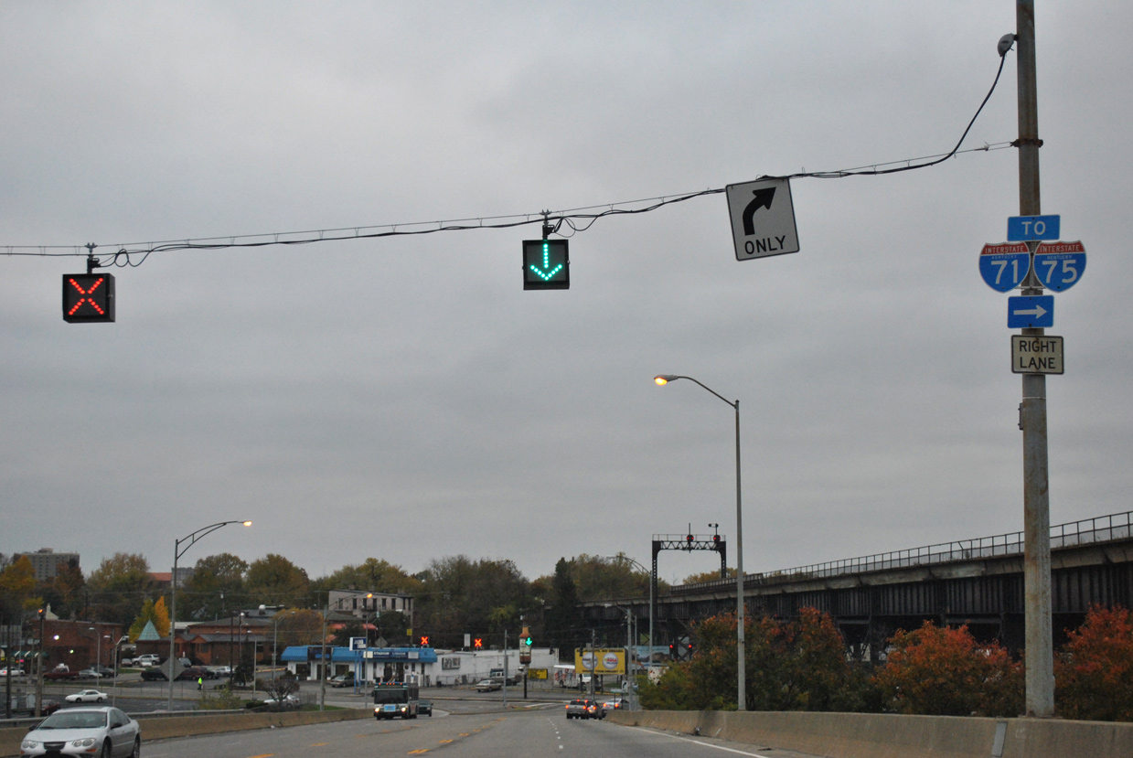
| The trio of routes lower from the Clay Wade Bailey Bridge to intersect KY 8 (4th Street) west to I-71/75. 11/04/11 |
|
| The C&O Railroad angles overhead as U.S. 25-42-127 transition to Main Street. 11/04/11 |
|
| KY 8 partitions along a one way couplet of 4th Street west and 5th Street east between Crescent Avenue and Garrard Street through Downtown Covington. Ramps depart from the state route two blocks to the west for the Brent Spent Bridge back into Cincinnati and I-71/75 south to Erlanger and Florence. 11/04/11 |
|
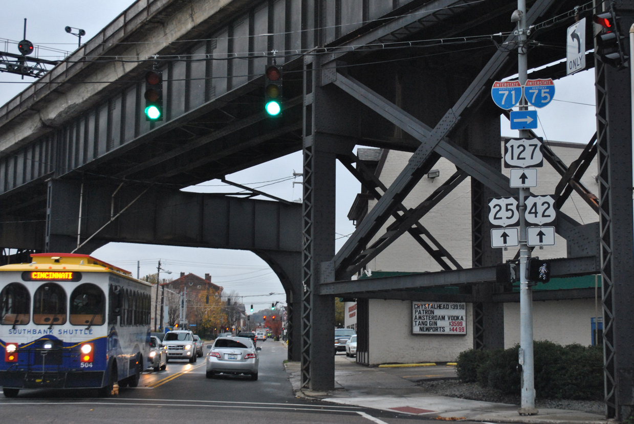
| U.S. 25-42-127 advance south on Main Street to KY 8 (5th Street) east. KY 8 intersects KY 17 (Madison Avenue) south five blocks to the east. 11/04/11 |
|
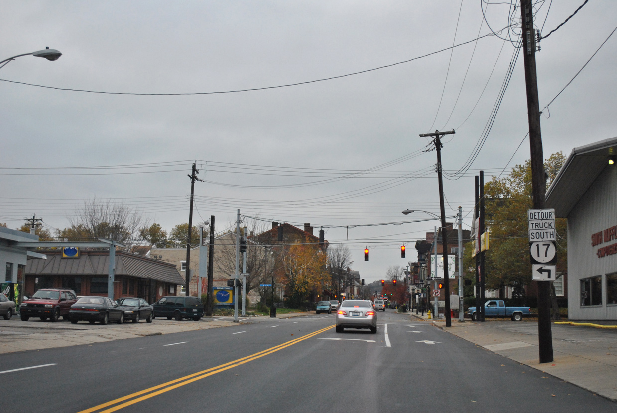
| Main Street south transitions into a residential area at the 6th Street boulevard. 11/04/11 |
|
| Curving south from the Williamstown business district, U.S. 25 (Main Street) originally spanned the parallel Norfolk Southern Railroad on an aging viaduct. 11/08/09 |
|
| The NS Railroad overpass for U.S. 25 at Williamstown was replaced by 2012. A decorative wall on the new crossing mimics the look of the original span here. 11/08/09 |
|
| A short distance further south, U.S. 25 combines with KY 36 east at Jonesville Road. A diamond interchange joins the state route west with Interstate 75 nearby. 11/08/09 |
|
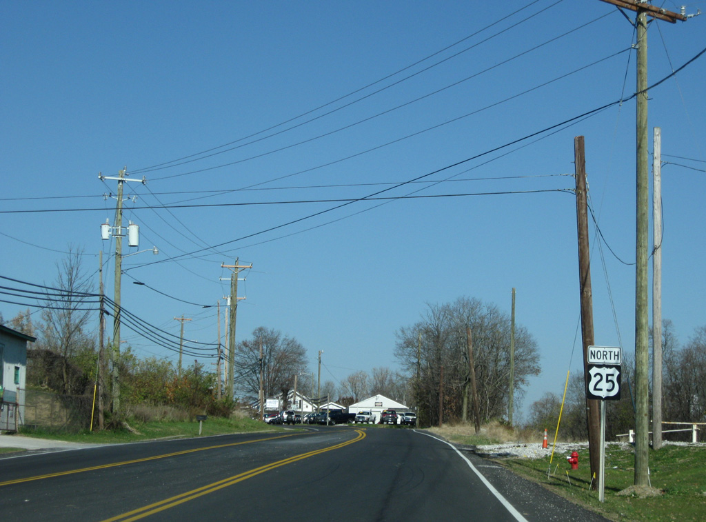
| Confirming marker posted for U.S. 25 south of the overlap with KY 330 west in the rural city of Corinth. 11/08/09 |
|
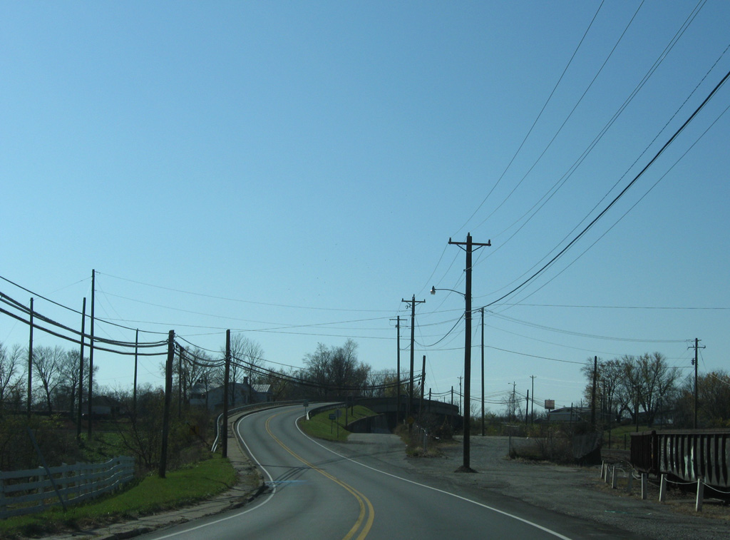
| U.S. 25 crosses the Scott County line at Stringtown Road in Corinth. 11/08/09 |
|
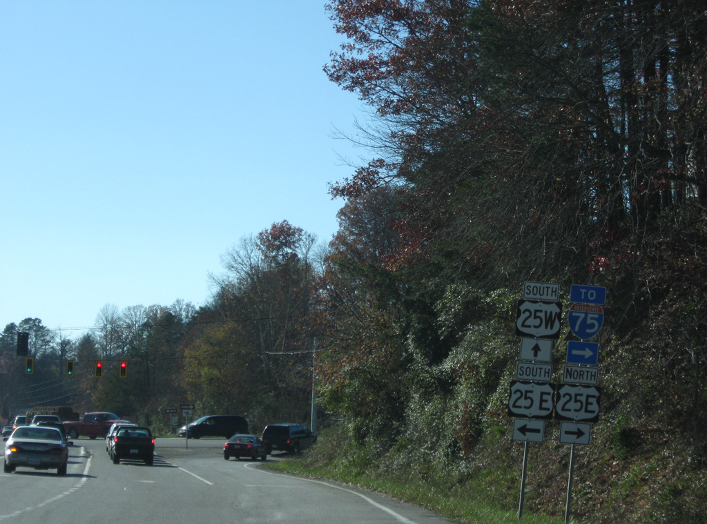
| U.S. 25 split into its East and West branches at Cumberland Gap Parkway in Corbin. U.S. 25E extends west to provide route continuity to Interstate 75 while U.S. 25W arcs southwest to Downtown.
This bank of shields was moved further north during expansion to add dual left turn lanes and an extended right turn lane in 2015. 11/08/09 |
|
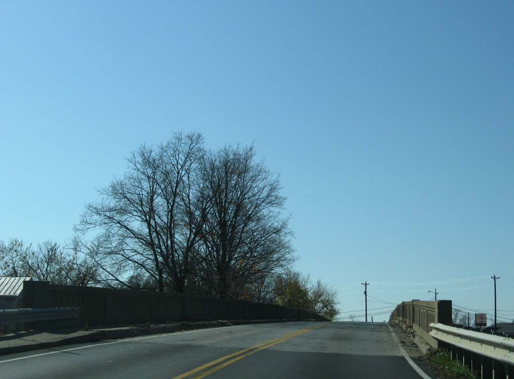
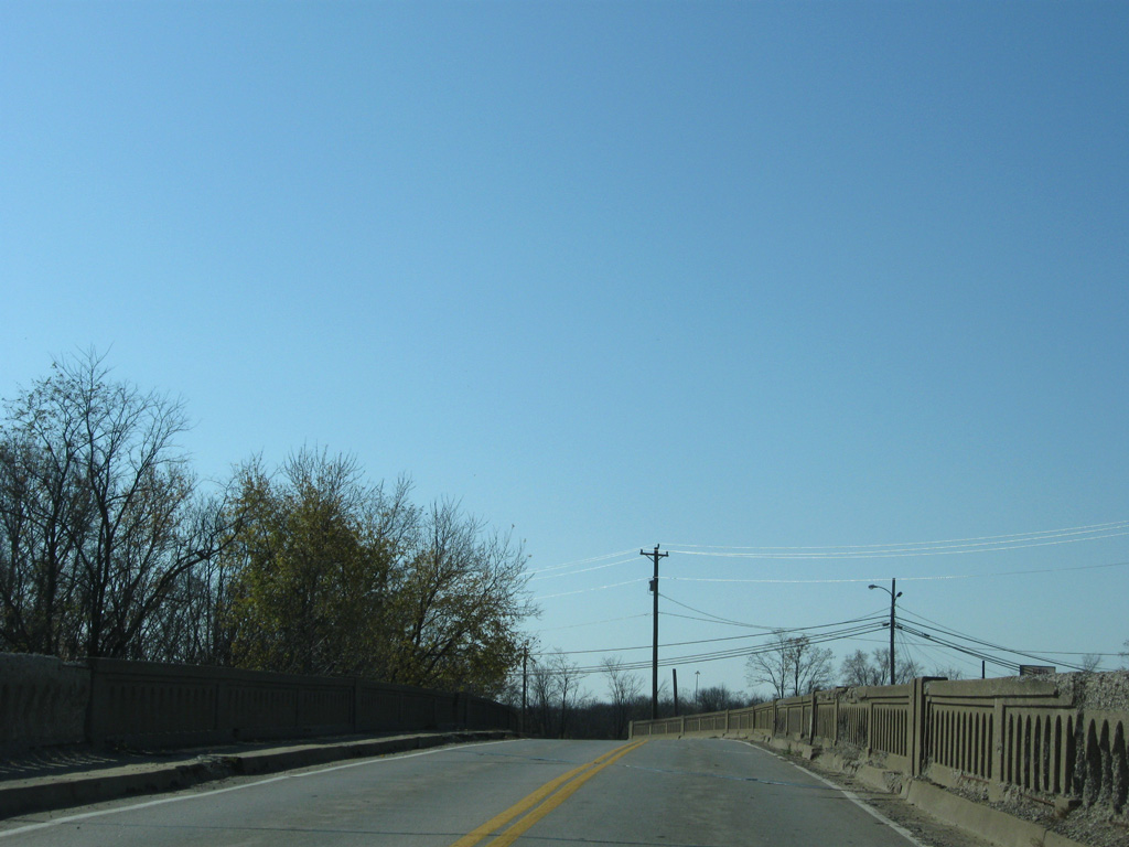
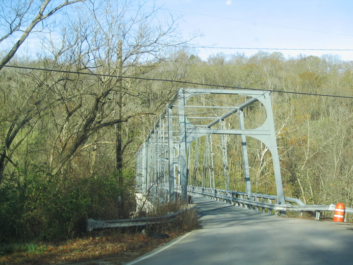
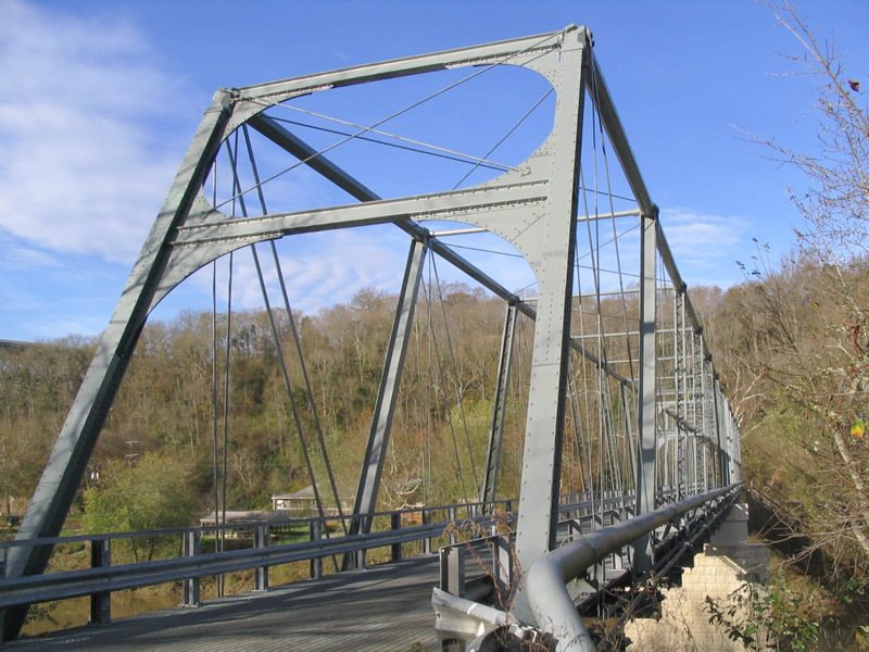
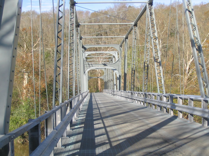
| A narrow truss bridge carries KY 2328 across the Kentucky River east of the high-level Interstate 75 & U.S. 25-421 span. KY 2328 represents the former routing of U.S. 25 before the 1948-span was built nearby. Its bridge opened in 1869.2 10/30/04 |
Page Updated 09-22-2016.

 North
North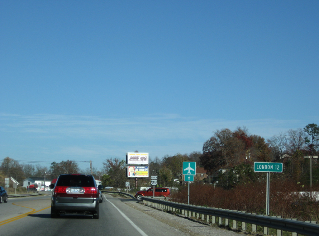

 North
North