|
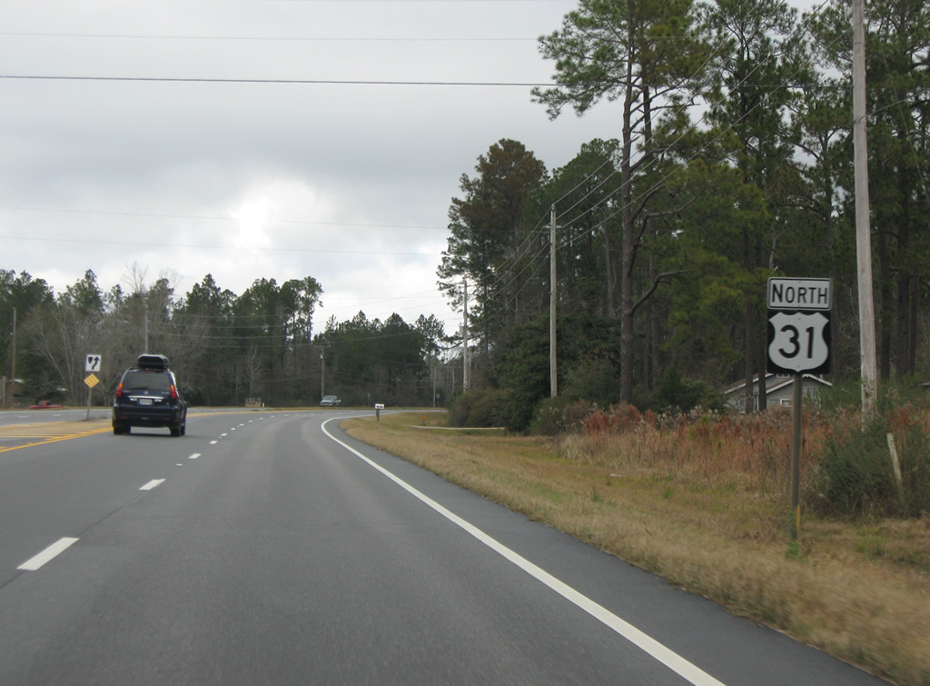
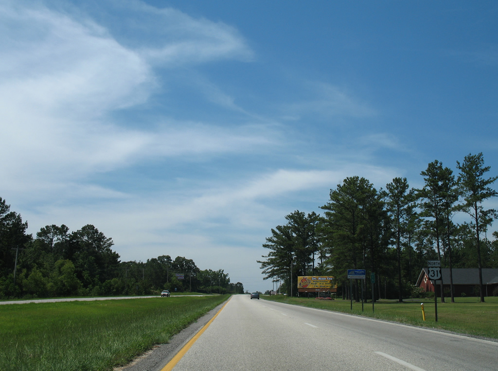
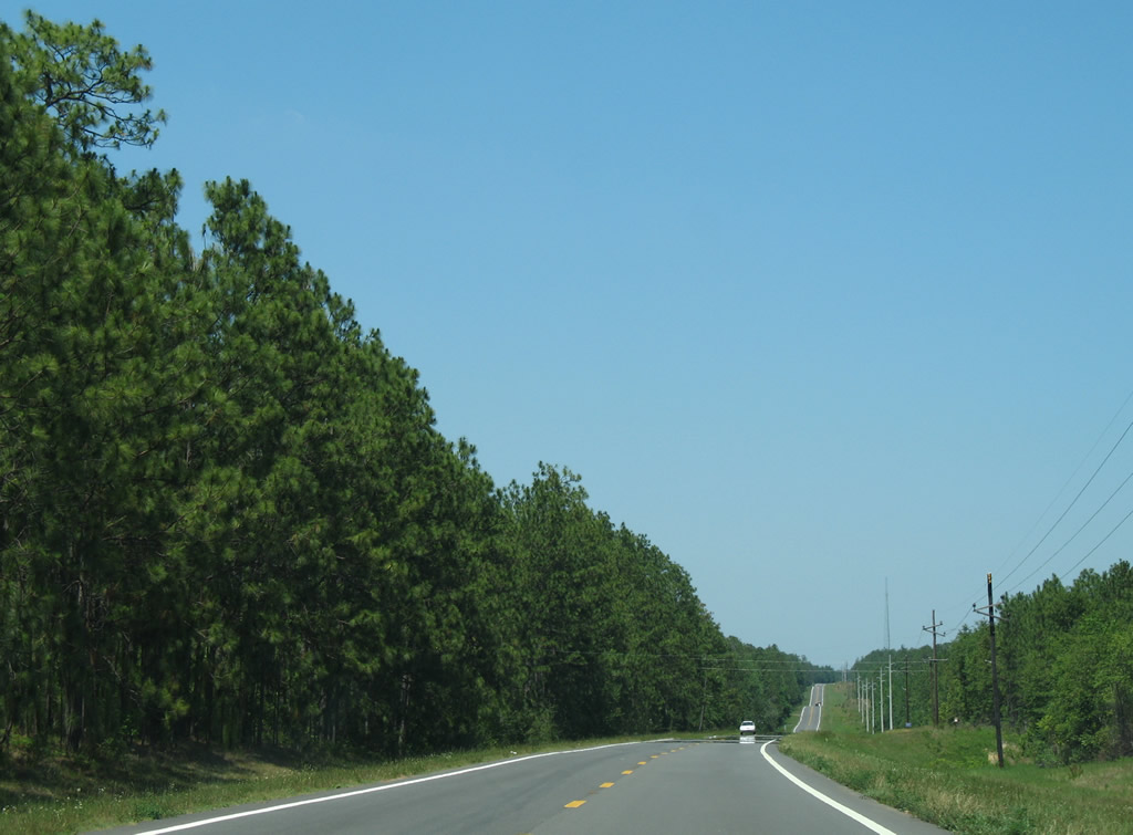
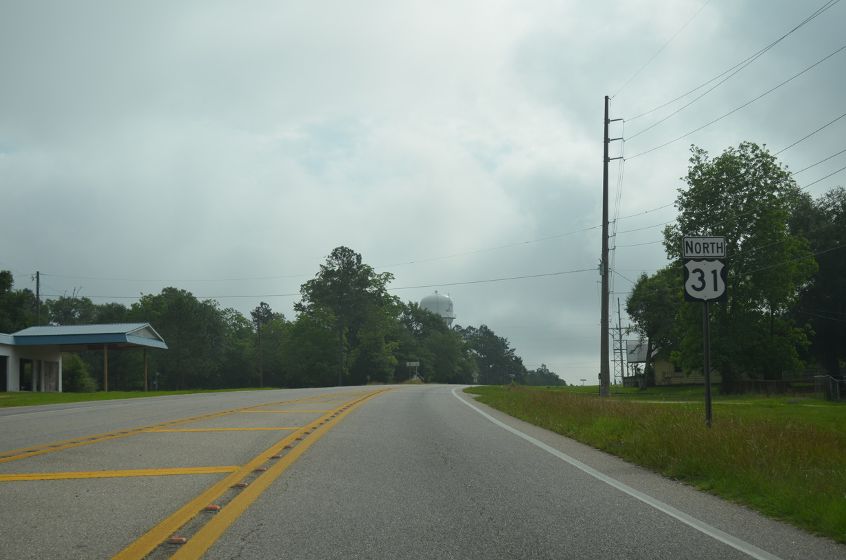
| Paralleling Interstate 10 to the north, the first 5.6 miles of U.S. 31 travel east from Spanish Fort to the Loxley city limits. 05/15/16 |
|
| 23.91 miles in length, SR 225 connects U.S. 31 with suburban areas of north of Bay Minette Creek, Historic Blakeley State Park, I-65 at Exit 31 and Stockton. 05/15/16 |
|
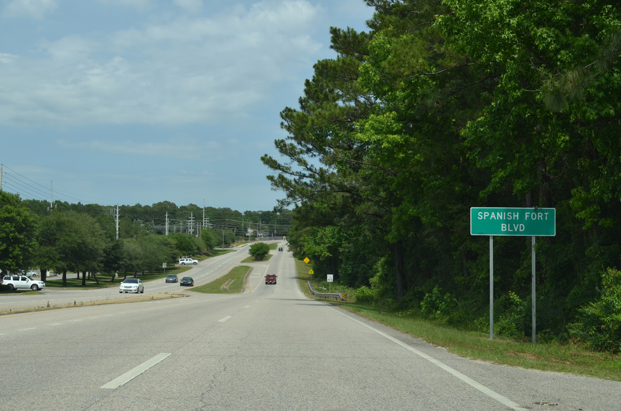
| U.S. 31 (Spanish Fort Boulevard) initially follows a four lane parkway to SR 225. Construction from 2017 to December 20211 expanded the ensuing 3.1 miles into a five lane boulevard. 05/15/16 |
|
| School Road loops south from SR 225 to U.S. 31 (Spanish Fort Boulevard) across from Westminster Drive. 05/15/16 |
|
| Blakeley Way, the western branch of CR 72, arcs 1.2 miles north from U.S. 31 (Spanish Fort Boulevard) to SR 225 (Blakely Drive). 05/15/16 |
|
| The first confirming marker for U.S. 31 previously stood just east of Blakeley Way (CR 72). 05/15/16 |
|
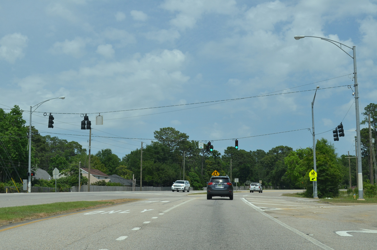
| Timbercreek Boulevard ties into U.S. 31 (Spanish Fort Boulevard) from the TimberCreek Golf Club community in the city of Daphne. 05/15/16 |
|
| The eastern branch of CR 72 is a spur north along Stagecoach and Buzbee Roads. 05/15/16 |
|
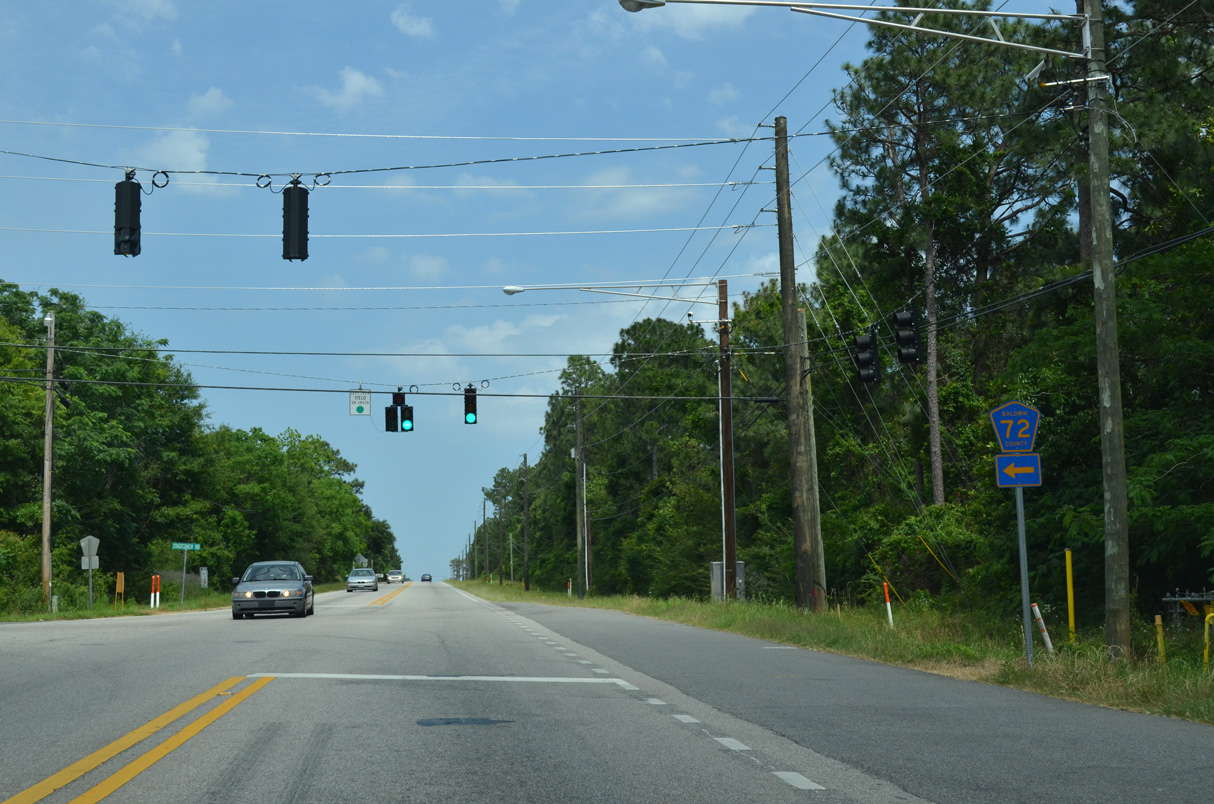
| CR 72 angles 3.4 miles northwest from U.S. 31 in Spanish Fort to Buzbee Landing along Bay Minette Creek. 05/15/16 |
|
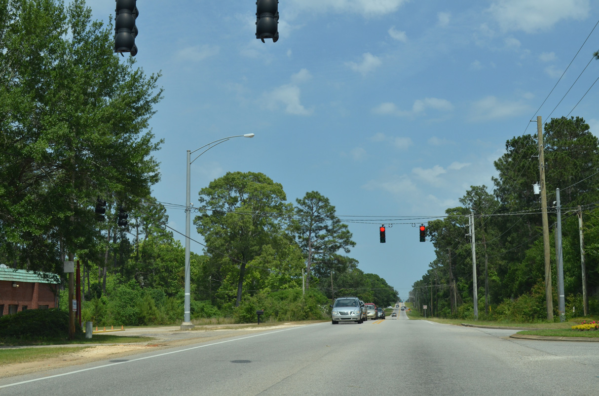
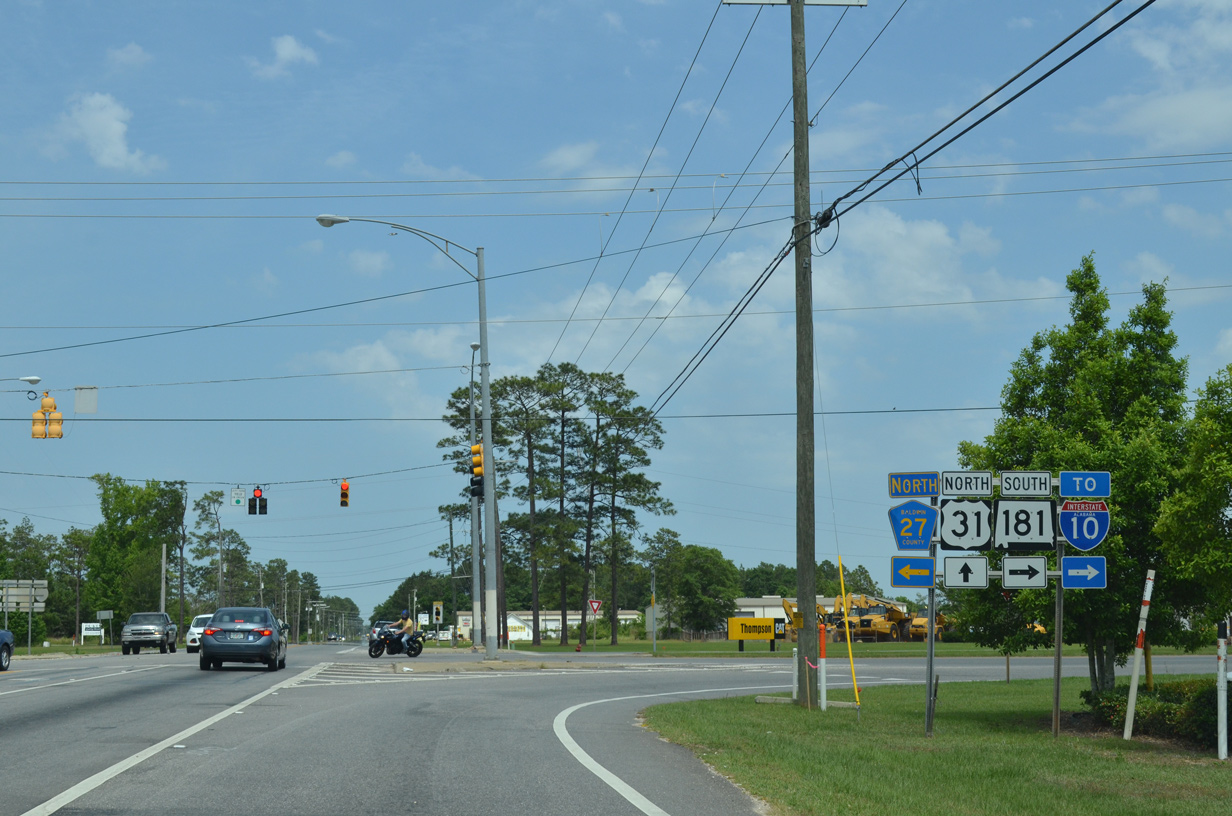
| SR 181 is a 18.24 mile long suburban arterial leading south from U.S. 31 along eastern reaches of Daphne and Fairhope to U.S. 98 near Weeks Bay. Prior to July 2004, SR 181 was just 1.44 miles long, following Malbis Plantation Parkway between U.S. 31 and U.S. 90 at Malbis. 05/15/16 |
|
| Built in the early 2000s, Eastern Shore Centre anchors the commercial corridor lining SR 181 south to I-10 and Malbis. Constructed in 2004, CR 27 (Jimmy Faulkner Drive) extends north to Spanish Fort High School and Bromley Road. 05/15/16 |
|
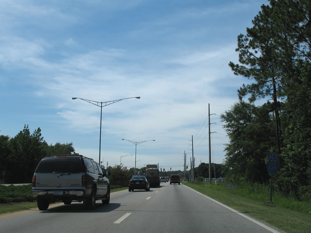
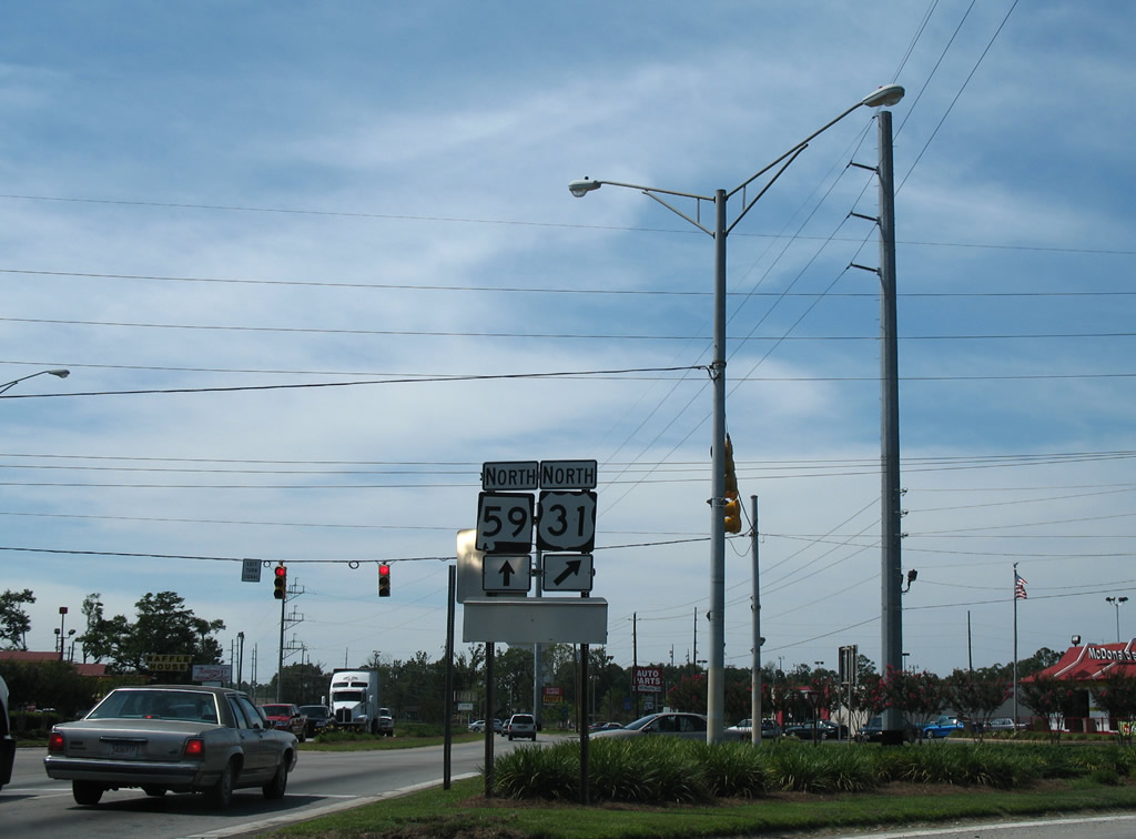
| U.S. 31 curves northeast between the Loxley and Spanish Fort city limits to meet Bromley Road and SR 59 (Gulf Shores Parkway) at Pine Haven. 06/06/06 |
|
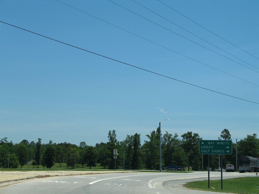
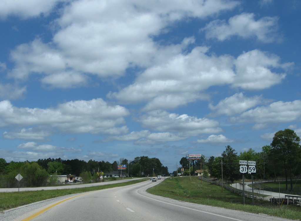
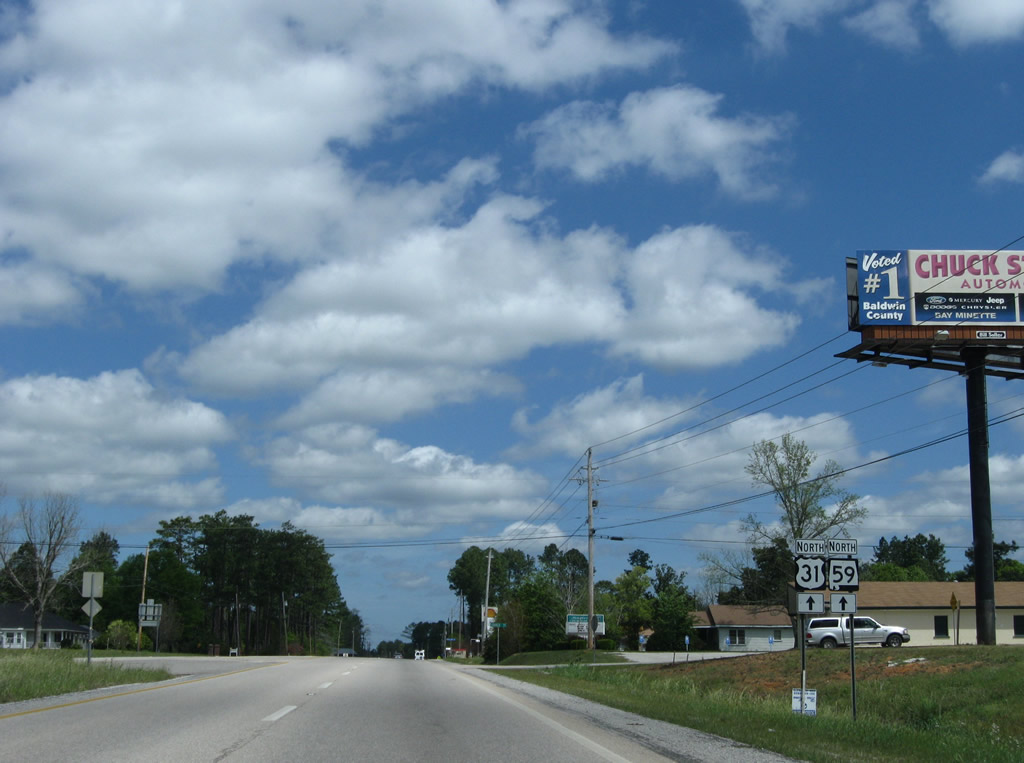
| SR 59 constitutes the main route between the resort areas of Gulf Shores and Orange Beach and points north via Interstate 65. SR 59 also joins Foley with Loxley and the county seat of Bay Minette. 06/06/06 |
|
| SR 3, the unmarked counterpart of U.S. 31 in southern Alabama, historically extended south along SR 59 to Gulf Shores. SR 59 took over sometime after 1950, when SR 3 replaced SR 12 as the unsigned route for U.S. 31. 06/06/06 |
|
| U.S. 31/SR 59 north combine for 10.63 miles between Pine Haven and Bay Minette along Gulf Shores Parkway. 06/06/06 |
|
| U.S. 31/SR 59 combine north ahead of the unincorporated community of Stapleton. 04/09/09 |
|
| Trailblazers for U.S. 31/SR 59 precede Church Street along Gulf Shores Parkway northbound at Stapleton. 04/09/09 |
|
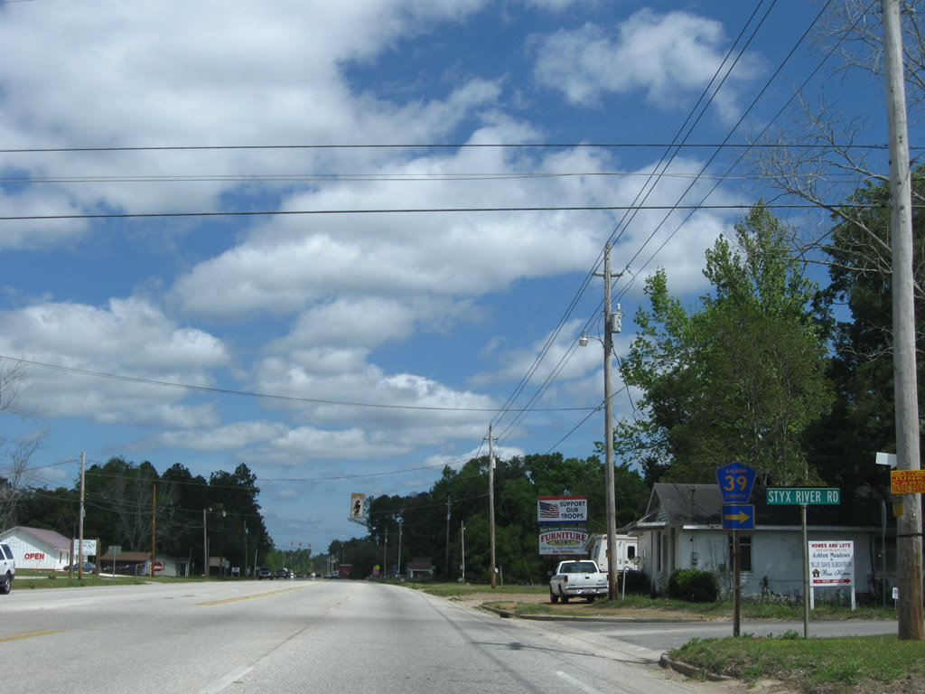
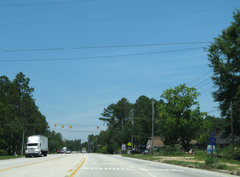
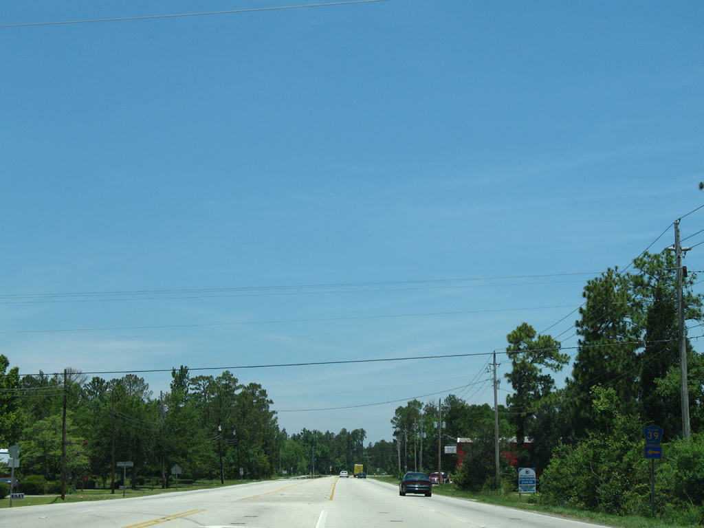
| CR 39 (Styx River Road) spurs 2.8 miles from U.S. 31/SR 59 (Gulf Shores Parkway) to end at a hunting area east of Stapleton. 04/09/09 |
|
| The western branch of CR 39 angles 5.2 miles northwest from Stapleton to CR 40 near Whitehouse Forks. 06/06/06 |
|
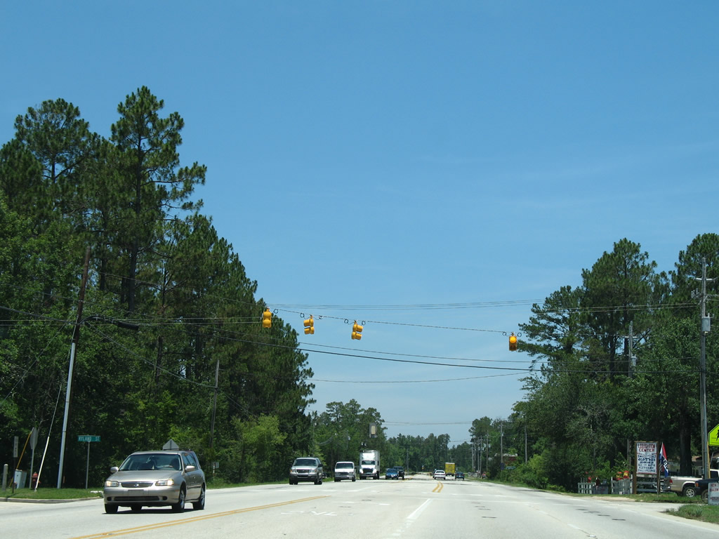
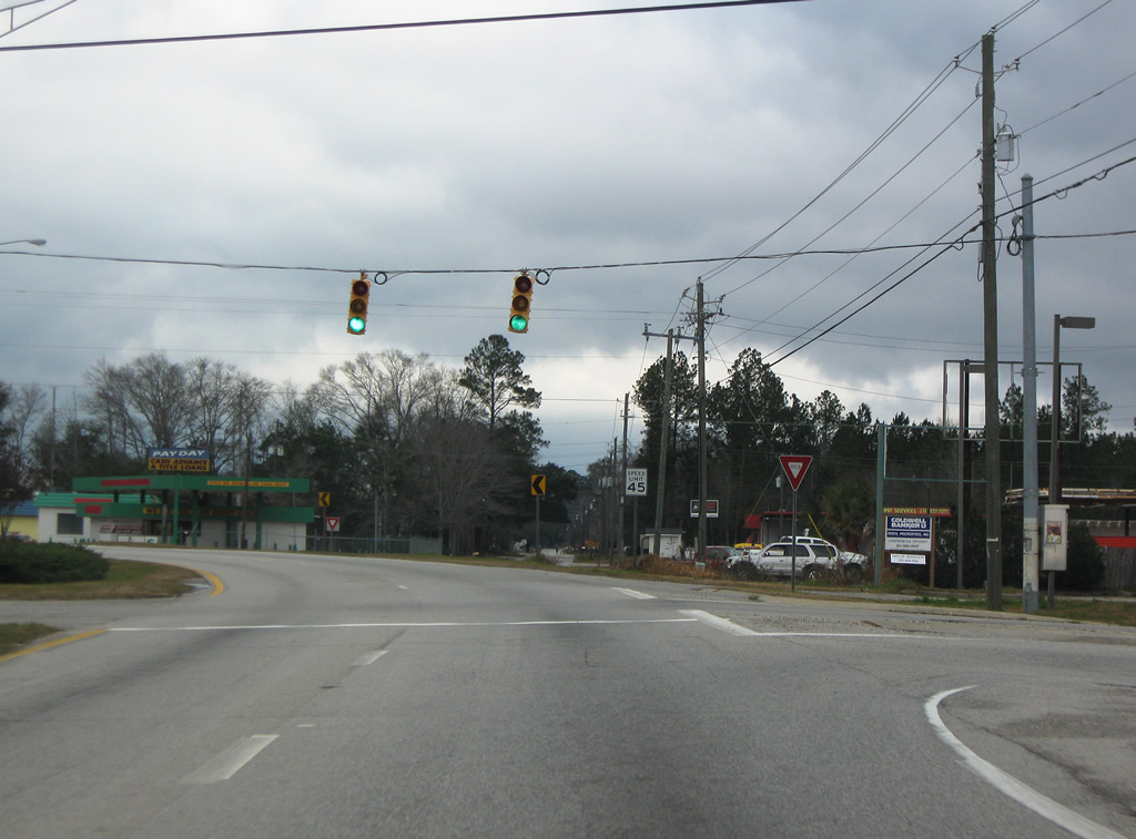
| A set of flashers operate along U.S. 31/SR 59 at Ryland Street. Ryland Street is a residential street serving an elementary school. 06/06/06 |
|
| Beyond a short overlap with CR 40, CR 39 continues to CR 138 (Hurricane Road) near Crossroads, 7.5 miles northwest from Stapleton. 06/06/06 |
|
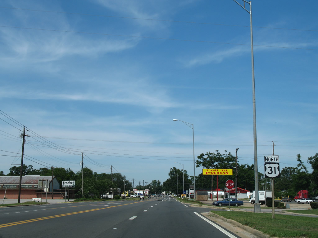
| Gulf Shores Parkway expands with the roadways separated by a grassy median and a 65 MPH speed limit between Stapleton and the county seat. 01/01/10 |
|
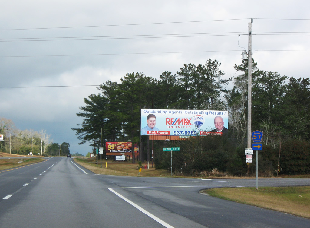
| CR 57 (Pine Grove Road Extension) loops east from U.S. 31/SR 59 onto Pine Grove Road north through the industrial south side of Bay Minette. CR 57 is only signed at the intersection with Gulf Shores Parkway. 01/01/10 |
|
| Reassurance shield posted after CR 57 (Pine Grove Road Extension) east on U.S. 31/SR 59 north. 06/06/06 |
|
| Dickman Road links Gulf Shores Parkway with an industrial park and CR 40 (Nicholsville Road) to the east. Freeview Road spurs west to the Douglasville community in south Bay Minette. 01/01/10 |
|
| U.S. 31/SR 59 enter the Bay Minette city limits near CR 40 (Old Daphne Road). Gulf Shores Parkway becomes an arterial with industrial type businesses, strip malls and car dealerships north from CR 138 (W Hurricane Road). CR 138 was SR 138 until sometime after 1982. 06/06/06 |
|
| W Hurricane Road leads CR 138 west through the Douglasville community in Bay Minette. Beyond the city limits, CR 138 advances to Crossroads at SR 225 (Blakeley Road) and CR 86. 06/06/06 |
|
| Continuing north from CR 138 along U.S. 31/SR 59. 06/06/06 |
|
| U.S. 31/SR 59 separate beyond the CSX Railroad underpass west of Downtown Bay Minette. Bypassing the city street grid to the northwest, SR 59 continues north along McMeans Avenue (Gulf Shores Parkway). U.S. 31 turns east on D'Olive Street to Courthouse Square. 06/06/06 |
|
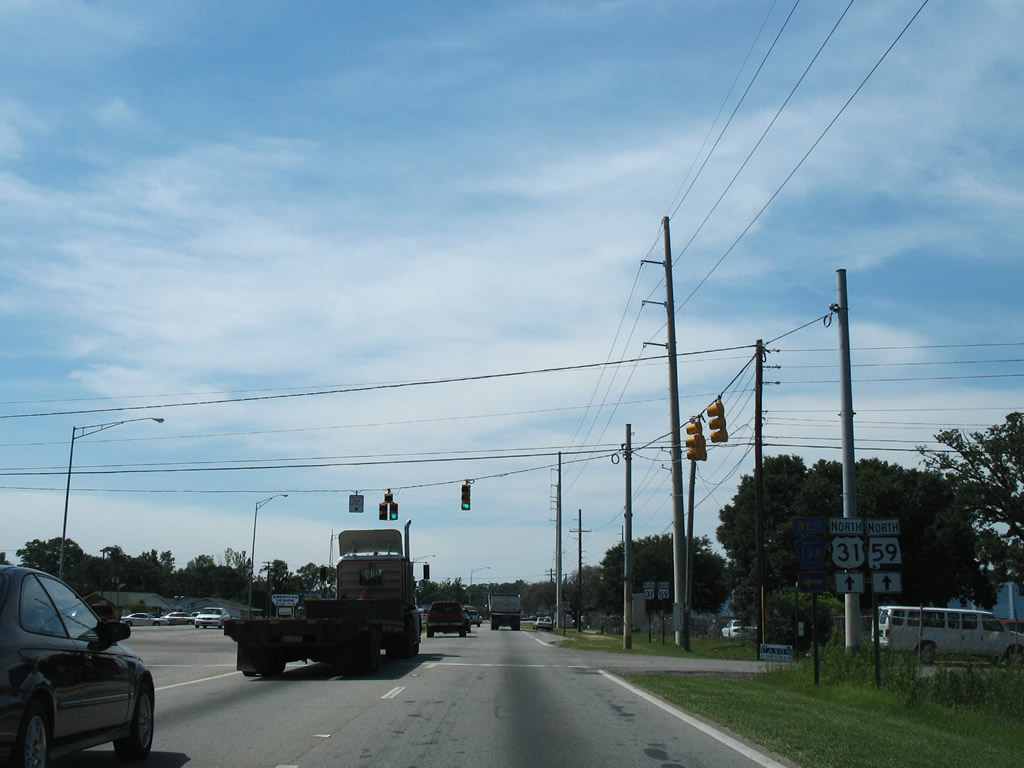
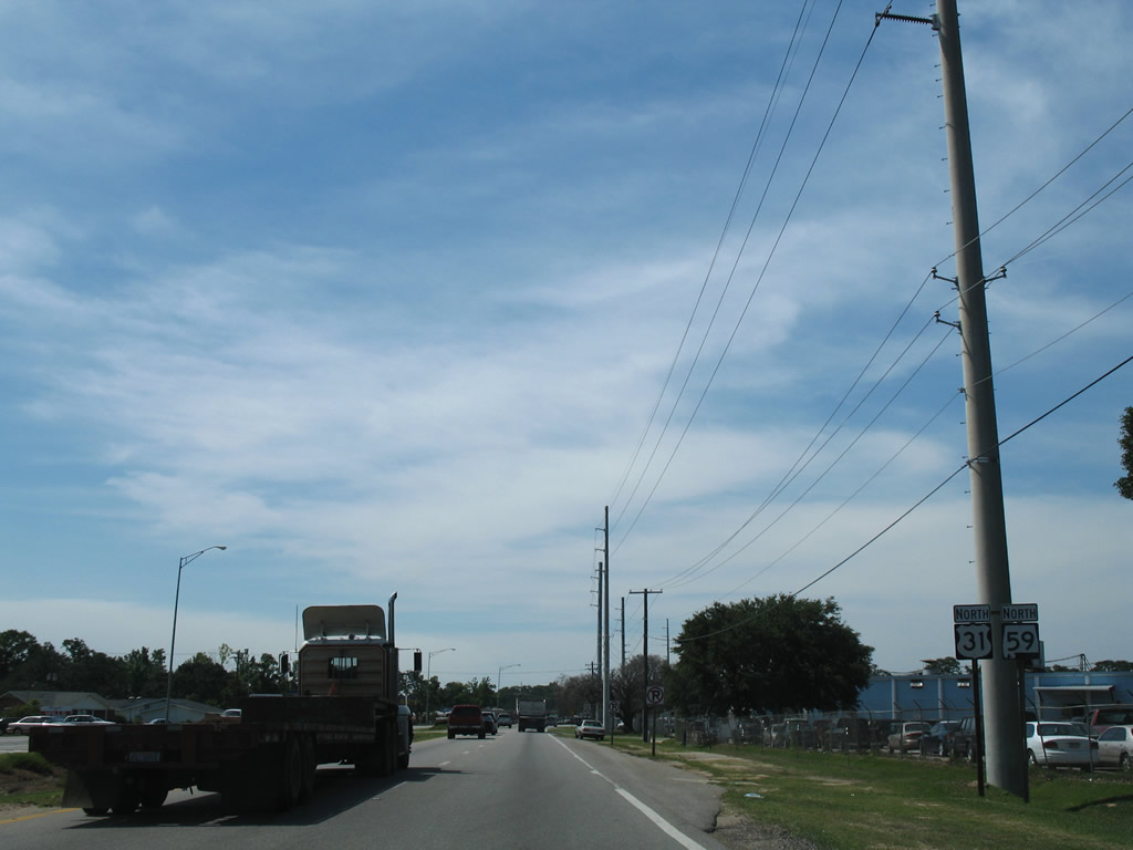
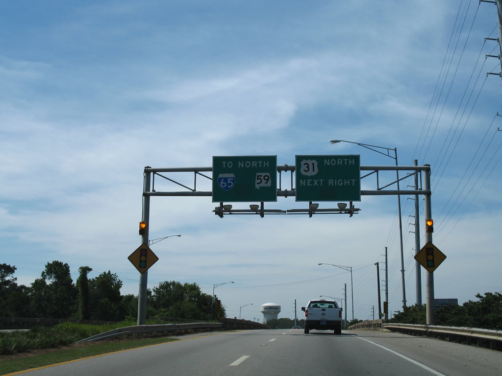
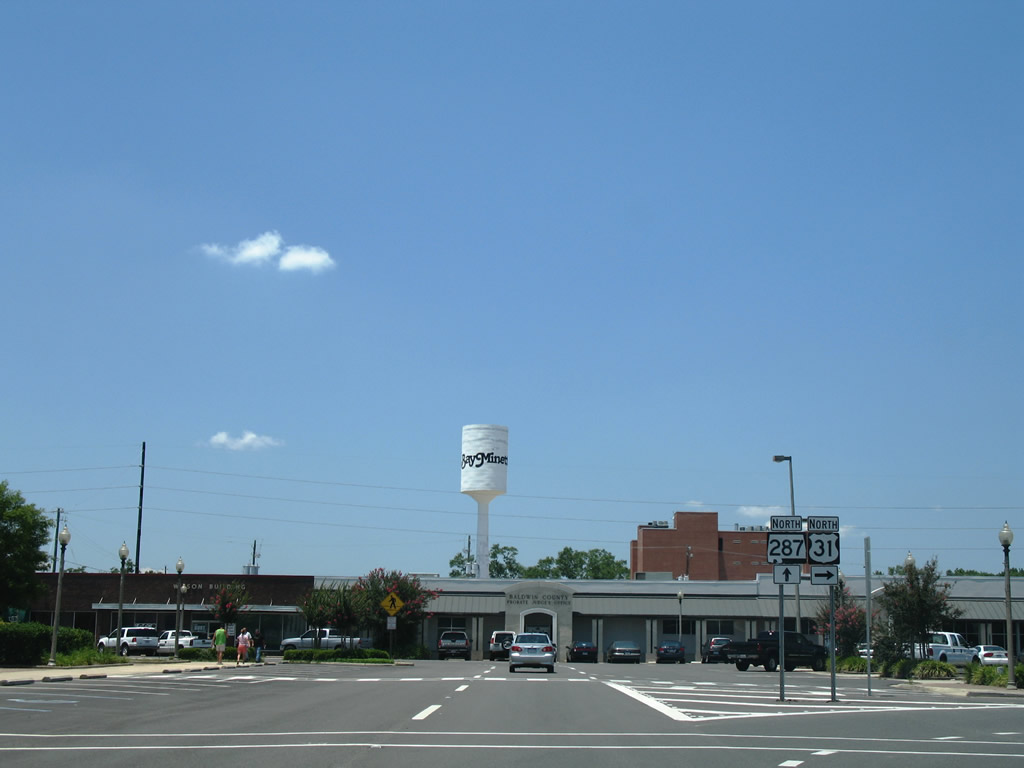
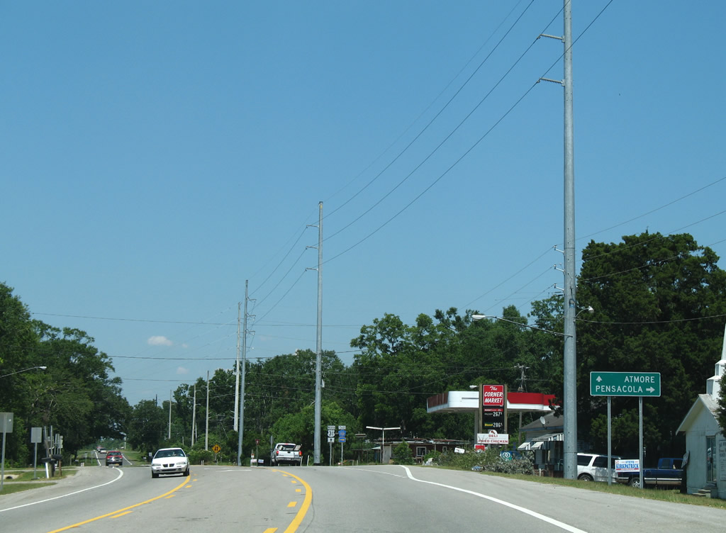
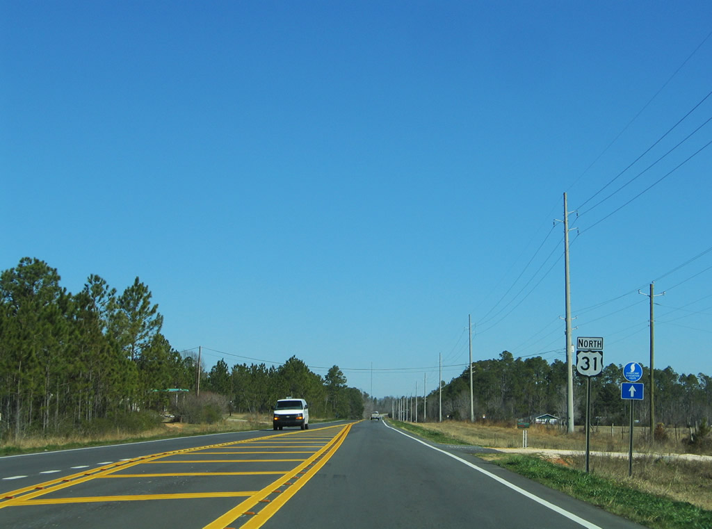
| U.S. 31 heads northeast from Bay Minette to Perdido and Atmore. SR 59 converges with SR 287 in north Bay Minette, where Gulf Shores Parkway shifts northeast to I-65. SR 59 travels northwest to I-65 and Stockton then northeast to SR 21 at Uriah. 06/06/06 |
|
| D'Olive Street constitutes a five lane boulevard east from SR 59 (McMeans Avenue) 0.6 miles to Downtown Bay Minette. 06/06/06 |
|
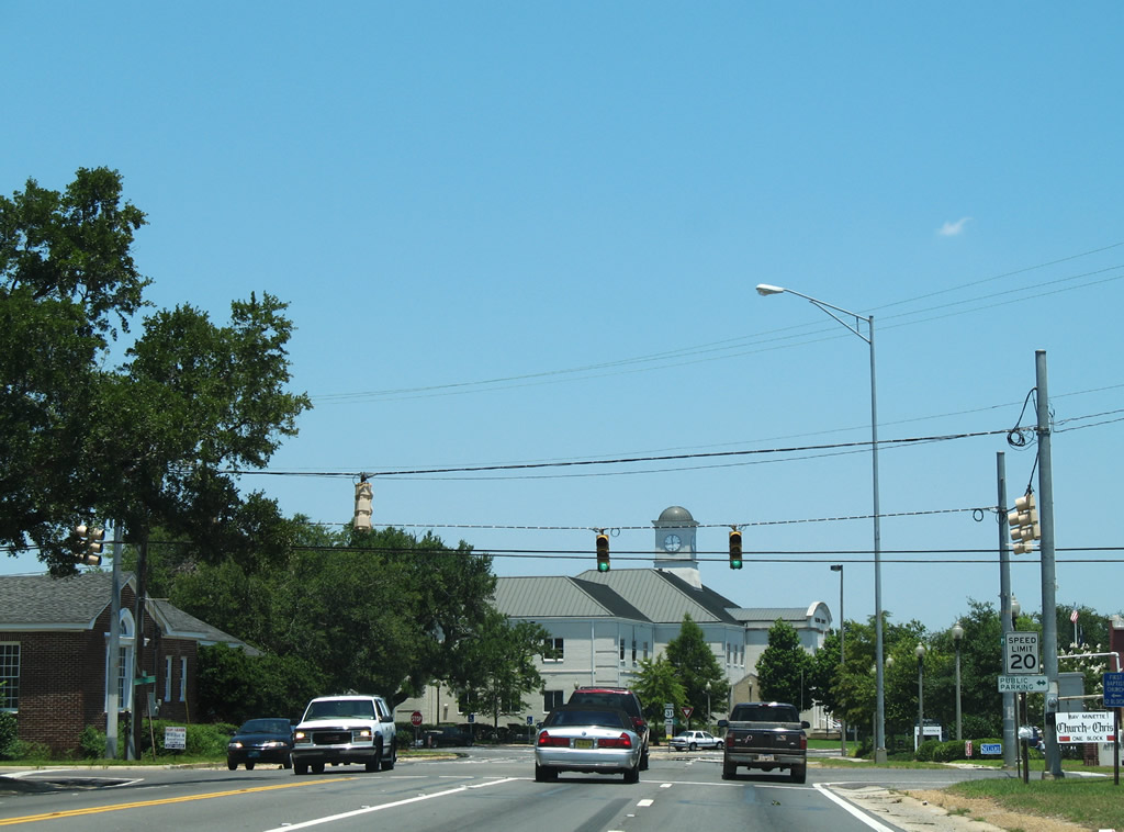
| The Baldwin County Courthouse appears beyond the signalized intersection with Hall Avenue at Downtown Bay Minette. 06/05/06 |
|
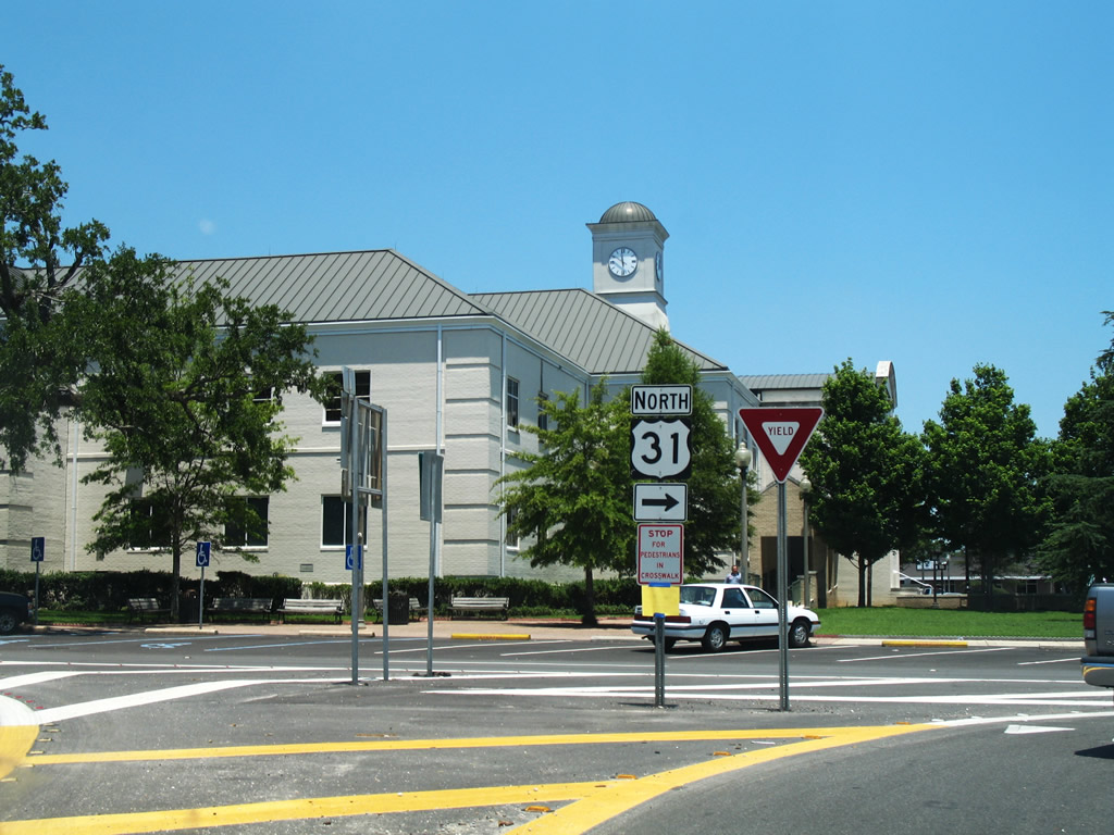
| Like many southern Alabama county seats, Bay Minette includes a town square at its city center. U.S. 31 follows Courthouse Square eastbound between D'Olive Street and E 2nd Street. SR 287 ties into the north side of the square at Hand Avenue. 06/05/06 |
|
| U.S. 31 turns onto E 2nd Street from Courthouse Square north ahead of SR 287. SR 287 is a 6.25 mile long route following Hand Avenue north to SR 59 and Gulf Shores Parkway northeast to I-65 at CR 47. 06/05/06 |
|
| Hoyle Avenue intersects U.S. 31 (E 2nd Street) a half block beyond Courthouse Square. Unmarked, Hoyle Avenue is part of CR 57 south to Brady Road N Extension across from Nicholsville Road (CR 40). 06/05/06 |
|
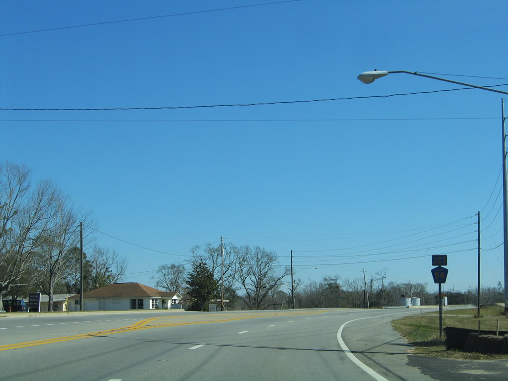
| U.S. 31 (E 2nd Street) shifts northward through an S-curve to CR 58 (Rockhill Road) north by a CSX Railroad underpass. 02/08/06 |
|
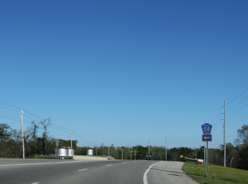
| Serving a handful of residences, CR 58 spurs 0.9 miles north along Rockhill Road to Lee Avenue. 03/20/09 |
|
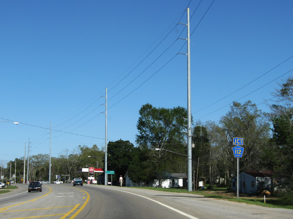
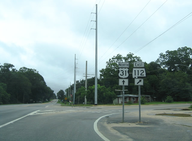
| CR 112 (Old Pensacola Road) branches east from U.S. 31 just ahead of the Bay Minette city line. Baldwin County took over maintenance along Old Pensacola Road from ALDOT in July 2004. 03/20/09 |
|
| CR 112 (Old Pensacola Road) travels 30.20 miles southeast through large tracts of pine forest to Gateswood and Escambia, County, Florida at Muscogee. 06/05/06 |
|
| A mileage swap between ALDOT and Baldwin County eliminated SR 112 in favor or extending SR 181 south along CR 27 from Malbis to U.S. 98 near Weeks Bay. Signs for SR 112 were switched to CR 112 by early 2006. 06/14/04 |
|
| CR 112 (Old Pensacola Road) east becomes Escambia County Route 184 at the Perdido River. CR 184 connects with CR 99 south to I-10 and U.S. 29 at Cantonment. 03/20/09 |
|
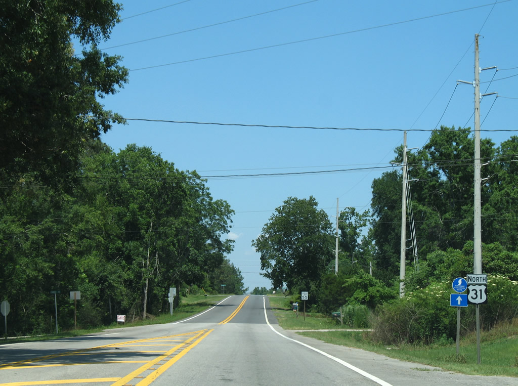
| U.S. 31 north vacates the Bay Minette city limits at Crosby Mill Road. 06/05/06 |
|
| U.S. 31 lowers from an elevation of 245 feet above sea level at Old Carney Road to McCurlin Creek. 06/05/06 |
|
| CR 61 (Phillipsville Road) stems south from U.S. 31 to Phillipsville and CR 112 near Hollinger Creek. 02/08/06 |
|
| U.S. 31 north at the southern branch of County Road 61 along Phillipsville Road. 02/08/06 |
|
| U.S. 31 advances one mile northeast to the northern leg of CR 61 (Cemetery Road) at Perdido. 02/08/06 |
|
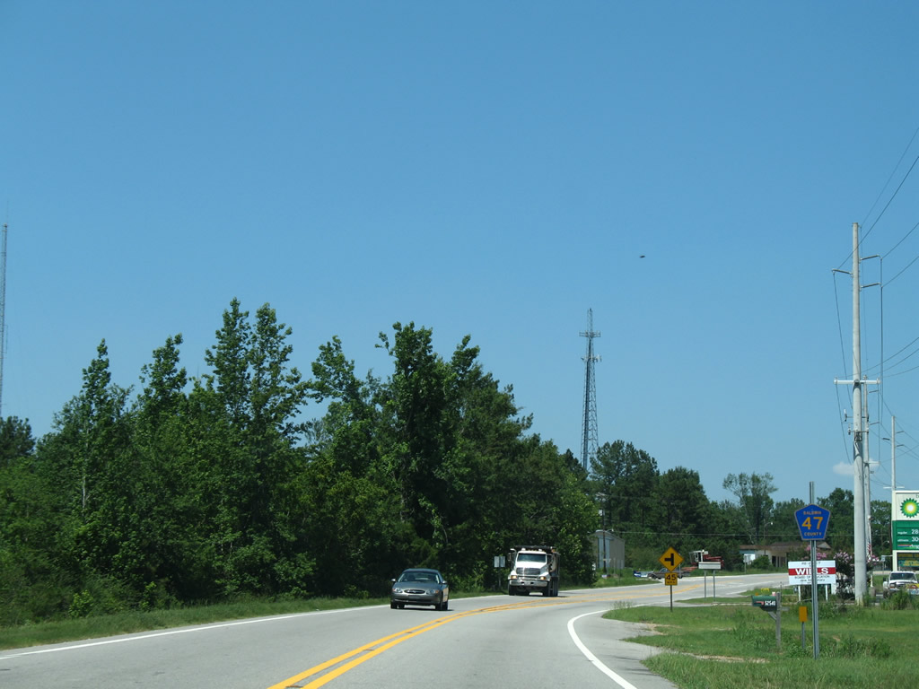
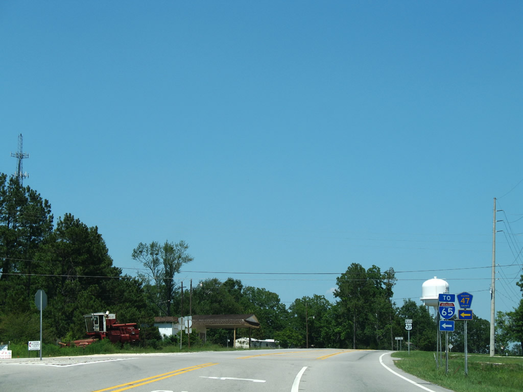
| U.S. 31 meets CR 47 west 0.3 miles east of Cemetery Road (CR 61). The southern branch of CR 47 loops 12.7 miles west from U.S. 31 at Perdido to Rabun and I-65 at Exit 37. 06/05/06 |
|
| CR 47 links U.S. 31 with CR 61 (Lottie Road) north to Lottie and Redtown. CR 47 connects with Interstate 65 at Exit 45 in 3.3 miles. 06/05/06 |
|
| Confirming marker posted northbound between CR 47 and Martin Hadley Lane at Perdido. 05/12/16 |
|
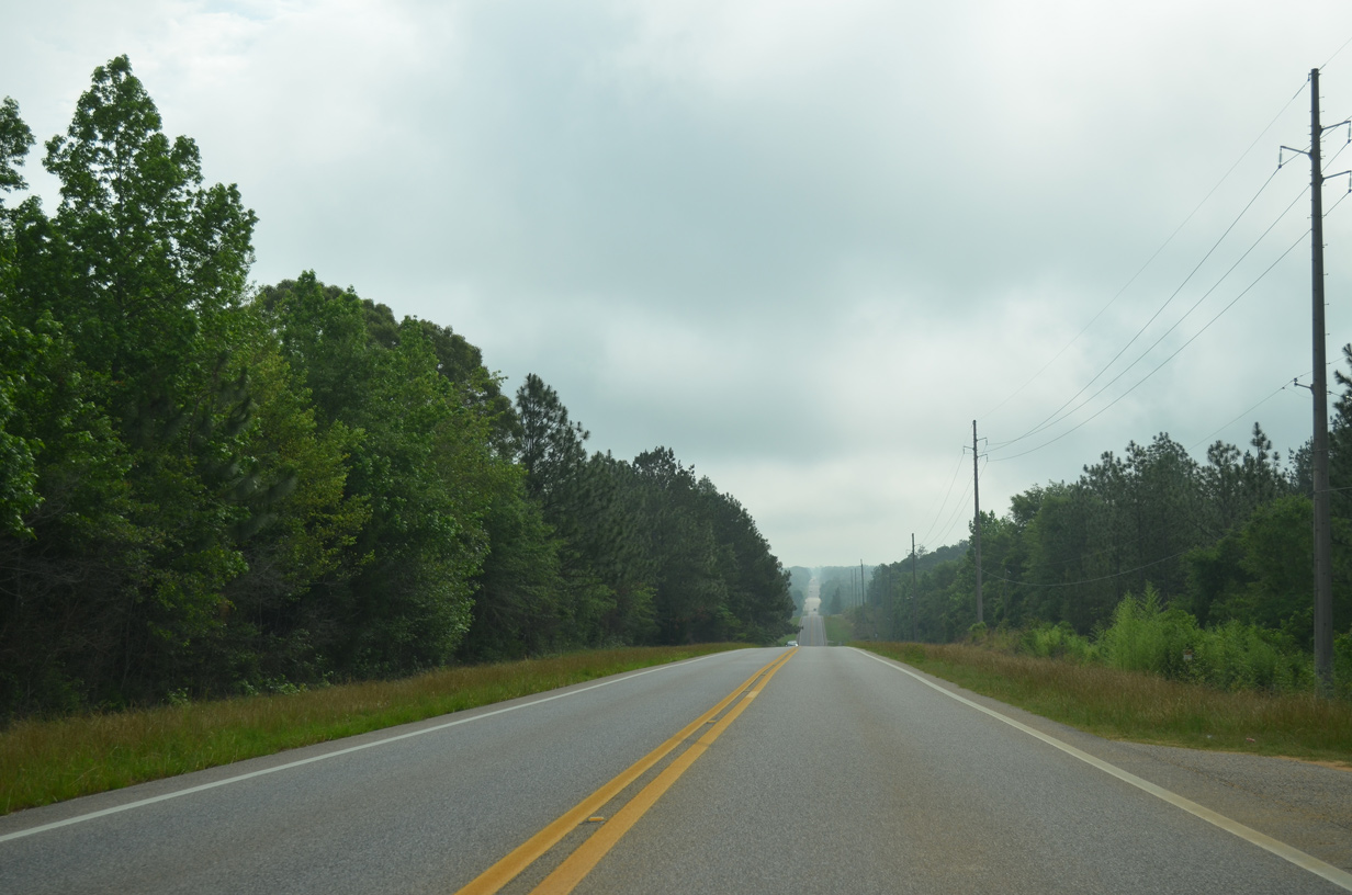
| Lowering toward the Perdido River, U.S. 31 bee lines eastward to Nokomis in Escambia County. 05/12/16 |
|
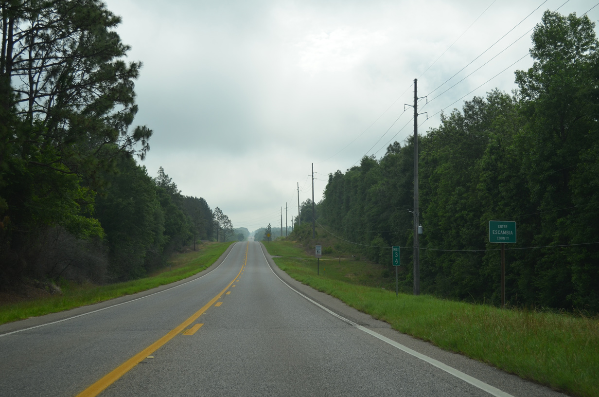
| U.S. 31 enters the southwestern corner of Escambia County, 34.02 miles northeast of U.S. 90 in Spanish Fort. 05/12/16 |
Page Updated 08-12-2022.


 North
North