|
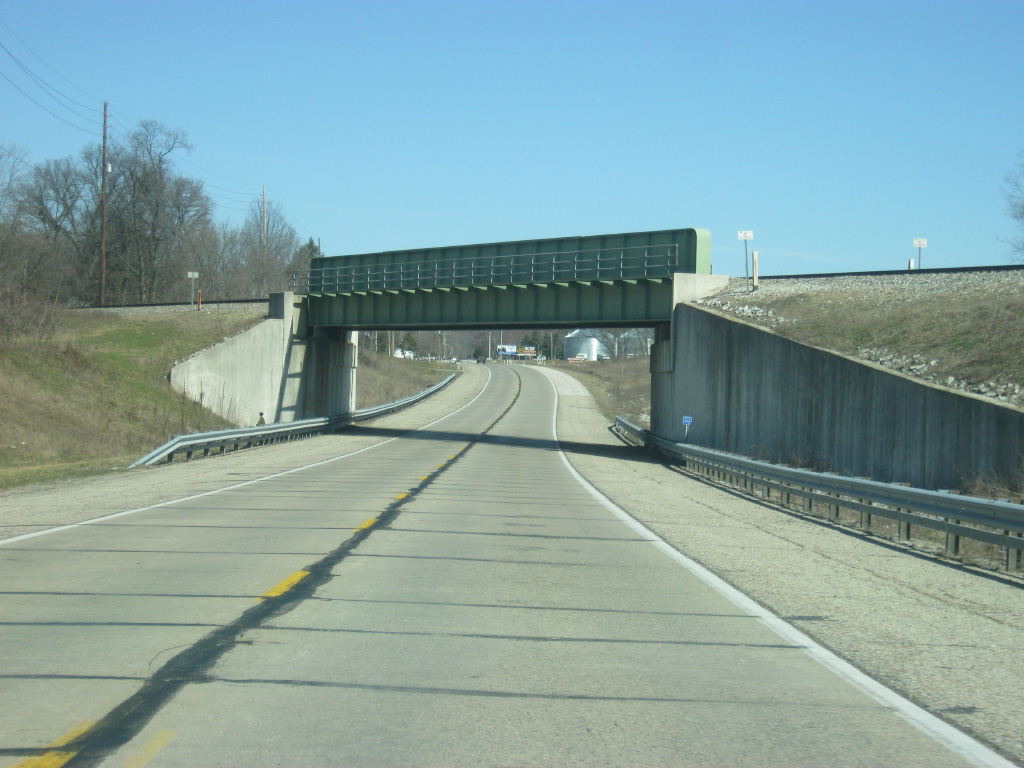
| North of the Parke County line, U.S. 41 continues in a northerly direction. In the second picture the highway passes underneath the CSX (formerly Louisville & Nashville) railroad track, which is a major rail corridor that stretches from Evansville north to Chicago. 01/03/10 |
|
| U.S. 41 passes just to the east of the town of Lyford in the southwestern part of Parke County, named Florida Township. As evident from the pictures U.S. 41 at this point is far from the state of Florida. 01/03/10 |
|
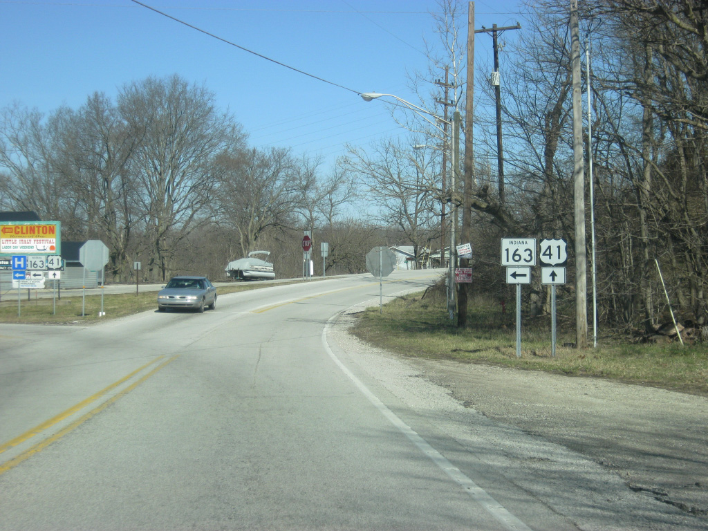
| North of Lyford, U.S. 41 nears the junction with SR 163 west. Among the shorter of Indiana highways, SR 163 goes for only nine miles from its eastern end at U.S. 41 to the west across the Wabash River and into the town of Clinton. From there it continues for another few miles through the town of Blanford and to the Illinois border. 01/03/10 |
|
| A Y-junction forms the intersection between U.S. 41 and SR 163. The city of Clinton, the largest community in both Vermillion and Parke Counties, is only one mile to the west across the Wabash River. The SR 63 expressway is two more miles beyond that. Traffic continuing to Rockville is directed toward the right to continue on U.S. 41. 01/03/10 |
|
| SR 163 turns off to the west toward the city of Clinton. At one time before the construction of the SR 63 expressway; the state highway had been multiplexed with U.S. 41 from Terre Haute north to this point. From here, SR 63 turned west along SR 163's current path into Clinton where it would proceed to the north along its original routing across Vermillion County. So in older times this was the main route from Terre Haute to Clinton. 01/03/10 |
|
| North of the junction with SR 163 west, Rockville is 11 miles away. Attica, a city in Fountain County and the other sizeable community along U.S. 41, is 48 miles off. 01/03/10 |
|
| From the junction with SR 163 west, U.S. 41 starts aiming toward the northeast as it follows a bluff that abuts the eastern edge of the Wabash River floodplain, which U.S. 41 has been in for a while. While the trek of U.S. 41 across Parke County provides for a scenic route, it also justifies the reasoning for the SR 63 expressway to the west which follows flatter, albeit still a little hilly, terrain. 01/03/10 |
|
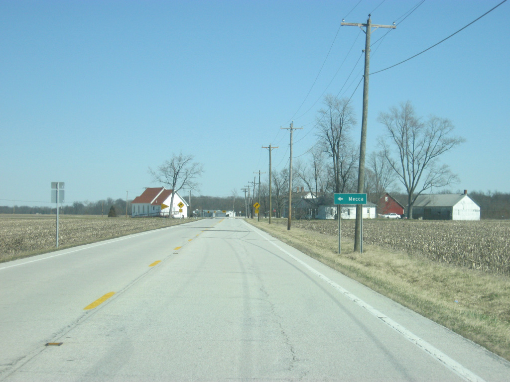
| U.S. 41 crosses Coxville Road, which leads to the town of Mecca a mile to the north and Rosedale, several miles to the south near the Parke-Vigo County line. 01/03/10 |
|
| More views of U.S. 41 as it crosses the valley of Big Raccoon River and then returns to another series of small hills, bypassing the community of Mecca to the southeast. 01/03/10 |
|
| Near the community of Bradfield Corner, Mecca Road heads west from U.S. 41 to provide access from the east to the town of Mecca, and the Mecca Covered Bridge. 01/03/10 |
|
| From the Mecca Road intersection, U.S. 41 continues in a northeast direction toward the Parke County seat of Rockville. In the third picture the top of the Parke County courthouse can be seen in the horizon, signaling the approach to Parke County's largest community. 01/03/10 |
|
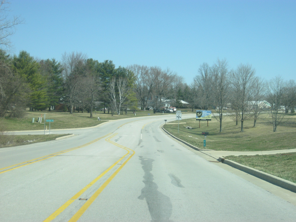
| A center-turn lane begins at Sassafras Drive as U.S. 41 nears the Rockville town limits. 01/03/10 |
|
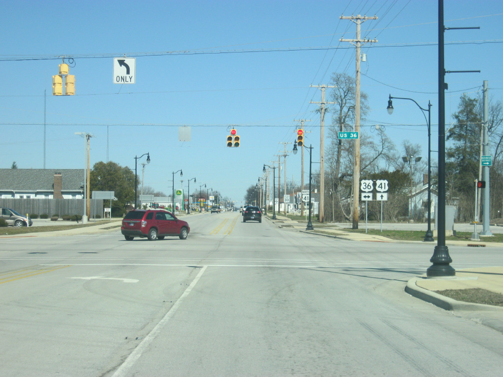
| U.S. 41 makes a turn to the north as it enters the Parke County seat of Rockville (population 2,765). In the center of county, Rockville is the principal community for Parke County and the main base of operations for the Parke County Covered Bridge Festival. At the Rockville town limits, U.S. 41 nears the intersection with U.S. 36 (Ohio Street), a 1,141 mile highway that goes from the Rocky Mountain National Park in Colorado to Uhrichsville, Ohio. 01/03/10 |
|
| U.S. 36 (Ohio Street) spans Indiana along a 139 mile path that begins west of the town of Dana and continues east through Rockville, Danville, Indianapolis and Pendleton before leaving for Ohio outside of Lynn. The Ernie Pyle State Memorial is about 14 miles to the west in Dana while Raccoon Lake State Recreational Area is about nine miles to the east of Rockville. U.S. 36 is about 60 miles away from the state capital of Indianapolis while Montezuma is only 7 1/2 miles away to the west. 01/03/10 |
|
| U.S. 36 (Ohio Street) connects U.S. 41 (Lincoln Road) with the Rockville business district only a five blocks to the east with the Parke County Courthouse located at the intersection of U.S. 36 (Ohio Street) and Market Street. Traffic can get heavy in this area around the time of the Parke County Covered Bridge Festival. 01/03/10 |
|
| A view of U.S. 41 (Lincoln Road) to the north of the intersection with U.S. 36 (Ohio Street). The road was rebuilt in the 2000s to have a continuous center turn lane and with decorative lighting and sidewalks. U.S. 41 is the main commercial strip serving the town of Rockville, though the route passes through the western edge of the community. 01/03/10 |
|
| Two stoplights serve Rockville along U.S. 41 (Lincoln Road), the first being at U.S. 36 (Ohio Street). The second stoplight is with Howard Avenue, which angles in a northwest direction from two blocks north of the courthouse square and out of Rockville toward the community of West Union. The Rockville Correctional Facility is located just outside of the town along Howard Avenue. 01/03/10 |
|
| U.S. 41 (Lincoln Road) passes by additional commercial businesses en route through the north side of Rockville. 01/03/10 |
|
| Now leaving Rockville, the Fountain County community of Veedersburg is the next town at 24 miles with Attica following at 37 miles. 01/03/10 |
|
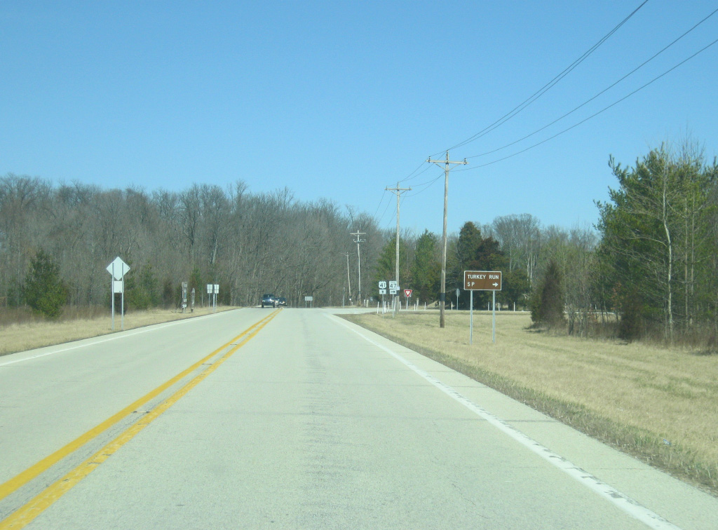
| Turkey Run State Park is nine miles away via U.S. 41 and SR 47 east. 01/03/10 |
|
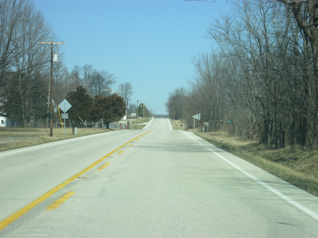
| U.S. 41 follows a generally straight path north from Rockville as it passes through mostly agricultural fields. Outside of Rockville, Parke County is very rural with only a few towns that see brief action during the Covered Bridge Festival. With the SR 63 expressway carrying the long-haul traffic across Western Indiana, U.S. 41's traffic is generally very local. 01/03/10 |
|
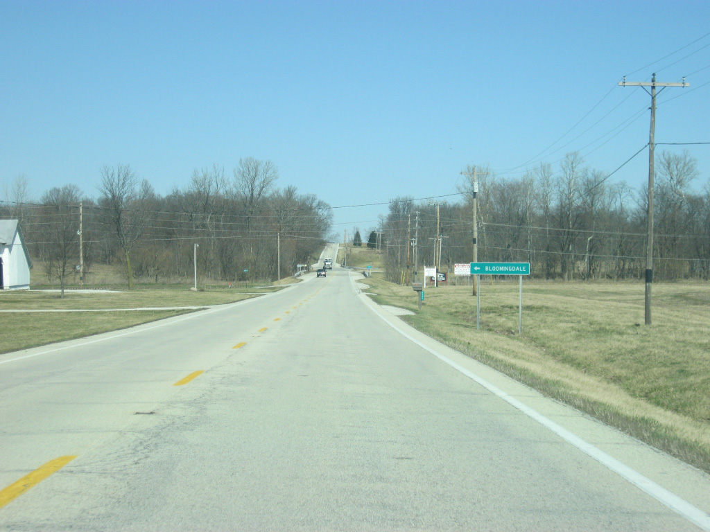
| County Road 460 North leads west from U.S. 41 to the town of Bloomingdale, less than a mile to the west. 01/03/10 |
|
| U.S. 41 passes through what used to be a B&O railroad overpass. The abandoned rail line is slated to become a trail that will span western Indiana from Parke County eastward to Indianapolis. Currently only a little of the trail exists in Hendricks County. 01/03/10 |
|
| Now coming up with the junction with SR 236 east. SR 236 goes for 40 miles from U.S. 41 east to near the community of Danville at SR 39. 01/03/10 |
|
| The town of Marshall lies only 2.6 miles to the east of U.S. 41. 01/03/10 |
|
| SR 236 begins its journey toward the communities of Marshall, Roachdale and North Salem. 01/03/10 |
|
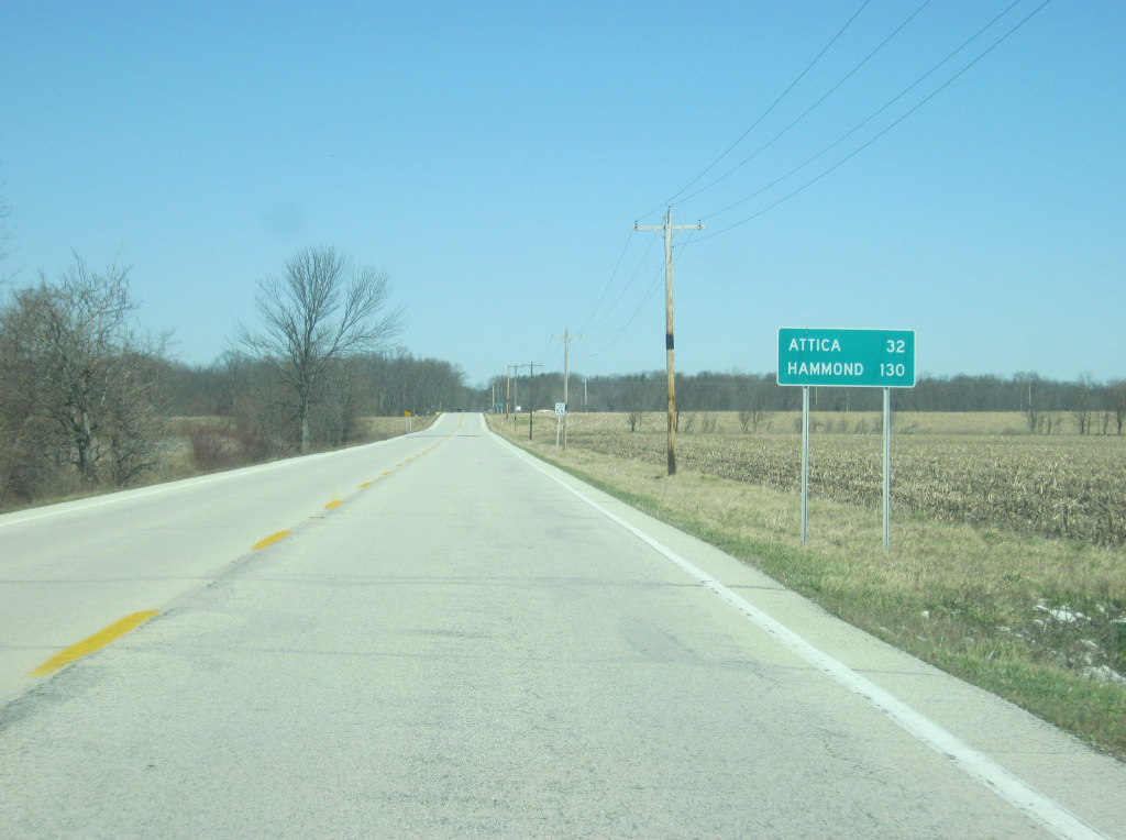
| North of the junction with SR 236, Turkey Run State Park is only four miles away. Attica is still 32 miles while the Lake County city of Hammond comes in at 130 miles. The largest city in Northwest Indiana, Hammond will begin to switch off with Chicago as U.S. 41's ultimate control city heading north. 01/03/10 |
|
| Annapolis Road connects U.S. 41 with the town of Annapolis a mile to the west. 01/03/10 |
|
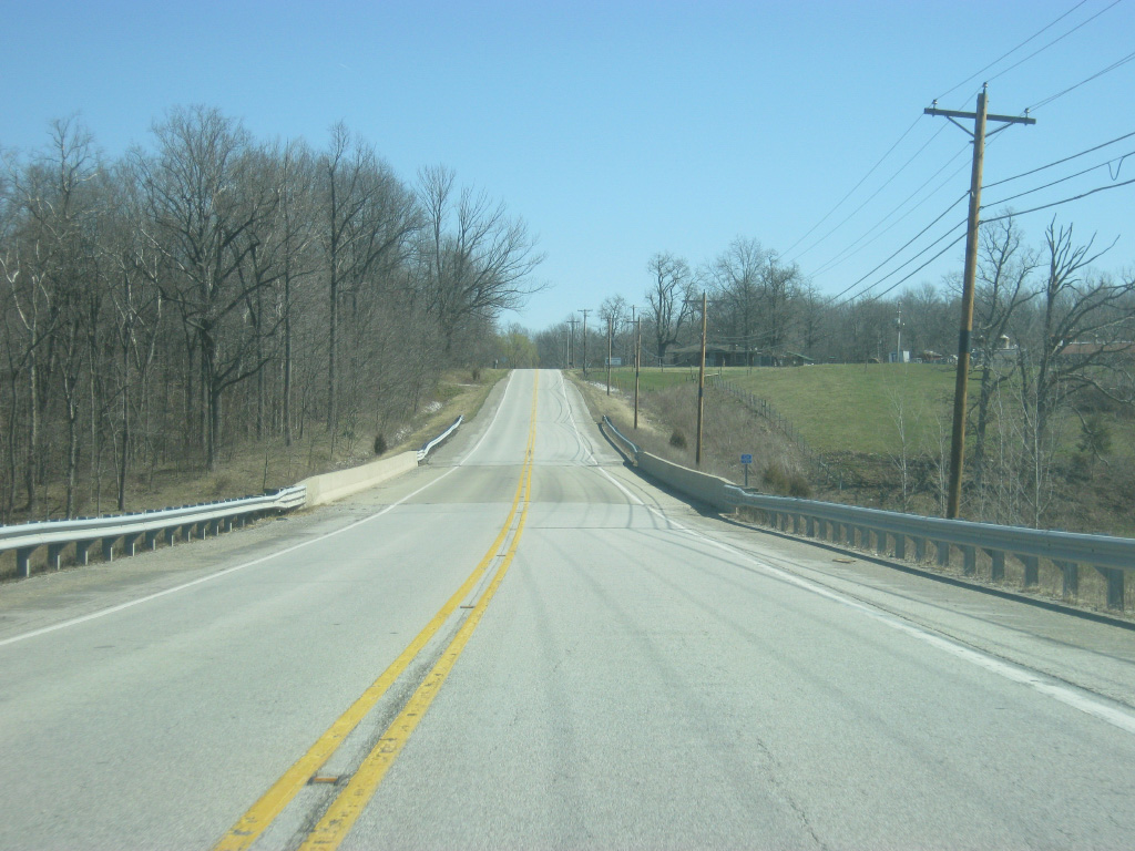
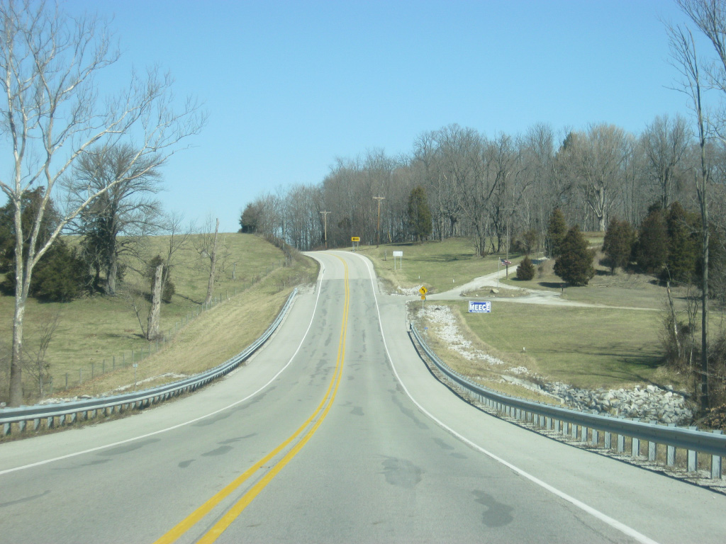
| U.S. 41 enters a series of curves, commencing the beginning of the most windiest portion of the highway across Indiana. Here the highway crosses the valley of Roaring Creek, one of the tributaries of Sugar Creek, a major river across northern Parke County. 01/03/10 |
|
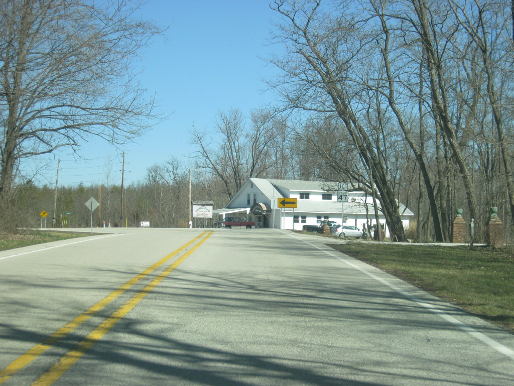
| U.S. 41 now nears the junction with SR 47 east. SR 47 travels for 64 miles from U.S. 41 east through the communities of Crawfordsville and Thorntown before ending at SR 38 in Sheridan. 01/03/10 |
|
| SR 47 connects U.S. 41 with the entrance to Turkey Run State Park, only two miles to the east. Turkey Run was Indiana's second state park and is among the most popular. The park is best known for Sugar Creek and the rock gorges that were formed from the rivers and creeks in the park's vicinity. 01/03/10 |
|
| SR 47 turns off from U.S. 41 toward the town of Waveland 10 miles to the east and Crawfordsville 25 miles away. 01/03/10 |
|
| North of the SR 47 east intersection, U.S. 41 is 30 miles from Attica and 70 miles from the Newton County seat of Kentland, where U.S. 41 and U.S. 24/52 meet. 01/03/10 |
|
| U.S. 41 enters its windiest portion as it transcends the valley of Sugar Creek, a glacially-forged waterway that has created some dramatic landscapes along its banks in the form of rock gorges and hilly terrain. Naturally, one must slow down along U.S. 41 as they pass through this area. 01/03/10 |
|
| On the north side of the Sugar Creek valley, U.S. 41 nears the junction with County Road 1050 North, which heads west to the town of Tangier in northwestern Parke County. 01/03/10 |
|
| North of the County Road 1050 North intersection, U.S. 41 resumes its trek across flat Indiana farm country as it nears the boundary with Parke and Fountain Counties. 01/03/10 |
|
| U.S. 41 enters Fountain County (population 17,240). 01/03/10 |
|
| Upon entering Fountain County, U.S. 41 nears the junction with SR 234. Shades State Park, a smaller state park with similar land features as Turkey Run, lies about ten miles to the east while the town of Kingman is two miles to the west. 01/03/10 |
|
| SR 234 exists in two segments, the western of which begins at the Illinois state line and goes for 86.5 miles through the small towns of Cayuga, Kingman, Ladoga and Jamestown. 01/03/10 |
|
| U.S. 41 crosses SR 234, which spans the far southern tier of Fountain County. 01/03/10 |
|
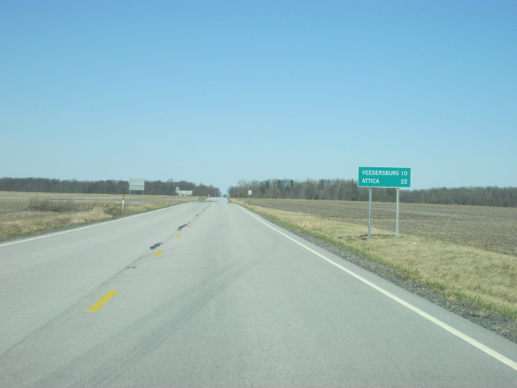
| Veedersburg and Attica are ten and 22 miles away respectively. 01/03/10 |
|
| U.S. 41 travels a very straight and flat path across southern Fountain County, a far cry from its trip across the Sugar Creek valley just a few miles back. 01/03/10 |
|
| County Road 800 South connects U.S. 41 with the town of Yeddo a mile to the west. 01/03/10 |
|
| North of the Yeddo area, U.S. 41 meets its next state highway, SR 32. Crossing the state of Indiana, SR 32 goes for 157 miles from the Illinois state line and east through Perrysville, Crawfordsville, Lebanon, Noblesville, Anderson, Muncie and Winchester before ending at the Ohio state line at Union City. 01/03/10 |
|
| The Montgomery County seat of Crawfordsville is 18 miles to the east while the town of Perrysville is 12.6 miles to the west from U.S. 41. 01/03/10 |
|
| U.S. 41 crosses SR 32 at Steam Corner. 01/03/10 |
|
| A distance sign north of the SR 32 intersection gives the distances to Attica (16 miles) and Kentland (54 miles). 01/03/10 |
|
| U.S. 41 continues heading north four miles between SR 32 and the Veedersburg area. The route varies across gently rolling hills on a parallel course to a tributary of the East Fork of Coal Creek. 01/03/10 |
|
| Near Veedersburg, U.S. 41 expands to four lanes beyond the crossing of Coal Creek's East Fork as it bypasses the community to the east. 01/03/10 |
|
| U.S. 41 nears the junction with U.S. 136 east/State Street. U.S. 136 goes nationally for 804 miles from the town of Edison, Nebraska to the interchange with Interstate 465 in Indianapolis. It follows Interstate 74 across western Indiana. 01/03/10 |
|
| U.S. 136 multiplexes with U.S. 41 for a very brief stretch north of the upcoming intersection with U.S. 136 east/State Street. The town of Hillsboro is five miles away while Crawfordsville follows at just over 17 miles. 01/03/10 |
|
| A four-way stop marks the intersection between U.S. 41 and U.S. 136 east. State Street heads to the west of this intersection and enters Veedersburg from the south side. 01/03/10 |
|
| As soon as U.S. 136 joins U.S. 41, it's already time for their split. As that takes place, U.S. 41 is only a mile away from its interchange with Interstate 74, which provides a faster route to the nearby communities of Crawfordsville to the east and Covington to the west. 01/03/10 |
|
| U.S. 136 west (2nd Street) leads straight into Veedersburg, which serves the middle of Fountain County. From Veedersburg, the highway follows Interstate 74's path for 7.4 miles to the Fountain County seat of Covington along the Wabash River. 01/03/10 |
|
| Now at the split with U.S. 136 west (2nd Street) and U.S. 41. 01/03/10 |
|
| About a half mile away of the interchange with Interstate 74. Interstate 74 is a 423 mile highway that begins in Davenport, Iowa and ends in Cincinnati, Ohio, with an additional 75 mile segment in North Carolina. In Indiana, Interstate 74 goes for 172 miles as it stretches from outside Danville to Crawfordsville, Brownsburg, Indianapolis, Shelbyville, Greensburg, and Batesville before leaving at West Harrison. 01/03/10 |
|
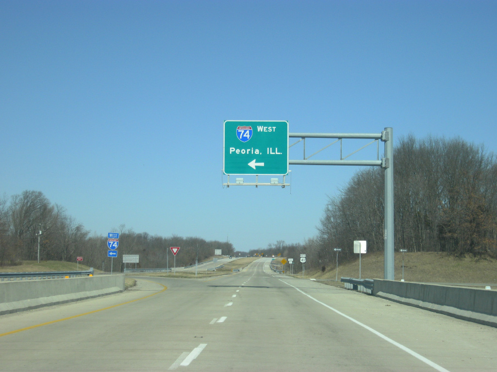
| The first right off of U.S. 41 directs traffic to Interstate 74 east toward Crawfordsville and Indianapolis. 01/03/10 |
|
| A left off of U.S. 41 directs traffic to Interstate 74 west to Danville, Champaign, Bloomington, and Peoria, Illinois. 01/03/10 |
|
| North of the Interstate 74 interchange, U.S. 41 is now only ten miles away from Attica. Chicago, Illinois is still 131 miles away. 01/03/10 |
|
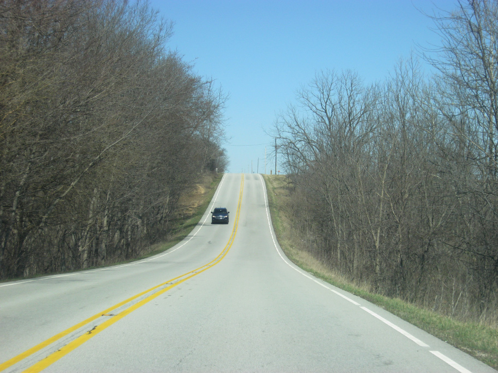
| North of Interstate 74, U.S. 41 resumes being a two lane road as it begins its trip across the northern half of Fountain County toward the city of Attica. 01/03/10 |
|
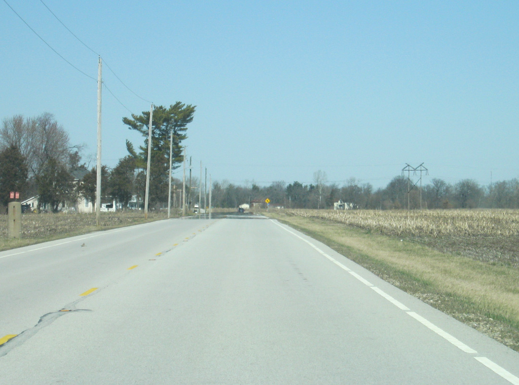
| U.S. 41 crosses Stonebluff Road, which connects the communities of Stonebluff to the west with Mellott to the east with U.S. 41. 01/03/10 |
|
| A view of U.S. 41 to the north of the Stonebluff Road intersection. 01/03/10 |
|
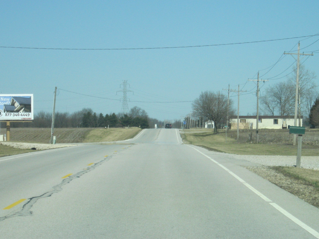
| County Road 650 North connects U.S. 41 with the town of Fountain a few miles to the west. The Portland Arch Nature Preserve is located in the area around Fountain. 01/03/10 |
|
| North of the intersection with County Road 650 North, U.S. 41 comes across the intersection with SR 55 south. SR 55 spans 110 miles from its southern terminus at SR 25 in Wingate and heading north through Attica, Fowler, Goodland and Crown Point before ending at Ridge Road (Business U.S. 6) in Gary. 01/03/10 |
|
| Newtown is six miles to the southeast along SR 55 while Rob Roy is just to the west via County Road 750 North and Rob Roy Road. 01/03/10 |
|
| Now at the junction with SR 55 south. Although the signs don't indicate it, SR 55 does continue along U.S. 41's path north to Attica. 01/03/10 |
|
| U.S. 41/SR 55 are now only three miles away from Attica. 01/03/10 |
|
| U.S. 41/SR 55 (Council Street) enter the city of Attica (population 3,245). Despite not being the county seat, Attica is Fountain County's largest community. There will not be a community of Attica's size along U.S. 41 for another 85 miles until St. John. 01/03/10 |
|
| The speed limit reduces as U.S. 41/SR 55 (Council Street) head further into the city of Attica. 01/03/10 |
|
| U.S. 41/SR 55 (Council Street) approaches the junction with SR 28 (Jackson Street), a 153 mile highway that crosses the state from west to east. The highway starts only a few miles to the west and goes through Attica, Frankfort, Tipton, Elwood, and Alexandria before ending in Union City. 01/03/10 |
|
| Frankfort is the next major community to the east along SR 28 at a distance of 42 miles. Kentland is the main control for U.S. 41, SR 55 & SR 28 heading west along Jackson Street through the heart of Attica. 01/03/10 |
|
| Both U.S. 41/SR 55 turn left onto SR 28 (Jackson Street) for a three-way multiplex through Attica. Council Street continues for another block to Main Street where that street ends. Prior to 1982, U.S. 41/SR 55, along with SR 28 did follow Main Street town to a former crossing over the Wabash River. Now the highways follow Jackson Street to the newer bridge. 01/03/10 |
|
| Lowering toward the Wabash River, U.S. 41-SR 28/55 proceed in a northwest direction along Jackson Street into the center of Attica. 01/03/10 |
|
| U.S. 41-SR 28/55 (Jackson Street) at Perry Street, which continues north into the Attica business district. Most of the commercial businesses in Attica are in this general vicinity, potentially resulting in heavy traffic along this stretch of U.S. 41. 01/03/10 |
|
| U.S. 41-SR 28/55 cross the Wabash River into Wabash County via the Paul Dresser Memorial Bridge on the west side of Attica. The bridge is named for the author of the Indiana state song, On the Banks of the Wabash Far Away, which is said to be written not far from Attica. Warren County has the lowest population density of any Indiana county and is overly rural. The bridge replaced an earlier span in 1982 which took U.S. 41 into Downtown Attica via Main Street. 01/03/10 |
Page Updated 04-25-2013.

 North
North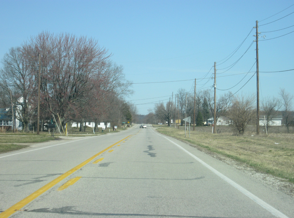


 West
West