|
| Just north of the Kankakee River bridge, U.S. 41 passes through the community of Schneider. 05/13/12 |
|
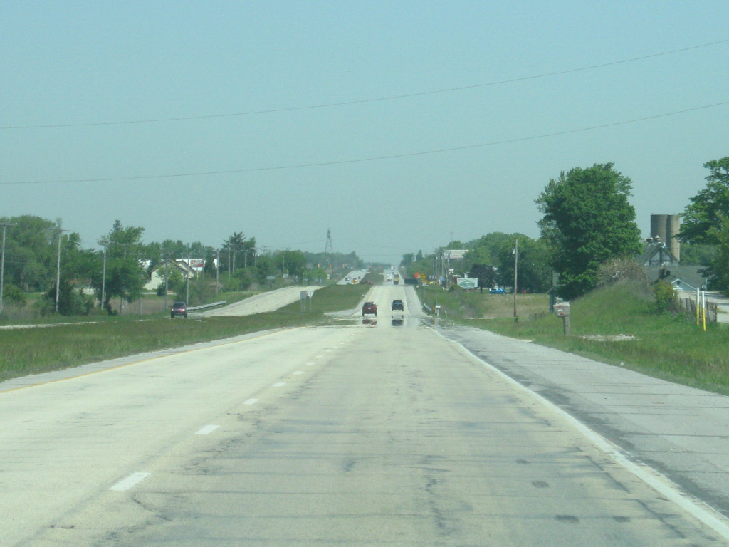
| North of Schneider, U.S. 41 follows a path that goes northwest and then north as it crosses the plains of southern Lake County. Throughout the county, the highway crosses the Kankakee Outwash Plain before climbing up the Valparaiso Moraine, a series of small hills that were formed from the past shorelines of Lake Michigan. It is also around here that the highway leaves the Mississippi River watershed and enters the watershed of the Great Lakes and St. Lawrence River. 05/13/12 |
|
| SR 2 comes in from the west to join U.S. 41 for a 2 1/2 mile multiplex. SR 2 goes for 81 miles in a southwest to northeast direction from the Illinois state line and through the communities of Lowell, Hebron, Valparaiso and LaPorte before ending on the west side of South Bend at U.S. 20/31. 05/13/12 |
|
| It's an eight mile drive to the town of Grant Park, Illinois via SR 2 west and Illinois 17. 05/13/12 |
|
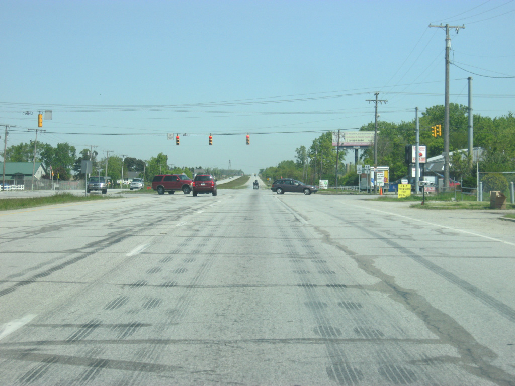
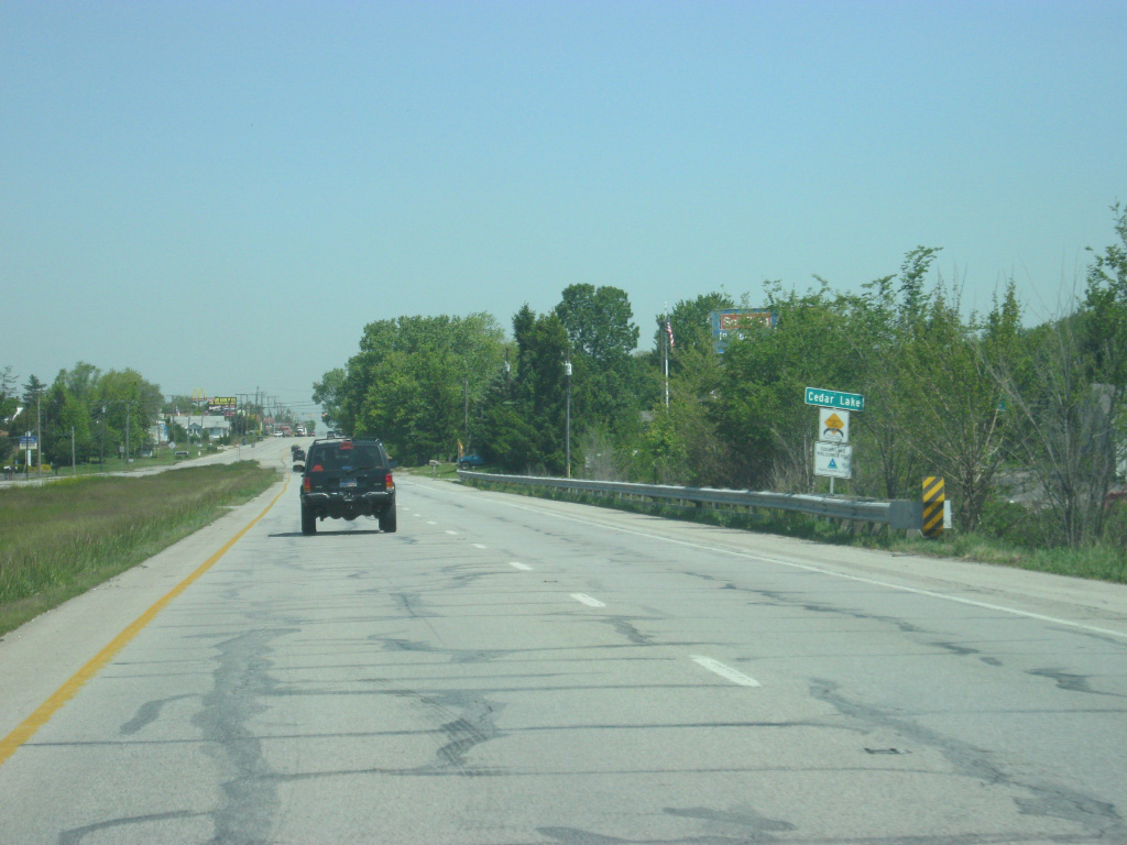
| The Northwest Indiana metropolitan area gets closer as U.S. 41 is nine miles away from the community of Cedar Lake. It's a 14 mile drive to St. John and a 26 mile drive to Hammond. This is the last distance sign for U.S. 41 in Indiana. 05/13/12 |
|
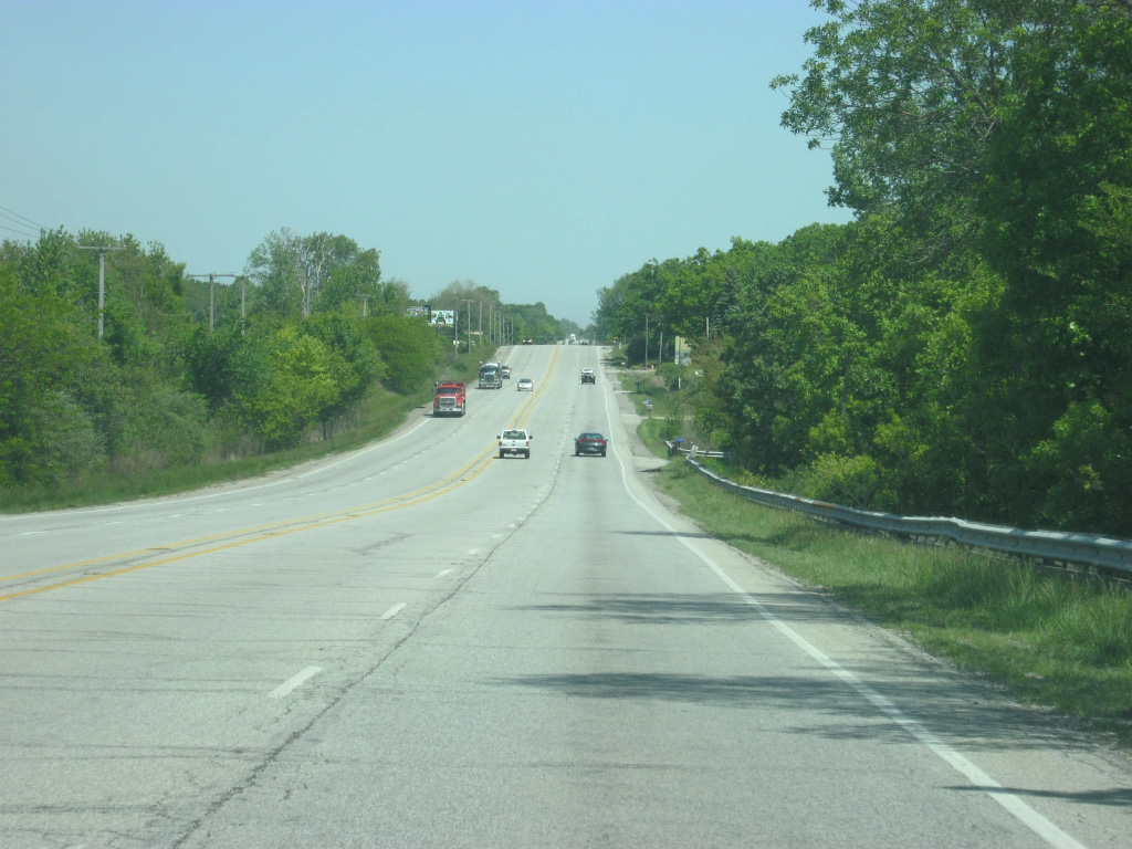
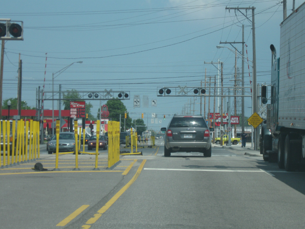
| The scene gets a little busier along the 2.6 mile stretch of U.S. 41/SR 2. 05/13/12 |
|
| SR 2 turns off toward the east for its one mile trip into the town of Lowell. It is another 5.7 miles to the interchange with Interstate 65. 05/13/12 |
|
| SR 2 goes east toward Lowell while 181st Avenue continues the road to the west of U.S. 41. 05/13/12 |
|
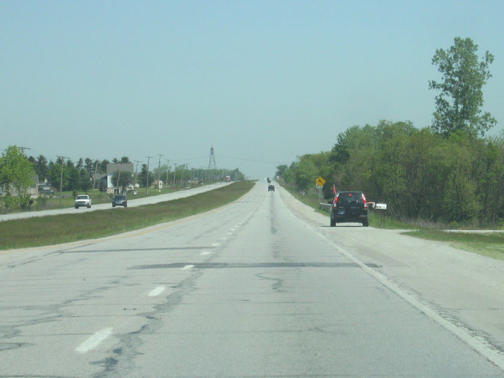
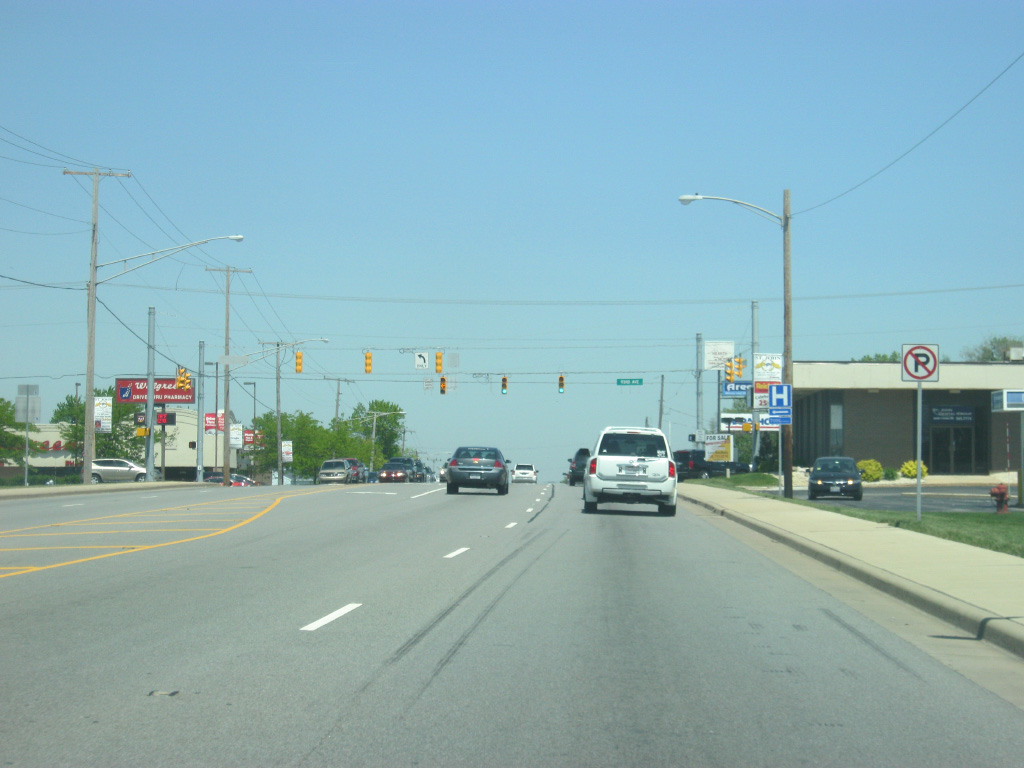
| North of SR 2 east, U.S. 41 is now within six miles from the town of Cedar Lake, the first of many communities that U.S. 41 will be going through in the Greater Chicago region. After passing through several hours of mostly rural terrain, U.S. 41 shifts into a more developed environment. It is around this region that the future Illiana Expressway toll road will be crossing U.S. 41, with an interchange proposed to their crossing. The 50 mile toll road will connect Interstates 55 & 57 in Illinois with U.S. 41 and Interstate 65 in Indiana, offering an alternative for long-haul traffic to the congested U.S. 30 and Interstate 80-94 corridors further north. No timetable has been set on when construction would begin. 05/13/12 |
|
| U.S. 41 becomes an undivided highway as it crosses into the town of Cedar Lake (population 11,560). In the upcoming towns of Cedar Lake and St. John, U.S. 41 is called Wicker Avenue. North of there it becomes Indianapolis Boulevard. Regardless of that, referring to the highway as U.S. 41 is acceptable as well. 05/13/12 |
|
| Entering the Cedar Lake area, U.S. 41 (Wicker Avenue) has one stoplight that serves the town at 133rd Avenue. The majority of the town of Cedar Lake lies to the east of U.S. 41 (Wicker Avenue) along 133rd Street, which leads to Cedar Lake, the lake that the town surrounds. 05/13/12 |
|
| North of the 133rd Street intersection, U.S. 41 (Wicker Avenue) leaves the urbanized part of Cedar Lake and goes through one more semi-rural stretch in between the towns of Cedar Lake and St. John. Eventually, urban sprawl will probably develop this region. 05/13/12 |
|
| U.S. 41 (Wicker Avenue) nears the intersection with U.S. 231 south (109th Avenue). U.S. 231 begins its 912 mile journey south to Panama City, Florida at this intersection. 109th Avenue continues to the west past some new subdivisions in the St. John area before ending to the west of Calumet Avenue. 05/13/12 |
|
| U.S. 231 south (109th Avenue) heads east for a 5.6 mile trip to the Lake County seat of Crown Point. The road continues for 286 miles across Indiana past the communities of Hebron, Rensselaer, Lafayette, Crawfordsville, Greencastle, Spencer, Loogootee, Jasper and Dale before crossing the Ohio River at the William Natcher Bridge near Owensboro, Kentucky. 05/13/12 |
|
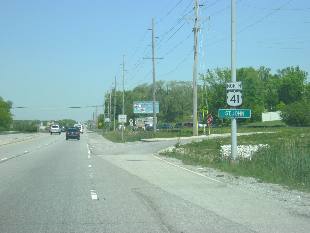
| A U.S. 41 reassurance shield greets motorists north of the U.S. 231 south (109th Avenue) intersection, along with the sign announcing the town limits for St. John (population 14,850). 05/13/12 |
|
| More development abuts U.S. 41 (Wicker Avenue) as the highway enters the St. John area. The newest shopping centers in this part of Lake County will likely be found in this area. 05/13/12 |
|
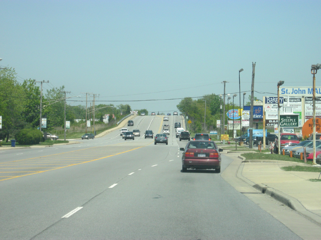
| U.S. 41 (Wicker Avenue) intersects with 93rd Street in the center of the town of St. John. Unlike some of the more traditional communities in Lake County, such as Hammond or Gary, St. John grew up quickly with development starting in the 1960s and has exploded with growth since. What would be considered the "center" of St. John is around this intersection. 05/13/12 |
|
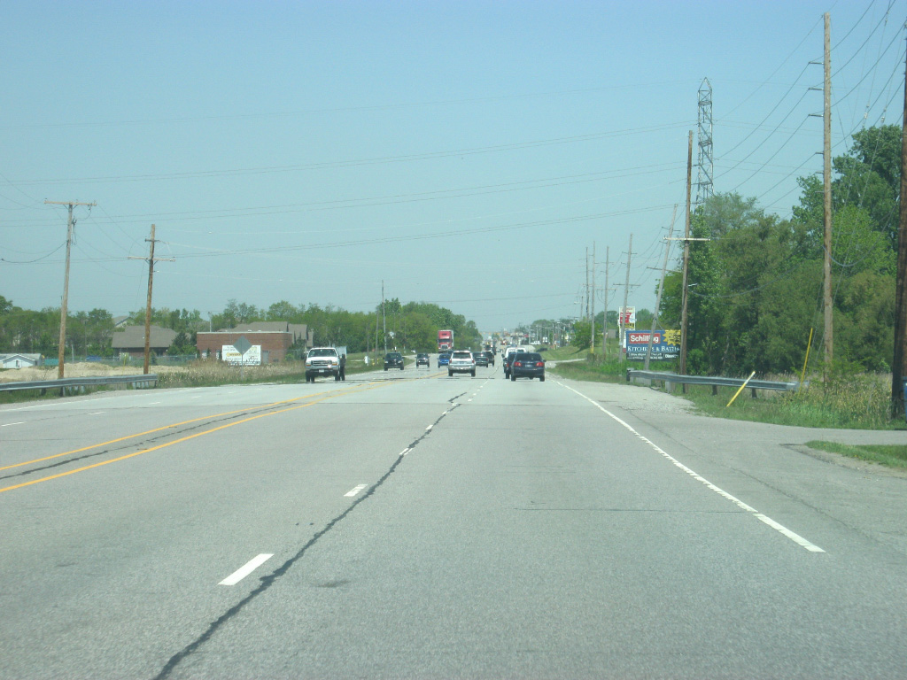
| U.S. 41 (Wicker Avenue) moves north from the center of St. John and continues toward the limits of the next community, Schererville. In the second picture the highway descends from the Valparaiso Moraine and passes by the Glenwood Shoreline with a long stretch of four lane commercialized highway laid out toward the communities of Schererville and Highland. 05/13/12 |
|
| U.S. 41 (now called Indianapolis Boulevard) enters the town of Schererville (population 29,243). Nicknamed the "Crossroads of the Nation," Schererville is where U.S. 41 will meet U.S. 30. 05/13/12 |
|
| Another view of the upcoming commercial strip along U.S. 41 (Indianapolis Boulevard) in the town of Schererville. 05/13/12 |
|
| U.S. 41 (Indianapolis Boulevard) approaches the very busy intersection with U.S. 30 (Lincoln Highway). U.S. 30 travels nationally for 3,073 miles from Astoria, Oregon to Atlantic City, New Jersey. U.S. 30 goes for nearly 159 miles in Indiana from Dyer on the Illinois state line to the Ohio state line east of New Haven. The U.S. highway is a four lane facility for its trip across the state, passing through Merrillville, Valparaiso, Plymouth, Warsaw, Columbia City and Fort Wayne. Across Northwest Indiana, U.S. 30 is a well-traveled highway and their meeting here in Schererville is the source of heavy traffic at rush hour. 05/13/12 |
|
| North of the intersection with U.S. 30 (Lincoln Highway), U.S. 41 (Indianapolis Boulevard) passes by several big-box department stores that utilize the intersection of the two major highways to their advantage. 05/13/12 |
|
| U.S. 41 (Indianapolis Boulevard) rises over the junction of two railroads going in opposite directions and descends the overpass to find more of the same, commercial businesses abutting the highway as it gets closer to the town of Highland. 05/13/12 |
|
| The giant Highland water tower greets motorists along U.S. 41 (Indianapolis Boulevard) as the highway crosses Main Street (the Main Street for the town of Griffin to the east). At this point, the communities of Northwest Indiana are brushing up against each other at various boundaries that follow streets across the region. 05/13/12 |
|
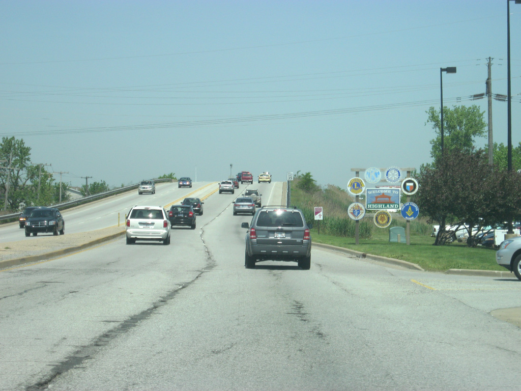
| A sign welcomes travelers into the town of Highland (population 23,727) as the highway prepares for another overpass over additional railroad tracks. As it becomes evident along U.S. 41 the closer one gets to Chicago, there are numerous railroads that cross the Northwest Indiana region that come together in the Greater Chicago area. 05/13/12 |
|
| On the other side of the railroad overpass, car dealerships abut U.S. 41 (Indianapolis Boulevard) as the highway goes into the Highland area. 05/13/12 |
|
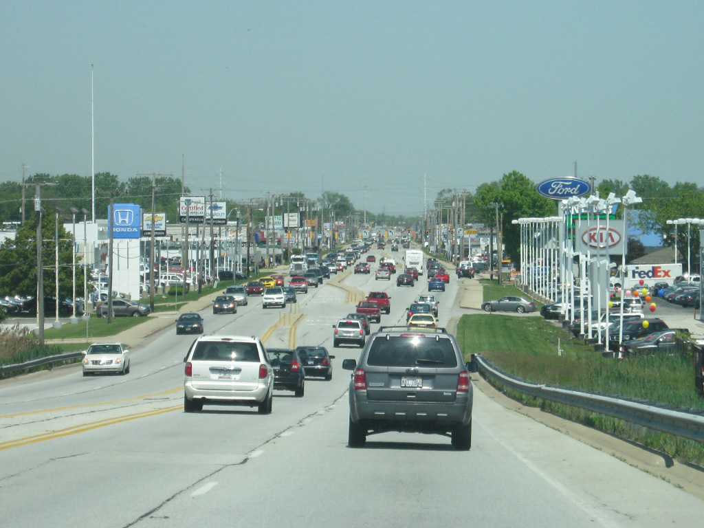
| As with the other communities, commercialization is the theme along U.S. 41 (Indianapolis Boulevard) through Highland. U.S. 41 (Indianapolis Boulevard) has major intersections with 45th Avenue and Ridge Road (Business U.S. 6) in the town of Highland. 05/13/12 |
|
| North of the Ridge Road (Business U.S. 6) intersection, U.S. 41 (Indianapolis Boulevard) enters a wooded area near the Wicker Park area. During the time of this picture, the normally four lane highway had been reduced while construction was underway on an overpass over an abandoned railroad that will become part of the growing network of trails in Northwest Indiana. 05/13/12 |
|
| On the other side of the construction zone, U.S. 41 (Indianapolis Boulevard) emerges to the area near the Borman Expressway (I-80-94/U.S. 6). Interstate 80 goes for 2,900 miles from San Francisco to Teaneck, New Jersey and follows the Borman Expressway across Northwest Indiana to Exit 16, where it follows the Indiana Toll Road east across Northern Indiana to South Bend and Angola. Interstate 94 runs for 1,585 miles from Billings, Montana to Port Huron, Michigan and runs along the shore of Lake Michigan for a 45 mile trip across Northwest Indiana. 05/13/12 |
|
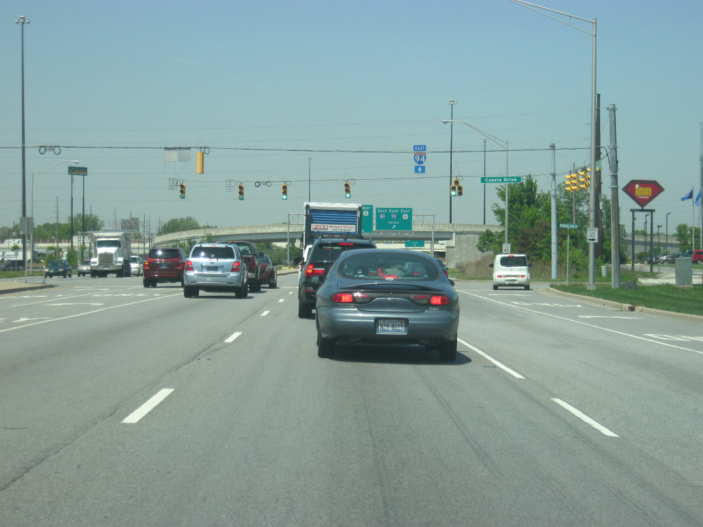
| Prior to the Borman Expressway (I-80-94/U.S. 6) interchange, U.S. 41 (Indianapolis Boulevard) has one last intersection with Cabela Drive, which serves the store of the same name along with a few other interstate-related businesses. 05/13/12 |
|
| The ramp for eastbound I-80-94/U.S. 6 turn off of U.S. 41 (Indianapolis Boulevard) for the communities of Gary, Portage and Michigan City. Interstate 94 continues northeast to Detroit, Michigan while Interstate 80 heads east toward South Bend and Toledo, Ohio. The Borman Expressway is among the busiest stretches of highway in Indiana and was rebuilt in the 2000s from the Illinois state line to Interstate 65 to better handle the large amounts of freight traffic that utilize the stretch of freeway. 05/13/12 |
|
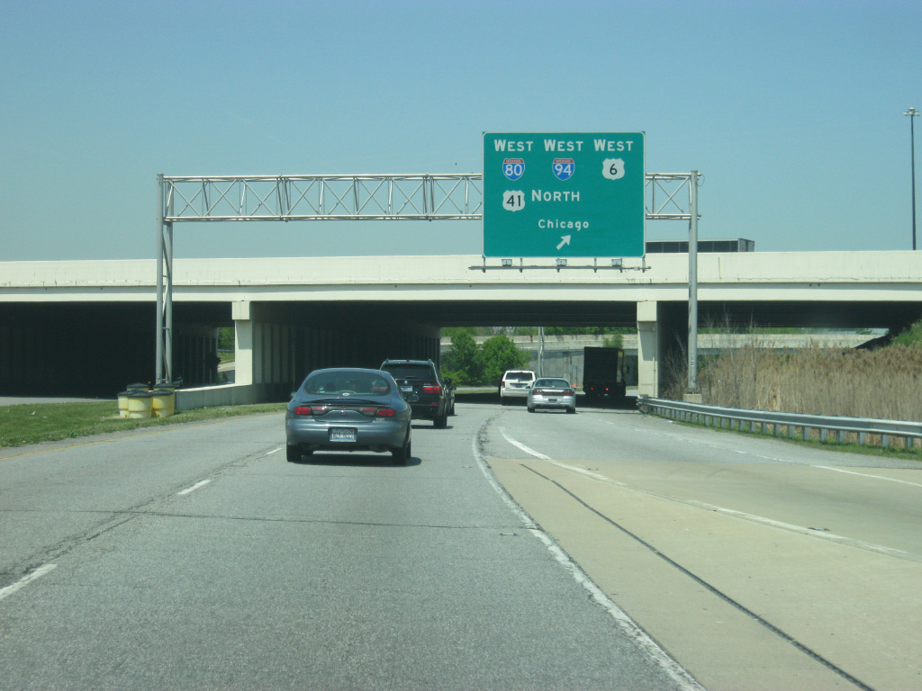
| U.S. 41 now departs Indianapolis Boulevard for a loop ramp onto westbound I-80-94/U.S. 6. Travelers bound for Chicago can now either use Interstate 94 and take it all the way to the Chicago Loop or take U.S. 41 north through Hammond and approach the Loop from the Lakeshore. Interstate 80 continues west across Chicago's southern suburbs toward the Quad City area. North of this interchange, SR 152 takes over Indianapolis Boulevard for a short 2 1/2 mile stretch to the intersection with Michigan Street, where U.S. 20 meets the highway and follows Indianapolis Boulevard to the north toward East Chicago. 05/13/12 |
|
| U.S. 41 turns off of the Borman Expressway (I-80-94/U.S. 6) and begins its trip across the city of Hammond (population 80,830) along Calumet Avenue. The first intersection that U.S. 41 (Calumet Avenue) meets is with 175th Avenue. While the majority of Lake County utilizes its own street grid (based out from the city of Gary), Hammond and East Chicago continue the Chicago street grid in some respect. In this case, 175th Street is based on its position as opposed to Madison Street in Chicago. 05/23/10 |
|
| A reassurance shield hangs over U.S. 41 (Calumet Avenue) between 175th and 173rd Streets. 05/23/10 |
|
| U.S. 41 (Calumet Avenue) takes on a more urban feel as it goes across the city of Hammond, forming a north-south spine across the largest city in Northwest Indiana. While it does not receive the same reputation of neighboring Gary, Hammond has shrunk in population from its high of 111,698 in 1960, when suburban sprawl started to the south of both Hammond and Gary. This left U.S. 41 (Calumet Avenue) abandoned in many ways as business started locating themselves further south in Highland and Schererville. 05/23/10 |
|
| Continuing north along U.S. 41 (Calumet Avenue) from Drackert Street to Carroll Street. 05/23/10 |
|
| Looking at U.S. 41 (Calumet Avenue) as it nears the stoplight intersection with Sibley Street, which connects U.S. 41 (Calumet Avenue) with Downtown Hammond, located near the Illinois state line. 05/23/10 |
|
| At the Sibley Street intersection, U.S. 41 (Calumet Avenue) rises for a crossing over a pair of railroad tracks that pass through the heart of Hammond. 05/23/10 |
|
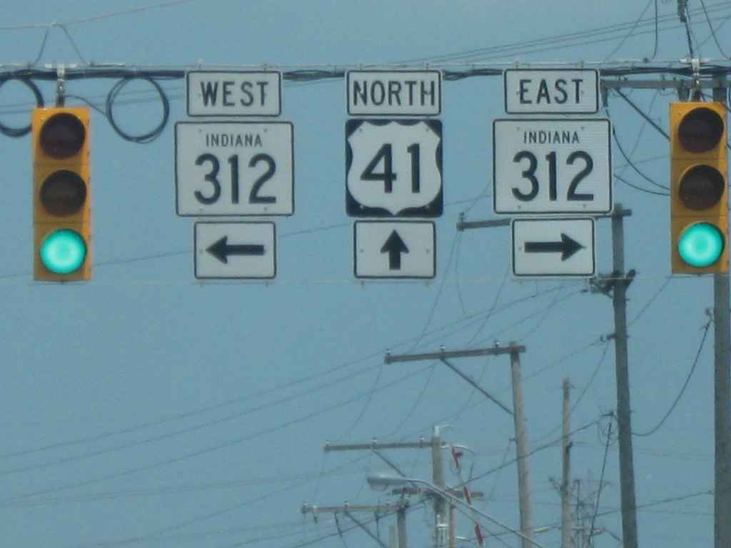
| North of the railroad overpass, U.S. 41 (Calumet Avenue) nears the intersection with SR 312 (Chicago Street). SR 312 runs for 5.7 miles from the Illinois state line on Gostlin Street and east across U.S. 41 (Calumet Avenue) to U.S. 20 (Industrial Highway) on the northwest side of Gary. 05/23/10 |
|
| SR 312 (Chicago Street) passes through a residential part on the north side of Hammond as it connects with the town of Burnham in Illinois just over the state line. To the east, SR 312 (Chicago Street) passes through the west side residential neighborhoods in East Chicago before meeting up with SR 912 (Cline Avenue) in an industrial part of East Chicago. 05/23/10 |
|
| North of the SR 312 (Chicago Street) intersection, U.S. 41 (Calumet Avenue) crosses a couple of railroad tracks. Unlike other railroad crossings, these are at-grade and because of the busy rail traffic in this region, U.S. 41 (Calumet Avenue) can get clogged with traffic waiting for the trains to pass. Among the rail lines that cross here is the South Shore Line, a commuter rail line that connects the communities of South Bend, Michigan City, Chesterton, Portage, Gary, East Chicago and Hammond with Downtown Chicago. The Hammond train station is just a few blocks to the west of U.S. 41 (Calumet Avenue). 05/23/10 |
|
| North of the railroad crossings, U.S. 41 (Calumet Avenue) crosses over Gostlin Street. 05/23/10 |
|
| Things open up along U.S. 41 (Calumet Avenue) to the north of the Gostlin Street intersection. Up ahead is the interchange with the Indiana Toll Road. 05/23/10 |
|
| Traffic bound for the Indiana Toll Road (Interstate 90) westbound toward Chicago is directed to use 141st Street to the east to the entrance ramp for the toll road. Interstate 90 is the longest interstate in the country, traveling for 3,101 miles from Seattle, Washington to Boston, Massachusetts. 05/23/10 |
|
| At this point, traffic bound for the eastbound Indiana Toll Road (Interstate 90) is directed to turn off into the toll booth plaza. In Indiana, the highway goes for 156 miles along the stretch of the Indiana Toll Road through the communities of Gary, Portage, South Bend, Elkhart and Angola en route to Toledo, Ohio. 05/23/10 |
|
| North of the Indiana Toll Road, U.S. 41 (Calumet Avenue) enters a strange area on the north side of Hammond that is part commercial, part industrial and part open land. 05/23/10 |
|
| U.S. 41 (Calumet Avenue) comes up to the interchange with the SR 912 (Cline Avenue) freeway. SR 912's history is too much to mention right now, but as of November 2009 the freeway bridge that spanned from this interchange to the Michigan Avenue interchange in East Chicago was closed due to corrosion of the bridge over the Indiana Harbor and Ship Canal. As of 2013, the highway remains closed from U.S. 41 eastward and its traffic is being directed to the north along U.S. 41 to 129th Street while a permanent solution for the bridge is still being sought, potentially a toll bridge. 05/23/10 |
|
| Approaching the intersection of U.S. 41 (Calumet Avenue) with 129th Street, which carries SR 912 traffic as of this point. 05/23/10 |
|
| U.S. 41 (Calumet Avenue) continues to the north past a couple of lakes as it nears the Robertsdale area of Hammond. 05/23/10 |
|
| Now in the Robertsdale neighborhood, U.S. 41 (Calumet Avenue) has an intersection with 119th Street. To the east, 119th Street becomes the main street for the small city of Whiting. Although Robertsdale is a part of Hammond, it works more closely with Whiting due to its isolation from the rest of Hammond. 05/23/10 |
|
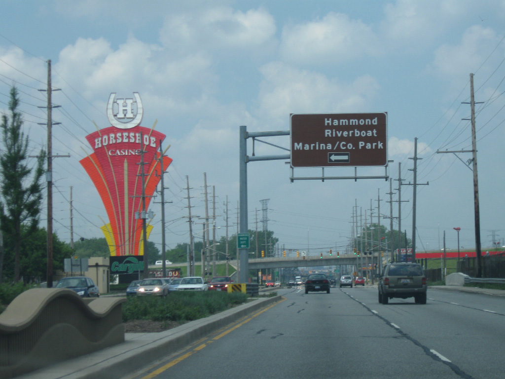
| U.S. 41 (Calumet Avenue) nears the junction with U.S. 12/20 (Indianapolis Boulevard). Here, U.S. 41 will merge with U.S. 12/20 for their trip into the city of Chicago. The Horseshoe Casino-Hammond is located to the north along the combined stretch of U.S. 12-20-41 (Indianapolis Boulevard) along with the Hammond Marina and Whihala County Park. 05/23/10 |
|
| U.S. 12 is a 2,500 U.S. highway that runs from the Pacific Ocean in Washington to Detroit, Michigan. Within Indiana, it runs for 45 miles from Hammond to Michigan City. U.S. 20 runs for 3,365 miles from Newport, Oregon to Boston, Massachusetts and spends 156 of those miles through the northern tier of Indiana. Before the interstate highway system and the Indiana Toll Road, it was the main highway from Northwest Indiana to South Bend and Elkhart en route to Toledo. To the east, U.S. 12/20 (Indianapolis Boulevard) head to the southeast through the cities of Whiting and East Chicago. 05/23/10 |
|
| U.S. 12-20-41 (Indianapolis Boulevard) head northwest past some industrial buildings as they work their way to the state line with Illinois. 05/23/10 |
|
| Traffic bound for the Horseshoe Casino-Hammond, Hammond Marina and Whihala County Park are directed onto a loop road that will go over U.S. 12-20-41 (Indianapolis Boulevard) and a set of railroad tracks to their intended destinations. 05/23/10 |
|
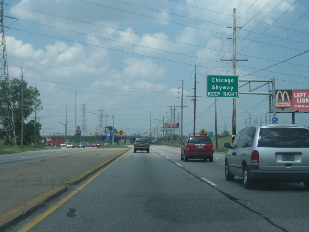
| There is one last turn off of U.S. 12-20-41 (Indianapolis Boulevard) in Indiana, and that is for the Chicago Skyway (Interstate 90). The Chicago Skyway is a 7.8 mile toll road that connects the Indiana Toll Road (Interstate 90) with the Dan Ryan Expressway (Interstate 94) on the south side of Chicago. 05/23/10 |
|
| The right lane turns off of U.S. 12-20-41 (Indianapolis Boulevard) onto the Chicago Skyway (Interstate 90). Indianapolis Boulevard continues underneath the Chicago Skyway bridge and emerges on the other side in the city of Chicago and state of Illinois, thus concluding U.S. 41's trip across the state of Indiana that began in the Ohio River bottomlands outside of Evansville. U.S. 41 will follow a series of roads before it ends up on the famed Lake Shore Drive along Lake Michigan. Ultimately, U.S. 12/20 will end up on 95th Street. 05/23/10 |
Page Updated 04-27-2013.

 North
North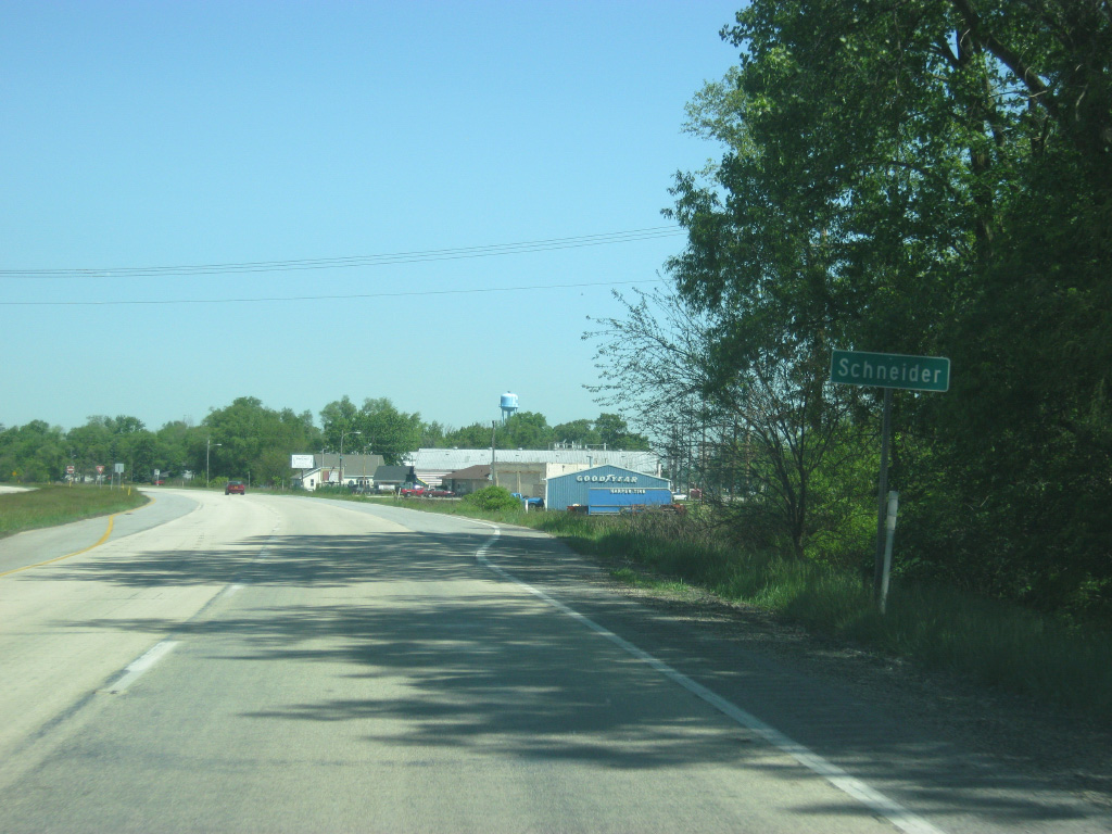


 West
West