|
| Now within Lawrence county, U.S. 50 West approaches the intersection with Leesville Road. The local road leads south to the communities of Leesville and Fort Ritner. 09/19/10 |
|
| U.S. 50 continues west from Leesville Road as it traverses the back end of the Norman Upland toward SR 446 and beyond. 09/19/10 |
|
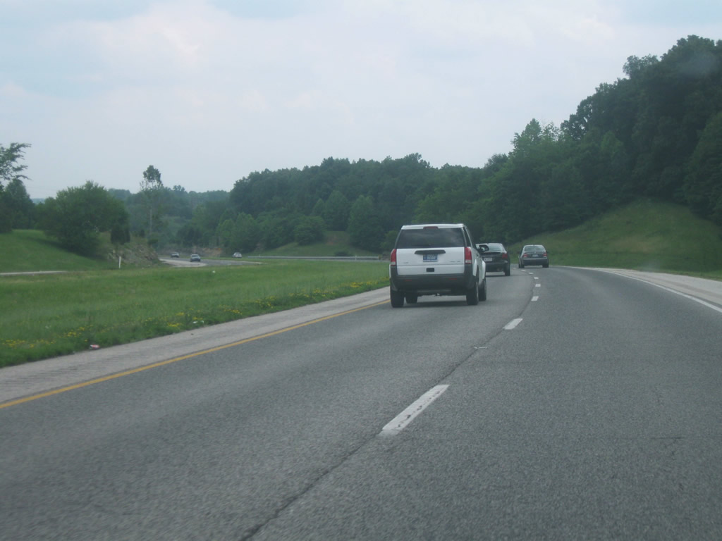
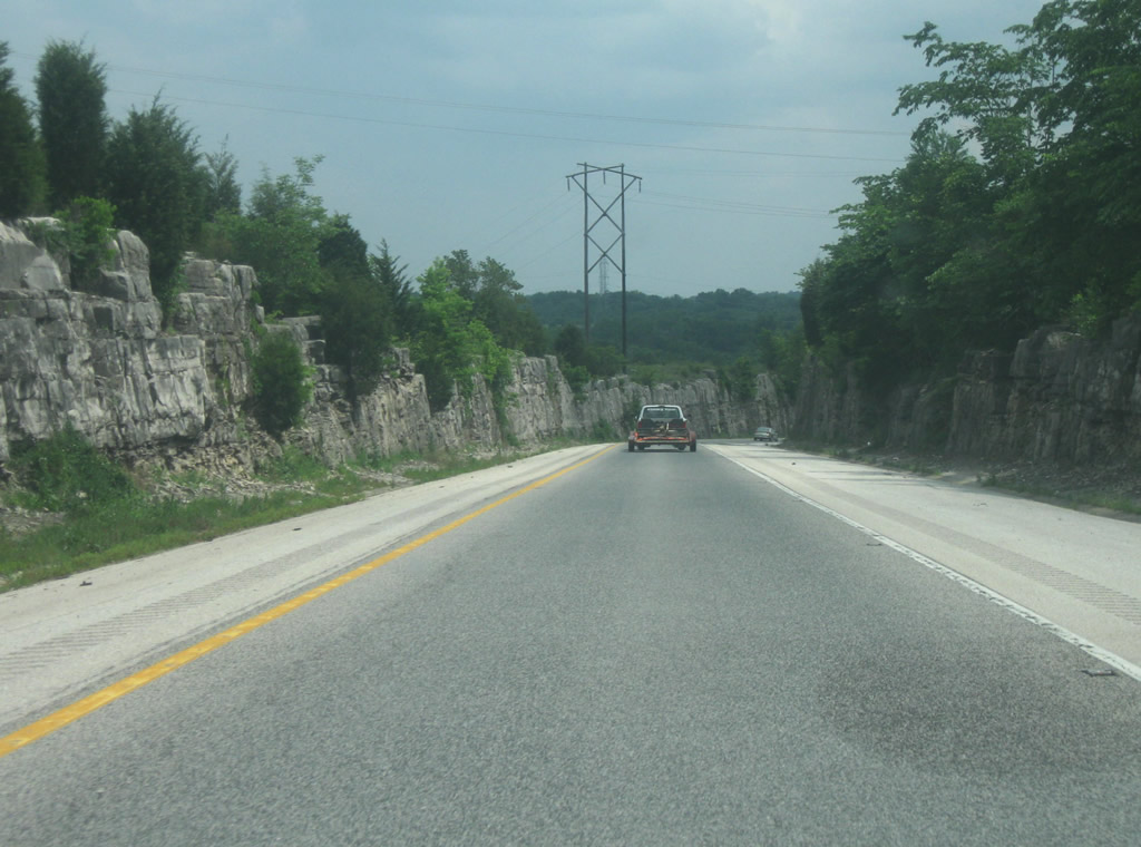
| Approaching the junction with SR 446 North. SR 446 is a 23.5 mile highway stemming from U.S. 50 north into Monroe County up to SR 46 in the east reaches of Bloomington. Monroe Reservoir, the largest lake in Indiana, can be reached via SR 446, along with numerous recreation areas and the Hoosier National Forest. 09/19/10 |
|
| West of SR 446, U.S. 50 continues toward Bedford. Limestone rocks abut U.S. 50 as the highway traverses the eastern part of Lawrence County. Lawrence County is a part of the Stone Belt in Indiana. Bridge replacement and shoulder widening occurred along U.S. 50 near Stone Road sometime between 2008 and 2010. 09/19/10 |
|
| U.S. 50 at the intersection with Stars Boulevard east of Bedford. The Bedford-North Lawrence High School complex is located to the north along Stars Boulevard. Stars Boulevard also provides a shortcut to SR 58, which parallels the U.S. highway 1.1 miles to the north. 09/19/10 |
|
| A view of U.S. 50 between Stars Boulevard and the city limits of Bedford, county seat of Lawrence County. 09/19/10 |
|
| Approaching the intersection with Tunnelton Road, which leads to the town of Tunnelton and the Virgil Grissom Municipal Airport (BFR). West of this intersection, U.S. 50 enters the city of Bedford. Bedford (population 13,413) is best known for being located in the heart of Indiana’s Stone Belt, where much of the Indiana limestone is quarried. 09/19/10 |
|
| Now coming into downtown Bedford, U.S. 50 (16th Street) approaches the intersection with H Street. U.S. 50 turns into one way couplets between H Street and M Street, with westbound U.S. 50 traffic following H Street north, 15th Street west, and M Street south before rejoining 16th Street west. 07/03/09 |
|
| A view of U.S. 50 heading west along 15th Street through the heart of downtown Bedford. The city was founded in 1825 and is known as the limestone capital of the world. 07/03/09 |
|
| U.S. 50 (15th Street) West approaches the intersection with M Street. The U.S. highway will turn south on M Street for one block, then continue west along 16th Street west toward SR 37. Beginning at the intersection with M Street and 16th Street, SR 450 will also follow 16th Street west for 1.7 miles until SR 37, where U.S. 50 will join it for a four mile concurrency before resuming a southwest trek toward Martin County and Vincennes. SR 450 continues 25 miles southwest, meeting U.S. 50 once more west of Shoals. M Street continues south of downtown as Mitchell Road, which carries U.S. 50 Business, the original alignment of U.S. 50 out of Bedford. 07/03/09 |
|
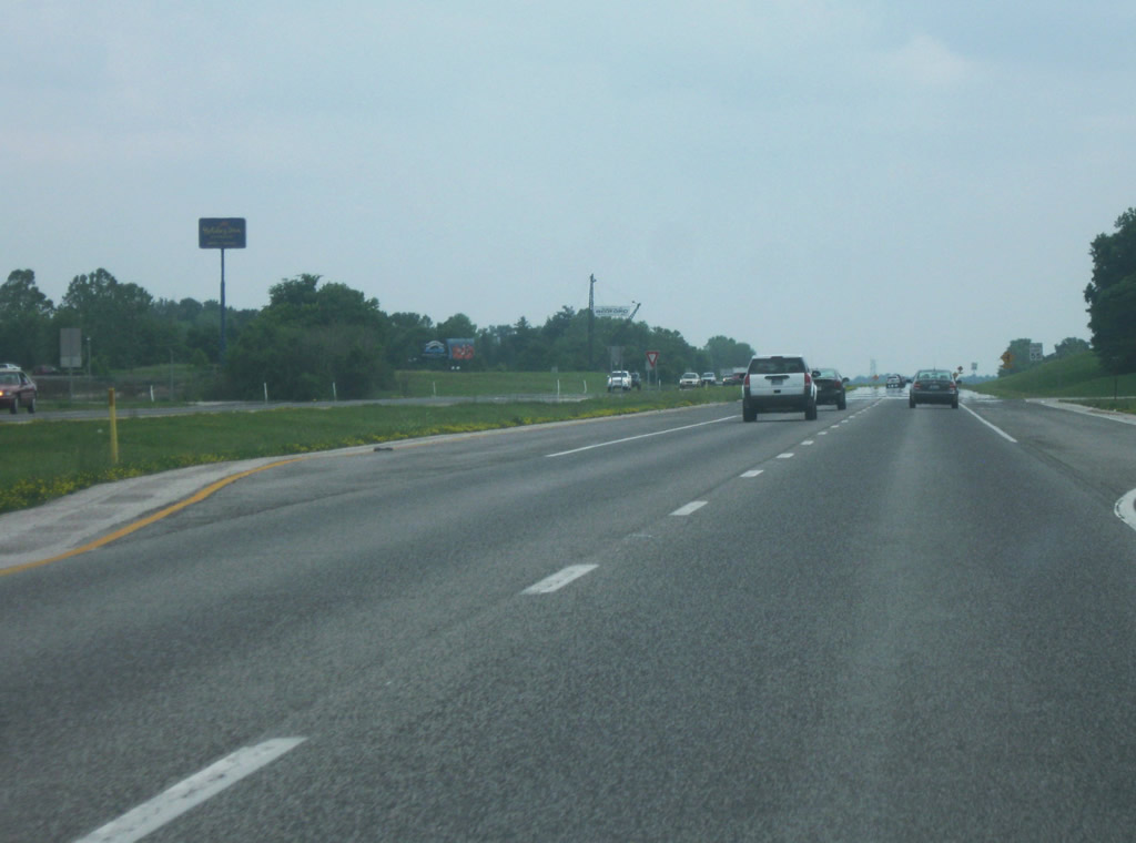
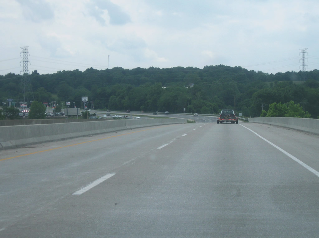
| South of the U.S. 50 East/SR 450 intersection, SR 37 now carries U.S. 50 West as they multiplex for the next few miles. U.S. 50 is a 172 mile two lane windy road across southern Indiana. Because it is located in between interstates (70 and 64) it remains a major highway across the area. There are a few intersections along this stretch as the highway links up with the south side of Bedford, but only 29th Street has a stoplight with it. 06/13/09 |
|
| SR 37 at the intersection with 35th Street on the southwest side of Bedford. There are still a few businesses along this stretch of highway, but the highway remains free-flowing. 06/13/09 |
|
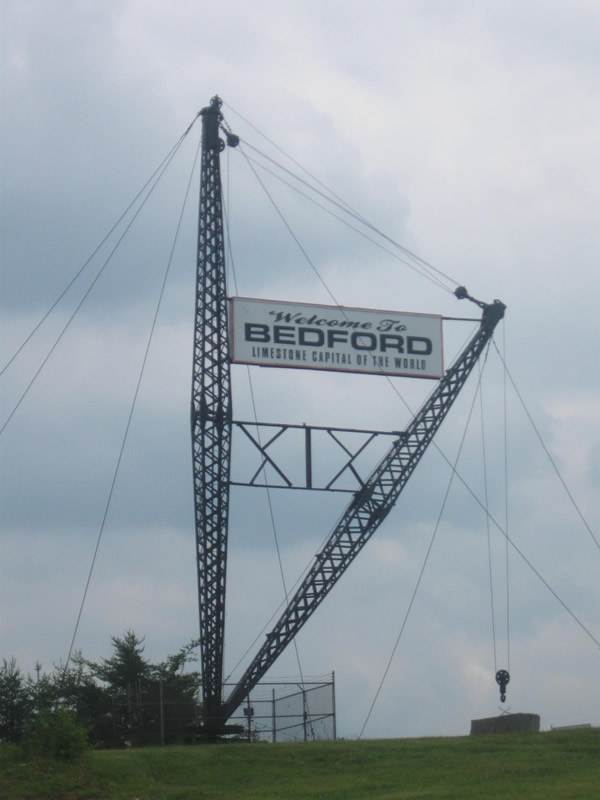
| This unique crane structure welcomes travelers on both sides of SR 37 to Bedford and proclaims it as the "Limestone Capital of the World." The crane can be seen getting ready to lift up a piece of Indiana Limestone. 06/13/09 |
|
| SR 37/U.S. 50 West go down to one lane as it descends into the valley of the East Fork of the White River. The highway prepares to meet with the Mitchell Road (Old U.S. 50) corridor out of Bedford. Mitchell Road provides a direct link from the southwest into downtown Bedford. The directional interchange between Mitchell Road and SR 37/U.S. 50 is built into the limestone bedrock of the hill that the highway descends as it approaches the river. 06/13/09 |
|
| SR 37/U.S. 50 West crosses the East Fork of the White River via the George C. Hawkins Memorial Bridge. At this point, the highway is following the routing of U.S. 50 rather than SR 37. The piers of the older bridge structure that carried U.S. 50 can be viewed to the north while crossing the river, easily the largest river that SR 37 crosses along its route. 06/13/09 |
|
| Now on the other side of the East Fork of the White River, U.S. 50 breaks off toward the west as SR 37 continues south. A guide sign announces the control cities of Shoals and Vincennes. Shoals, the county seat of adjacent Martin County, is located about 22 miles from this junction, while Vincennes, located on the Wabash River, is about 70 miles away. 06/13/09 |
|
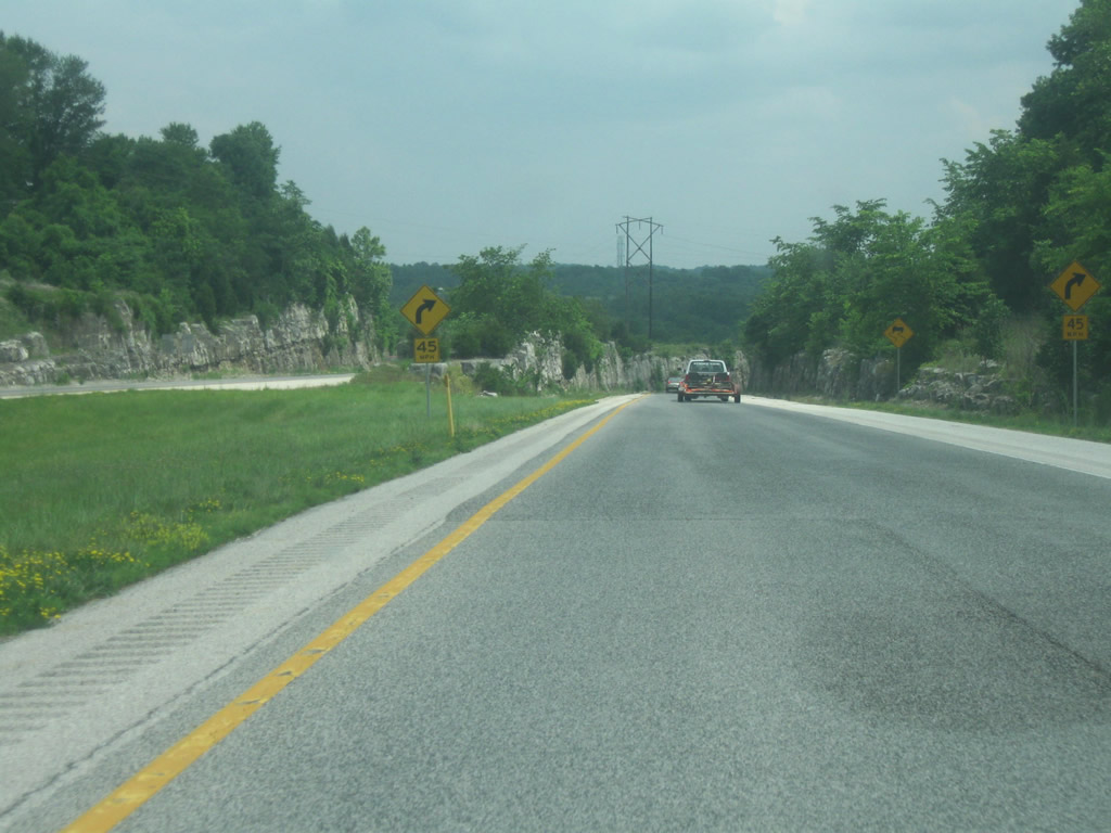
| U.S. 50 enters Martin County (population 10,334) through wooded scenery and along a windy road. The Martin State Forest can be reached from U.S. 50 from between the Martin-Lawrence County line and Shoals. The state park offers users hiking and mountain bike trails as well as hunting and fishing opportunities. 03/05/10 |
|
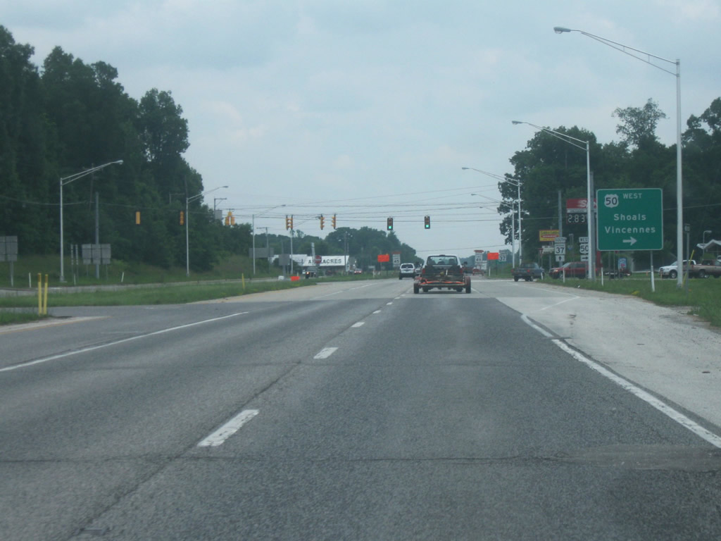
| Now within the county seat of Shoals, U.S. 50 west nears the junction with U.S. 150 east. U.S. 150 is a 571 mile highway connecting Mount Vernon, Kentucky to Moline, Illinois. In Indiana, it travels northwest from the Louisville area through Paoli and French Lick before joining U.S. 50 here in Shoals. The highway will follow U.S. 50 for most of its remaining trip across Indiana. At U.S. 41 in Vincennes, U.S. 150 parts with U.S. 50 to head north along U.S. 41. Shoals, located along the East Fork of the White River, is best known for the Jug Rock formation, the only free-standing table rock formation east of the Mississippi River. This unique formation can be found just off the highway to the west of town. 03/05/10 |
|
| U.S. 50/150 West passes the flasher that marks the intersection with Main Street. Main Street leads to the small downtown for Shoals and the Martin County Courthouse. The old Martin County Courthouse, now a historic museum of the county, lies across the East Fork of the White River. 06/06/12 |
|
| U.S. 50/150 cross the East Fork of the White River on a modern bridge that replaced a previous truss span bridge to the immediate north of the current span. The river separates Shoals into two halves. 06/06/12 |
|
| Reassurance shields for both U.S. 50/150 mark the highway on the other side of the East Fork of the White River at Poplar Street. 06/06/12 |
|
| The US highway tandem ascend from the river valley through the west side of Shoals. The Jug Rock formation can be accessed off the highway near the top via Albright Lane, though finding the exact spot is a bit more difficult. 06/06/12 |
|
| A short right passing lane helps travelers up the hill from the river valley below as U.S. 50/150 leaves the town of Shoals. 03/05/10 |
|
| Now at the intersection with SR 450 to the west of Shoals. SR 450 has both its western and eastern terminus with U.S. 50. 06/06/12 |
|
| The small towns of Dover and Williams, as well as Williams Dam are all located north along SR 450. 06/06/12 |
|
| SR 450 begins its journey to the northeast back to U.S. 50 as the highway winds its way 26 miles from outside of Shoals to Bedford. 06/06/12 |
|
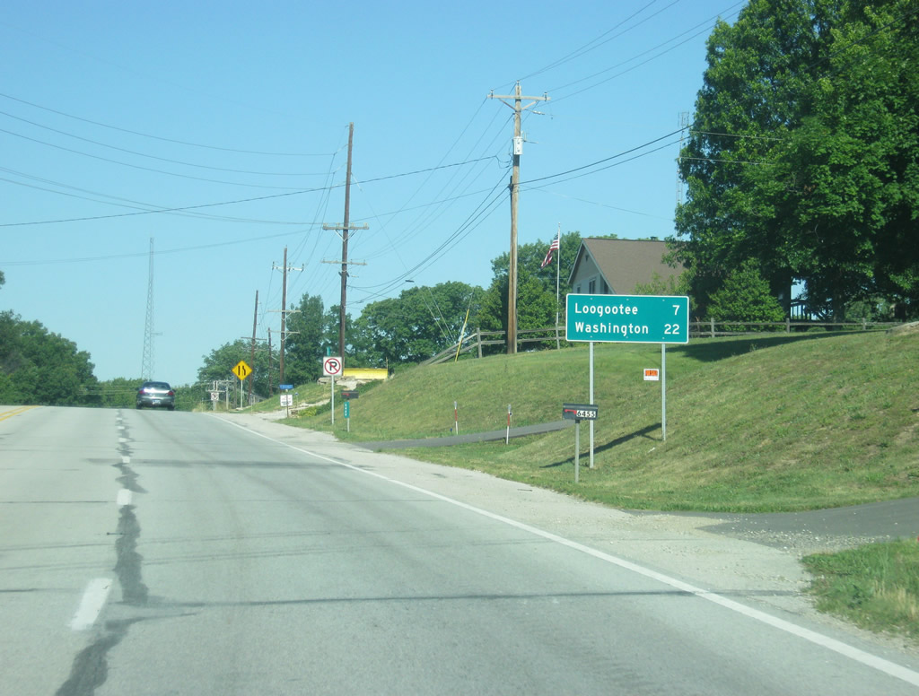
| Beyond the junction with SR 450, U.S. 50/150 West is within seven miles of Loogootee and 22 miles from Washington. Loogootee is situated near the Martin-Daviess county line. 06/06/12 |
|
| U.S. 50/150 continue together through western Martin County. The road winds through the rugged terrain en route to Loogootee, the largest community in the county. West of Loogootee, the terrain becomes flatter and the two highways traverse the Wabash Lowlands en route to Vincennes. 03/05/10, 06/06/12 |
|
| The dual U.S. highways enter the city of Loogootee (population 2,751) in the west end of the county. 03/05/10 |
|
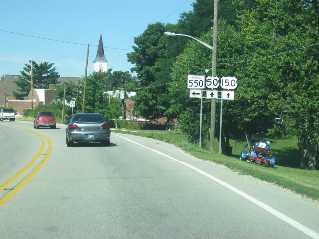
| Approaching the intersection with SR 550 in Loogootee. SR 550 exists in two segments, with the eastern segment stretching 10 miles from this point to U.S. 150 southeast of Shoals. A second segment exists in Knox County and connects U.S. 50/150 with U.S. 41. 06/06/12 |
|
| SR 550 (Kentucky Avenue) turns toward the southeast on a trajectory that takes it to the very small communities of Mt. Pleasant, Pleasant Valley, and Lacy. 06/06/12 |
|
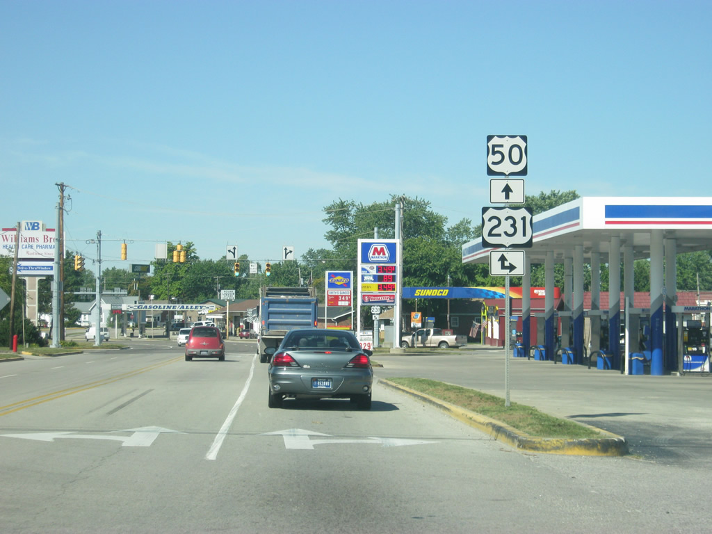
| West of the junction with SR 550, U.S. 50/150 (Broadway Street) approaches the intersection with U.S. 231 north in the heart of Loogootee. 06/06/12 |
|
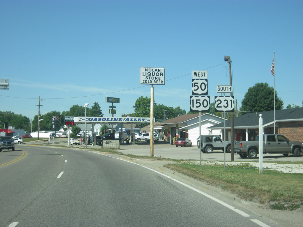
| U.S. 50/150 West nears the intersection with U.S. 231. Currently the longest highway in Indiana, U.S. 231 travels 297 miles from its northern terminus in St. John through Rensellaer, Lafayette, Crawfordsville, Greencastle, Spencer, Loogootee, Jasper and Rockport before entering Kentucky. 06/06/12 |
|
| The three U.S. highways converge for a half mile stint before U.S. 231 departs for Owensboro, Kentucky. The segment consists of four lanes to accommodate traffic along a commercialized stretch. 06/06/12 |
|
| U.S. 231 breaks off to the south toward the Dubois County seat of Jasper as U.S. 50/150 continues to the west. Jasper is 21 miles to the south. 06/06/12 |
|
| West of the junction with U.S. 231 south, U.S. 50/150 exit Loogootee via Broadway Street. 06/06/12 |
|
| U.S. 50/150 is seven miles away from the town of Montgomery and 14 miles from Washington. 06/06/12 |
|
| U.S. 50/150 West enters Daviess County (population 31,648) on the western boundary of Loogootee. 04/29/12 |
Page Updated 11-29-2012.


 west
west


 West
West


 South
South