|
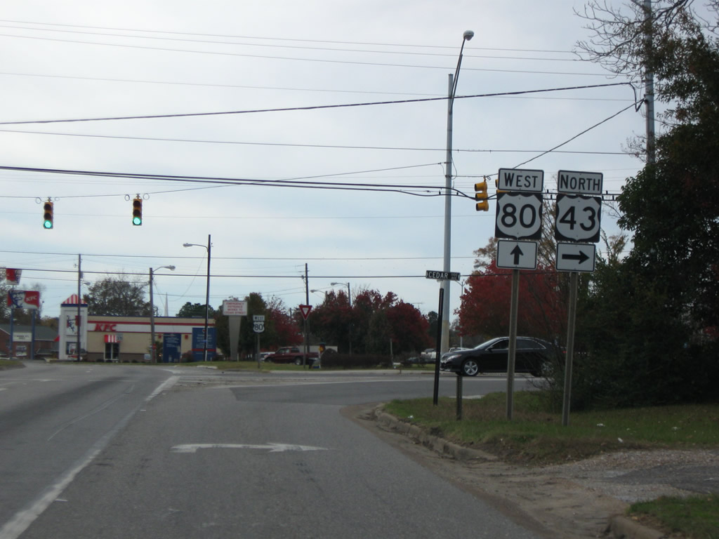
| Traveling through the city of Demopolis, U.S. 80 west approaches U.S. 43 south at Pettus Street. 11/28/09 |
|
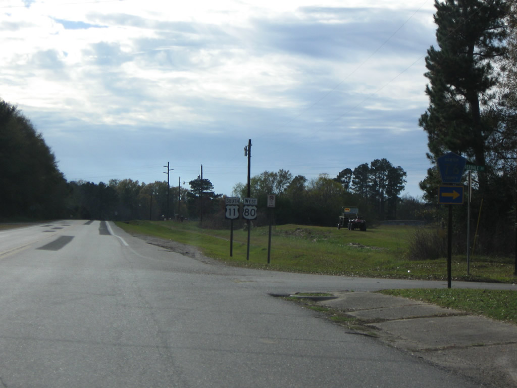
| U.S. 43 originates in Mobile and ventures north to Grove Hill, Linden and Demopolis. Pettus Street north to Park Street and Cedar Avenue represents the pre-1970 alignment of U.S. 43 through the Demopolis street grid. 11/28/09 |
|
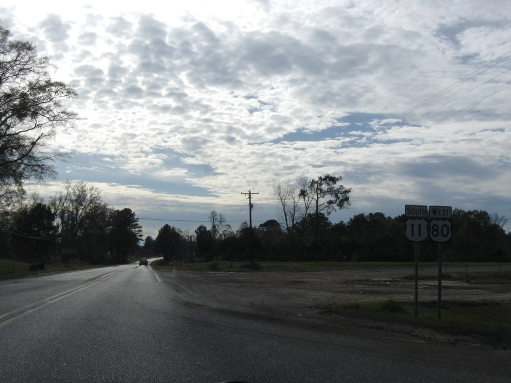
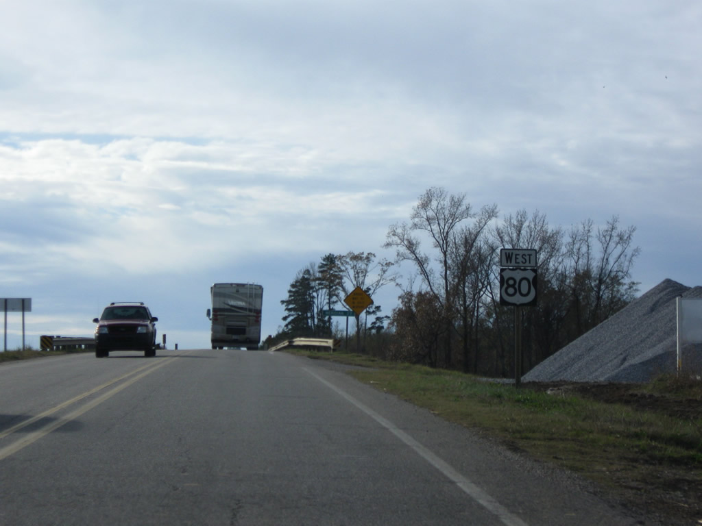
| U.S. 80 reassurance marker posted at Pettus Street. U.S. 43 dog legs west alongside U.S. 80 for 0.952 miles to Cedar Avenue north. 11/28/09 |
|
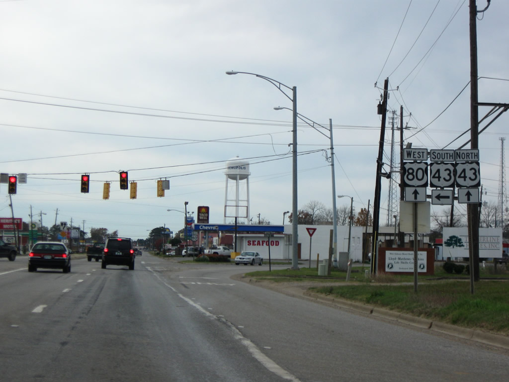
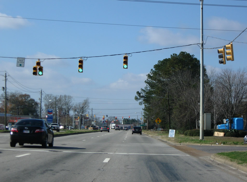
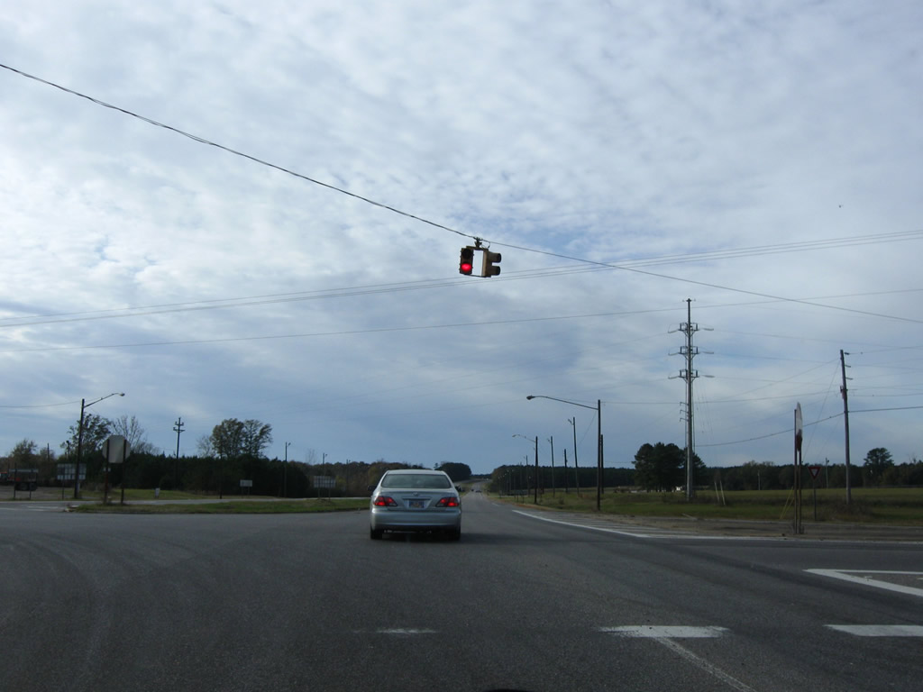
| Front Street heads south from Jefferson Street to meet U.S. 43 & 80 opposite Rosedale Drive at this traffic light. 12/19/09 |
|
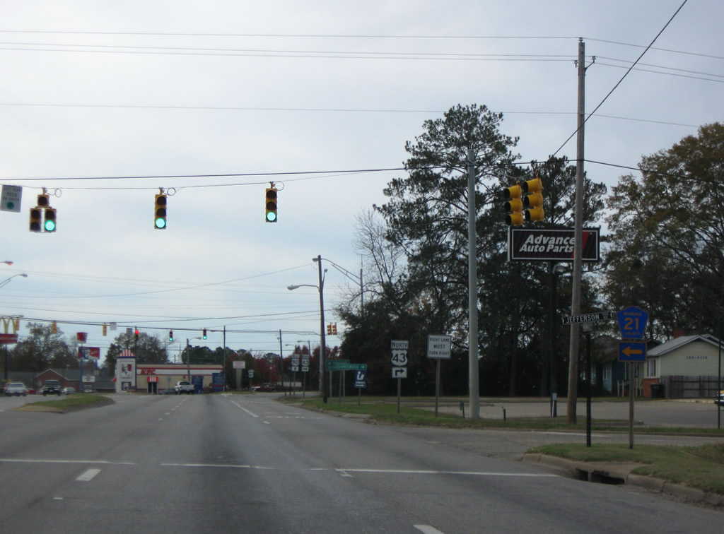
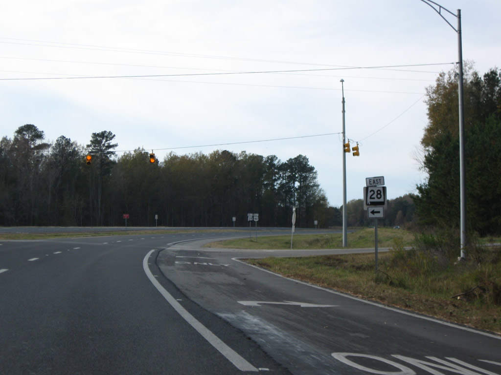
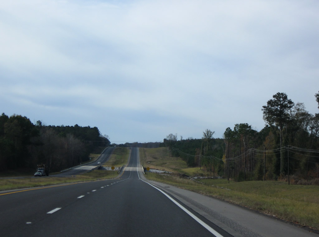
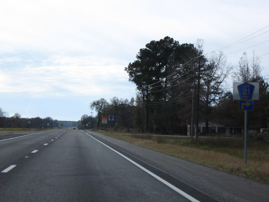
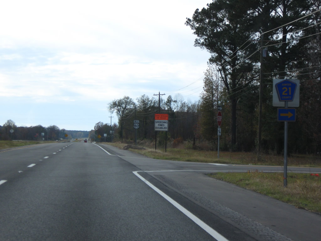
| Marengo County Road 21 (Jefferson Road) leads south from Demopolis to CR 19 for Jefferson Station and SR 28 at Jefferson. 11/28/09 |
|
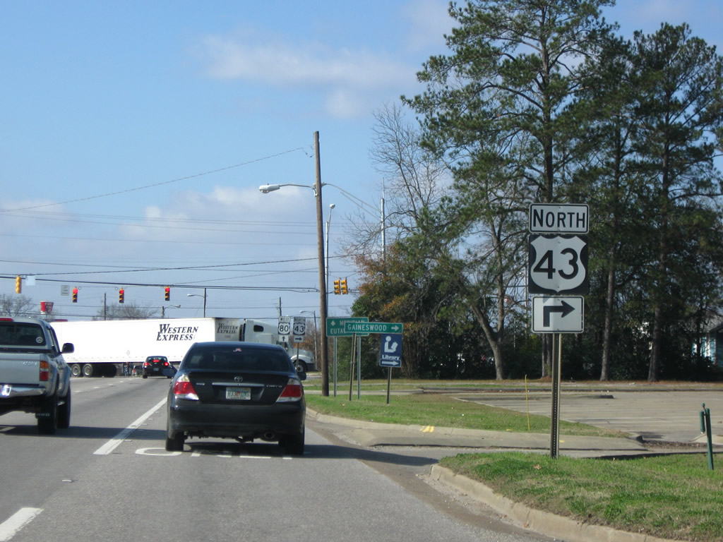
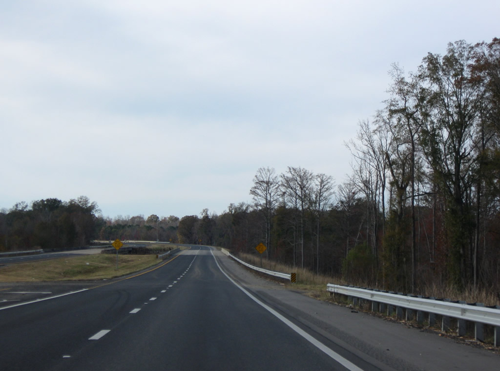
| U.S. 43 north parts ways with U.S. 80 west at the succeeding intersection with Cedar Avenue. 12/19/09 |
|
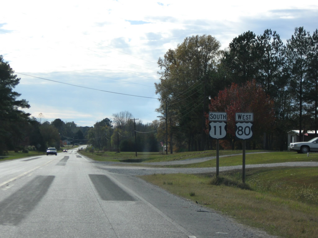
| U.S. 43 follows Cedar Avenue north to Downtown Demopolis. Beyond the city, U.S. 43 continues to Forkland, Etaw and an overlap with U.S. 11 to Tuscaloosa. U.S. 80 progresses west 34 miles to Cuba, where it joins U.S. 11 south into Meridian, Mississippi. 11/28/09 |
|
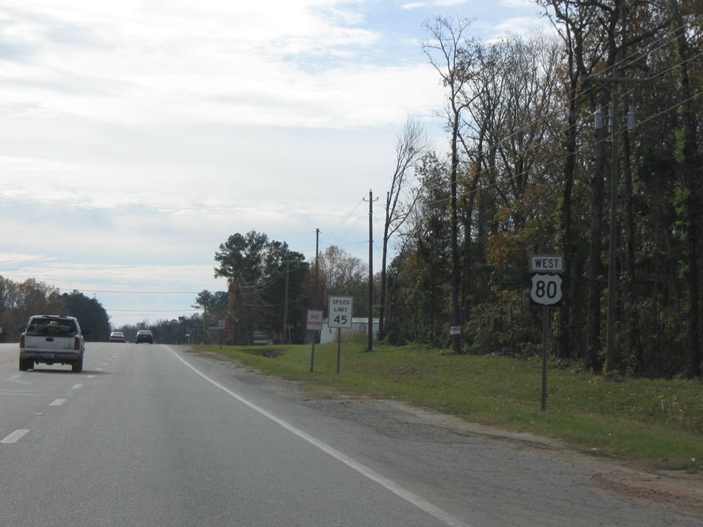
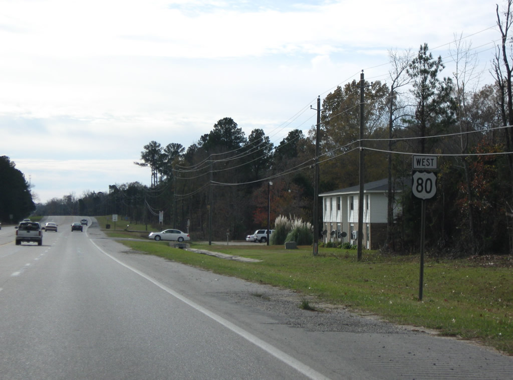
| U.S. 80 bends southwestward from U.S. 43 and narrows from a divided highway to a five lane boulevard. This shield follows the intersection with Maria Avenue at the end of the commercial strip. 11/28/09 |
|
| A few apartments line U.S. 80 west through western reaches of Demopolis. This shield assembly stands beyond Hackberry Lane. 11/28/09 |
|
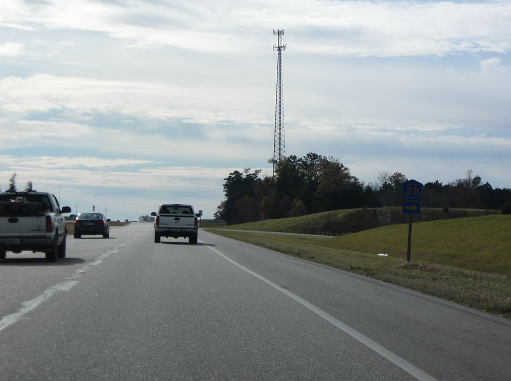
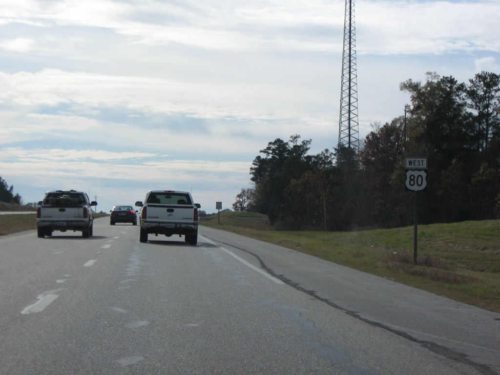
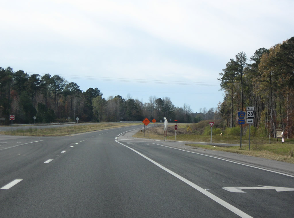
| County Road 28 loops one mile north from U.S. 80 along a former alignment of U.S. 80 outside the Demopolis city limits. 11/28/09 |
|
| U.S. 80 expands into a divided highway adjacent to County Road 28. Speed limits increase to 65 miles per hour. 11/28/09 |
|
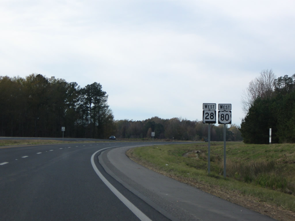
| SR 28 runs 7.25 miles northwest from Jefferson to combine with U.S. 80 in western Marengo County. 11/28/09 |
|
| SR 28 stretches 97.29 miles across west central parts of the state, linking U.S. 80 with Linden and Camden before ending at SR 21 in Wilcox County. 11/28/09 |
|
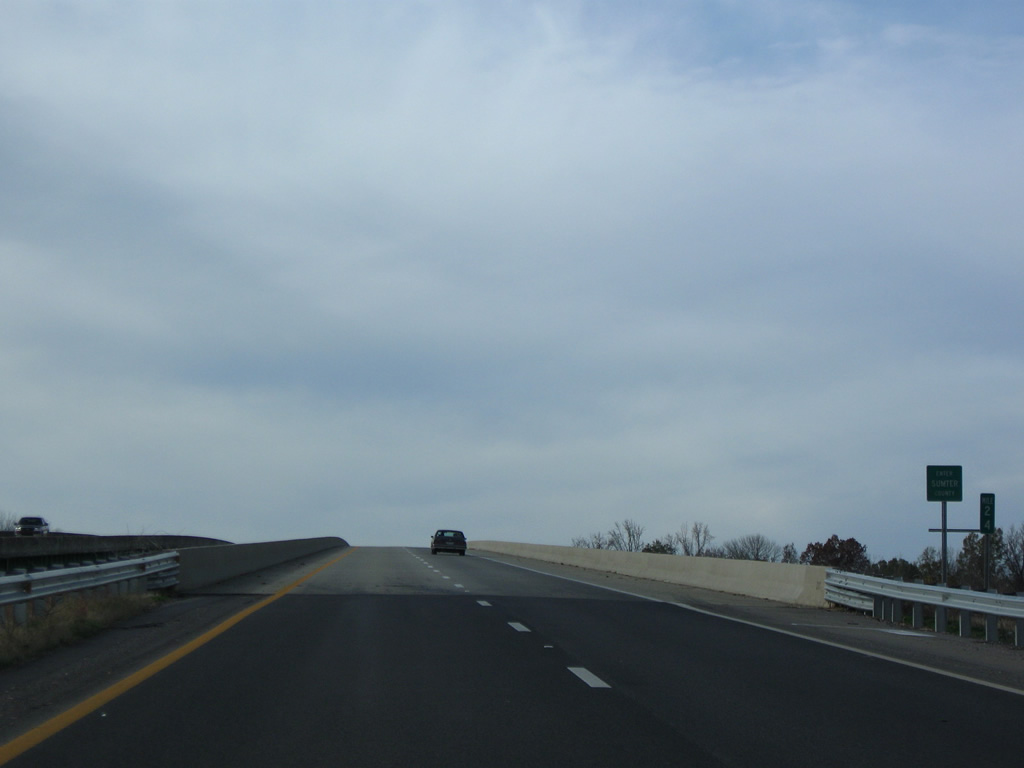
| U.S. 80/SR 28 combine for 4.52 miles into eastern Sumter County. 11/28/09 |
|
| U.S. 80/SR 28 west span the Tombigbee River and enter Sumter County. U.S. 80 formerly crossed to the southwest at Moscow. 11/28/09 |
|
| Less than a mile west of the Tombigbee River, U.S. 80/SR 28 cross Spring Creek at the second of four flood relief bridges. 11/28/09 |
|
| SR 28 branches west from U.S. 80 to Coatopa at the intersection with Sumter County Route 25 (former U.S. 80) south to Moscow. 11/28/09 |
|
| SR 28 continues northwest 12.21 miles to the Sumter County seat of Livington and 9.72 miles from there to SR 17. CR 25 spurs south along old U.S. 80 to Moscow on the Tombigbee River. 11/28/09 |
|
| U.S. 80 advances five miles west from SR 28 to the rural settlement of Bellamy. 11/28/09 |
|
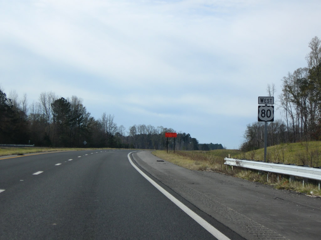
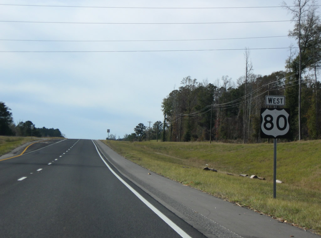
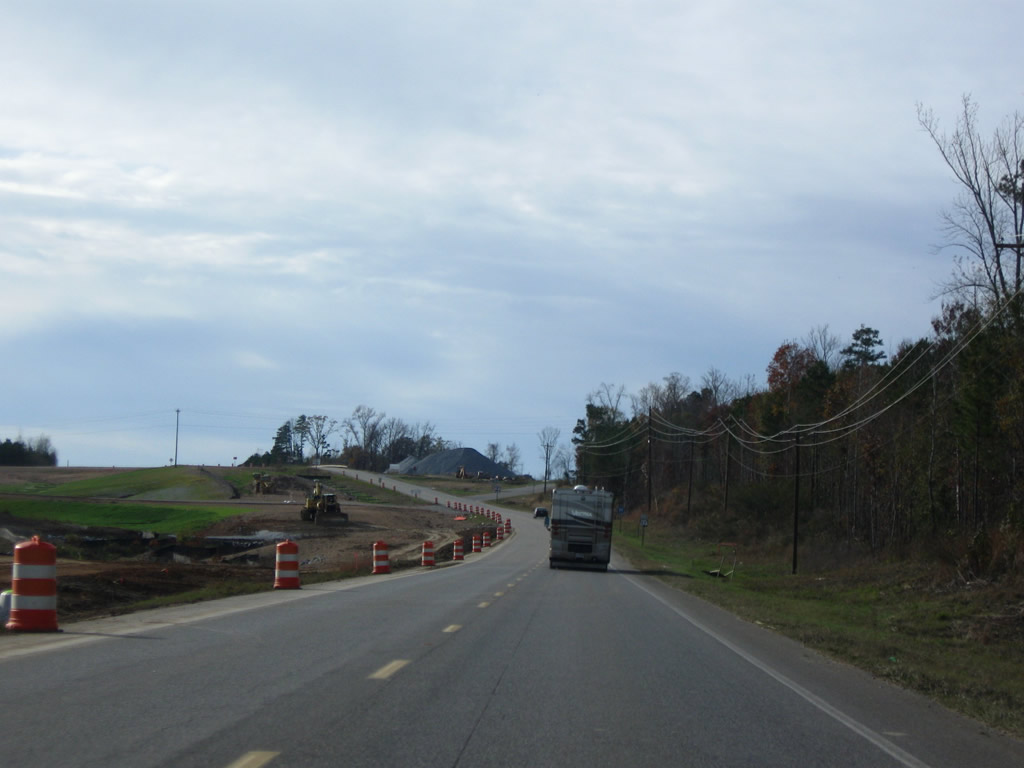
| U.S. 80 reassurance marker posted ahead of Mill Creek. Four laning along this stretch of U.S. 80 was completed in 2009. 11/28/09 |
|
| The bridges over Mill Creek come into view along U.S. 80 west. 11/28/09 |
|
| Sumter County Road 21 parallels Ponkabia Creek northward to SR 28. 11/28/09 |
|
| County Road 21 arcs 4.9 miles north from U.S. 80 by Lilita to SR 28 near Brewersville. 11/28/09 |
|
| U.S. 80 trends southward from CR 21 to the community of Bellamy. 11/28/09 |
|
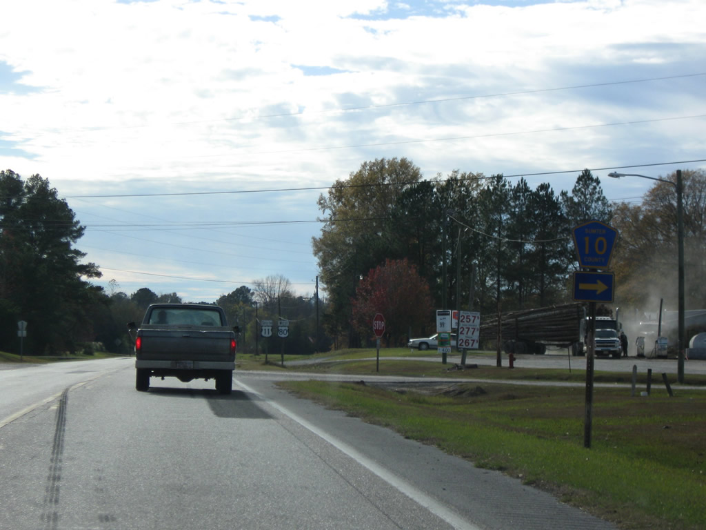
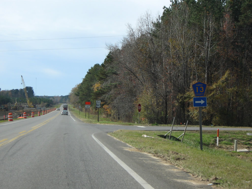
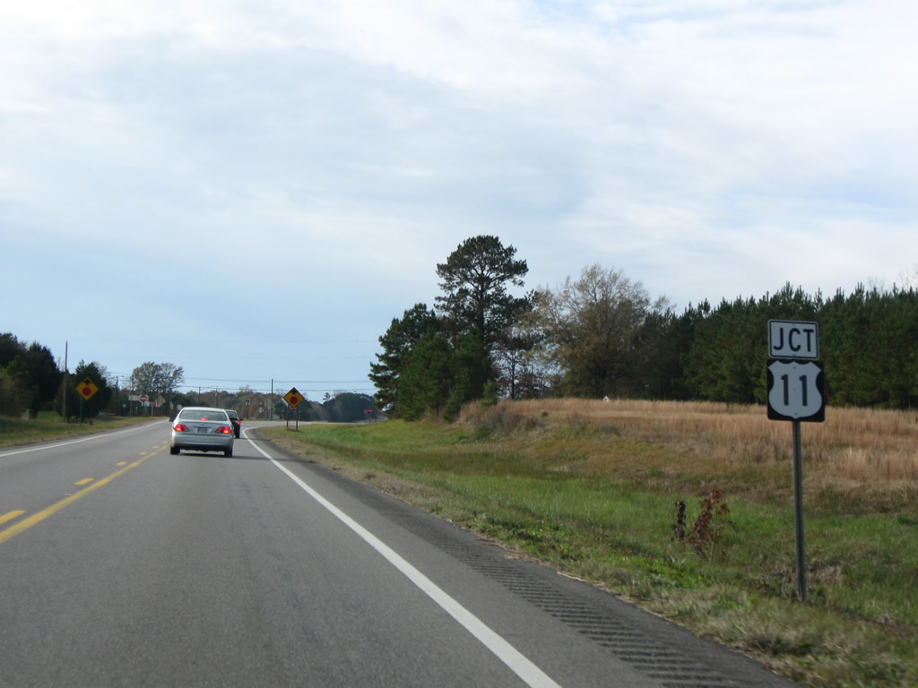
| Sumter County Road 13 spurs north 8.1 miles from U.S. 80 to U.S. 11 at Livingston. 11/28/09 |
|
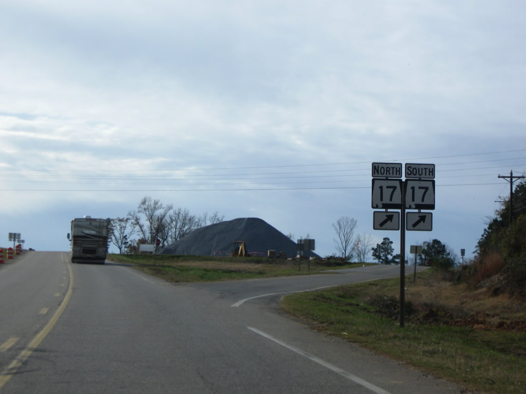
| Road work reconfigured the parclo interchange between U.S. 80 and SR 17 with a wider access road on the southeast side of the exchange. 11/28/09 |
|
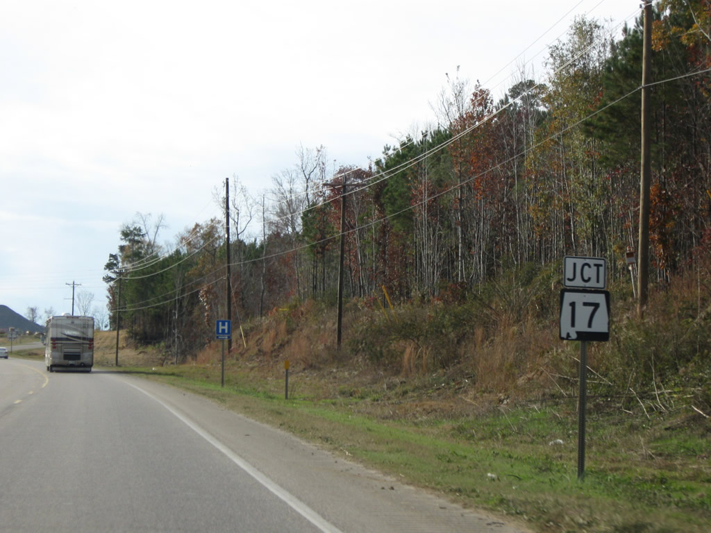
| SR 17 heads four miles south from York to meet U.S. 80 at Scratch Hill. The state route travels 346.56 miles overall between the south end of U.S. 45 in Mobile and the Tennessee state line north of Florence. 11/28/09 |
|
| The previous traffic pattern at the exchange with SR 17 utilized separate access roads along both sides of U.S. 80. A loop ramp SR 17 with U.S. 80 westbound here now. 11/28/09 |
|
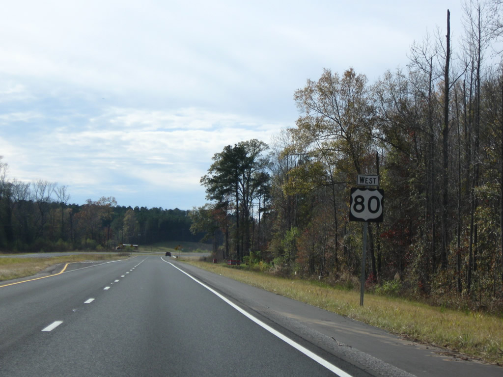
| U.S. 80 continues 27 miles west from SR 17 to Meridian, Mississippi. 11/28/09 |
|
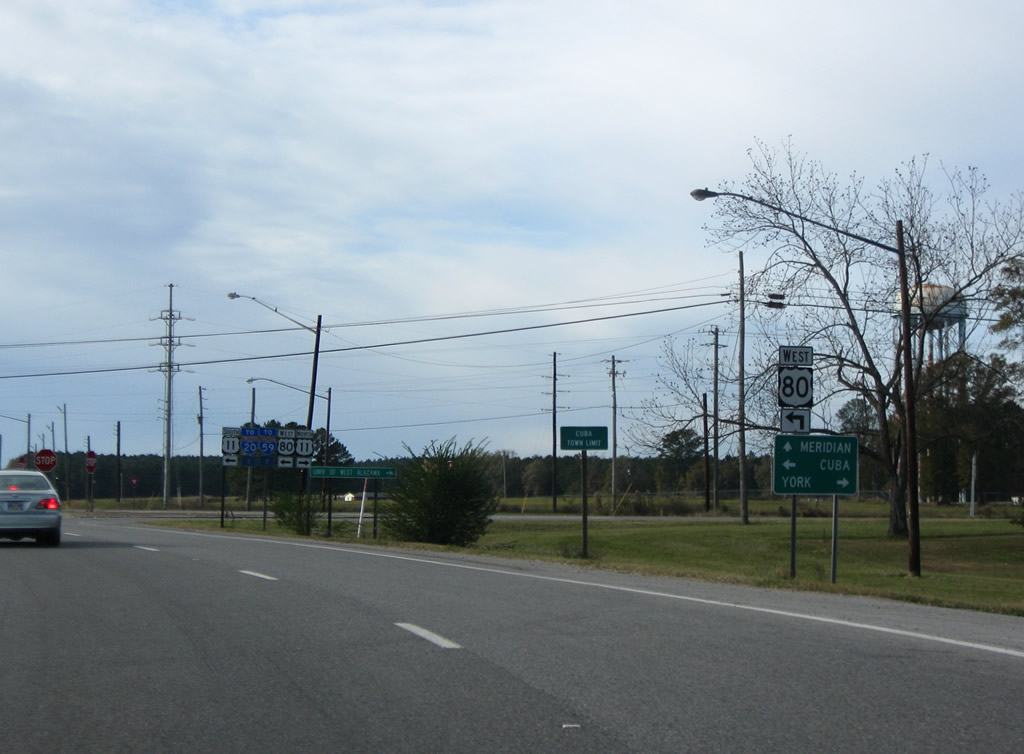
| Four laning of U.S. 80 west from SR 17 to U.S. 11 was underway in 2012. The two routes converge at the town of Cuba. 11/28/09 |
|
| U.S. 80 west joins U.S. 11 south along 6th Avenue through Cuba en route to Meridian, Mississippi. U.S. 11 north parallels I-20/59 five miles northeast to York. 11/28/09 |
|
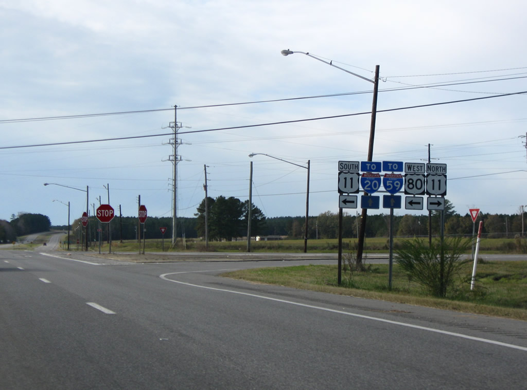
| U.S. 11/80 west travel 20 miles together before joining I-20/59 through Meridian, Mississippi. The state line is 3.012 miles to the west beyond Cuba. 11/28/09 |
|
| SR 8, the unsigned counterpart of U.S. 80 throughout Alabama, extends another 2.28 miles west from the flasher with U.S. 11/80 to a diamond interchange with I-20/59. 11/28/09 |
|
| U.S. 11/80 confirming markers posted beyond SR 8 west. SR 7 doubles as the unsigned state route counterpart for both highways to the state line. 11/28/09 |
|
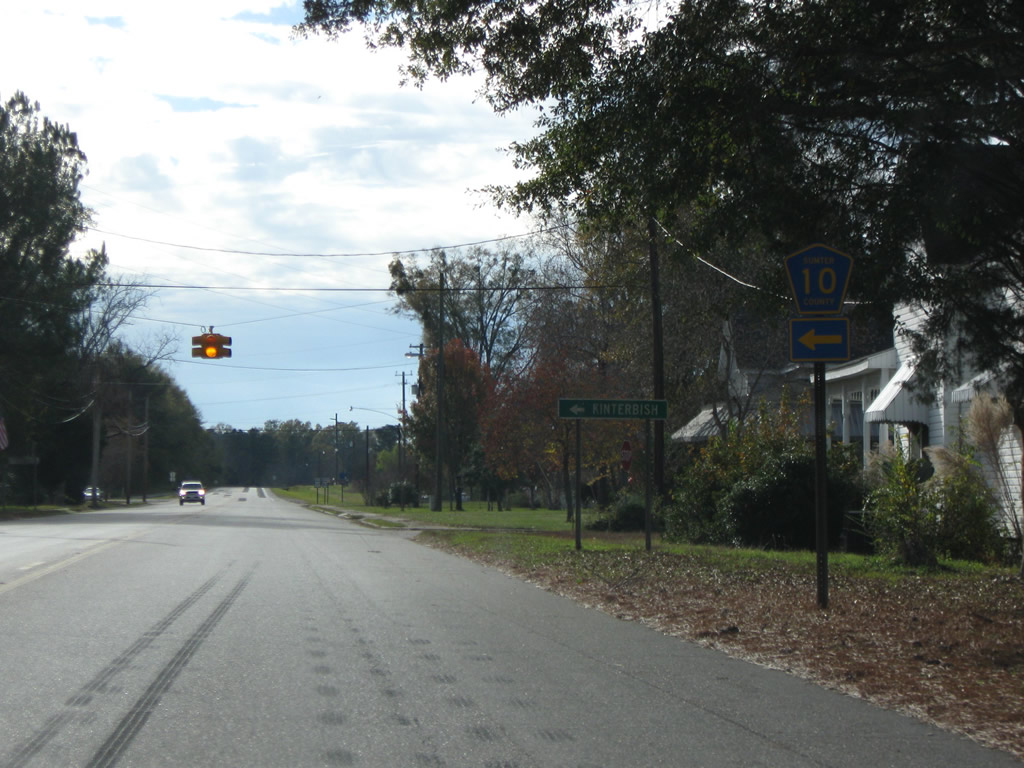
| The north branch of Sumter County Route 10 follows Sheepskin Road from U.S. 11/80 in Cuba to CR 27 southeast of Dove. 11/28/09 |
|
| Shields for U.S. 11/80 posted along 6th Avenue southwest of CR 10 north and Pretty Branch Road south. Parallel Greenville Avenue and Tims Road represent the 1930s alignment of the US highways to the north. 11/28/09 |
|
| The southern branch of CR 10 lines 3rd Street from U.S. 11/80 (6th Avenue) in Cuba. CR 10 drops southeast from the town to CR 6 at Kinterbish. 11/28/09 |
|
| CR 76 (Lauderdale Road) west follows from U.S. 11/80 west (6th Avenue) to Lauderdale County, Mississippi. 11/28/09 |
Page Updated 10-10-2012.

 West
West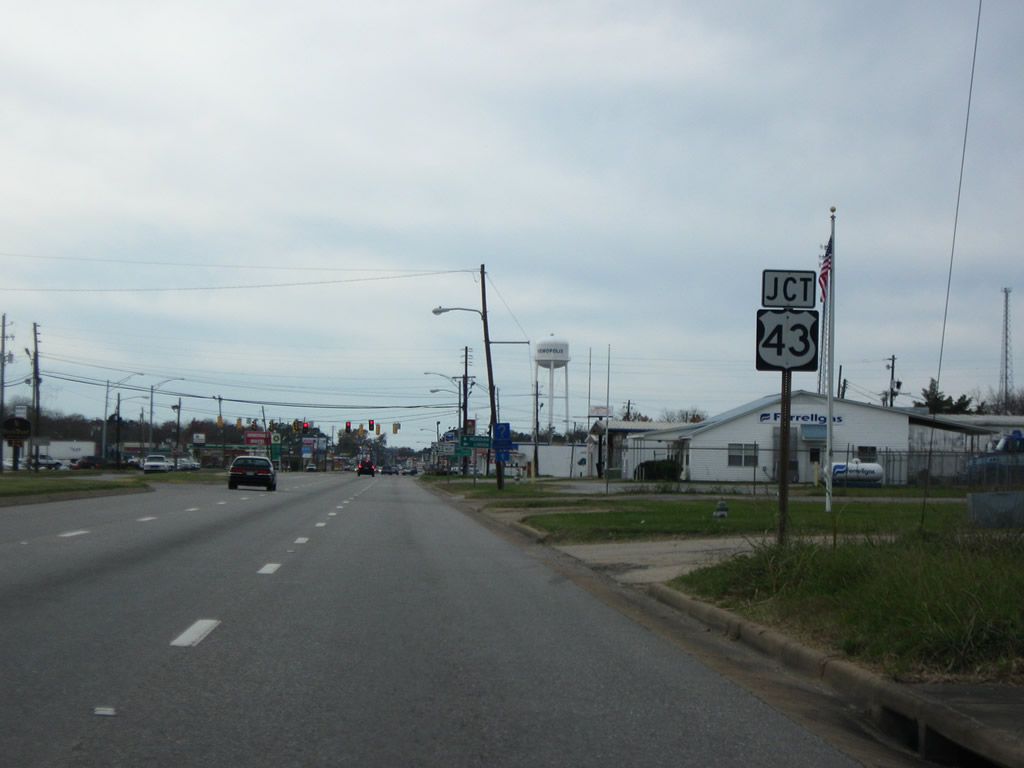
 North
North 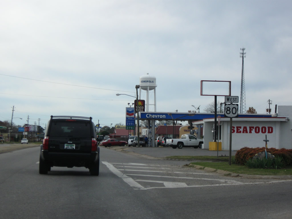


 South
South