|
| U.S. 98 lowers from the Perdido Bay bridge to the intersection with County Road 99 in Lillian. 08/04/06 |
|
| U.S. 98 enters Baldwin County, Alabama near Chagrin Point on Perdido Bay. 08/04/06 |
|
| County Road 99 (Boykin Boulevard) parallels Perdido Bay northward from U.S. 98 to Lillian Beach. South from Lillian, CR 99 extends to the Spanish Cove community, CR 91 near Red Bluff and Soldier Creek Road. 10/01/09 |
|
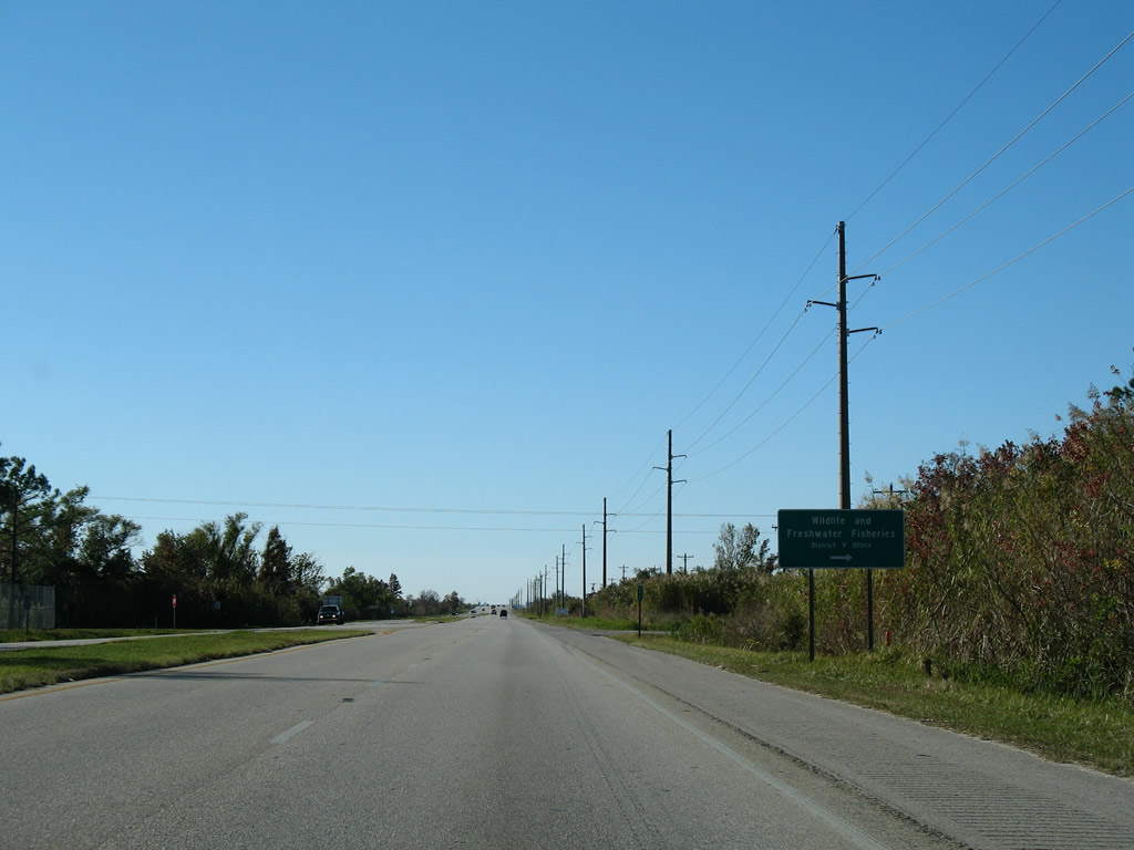
| Continuing northwest along U.S. 98 from County Road 99 to St. Francis Street in Lillian. Lillian tried to incorporate in an effort to stave off annexation from Elberta and Orange Beach to the west. 10/01/09 |
|
| CR 93 travels north from U.S. 98 at Hillcrest Road to agricultural areas and a handful of residences on a 2.5 mile alignment. 10/01/09 |
|
| U.S. 98 travels one mile west from County Road 93 to meet County Road 91. 08/04/06 |
|
| CR 91 ventures north from Soldier Creek near Red Bluff on Perdido Bay to cross U.S. 98. The route concludes 3.5 miles northward near Helton Bay. 08/04/06 |
|
| Nearing the north end of CR 97 on U.S. 98 west. 08/04/06 |
|
| County Road 97 follows Perdido Road south four miles to Escambia Avenue at the town of Perdido Beach. The route concludes at Magnolia Street near Palmetto Creek and Perdido Bay. 08/04/06 |
|
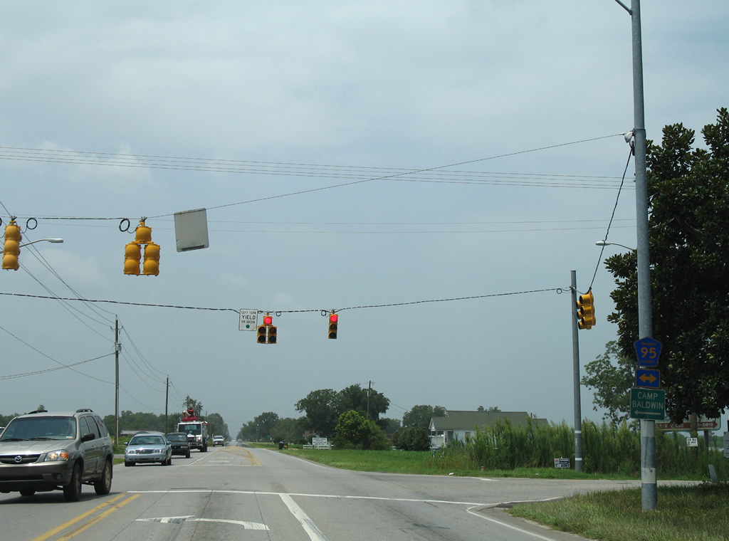
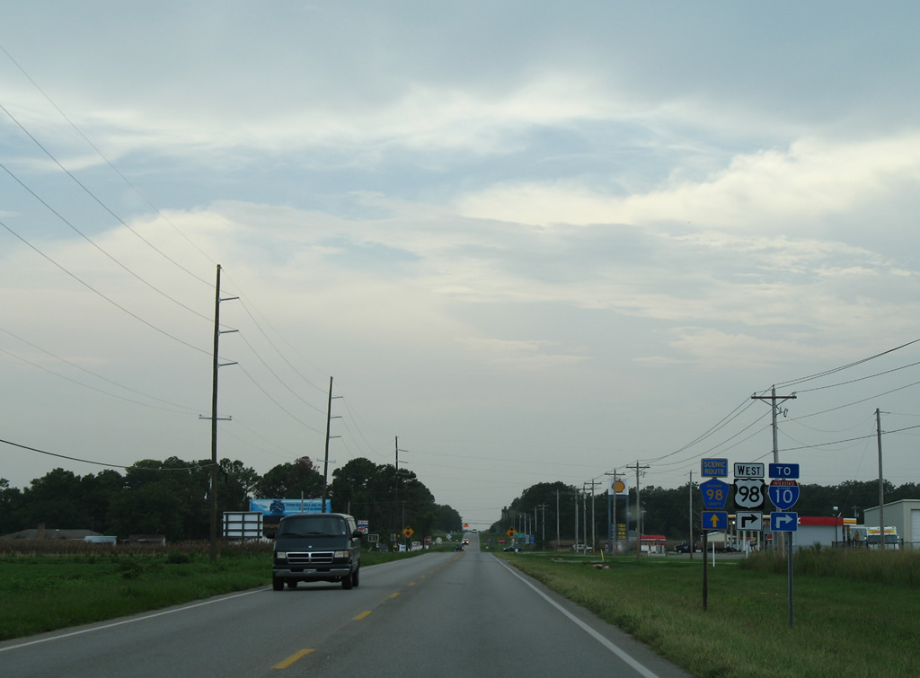
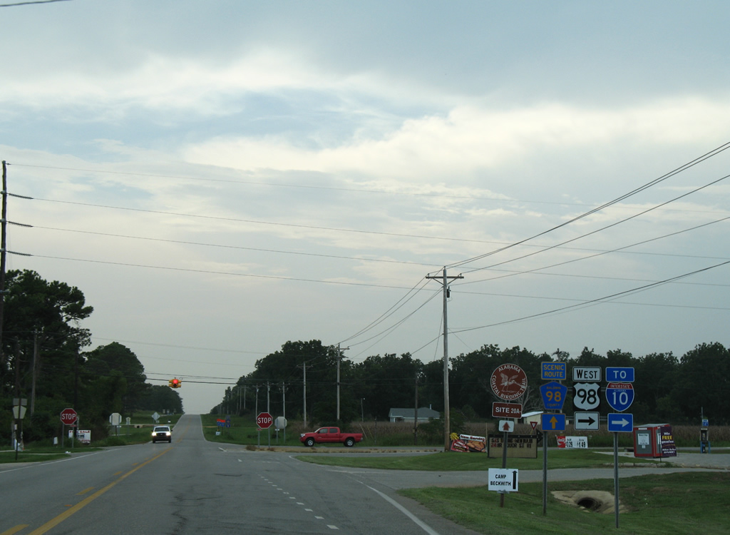
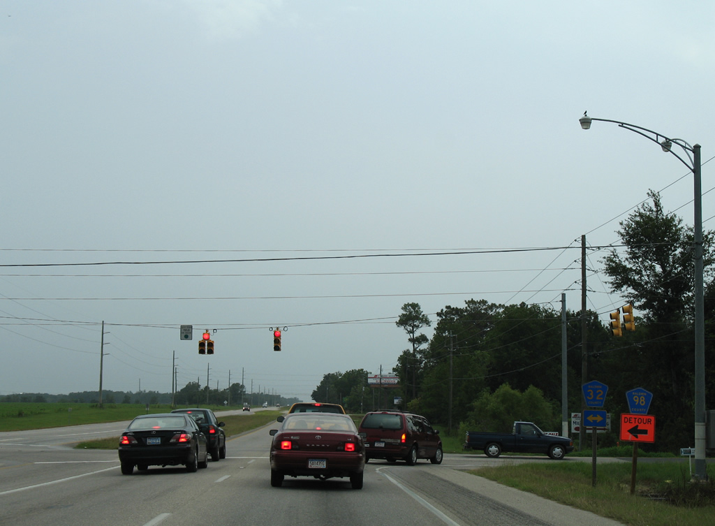
| The succeeding traffic light along U.S. 98 west is at Baldwin County Road 95. 08/04/06 |
|
| County Road 95 heads north four miles to CR 32 and south to NAS Whiting OLF Wolf and Arnica Bay. Connections with separate alignments of County Road 42 lead motorists to Josephine, Barbers Marina, and Hammock Bay. 08/04/06 |
|
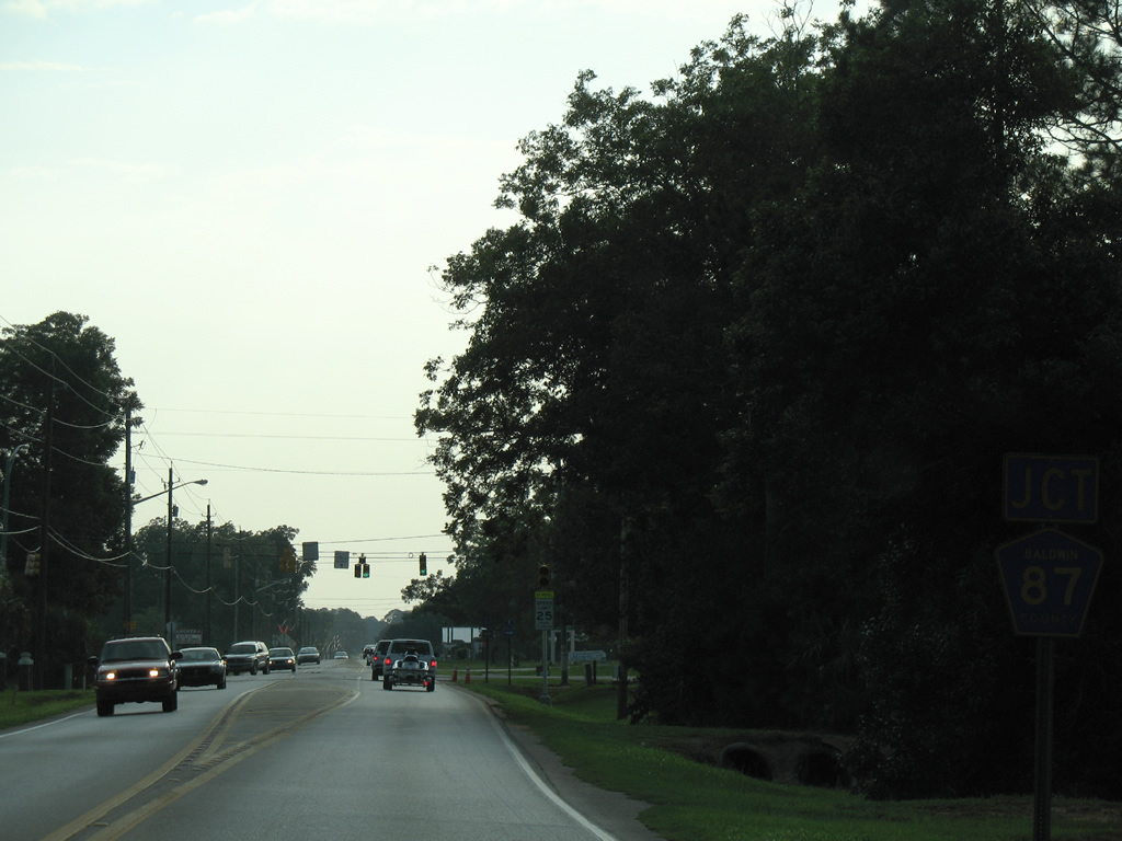
| Two miles west of County Road 95, U.S. 98 meets County Road 87 in east Elberta. 08/02/06 |
|
| CR 87 constitutes a lengthy north-south route from Elberta to Elsanor (U.S. 90). and Gateswood (County Road 112). Outside Elberta, County Road 87 partitions into separate branches. The western portion spurs to Twin Branch Lane; the eastern segment continues along Feely Road east and Stucki Road south to County Road 20 near Hammock Creek. 10/01/09 |
|
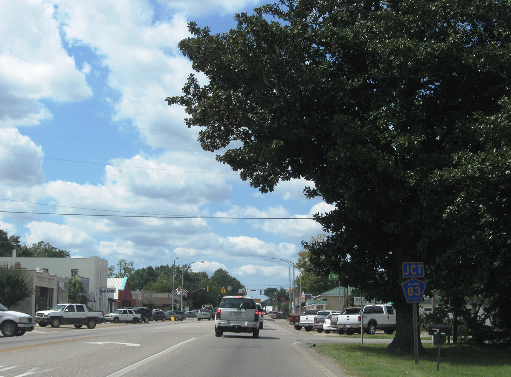
| Entering the heart of Elberta, U.S. 98 follows State Street to intersect CR 83 (Main Street). 10/01/09 |
|
| CR 83 begins at County Road 20 at Miflin in south Elberta and travels north to County Road 32 on the outskirts of Foley. Three more sections of County Road 83 exists north of County Road 32. 10/01/09 |
|
| U.S. 98 angles southwest from Elberta ahead of Sandy Creek. 10/01/09 |
|
| U.S. 98 enters the city of Foley ahead of the Foley Beach Express. Comprising a 13.5 mile route linking SR 180 (Canal Road) at Orange Beach with SR 59 south of Summerdale, the expressway spans the Intracoastal Waterway across a two lane toll bridge. 10/01/09 |
|
| The Foley Beach Express narrows to an undivided boulevard at U.S. 98, but otherwise constitutes a controlled access expressway. The corridor opened southward from Summerdale in 2000, and northward along the Baldwin Beach Expressway to I-10 in August 2014. 10/01/09 |
|
| U.S. 98 (Laurel Avenue) west crosses paths with SR 59 (McKenzie Street) in Downtown Foley. SR 59 represents the main highway linking Gulf Shores and Orange Beach with Interstate 10, Bay Minette and points north along I-65. 06/05/02 |
|
| Two miles west of Downtown Foley, U.S. 98 leaves the city and meets CR 65. 08/03/06 |
|
| CR 65 travels south from U.S. 98, 5.25 miles to Bon Secour and 3.5 miles north to County Road 28 (Marlow Road) outside Summerdale. County Road 65 also exists from Robertsdale north to near Loxley. 08/03/06 |
|
| U.S. 98 spans Fish River within Weeks Bay Reserve. Pictured here is the 1954 bridge that carried U.S. 98 over the waterway adjacent to Weeks Bay. Construction from summer 2004 to March 2007 replaced the narrow span with a wider bridge that includes full shoulders and a multiuse path. 06/05/02 |
|
| Leaving the Turkey Branch area and SR 181 / CR 27 north on U.S. 98 west. 08/01/06 |
|
| An additional branch of CR 27 travels south from U.S. 98 along Mary Ann Beach Road to County Road 1 near Fish River Point. 08/01/06 |
|
| County Road 27 departs U.S. 98 west for Mary Ann Nelson Park on Bon Secour Bay. Mary Ann Beach Road Extension ties in from the north as a private road. Future construction will extend SR 181 southward from the turn onto County Road 27, north of Turkey Branch, to end at U.S. 98 here. 08/01/06 |
|
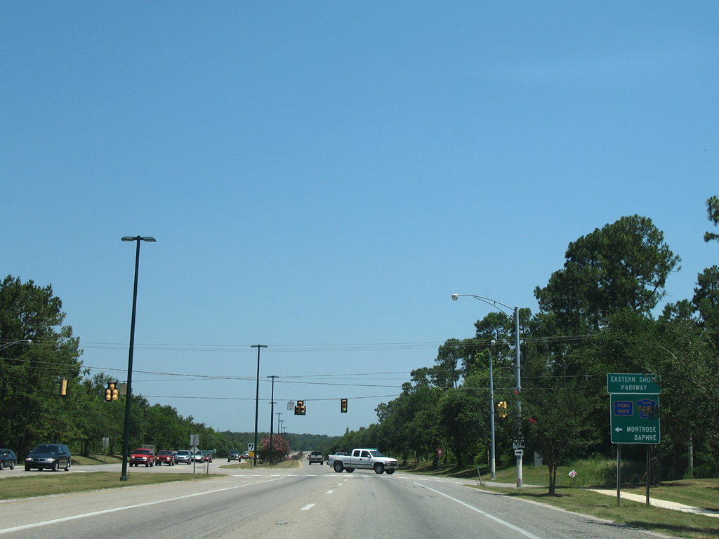
| U.S. 98 travels one mile west from CR 13 to Greeno Road north at County Road 11 south and County Road 98 (Eastern Shore Parkway) west. An Interstate 10 trailblazer directs motorists onto Greeno Road northbound through Fairhope. 08/03/06 |
|
| CR 98 extends west along what was U.S. 98 Alternate to Eastern Shore Parkway north along Mobile Bay. County Road 11 heads south and then east, paralleling U.S. 98 back to County Road 27. 08/03/06 |
|
| Signs for Scenic CR 98 replaced the majority of remaining signs for U.S. 98 Alternate by 2002. The bannered route follows the former alignment of U.S. 98 through Point Clear, Magnolia Beach, Downtown Fairhope, Montrose and Daphne. AASHTO approved the realignment of U.S. 98 east onto Greeno Road on October 3, 1981. 12/09/00 |
|
| U.S. 98 heads northward from Barnwell to Bridgehead. Greeno Road carries the route through Fairhope. 08/03/06 |
|
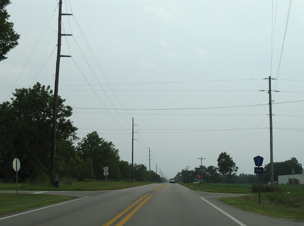
| U.S. 98 meets CR 3 a half mile north from Scenic CR 98. County Road 3 heads east from Barnwell to County Road 13 and north to Section Street in Fairhope along a stair-stepped route west of U.S. 98. 08/03/06 |
|
| 1.25 miles beyond CR 3, U.S. 98 (Greeno Road) crosses paths with CR 24. 08/03/06 |
|
| CR 24 straddles the section line west one mile to end at Bernice Souders Lane and east 3.25 miles to end near the Fish River. 08/03/06 |
|
| U.S. 98 (Greeno Road) expands into a four lane divided highway ahead of County Road 32 (Marlow Road). 08/03/06 |
|
| County Road 32 links U.S. 98 with the adjacent H.L. (Sonny) Callahan Municipal Airport (CQF). The bulk of Fairhope remains to the north. 08/03/06 |
|
| Marlow Road carries CR 32 west to Point Clear and CR 98 (Eastern Shore Parkway). Eastward the route continues beyond the airport to Marlow, Summerdale and a rural end at CC Road near Helton Bay. 08/03/06 |
|
| CR 34 stems east from U.S. 98 at Old Battles Road two miles to SR 181. 08/03/06 |
|
| U.S. 98 narrows onto a five lane boulevard and transitions into an increasingly commercialized stretch from County Road 44 (Twin Beech Road) northward through Fairhope. 06/09/06 |
|
| Twin Beach Road travels west one mile to County Road 3 (Section Street) and Houstonville and east two miles to end at SR 181 in suburban east Fairhope. County Road 44 ends at County Road 98 (Eastern Shore Parkway) near Battles Wharf to the west. 08/03/06 |
|
| Continuing north along U.S. 98 (Greeno Road) west from Twin Beach Road. 06/09/06 |
|
| Nichols Avenue constitutes a residential through street west to the Fairhope street grid south of Downtown. The road ties into Boothe Road near several subdivisions to the east. 06/09/06 |
|
| Morphy Avenue provides one of two through routes to Downtown Fairhope from U.S. 98 (Greeno Road). The street doubles as County Road 46 east to Thompson Hall Road. 06/09/06 |
|
| Fairhope Avenue mirrors the path of Morphy Avenue west to Downtown but continues to Mobile Street at Fairhope Municipal Pier. CR 48 follows the road east to SR 181 and continues from the city to Bohemian Hall Road near Silverhill. 06/09/06 |
|
| Gayfer Avenue meets U.S. 98 (Greeno Road) at the next traffic light. The east-west street is County Road 30 between County Road 98 (Section Street) at Volanta to SR 181. 06/09/06 |
|
| U.S. 98 bends northwestward and approaches SR 104. When U.S. 98 was extended west from Pensacola to Mississippi in 1955, the route overtook SR 104 north from Fairhope north to Bridgehead. 06/09/06 |
|
| A guide sign directs motorists to CR 98 (Eastern Shore Parkway) via the roadway of SR 104 west to Section Street North near Seacliff. Former U.S. 98 Alternate continues northward to Montrose along Main Street. 06/09/06 |
|
| SR 104 leads east 10.769 miles from U.S. 98 and Fairhope to Silverhill and SR 59 in Robertsdale. 06/09/06 |
|
| A forested area lines U.S. 98 from SR 104 toward Fly Creek. A guide sign directs motorists northward to Daphne and Spanish Fort. 06/09/06 |
|
| Veterans Drive links parallel County Road 98 (Main Street) with U.S. 98 ahead of Fly Creek. 06/09/06 |
|
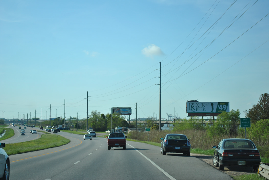
| Rock Creek Parkway provides the only access point to the Rock Creek and Sandy Ford golf-course community east of U.S. 98 in north Fairhope. 06/09/06 |
|
| Johnson Road ties U.S. 98 and adjacent County Road 98 (Main Street) together in south Daphne. 06/09/06 |
|
| CR 64 is the lone east-west county road signed in Daphne. The route follows Daphne Avenue from Main Street east to Belforest. 06/09/06 |
|
| CR 64 provides the main route between Downtown Daphne and Downtown Loxley. The county road extends east to Interstate 10 at Exit 53 and CR 112 near Gateswood. 06/09/06 |
|
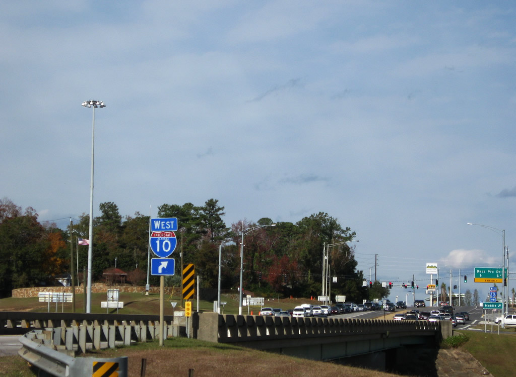
| U.S. 98 curves westerly from Daphne Avenue and gains additional commercial frontage to Interstate 10. 06/09/06 |
|
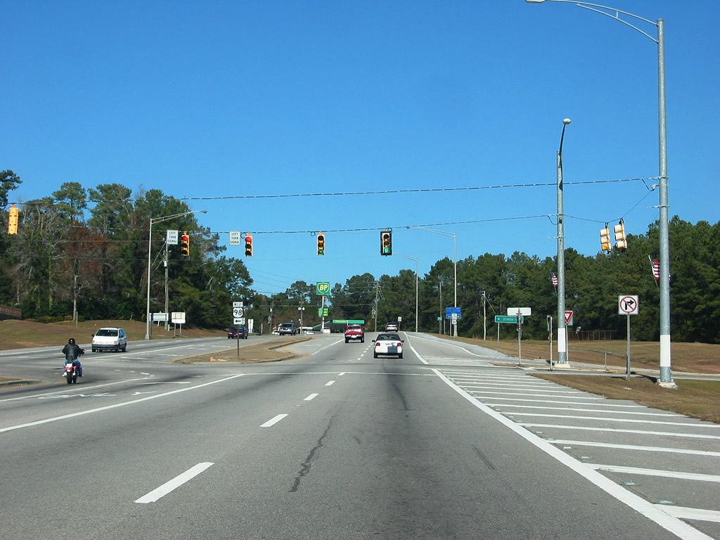
| Whispering Pines Road crosses U.S. 98 at a signalized intersection from Main Street east to County Road 13 at Pleasant Road. 06/09/06 |
|
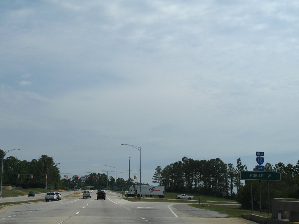
| County Road 98 concludes at the Main Street intersection with U.S. 98. Main Street shifts to the east side of U.S. 98 and parallels the arterial north to U.S. 90. 06/09/06 |
|
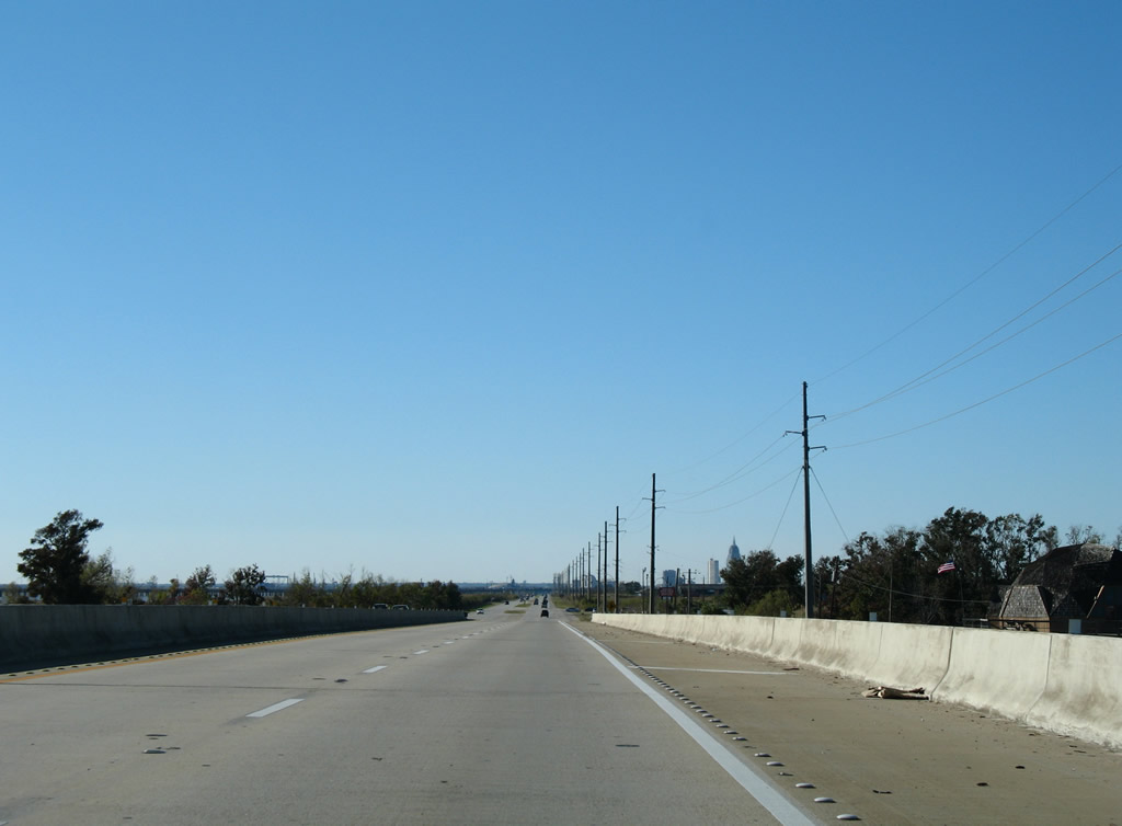
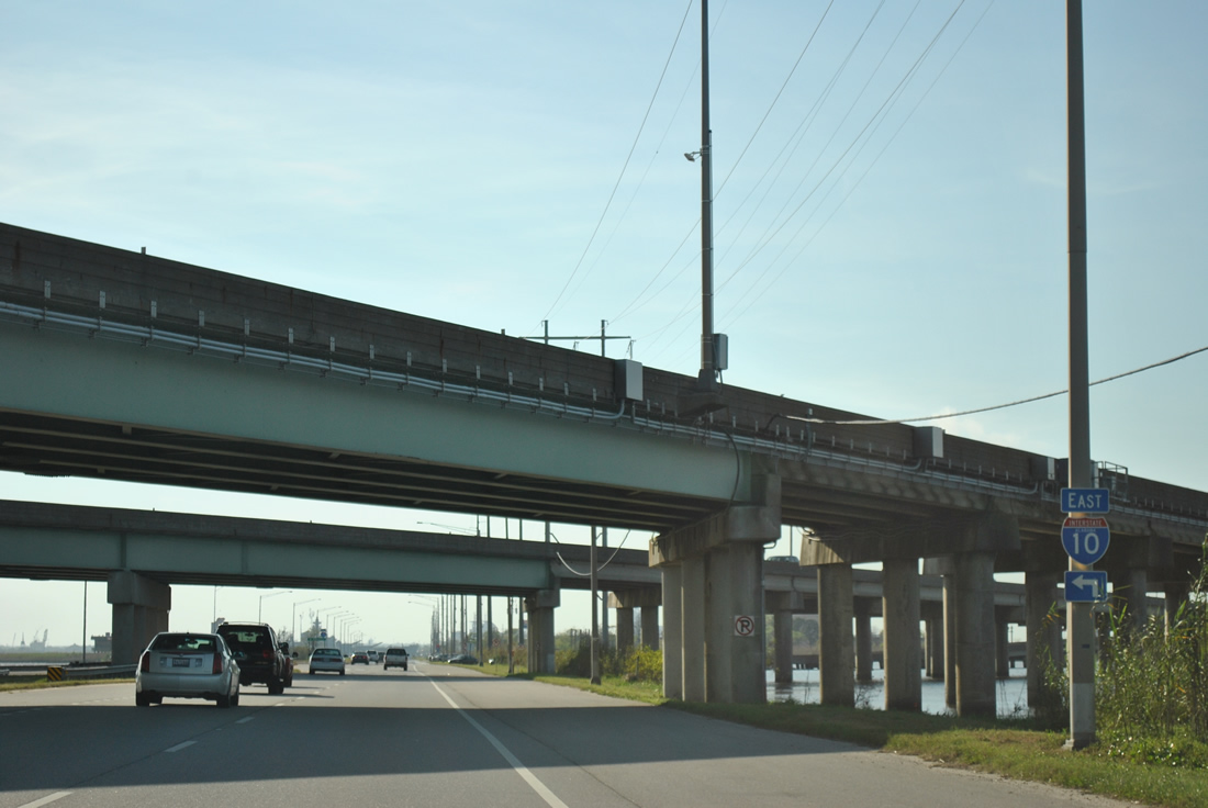
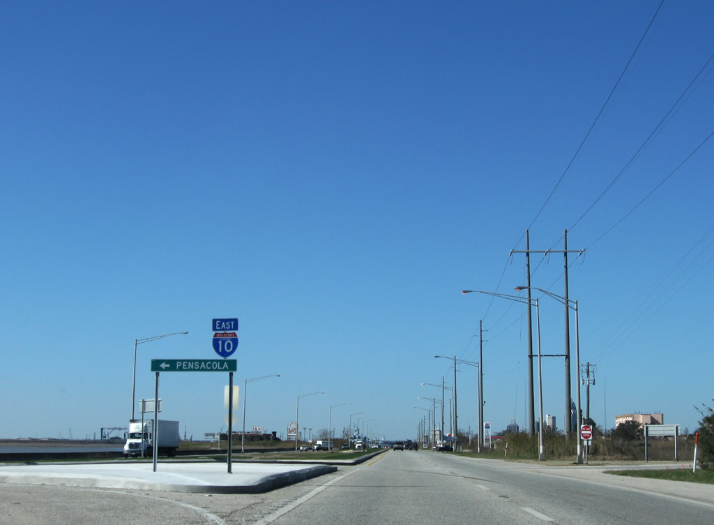
| A loop ramp joins U.S. 90/98 (Old Spanish Trail) west with I-10 across the Mobile Bayway to Mobile. 11/30/08 |
|
| The Mobile Bayway bridge system extends 7.5 miles across northern reaches of Mobile Bay to the George Wallace Tunnel ahead of Downtown Mobile. 06/07/06 |
|
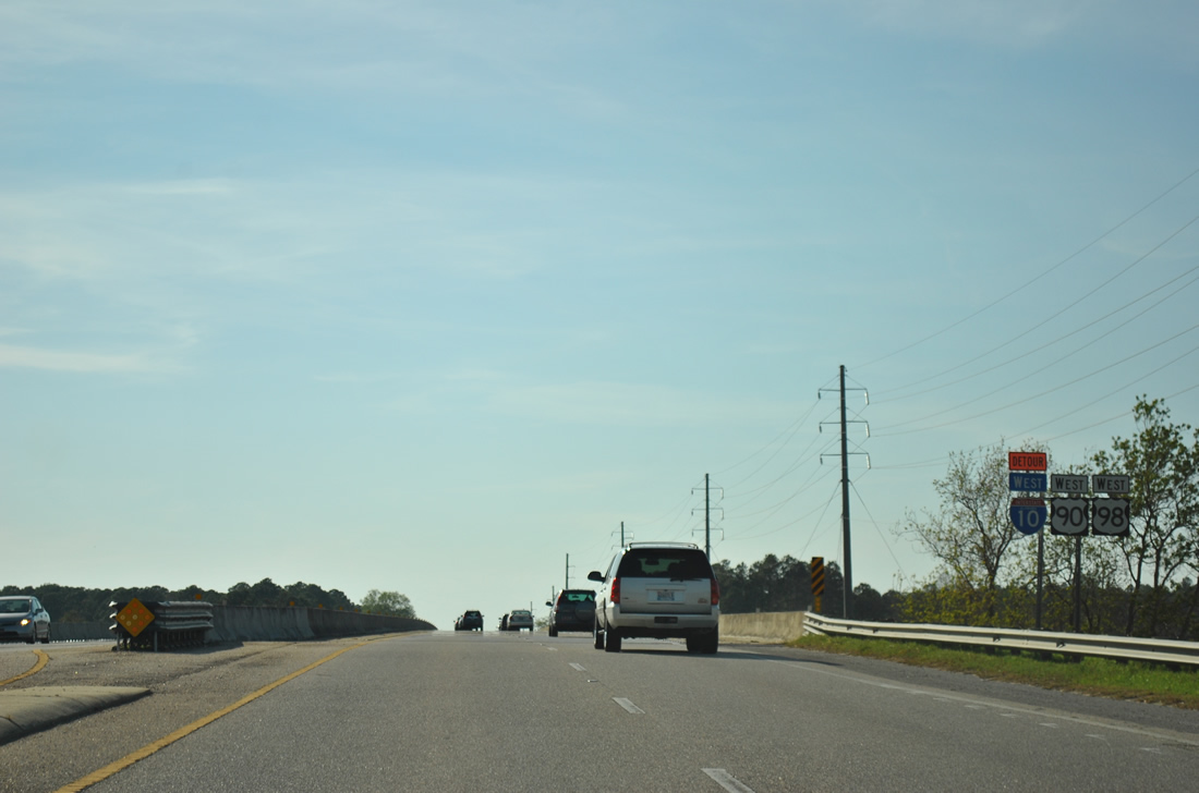
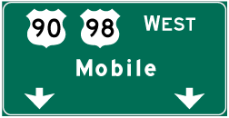
| U.S. 90 and U.S. 98 partition on the north side of I-10. U.S. 98 turns westward along Battleship Parkway for 0.763 miles while U.S. 90 (Old Spanish Trail) continues north 0.744 miles to U.S. 31. 12/20/03 |
|
| U.S. 98 branches northwest along an expressway adjacent to the North Fork of D'Olive Creek into the city of Spanish Fork. 09/12/10 |
|
| U.S. 98 (Battleship Parkway) combines with U.S. 90 (Spanish Fort Boulevard) again at a wye interchange next to the Shellbank River. 09/12/10 |
|
| U.S. 90/98 combine ahead of the Blakeley River on Battleship Parkway west. 03/18/12 |
|
| Meaher State Park lies along the south side of Battleship Parkway between the Blakeley and Apalachee Rivers opposite Five Rivers Boulevard. 11/22/06 |
|
| Spanning the Apalachee River across a 1978-built bridge on U.S. 90/98 (Battleship Parkway) west. 11/22/06 |
|
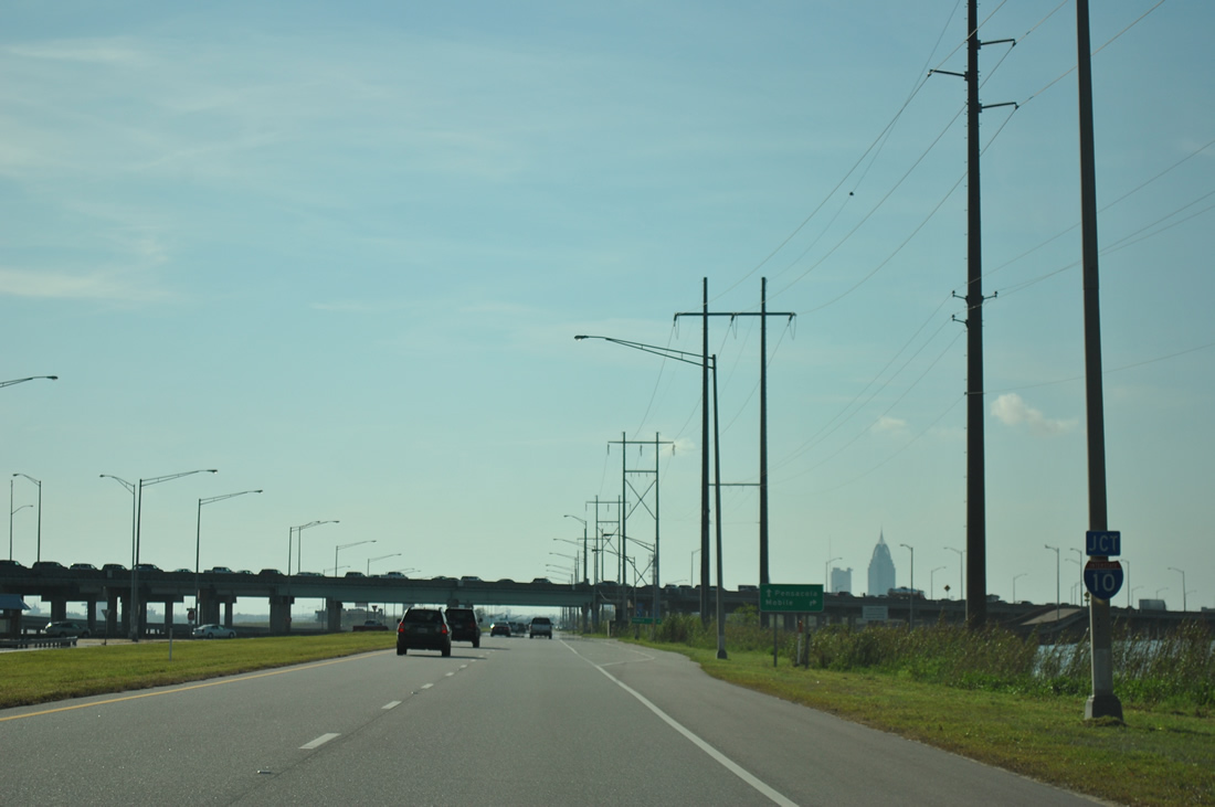
| Still within the city limits of Spanish Fort, Battleship Causeway progresses west between Chacaloochee and Mobile Bays to a diamond interchange (Exit 30) with Interstate 10. 03/18/12 |
|
| The exchange with I-10 lies 3.8 miles west of the U.S. 90/98 merge at Spanish Fort. The Mobile Bayway shifts sides with Battleship Parkway, staying north of the causeway to their next meeting. 09/12/10 |
|
| The entrance ramp for I-10 east serves commuter traffic from U.S. 90 and the Cochrane-Africatown Bridge. Areas along both sides of the causeway by I-10 are popular fishing spots for locals. 03/18/12 |
|
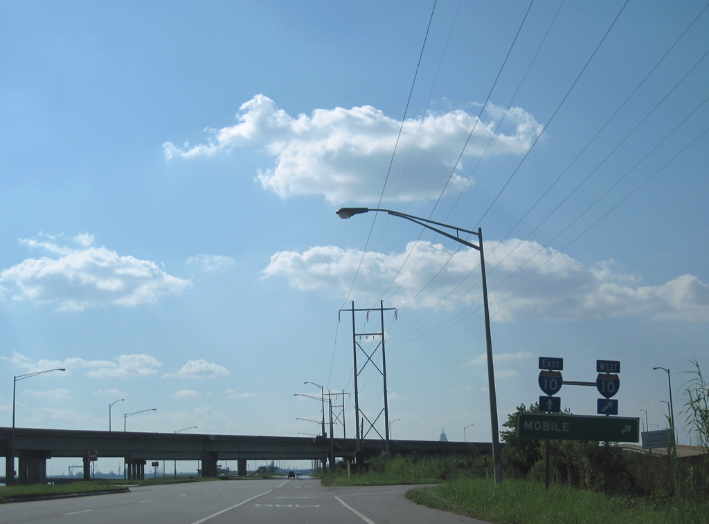
| Westbound U.S. 90/98 at the return ramp to Interstate 10 east to Daphne and Spanish Fort. 01/16/09 |
|
| Several seafood restaurants, fish camps and two boat ramps line Battleship Parkway between I-10 and the Tensaw River. 01/16/09 |
|
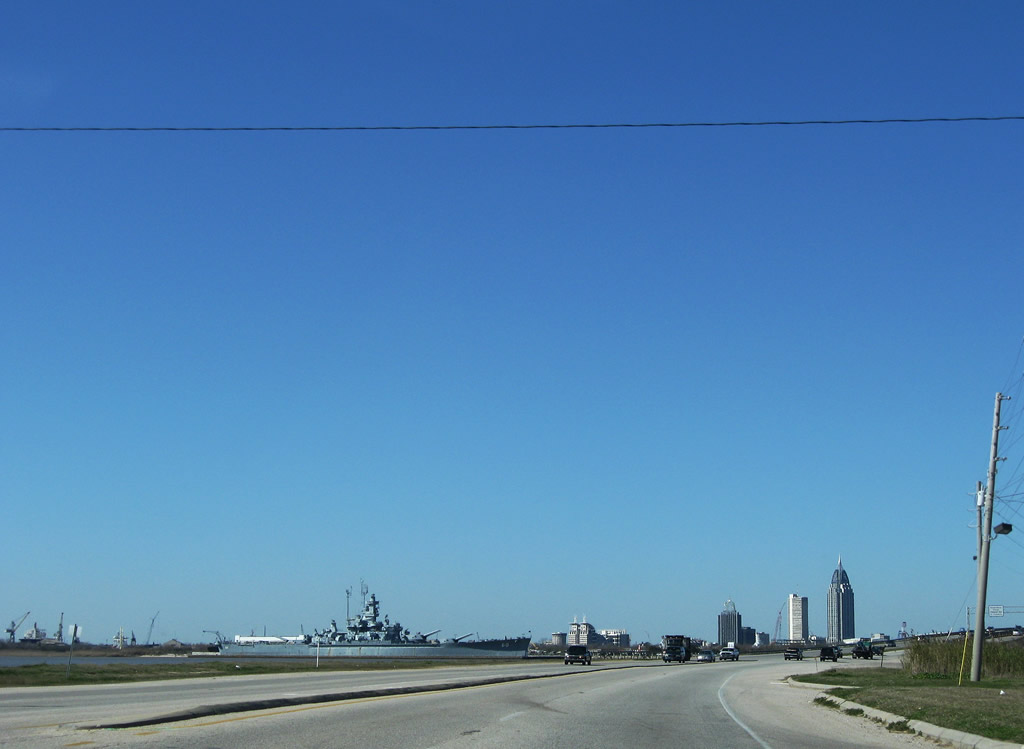
| Battleship Parkway is named after the USS Alabama, which is moored at Battleship Memorial Park on the south end of Blakeley Island. 01/16/09 |
|
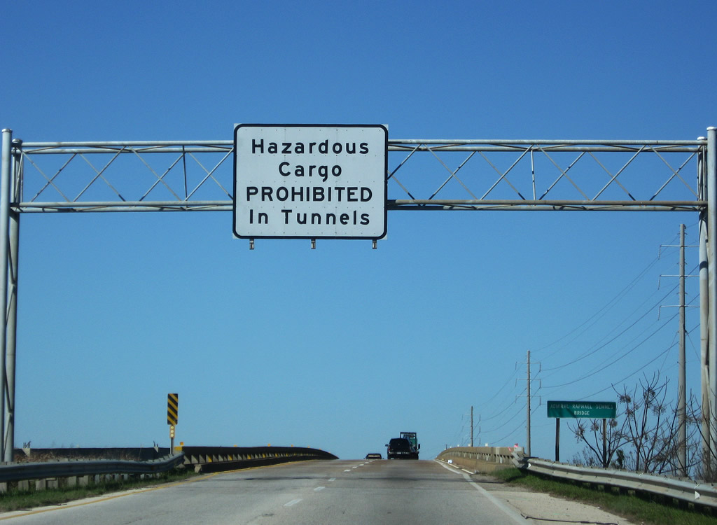
| U.S. 90/98 (Battleship Parkway) cross the Tensaw River on the Admiral Raphael Semmes Bridge. The westbound span opened in 1965; the eastbound replacement was completed in 1998. A warning sign here advises truckers of the hazmat restrictions for the upcoming George Wallace and Bankhead Tunnels. 01/16/09 |
|
| The Mobile County line straddles the mid point of the Tensaw River. The county line turns northwest along the Spanish River at Delvam Bay north of Interstate 10. 03/18/12 |
Page Updated 09-08-2011.


 west
west