U.S. 163 begins at U.S. 160 in Kayenta, and travels northeast to the Utah state line. The highway is a relatively short 18 miles, all lying within the Navajo Indian Nation.
Beginning in Kayenta, the road turns northeast to reach Monument Valley Tribal Park and Gouldings, as well as the state of Utah. The road is a designated scenic highway, and the scenes along this road are instantly recognizable.
U.S. 163 was signed as Arizona 464 between 1962 and 1971, before being converted to the U.S. highway system. Plans were in place to add this to the U.S. Highway system as far back as 1955, however.
|
| This is the first reassurance marker along U.S.
Highway 163. 10/26/08 |
|
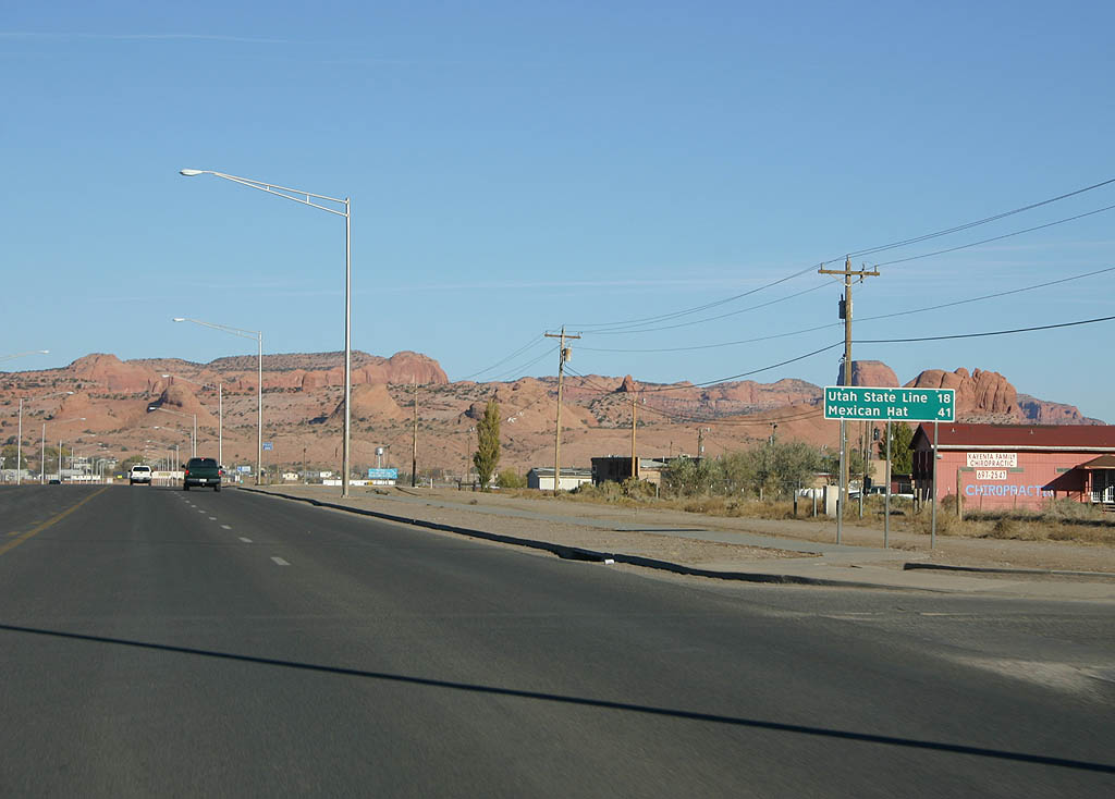
| Distance sign to the Utah state line (18 miles)
and Mexican Hat (41 miles). 10/26/08 |
|
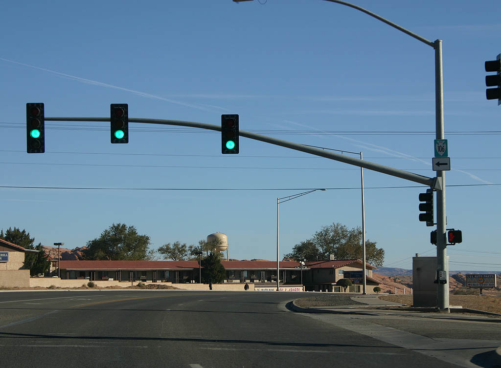
| U.S. Highway 191 meets Indian Route 106 here.
The road travels further into Kayenta. 10/26/08 |
|
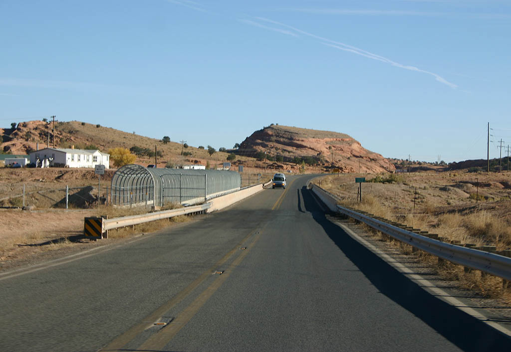
| U.S. Highway 163 crosses Laguna Creek here. 10/26/08 |
|
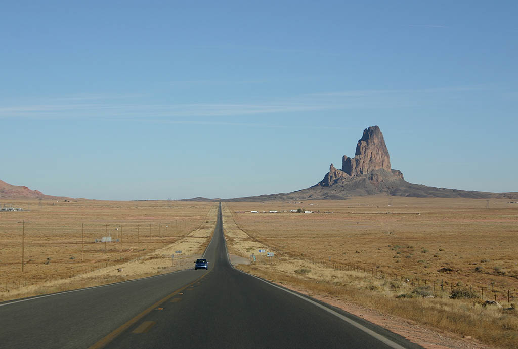
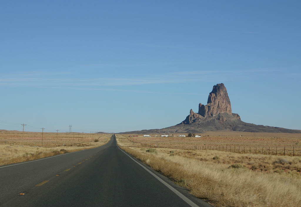
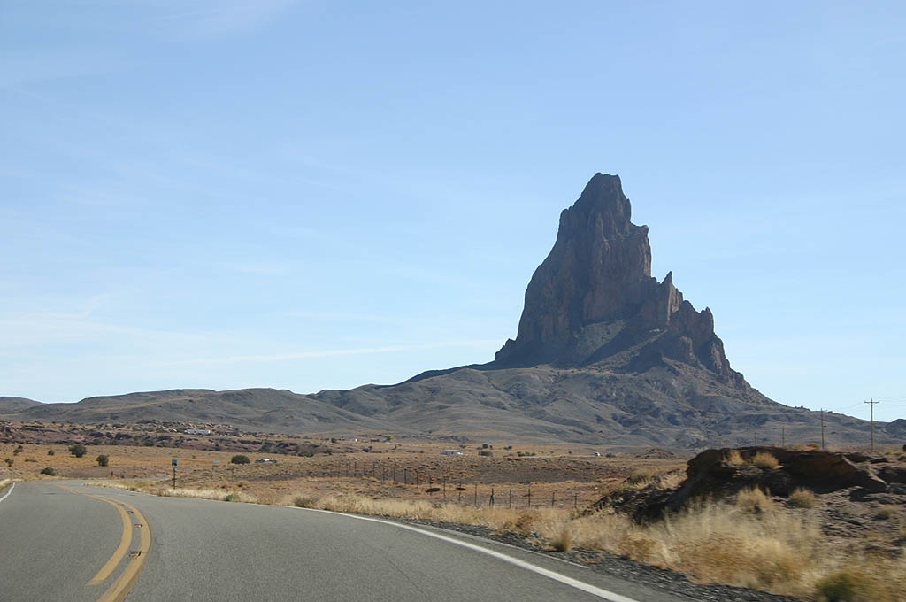
| Agathla Peak (El Capitan) looms over the road
and the valley as the first symbol of Monument Valley. 10/26/08 |
|
| Agathla Peak is named for the Navajo word "Aghaa'la", which means "Much wool" for the piles of wool that were at its base. This is the site where animal hides were scraped in past years, leaving piles of wool. 10/26/08 |
|
| U.S. 163 now follows El Capitan wash along the
base of Agathla Peak. 10/26/08 |
|
| U.S. 163 follows El Capitan Wash below the base
of Tyende Mesa. 10/26/08 |
|
| Boot Mesa is seen in the background of this photo along U.S. Highway 163. 10/26/08 |
|
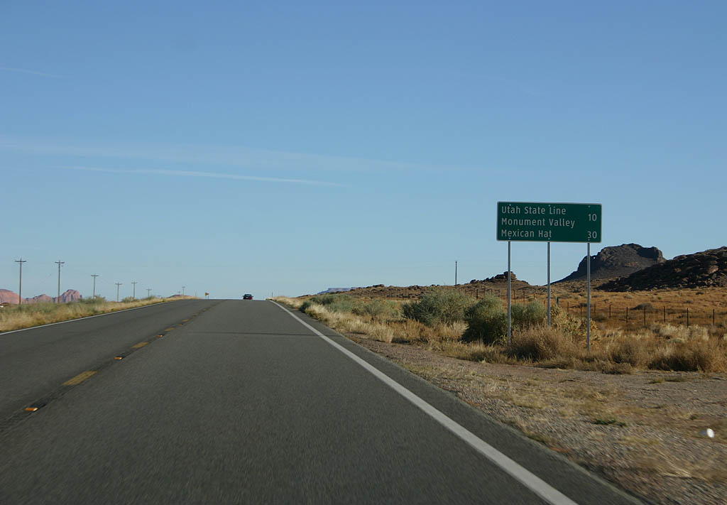
| Distance sign to the Utah State Line (10 miles)
and Mexican Hat (30 miles). 10/26/08 |
|
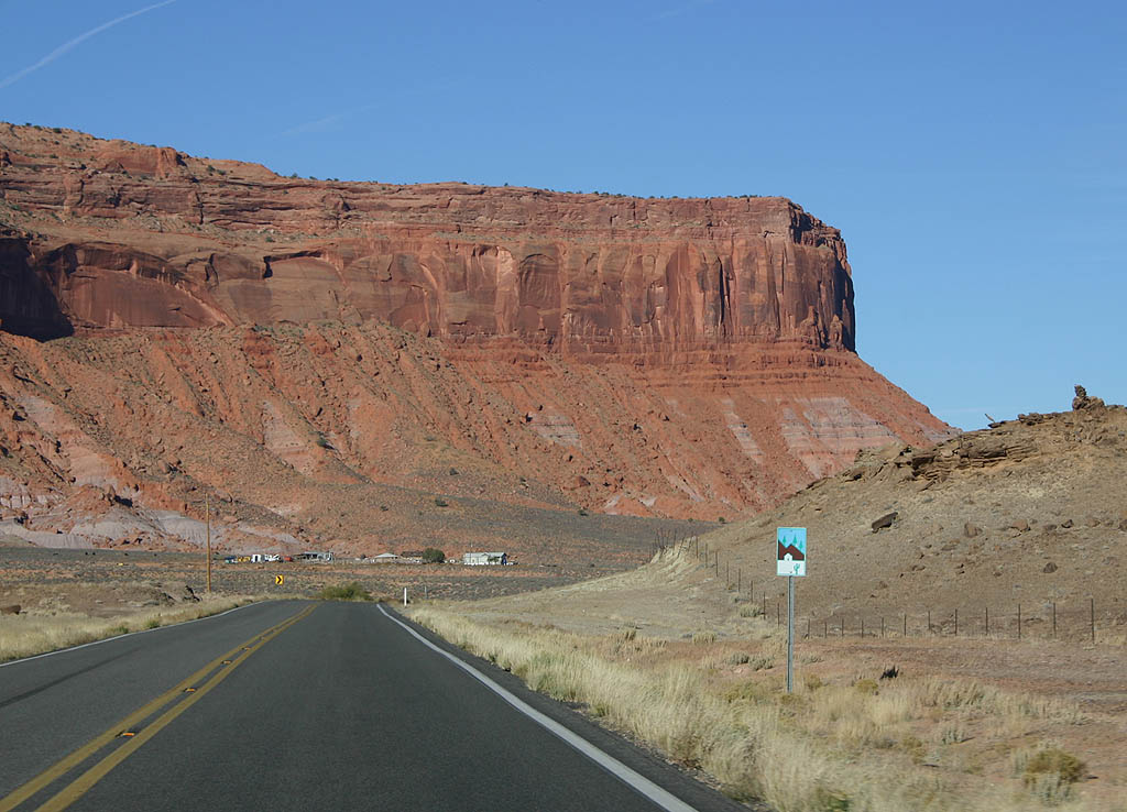
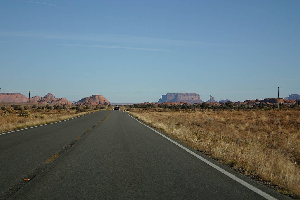
| Monument Valley can be seen in the distance in this photo. The round butte next to the road is unnamed. 10/26/08 |
|
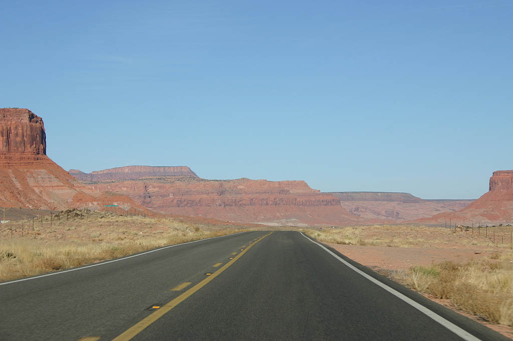
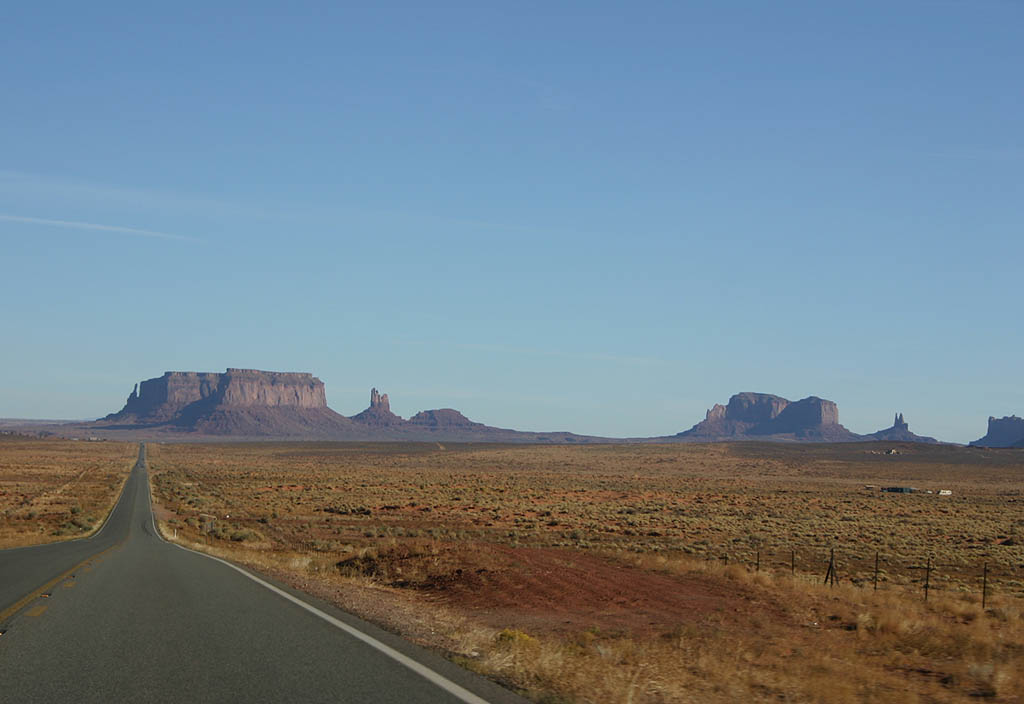
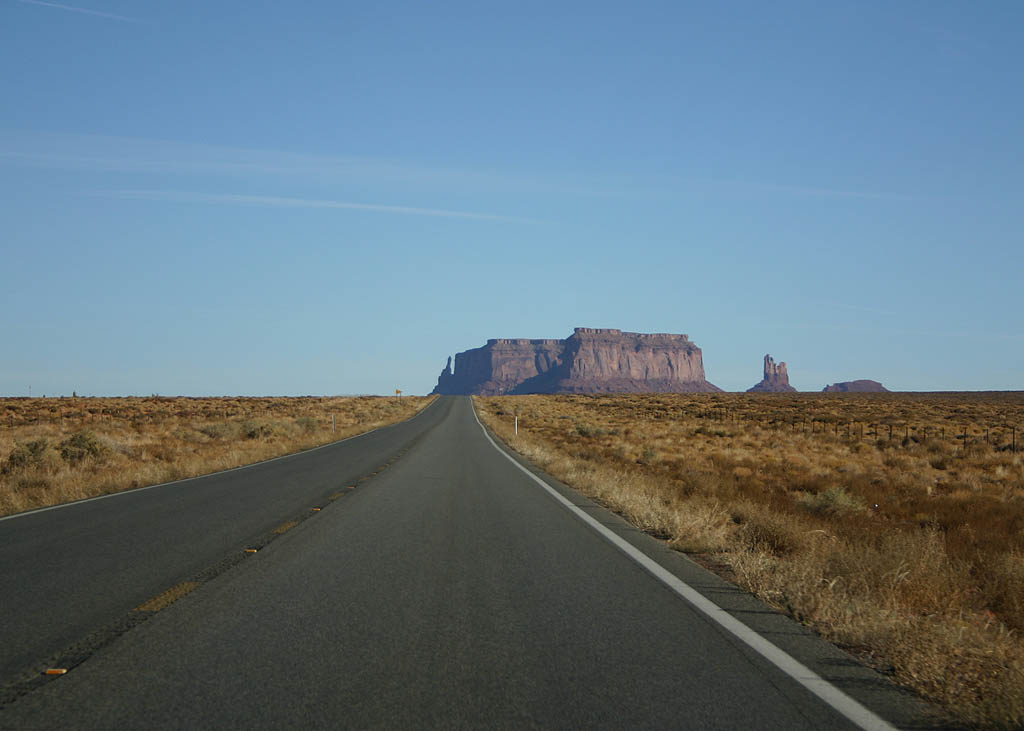
| The buttes of Monument Valley can be seen from the highway. 10/26/08 |
|
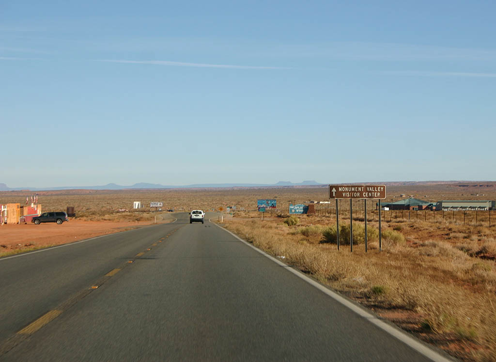
| Continue ahead to the Monument Valley visitors
center. 10/26/08 |
|
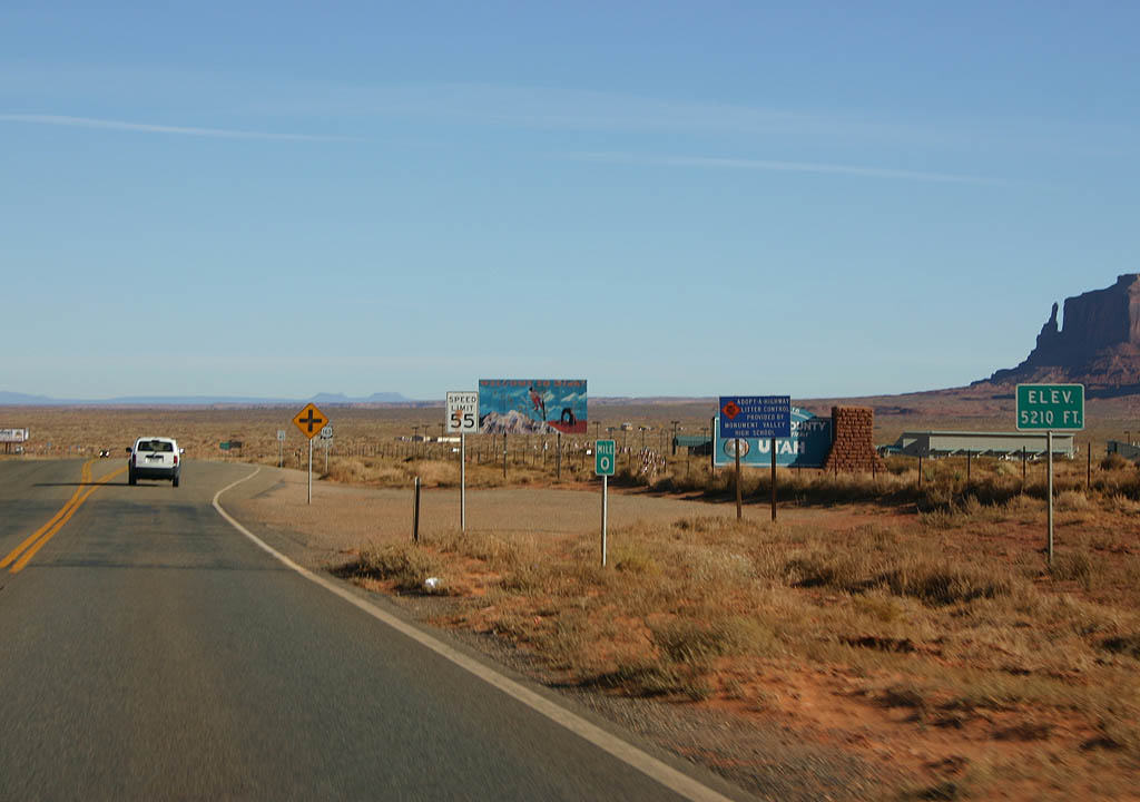
| U.S. Highway 163 leaves Arizona here and enters
Utah. The turnoff to Monument Valley Tribal Park
is just ahead on the right, with the park itself
inside Arizona. 10/26/08 |
|
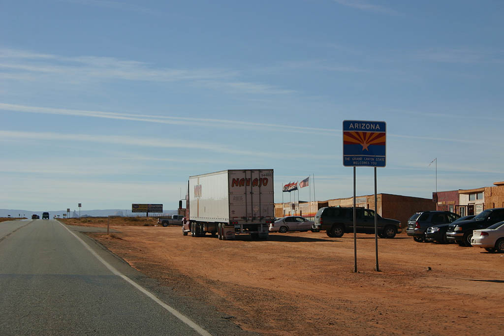
| Welcome to Arizona! 10/26/08 |
|
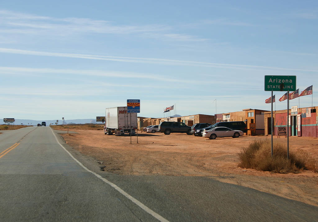
| Arizona is now marking the state lines with both
the green state line ign (as seen ahead) and the
large state flag sign (as seen here). This is the
smaller version, seen on non-Interstate highways.
Notice the roadside vendors off to the right - a
common sight in the Navajo Nation. 10/26/08 |
|
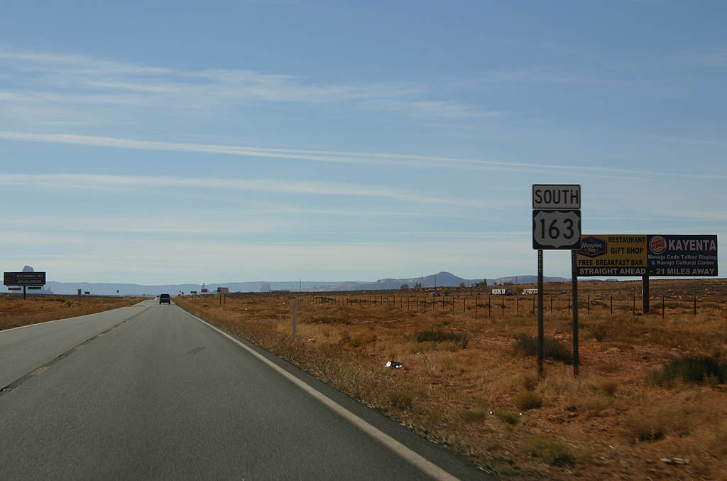
| This is the first reassurance marker for U.S.
163 southbound in Arizona. 10/26/08 |
|
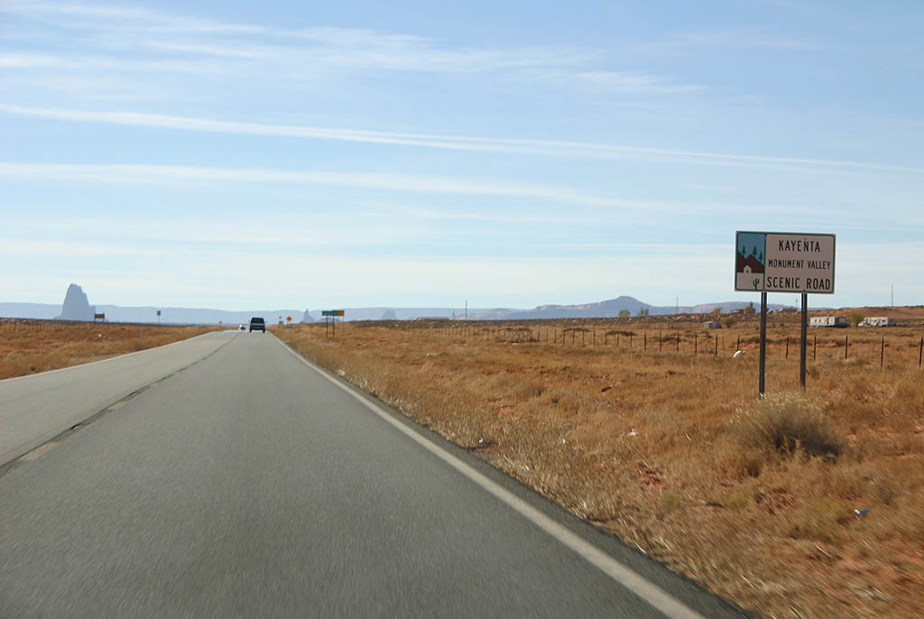
| U.S. Highway 163 is the Monument Valley - Kayenta
Scenic Road. 10/26/08 |
|
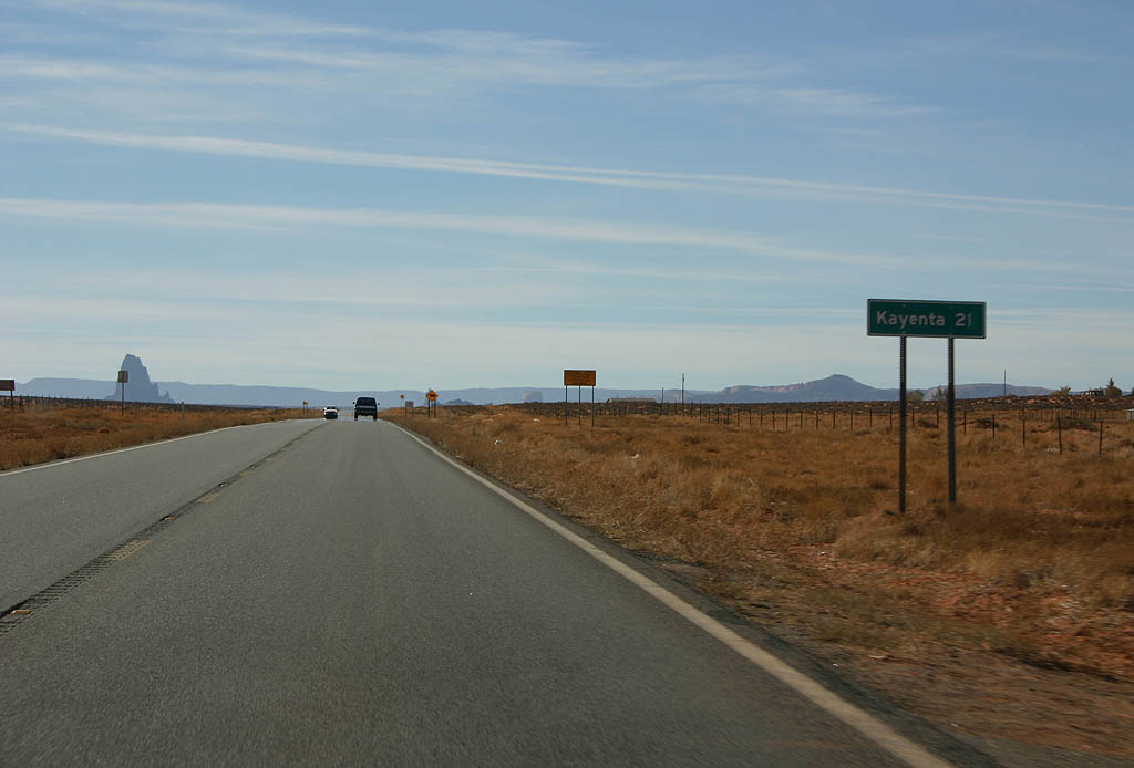
| Distance sign to Kayenta (21 miles). 10/26/08 |
|
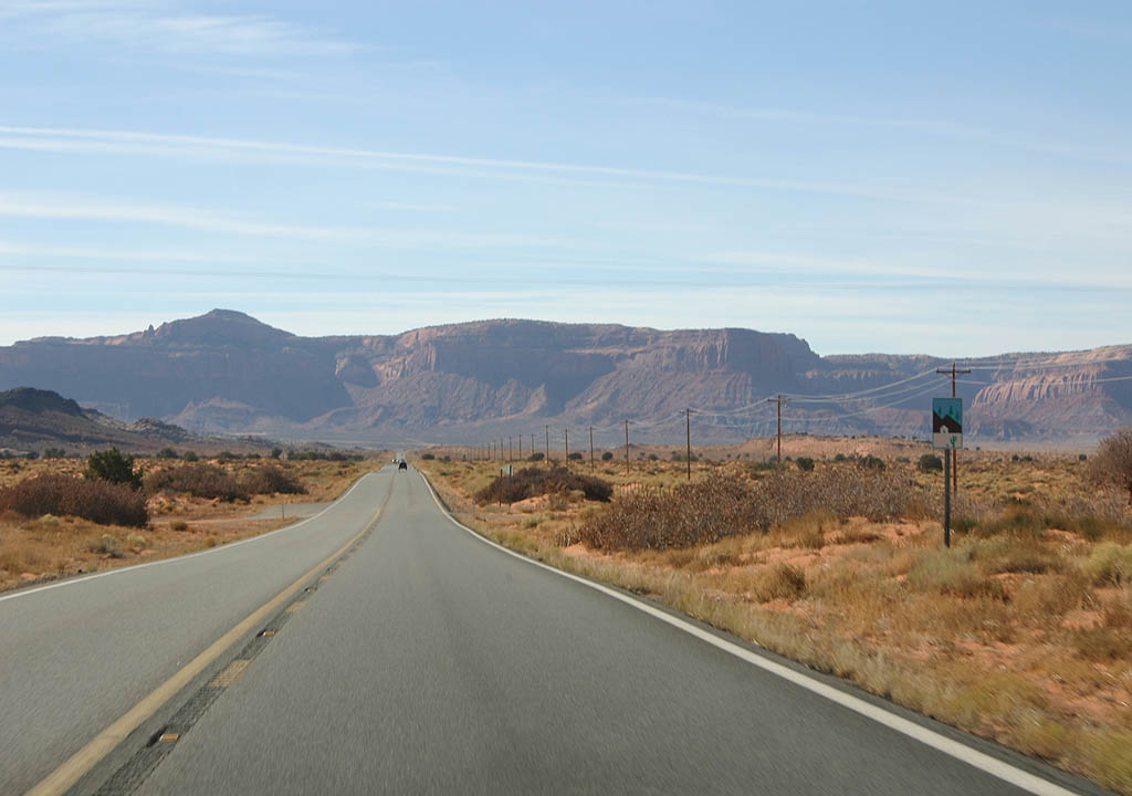
| Tyende Mesa can be seen in the background of this photo. 10/26/08 |
|
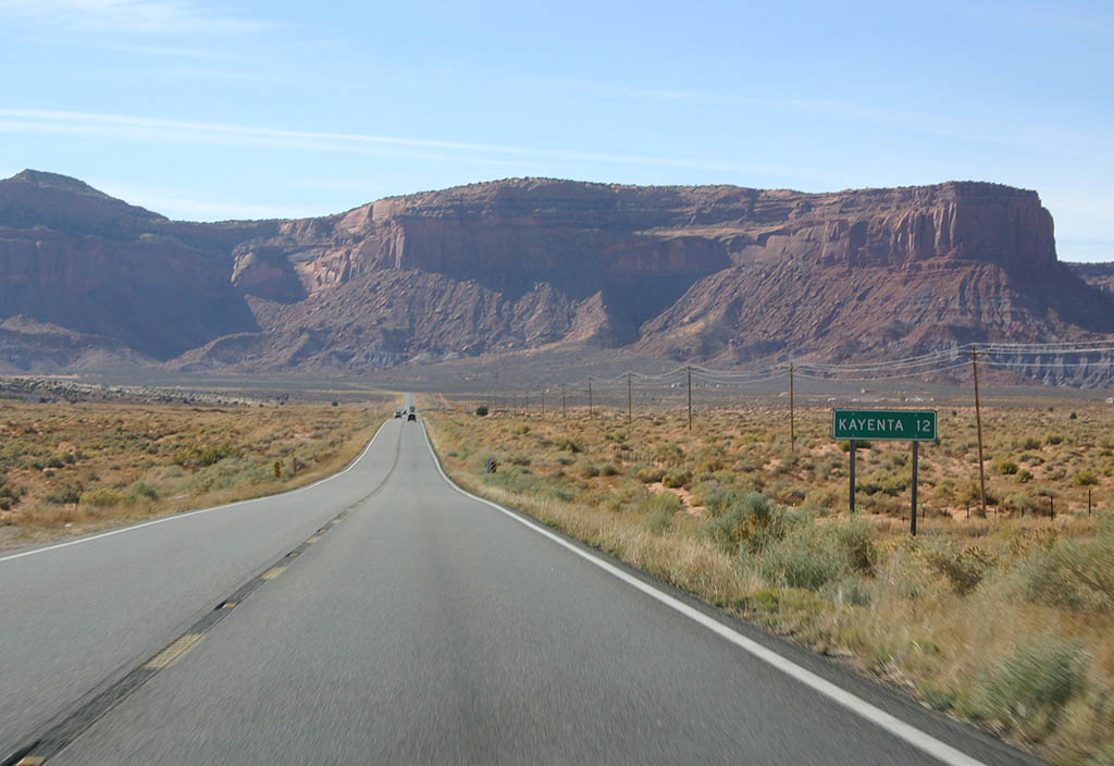
| Distance sign to Kayenta (12 miles). U.S. Highway
163 now follows El Capitan Wash. 10/26/08 |
|
| Agathla Peak can be seen in this photo. 10/26/08 |
|
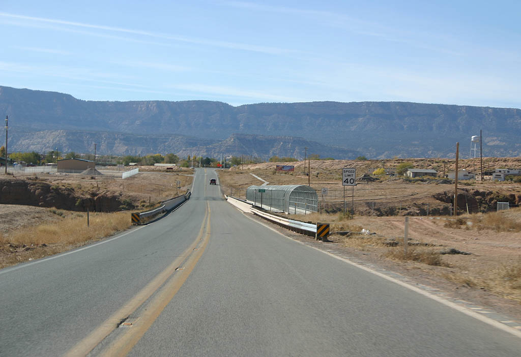
| U.S. Highway 163 now enters Kayenta and crosses
Laguna Creek. 10/26/08 |
|
| Kayenta is the site of a trading post established
by John Wetherill in 1909. The name is thought to
be derived from Tyende, which means "at the
pits where the animals fall in". 10/26/08 |
|
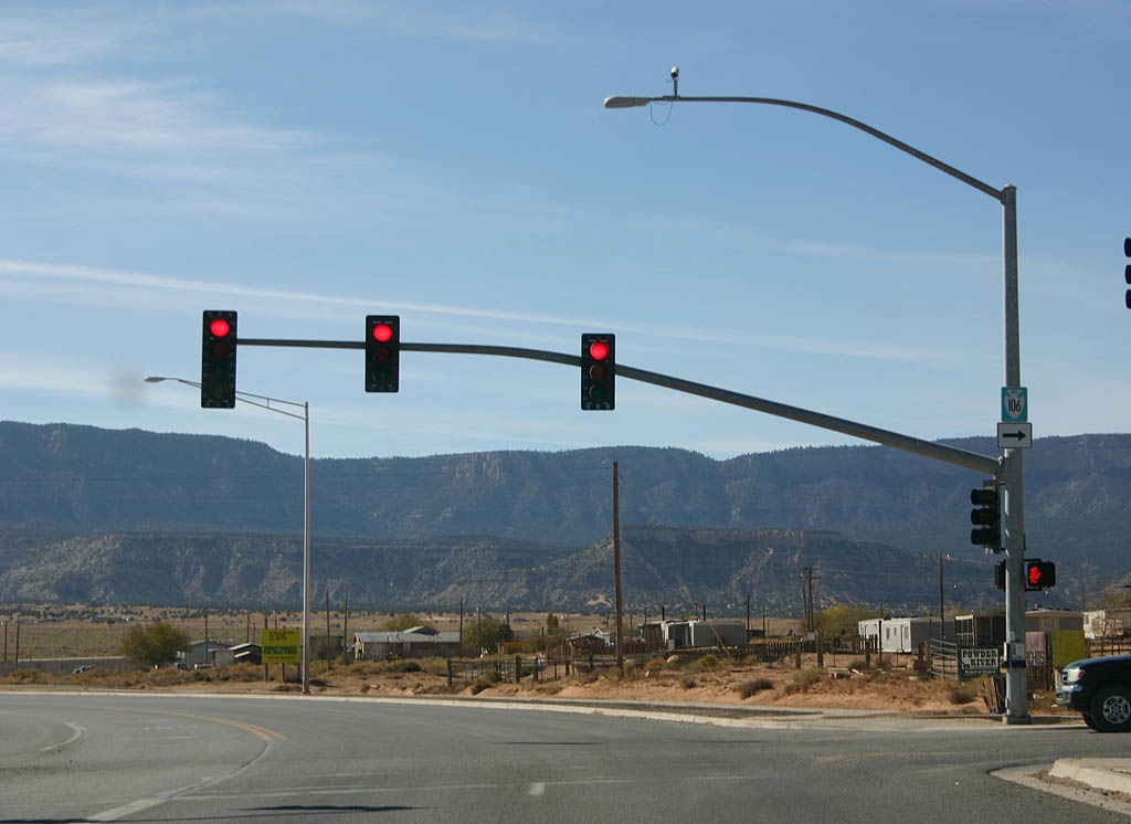
| U.S. Highway 163 meets Indian Route 106 here. 10/26/08 |
|
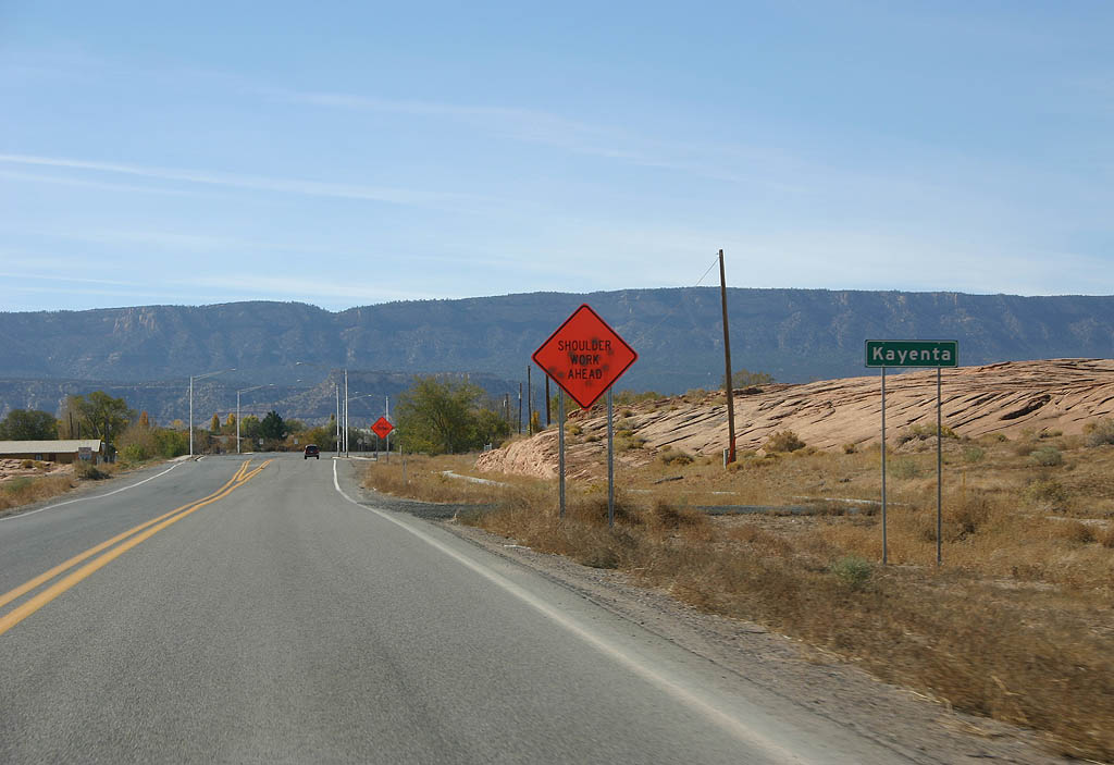
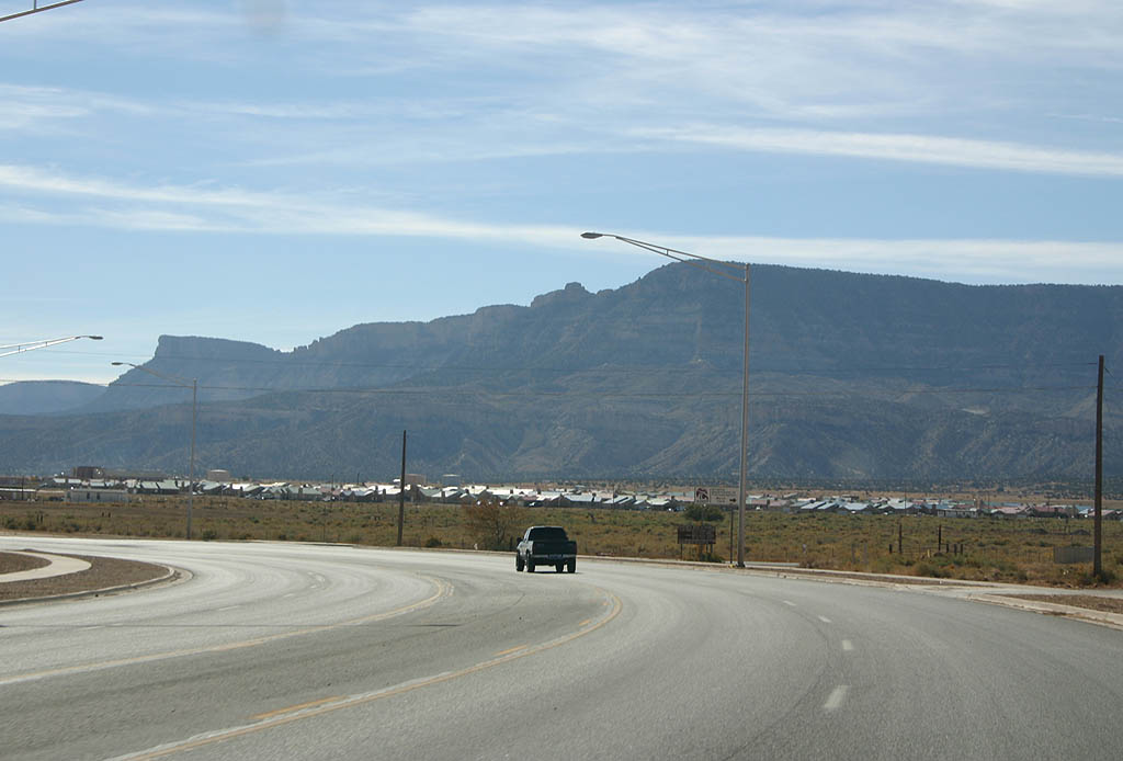
| The town of Kayenta can be seen against the mountain,
off the highway. 10/26/08 |
|
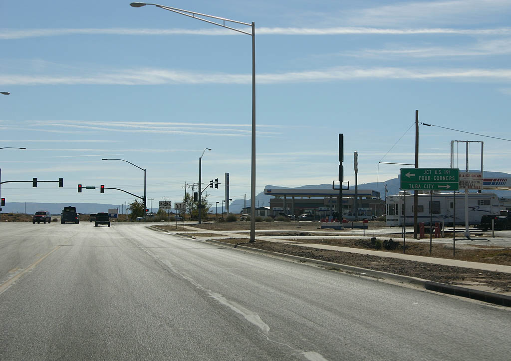
| Turn left for U.S. 191 and Four Corners, and turn
right for Tuba City ahead at U.S. 160. 10/26/08 |
|
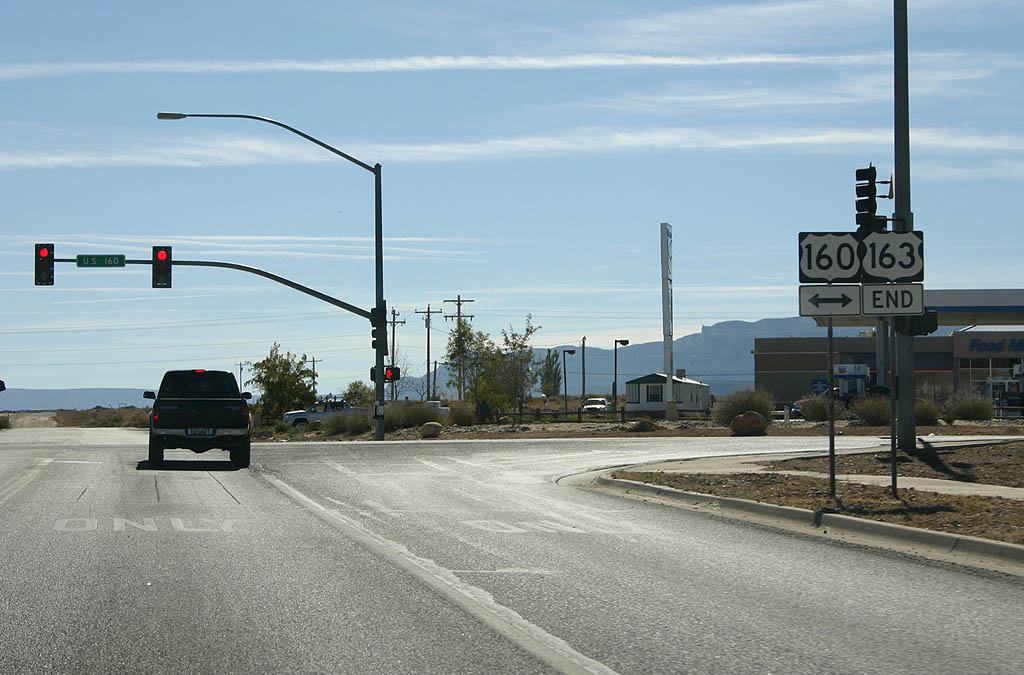
| U.S. Highway 163 ends its trek at U.S. 160 in
the town of Kayenta. Turn left to reach U.S. 191
and Four Corners, or turn right to head toward U.S.
89 at Cameron, and Flagstaff. 10/26/08 |
Page Updated 01-12-2009.

 North
North