
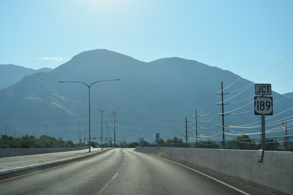
U.S. 189 begins at a trumpet interchange with Interstate 15 in south Provo. The route follows University Avenue due north through the city center en route to Brigham Young University. Continuing along a five lane boulevard, U.S. 189 parallels the Provo River north to Olmstead and the climb across the Wasatch Range. Turning more easterly through Provo Canyon, U.S. 189 transitions into a four lane, divided highway to Deer Creek Dam. This stretch includes a short tunnel by Mount Timpanogos ahead of Utah State Route 92 and Wildwood.
Winding around the eastern periphery of Deer Creek Reservoir, U.S. 189 narrows to two lanes to SR 113 and Charleston. There the US route emerges at Heber Valley, a flat agricultural area spreading northeast to Heber City. U.S. 189 bee lines northeast along a five lane boulevard and converges with U.S. 40 at milepost 28.890.
An implied overlap takes U.S. 189 north alongside U.S. 40 from Heber City to Silver Creek Junction. The concurrency is solely acknowledged as U.S. 40 both in signing and in highway reference files. The shared alignment ends with U.S. 40, 46.835 miles north of I-15 in south Provo. The unmarked route for U.S. 189 follows Interstate 80 east to the Wyoming state line for a total accumulated mileage of 96.639 in Utah.
U.S. 189 Utah Guides
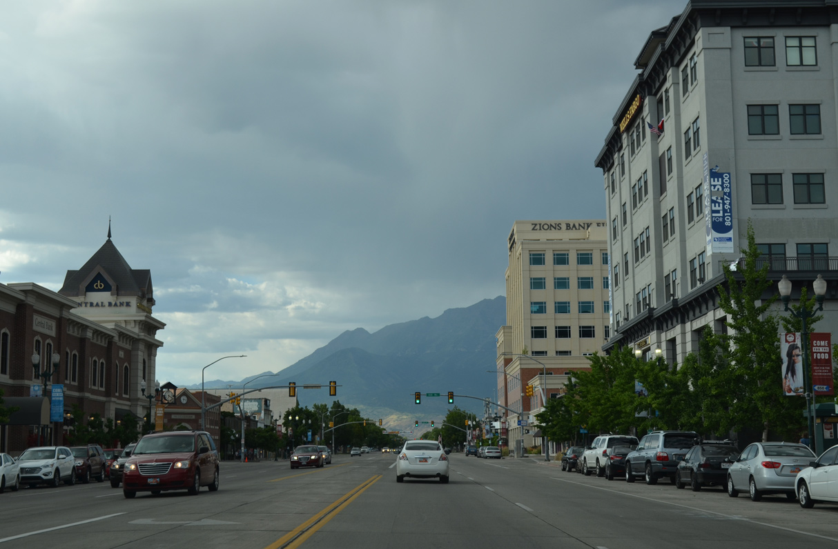
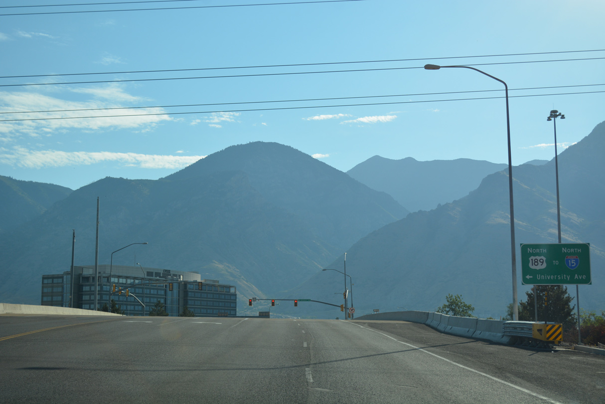
U.S. 189 (University Avenue) north of Center Street in Downtown Provo, Utah. 07/04/16
U.S. 189 was previously relocated from an L-shaped alignment east from U.S. 40 at Hailstone to Francis and north to Oakley and Interstate 80 at Wanship per Legislature Commission Action on November 3, 1989. This route was historically U.S. 189 Alternate per Utah Official Highway Maps.
The new alignment took U.S. 189 east along SR 248 from the Park City Interchange with U.S. 40 to Kamas and SR 32 (the new route number for former U.S. 189 south to Francis). This changed again by Commission Action on October 5, 1990, which shifted U.S. 189 onto the remainder of U.S. 40 north to Interstate 80, and on I-80 east to Wanship and the older overlap east into Wyoming. The American Association of State Highway and Transportation Officials (AASHTO) approved the relocation on December 7, 1990. The original intersection where U.S. 40/189 split at Hailstone is now at the bottom of Jordanelle Reservoir. The US highways were relocated to the west onto a freeway bypassing the new lake in 1990.
 scenes scenes |
 | Passing north of wetland areas associated with Provo Bay, Lakeview Parkway is an arterial built east from Mike Jense Parkway at Provo Airport (PVU) to U.S. 189 at I-15. 07/16/17 |
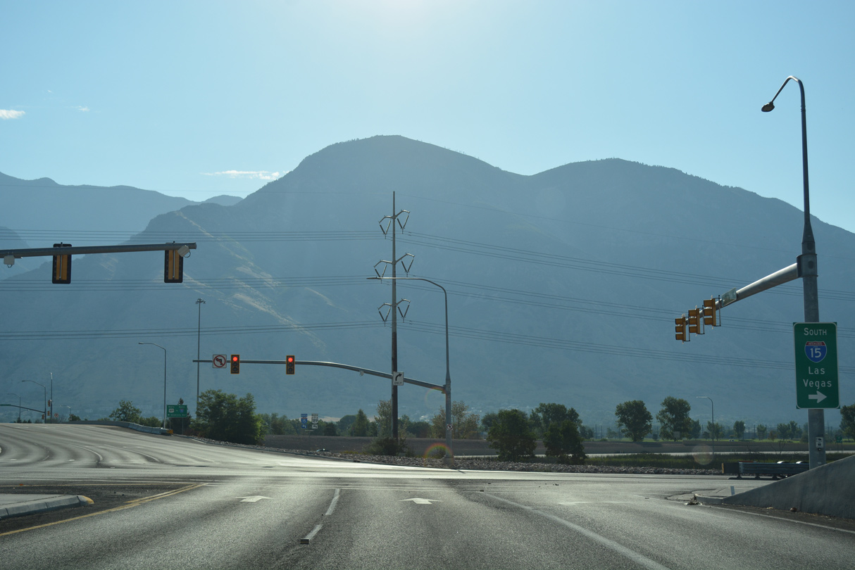
   | Lakeview Parkway ties into the trumpet interchange joining the south end of U.S. 189 with Interstate 15 in Provo. 07/16/17 |
 | Lakeview Parkway east the entrance ramp linking U.S. 189 and 1860 South with Interstate 15 to Las Vegas, Nevada. 07/16/17 |
 | Spanning I-15, Lakeview Parkway continues east onto 1860 South at the northbound beginning of U.S. 189 (University Avenu). 07/16/17 |
 | U.S. 189 (University Avenue) heads north to Downtown Provo. Lakeview Parkway / 1860 South continues 1.56 miles east to U.S. 89 (State Street). 07/16/17 |
 | Lakeview Parkway / 1860 South west at the south end of U.S. 189 and entrance ramp for I-15 south. The parkway west to PVU Airport opened on October 13, 2016. 07/04/16 |
 | Lakeview Parkway intersects 500 West beyond U.S. 189 and I-15. The four lane arterial runs 3.40 miles west from U.S. 189 to Mike Jense Parkway at PVU Airport. 07/16/17 |
Photo Credits:
07/04/16, 07/16/17 by AARoads
Connect with:
Interstate 15
Interstate 80
U.S. 40
U.S. 89
Page Updated 02-16-2022.