
U.S. 385 is a very long route, traveling across the Great Plains between Big Bend National Park in West Texas and Lead, South Dakota. A major addition to the U.S. Highway System, U.S. 385 was designated all at once in 1959. Within the Centennial State, U.S. 385 runs 317.63 miles overall.
U.S. 385 Colorado Guides
- South - Burlington to Sheridan Lake
- South - Sheridan Lake to Lamar
- U.S. 287/385 South - Lamar to Oklahoma
U.S. 385 enters Colorado alongside U.S. 287 in Comanche National Grassland. Overlapping 77.64 miles north through Campo and Springfield, U.S. 287/385 divide at Lamar, with U.S. 385 traveling east alongside U.S. 50 to U.S. 400 at the town of Granada and U.S. 50 joining U.S. 287 north across the Arkansas River.
Continuing north from U.S. 50/400 in Prowers County, U.S. 385 combines with U.S. 40 briefly through Cheyenne Wells en route to Burlington. Within the seat of Kit Carson County, U.S. 385 overlaps with Business Loop I-70 along Lincoln Street and U.S. 24 on Rose Avenue south of the city center. U.S. 385 historically circumvented the business district to the north along Lincoln Street and Railroad Avenue to 8th Street.
Beyond Burlington, U.S. 385 bee lines north to U.S. 36 near the unincorporated town of Idalia in Yuma County. U.S. 36 dog legs north alongside U.S. 385 for 2.59 miles. U.S. 385 continues from U.S. 36 between Wildcat Canyon and Jacks Gulch across the Arikaree River valley to U.S. 34 at Wray.
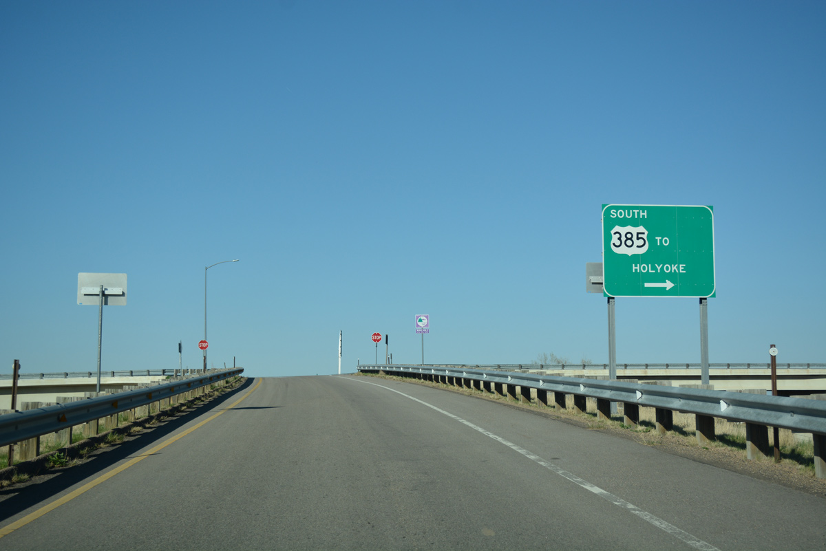
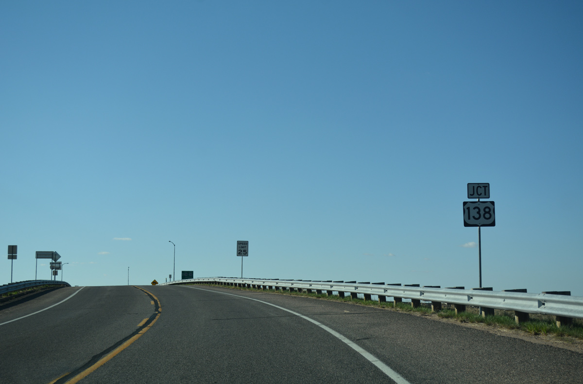
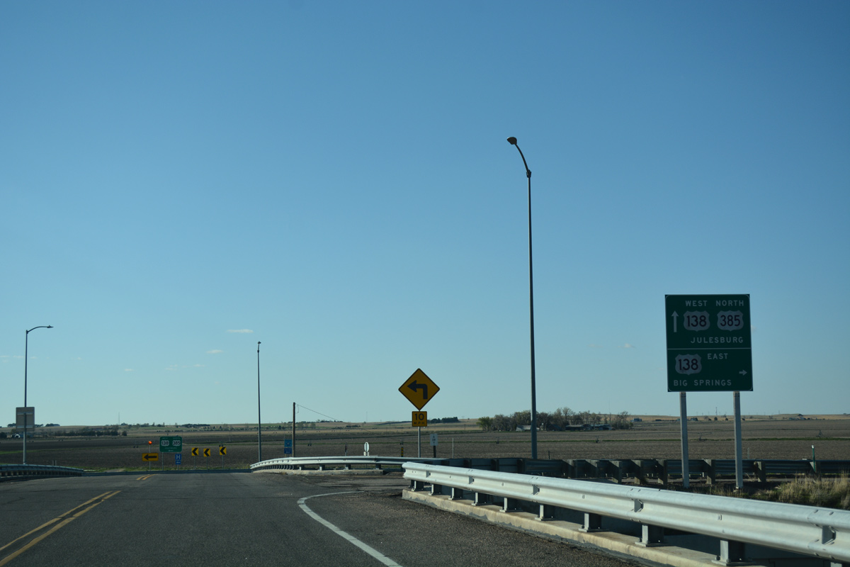
U.S. 385 continues from Yuma County to the Phillips County seat of Holyoke, where it meets U.S. 6. U.S. 385 advances north from there to Interstate 76 and the town of Julesburg, where it overlaps with U.S. 138 for 2.85 miles. The northernmost section (Route 385E) branches 3.98 miles west from U.S. 138 to the Nebraska state line just south of Chappell.
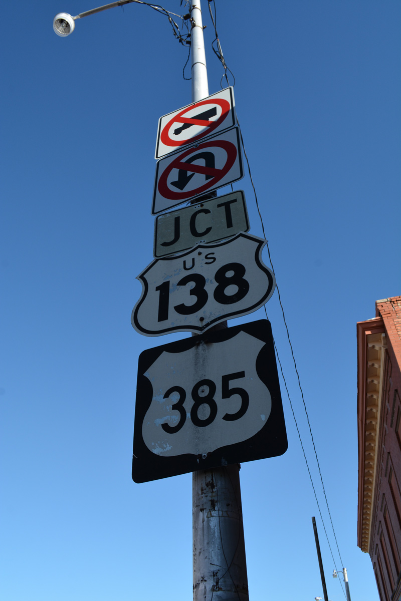
The shields for U.S. 138/385 along Cedar Street allude to former SH 51. SH 51 took a stair stepped route through Julesburg, navigating east from SH 11 on 9th Street, to Chestnut Street south, 5th Street east and Cedar Street. U.S. 385 replaced SH 51 leading southeast from town. 04/22/17
 East East  South South |
 | U.S. 138/385 east follow 1st Street by Downtown Julesburg. These trailblazers stand beyond Cedar Street (old SH 51), where until 1988, U.S. 385 turned south to Holyoke. 04/22/17 |
 | Leaving Julesburg, U.S. 385 turns southward from U.S. 138 at a diamond interchange to connect the town with Interstate 76. 04/22/17 |
 | U.S. 138 continues northeast into Nebraska, passing by Interstate 80, through Big Springs, and ending at U.S. 30. Parallel I-76 offers the freeway bypass around Julesburg, Ovid and Sedgwick as well as the fastest route to Denver to the west and I-80 to the east. 04/22/17 |
 | U.S. 385 spans the adjacent Union Pacific Railroad line, curves southwest to the South Platte River, and meets Interstate 76 in 1.8 miles. 04/22/17 |
| South |
 | U.S. 385 confirming marker posted beyond the separation with U.S. 138 east at the Union Pacific Railroad underpass. 04/22/17 |
 | The previous shield assembly for U.S. 385 south beyond U.S. 138 and the UP Railroad. 09/05/05 |
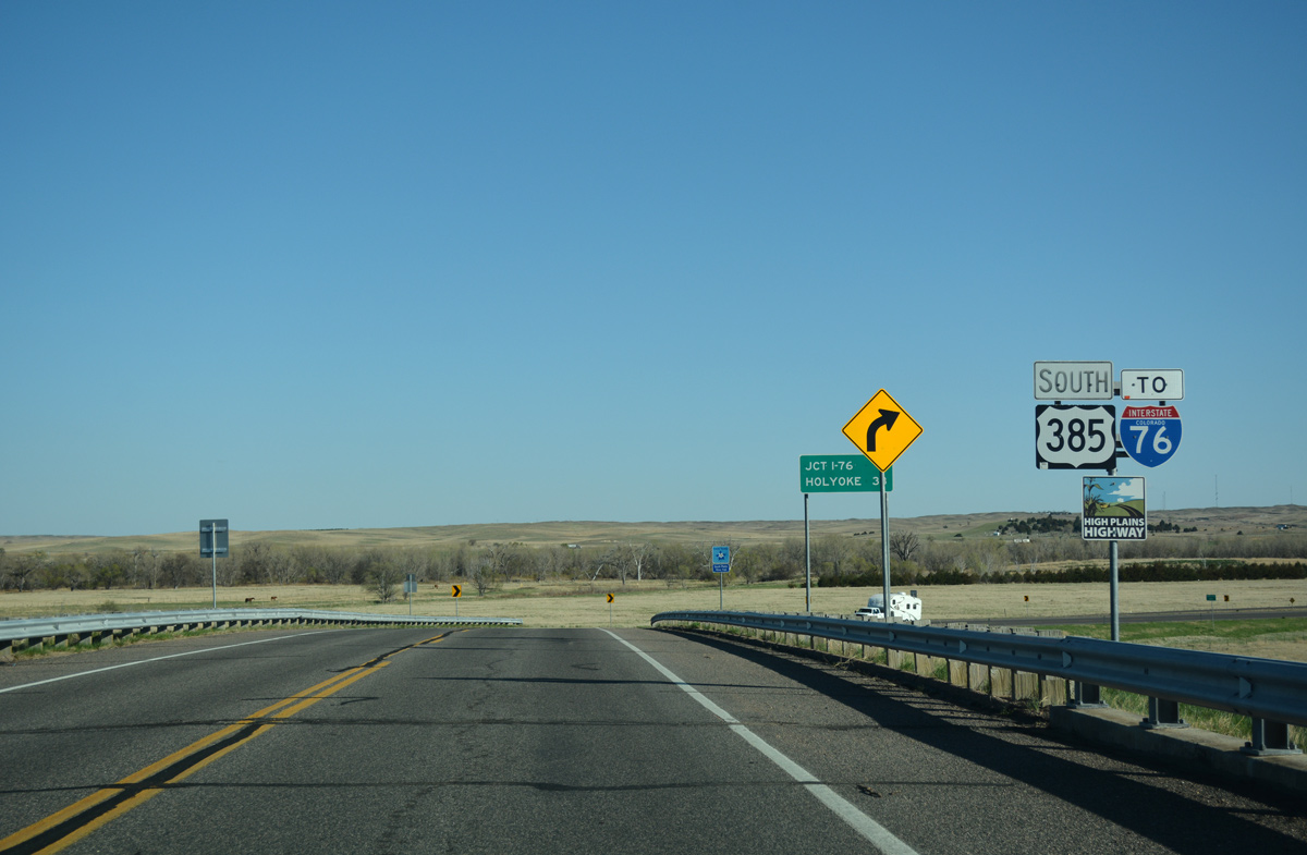
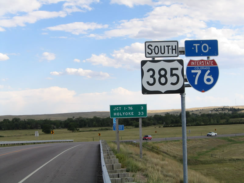
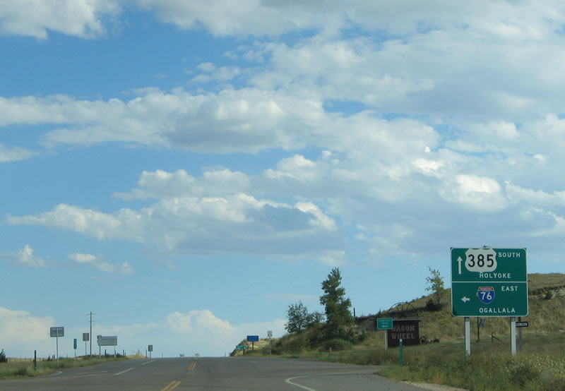
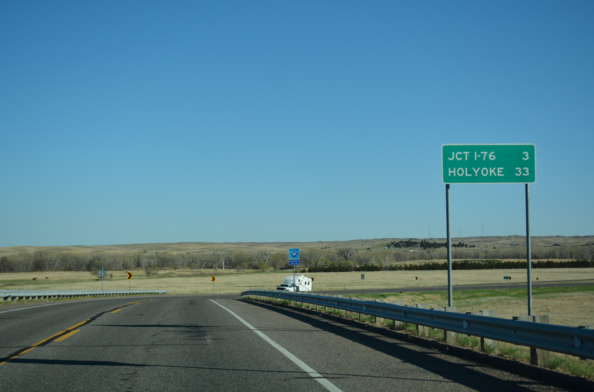 | An incorrect sign lists the distance to I-76 at three miles and Holyoke at 33 miles. The freeway lies 1.7 miles ahead while the Phillips County seat city center is 31.5 miles away. 04/22/17 |
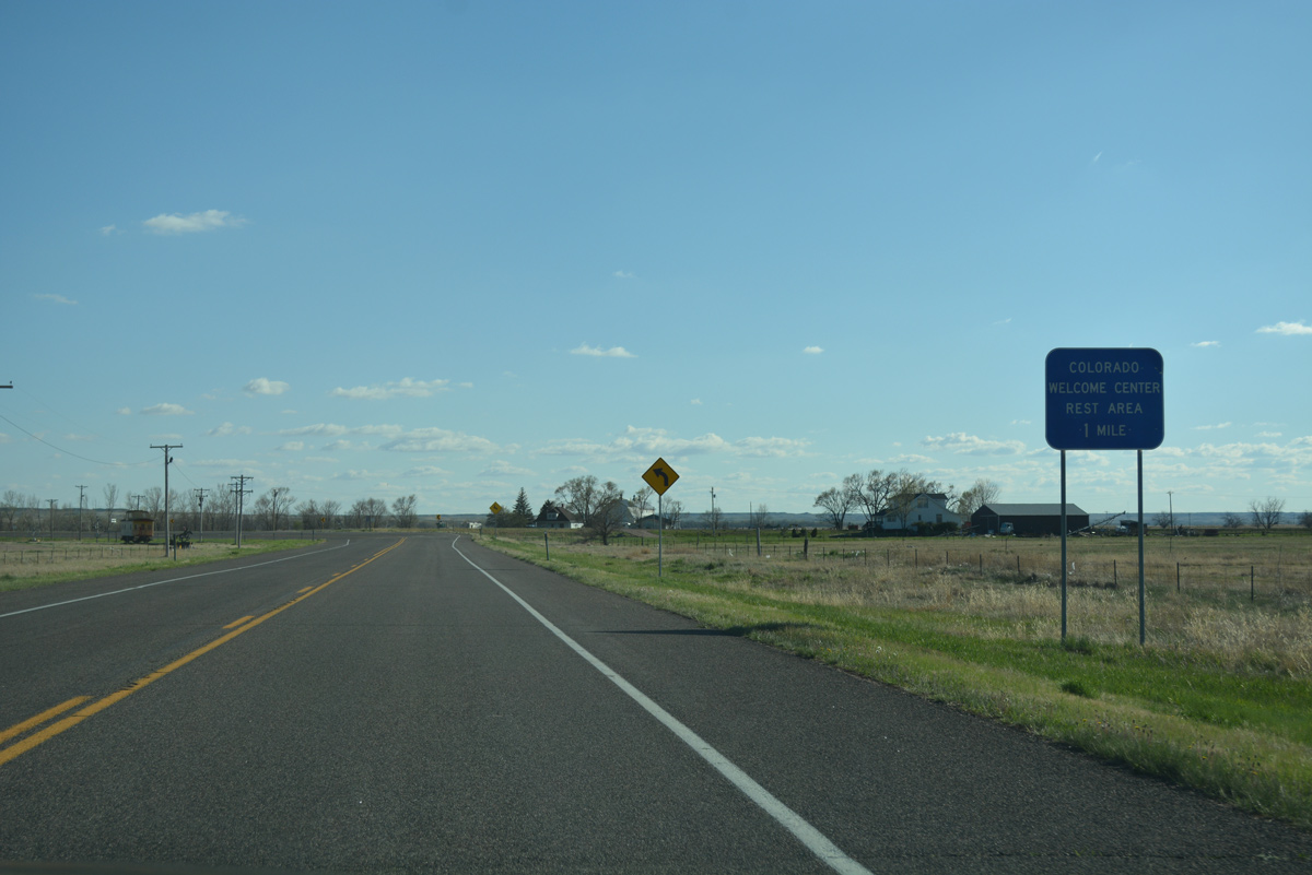 | An off freeway rest area and tourist information center for Interstate 76 lies one mile south of Cedar Street via U.S. 385. 04/22/17 |
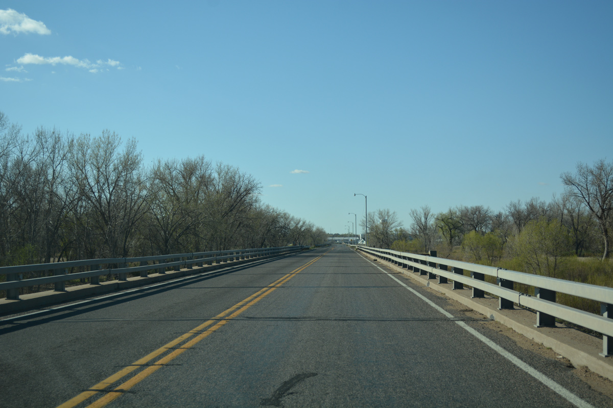
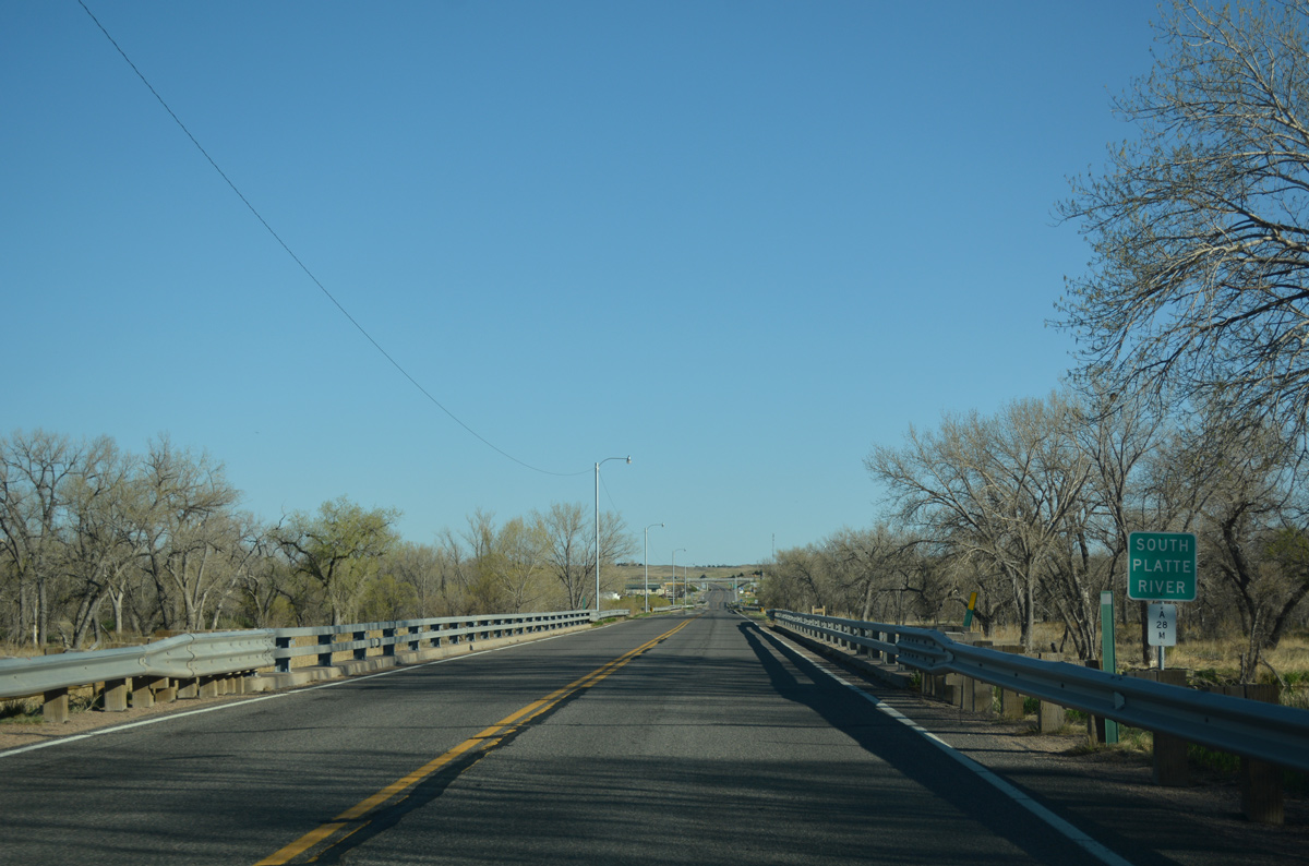 | U.S. 385 south crosses the wide South Platte River over a series of bridges. Each span passes over a separate channel. 04/22/17 |
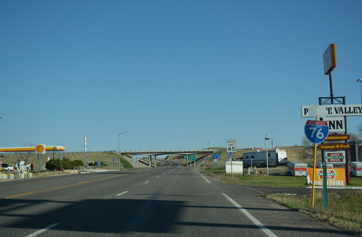 | Several gas stations are located by the diamond interchange joining U.S. 385 with Interstate 76. Exit 180 is the last on I-76 eastbound before the freeway enters Nebraska. 04/22/17 |
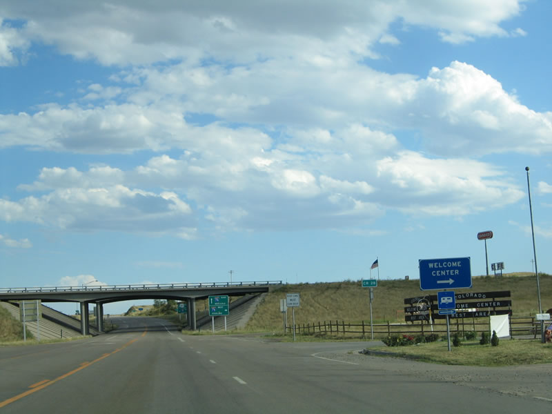 | The Colorado State Welcome Center is located by the southwest quadrant of the Julesburg interchange. 09/05/05 |
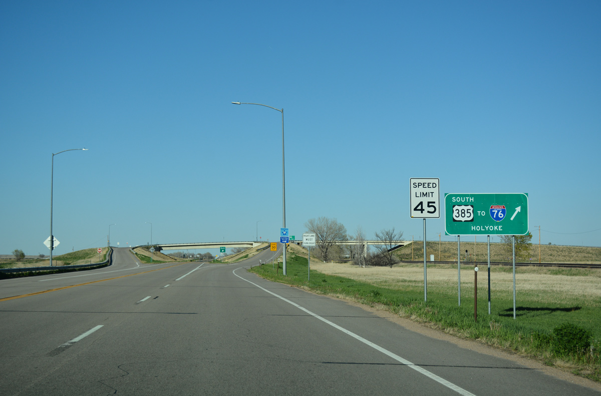
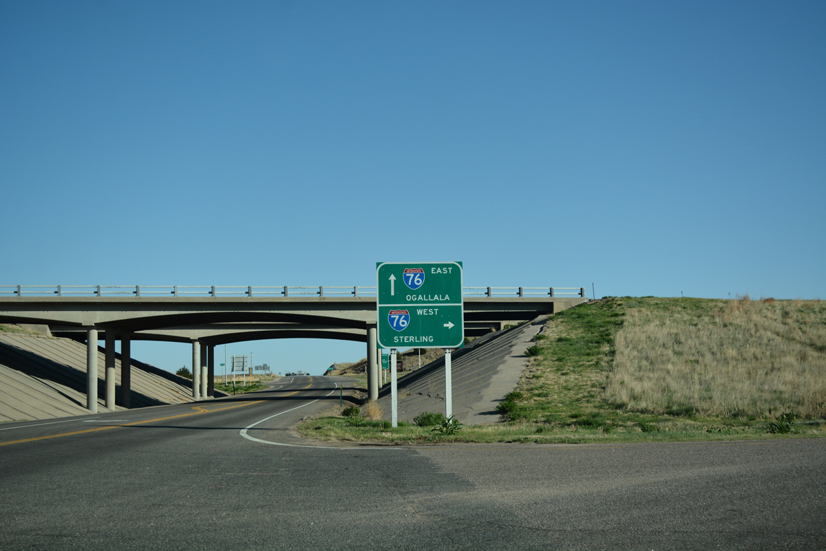 | Southbound U.S. 385 at the entrance ramp for Interstate 76 west to Sterling, Fort Morgan, Brush and Denver. 04/22/17 |
 | Interstate 76 east to Big Springs, Nebraska opened to traffic in 1970. I-80 leads east from nearby to Ogallala while U.S. 385 continues south toward Wray and Burlington. 09/05/05 |
| North |
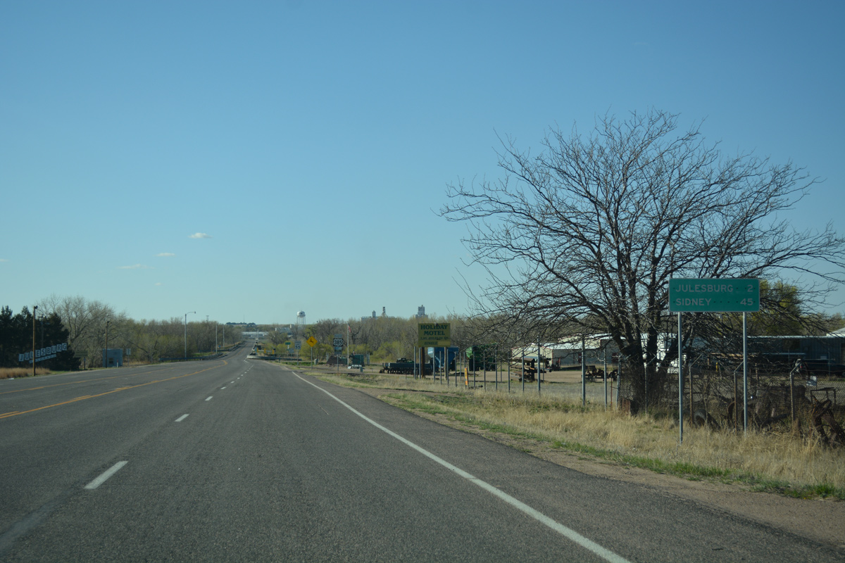 | North from the diamond interchange (Exit 180) with I-76, U.S. 385 leads 2.4 miles to the Julesburg business district and 45 miles to Sidney, Nebraska. 04/22/17 |
 | U.S. 385 expands briefly to five lanes by a collection of traveler services located north of Interstate 76. 04/22/17 |
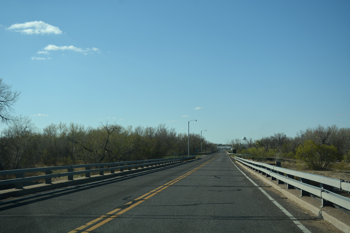  | Narrowing to two lanes, U.S. 385 crosses over the South Platte River. Built in 1959, the bridges span four channels. 04/22/17 |
 | U.S. 385 shifts northeast from the South Platte River to connect with U.S. 138 outside Julesburg. Prior to 1988, U.S. 385 continued northwest along County Road 32.7 to Cedar Street in Downtown. 04/22/17 |
 | The 1988 realignment of U.S. 385 to U.S. 138 bypassed an at-grade crossing with the Union Pacific Railroad line. 04/22/17 |
 | U.S. 138 runs 10.7 miles east along the South Platte River to Big Spring, Nebraska. 04/22/17 |
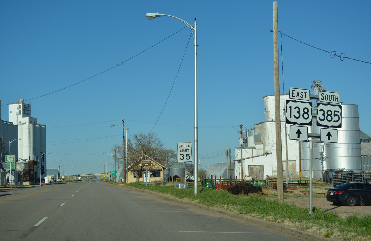
 | U.S. 138/385 combine for 3.8 miles from the diamond interchange along E 1st Street west through Julesburg to Julesburg Municipal Airport (7V8). 04/22/17 |
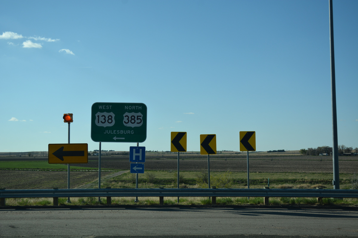
| West North |
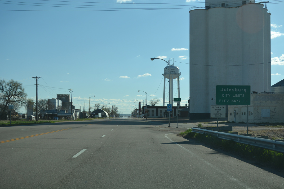 | Julesburg is one of the lower communities in the state, with an elevation of 3,477 feet above sea level. Its location near the junction of I-76 and I-80 helped it to gain prominence as a service center for commercial traffic en route to Denver and the West Coast to and from the Midwest. 04/22/17 |
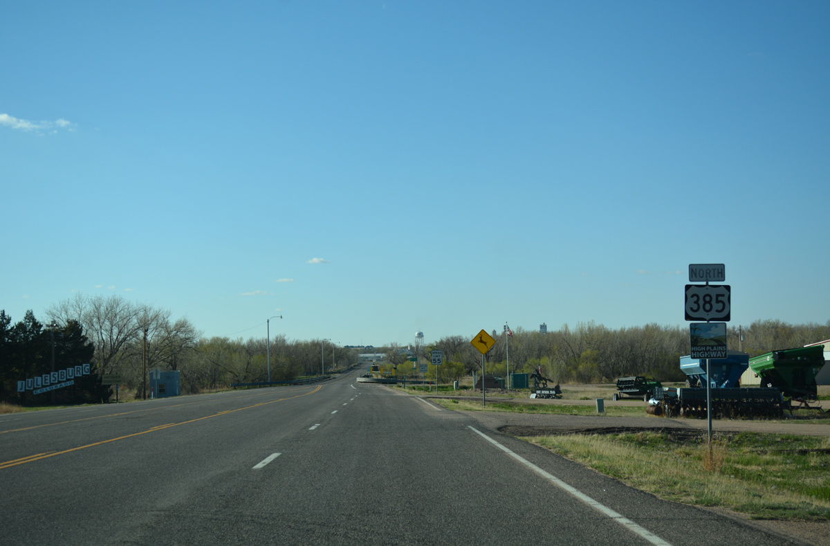
 | Trailblazers for U.S. 138 west / U.S. 385 north appear after Cedar Street (old SH 51), where they formerly combined. The distance sign references Chappell, a town in Nebraska located along U.S. 30 and U.S. 385 near Interstate 80. 04/22/17 |
Photo Credits:
09/05/05, 04/22/17 by AARoads
Connect with:
Interstate 70
Interstate 76
Business Loop I-70 - Burlington
U.S. 6
U.S. 24
U.S. 40
U.S. 50
U.S. 138
Page Updated 01-31-2022.