|
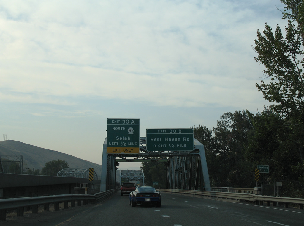
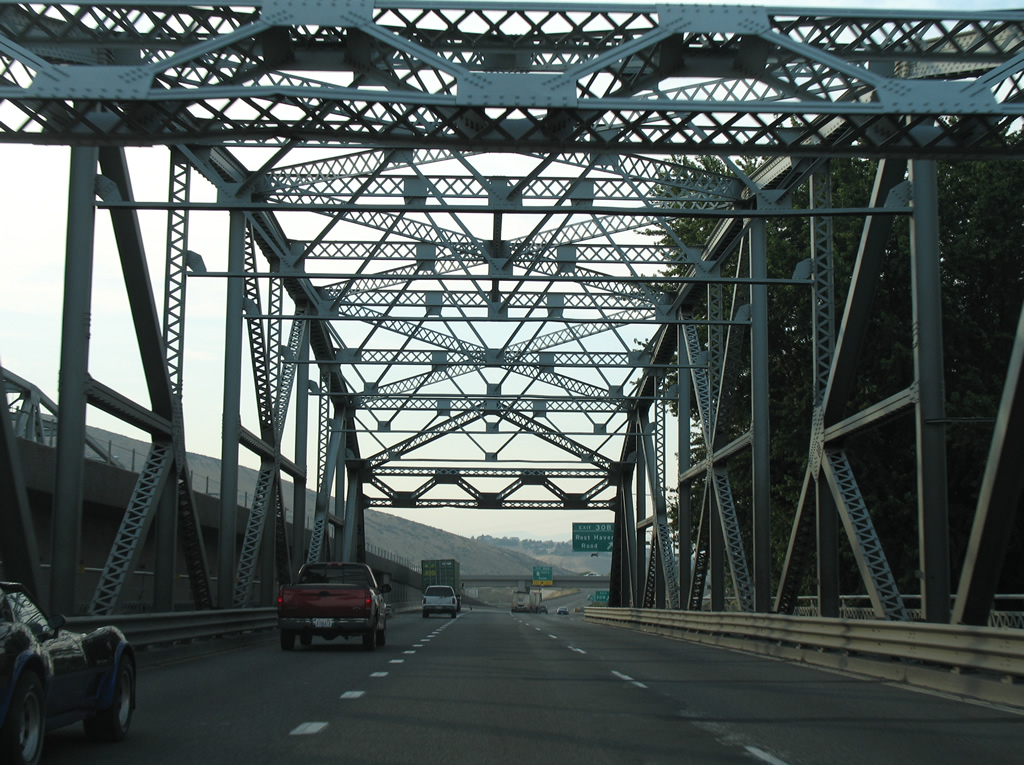
| SR 823 (Selah Road) runs between the steel truss bridges taking I-82/U.S. 97 across the Naches River. 08/28/06 |
|
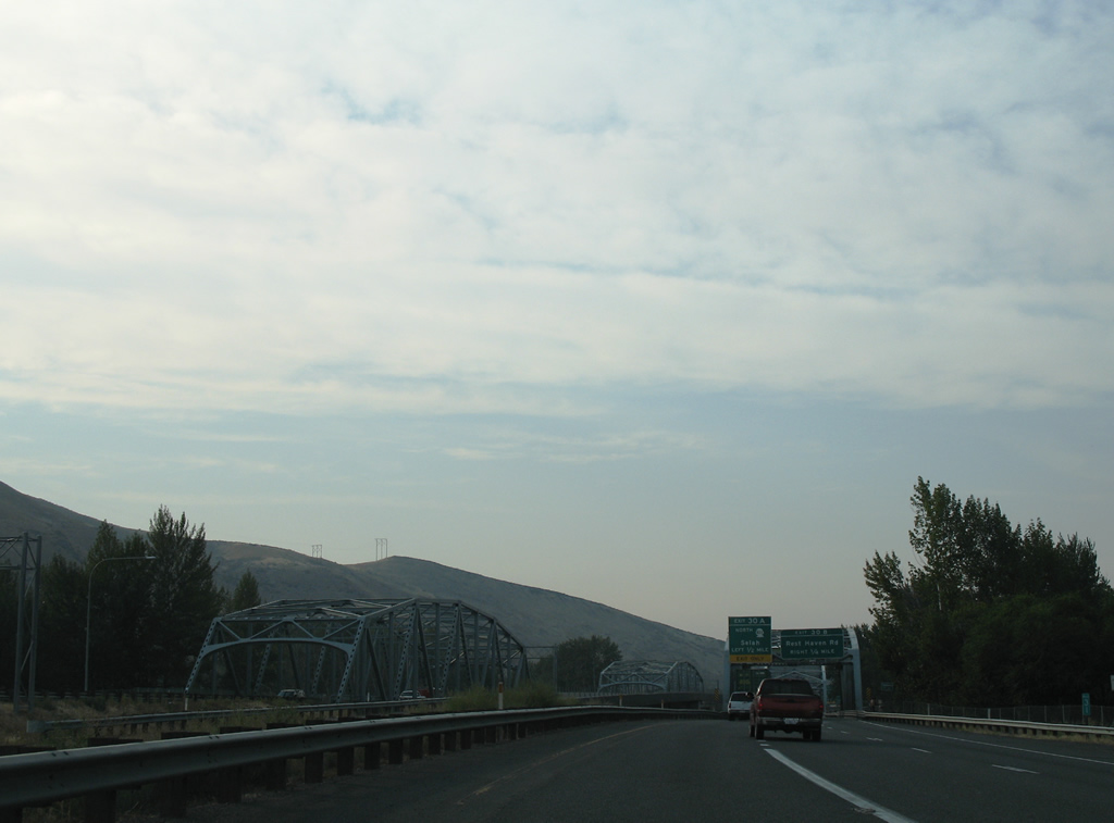
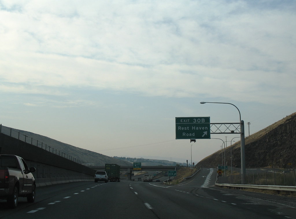
| Exit 30 B leaves I-82/U.S. 97 north next for Rest Haven Road. Rest Haven Road straddles Yakima Ridge east from SR 823 to Terrace Heights. 08/28/06 |
|
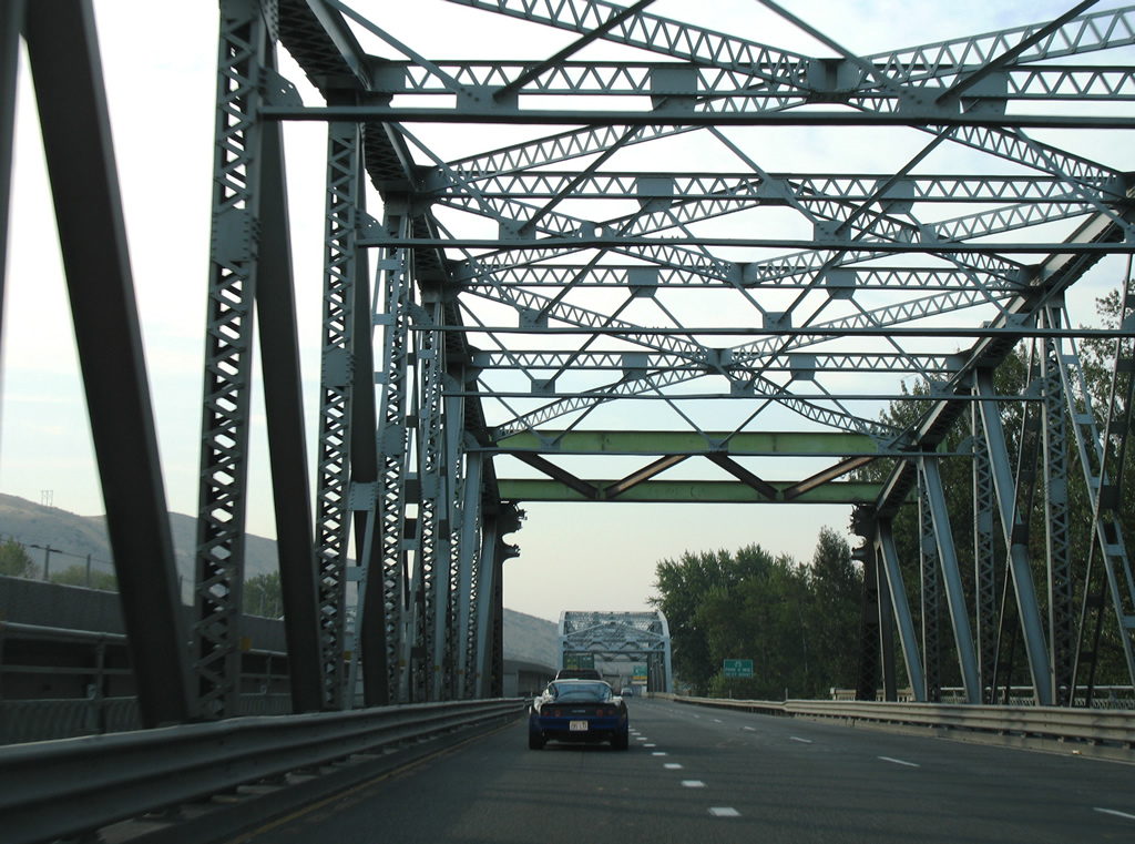
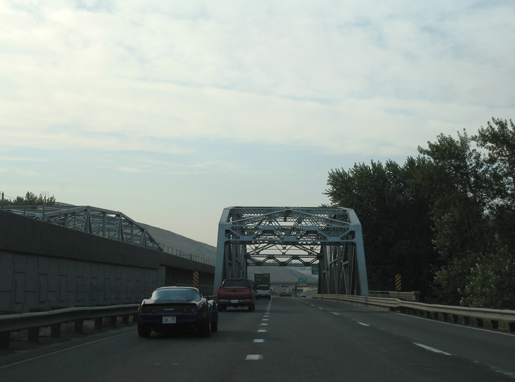
| Part of the original alignment of U.S. 97 between Yakima and Selah, the bridges along I-82 westbound over the Naches and Yakima Rivers date to 1932. The spans for I-82/U.S. 97 south were added in 1960. 08/28/06 |
|
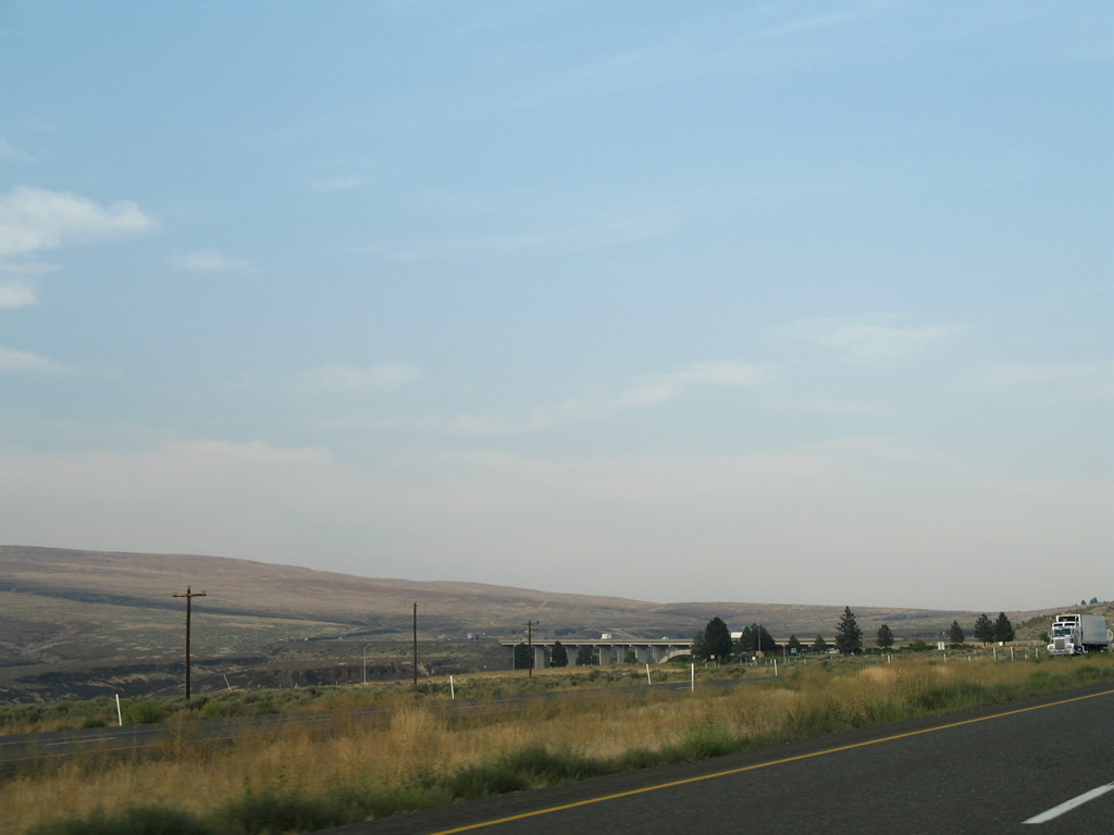
| Interstate 82 west crosses the Yakima River for a third time adjacent to the bridge built in 1999 for SR 823. 08/28/06 |
|
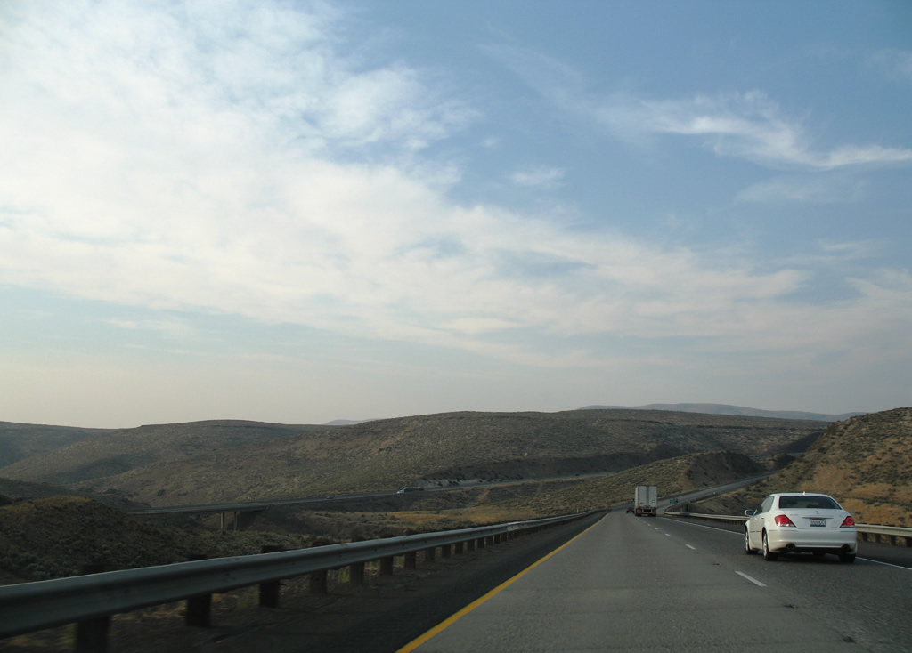
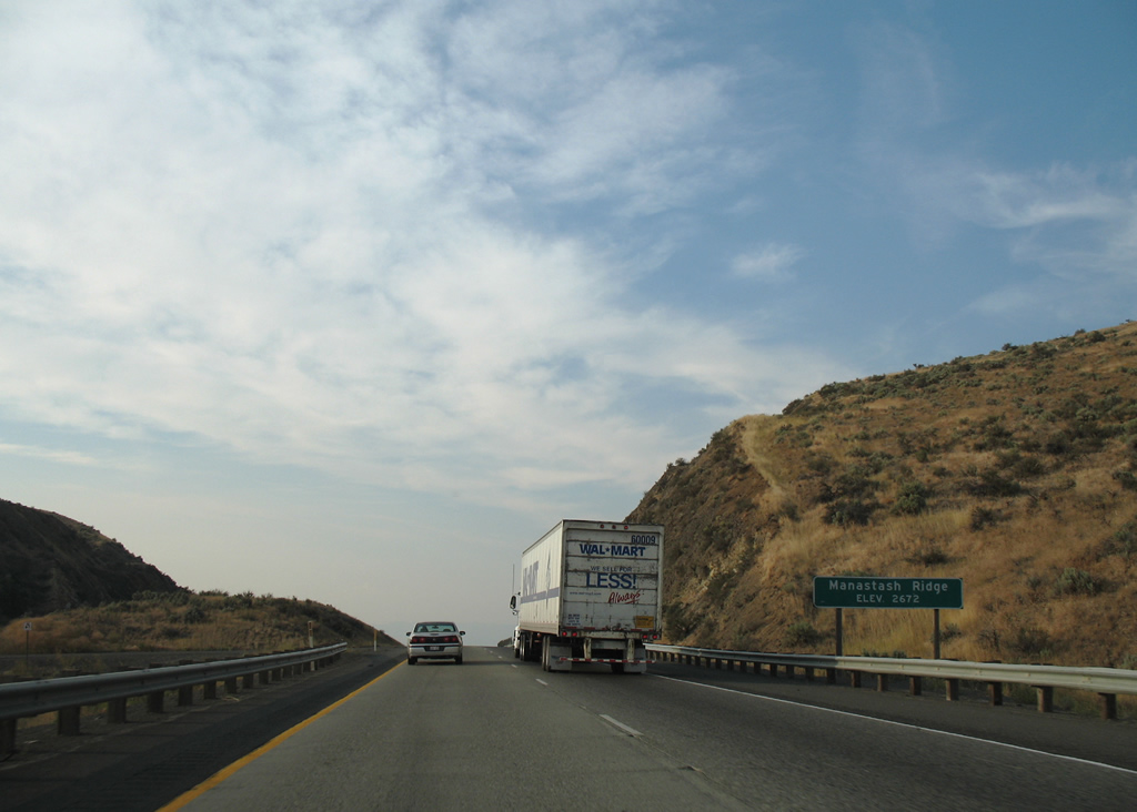
| A lane drop occurs for Left Exit 30 B beyond the truss bridge over the Yakima River. 08/28/06 |
|
| Exit 30 B leaves I-82/U.S. 97 north for Rest Haven Road and Rovetto Road to Harlan Landing Park along the Yakima River. 08/28/06 |
|
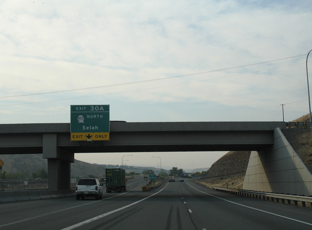
| SR 823 (Selah Road) angles northwest from Exit 30 A into Selah Valley and the city of Selah. 08/28/06 |
|
| Following the original alignment of U.S. 97 through Selah, SR 823 loops 5.56 miles west from I-82 to SR 821. 08/28/06 |
|
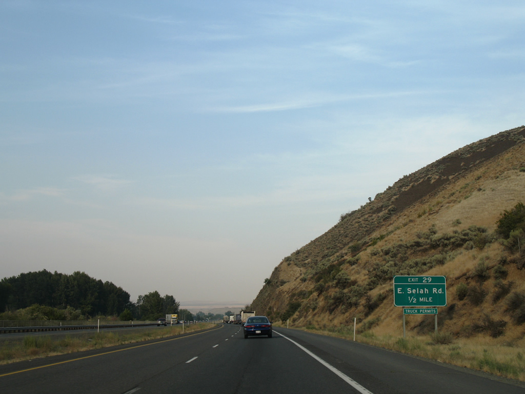
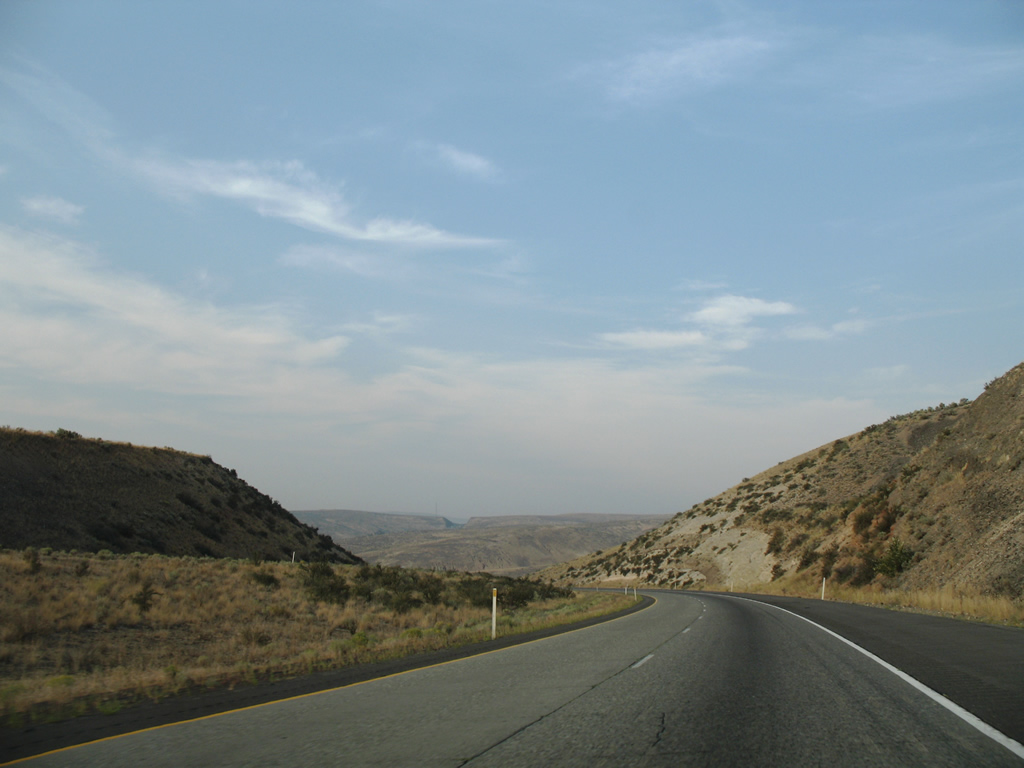
| Speed limits increase to 70 mph as I-82/U.S. 97 north leave Yakima. Meeting the freeway next is E Selah Road at Exit 29. 08/28/06 |
|
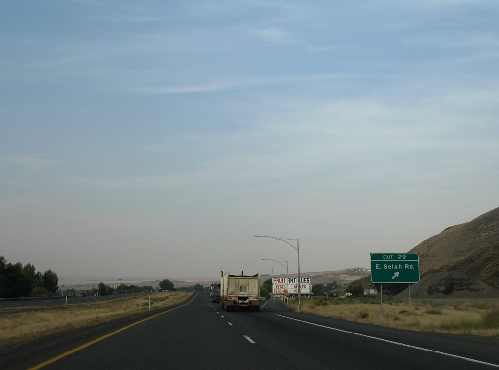
| I-82/U.S. 97 encircle Yakima Ridge north to the diamond interchange (Exit 29) with E Selah Road. E Selah Road crosses the valley east of the freeway and west of Roza Canal through Pomona Heights and East Selah to Firing Center Road. 08/28/06 |
|
| Confirming markers posted beyond Exit 29. Elton Road acts as a frontage road northward to ponds alongside the Yakima River. 08/28/06 |
|
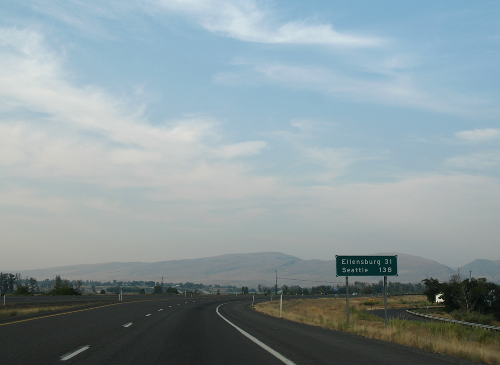
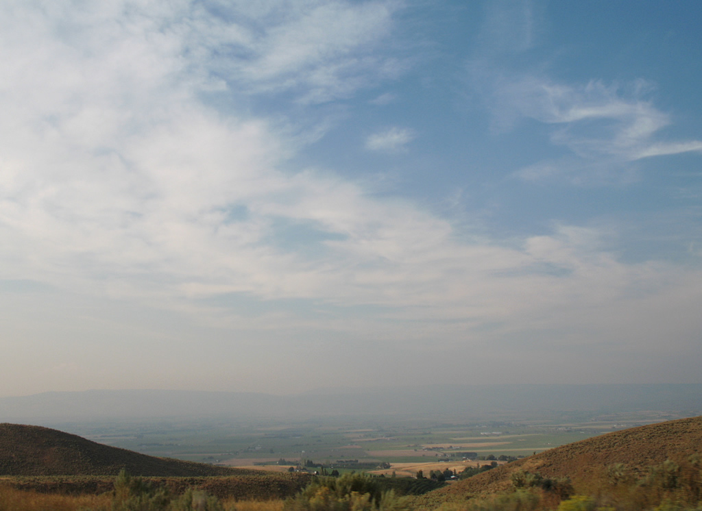
| 31 miles to the north, Ellensburg lies just west from the end of Interstate 82. Seattle lies beyond the Cascade Range along I-90. 08/28/06 |
|
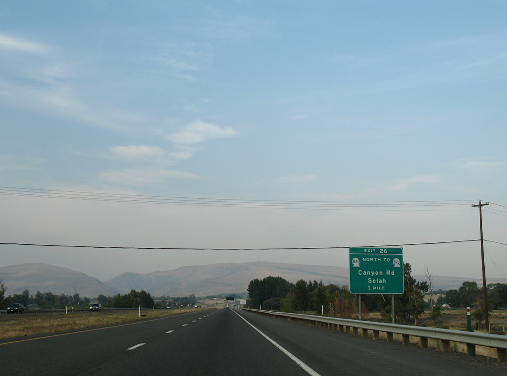
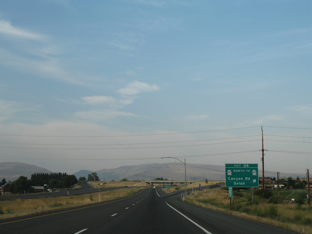
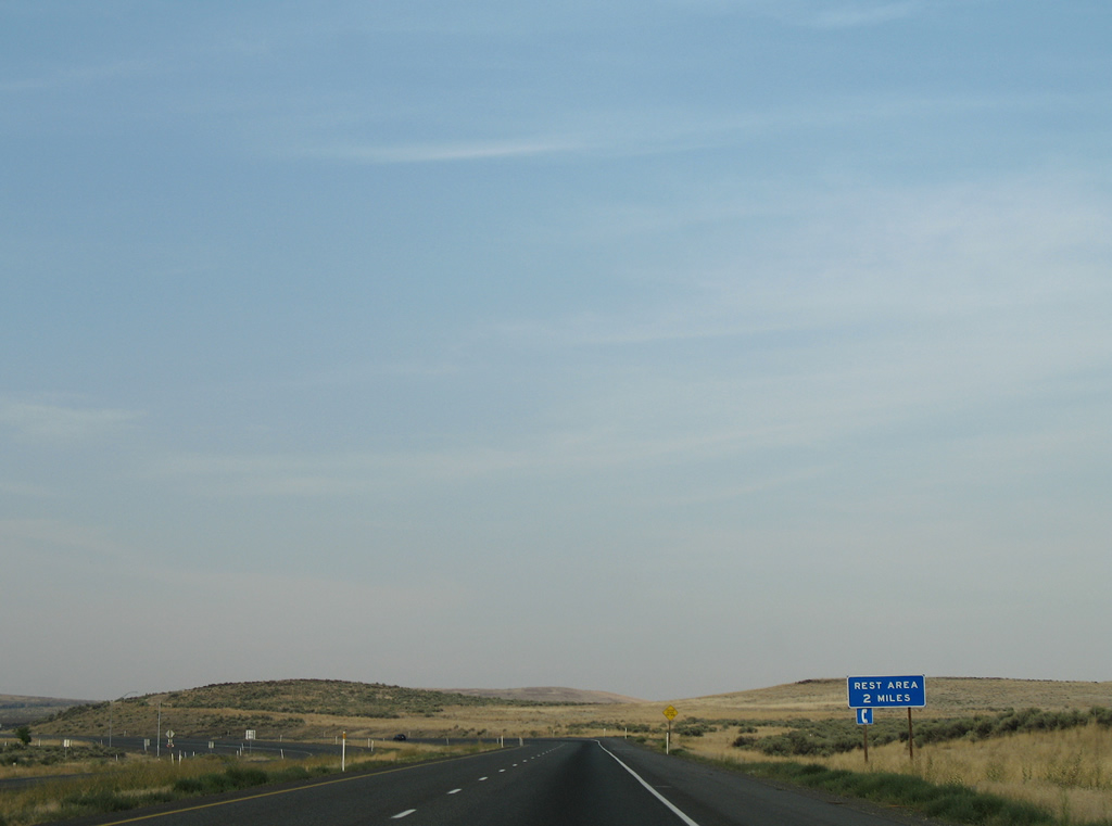
| SR 821 begins at the diamond interchange (Exit 26) with Firing Center Road. The state route follows old U.S. 97, 25.21 miles northward to Thrall and I-82 at Exit 3. 08/28/06 |
|
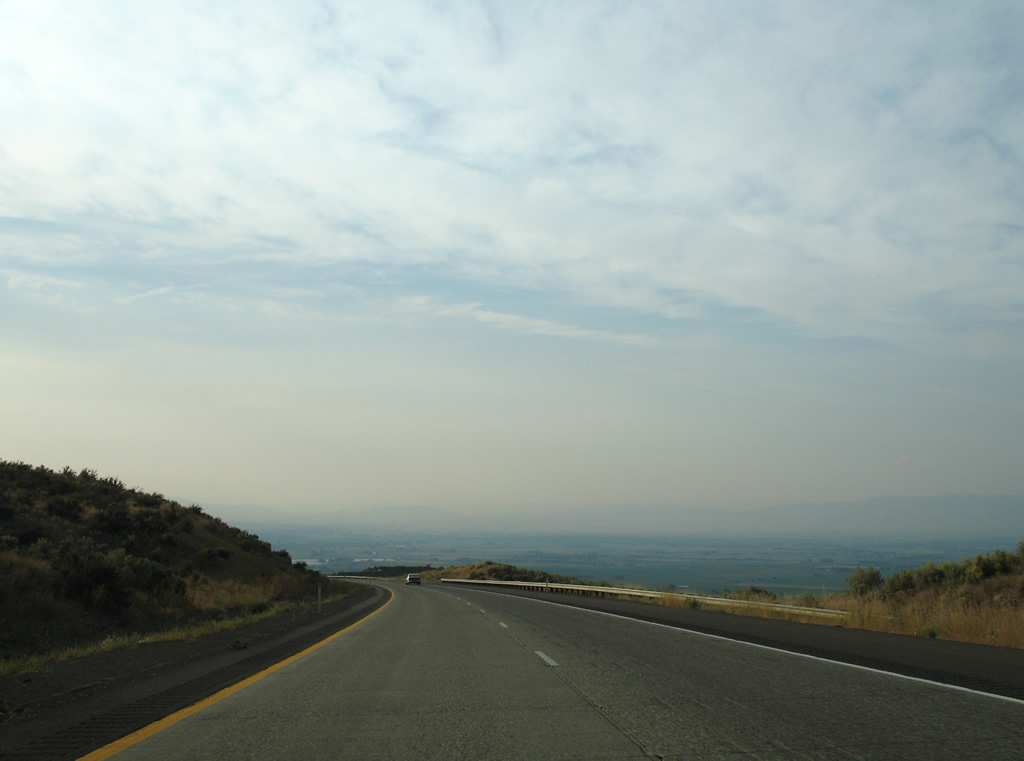
| SR 821 is restricted to trucks during the warm weather months as it parallels the Yakima River through Umtanum and Manastash Ridges. 08/28/06 |
|
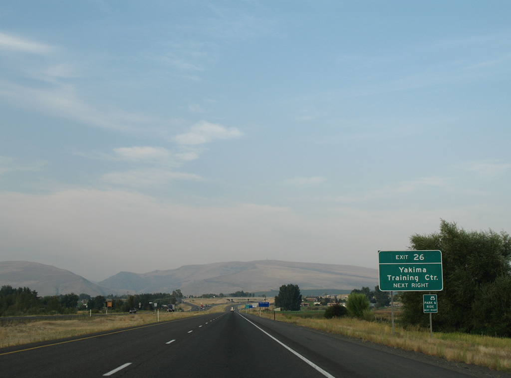
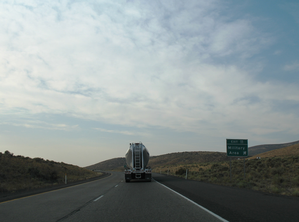
| Firing Center Road spurs eastward from Interstate 82 and SR 821 at Exit 26 into the U.S. Military Reservation Yakima Training Center. 08/28/06 |
|
| Exit 26 departs I-82 west for SR 821 (Canyon Road) north to adjacent SR 823 (Harrison Road) and Firing Center Road east. 08/28/06 |
|
| This set of confirming markers stands by a chain up area beyond the entrance ramp from Firing Center Road. 08/28/06 |
|
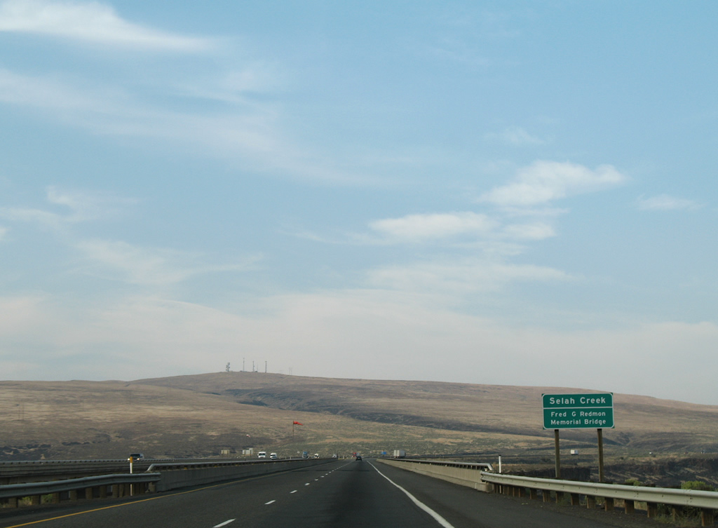
| The concrete arch of the Fred G. Redmon Memorial Bridge appears to the west as Interstate 82 slowly rises to span Selah Creek. 08/28/06 |
|
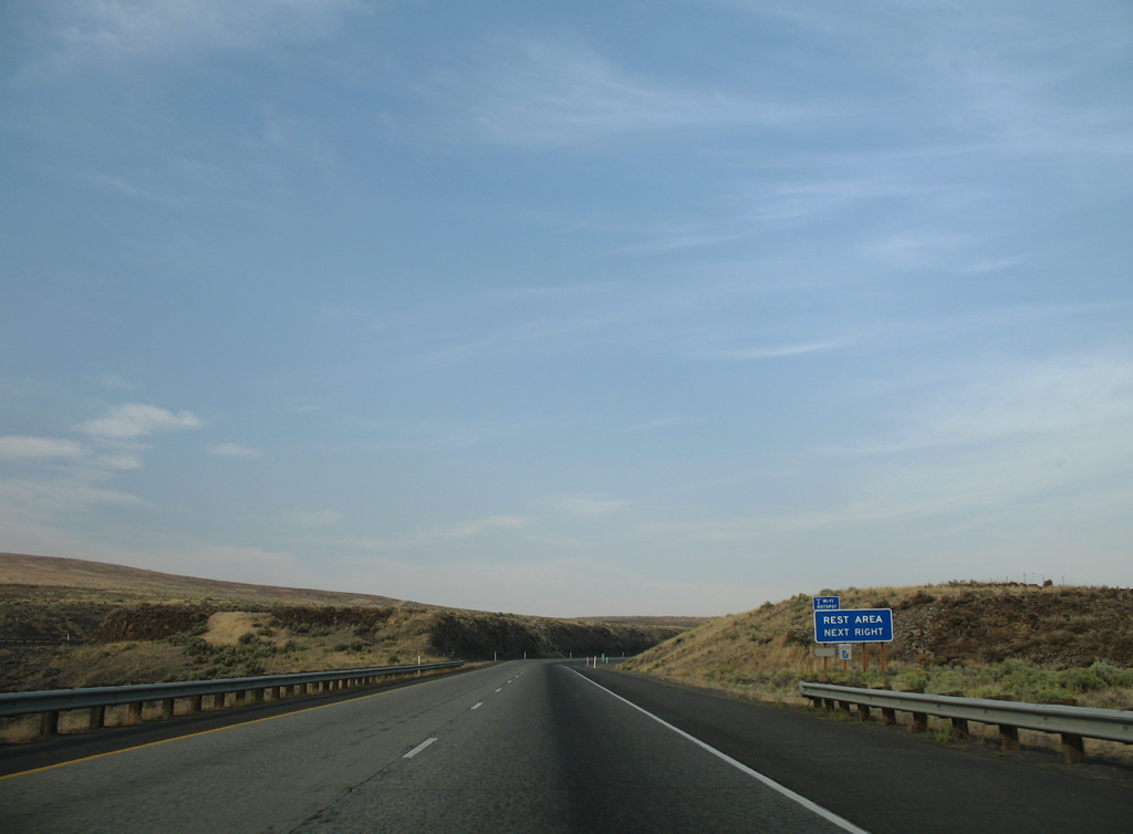
| The Selah Creek Rest Area lines the ascent to Umtanum Ridge. 08/28/06 |
|
| Although not readily visible from above, the Fred G. Redmon Memorial Bridge crosses a steep valley 325 feet above Selah Creek. 08/28/06 |
|
| Although not readily visible from above, the Fred G. Redmon Memorial Bridge crosses a steep valley 325 feet above Selah Creek. 08/28/06 |
|
| Severe side winds are possible on the 1,336 foot long Fred G. Redmon Memorial Bridge and a wind sock is posted midway across the span. 08/28/06 |
|
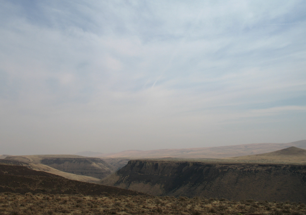
| Looking east at Selah Creek valley and Pushtay, a 1,845-foot hill to the south. Pushtay was originally called "Squaw Tit", a name changed in 1999 after requests from the Yakama Nation, the Wanapum Indians, and the U.S. Army due to its derogatory nature.1 08/28/06 |
|
| The Selah Creek Rest Area along I-82 west lies midway between Selah Creek and South Umtanum Ridge. The facility includes a scenic overlook for viewing the Fred G. Redmon Memorial Bridge. 08/28/06 |
|
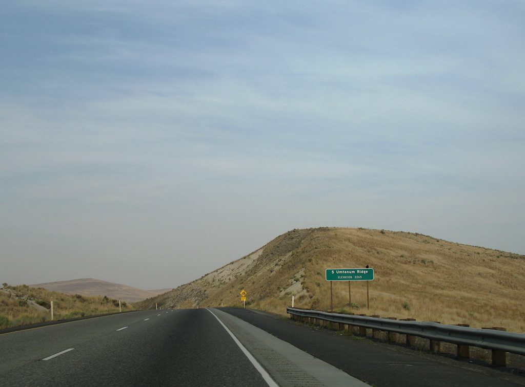
| Cresting over South Umtanum Ridge at an elevation of 2,265 feet above sea level near milepost 21. 08/28/06 |
|
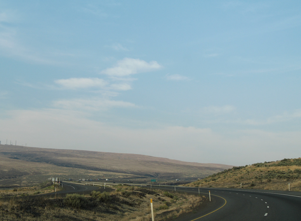
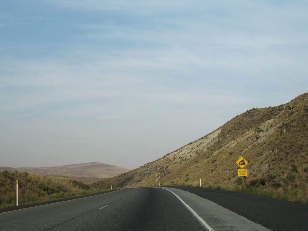
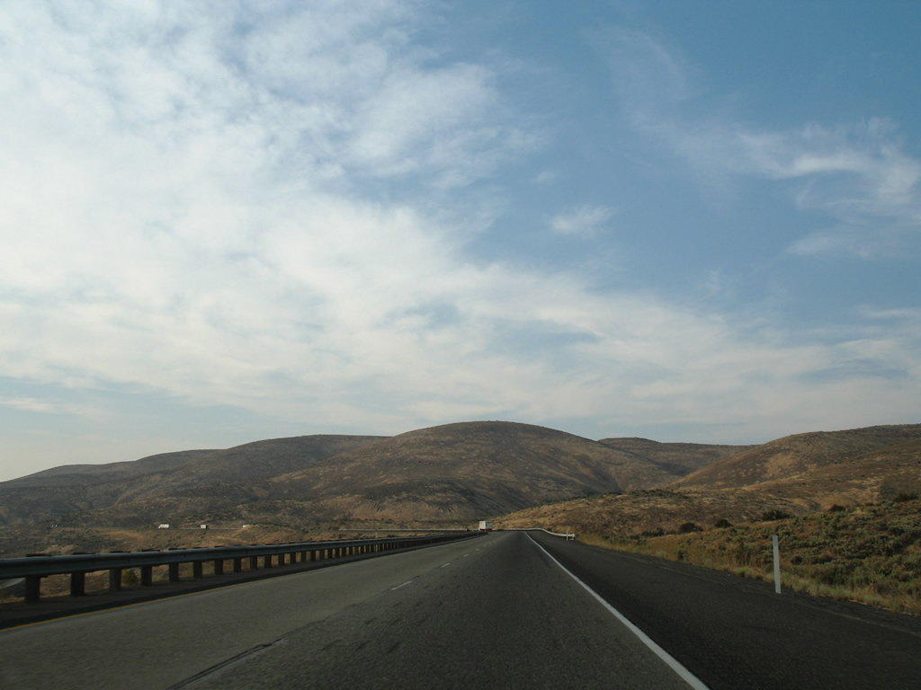
| Interstate 82 curves northerly and lowers with a 4% grade into Burbank Valley. The rock cut of the freeway over North Umtanum Ridge comes into view. 08/28/06 |
|
| Interstate 82 concludes a 55.46 mile long stretch through Yakima County. The remaining 19.88 miles are in Kittitas County. 08/28/06 |
|
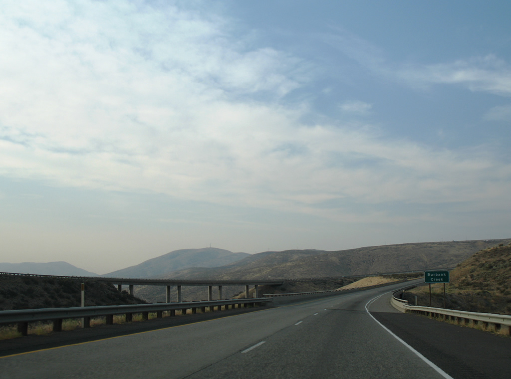
| Spanning Burbank Creek, Interstate 82 rises again from Burbank Valley onto North Umtanum Ridge. These spans were completed in 1970. 08/28/06 |
|
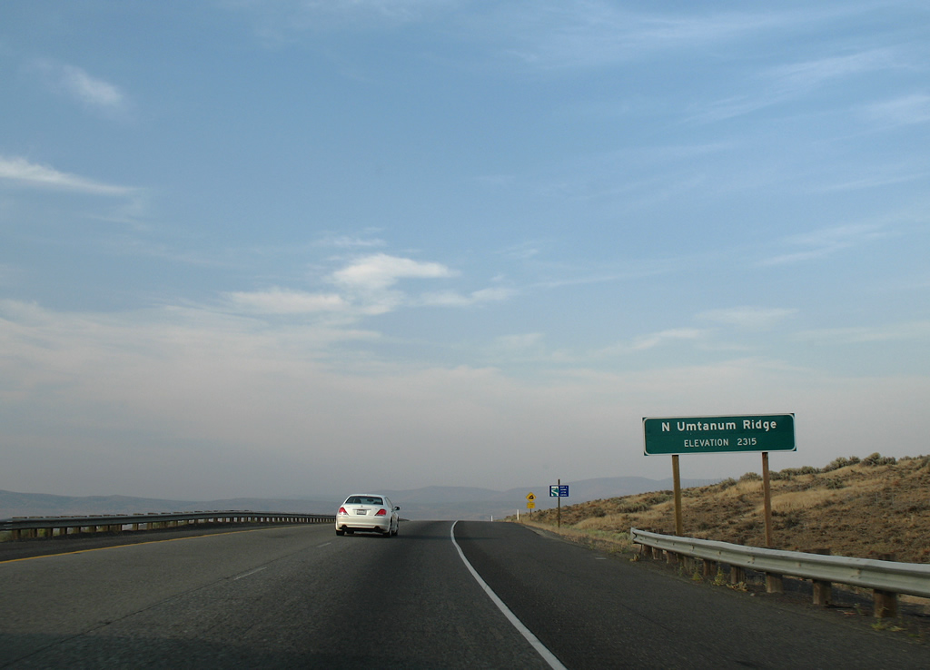
| I-82/U.S. 97 north ascend to a height of 2,315 feet above sea level over North Umtanum Ridge. 08/28/06 |
|
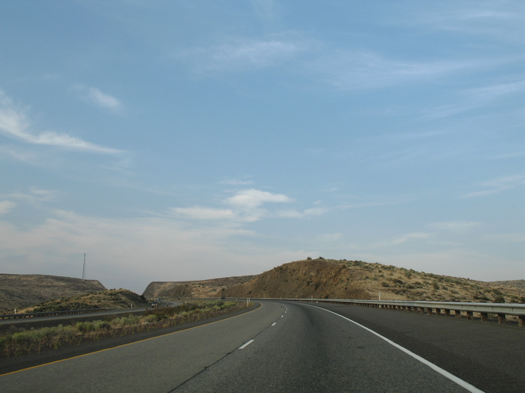
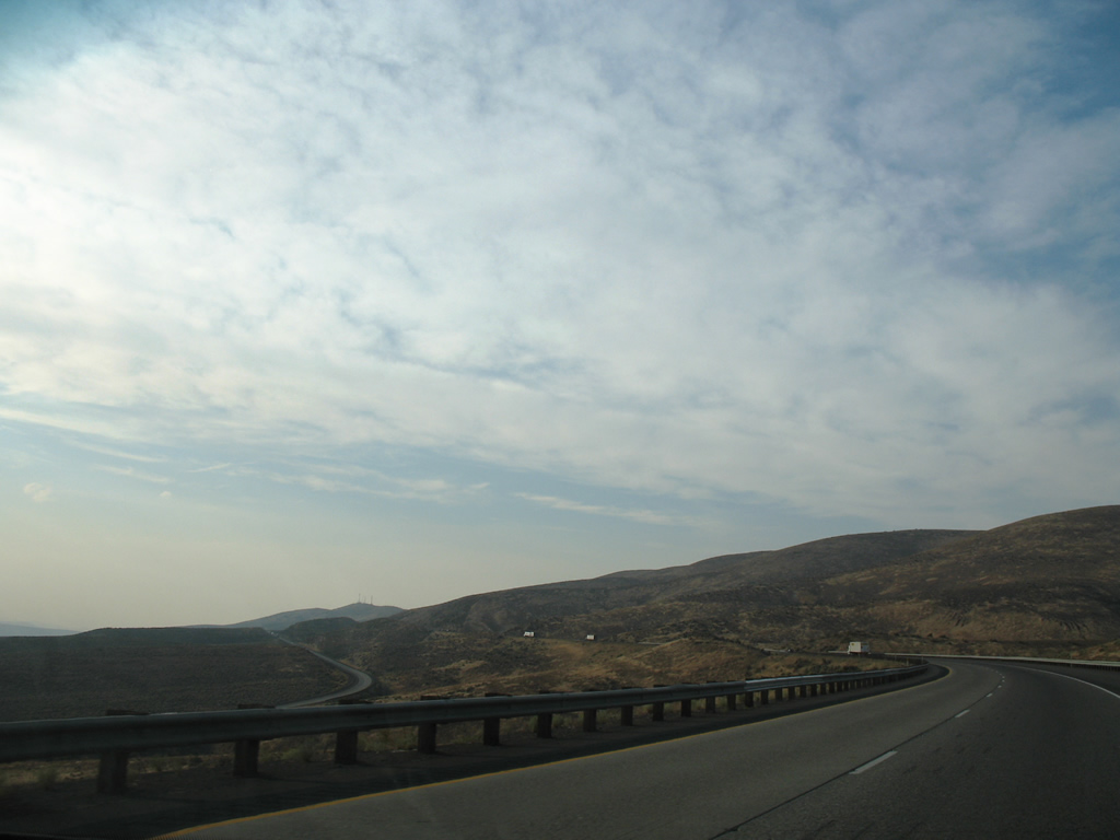
| The roadways of Interstate 82 separate on the descent to Lmuma Creek. Manastash Ridge and the Boylston Mountains rise along the northern horizon. 08/28/06 |
|
| Lmuma Creek flows westward under I-82/U.S. 97 in this scene toward the Yakima River. 08/28/06 |
|
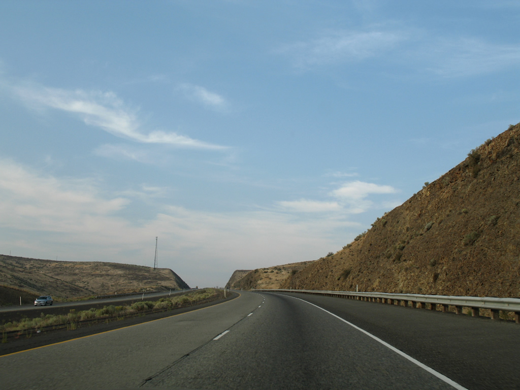
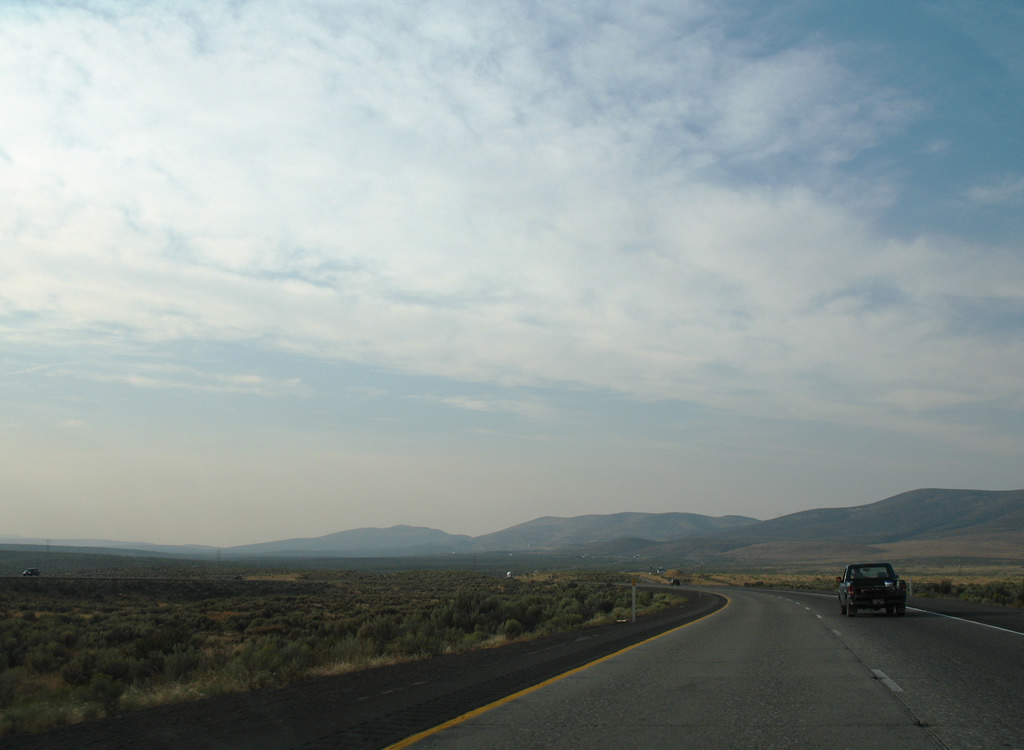
| Turning northwest, Interstate 82 spreads across a desert plateau between the Lmuma Creek valley and Manastash Ridge. 08/28/06 |
|
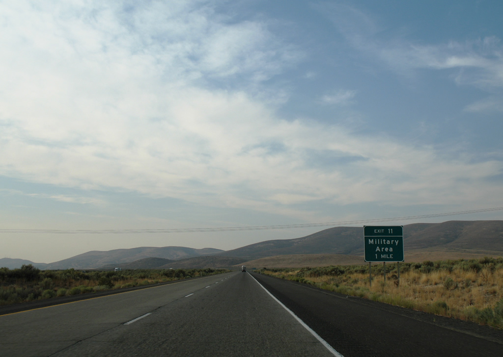
| One mile south of the diamond interchange (Exit 11) with Military Road in western reaches of Yakima Training Center. 08/28/06 |
|
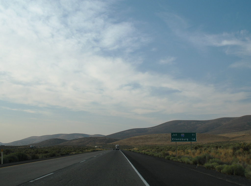
| The first sign referencing Interstate 90 along I-82 west precedes Exit 11. 08/28/06 |
|
| Exit 11 leaves I-82/U.S. 97 north for an isolated area of Yakima Training Center. Restricted unpaved roads radiate eastward from the exchange. 08/28/06 |
|
| Interstate 82 again expands with a wide median as the freeway travels along the south face of Manastash Ridge. 08/28/06 |
|
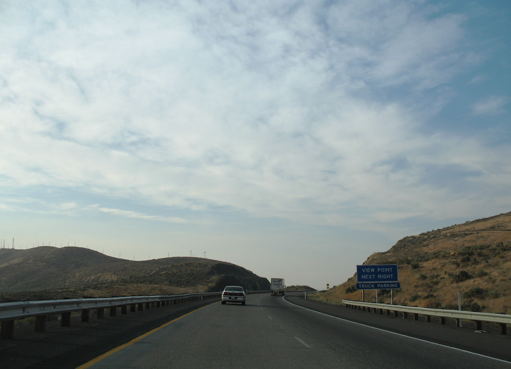
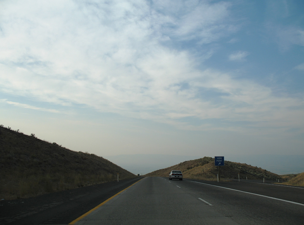
| The Manastash Ridge View Points lie just north of Vanderbilt Gap along both sides of I-82/U.S. 97. 08/28/06 |
|
| Interstate 82 cuts through Manastash Ridge at a height of 2,672 feet above sea level through Vanderbilt Gap. 08/28/06 |
|
| Westbound at the scenic pull-off on the north face of Manastash Ridge. Kittitas Valley spreads to the north. 08/28/06 |
|
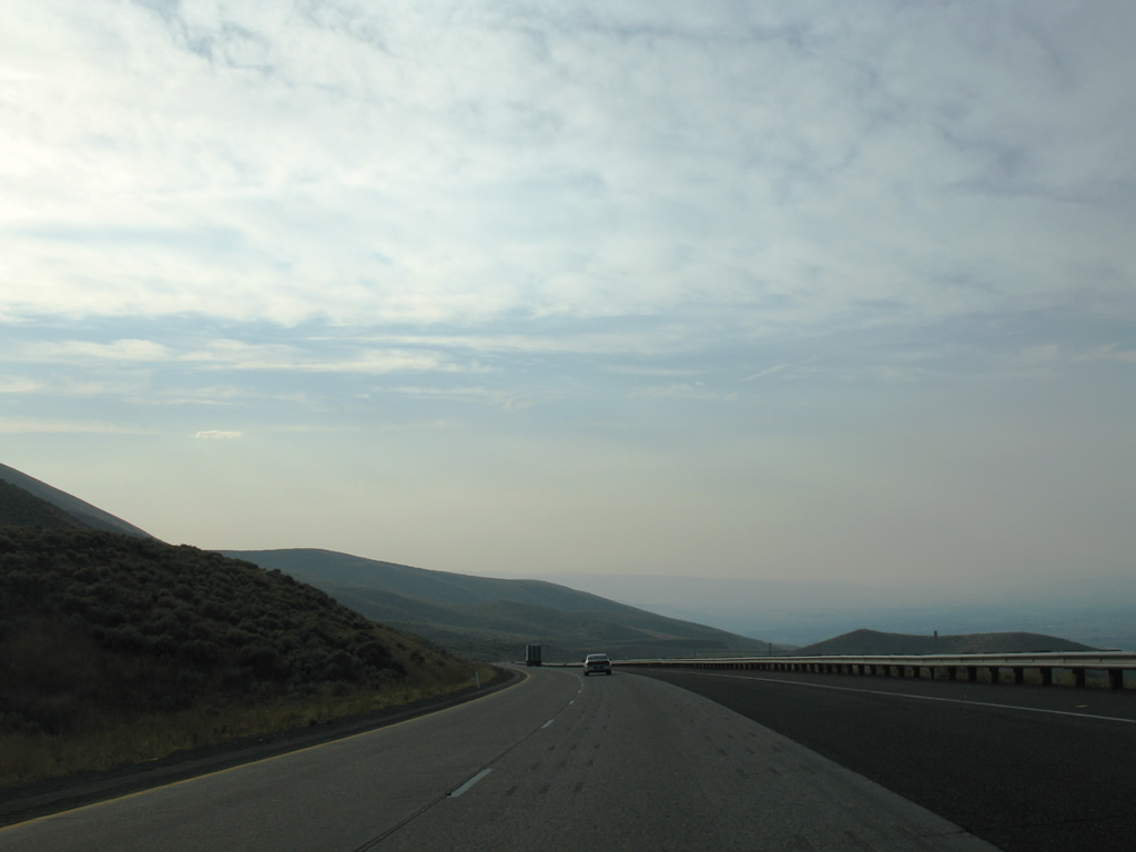
| Lining the north face of Manastash Ridge, I-82/U.S. 97 gradually lower to an elevation of 1,440 feet ahead of Exit 3. 08/28/06 |
|
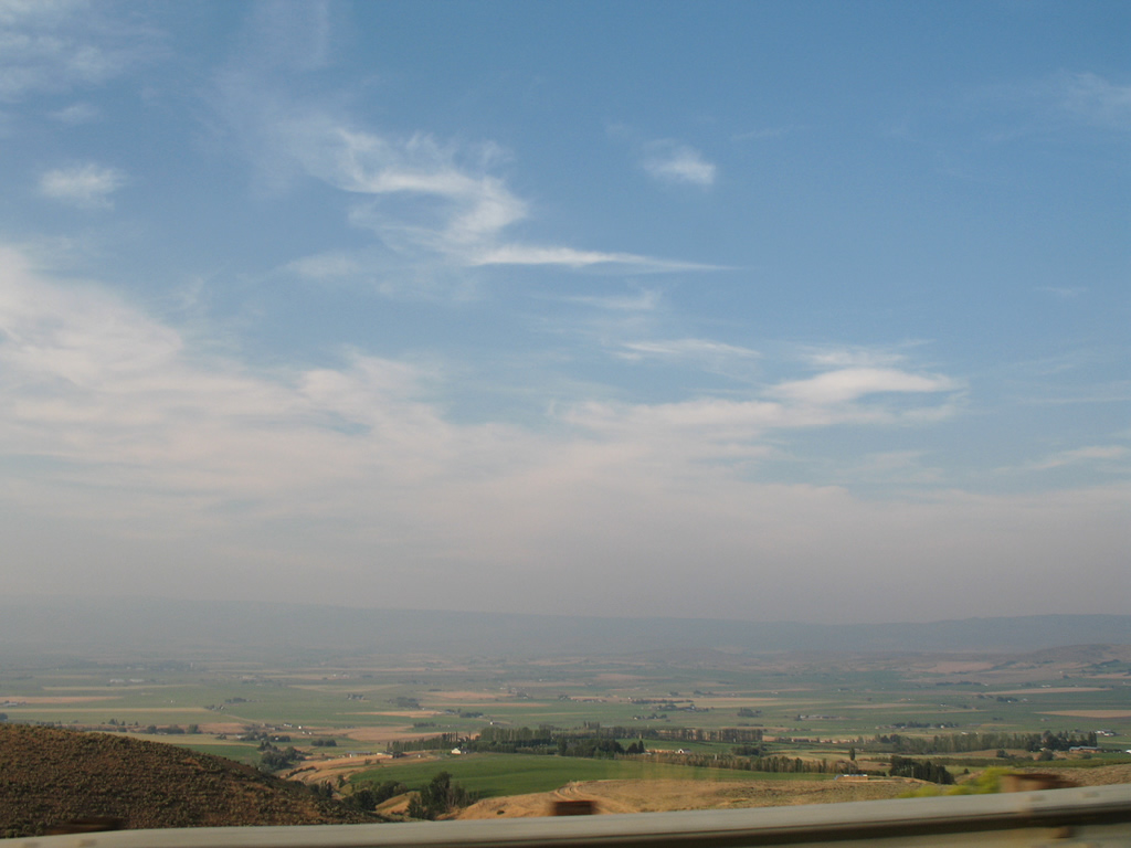
| Desert scrub on Manastash Ridge gives way to farm fields from Edgemont north to Kittitas and Ellensburg in the Kittitas Valley. 08/28/06 |
|
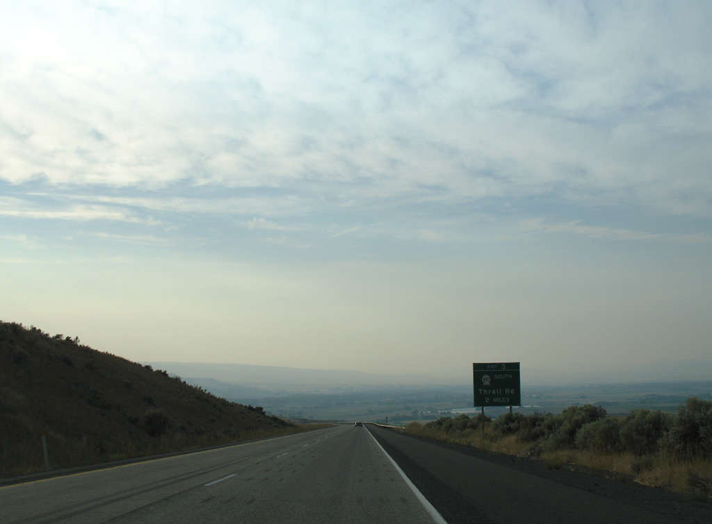
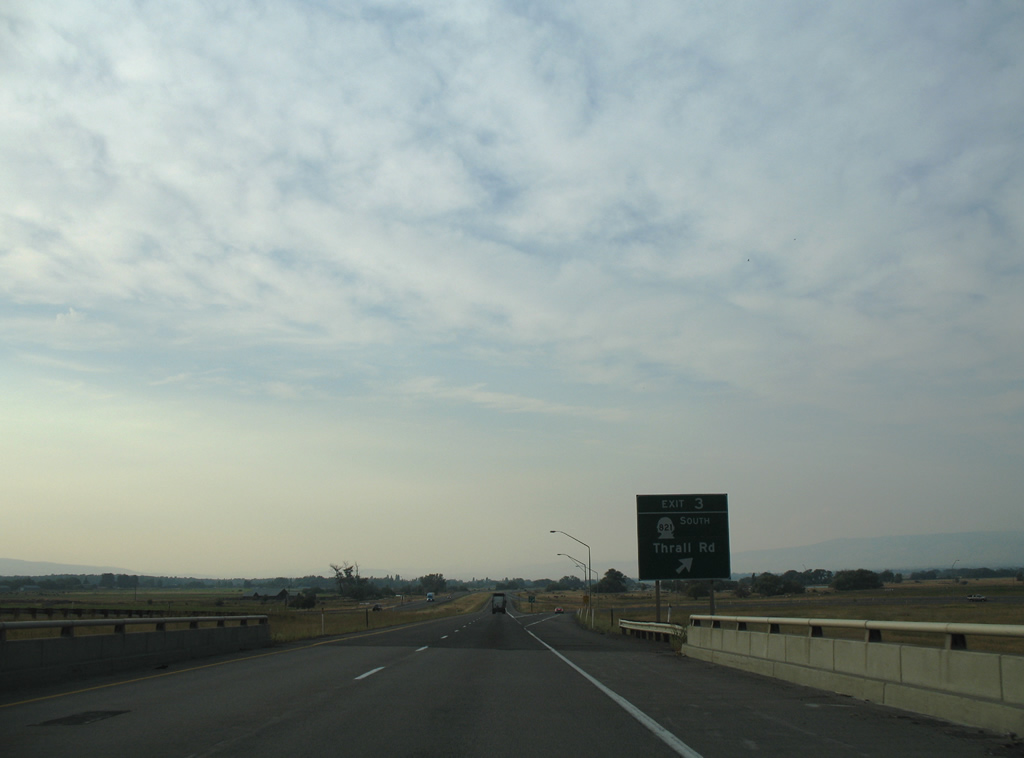
| SR 821 returns to I-82/U.S. 97 via Thrall Road east from Canyon Road at Exit 3 in two miles. The state route ends at the folded diamond interchange just outside Thrall. 08/28/06 |
|
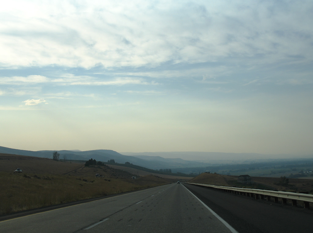
| Manastash Ridge continues westward into the Cascade Range from the Kittitas Valley and the northward turn along I-82 toward Ellensburg. 08/28/06 |
|
| Exit 3 loops to SR 821 south and Thrall Road east to Edgemont. SR 821 originally continued north along Canyon Road (former U.S. 97) to I-90 at Exit 109 outside Ellensburg. 08/28/06 |
|
| The final Interstate 82 westbound shield appears where the freeway parallels Wilson Creek. 08/28/06 |
|
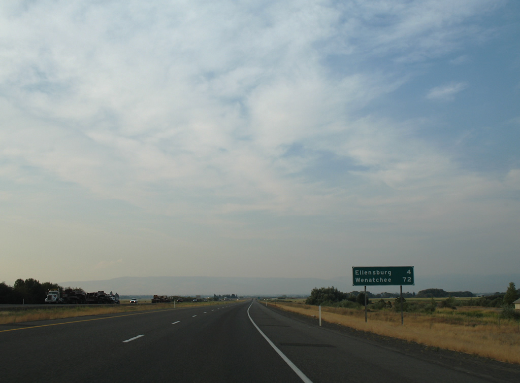
| Wenatchee, the northbound destination for U.S. 97 beyond Interstate 90, joins Ellensburg on the last distance sign for I-82 west. 08/28/06 |
|
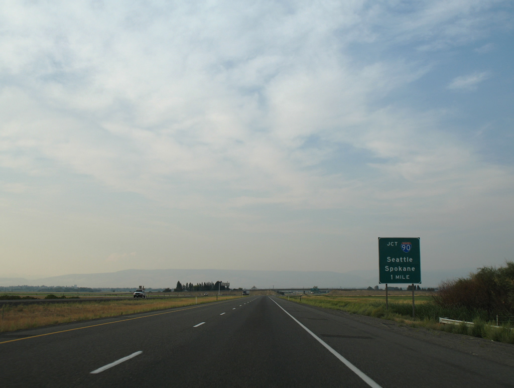
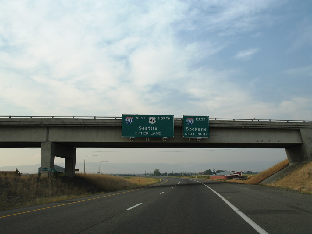
| An unnumbered trumpet interchange joins I-82/U.S. 97 with Interstate 90 in one mile. 08/28/06 |
|
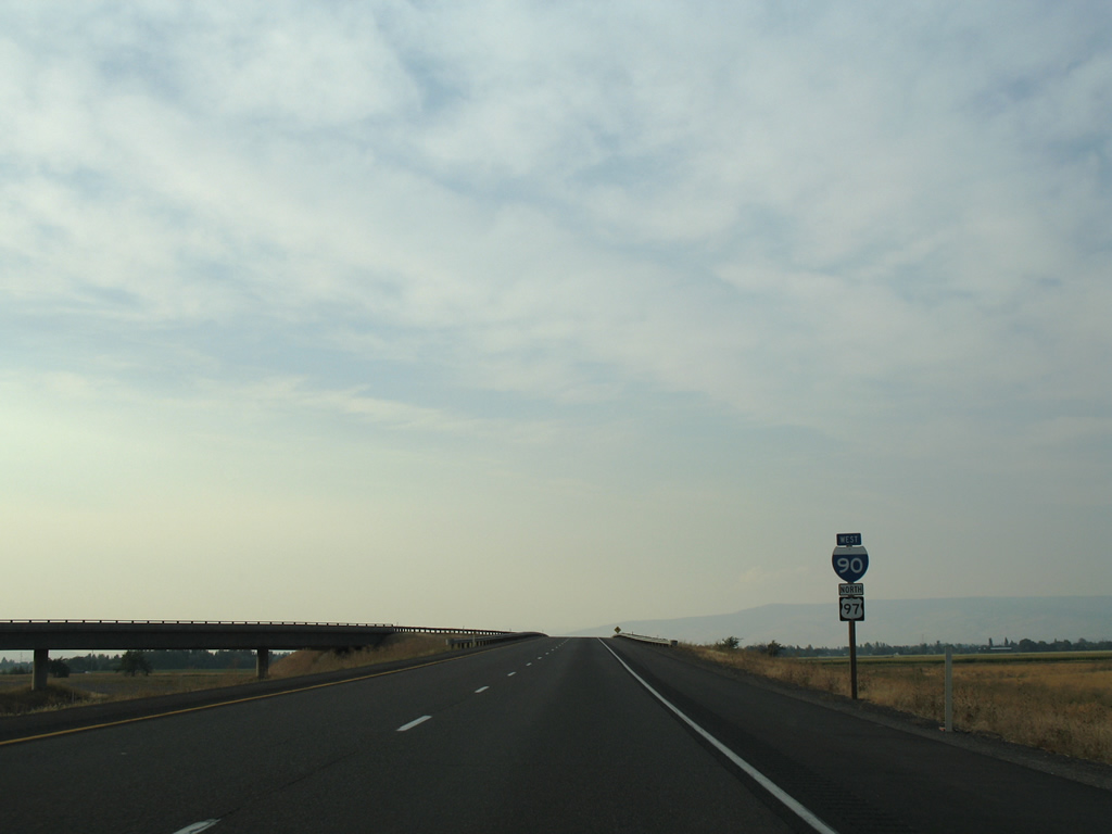
| I-82 westbound defaults onto Interstate 90 west to Cle Elum and Snoqualmie Pass. U.S. 97 follows I-90 for 4.81 miles around Ellensburg before resuming north to U.S. 2 and Wenatchee. 08/28/06 |
|
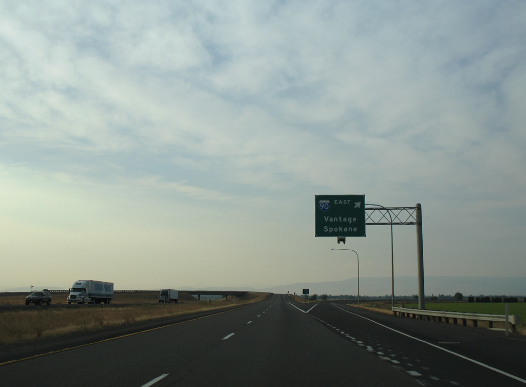
| A single lane ramp joins Interstate 90 east to Vantage, where the freeway spans Wanapum Lake along the Columbia River. I-90 stretches 297.51 miles across the state between Seattle and Liberty Lake east of Spokane. 08/28/06 |
|
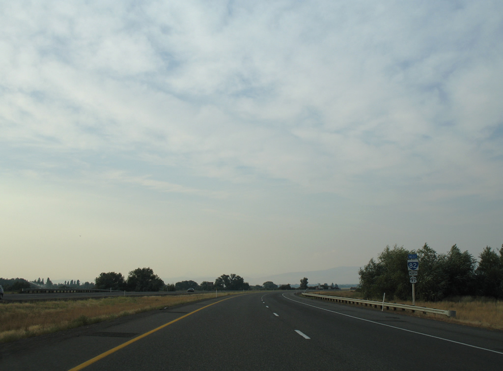
| Shields for I-90/U.S. 97 stand along the ramp for Ellensburg. I-90 travels 108 miles west to Interstate 5 in Seattle. 08/28/06 |
Page Updated 09-29-2011.

 West
West  North
North