
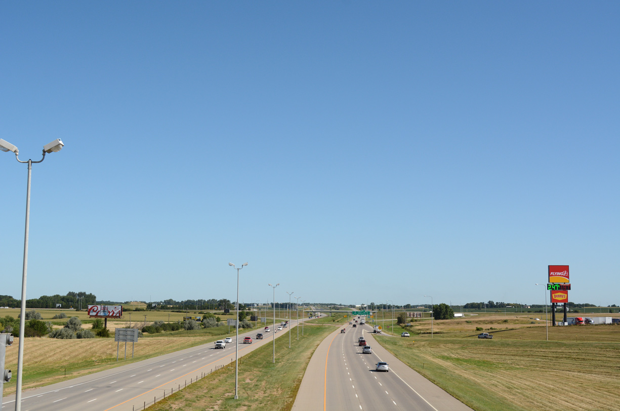
Interstate 29 north of the SD 38 (60th Street) overpass in northwest Sioux Falls. 08/06/16
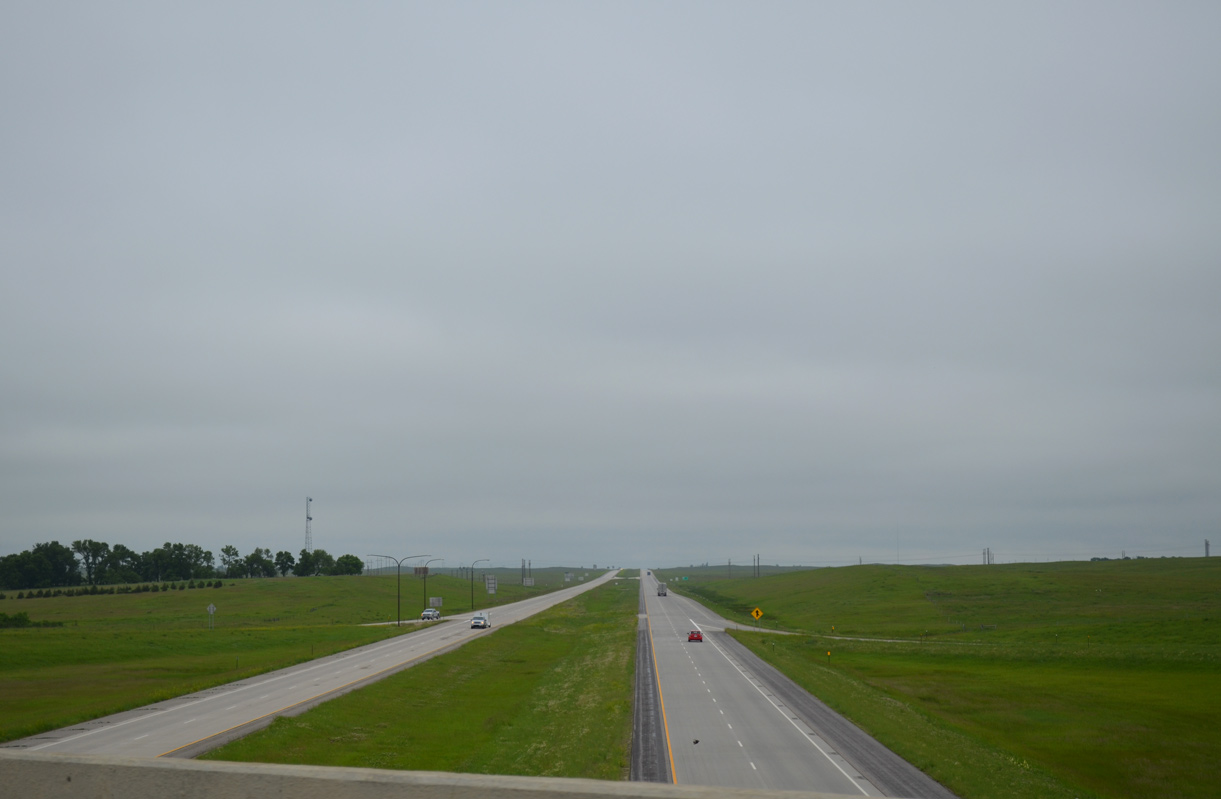
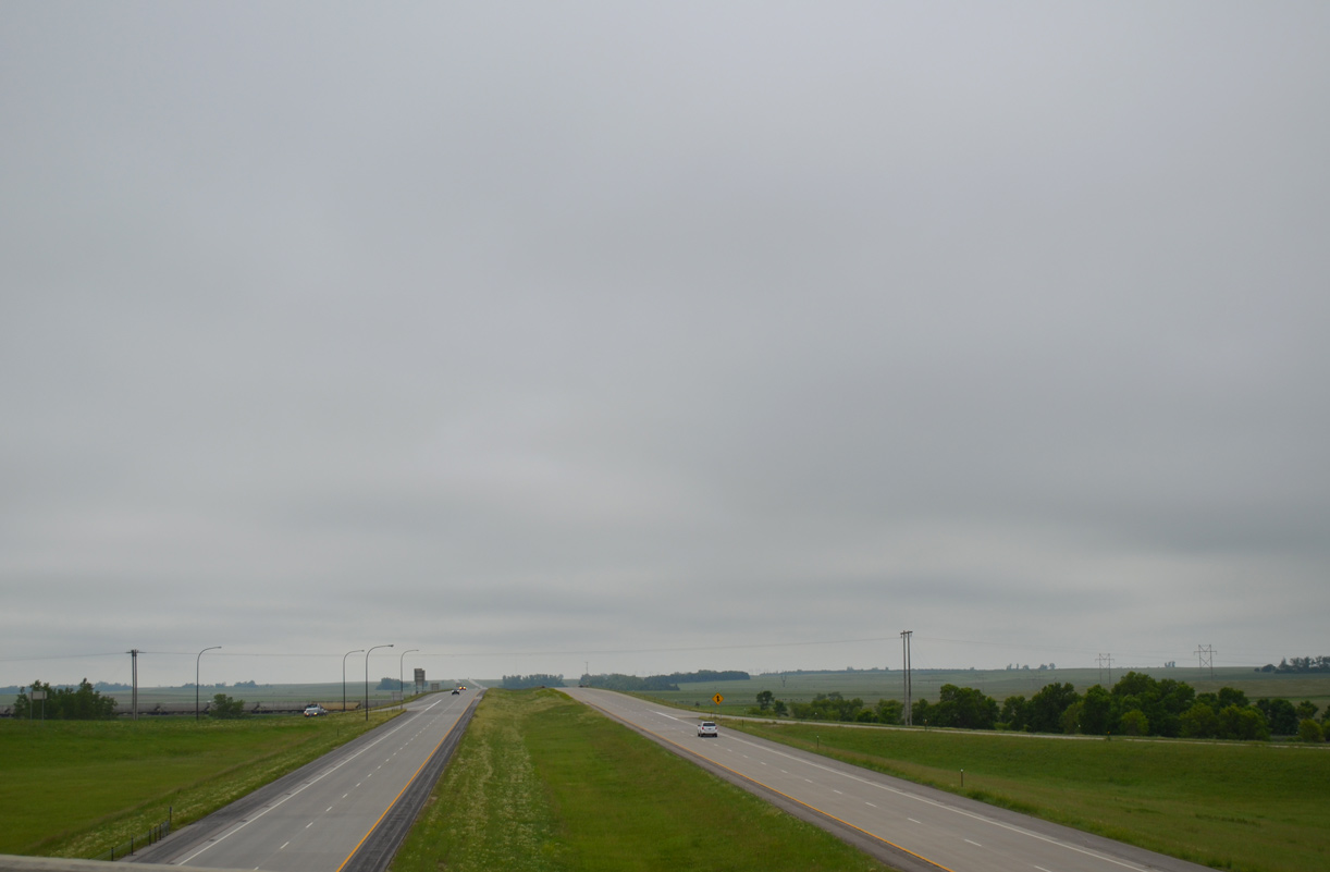
Interstate 29 traverses open prairie land throughout most of northeastern South Dakota. This view looks at the freeway north from the U.S. 12 overpass near Summit. 06/17/15
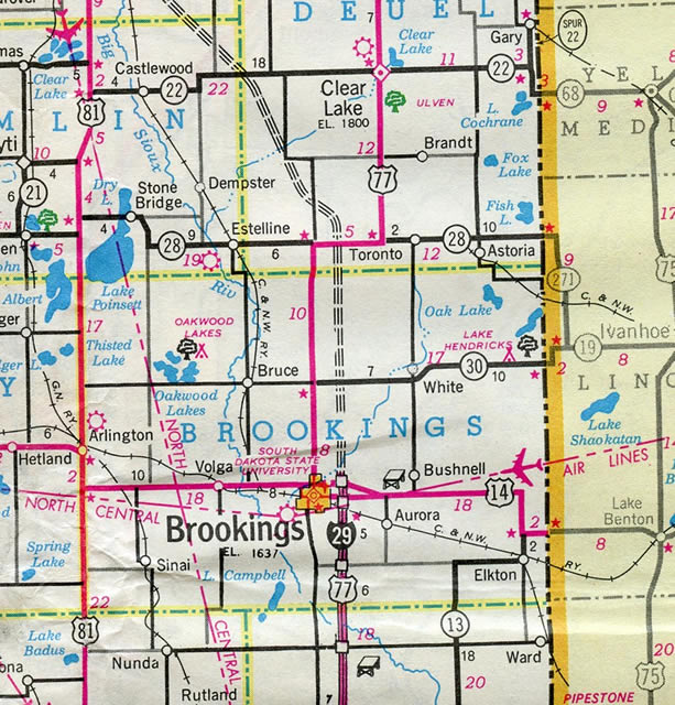
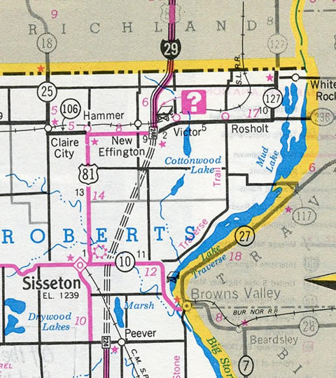
Interstate 29 travels 252.515 miles through eastern reaches of South Dakota between Sioux City, Iowa and North Dakota. The freeway replaced U.S. 77 from Iowa north to South Dakota 28 west of Toronto, and overlays the U.S. 81 corridor north of Watertown. The freeway expands to eight lanes in stretches through Sioux Falls.
Interstate 29 South Dakota Guides
The first portion of I-29 completed in South Dakota was a section in Sioux Falls between Russell Street and 60th Street North in the late 1950s.1 This stretch doubled as SD 38. Subsequent segments opened northward to SD 35 by Lone Tree and south to Sioux City, Iowa by 1965. Completion of the route northward from SD 34 to U.S. 14 outside Brookings occurred by 1971. The final portion of I-29 in South Dakota constructed was the piece between Exit 224 / Peever and Exit 246 with U.S. 81 at New Effington.
When Interstate 29 was completed in 1983, South Dakota was the fifth state to complete its portion of the Interstate Highway System.2
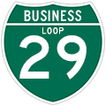

Interstate 29 Business Routes
Interstate 29 has four business routes in South Dakota. Unsigned Business Spur I-29P connects I-29 with North Sioux City. A state-maintained business loop follows northward from I-29 at the city of Elk Point. Business Spur I-29 overlaps with SD 42 east from I-29 along a locally maintained route to Downtown Sioux Falls.
The Brookings Business Spur for I-29 is signed only from the freeway mainline at Exit 132. The route running west concurrently with U.S. 14 along 6th Street is unsigned otherwise.
 scenes scenes |
 | 271st Street east at the SPUI with Interstate 29 between Tea and Sioux Falls. 08/06/16 |
 | 41st Street constitutes a heavily developed commercial arterial west from SD 115 (Minnesota Avenue) to Interstate 29 in south Sioux Falls. 08/13/16 |
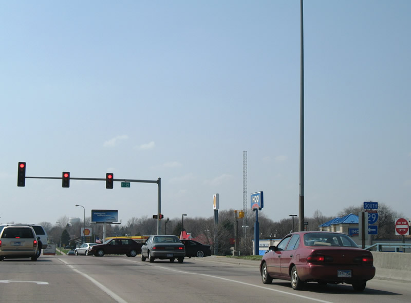 | 41st Street west at the southbound entrance ramp to Interstate 29. Heading south, I-29 continues to I-229 and Tea en route to Sioux City, Iowa. 04/20/07 |
 | 258th Street west meets Interstate 29 at a diamond interchange (Exit 86) north of Sioux Falls. The city of Crooks is a 1.9 mile drive away via CR 130 west and 470th Avenue (CR 137) north. 04/20/07 |
- The Unofficial South Dakota Highways Page: Highways 1 to 30.
http://www.northernplainshighways.org/sdakota/sd1-30.html#I-29 - South Dakota Department of Transportation. (2016, June 29). Fun Fact: South Dakota was the fifth state in the nation to complete its portion of the Interstate Highway System. Starting in 1964 and averaging 50 miles constructed each year, 1-90 was finished in 1976 and 1-29 was completed in 1983 [Facebook update]. Retrieved from https://www.facebook.com/southdakotadot/photos/
a.1422933601251847.1073741830.1422660934612447/1816635195215017/?type=3.
Photo Credits:
04/20/07, 08/06/16, 08/13/16 by AARoads
Connect with:
Interstate 90
Interstate 229
U.S. 14
Highway 38
Highway 50
Page Updated 02-18-2020.